Kayak à Oléron

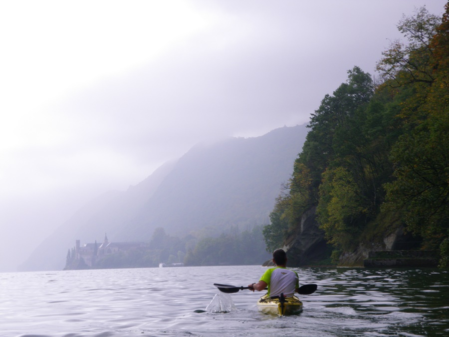
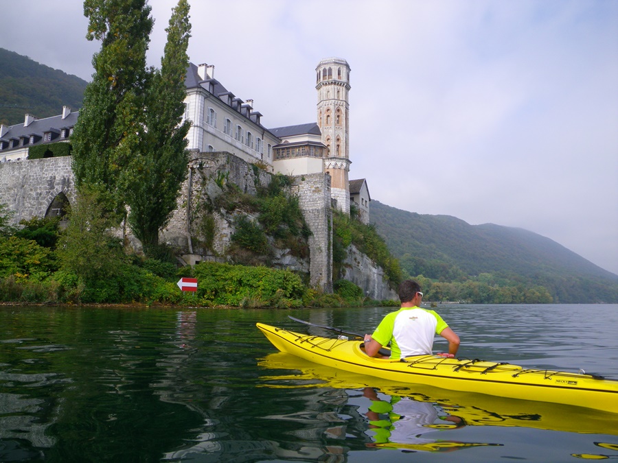
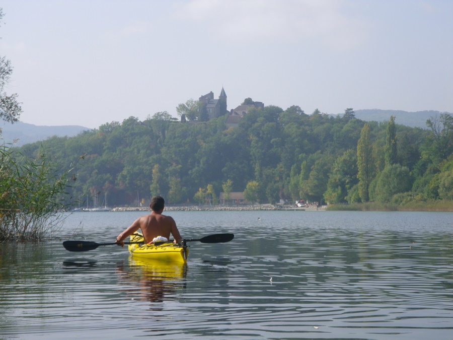
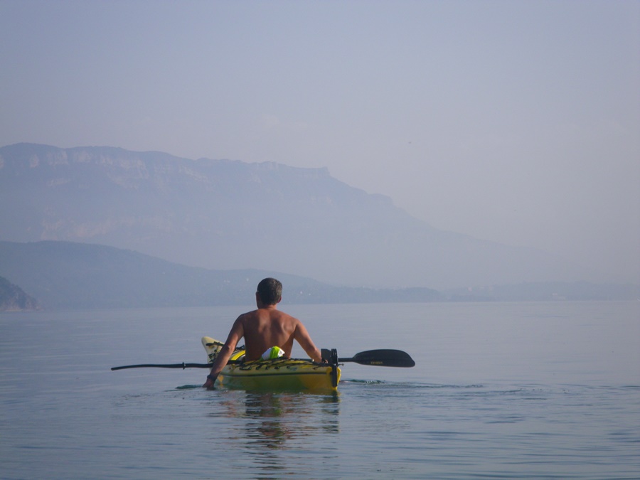
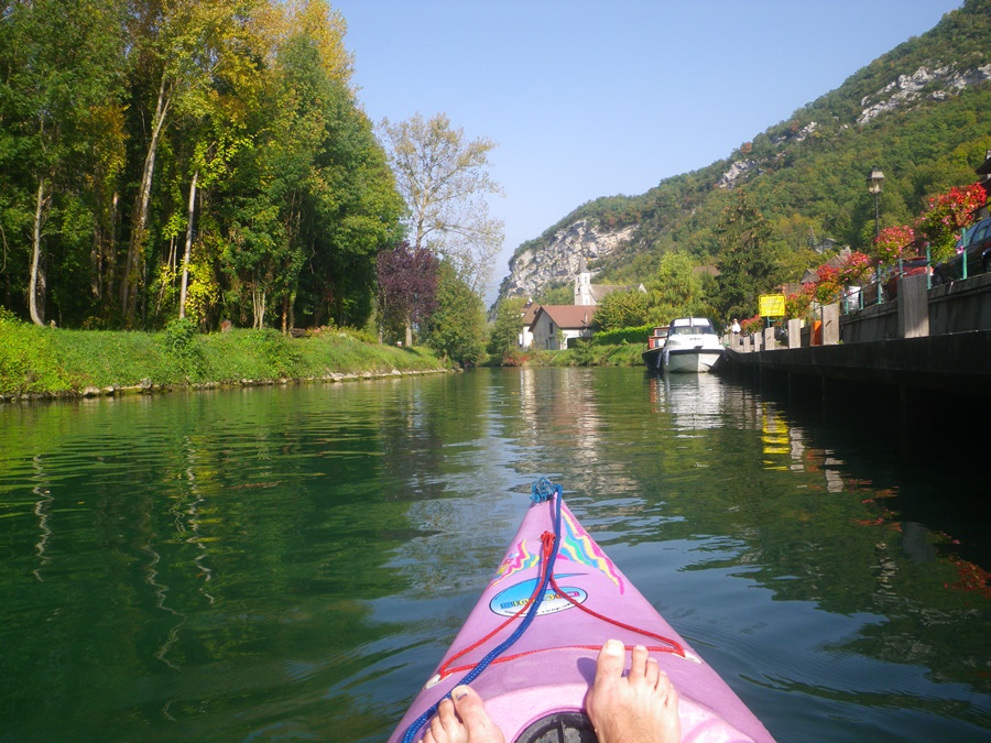
Juste avant de partir en vacances, j’ai eu l’opportunité d’acheter un kayak de mer d’occasion. Idéal pour partir à Oléron! Je l’ai testé sur une sortie de quatre heures.
Départ du chenal de Boyardville. Je suis en maillot de bain et gilet de sauvetage. Dans les coffres étanches, de l’eau, un sandwich, une polaire, un téléphone et l’appareil photo. Cap sur Fort Boyard. Je me retrouve entouré de vedettes à touristes, de hors bords, de voiliers allant ou revenant de cet îlot fameux. Au bout de trois quart d’heure d’efforts, je suis au pieds des murailles. Mais là, au milieu des vagues, pas question de gesticuler pour ouvrir les coffres et sortir l’appareil. Je regrette de ne pas en avoir un étanche. Tant pis, je n’aurai pas de photos du fort.
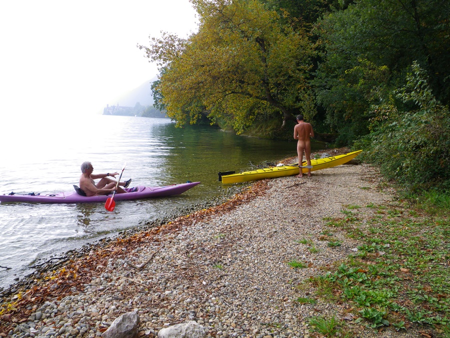
Je m’éloigne alors cet axe trop fréquenté et me retrouve vite seul, ramant en direction de la côte. Je quitte mon maillot mais garde le gilet, sécurité oblige. Je passe au large de deux bateaux de pêche et atterris en douceur sur la plage des Saumonards. La plage naturiste est pratiquement déserte. Je reste un moments là pour récupérer, puis reprends la mer.
Je longe la côte de loin, passe le port du Douhais. La marée est descendante. Je me rapproche de la terre, cherche à deviner où je pourrais bien aller. Je remets mon maillot et me dirige vers la Brée. Je me glisse entre les hauts fonds, les rochers découverts et les massifs d’algues comme dans un labyrinthe pour finalement venir me poser sur la plage après avoir contourner deux bateaux échoués dans la vase.
Il ne me reste plus qu’à téléphoner pour qu’on vienne me récupérer ici.


Just before going on vacation, I had the opportunity to buy a used sea kayak. Ideal to go to Oleron! I tested it on a four-hour trip.
Departure from the Boyardville channel. I’m in swimsuit and life jacket. In the watertight lockers, water, a sandwich, a fleece, a phone and the camera. Direction Fort Boyard. I find myself surrounded by tourist launches, speedboats, sailboats going to or coming back from this famous island. After three-quarters of an hour of effort, I’m at the foot of the walls. But there, in the middle of the waves, there’s no question of gesticulating to open the lockers and take the camera out. I regret not having a waterproof one. Too bad, I won’t have any pictures of the fort.
So I move away from this busy axis and quickly find myself alone, rowing towards the coast. I take off my jersey but keep the lifejacket, because of security reasons. I pass off two fishing boats and land softly on the beach of Les Saumonards. The naturist beach is practically deserted. I stay there for a while to recuperate, then go back to sea.
I go along the coast in the distance, passing the port of Douhais. The tide is ebbing. I get closer to land, trying to guess where I could go. I put my swimsuit back on and head towards the Brée. I slip between the shallows, the open rocks and the seaweed beds like a labyrinth, finally coming to land on the beach after having passed two boats stranded in the mud.
All I have to do now is call and someone will pick me up here.

Petite Vaudaine

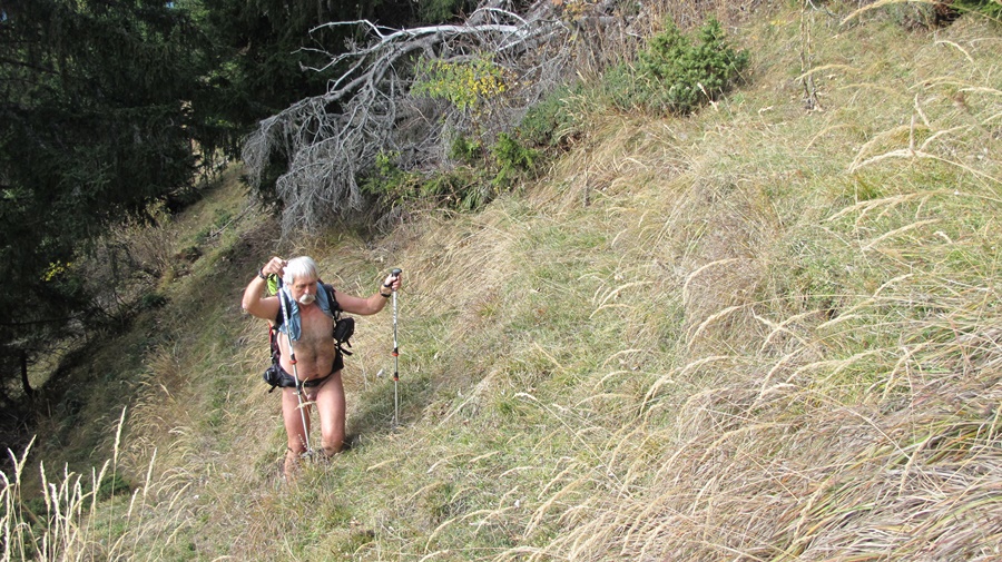
La vallée de la Romanche entre Vizille et Boug d’Oisans n’est pas à première vue l’endroit idéal pour aller se balader. Vallée étroite, embrumée de fumées d’usine, encombrée de lignes électriques, de conduites d’eau, de bâtiments industriels en activités ou en friches. Son unique intérêt est d’être la voie de passage incontournable vers les stations de l’Oisans. Pourtant, en regardant la carte, on s’aperçoit que quelques chemin y sont tracés.
Départ du monument aux morts, au bord de la route. Ce jour là, une cérémonie va y avoir lieu. Déjà quelques portes drapeaux montent la garde. Je me gare sur le parking derrière et m’éloigne en short et tee shirt. Une large piste contourne une grosse carrière puis s’élève en virages, le long du torrent. Elle s’arrête brusquement, mais un tout petit sentier prend la suite. Il s’enfonce dans la forêt et grimpe en zigzags. De temps en temps, dans un virage, on domine le torrent qui a creusé la roche.
A mi hauteur, le chemin passe devant une belle cascade. Douche rafraîchissante. Puis il continue toujours en sous bois. Il sort dans les hautes herbes juste en dessous de la cabane du Petit Vaudaine. Voyant de la fumée, j’enfile un short. La cabane est gérée par une association de chasse. Quatre personnes sont là se préparant un repas. Je m’éloigne quelque peu, passe une barrière d’arbre et retrouve ma tenue de balade.
Je voudrais aller au col de la Petite Vaudaine. Je longe un névé, puis contourne un éperon rocheux. Je monte droit dans la pente au milieu d’un tapis de rhododendrons en fleurs. Par moments, je retrouve des traces de sentiers, puis les perds dans des éboulis. La pente est raide. Je grimpe en visant ce qu’il me semble être le col, mais finalement je bute sur une barrière de barres rocheuses. J’aperçois sur une butte en dessous de moi ce qui pourrait être le chemin. Les chemins, ici, ont l’air d’avoir été abandonnés et en partie effacés par les éboulements et la végétation.
Je préfère redescendre. Mais auparavant, je profite longuement de la vue sur le Grand Galbert et le massif du Taillefer. Je remet mon short pour passer à proximité des chasseurs. Dans la descente, à la cascade, je m’asperge d’eau pour enlever la transpiration. Juste après, au moment de passer une ravine, j’entends une voix qui m’indique le bon passage. C’est l’un des chasseurs qui est parti en premier et qui attend là ses camarades. Je m’excuse pour ma tenue, qui ne semble pas gêner. On échange quelques mots et je repars.
La descente est pénible avec beaucoup de pierres instables. Finalement, je ne remet short et tee shirt qu’en arrivant à proximité de la route.


The Romanche valley between Vizille and Boug d’Oisans is not at first sight the ideal place to go for a walk. Narrow valley, misty with factory fumes, cluttered with power lines, water pipes, industrial buildings in activity or on wasteland. Its only interest is that it is the main route to the resorts of the Oisans. However, if you look at the map, you can see that some paths are marked out there.
Departure from the war memorial, on the side of the road. On this day, a ceremony will take place there. Already a few flag bearers are standing guard. I park in the parking lot behind and walk away in shorts and a t-shirt. A wide track goes around a big quarry and then rises in curves along the torrent. It stops abruptly, but a very small path takes over. It runs deep into the forest and climbs in zigzags. From time to time, in a bend, one dominates the torrent that has carved out the rock.
Halfway up, the path passes in front of a beautiful waterfall. Refreshing shower. Then it always continues in the undergrowth. It goes out into the high grass just below the Petit Vaudaine hut. Seeing smoke, I put on shorts. The hut is run by a hunting association. Four people are there preparing a meal. I move a little further away, pass a tree line and find my walking outfit.
I would like to go to the pass of Petite Vaudaine. I walk along a neve, then around a rocky spur. I climb straight up the slope in the middle of a carpet of rhododendrons in bloom. At times, I find traces of paths, then lose them in the scree. The slope is steep. I climb aiming at what seems to be the pass, but finally I come up against a barrier of rocky bars. I see on a mound below me what could be the path. The paths here seem to have been abandoned and partly erased by the landslide and the vegetation.
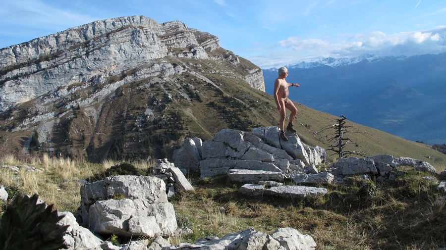
I prefer to go back down. But first, I enjoy the view of the Grand Galbert and the Taillefer massif for a long time. I put my shorts back on to pass close to the hunters. In the descent, at the waterfall, I sprinkle myself with water to remove perspiration. Just afterwards, as I cross a gully, I hear a voice telling me the right way. It is one of the hunters who left first and is waiting there for his comrades. I apologize for my outfit, which doesn’t seem to bother him. We exchange a few words and I leave.
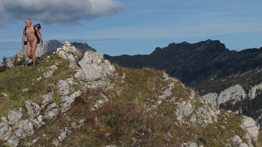
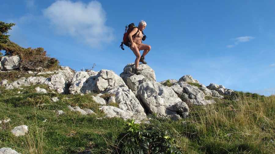
The descent is difficult with a lot of unstable rocks. Finally, I put on shorts and tee shirt only when I get close to the road.

Praorzel

Vendredi 13, jour de chance: je ne travaille pas et il fait beau.
Arrivé au col de Menée, il y a déjà une voiture sur le petit parking. Deux skieurs se préparent…et partent dans la direction opposée. Encore la chance. La pente de neige est juste au bord de la route. Il est tôt, la neige est encore dure. Au bout d’une dizaine de minutes, je suis hors de vue de la route. Il fait encore frais, surtout lorsque soufflent des rafales de vent, mais je me déshabille. La seule trace de raquette date de la veille. Je suis tout seul dans ce coin là. Je suis la crêtes de la Grande Leirie , succession de montée et descentes. Je fais ma trace dans la neige vierge, me faufile parfois entre les pins. Arrivé au bord d’une combe, j’aperçois trois chamois sur le versant d’en face. Ils se sauvent à mon approche.
Peu après, en me retournant, j’aperçois deux silhouettes qui suivent mes traces. Tant pis, je continue comme je suis. Arrivé au sommet de la Tête de Praorzel, je m’assieds sur une plaque d’herbe pour casse croûter. Là je remet un tee shirt , mon gilet et un short, car, immobile, on ressent nettement plus la fraîcheur du vent.
Le Mont Aiguille et le Grand Veymont sont en face. La vallée de Chichiliane juste au pied de la falaise.
Demi-tour. Je passe à proximité des deux skieurs entrevus tout à l’heure, qui se sont arrêtés eux aussi pour manger. Puis dès que seul de nouveau, je me redéshabille pour continuer la balade. Je suis tellement bien que je fais quelques détours, histoire de prolonger la sortie et profiter de tout cet espace qui s’offre à moi seul. Finalement, en vue du parking, je remet mes vêtements après cinq heures et demi de randonnée et plus de quatre heures et demi de randonnue.
Un jour de chance, ce vendredi 13!


Friday the 13th, lucky day: I’m not working and the weather is nice.
Arrived at the Menée pass, there is already a car on the small parking lot. Two skiers are getting ready…and leave in the opposite direction. Another lucky day. The snow slope is right on the side of the road. It’s early, the snow is still hard. After about ten minutes, I’m out of sight of the road. It’s still chilly, especially when there are gusts of wind, but I take off my clothes. The only trace of snowshoeing was from the day before. I’m all alone in that place. I follow the ridge of the Grande Leirie, a succession of ascents and descents. I make my mark in the virgin snow, sometimes sneaking through the pines. Arriving at the edge of a coomb, I see three chamois on the opposite slope. They run away as I approach.
Shortly afterwards, as I turn around, I see two silhouettes following in my footsteps. Never mind, I continue as I am. At the top of the Tête de Praorzel, I sit down on a patch of grass for a snack. There I put on a T-shirt, my waistcoat and shorts, because, motionless, one feels the freshness of the wind much more.
The Mont Aiguille and the Grand Veymont are opposite. The valley of Chichiliane just at the foot of the cliff.
Turn back. I pass close to the two skiers I saw earlier, who also stopped to eat. Then as soon as I’m alone again, I undress to continue the walk. I’m so good that I take a few detours, just to extend the outing and enjoy all this space that is offered to me alone. Finally, in view of the parking lot, I put my clothes back on after five and a half hours of hiking and more than four and a half hours of naked hiking.
A lucky day, this Friday the 13th!

Lacs du Venetier

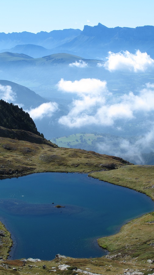
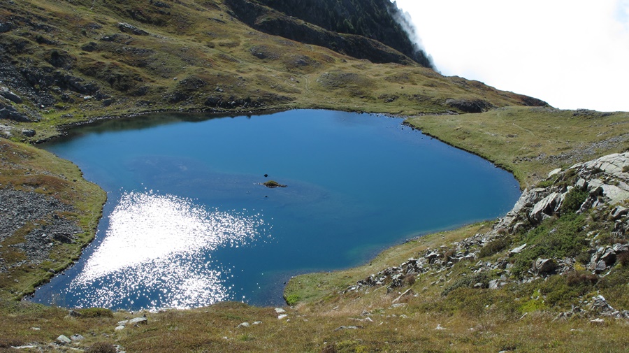
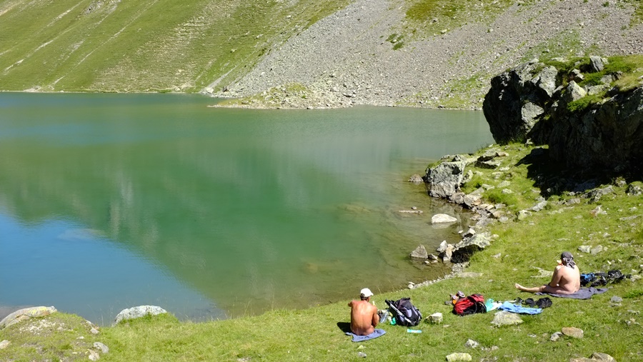
Un dimanche d’août, je suis monté au premier lac du Venetier, au dessus du habert d’Aiguebelle. Il faisait beau et chaud, il y avait du monde sur les chemins. Je suis resté habillé, en short, pour marcher, mais j’ai quand même pu profiter d’un moment de nudité au bord du lac le temps d’une courte baignade, avant que des personnes viennent s’installer en face de moi, puis encore une fois après qu’elles soient parties.
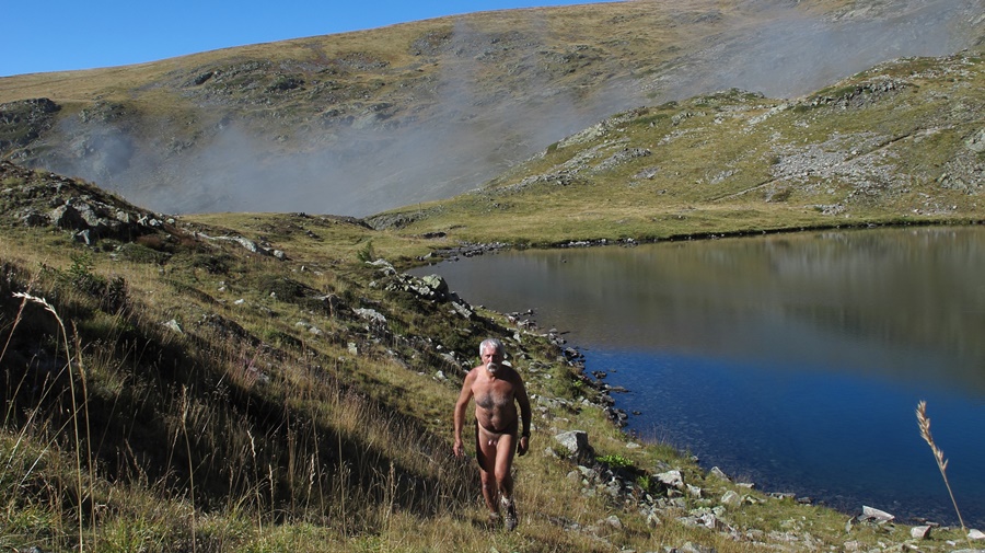
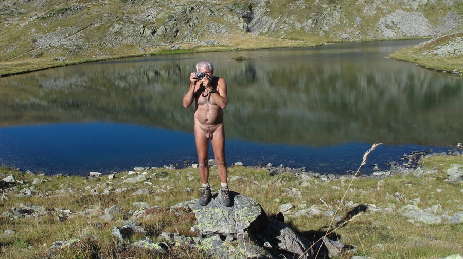
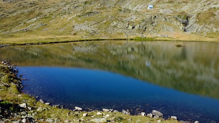
J’y suis retourné en septembre. La météo était beaucoup moins agréable, mais c’est souvent un gage de tranquillité. Je suis parti nu du parking et me suis juste rhabillé pour croiser deux personnes qui descendaient, aperçues à l’avance. Le habert était fermé et les troupeaux redescendus dans la vallée. Par moment, les nuages envahissaient tout l’espace, se transformant en brouillard, puis se déchiraient laissant filtrer quelques rayons de soleil. Arrivé, au premier lac, l’atmosphère ne donnait plus du tout envie de se plonger dans l’eau. J’ai continué jusqu’aux lacs suivants, tout à fait différents dans leur environnement herbeux. Puis, voyant le sommet de la Jasse complètement bouché, j’ai fait demi tour.


One Sunday in August, I went up to the first lake of Le Venetier, above the habert of Aiguebelle. It was beautiful and hot, there were people on the paths. I stayed dressed, in shorts, to walk, but I could still enjoy a moment of nudity by the lake for a short swim, before people came to settle in front of me, then again after they had left.
I went back in September. The weather was much less pleasant, but it is often a guarantee of quietness. I left naked from the parking lot and just got dressed to pass two people who were coming down, seen in advance. The habert was closed and the herds were back down in the valley. At times, the clouds invaded the whole space, turning into fog, then tore apart and let a few rays of sunshine filter through. When reaching the first lake, the atmosphere no longer made one want to dive into the water. I continued on to the next lakes, which were quite different in their grassy surroundings. Then, seeing the top of the Jasse completely obstructed, I turned back.

Ornon

Durant l’été, je me suis raccroché à une invitation lancée sur la liste du groupe yahoo rando-nue pour une rando près de Bourg d’Oisans. Je n’avais pas prévenu que je participais et n’ayant que quelques heures de libre avant des rendez vous professionnels, j’ai dû faire demi tour avant la fin de la balade. J’ai néanmoins été très bien accueilli.
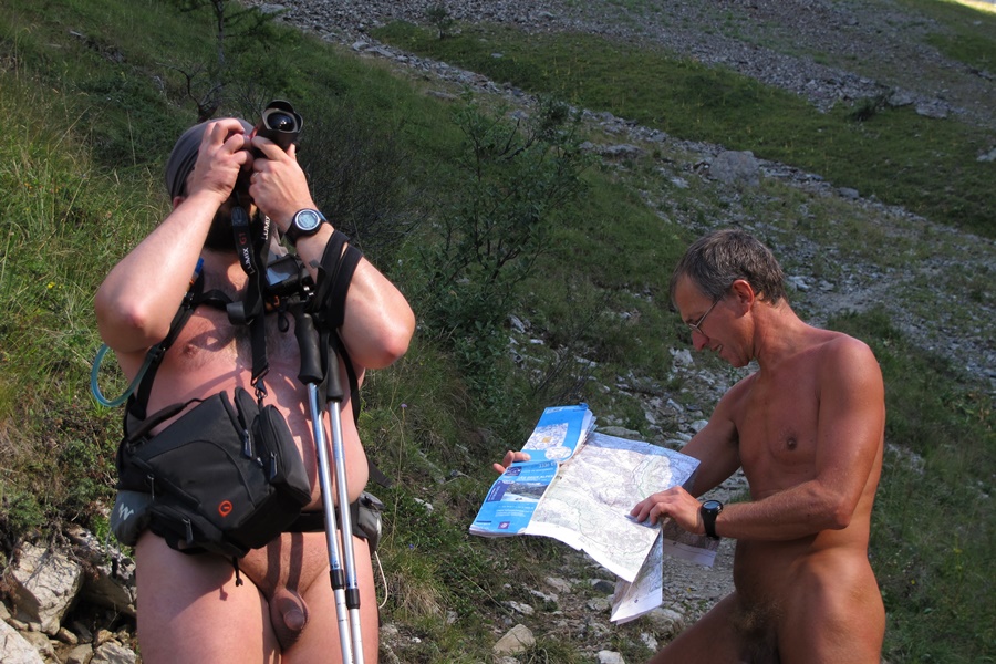
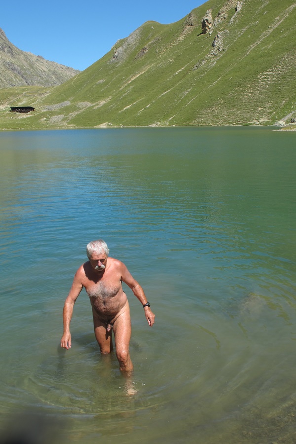
D’un parking au dessus du village d’Ornon, tout de suite nus, nous avons évité le chemin quelque peu fréquenté qui mène au lac Fourchu et nous avons attaqué la montée par un sentier en zigzag vers une bergerie puis le refuge, fermé, du Taillefer avant de continuer sur cette zone de petits lacs située entre le pied du Taillefer et le sommet du Grand Galbert, objectif avoué de certains.
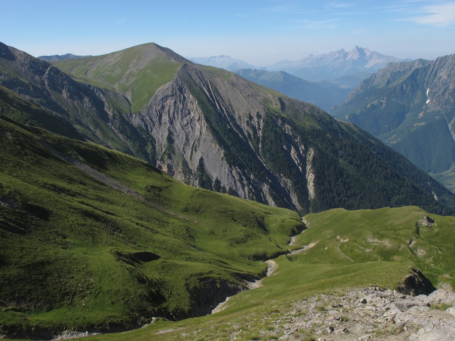
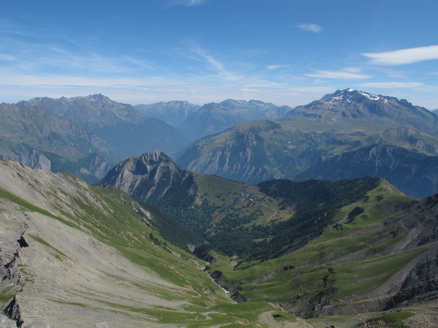
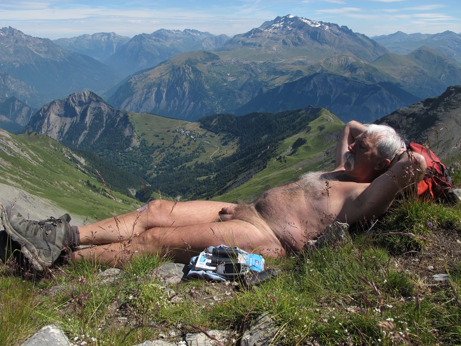
Vue panoramique tout au long du parcours depuis le massif des Rousses et l’Alpe d’Huez jusqu’à la Meije et le glacier de la Girose, le haut des Deux Alpes d’un coté, sur le col d’Ornon et le Taillefer de l’autre, et depuis le plateau un aperçu sur la station de Chamrousse à l’extrémité de Belledonne.
Dans ce petit groupe, j’avais déjà marché avec Michel à l’occasion d’une sortie dans les Bauges et croisé Franck. Mais j’ai surtout été heureux de rencontrer Doug, un néo zélandais dont je connaissais le site internet. Il est l’un des premiers à avoir mis en ligne récits et images de randonnues. Son site est parmi ceux qui m’ont motivé et servi d’exemple. Cela a été un réel plaisir de le trouver là en chair et en os! Je regrette seulement de n’avoir pas eu plus de temps disponible. J’ai quitté le groupe en vitesse et suis redescendu droit dans la pente pour rejoindre le parking et retourner au travail.
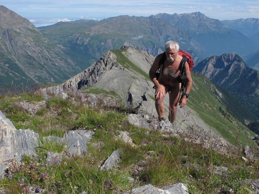
J’ai refait cette même balade au mois d’octobre, tout seul, mais dans son intégralité. En grimpant jusqu’aux sommets du Grand Galbert, marqués par trois gros cairns. En fait, c’est plutôt une grosse bosse caillouteuse. Mais de la-haut, on a une belle vue sur la vallée de Bourg d’Oisans. Pour éviter un berger et son troupeaux qui se sont engagés sur l’itinéraire que je voulais prendre, j’ai choisi de revenir en faisant un détour en suivant une vague trace dans la pente. Ce sera la seule présence humaine aperçue durant les cinq heures et quelques de la balade, faites nu du début à la fin.


During the summer, I grabbed an invitation from the yahoo rando-nu list for a hike near Bourg d’Oisans. I hadn’t warned that I was taking part and having only a few hours free before professional appointments, I had to turn back before the end of the hike. Nevertheless, I was very well received.
From a car park above the village of Ornon, immediately naked, we avoided the somewhat busy path leading to Lake Fourchu and we attacked the ascent by a zigzag path towards a sheepfold and then the closed Taillefer hut before continuing on this area of small lakes located between the foot of Taillefer and the summit of Grand Galbert, an avowed objective of some.
Panoramic view all along the route from the Rousses massif and the Alpe d’Huez to the Meije and the Girose glacier, the top of the Deux Alpes on one side, on the Col d’Ornon and the Taillefer on the other, and from the plateau a glimpse of the resort of Chamrousse at the end of Belledonne.
In this small group, I had already walked with Michel during an outing in the Bauges and crossed Franck. But I was especially happy to meet Doug, a New Zealander whose website I already knew. He is one of the first to have put online stories and pictures of naked hikes. His site is among those that motivated me and served as an example. It was a real pleasure to find him there in the flesh! I only regret not having had more time available. I left the group in a hurry and went straight down the slope to the parking lot and back to work.
I did the same walk again in October, alone, but in its totality. Climbing to the top of the Grand Galbert, marked by three big cairns. In fact, it’s more like a big rocky bump. But from up there, we have a beautiful view of the valley of Bourg d’Oisans. To avoid a shepherd and his flock who took the route I wanted to take, I chose to come back by making a detour following a vague trace in the slope. This will be the only human presence seen during the five hours or so of the walk, made naked from start to finish.

Salins de Giraud

En camping sur la plage de Piémanson des Salins de Giraud. On s’est installé pour deux jours à l’extrémité de la plage textile. On est entouré de quelques caravanes installées à demeure pour l’été et d’autres tentes.
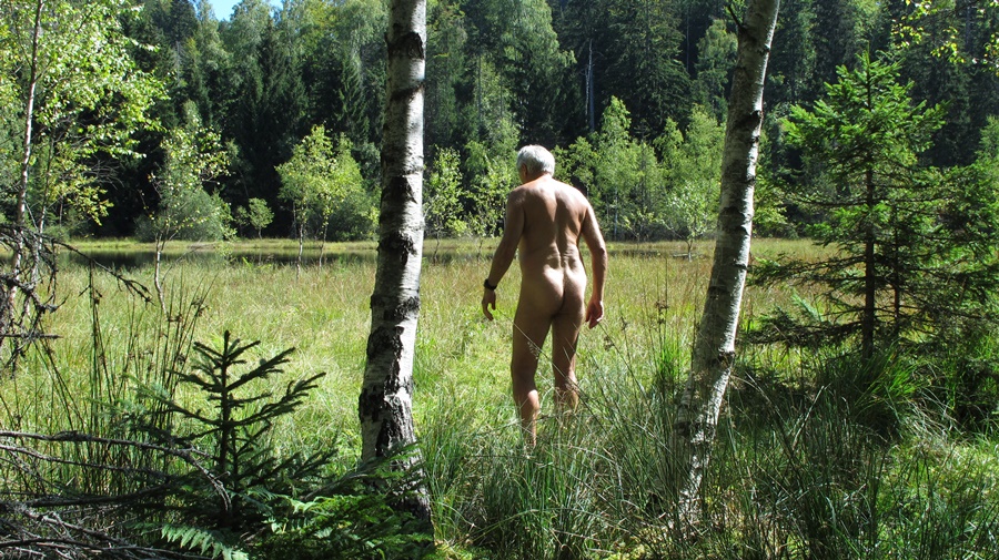
Levé très tôt, je pars courir et marcher le long du rivage juste au lever du soleil. A cet heure là, je suis tranquille et peux me mettre nu dès qu’un peu éloigné des campements. Je ne verrai personne à part deux plongeurs occupés à pêcher à quelque distance de la plage. Je suis la lisère de l’eau et du sable, passe des enrochements de gros blocs rocheux et continue sur une digue entre mer et marais salant. Demi tour et retour pour retrouver la tente et me recoucher!


Camping on the beach of Piémanson at Salins de Giraud. We settled for two days at the end of the textile beach. We are surrounded by a few caravans permanently installed for the summer and other tents.
I get up very early and go for a run and a walk along the shore just at sunrise. At this time of the day, I am quiet and can get naked as soon as I am a little far from the campsites. I won’t see anyone but two divers busy fishing some distance from the beach. I follow the edge of the water and sand, pass some large boulders and continue on a dike between sea and salt marsh. I turn around and go back to find the tent and go back to bed!

Coiro

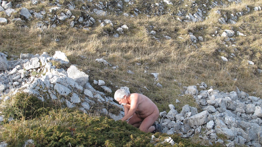
Premier jour de mes congés d’été. J’en profite pour faire une boucle que j’avais repérée sur la carte 3336OT. C’est aussi un coin que j’avais juste en face de moi depuis le Tabor, la semaine dernière.
Je laisse la voiture dans un hameau près d’Oris en Rattier. La première heure je reste habillé pour suivre une petite route, traverser un autre hameau et rester le long de champs qui semble bien entretenus et civilisés. Dès que le chemin tourne dans le vallon du ruisseau de Rif Bruyant, je quitte short et tee shirt. Je resterai nu durant sept heures d’affilé jusqu’à mon retour au dessus d’Oris et de la route.
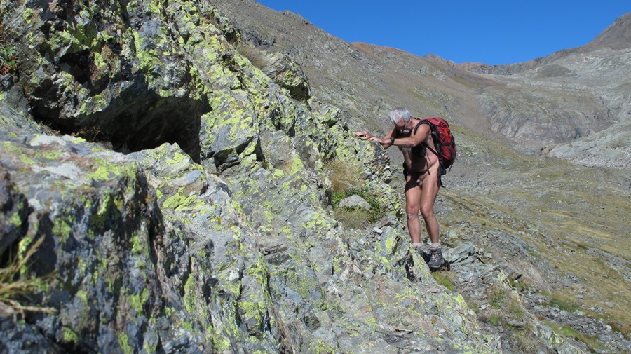
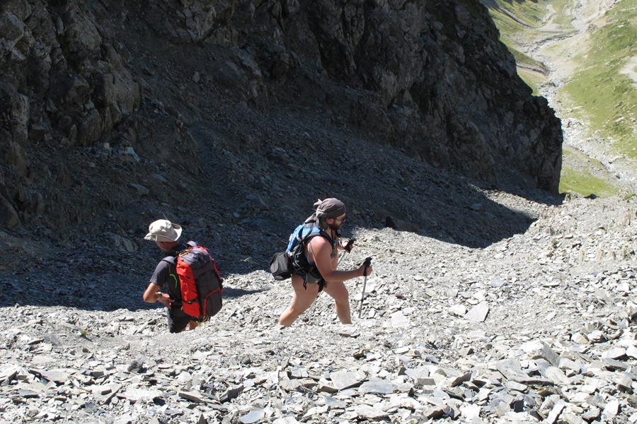
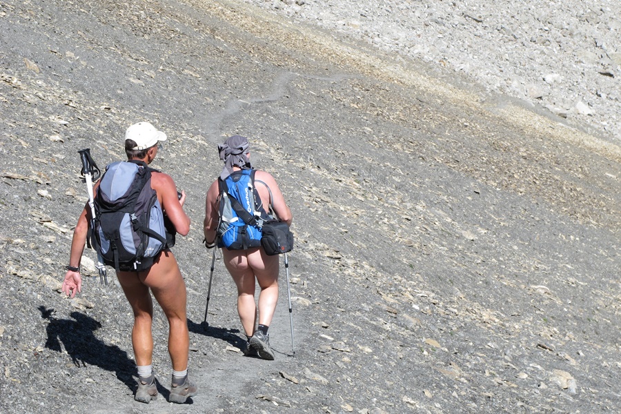
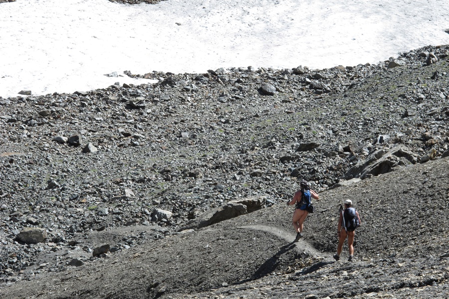
En suivant le ruisseau, le chemin passe par un joli chemin creux près d’un ancien village déserté, puis monte en sous bois jusqu’à un alpage au fond d’un cirque entouré de sommets. Le sentier continue en lacets (je ne les a pas comptés, mais…). Diversité des couleurs: L’herbe verte se fait plus rare, des passages très minéral dans des pierriers de roche noire, quelques névés d’un blanc étincelant sous le soleil, un ruisseau chargé sans doute de fer traverse le sentier en colorant la roche en rouge. Au milieu des pierres, le bleu des gentianes.
Sans trop traîner, j’aurai mis quatre heure et demi pour atteinte ce petit col, juste sous le sommet du Coiro. Je n’ai vu que trois randonneurs qui descendaient sur un versant opposé à celui sur lequel je montais, donc suffisamment loin pour ne pas être inquiété.
Pour redescendre, je change de versant. Une petite corniche permet de passer au dessus d’une grande combe qui domine la vallée du Perrier. Puis basculement vers une grande pente avec encore nombre de lacets. Ce versant est couvert d’herbe haute. Passage en foret. Ça fait du bien un peu d’ombre. La fin du parcours entre la cabane de la Dreyre et la crête de Belle Côte semble bien peu fréquenté. Le chemin disparaît parfois sous la végétation. Il faut se fier à son sens de l’orientation. Enfin arrivé au dessus d’Oris, il faut finir par une large piste défoncée par les engins forestiers et quelques kilomètres sur la route pour retrouver la voiture.


First day of my summer vacation. I take this opportunity to make a loop that I had spotted on the 3336OT map. It’s also a place I’ve had right in front of me since Tabor last week.
I leave the car in a hamlet near Oris en Rattier. The first hour I stay dressed to follow a small road, cross another hamlet and stay along fields that seem to be well maintained and civilized. As soon as the path turns in the valley of the Rif Bruyant stream, I quit shorts and tee shirt. I will stay naked for seven hours in a row until I return over Oris and the road.
Following the brook, the path goes through a pretty shallow path near an old deserted village, then goes up in the undergrowth to a mountain pasture at the bottom of a cirque surrounded by peaks. The path continues in twists and turns (I didn’t count them, but…). Diversity of colours: Green grass is becoming rarer, very mineral passages in black rocky scree, some snows of a sparkling white under the sun, a stream, probably loaded with iron, crosses the path and colours the rock in red. In the middle of the rocks, the blue of the gentians.
Without dragging too much, it took me four and a half hours to reach this small pass, just below the summit of the Coiro. I only saw three hikers coming down on a slope opposite to the one I was climbing on, so far enough not to be worried.
To get back down, I change sides. A small ledge allows me to pass over a large coomb that dominates the Perrier valley. Then, it tilts towards a large slope with still a number of laces. This slope is covered with high grass. Passage in the forest. It’s good to have some shade. The end of the route between the Dreyre hut and the Belle Côte ridge seems very little frequented. The path sometimes disappears under the vegetation. You have to rely on your sense of direction. Finally arrived above Oris, it is necessary to finish by a wide track broken by the forest machines and a few kilometers on the road to find the car.

Tabor

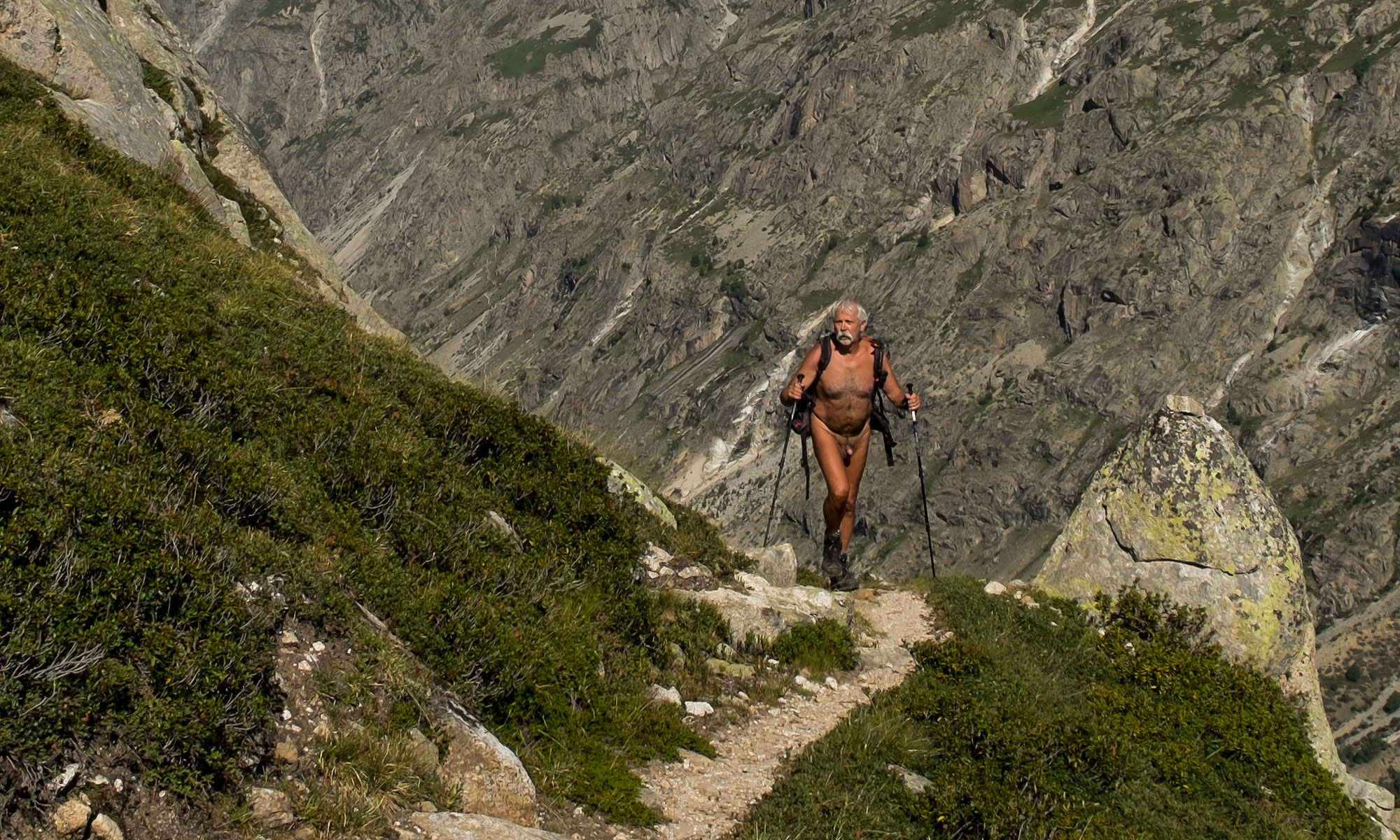
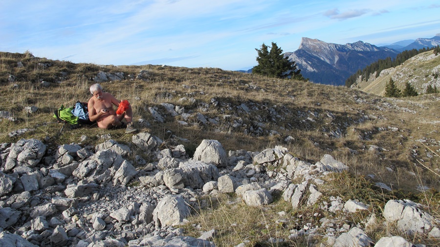
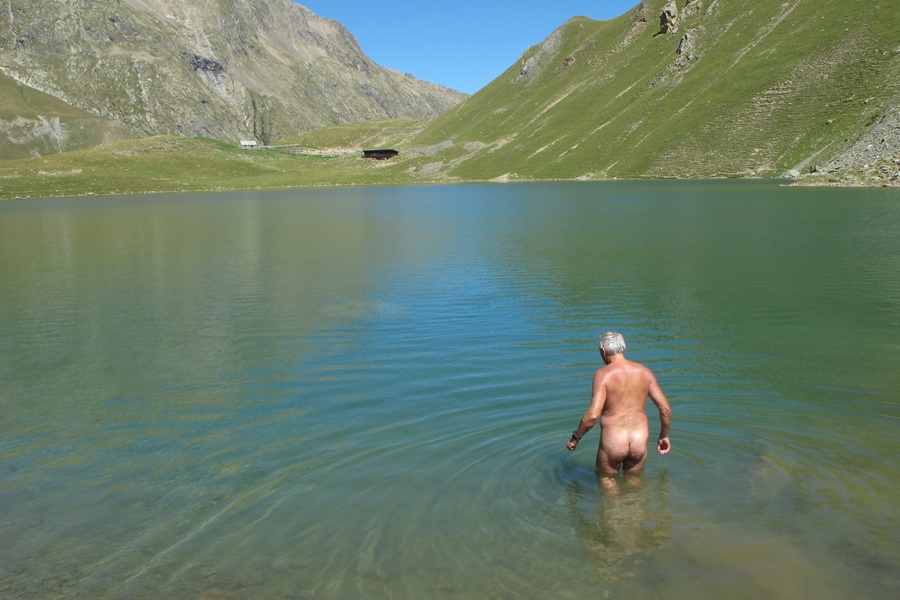
Début juillet. Vendredi, 10 heures du matin. Je gare la voiture au départ du chemin près du col de Malissol. 150 mètres pour m’éloigner de la route et je me déshabille. Je resterai nu jusqu’au retour à ce même endroit, près de six heures plus tard.
On est début juillet, donc déjà en période de vacances scolaires. Je craignais qu’il y ait du monde en randonnée. En fait je ne verrai personne de la journée. La montagne pour moi tout seul.
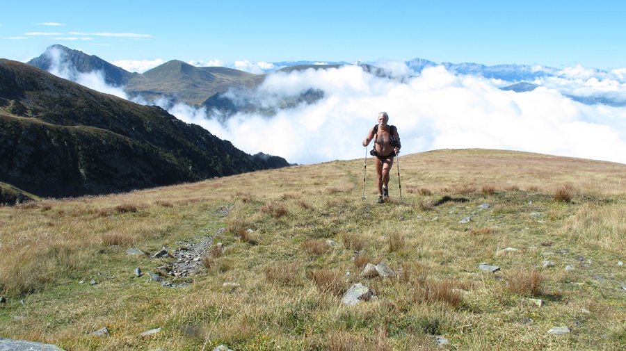
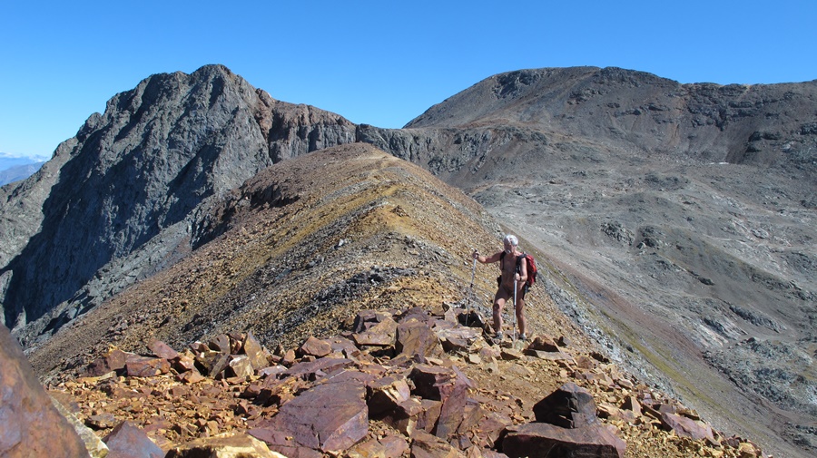
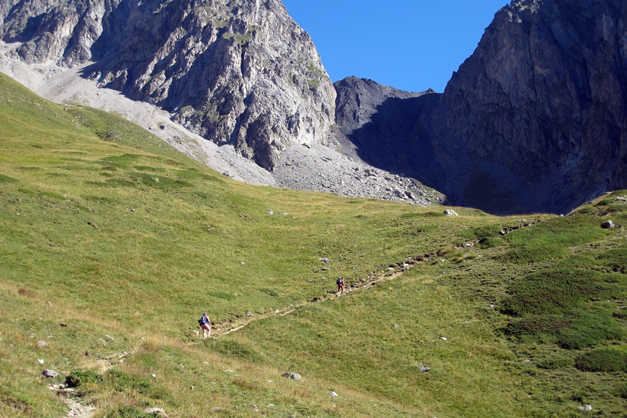
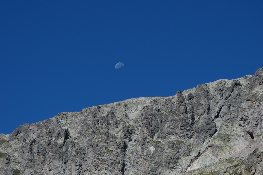
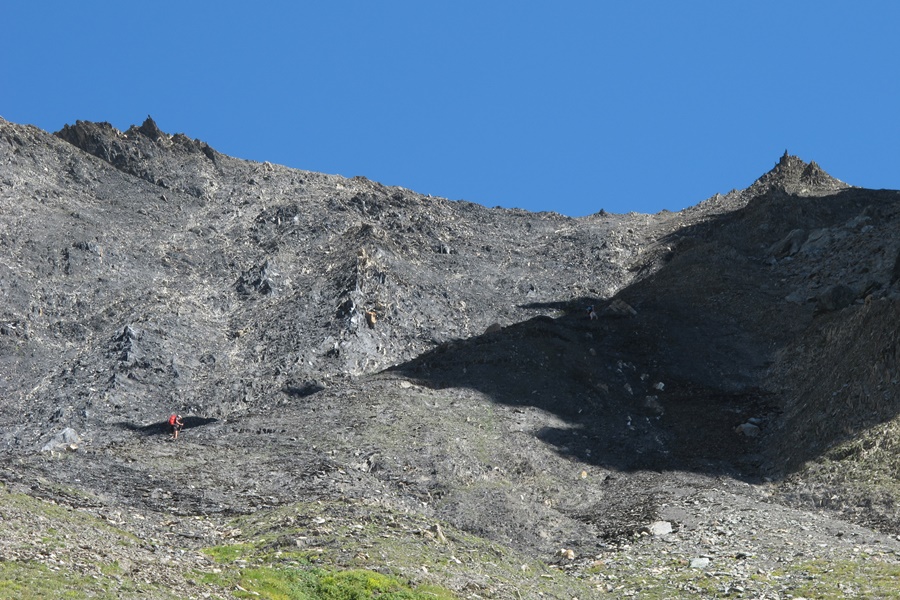
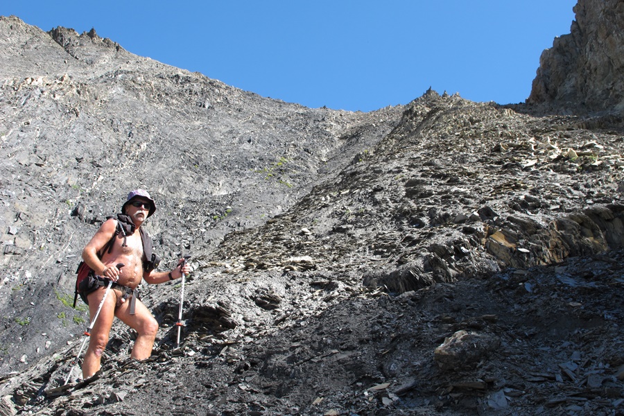
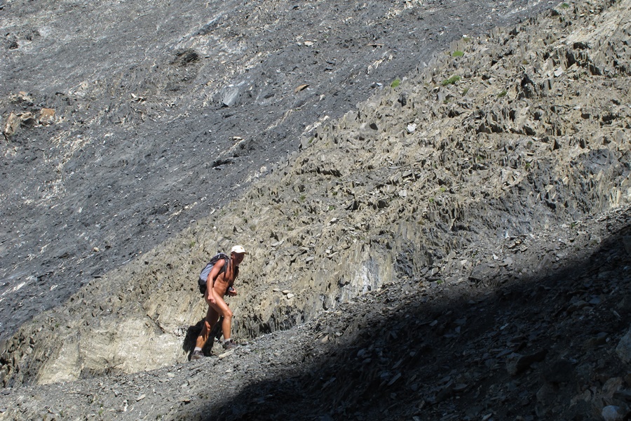
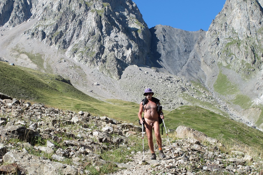
C’est un itinéraire de crête. Une ligne directe qui suit la limite des versants orientés vers le plateau de La Mure et des lacs de Laffrey à gauche en montant et vers la vallée de Lavaldens et les montagnes du Valbonnais sur la droite. Un parcours de 1200 mètres de dénivelé qui débute par un étroit sentier dans la forêt pour rejoindre un alpage d’herbe haute puis s’élève par deux bons raidillons jusqu’à la crête rocheuse qui s’étend du Piquet de Nantes au point culminant du Tabor à 2389 m d’altitude.
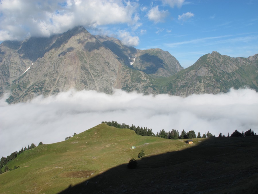
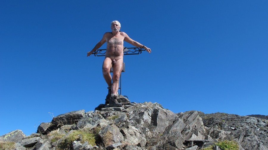
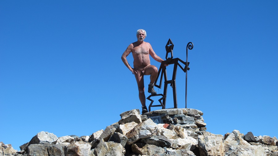
L’alpage est parsemé de couleurs et il reste même quelques touffes de rhododendrons en fleurs en haut. Le sommet, bien accroché par les nuages le matin, se dégage à mesure que le temps passe. Finalement j’arrive sur un sommet ensoleillé alors qu’au loin la barrière du Vercors ou l’Obiou restent enveloppés de nuages. J’ai décidément toutes les chances.
Le Tabor est aussi accessible depuis la station presque abandonnée de Saint Honoré 1500.


Early July. Friday, 10 a.m. I park the car at the start of the trail near the Malissol Pass. 150 meters to get away from the road and I undress. I’ll stay naked until I return to the same place almost six hours later.
It’s the beginning of July, so it’s already the school holiday period. I was afraid that there would be people hiking. In fact, I won’t see anyone all day. The mountain all to myself.
It’s a ridge route. A direct line that follows the limit of the slopes facing the plateau of La Mure and the lakes of Laffrey on the left while going up and towards the valley of Lavaldens and the mountains of Valbonnais on the right. A 1200-metre gradient which starts with a narrow path in the forest to reach a high grass mountain pasture and then rises by two good raidillons to the rocky ridge which stretches from the Piquet de Nantes to the highest point of Tabor at 2389 m altitude.
The mountain pasture is dotted with colours and there are even a few tufts of rhododendrons in bloom at the top. The summit, which is well hung by the clouds in the morning, clears up as time goes by. Finally I arrive on a sunny summit while in the distance the barrier of the Vercors or the Obiou remain shrouded in clouds. I definitely have every chance.
Tabor is also accessible from the almost abandoned resort of Saint Honoré 1500.

Orisan

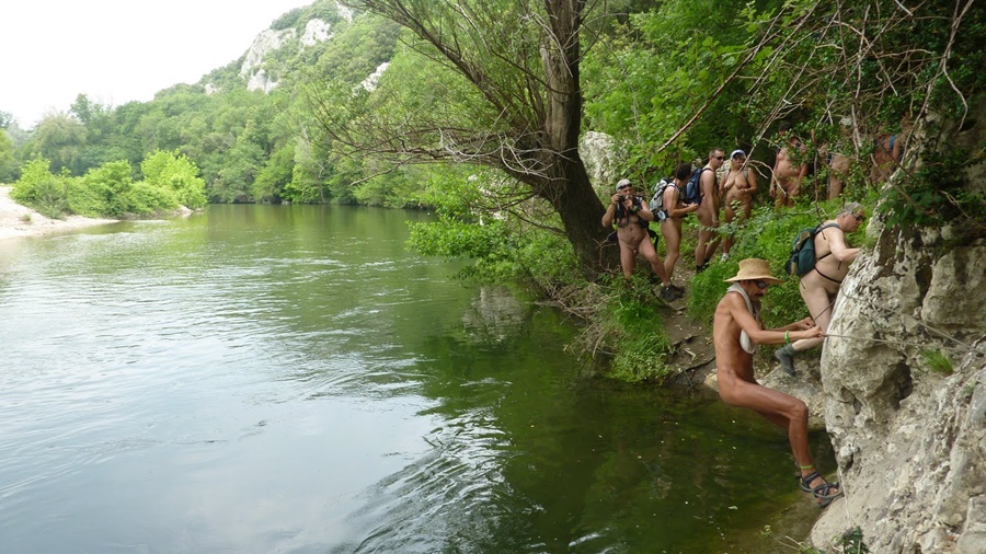
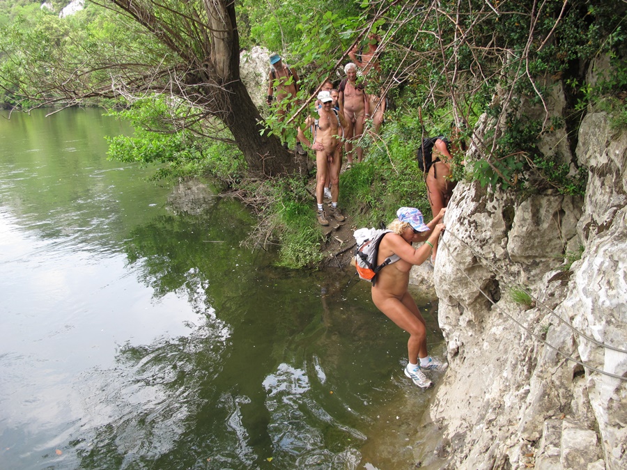
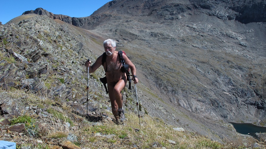
Double découverte ce mercredi de mars : une première randonnue en groupe, inhabituelle pour moi qui aime courir la montagne en solitaire, dans un coin que je ne connaissais pas encore : les Bauges en Savoie.
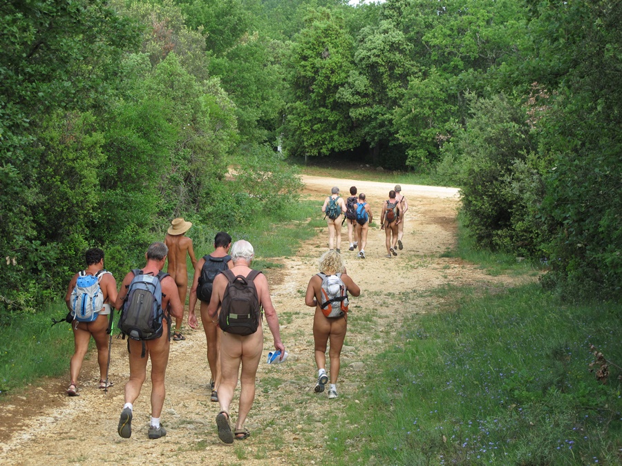
Vers 9 heures du matin, nous nous retrouvons sur un parking désert au bout d’une petite route au fond d’un vallon étroit. Plus loin, la route n’est plus accessible qu’aux véhicules des forestiers. Nous sommes neuf, huit hommes et une femme, venant de Lyon, du pays de Gex près de Genève, d’Annecy et de Grenoble.
Il fait encore plutôt frais à l’ombre et près du torrent, nous démarrons habillé sur la route forestière. Vingt minutes plus tard, nous atteignons la zone ensoleillée, c’est bien plus agréable et nous pouvons nous déshabiller. Nous resterons nus les sept heures suivantes jusqu’au retour au parking. La route se transforme en piste, puis en chemin pour atteindre les chalets d’alpage du Haut du Four. Arrêt pour admirer le paysage. La pointe de Chorionde nous fait face, bien tentante, mais nous partons de l’autre coté en direction du mont d’Orisan.
Le cheminement se fait entre touffes herbeuses et plaques de neiges, entre zones de sapins et croupes dégagée. Nous dominons Albertville et la vallée de l’Isère. On pourrait continuer vers le Grand Roc, mais l’heure avance et on préfère se trouver un coin abrité du vent pour le casse croûte. On quitte donc la crête pour s’installer légèrement en contrebas sur des rochers réchauffés par le soleil. Des sacs sortent les victuailles et aussi quelques bouteilles. C’est donc aussi à une randonnue œnologique que nous participons.
Quelques cumulus s’installent aussi, dont profitent un planeur et un parapente. Le parapentiste vient nous survoler à basse altitude, voir qui sont ces curieux randonneurs.
Retour par un chemin qui se perd plus ou moins dans un pierrier, pour rejoindre un col et nos chalets de tout à l’heure. Pour redescendre nous empruntons un étroit sentier qui zigzague dans la forêt, traverse au fond des combes quelques ruisseaux ou cascades. Les plus téméraires n’hésitent pas à se jeter à l’eau (de fonte des neiges!).
Sur le parking désert, nous partageons une dernière bouteille, le verre de l’amitié, avant de se résoudre malgré tout à se rhabiller pour repartir. Une bien sympathique journée qui m’a permis notamment de rencontrer des gens que je ne connaissais que par messagerie interposée sur des forums. Et puis, quel avantage d’avoir quelqu’un du coin pour préparer et guider la balade. Je suis sûr que tout seul avec ma carte, je n’aurai sans doute pas fait un aussi bon choix d’itinéraire. Merci donc à tous !


Double discovery this Wednesday of March: a first group naked hike, unusual for me who likes to run the mountain alone, in a place I didn’t know yet: les Bauges in Savoie.
Around 9am, we find ourselves on a deserted car park at the end of a small road at the bottom of a narrow valley. Further on, the road is only accessible to foresters’ vehicles. We are nine, eight men and one woman, coming from Lyon, the Pays de Gex near Geneva, Annecy and Grenoble.
It is still rather cool in the shade and close to the torrent, we start dressed on the forest road. Twenty minutes later, we reach the sunny area, it’s much more pleasant and we can undress. We will stay naked for the next seven hours until we return to the car park. The road turns into a track and then into a path to reach the alpine chalets of the Haut du Four. Stop to admire the landscape. The Pointe de Chorionde faces us, very tempting, but we head on the other side towards the Mont d’Orisan.
The path is between grassy tufts and snowy patches, between areas of fir trees and open crests. We dominate Albertville and the Isère valley. We could continue towards the Grand Roc, but the time is running out and we prefer to find a place sheltered from the wind for a snack. So we leave the ridge to settle down slightly below on rocks warmed by the sun. Bags take out the victuals and also some bottles. It is thus also with an oenological naked hike that we take part in.
A few cumulus clouds also settle down, which a glider and a paraglider take advantage of. The paraglider comes to fly over us at low altitude, to see who these curious hikers are.
Return by a path which is more or less lost in a scree, to join a pass and our chalets of earlier. To go back down we take a narrow path that zigzags in the forest, crosses at the bottom of the combes a few streams or waterfalls. The most daring don’t hesitate to throw themselves into the water (of melting snow!).
On the deserted parking lot, we share a last bottle, the glass of friendship, before getting dressed to depart. A very nice day that allowed me to meet people I only knew by messaging on forums. And then, what an advantage to have someone from the local area to prepare and guide the ride. I’m sure that alone with my map, I probably wouldn’t have made such a good choice of itinerary. So thank you all!

Le désert de Chartreuse

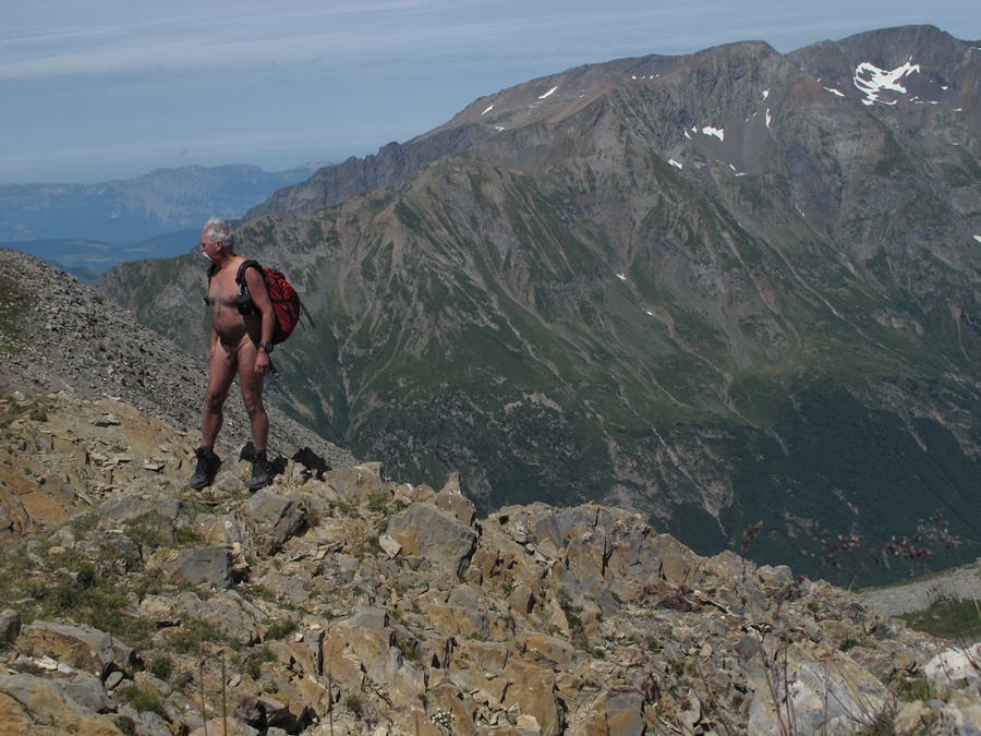
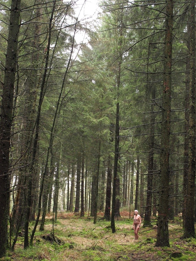
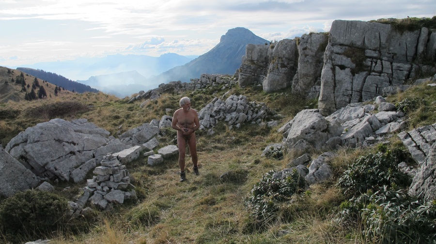
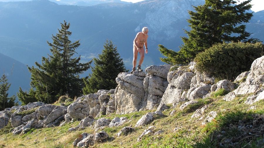
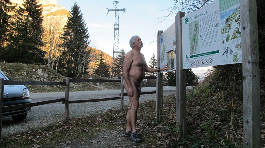
J’ai parcouru un dimanche la zone de silence du désert de Chartreuse, cette région boisée qui entoure le monastère de la Grande Chartreuse. Pour éviter les abords du monastère et de la Correrie toujours très fréquentés, et les itinéraires classiques vers Bovinant et le Grand Som, je suis parti de la route qui relie Saint Pierre à Saint Laurent du Pont. Cela fait partir de plus bas, mais tranquillité absolue même un dimanche. J’ai pu profiter de quatre heures quarante de nudité sur les plus de six heures de la balade.
Toute la montée par des petits sentiers en sous bois, puis par d’anciennes pistes forestières plus ou moins défoncées par le débardage, jusqu’au belvédère d’Arpison, où, là, j’ai retrouvé quelques randonneurs, puis pour finir la redescente jusqu’à la route depuis le habert de Chartroussette.
Promenade aérienne: des Rochers de la Corde, on survole la vallée du Guiers et le pont Saint Bruno quelques centaines de mètres plus bas, du Rocher du Solitaire, on domine la ville de Saint Laurent à l’extrémité du massif, puis on est à son tour enveloppé par les falaises des Rochers de Montheur. Promenade bucolique entre les troncs moussus enchevêtrés des sapins dans la forêt et les prairies d’un vert vif recouvertes d’un tapis de jonquilles jaunes.


One Sunday I walked through the zone of silence of the Chartreuse Desert, the wooded area surrounding the Grande Chartreuse Monastery. In order to avoid the always busy surroundings of the monastery and the Correrie, and the classical routes to Bovinant and the Grand Som, I started from the road that connects Saint Pierre to Saint Laurent du Pont. This makes you start from lower down, but absolute tranquillity even on a Sunday. I was able to enjoy four hours and forty minutes of nudity on the more than six hours of the walk.
All the way up by small paths in the undergrowth, then by old forest tracks more or less broken down by logging, up to the Arpison belvedere, where, there, I met some hikers, then to finish the descent back down to the road from the habert de Chartroussette.
Aerial walk: from the Rochers de la Corde, you fly over the Guiers valley and the Saint Bruno bridge a few hundred meters below, from the Rocher du Solitaire, you overlook the town of Saint Laurent at the end of the massif, then you are in turn enveloped by the cliffs of the Rochers de Montheur. A bucolic walk between the tangled mossy trunks of the fir trees in the forest and the bright green meadows covered with a carpet of yellow daffodils.