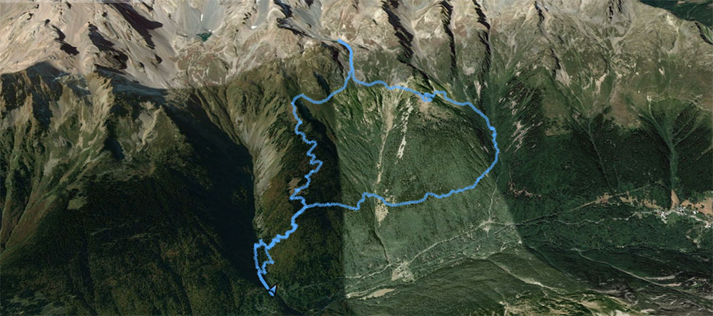
Pas de l’Eyrard

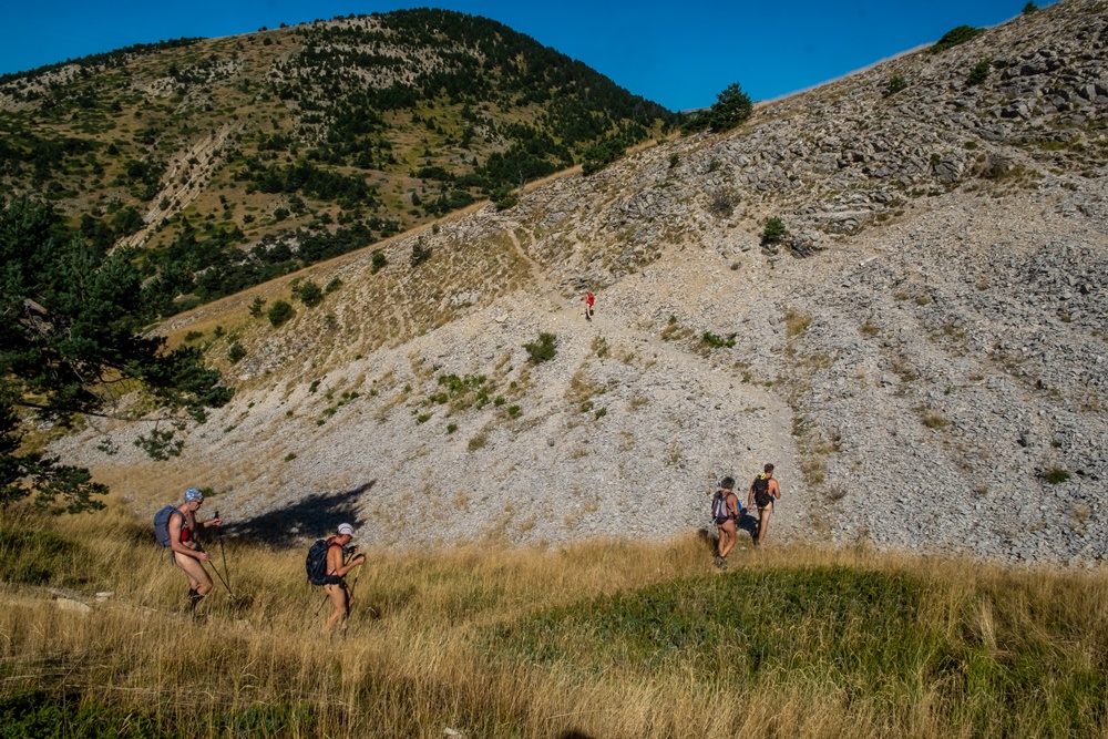
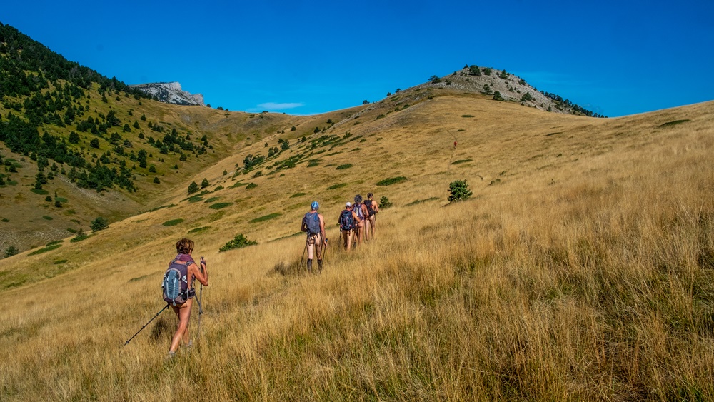
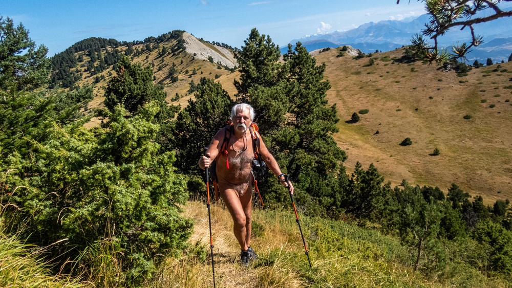
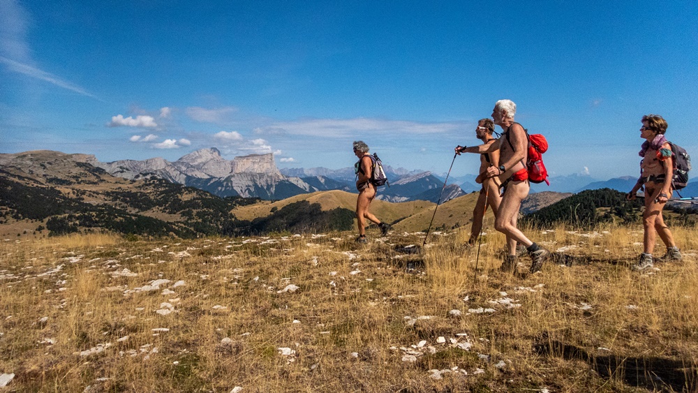
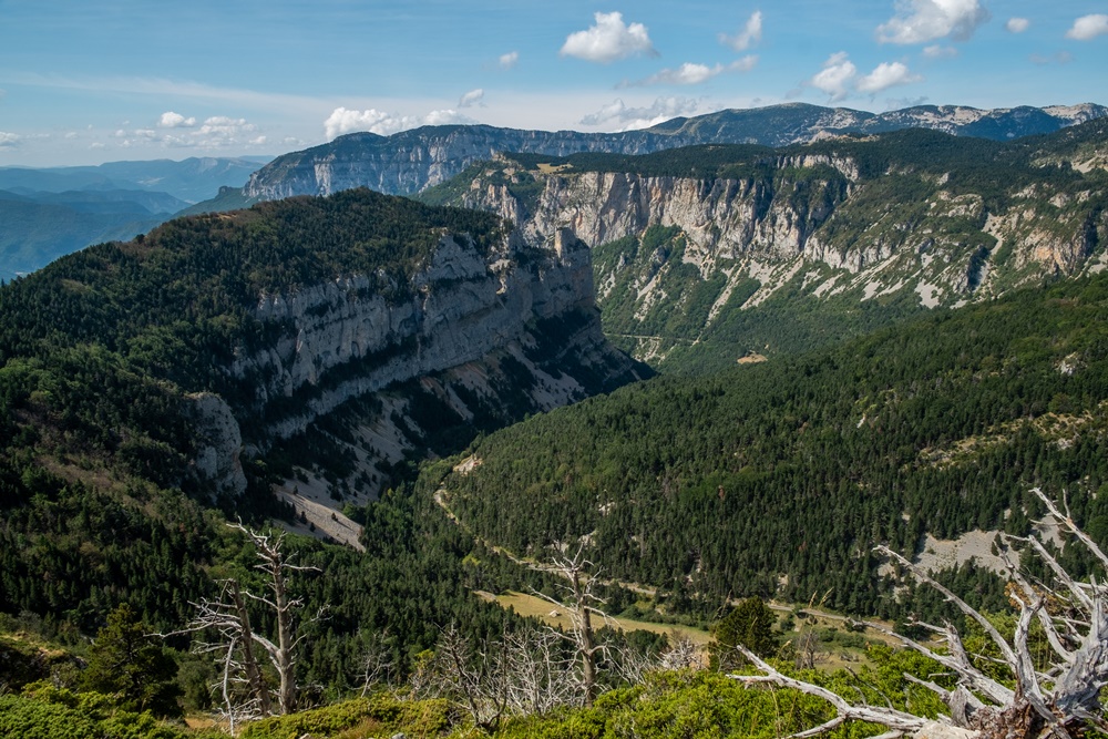
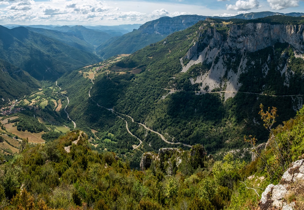
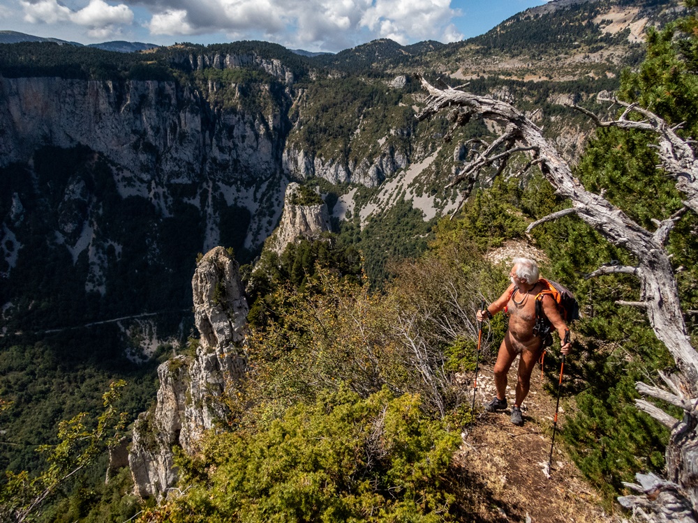
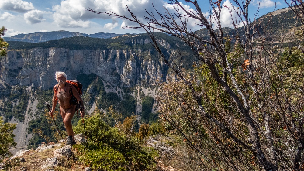
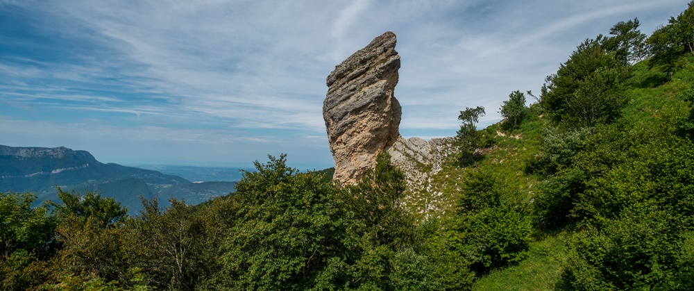
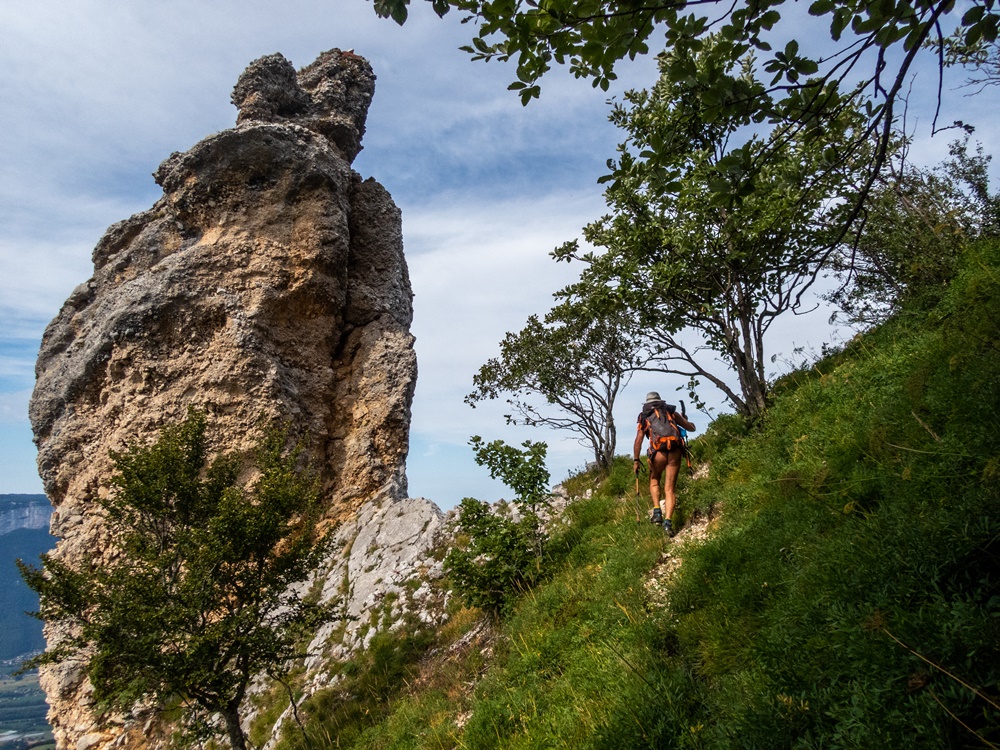
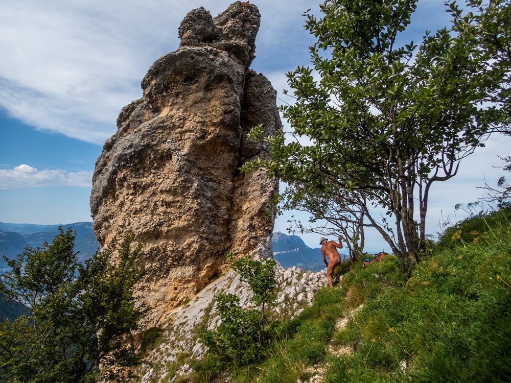
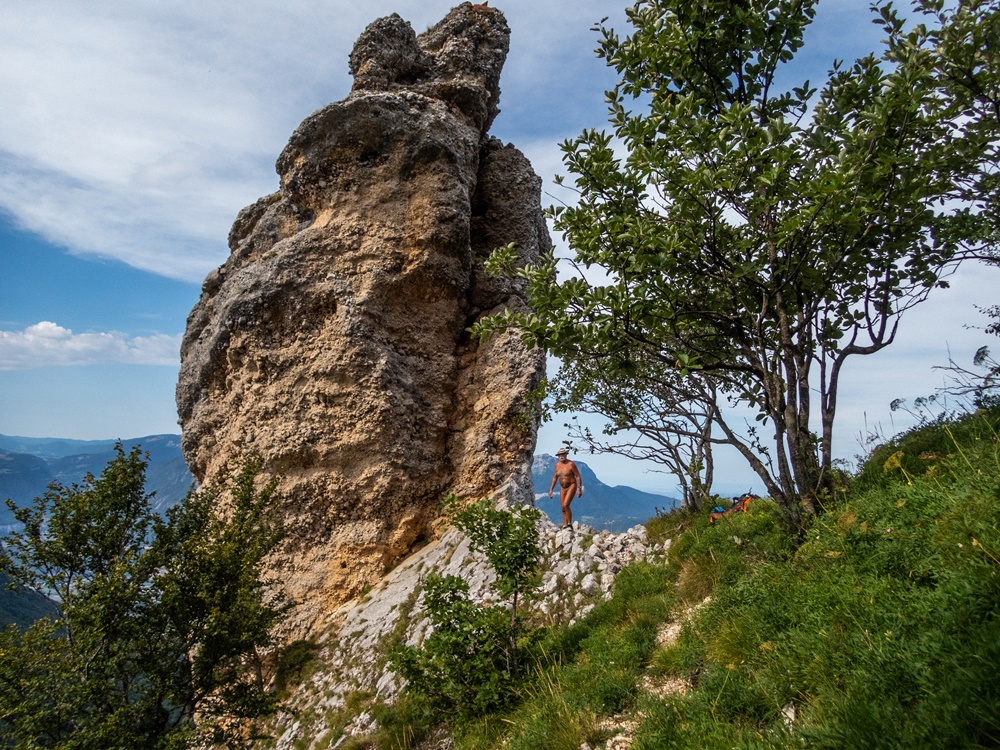
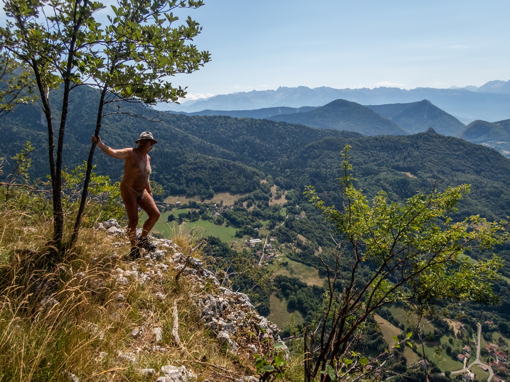
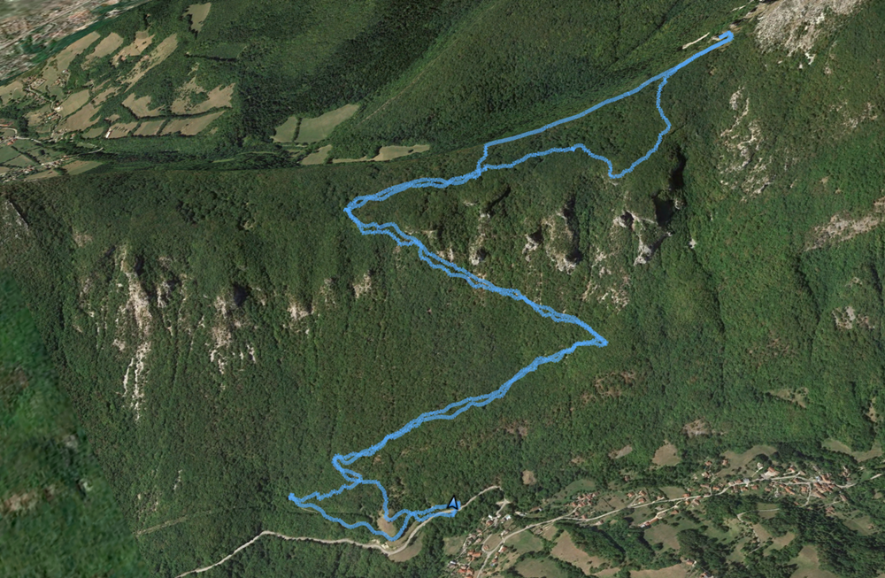
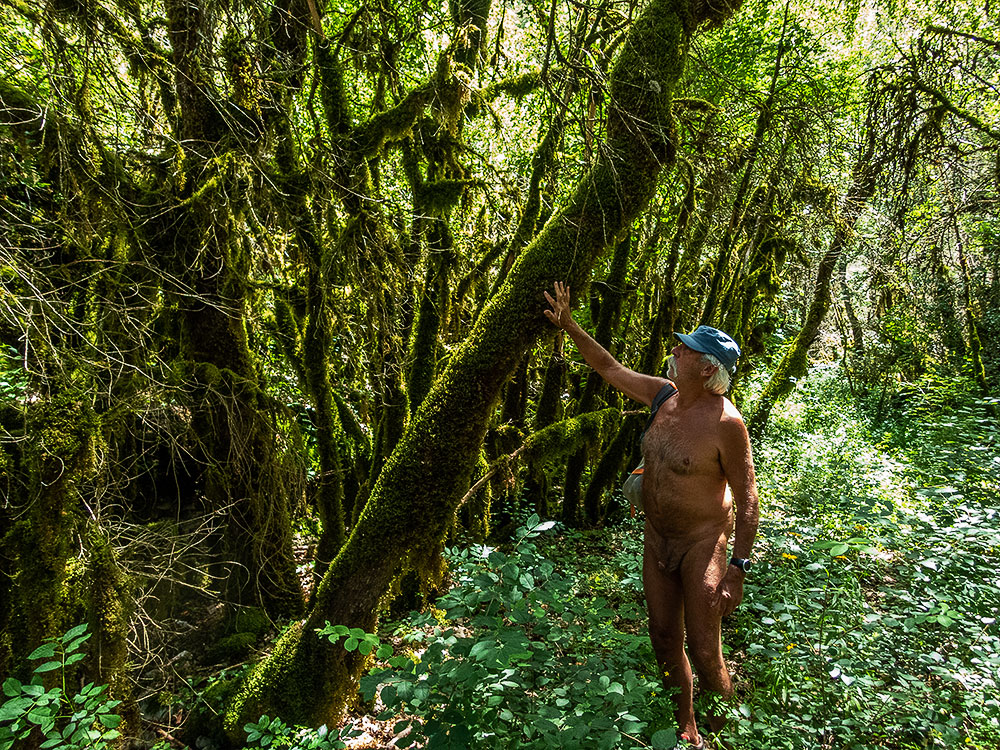
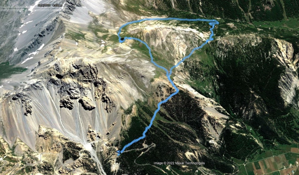
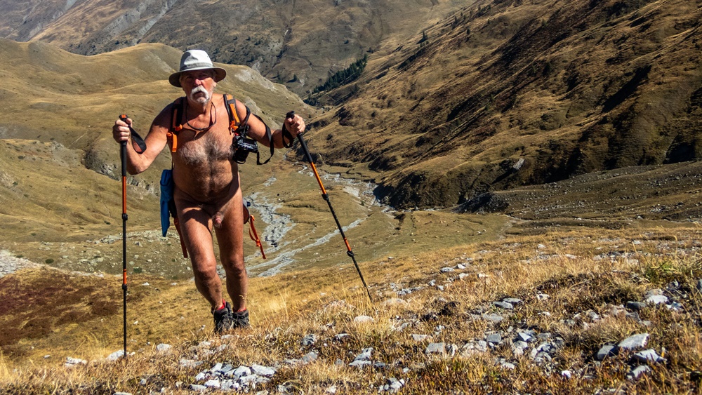
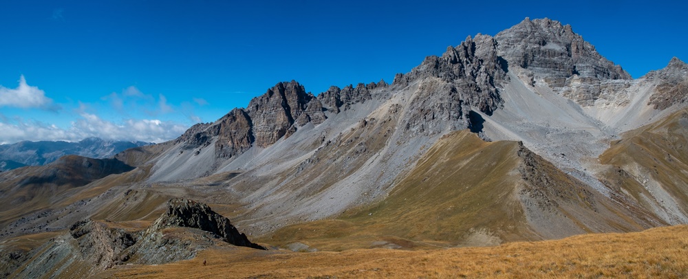
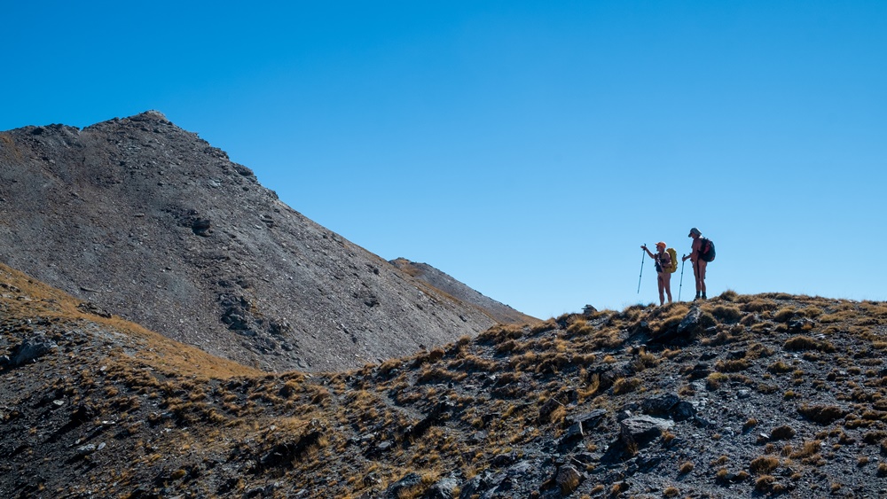
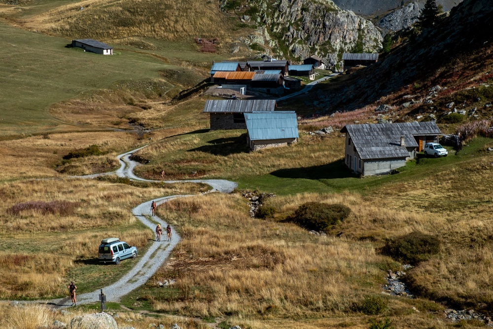
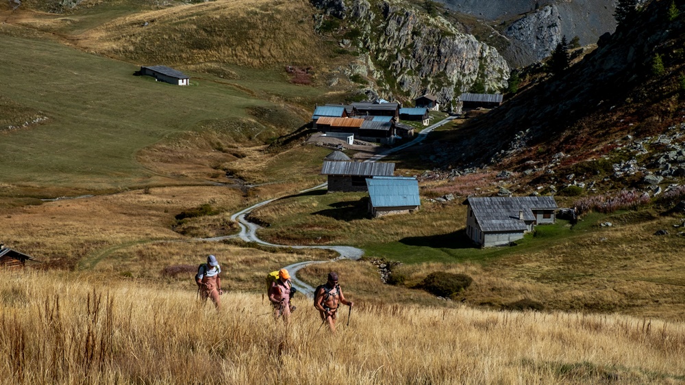
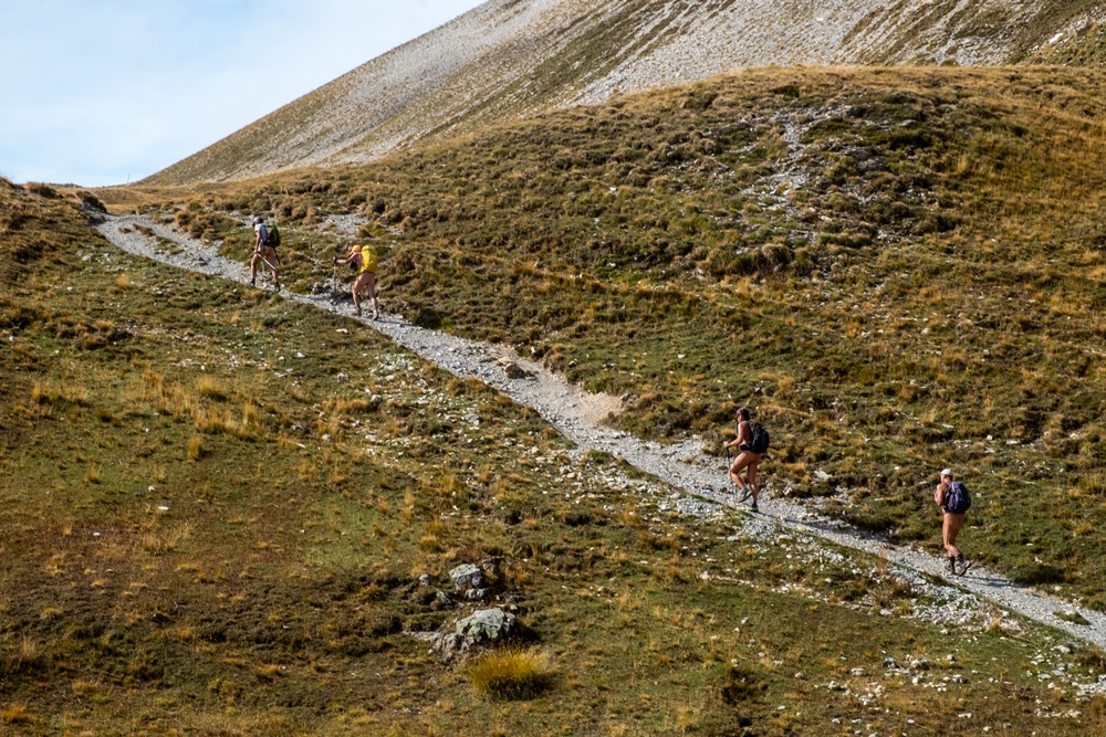
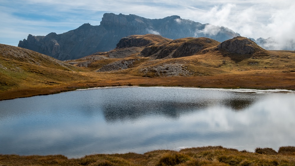
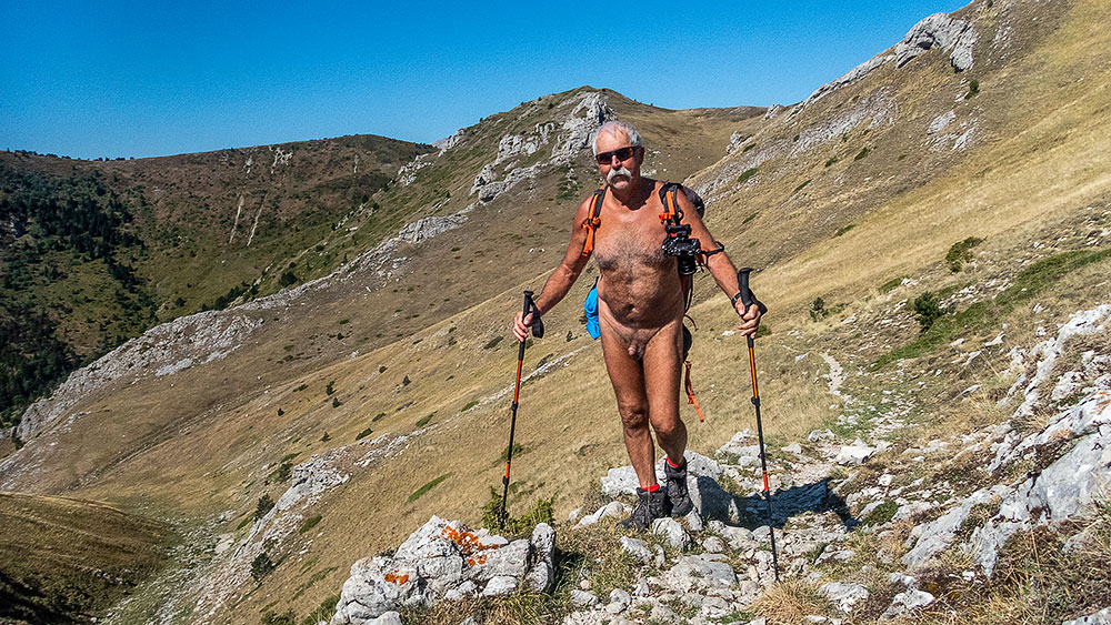
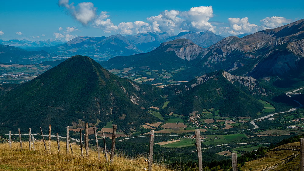
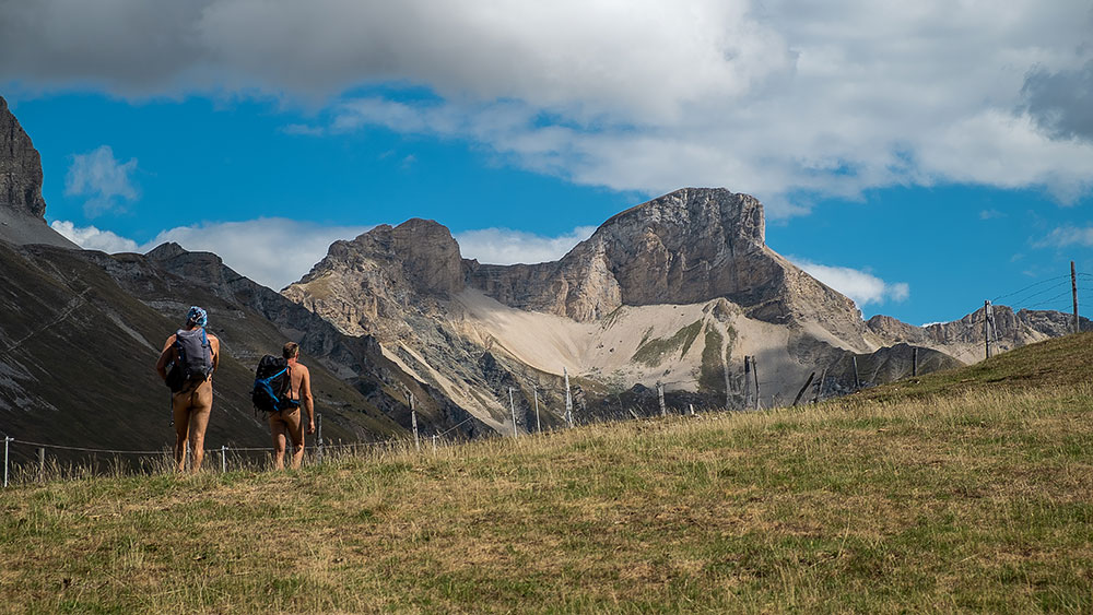
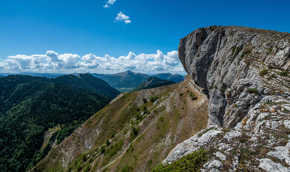
Mardi, en fin de matinée JP m’appelle et me propose une balade au pas de l’Eyrard sur la bordure du Vercors, à quelques kilomètres seulement. Va pour ce Pas que je ne connais pas !

Treize heures quinze, on se gare au bout d’une petite route. Il y a déjà une voiture, zut ! qui ne tarde pas à partir, ouf ! On peut démarrer en toute tranquillité.

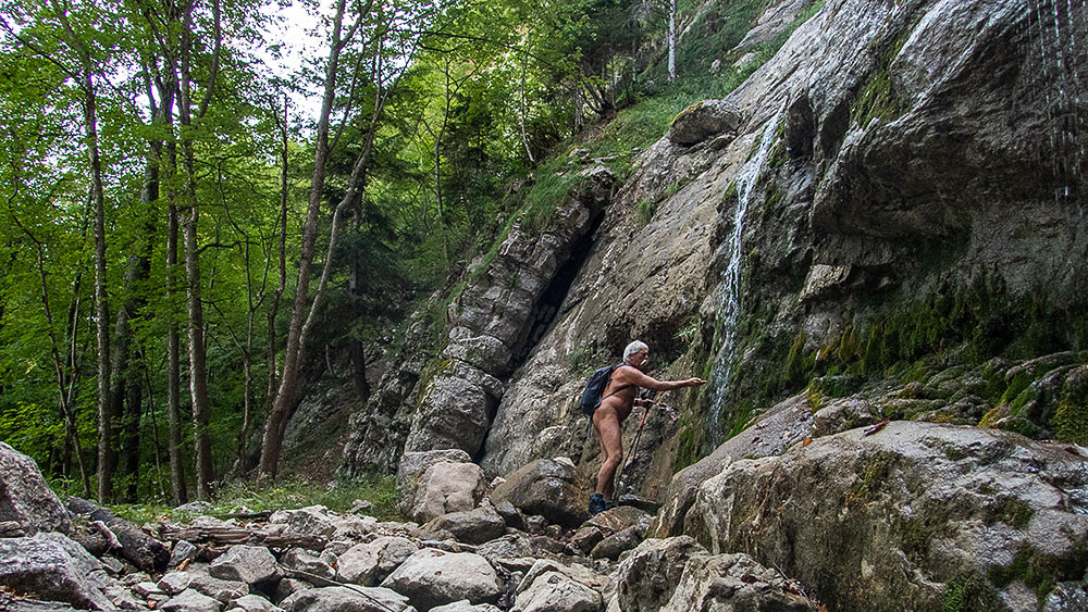
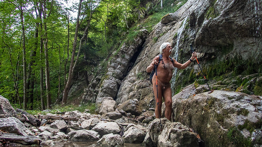
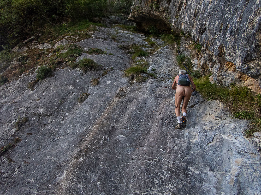
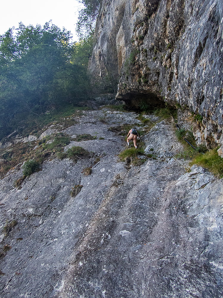
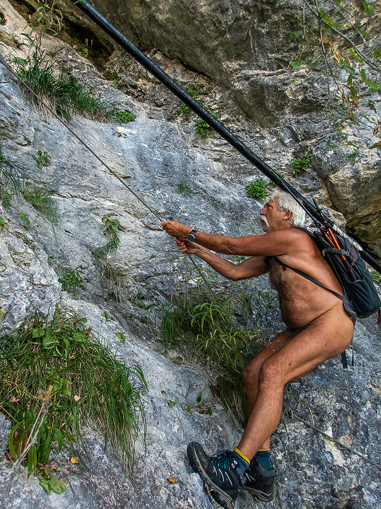
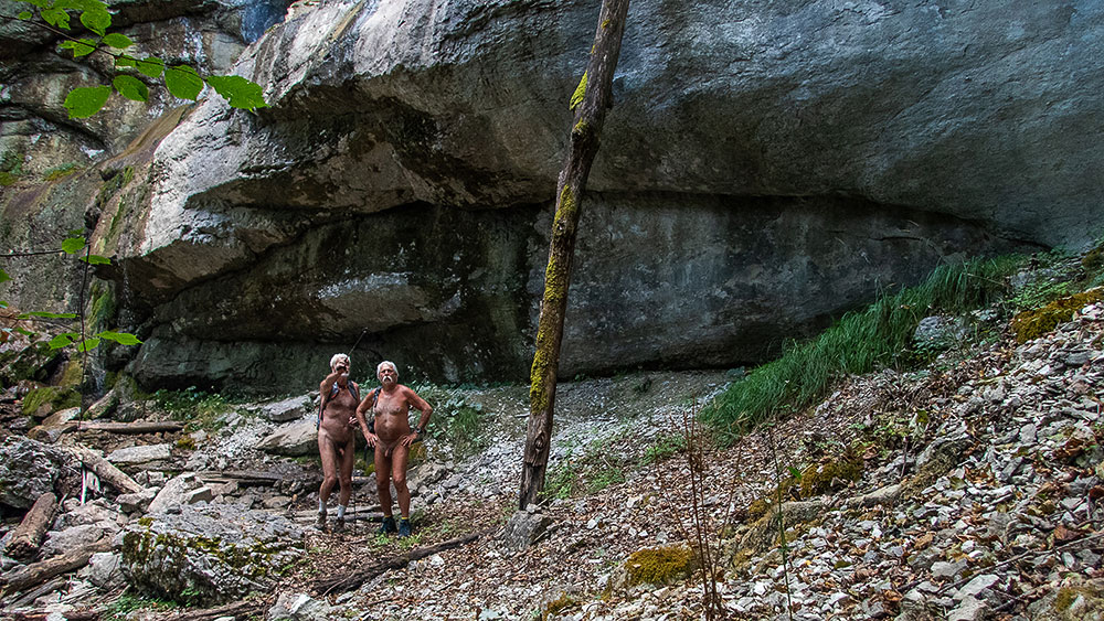
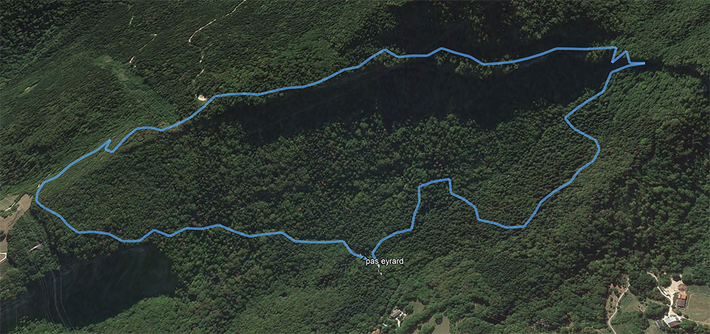
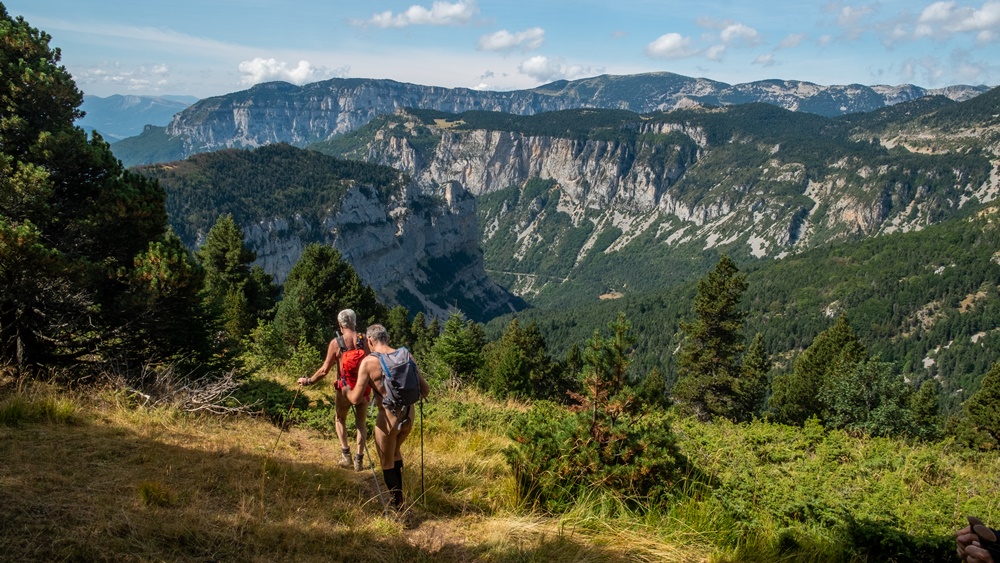
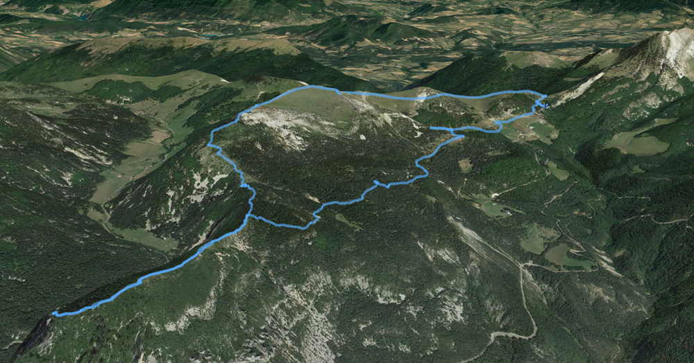
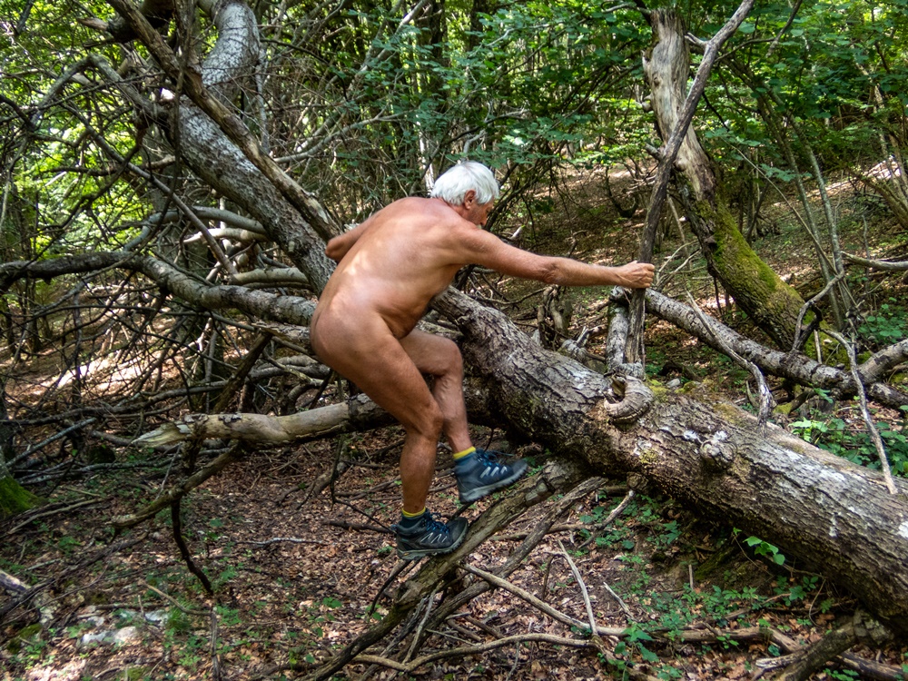
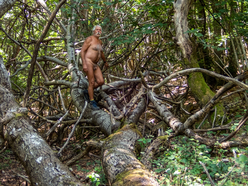
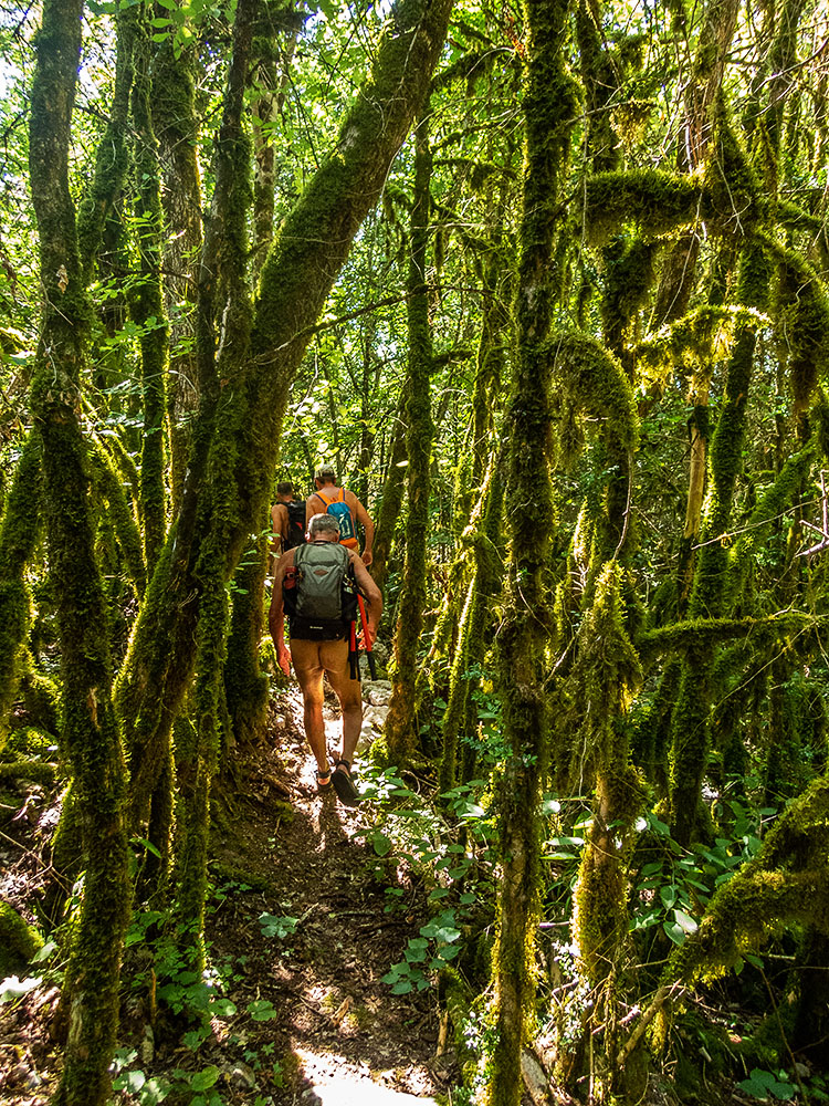
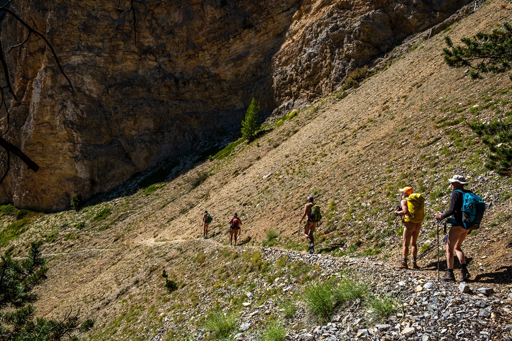
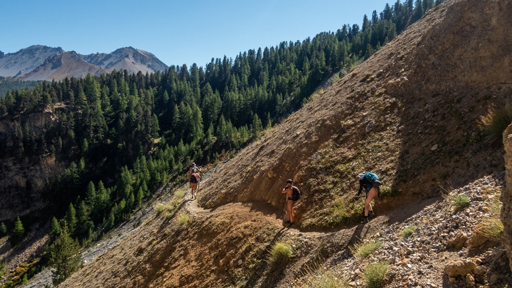
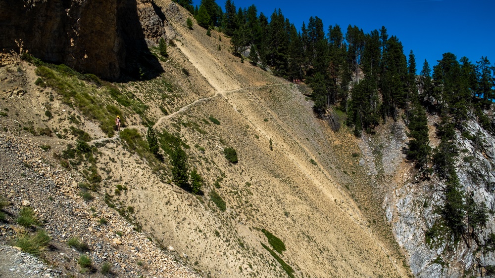
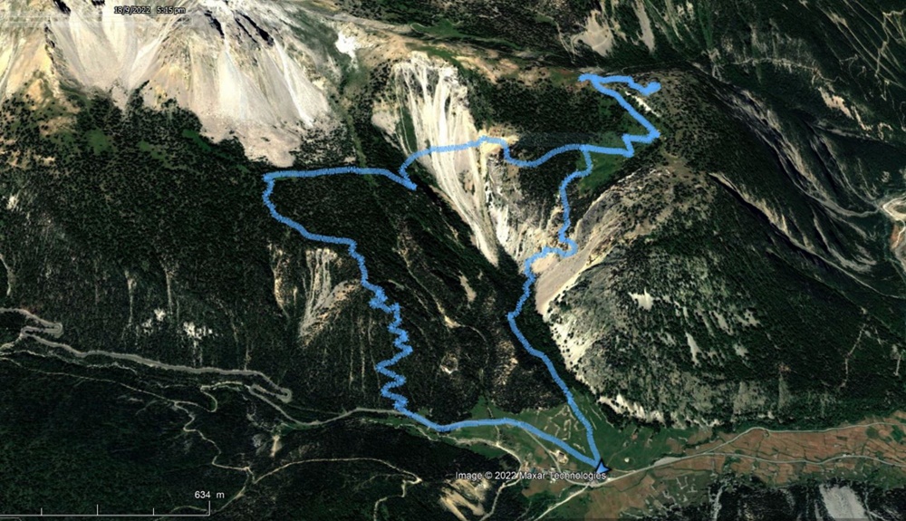
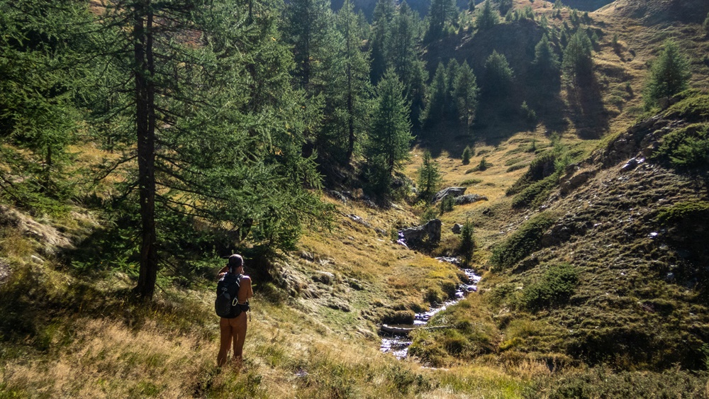
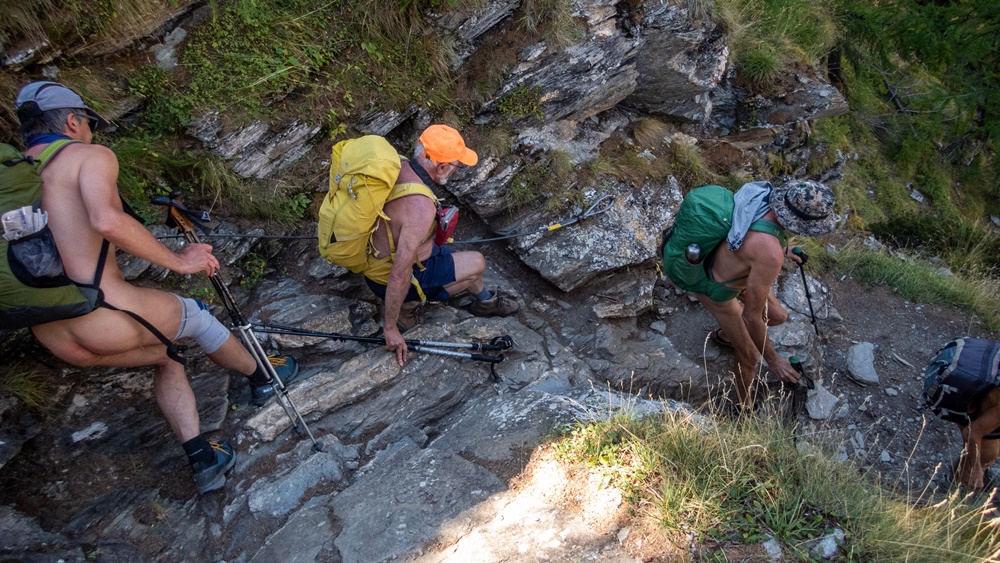
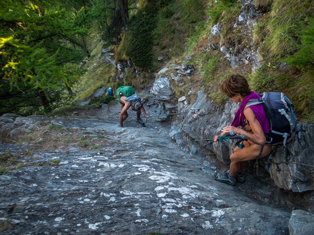
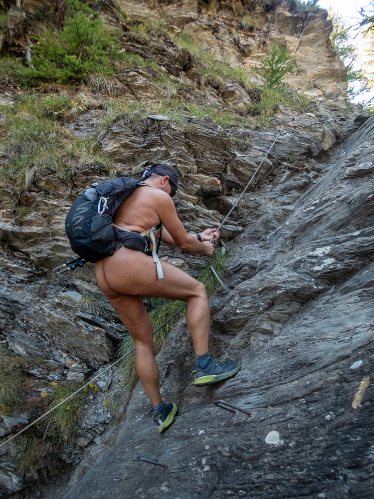
Le chemin est vite encombré de branches et d’orties. « On monte tout droit et on le retrouvera plus haut ! » Bon, on attaque dans la forêt en mode sanglier. Un peu trop à gauche en vérifiant sur le gps. Il faut descendre un ravin, traverser le ruisseau à sec et continuer jusqu’à tomber sur le chemin…qui grimpe aussi bien raide. Un dernier tronçon un peu au jugé et on arrive au pied de la cascade qui ne laisse couler en cette saison qu’un mince filet d’eau. Il faut maintenant trouver le passage dans la falaise. Depuis le bas de la paroi le cheminement paraît bien vertical. Heureusement un câble court le long de cette faille oblique. Mais quand même, sujets au vertige, s’abstenir ! JP passe en premier, je le suis du regard avant de m’engager à mon tour. Des marches ont été creusées dans la roche. Le câble à l’air en bon état et bien accroché. Finalement ça passe sans problème. On sort sur un ouvrage bétonné d’une prise d’eau, c’est surprenant.

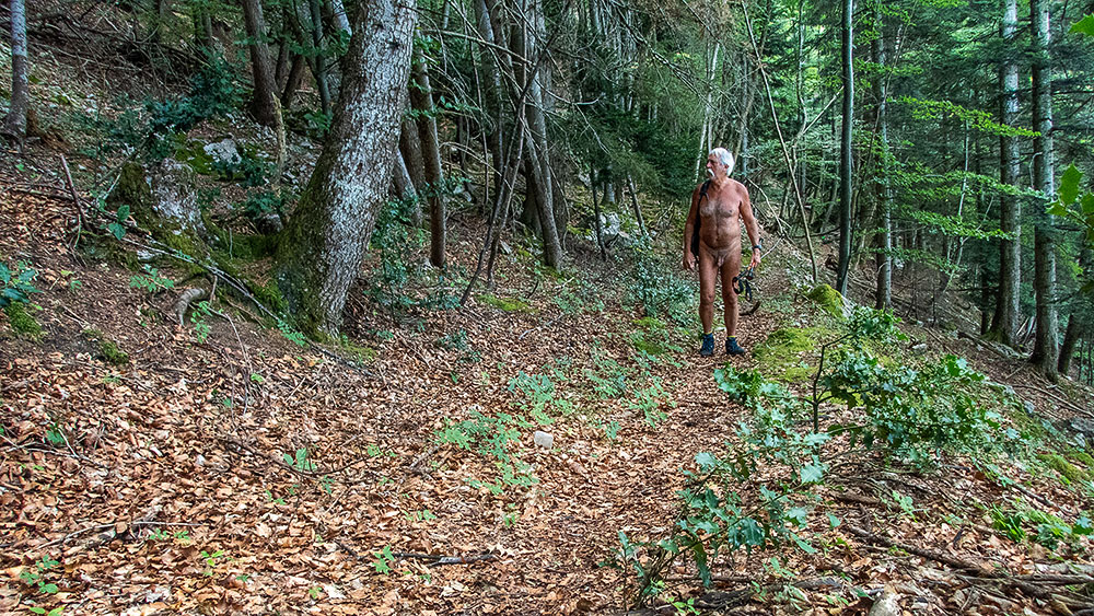
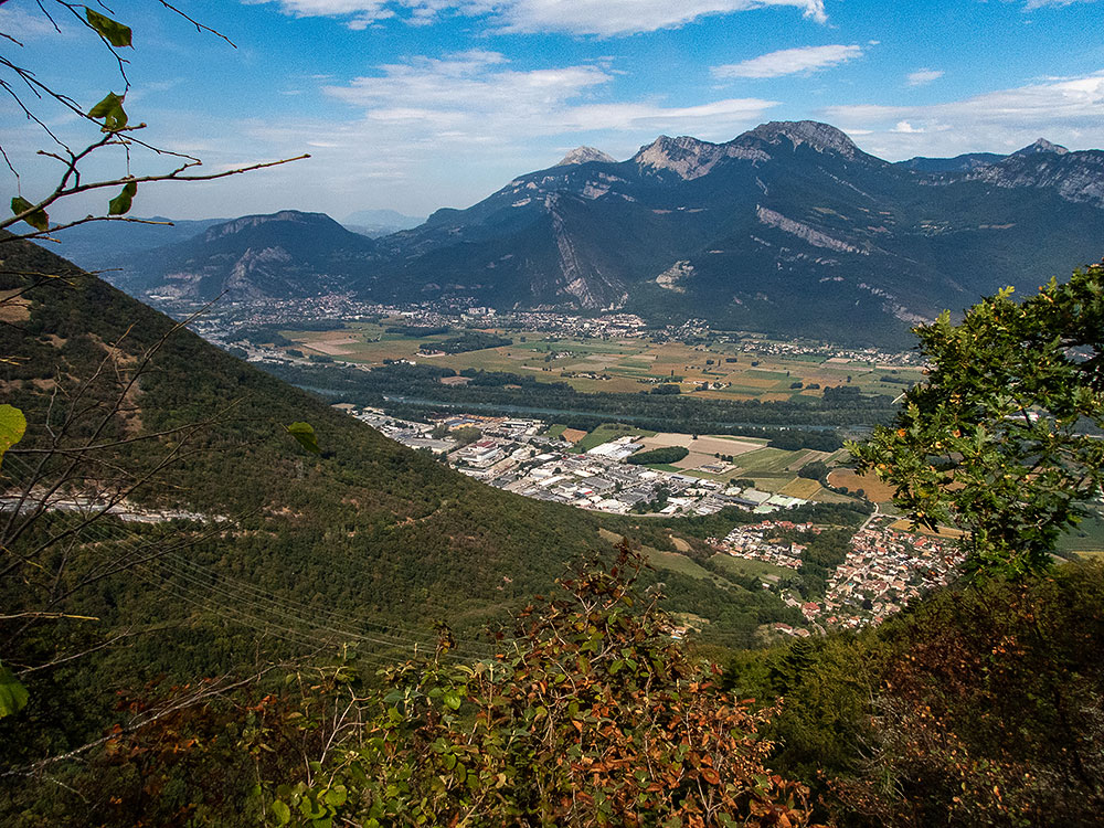
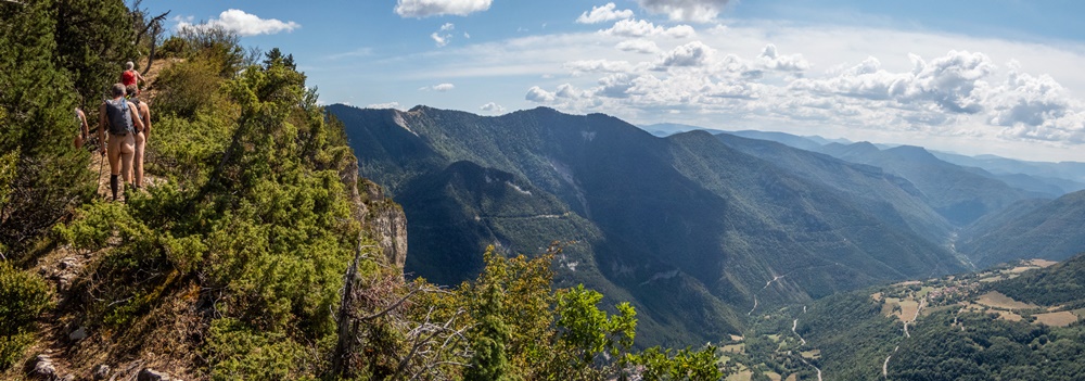
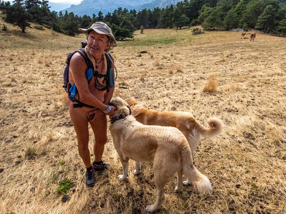
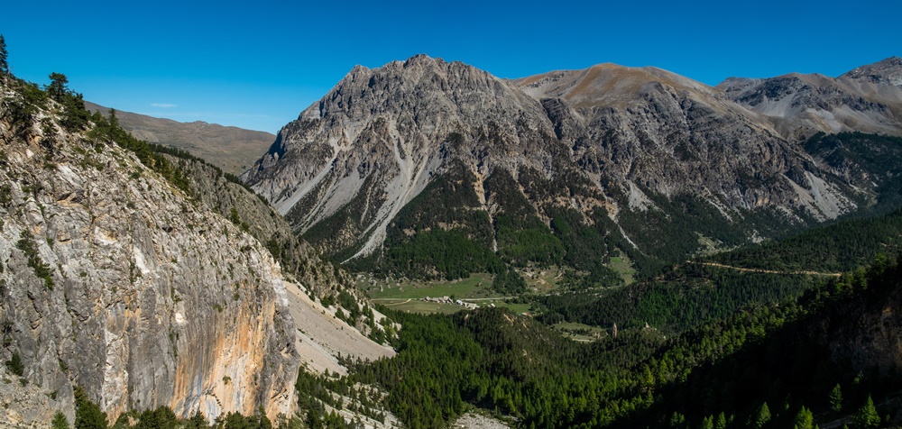
Un agréable chemin en sous bois permet de suivre une large vire entre deux niveaux de falaises, puis on rejoint une piste forestière que l’on quitte immédiatement pour un petit sentier qui plonge dans la forêt et nous ramène à une voie en terre que l’on suit jusqu’au parking. Deux heures et demi seulement de balade mais une belle dépense d’énergie.


Late Tuesday morning, JP calls me and suggests a hike to the Pas de l’Eyrard on the edge of the Vercors, just a few kilometers away. Go for this Pas that I don’t know!
1.15pm, we park at the end of a small road. There’s already a car there – darn! – which soon leaves, phew! We can set off in complete peace of mind.
The path soon becomes cluttered with branches and nettles. « We’ll go straight up and find him higher up! Well, we attack the forest in wild boar mode. A little too far left on the GPS. We have to descend a ravine, cross the dry stream and keep going until we come to the path…which is also a steep climb. The last section is a bit of a guess, and we arrive at the foot of the waterfall, which at this time of year lets out only a thin trickle of water. Now it’s time to find the passage through the cliff. From the bottom of the wall, the path looks quite vertical. Fortunately, a cable runs along this oblique fault. But even so, if you’re afraid of heights, don’t! JP goes first, and I follow him with my eyes before taking my turn. Steps have been dug into the rock. The cable seems to be in good condition and well attached. In the end, it goes through without a hitch. We come out on a concrete water intake, which is surprising.

A pleasant path in the undergrowth follows a wide ledge between two levels of cliffs, then joins a forest track which we leave immediately for a small path which plunges into the forest and brings us back to a dirt track which we follow back to the parking lot. It’s only a two-and-a-half-hour walk, but it’s a good energy burn.

Rochers de Combeau

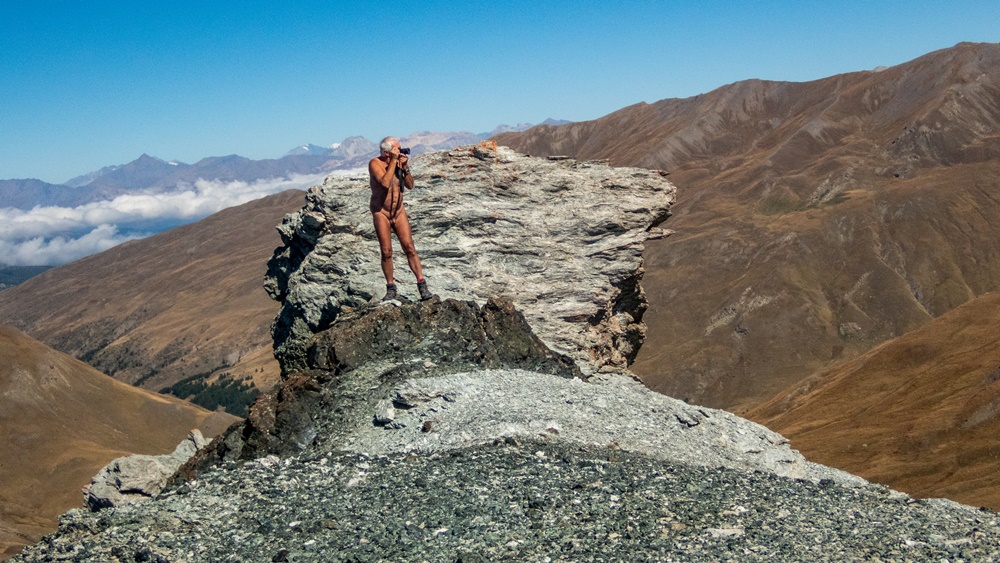
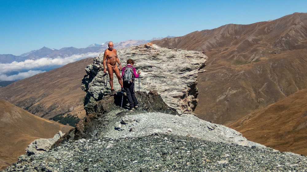
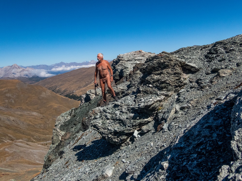
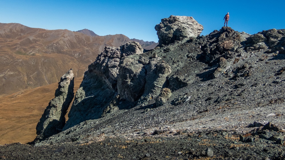
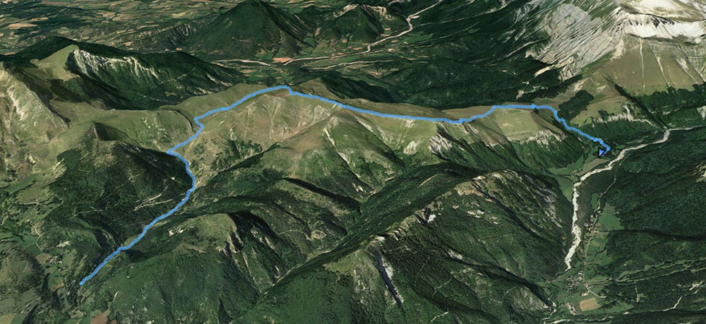
Premier week end de septembre, c’est la fin des vacances estivales ; lundi ce sera la rentrée scolaire ! J’ai donné rendez vous à 9h30 au col de Menée pour une rando soit vers la Tête de Praorzel en suivant les crêtes, balade faites cet hiver en raquettes, soit en direction du Serre de Beaupuy et du col de Côte Chèvre et un retour en boucle par un chemin que je ne connais pas mais qui est marqué sur les cartes.

Yves est déjà là après une nuit sur place dans son camion, Jean Paul et Patricia arrivent aussi de Grenoble, Loîc et Christian de Chatillon et Didier…en moto.

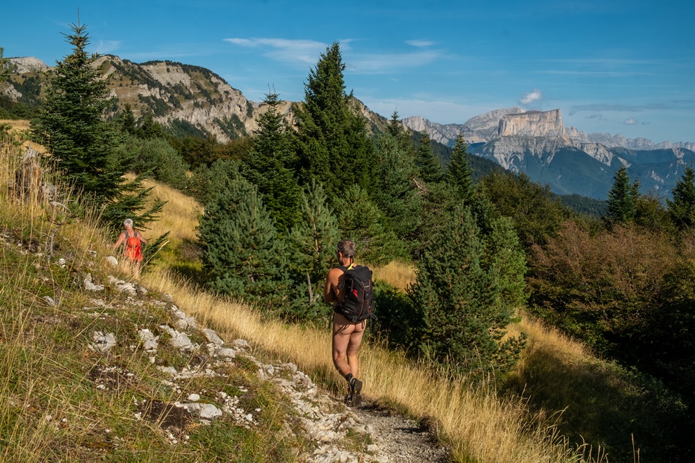
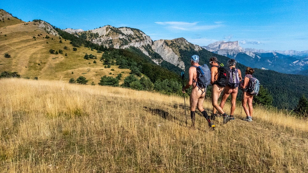
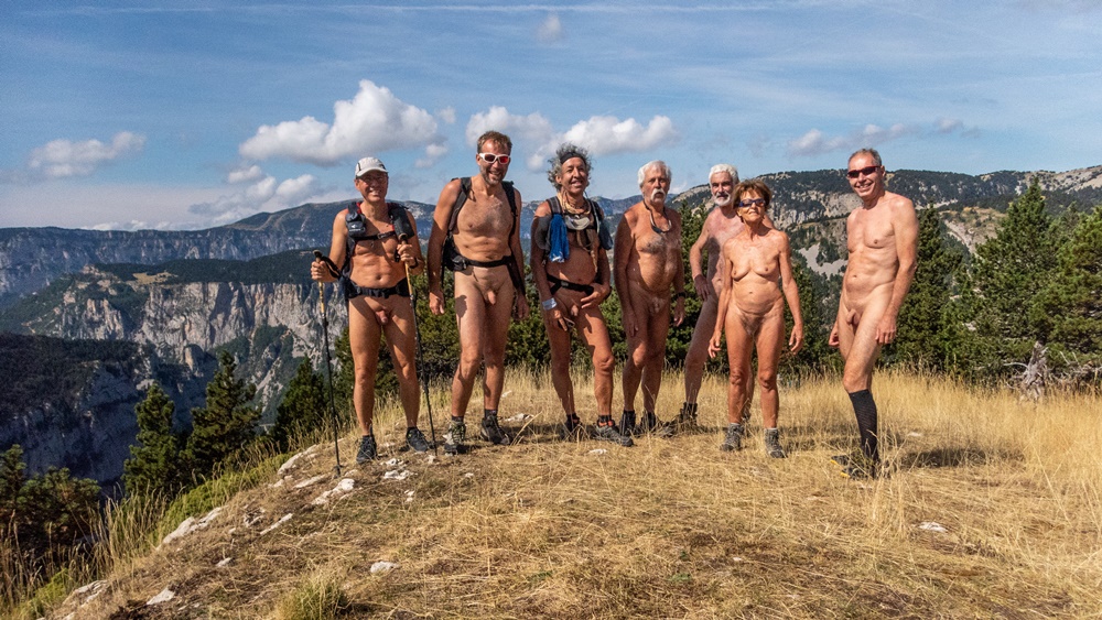
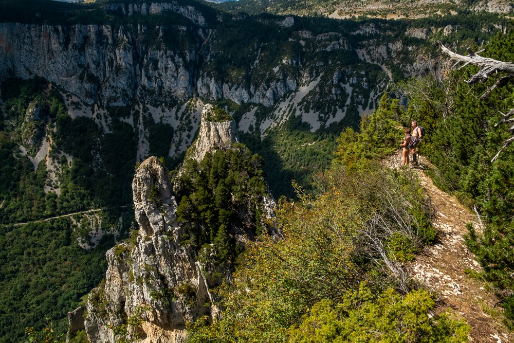
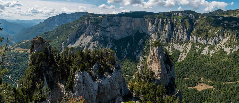
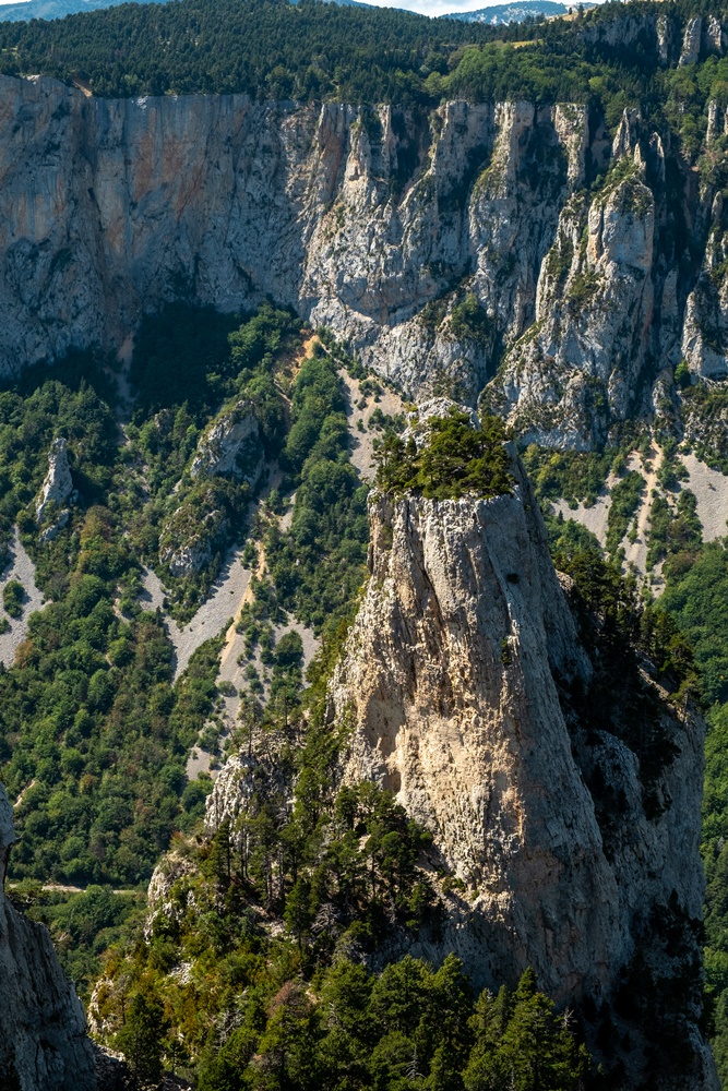
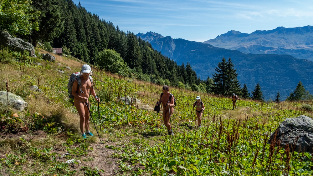
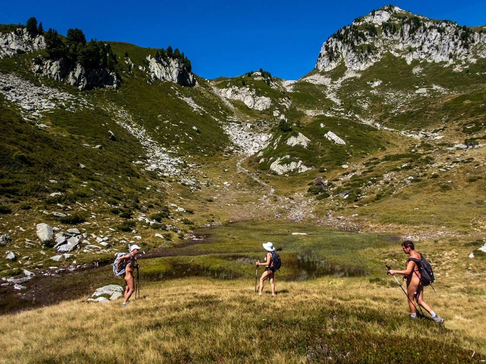
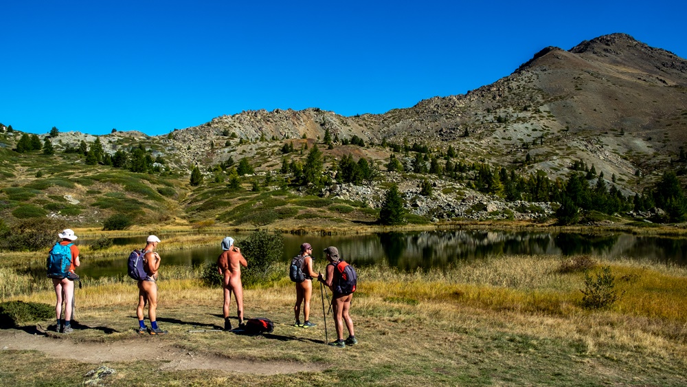
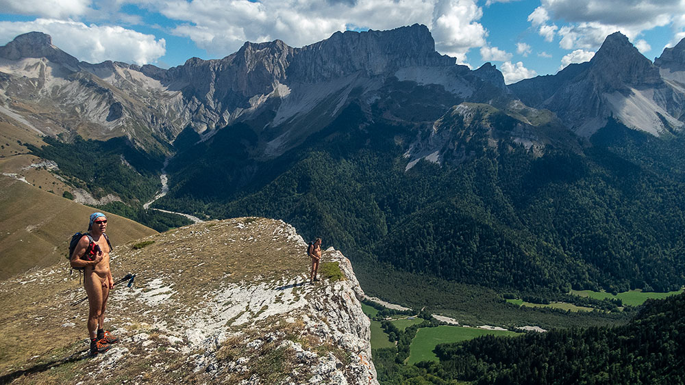
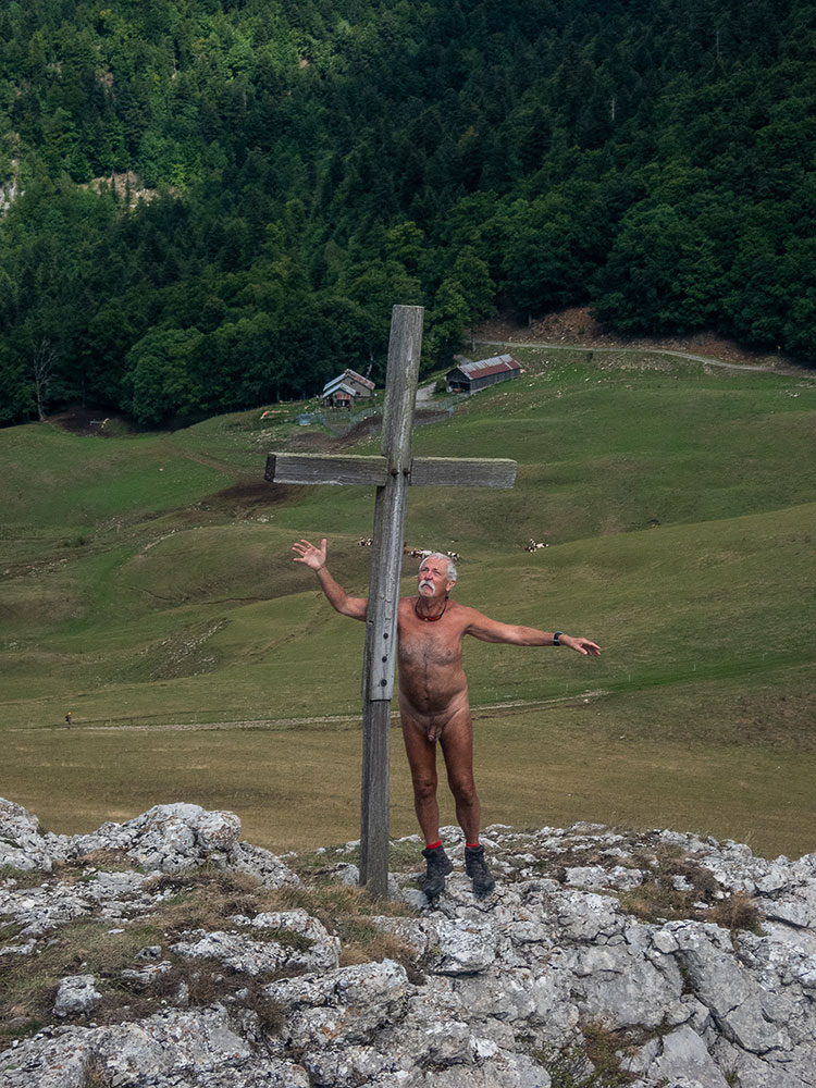
Le sentier commence raide. Au bout de quelques minutes, à la croix au dessus du tunnel, on est tous déjà nus. Dans la lumière matinale la vue s’étend loin sur les sommets de la barrière est du Vercors, le mont Aiguille, le Grand Veymont, la Moucherolles. Le chemin monte dans une végétation d’herbe jaunie lumineuse. Au col de la Lauzette, il faut se décider sur la direction : Va pour le Serre de Beaupuy qui se dresse devant nous, vite grimpé ! Du sommet on domine le vallon de Combeau. On croise un berger,…une bergère, sans se couvrir. On discute un peu, les moutons et donc les patous sont en dessous dans les pentes boisées. On entend leurs sonnailles mais on ne croise pas le troupeau ! Photo de groupe avant d’attaquer la descente sur le col de Côte Chèvre. Pique nique au col. On a encore du temps et on est si bien, pourquoi ne pas continuer jusqu’aux rochers de Combeau. Sentier en forêt puis le long de la crête de plus en plus étroite. On arrive au dessus des tours rocheuses emblématiques du site. Au bout, impossible d’aller plus loin, après c’est le vide de tous les côtés. Demi tour avec maintenant les monts Barral et Belle Motte en ligne de mire. On rejoint la forêt. A partir de là on se guide à l’aide du gps pour suivre le cheminement qui va nous ramener vers le col de Menée, en passant à proximité du parc des moutons, encore vide à cet heure là, gardé par deux patous qui s’approchent gentiment , ils ne sont pas encore au boulot ; puis un peu plus loin en dominant la route départementale. Habillement juste avant d’arriver au col, après sept heures de nudité. Le parking est rempli d’une dizaine de voitures de collection et de leurs passagers bruyants mais sympathiques qui nous offrent les parts de gâteaux qui leur restent.


The first weekend of September marks the end of the summer vacations, and Monday marks the start of the new school year! I’ve arranged to meet at 9:30 am at the Col de Menée for a hike either towards the Tête de Praorzel following the ridges, a walk we did this winter on snowshoes, or towards the Serre de Beaupuy and the Col de Côte Chèvre and a return loop along a path I don’t know but which is marked on the maps.

Yves is already here after spending the night in his truck, Jean Paul and Patricia are also arriving from Grenoble, Loîc and Christian from Chatillon and Didier…on his motorcycle.

The trail starts steeply. After a few minutes, at the cross above the tunnel, we’re all already naked. In the morning light, the view stretches far out over the summits of the eastern barrier of the Vercors, Mont Aiguille, Grand Veymont and Moucherolles. The path climbs through luminous, yellowing grass. At the Col de la Lauzette, it’s time to decide which direction to take: go for the Serre de Beaupuy, which rises up in front of us, and climb it quickly! From the summit, we overlook the Combeau valley. We come across a shepherd,…a shepherdess, without covering up. We chat a little, the sheep and therefore the patous are below us on the wooded slopes. We hear their bells, but we don’t come across the herd! Group photo before the descent to the Côte Chèvre pass. Picnic at the pass. We’ve still got time and we’re doing so well, why not continue to the Combeau rocks. Follow the path through the forest and then along the increasingly narrow ridge. We arrive above the site’s emblematic rock towers. At the end, it’s impossible to go any further, after which there’s emptiness on all sides. Half-turn, with Monts Barral and Belle Motte in your sights. We reach the forest. From here, we use the GPS to guide us along the path that will take us back to the Col de Menée, passing close to the sheep park, still empty at this time of day, guarded by two patous who approach us gently, they’re not at work yet; then a little further on, overlooking the main road. Dressing just before arriving at the pass, after seven hours of nudity. The parking lot is packed with a dozen classic cars and their noisy but friendly passengers, who offer us their remaining slices of cake.

Oeillon

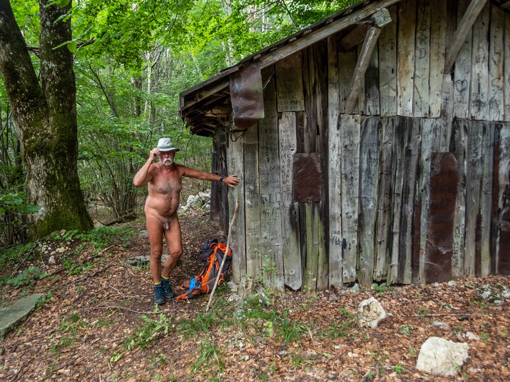
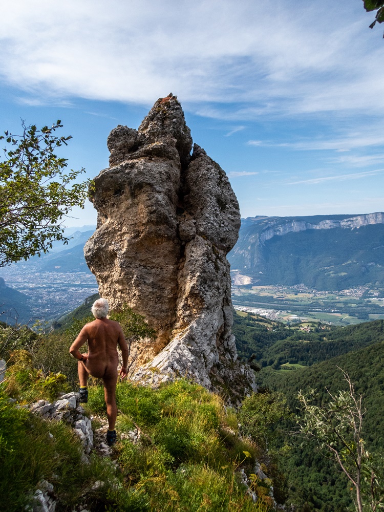
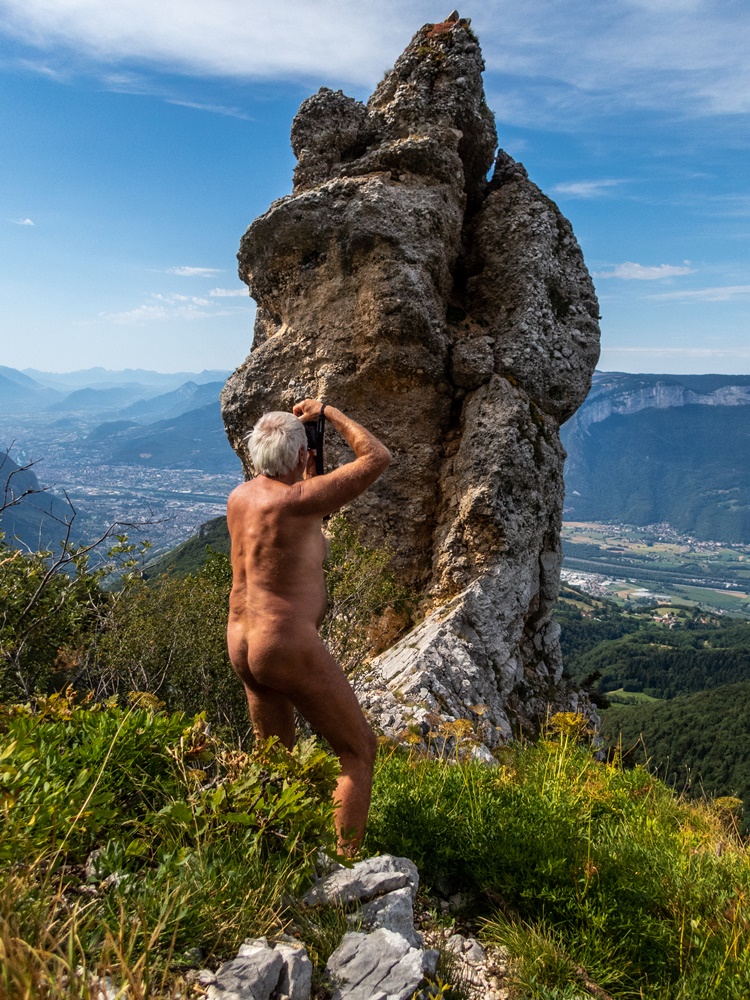
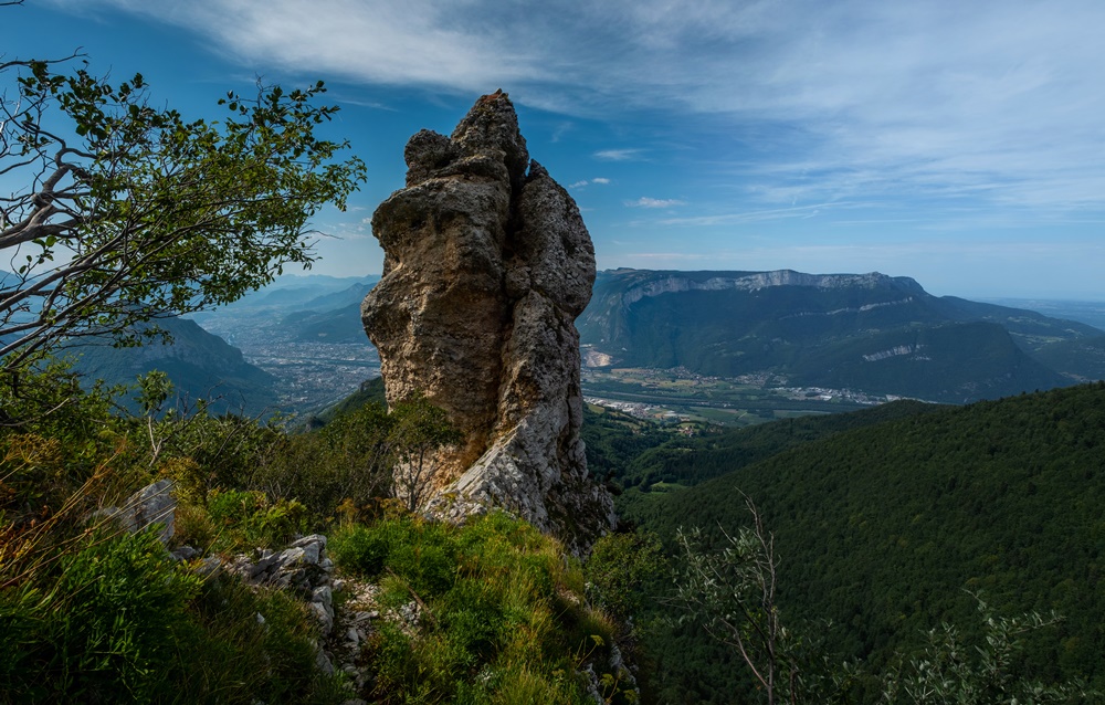
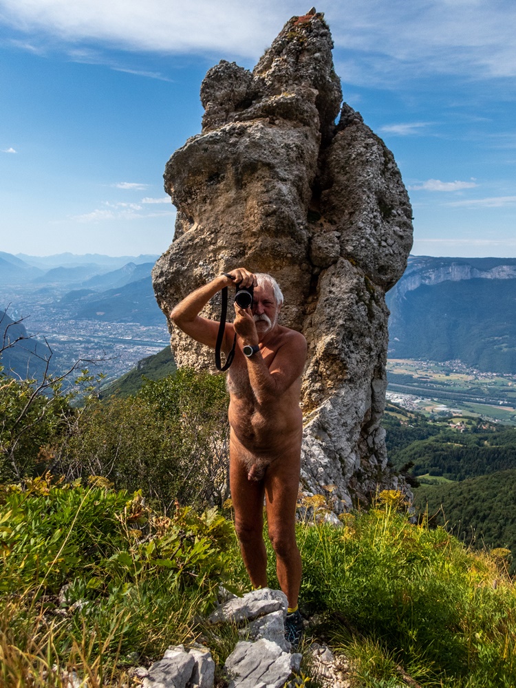
Je me suis levé tôt. Après le petit déjeuner je décide de partir en balade ; il ne fait pas encore trop chaud en cette période caniculaire. Je me gare au bord de la route en face du chemin. Dix minutes de mise en jambe habillé sur la première section presque plate. Au premier virage avant d’attaquer la grimpette je me déshabille. Je n’ai guère randonné cet été, je pense mettre entre une bonne heure à une heure et demi pour atteindre le plateau par cette piste caillouteuse ingrate que je connais bien. Finalement j’ai encore la forme puisqu’en moins d’une heure j’arrive à la cabane du petit Sappey. Je continue dans la forêt, rejoins et suis la crête jusqu’au monolithe de l’Oeillon. Une heure cinquante depuis la route ! Je me pose un moment. J’entends les cloches du village de Mont Saint Martin tout au loin et des brides de musique ; il doit y avoir une fête au village en ce jour férié du 15 août. Je descend en coupant droit dans les bois jusqu’à arriver au bord du plateau juste au dessus du hameau du Gua. Retour à la cabane et redescente par la piste. Je ne me recouvre d’une jupette, un vieux short découpé, qu’à trois mètres de la route pour rejoindre la voiture. Après ces cinq heures de nudité dans la nature, je n’ai guère envie de me rhabillé vraiment.


I got up early. After breakfast I decide to go for a walk; it’s not yet too hot in this canicular period. I park at the side of the road opposite the path. Ten minutes of warm-up on the first almost flat section. At the first bend before starting the climb, I strip off my clothes. I haven’t done much hiking this summer, so I reckon it’ll take me a good hour to an hour and a half to reach the plateau on this ungrateful stony track I know so well. In the end, I’m still in good shape, as in less than an hour I reach the Petit Sappey hut. I continue through the forest, reach and follow the ridge to the Oeillon monolith. An hour and a fifty minutes from the road! I rest for a while. I can hear the bells of the village of Mont Saint Martin in the distance, and a faint sound of music; there must be a village festivity on this August 15th holiday. I go downhill, cutting straight through the woods until I reach the edge of the plateau just above the hamlet of Le Gua. Back to the hut and down the track. I don’t cover myself with a skirt, an old pair of cut-off shorts, until I’m three meters from the road to reach the car. After five hours naked in the wilderness, I don’t really feel like getting dressed again.

Myrtilles à Arpingon

Alain a proposé une sortie cueillette de myrtilles du côté savoyard du massif de Belledonne. Ce n’est pas tout près mais que ne ferait on pas pour des myrtilles !

Rendez vous à Aiguebelle pour poursuivre avec deux voitures. On est cinq : quatre hommes et une femme. On passe le village de Saint Rémy et on attaque la montée par une route forestière étroite. Soudain un arbre barre la route sur plus de la moitié de la largeur. En passant sur le bas côté Alain passe avec sa voiture 4×4. Je reste bloqué derrière l’obstacle. On s’entasse tous les cinq avec les sacs dans son véhicule et on continue. Après le goudron, la piste de terre jusqu’à finalement atteindre un parking au départ du sentier.

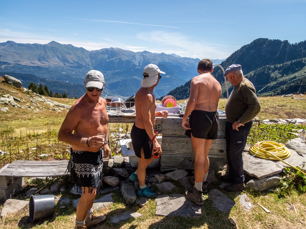
Tout de suite ça monde raide dans la forêt, heureusement avec un peu d’ombre. On est en période de canicule ! On décide de monter d’abord jusqu’à la bergerie d’Arpingon et de ne commencer la cueillette qu’en descendant. Aux abord de la bergerie on se rhabille très sommairement. On va voir un petit bout de lac un peu plus loin et on revient. Le berger nous hèle : « Vous savez régler une télévision ? » Alain et Dominique veulent bien essayer. Dehors on discute avec lui. Il a 78 ans et vit là seul plusieurs moi avec moutons, chiens (il y en a six aux alentours, les autres, les patous, sont avec les moutons plus haut), chevaux et ânes… et loups (trois meutes dans les environs). Il rentre voir ce qui se passe à l’intérieur. « Bon dieu, il y a des images ! » La télé est réglée. Voilà qui mérite récompense. On ne pourra pas repartir sans deux tournées de pastis bien tassé !

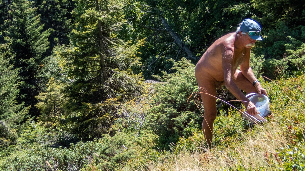
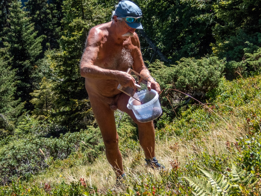
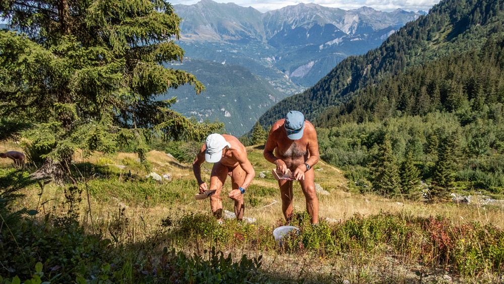
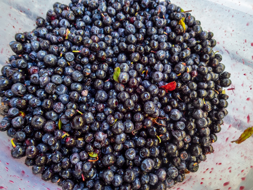
Après le pique nique un peu plus bas, on entame la cueillette en s’étalant le long du chemin, en descendant doucement le long des touffes de myrtilliers. On est en plein soleil et ça chauffe. De temps à autre une halte à l’ombre fait du bien. J’étrenne un peigne neuf acheté pour l’occasion. Les doigts se colorent en mauve. Ce n’est pas une grosse récolte, c’est encore tôt dans la saison, mais ça fera tout de même quelques tartes ou de la confiture.


Alain proposed a blueberry-picking trip on the savoy side of the Belledonne massif. It’s not very close, but what we wouldn’t do for blueberries!

Rendezvous at Aiguebelle to continue with two cars. We’re five: four men and one woman. We pass the village of Saint Rémy and start the climb up a narrow forest road. Suddenly, a tree blocks more than half the road’s width. Passing on the side of the road, Alain drives by in his 4×4 car. I get stuck behind the obstacle. The five of us loaded our bags into his vehicle and continued on. After the tarmac, the dirt track until we finally reach a parking lot at the trailhead.

Right away, it’s a steep climb through the forest, fortunately with some shade. We’re in the middle of a heatwave! We decide to climb up to the Arpingon sheepfold first, and only start picking on the way down. As we approach the sheepfold, we put on our skimpy clothes. We check out a small lake a little further on and come back. The shepherd hails us: « Do you know how to set up a television? Alain and Dominique give it a try. Outside, we chat with him. He’s 78 years old and lives here alone with me, sheep, dogs (there are six in the area, the others, the patous, are with the sheep further up), horses and donkeys… and wolves (three packs in the vicinity). He goes inside to see what’s going on.  » My goodness, there are pictures! » The TV is set. Now that’s reward enough. We won’t be able to leave without two rounds of pastis!

After a picnic a little lower down, we start picking, spreading out along the path, gently descending along the clumps of bilberry bushes. We’re in full sunshine and it’s hot. From time to time, a stop in the shade does us good. I try out a new comb I’d bought for the occasion. My fingers are turning purple. It’s not a big harvest, it’s still early in the season, but it’ll certainly make a few pies or jam.

Ruisseau d’Aurel

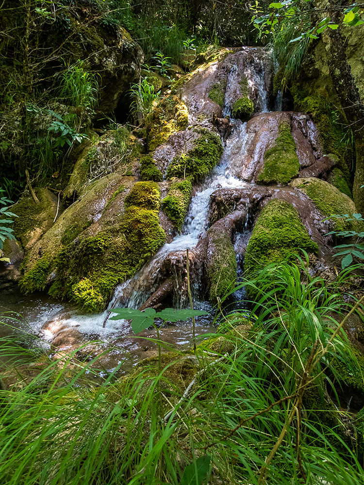
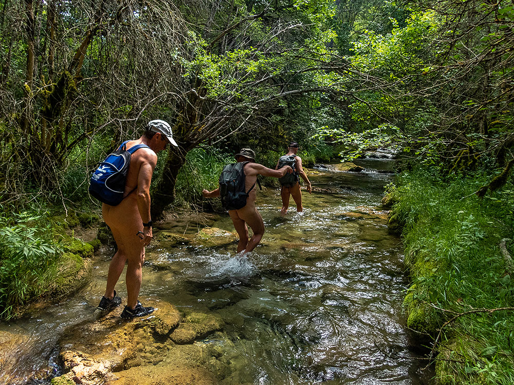
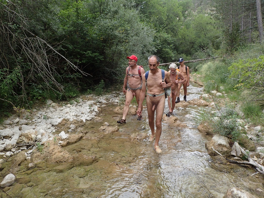
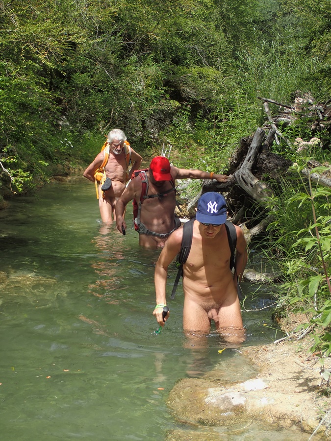
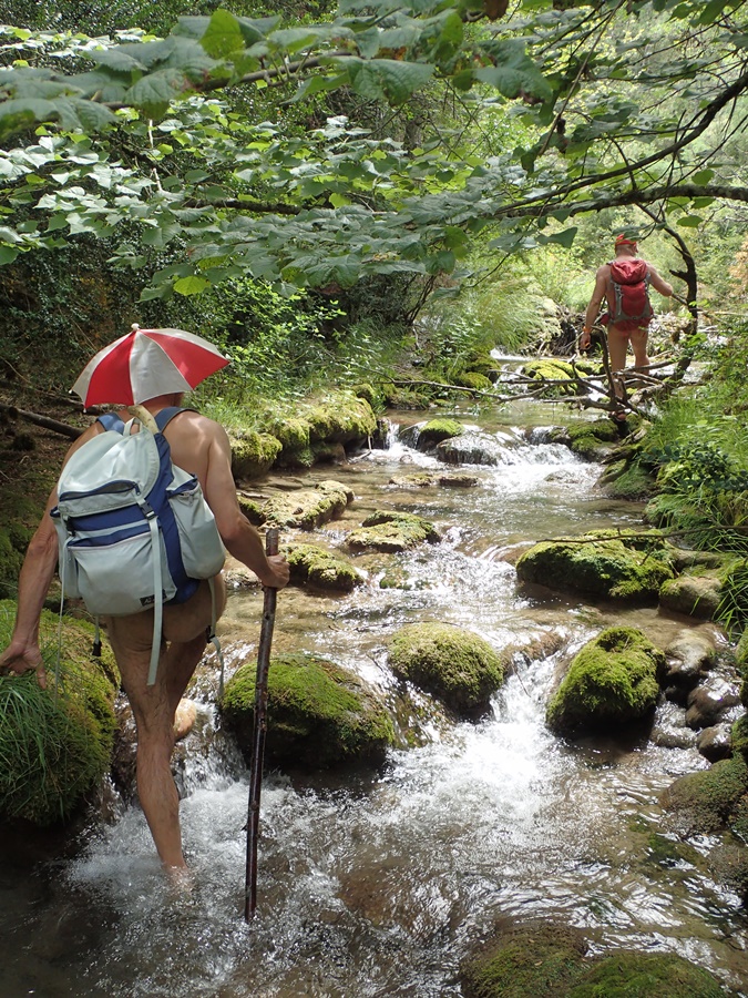
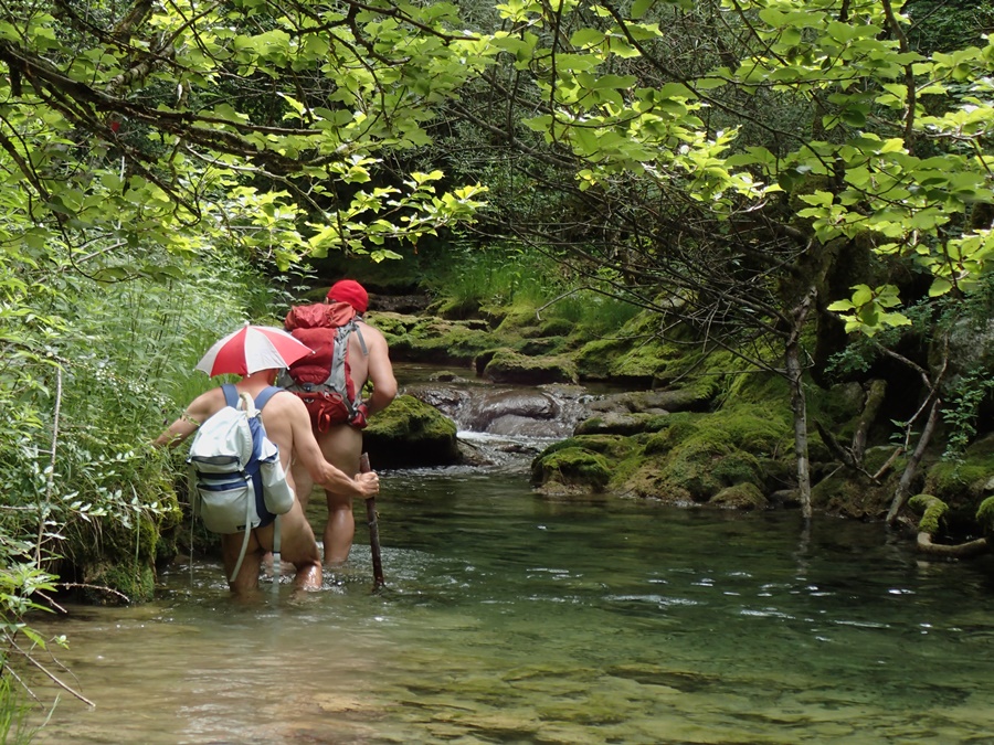
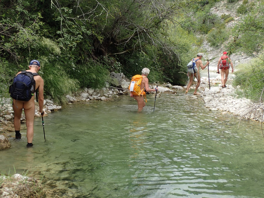
Si les balades les pieds dans l’eau en été le long des ruisseaux sont une spécialité de l’association des Marcheurs Nus du Val de Roanne, il est agréable et utile de trouver parfois de nouveaux itinéraires. La proposition de Loïc d’aller explorer et nettoyer le ruisseau de la Colombe à Aurel remplissait parfaitement cet objectif.

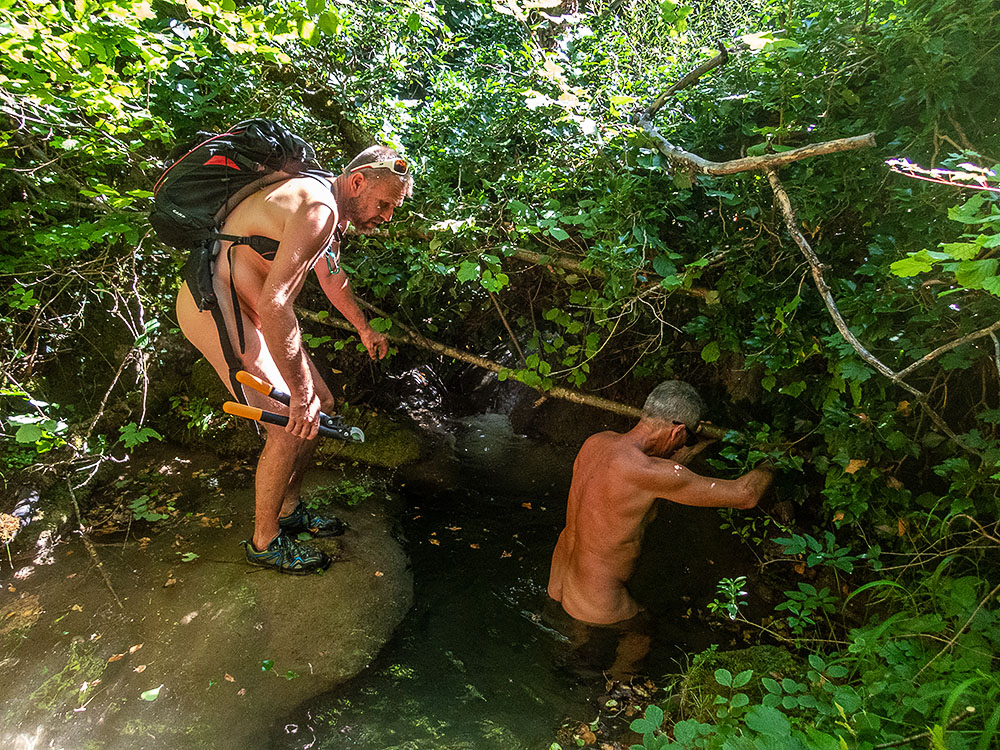
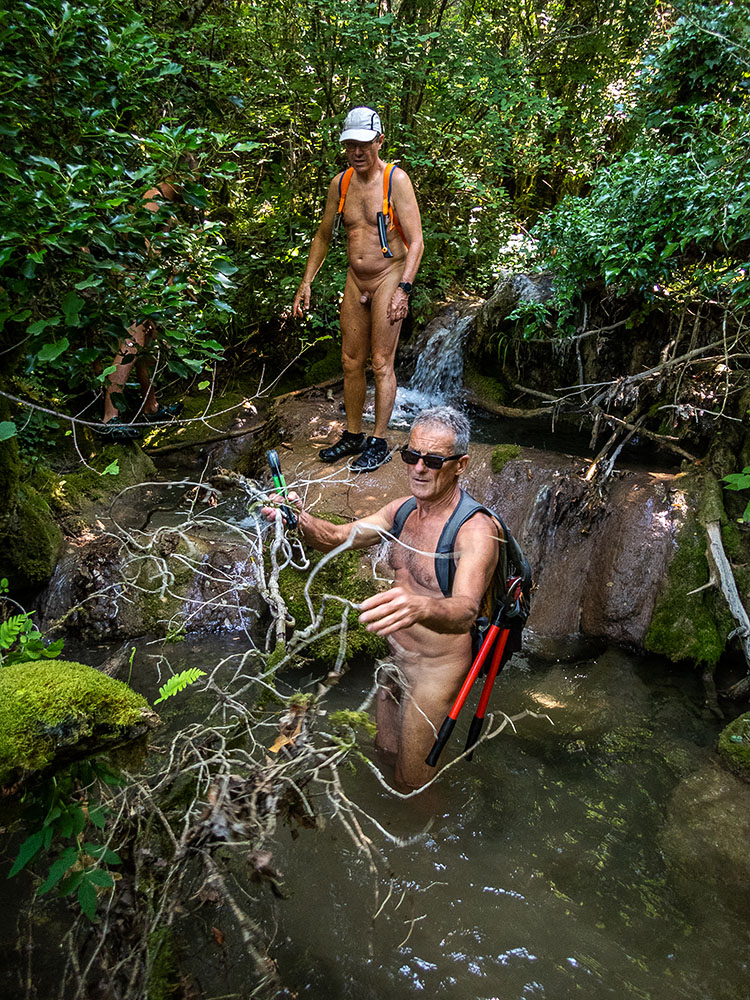
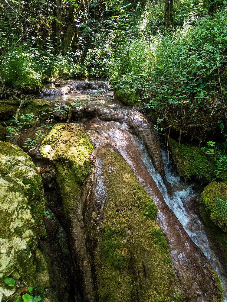
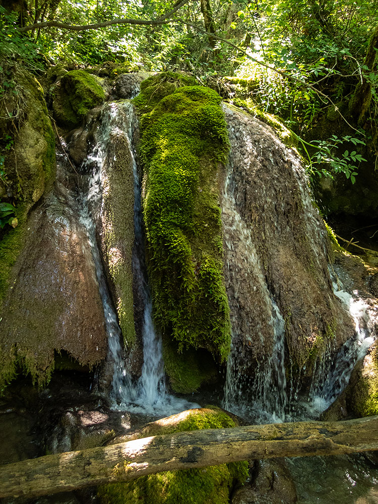
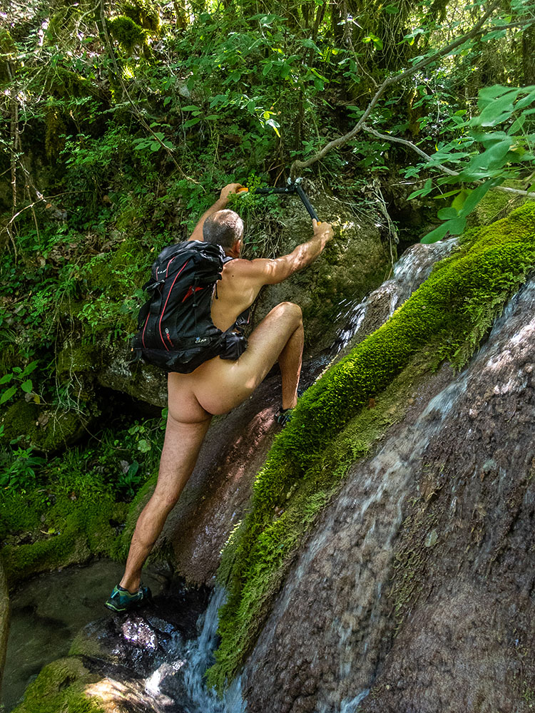
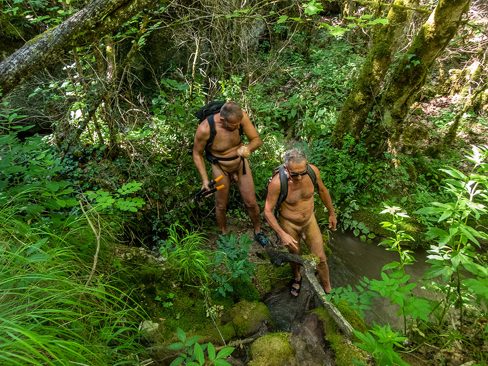
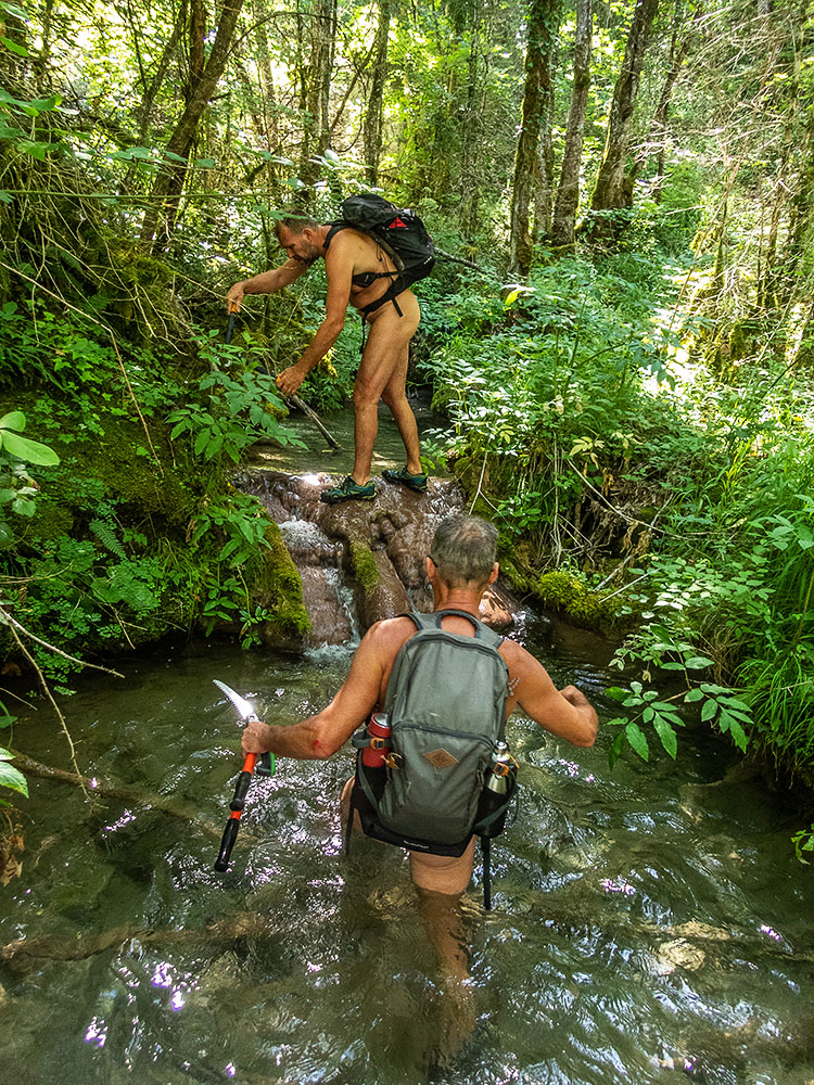
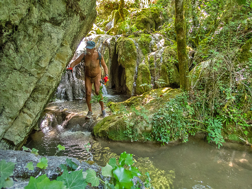
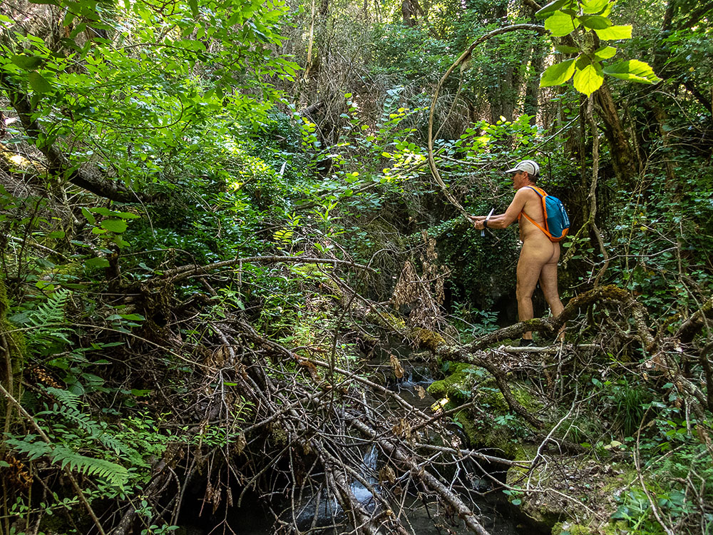
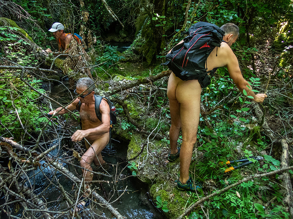
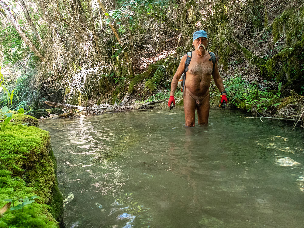
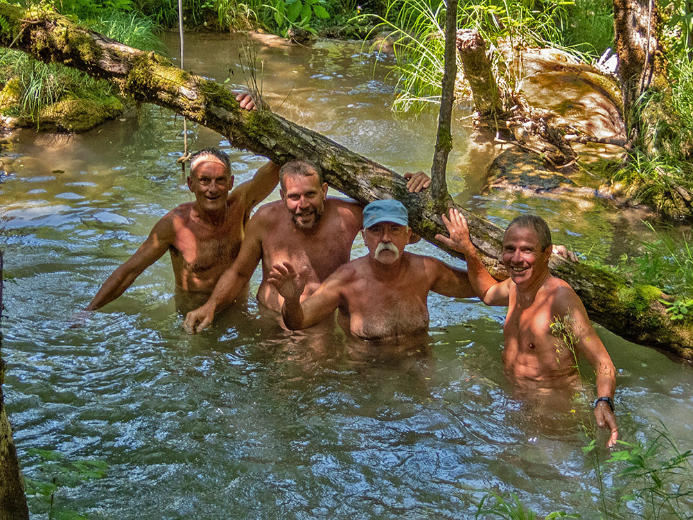
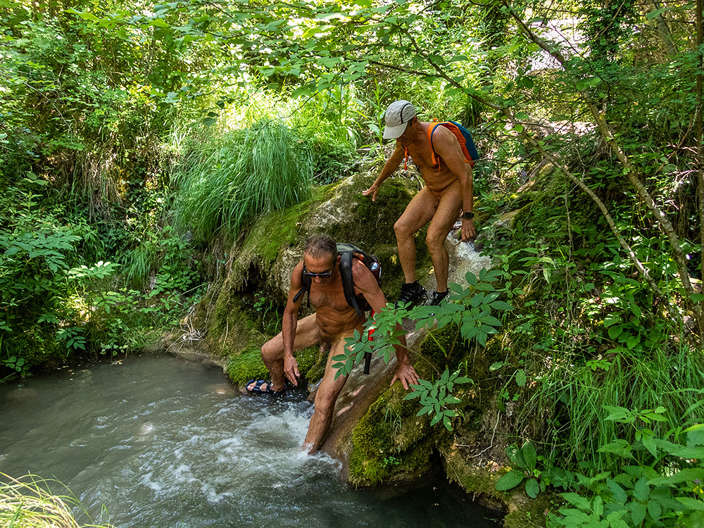
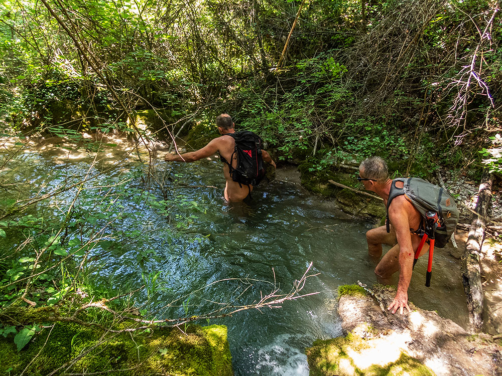
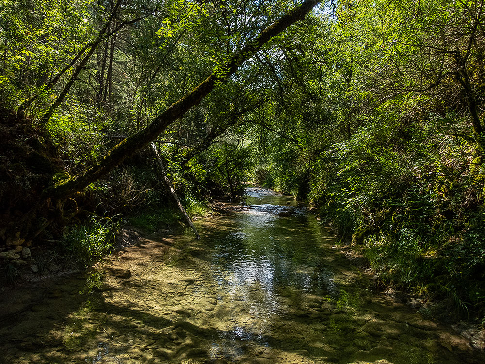
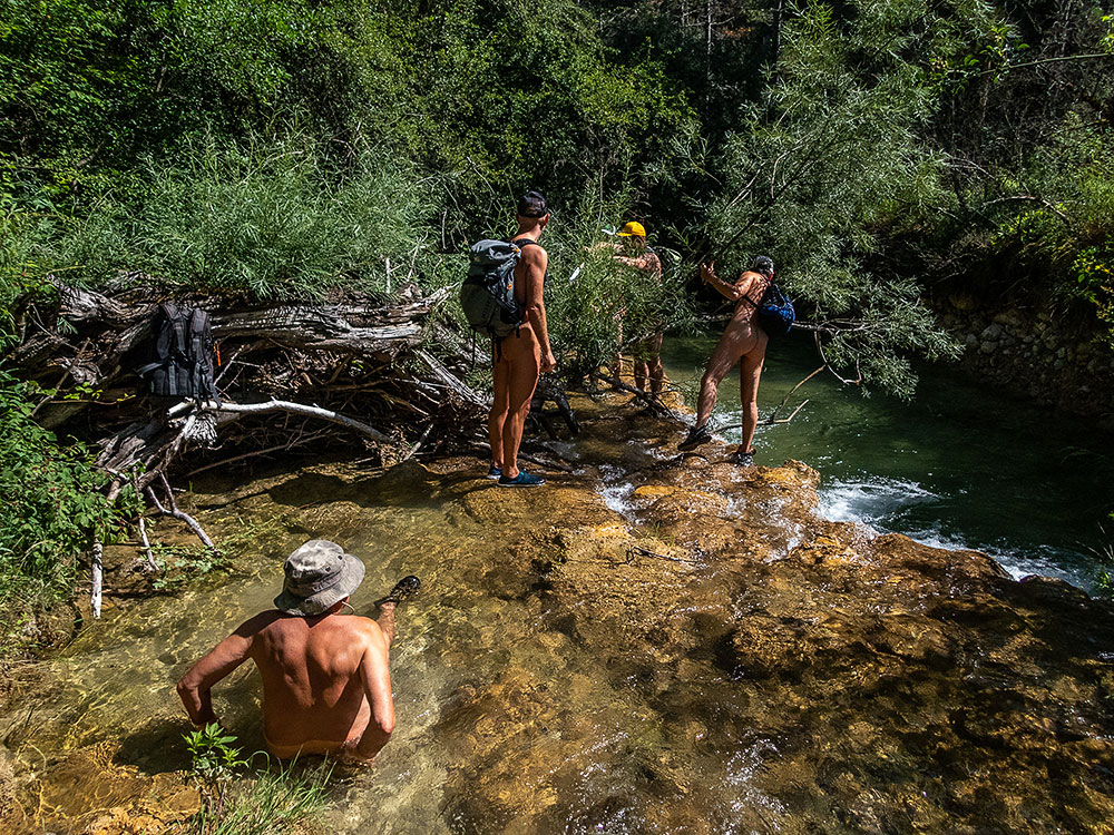
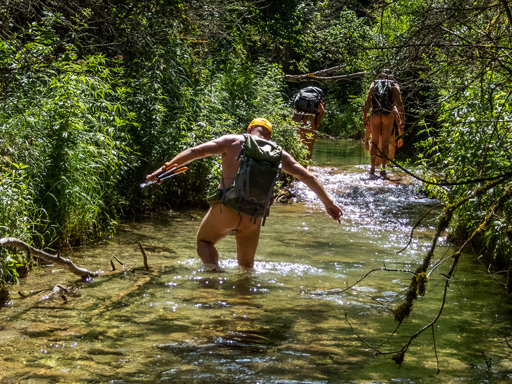
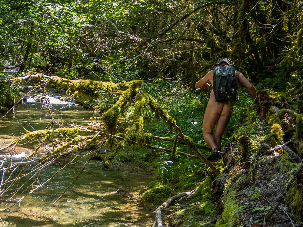
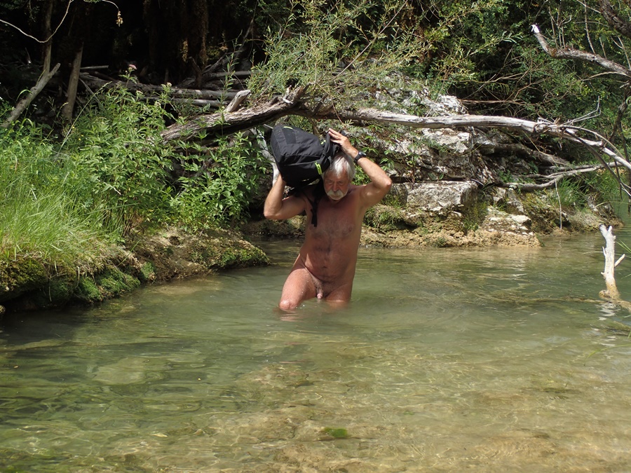
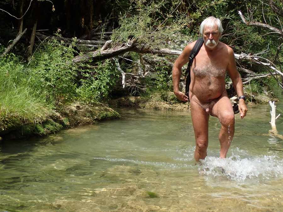
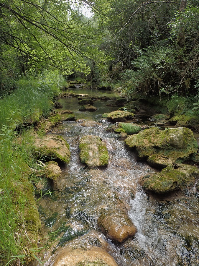
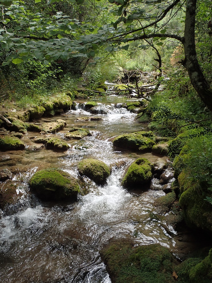
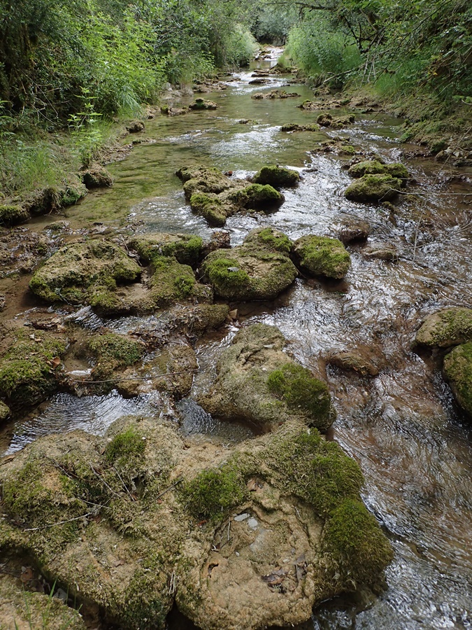
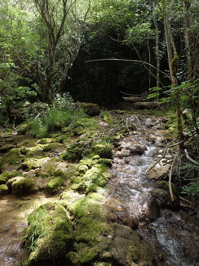
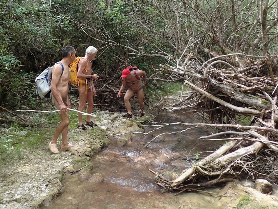
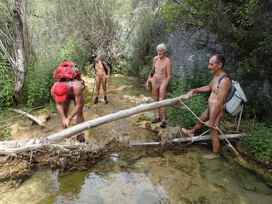
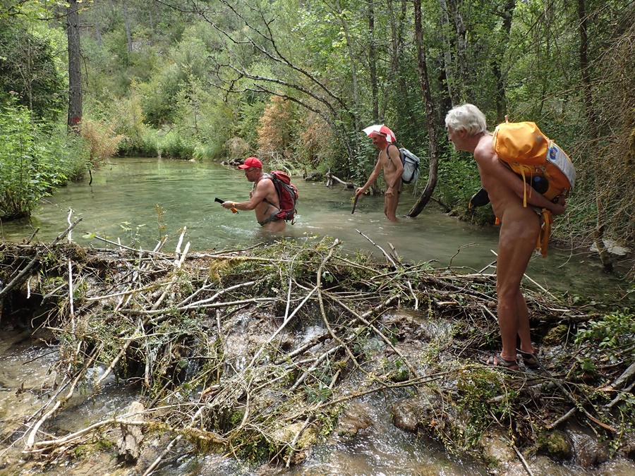
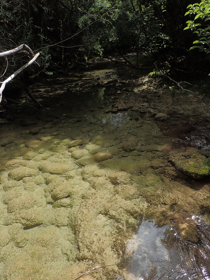
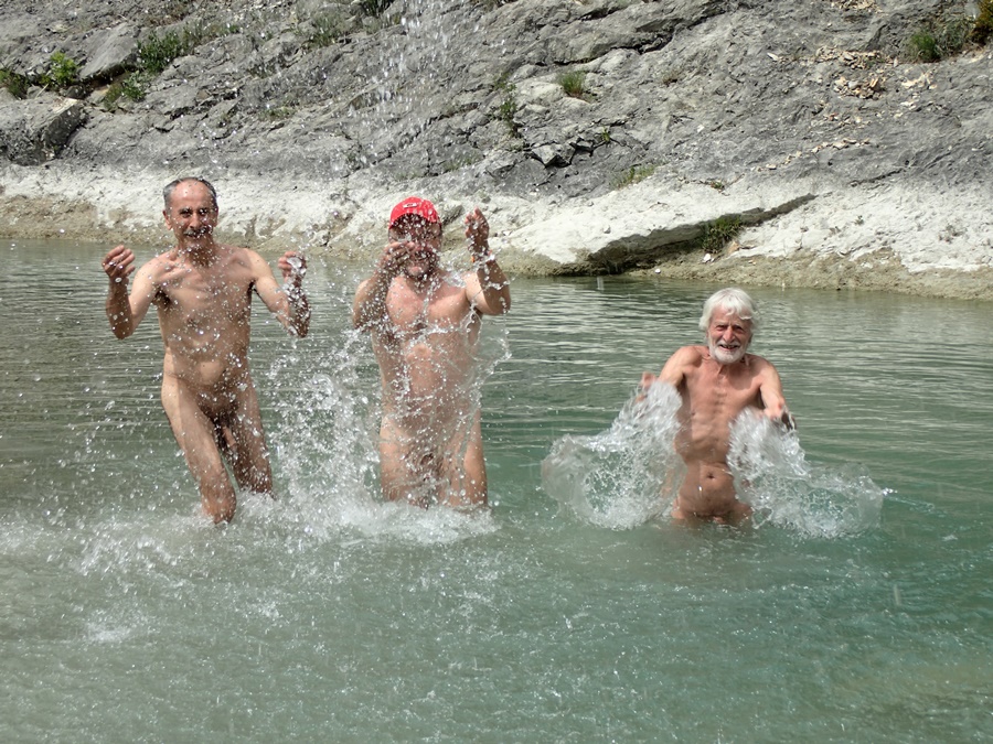
On s’est retrouvé à cinq sur le parking en face du camping d’Aurel. Bernard nous a tout d’abord accompagné puis a fait demi tour pour épargner ses genoux. A quatre avec Loïc, Christian et Robert on a attaqué la première difficulté : un tronc d’arbre couvert de lierre couché en travers du lit du ruisseau, entremêlé à des branches échouées sur lui. Sécateurs, coupe-branches et scies en action. Le barrage a sauté. Une fois passé l’obstacle on découvre le torrent qui saute de roches en roches, de ressauts en petites cascades de tuffières, de vasques en vasques où il fait bon se rafraîchir, l’eau est à 12° qui surprend au premier bain mais que l’on apprécie ensuite. Tout au long il faut couper, cisailler, pousser branches et ronces, chercher parfois un passage sur le côté, enjamber les rochers, s’enfoncer jusqu’à mi corps dans l’eau. Le temps passe sans que l’on s’en aperçoive ! Tout d’un coup le courant disparaît derrière un chaos de blocs. Au dessus on ne voit ni n’entend l’eau couler. Étrange ! On rejoint un chemin qui monte parallèlement au ruisseau puis une piste qui mène à la ferme du Chambon. Pique nique au bord du chemin, à l’ombre bien sûr puis demi tour. On retrouve notre ruisseau que l’on descend maintenant. Un homme en maillot de bain n’est pas surpris de notre tenue « Je connais l’existence de votre association » Il est par contre surpris par la somme de notre travail du matin. Il propose de nous prendre en photo tous les quatre ensemble avec mon appareil. Il nous indique aussi qu’en dessous de notre point de départ il est possible de continuer jusqu’au camping. On y va donc, mais là encore la végétation a envahi le cours du torrent et l’outillage se remet en service. Mais le résultat en vaut la peine et cette balade pourra se mettre au programme en toute sécurité.


Although summer walks along streams with feet in the water are a speciality of the Val de Roanne Naked Walkers Association, it’s nice and useful to occasionally find new itineraries. Loïc’s proposal to explore and clean up the Colombe stream in Aurel fulfilled this objective perfectly.
The group of five met in the parking lot opposite the Aurel campsite. Bernard first accompanied us, then turned back to spare his knees. The four of us, along with Loïc, Christian and Robert, tackled the first difficulty: an ivy-covered tree trunk lying across the bed of the stream, intermingled with branches washed up on top of it. Pruning shears, branch cutters and saws in action. The dam has burst. Once past the obstacle, the torrent jumps from rock to rock, from overhang to little tuff waterfalls, from basin to basin, where it’s good to cool off. The water is 12°, which is surprising at first, but much appreciated afterwards. All along the way, we have to cut, shear, push branches and brambles, sometimes looking for a passage to the side, step over rocks and sink halfway into the water. Time passes unnoticed! Suddenly, the current disappears behind a chaos of boulders. You can’t see or hear the water flowing above. How strange! We join a path that runs parallel to the stream, then a track that leads to the Chambon farm. Picnic by the roadside, in the shade of course, then turn around. We return to our creek, which we are now descending. A man in a swimsuit isn’t surprised by our outfit: « I know about your association ». He is, however, surprised by the amount of work we’ve done this morning. He offers to take a photo of the four of us together with my camera. He also tells us that below our starting point it’s possible to continue on to the campsite. So off we go, but here again the vegetation has invaded the torrent and the tools are back in use. But the result is well worth the effort, and we’ll be able to put this walk on the agenda in complete safety.

Ruisseau d’Aucelon

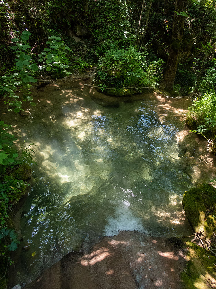
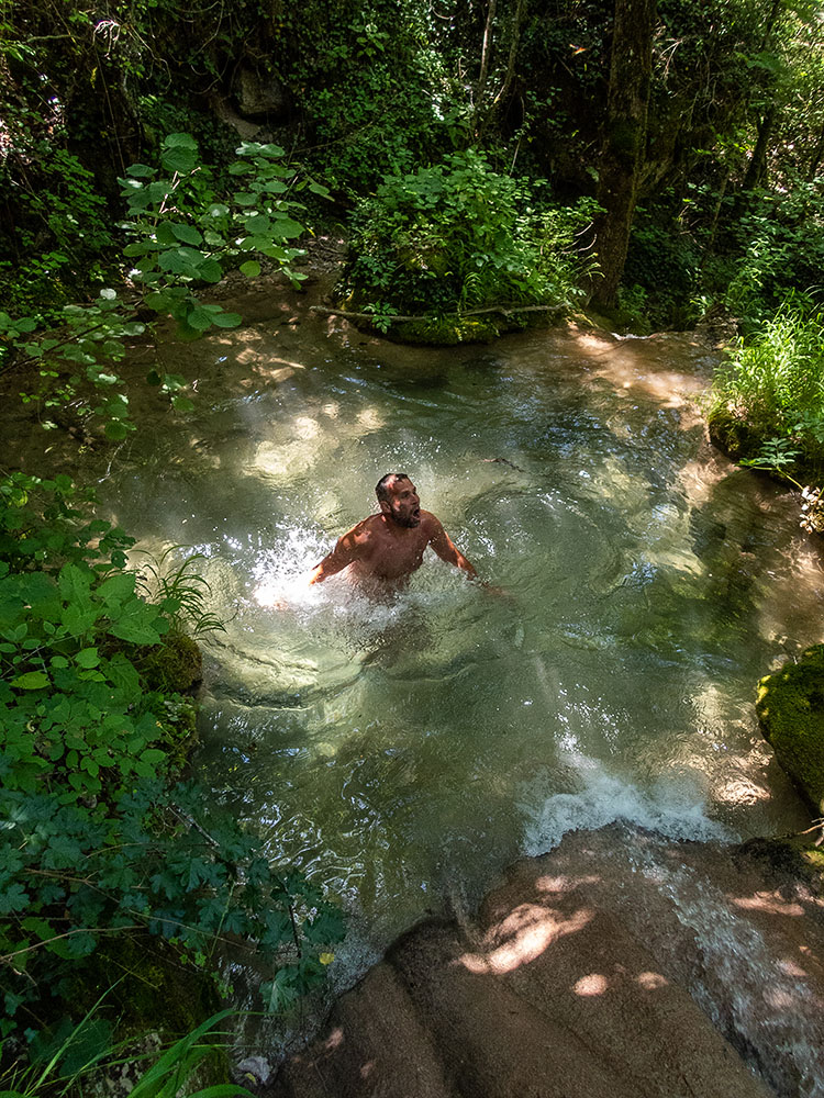
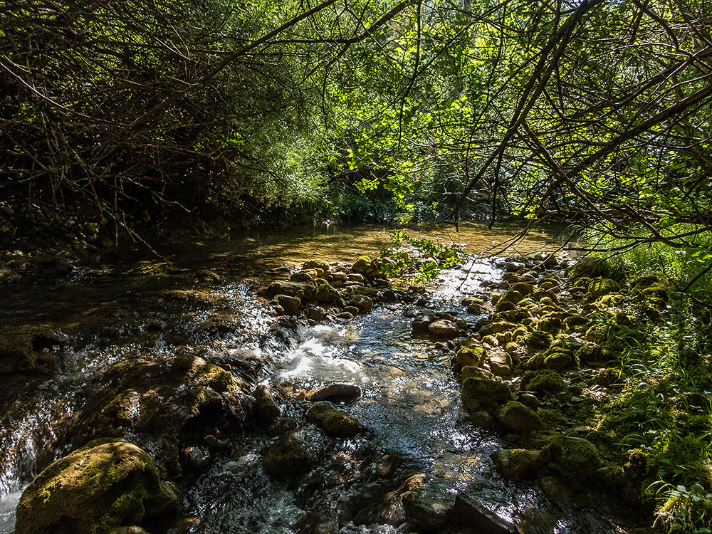
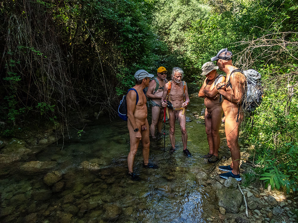
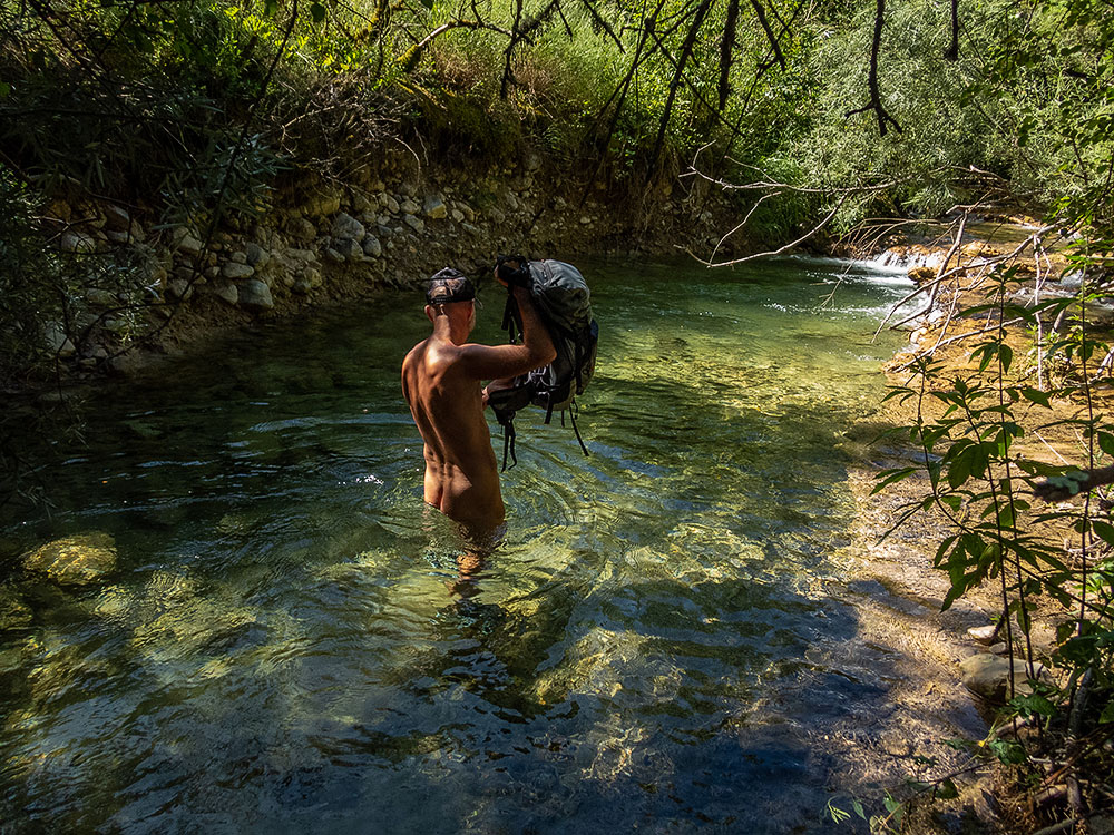
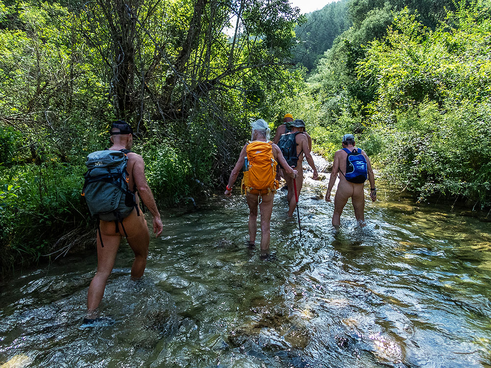
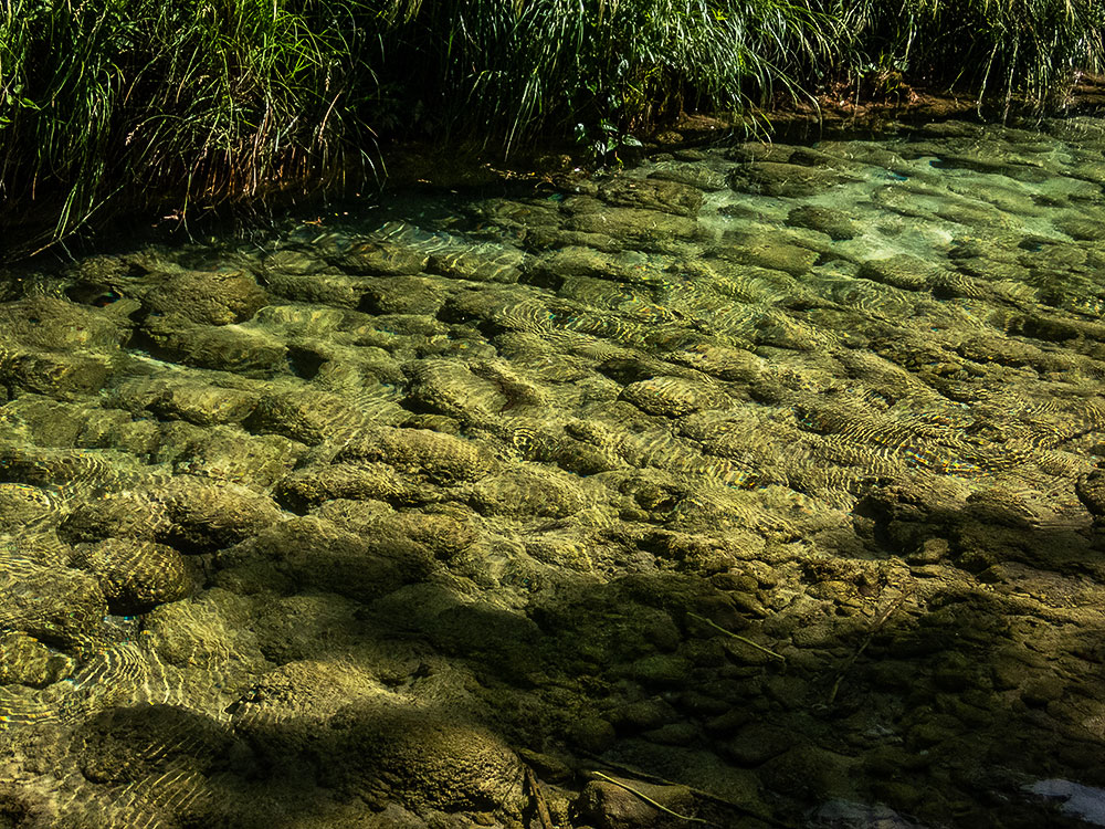
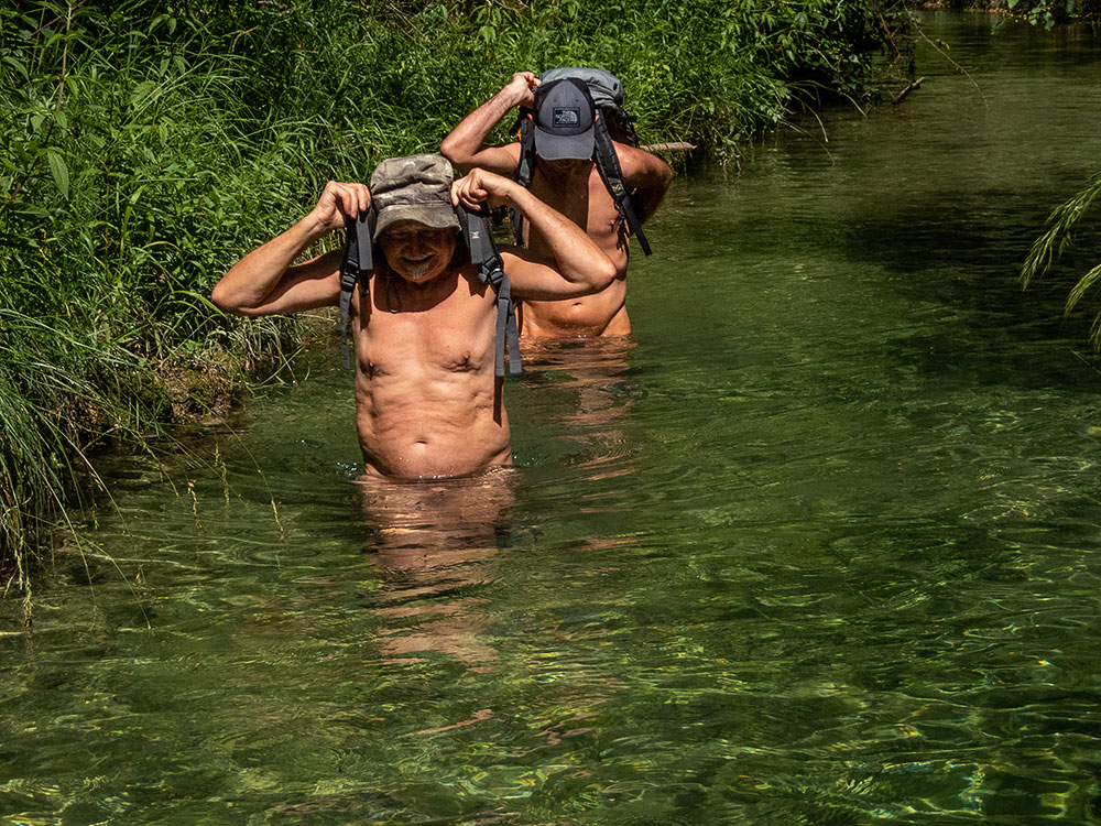
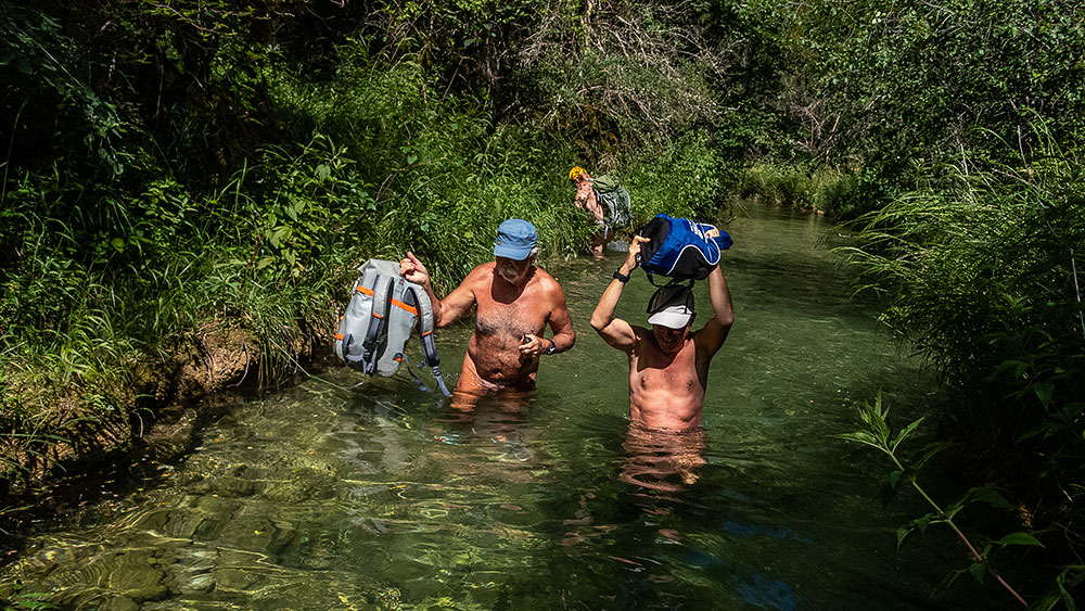
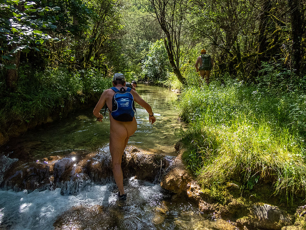
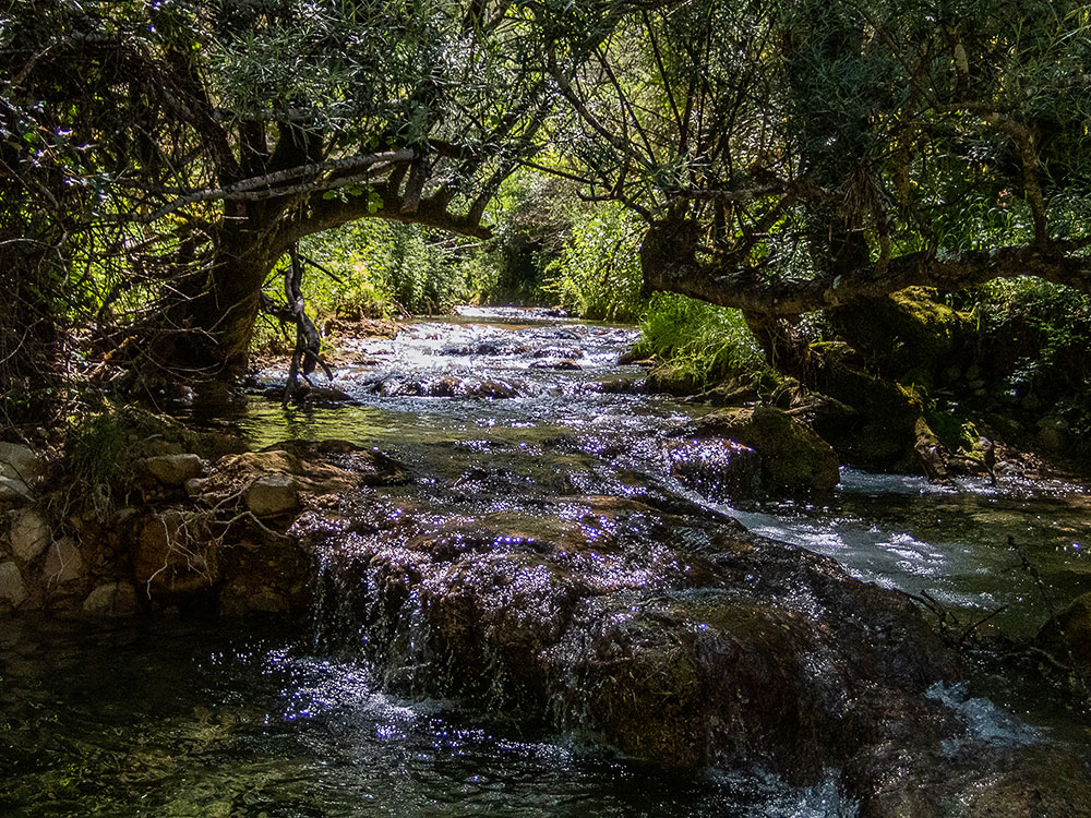
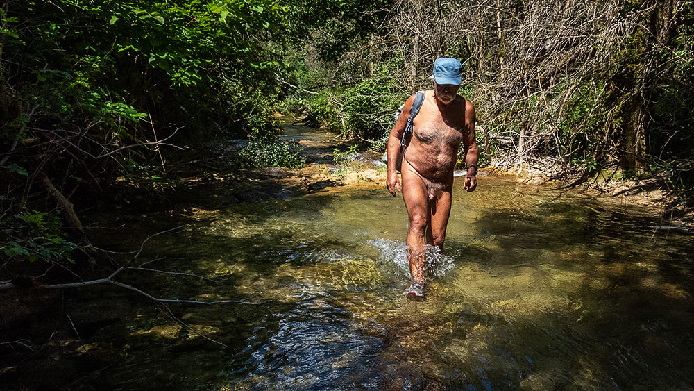
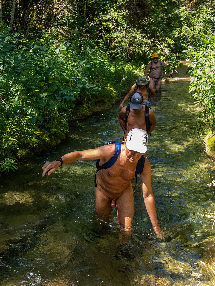
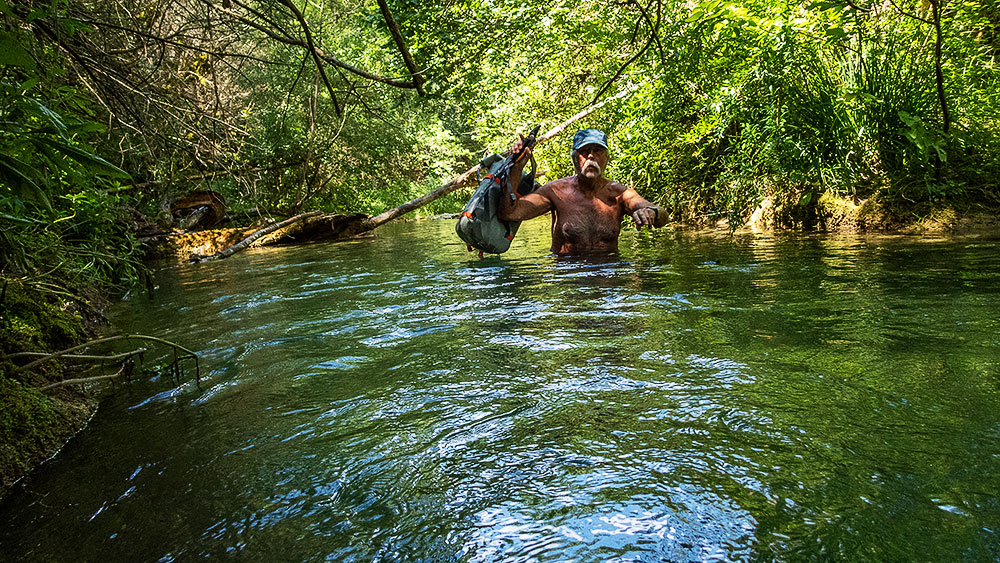
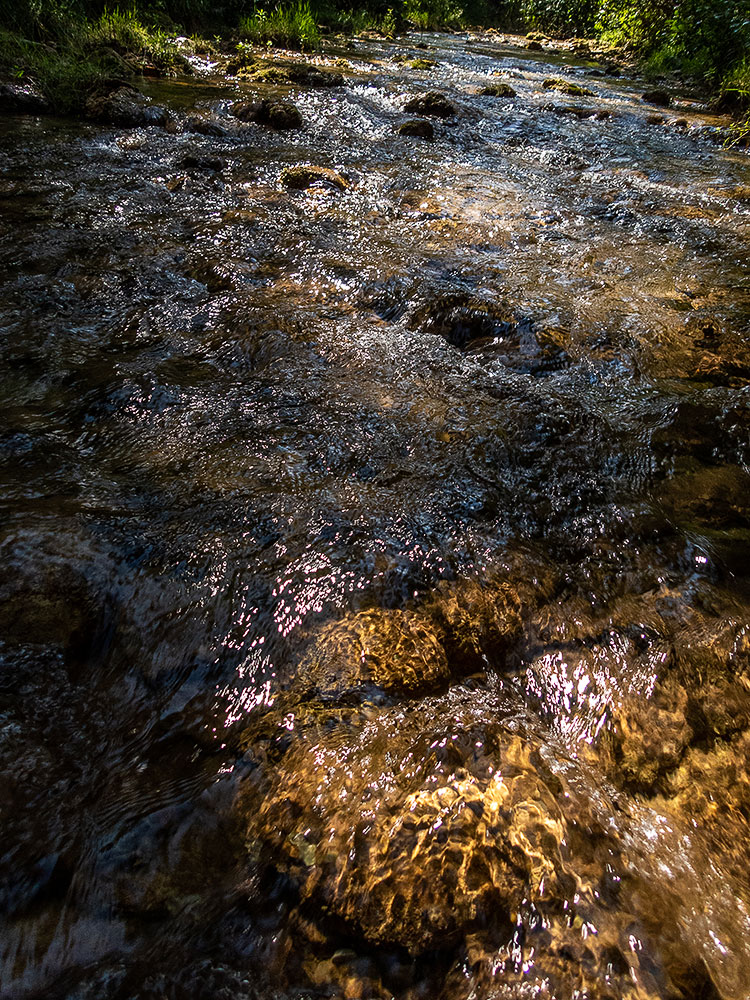
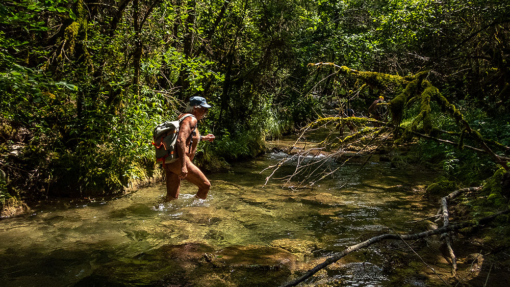
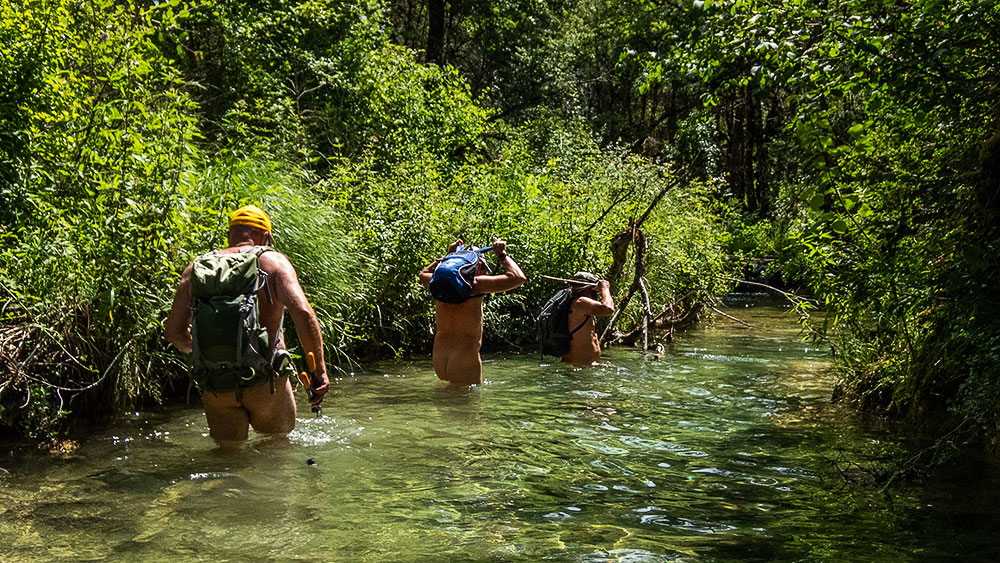
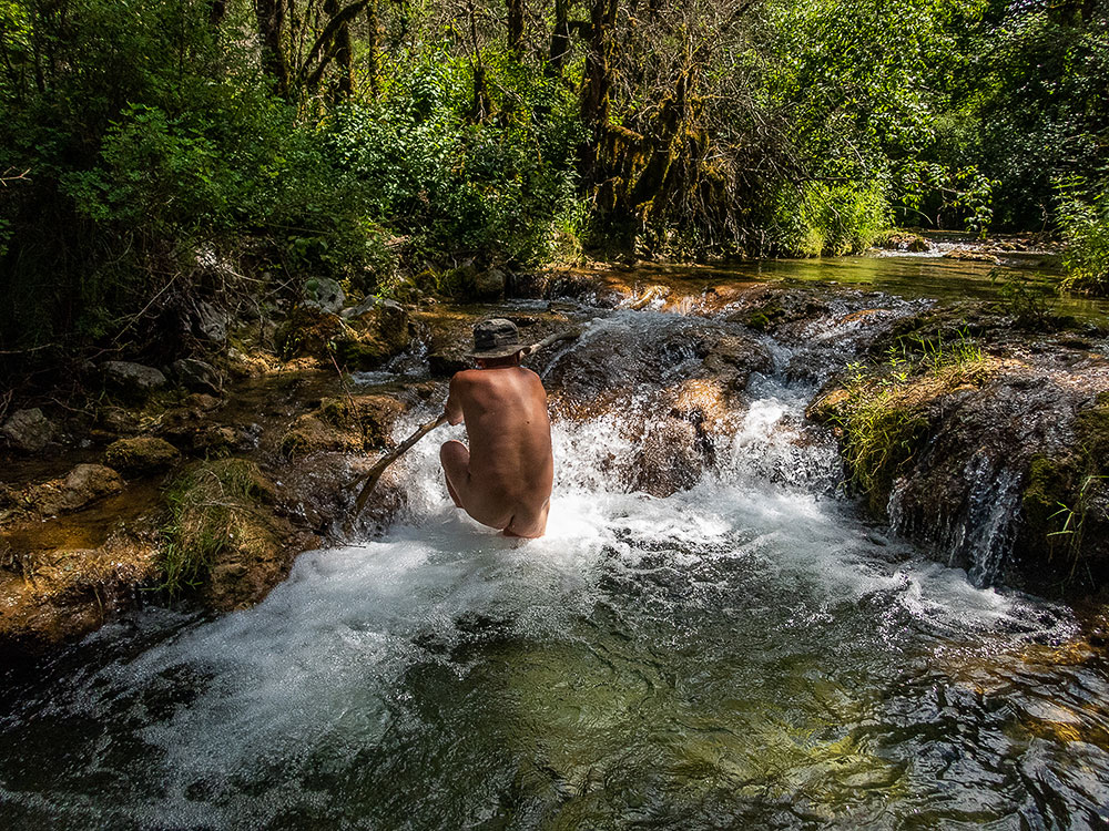
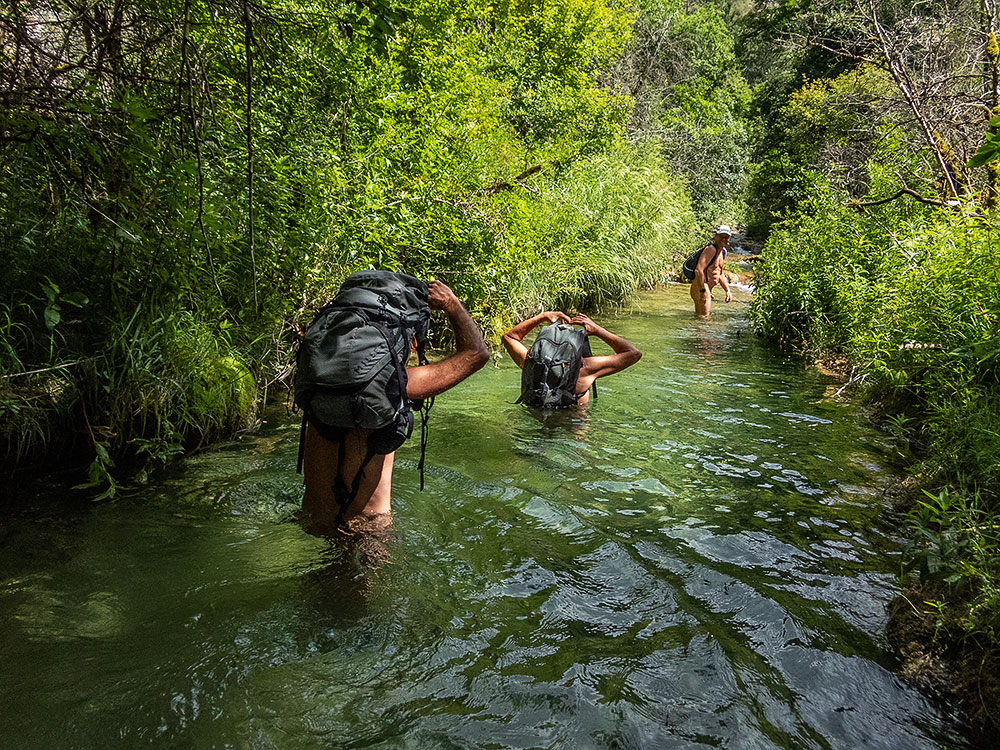
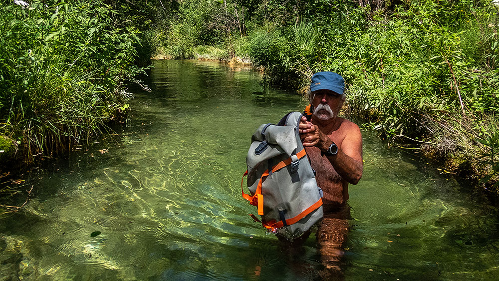
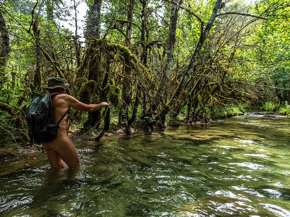
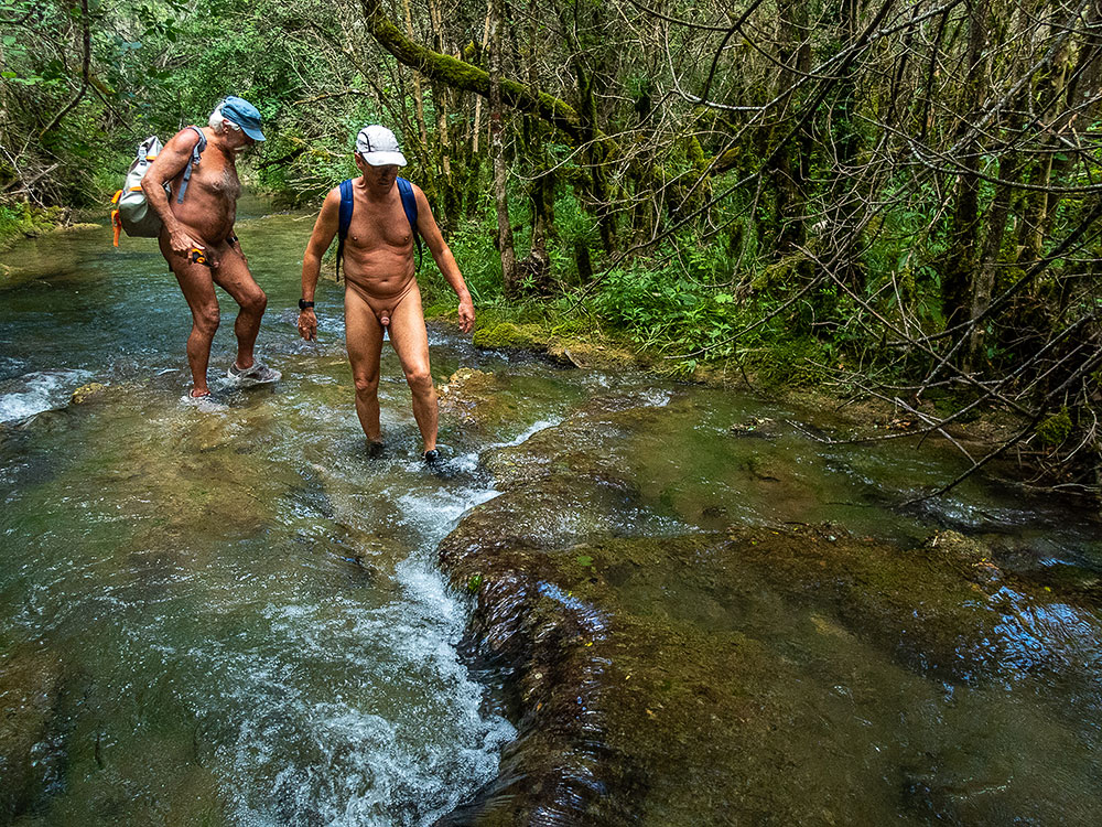
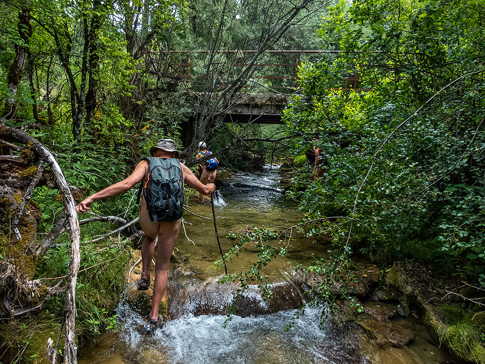
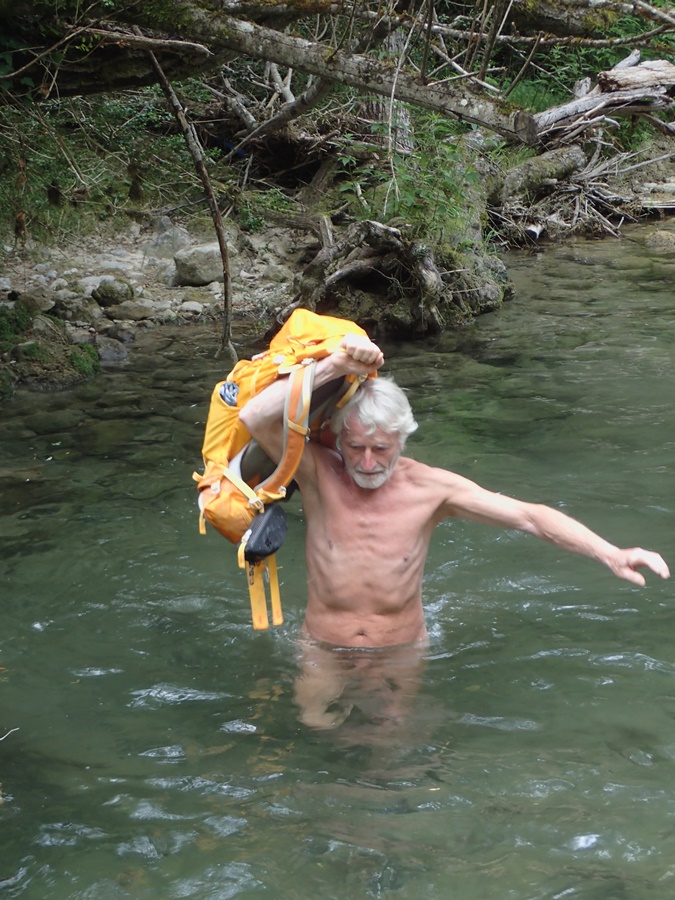
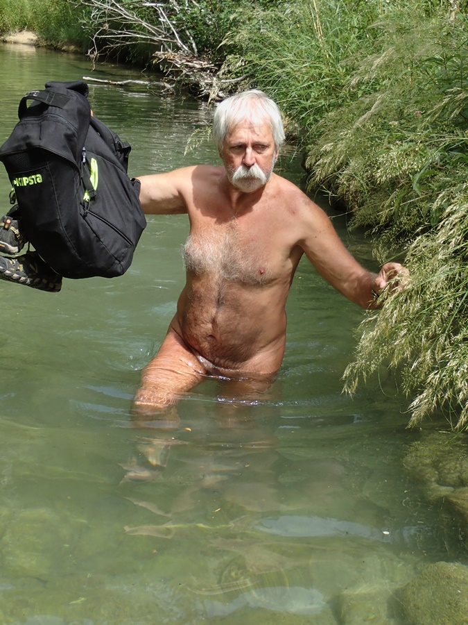
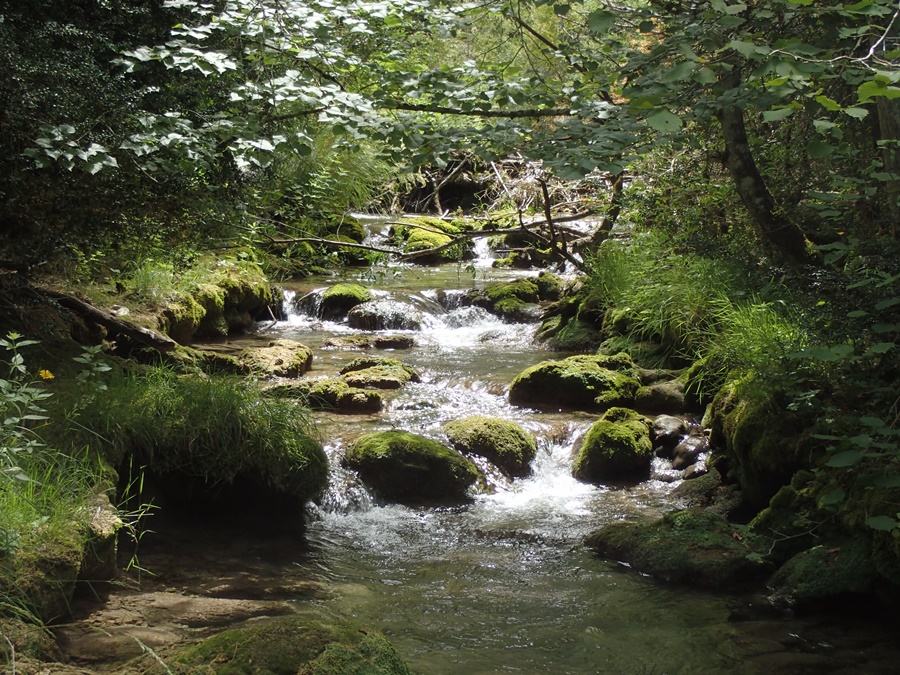
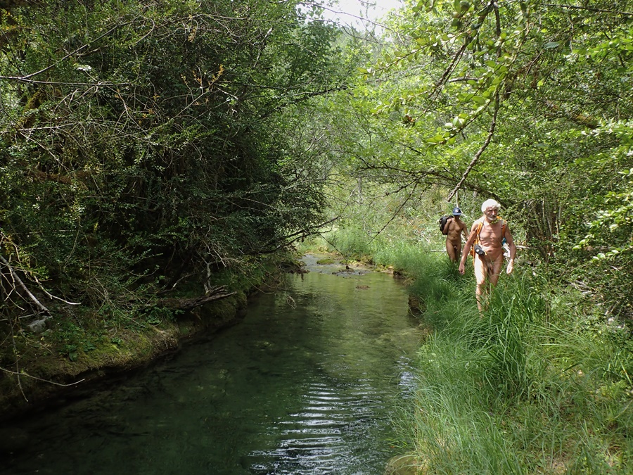
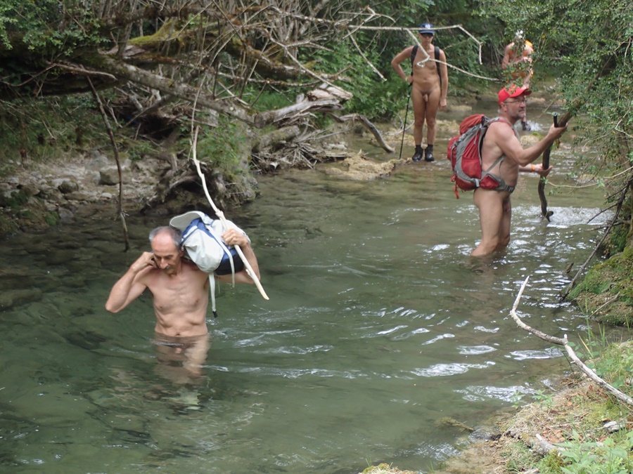
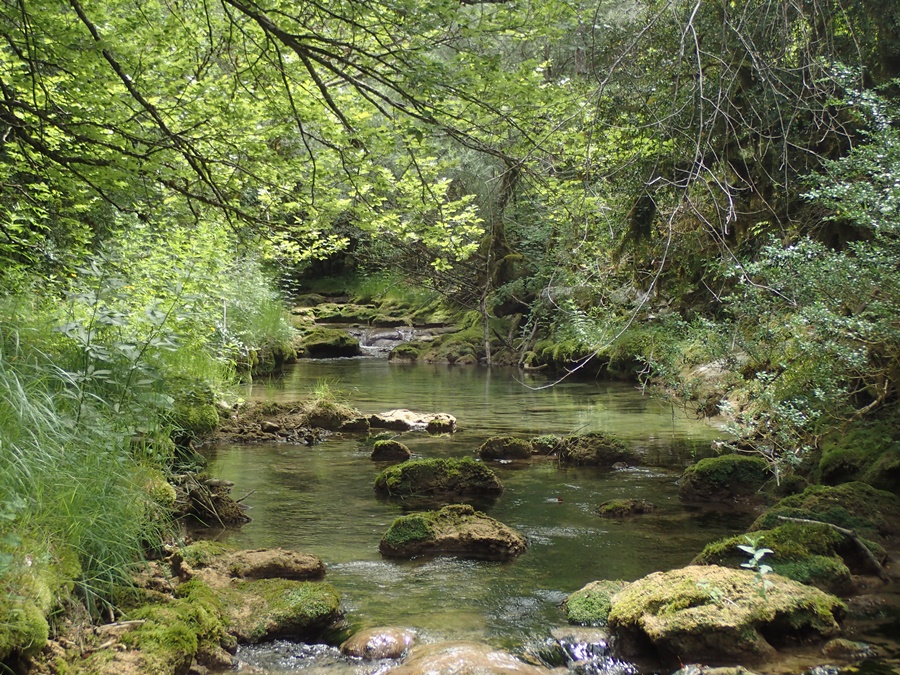
Retour au ruisseau d’Aucelon en ce dimanche de tout début juillet avec l’association des Marcheurs Nus du Val de Roanne. Nous sommes sept dont Thibaut qui nous accompagne pour la première fois. Bernard qui souffre au genou et Philippe nous accompagnent pour commencer puis préféreront rejoindre un chemin moins glissant. Francis s’occupe de couper les branches qui encombrent le passage, deux sécateurs s’activent aussi contre les ronces. Cette année, après les pluies des derniers jours le ruisseau ne manque pas d’eau. D’une eau qui nous semble bien fraîche au début, mais on s’habituera. Surtout qu’il nous faudra rapidement s’engager jusque mi corps et même plus haut pour franchir les vasques qui parsèment le parcours, en veillant à tenir les sacs hors de l’eau. On avance pas vite. On admire le paysage, les jeux de lumière sur la verdure et l’eau du ruisseau. C’est un véritable enchantement. Francis, à son tour fait demi tour. On continue à quatre avec Thibaut, Christian et Pierre jusqu’à atteindre le petit pont qui marque la fin de notre progression aquatique. On réchauffe nos pieds au soleil lors du casse croûte puis on revient par la terre ferme en empruntant le petit sentier de pêcheur qui serpente sous les herbes hautes et dans la forêt parallèlement au ruisseau.

Back to the Aucelon stream with the Val de Roanne Naked Walkers Association on this Sunday in early July. We are seven in number, including Thibaut who is accompanying us for the first time. Bernard, who is suffering from a bad knee, and Philippe come along to start with, but then prefer to take a less slippery path. Francis is busy trimming the branches cluttering up the path, and two pruning shears are also busy tackling the brambles. This year, after the rains of the last few days, the stream is not short of water. The water seems cool at first, but we’ll get accustomed to it. Especially as we have to go halfway up and even higher to cross the pools that scattered the route, taking care to keep our bags out of the water. We don’t move fast. We admire the landscape, the play of light on the greenery and the water of the stream. It’s truly enchanting. Francis, in turn, turns back. The four of us continue with Thibaut, Christian and Pierre until we reach the small bridge that marks the end of our aquatic progression. We warm our feet in the sun as we have a snack, then return by land, taking the little fisherman’s path that winds under the tall grass and through the forest parallel to the stream.


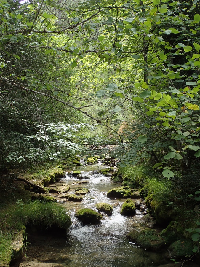
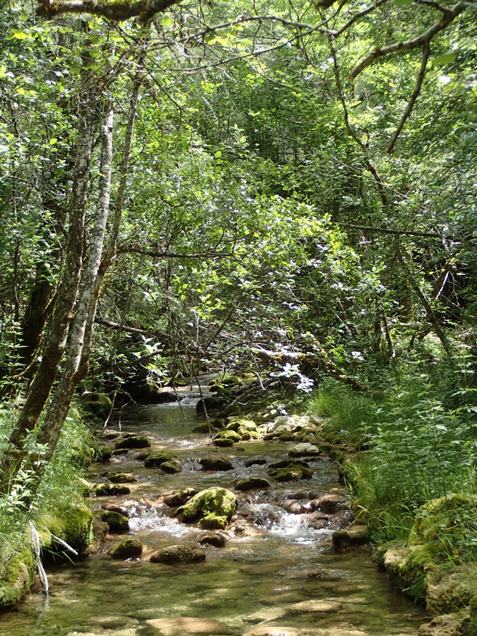
Durant la saison estivale, l’association des Marcheurs Nus du Val de Roanne privilégie les randonnées aquatiques en remontant les cours des ruisseaux. En ces périodes caniculaires, il est vraiment très agréable de profiter de l’ombre des arbres et de la fraîcheur de l’eau.
Ce samedi , nous étions cinq pour remonter le ruisseau d’Aucelon depuis le cours de la Roanne jusqu’aux ruines de l’ancien moulin : Bernard, Francis, Pierre, Yves et moi même. Une balade de quatre heures et demi.


During the summer season, the association of the Marcheurs Nus of the Val de Roanne favors the aquatic excursions up the courses of the streams. In these scorching times, it is really nice to enjoy the shade of the trees and the freshness of the water.
This Saturday, we were five to go up the stream of Aucelon from the course of the Roanne to the ruins of the old mill: Bernard, Francis, Pierre, Yves and myself. A four and a half hour hike.

Bivouac au Sautet

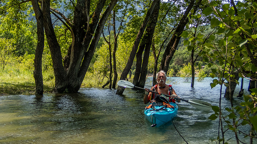
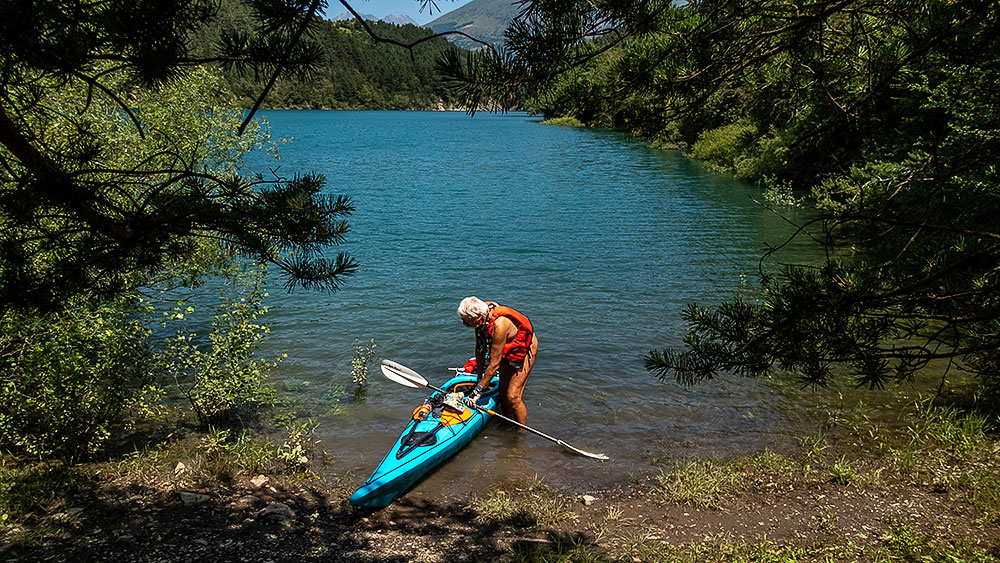
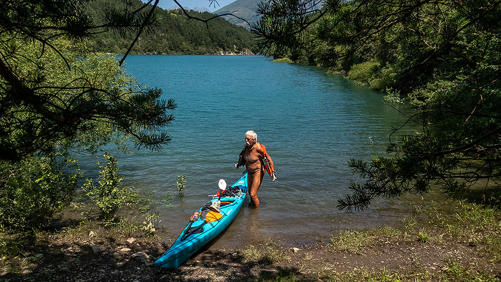
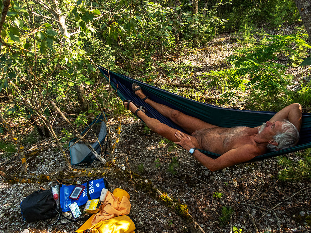
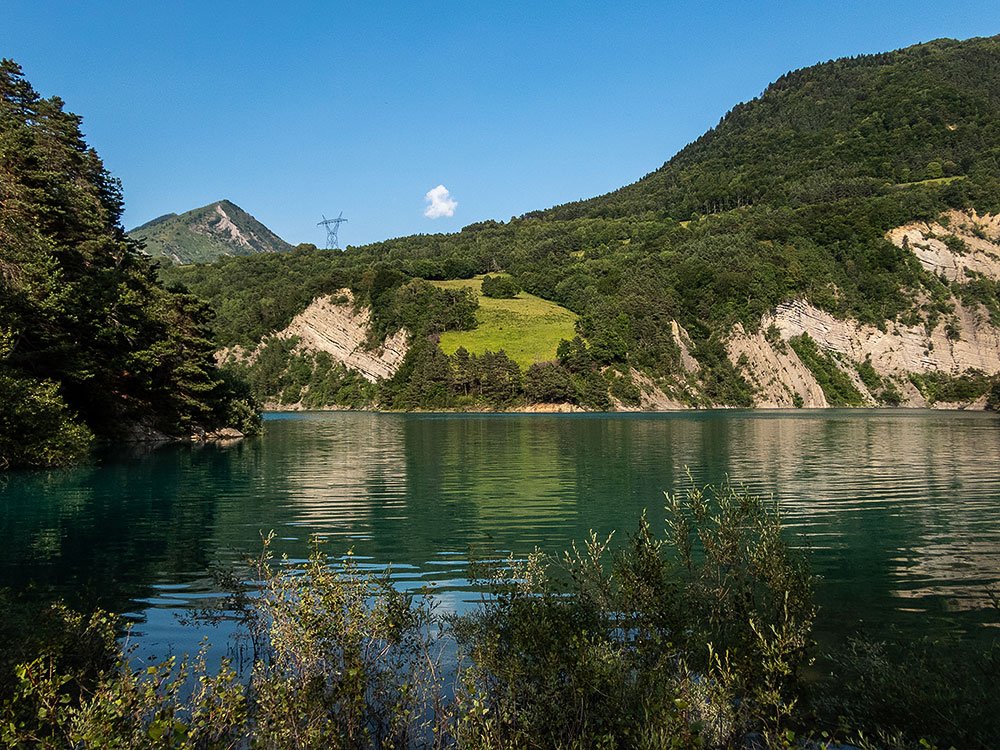
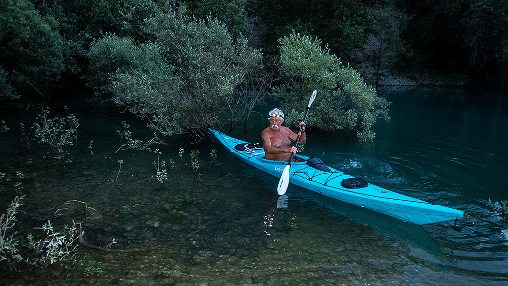
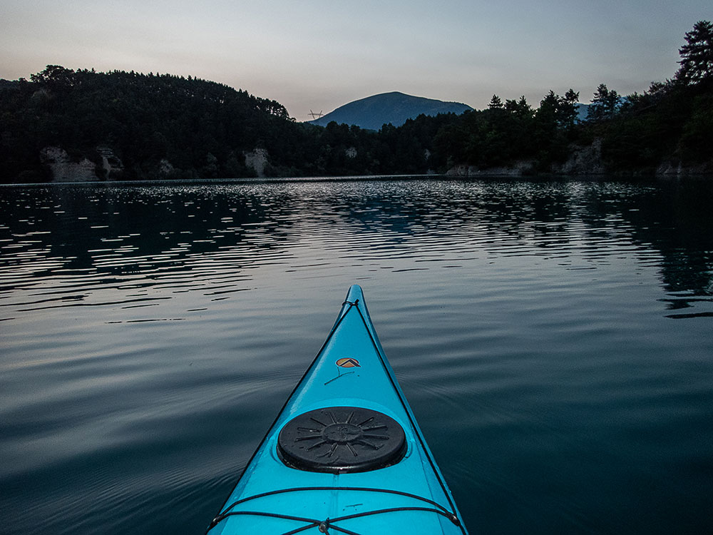
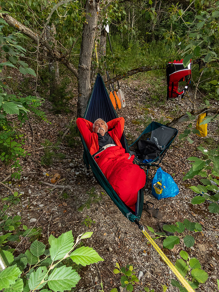
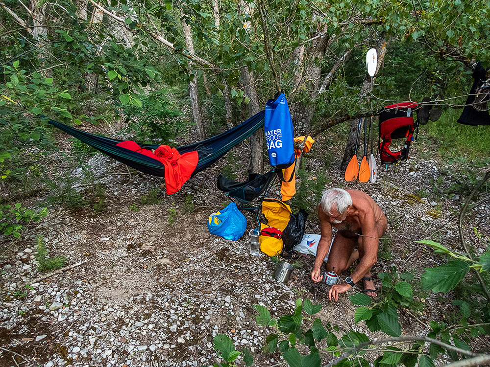
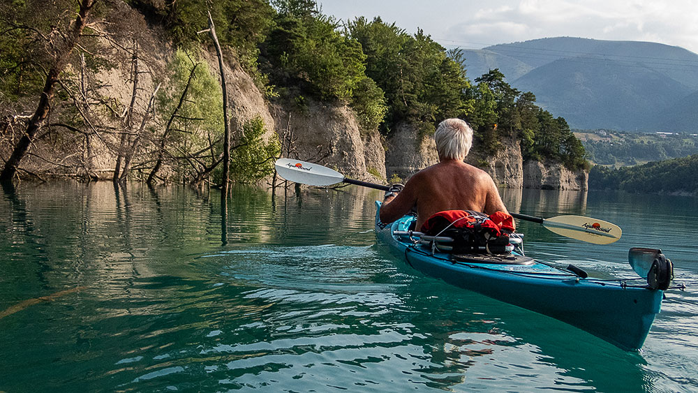
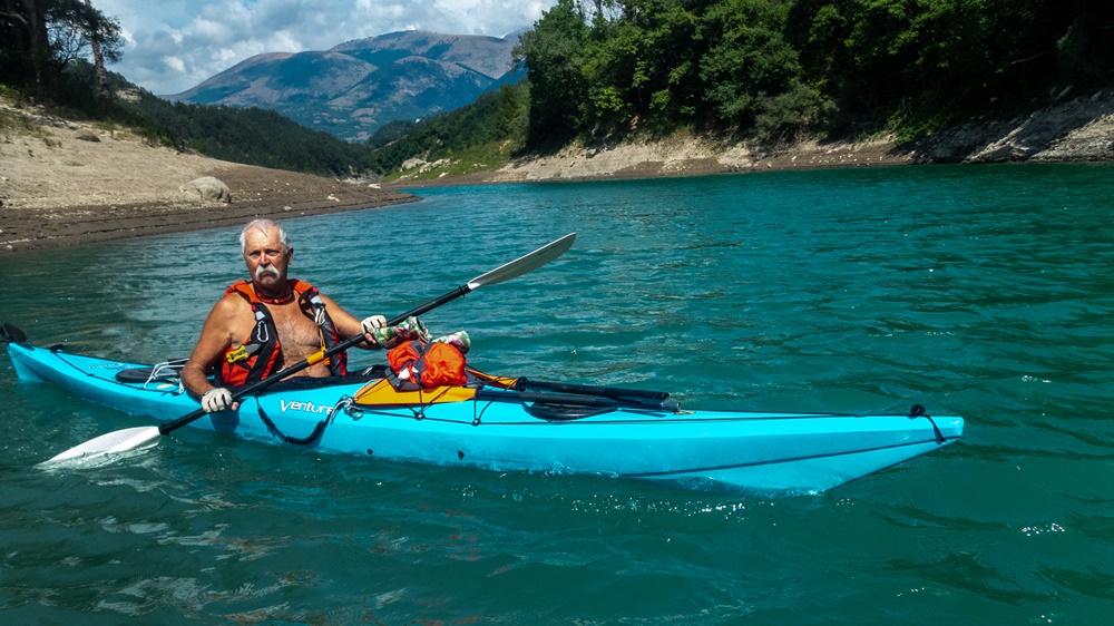
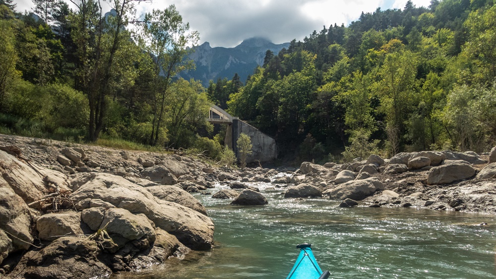
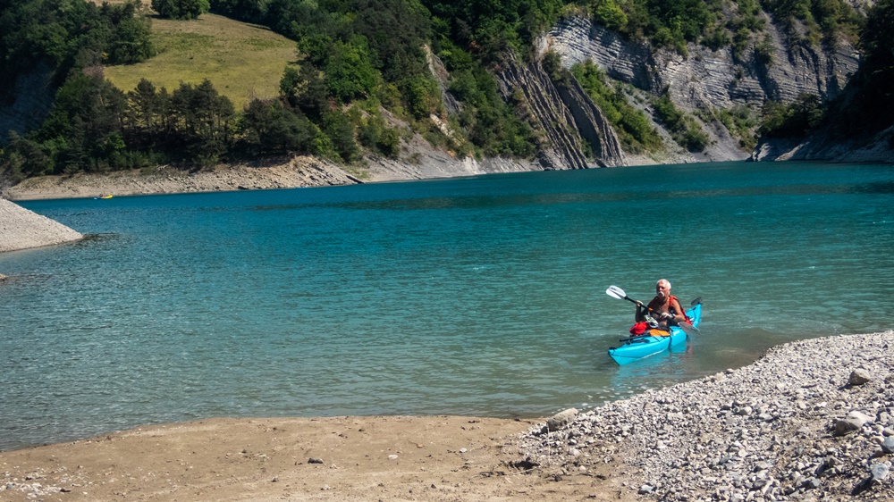
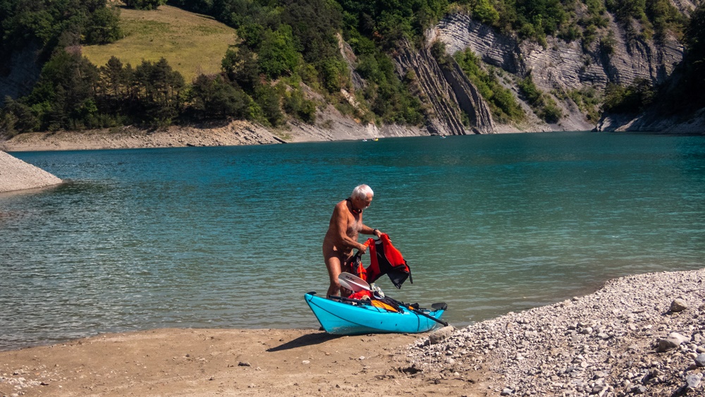
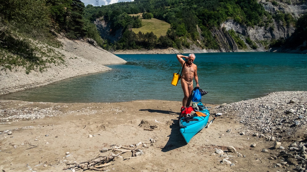
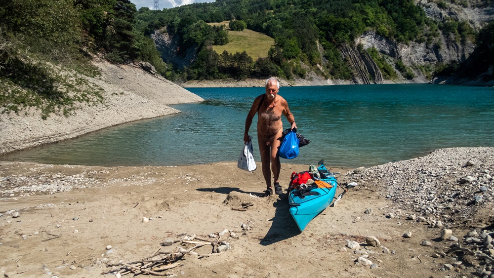
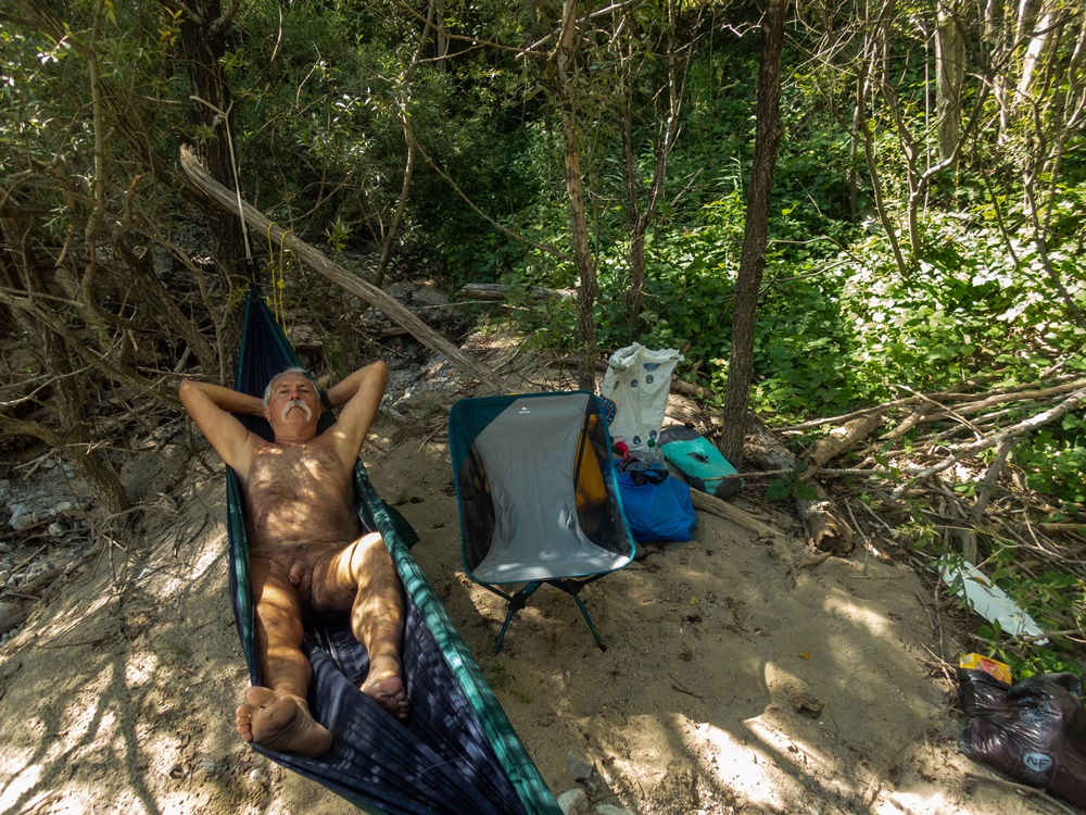
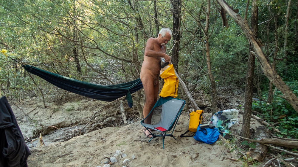
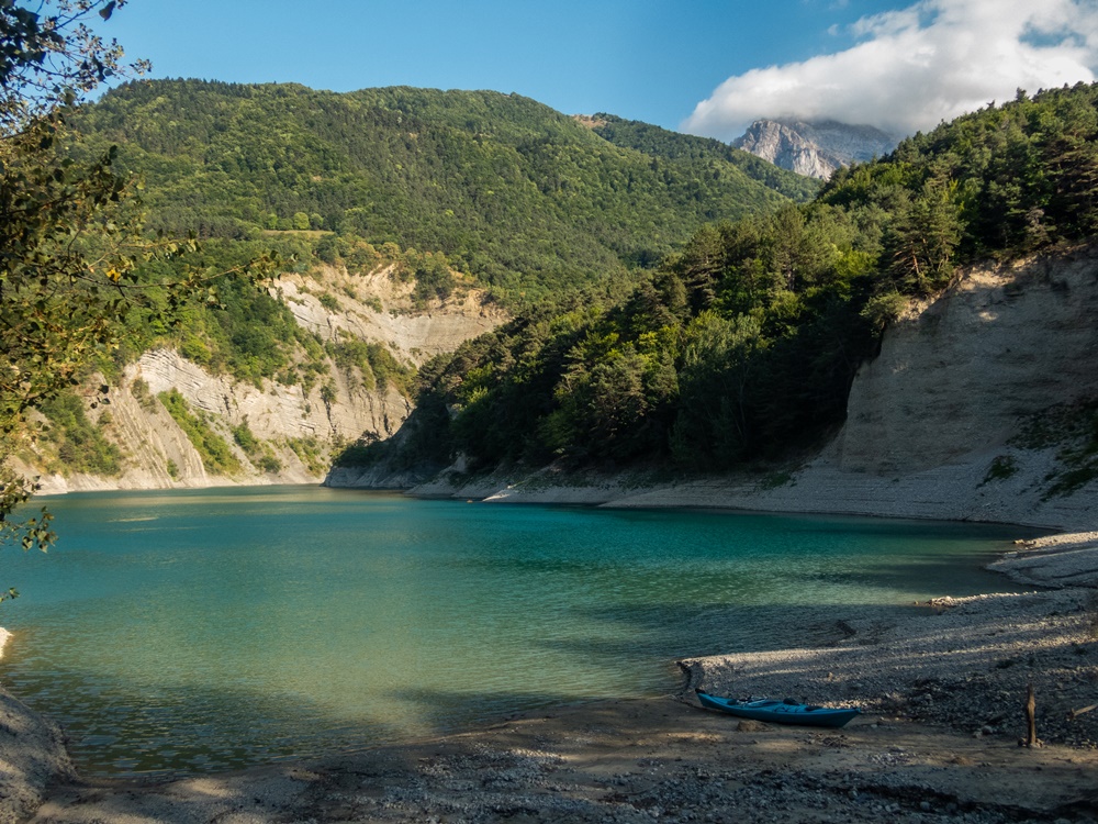
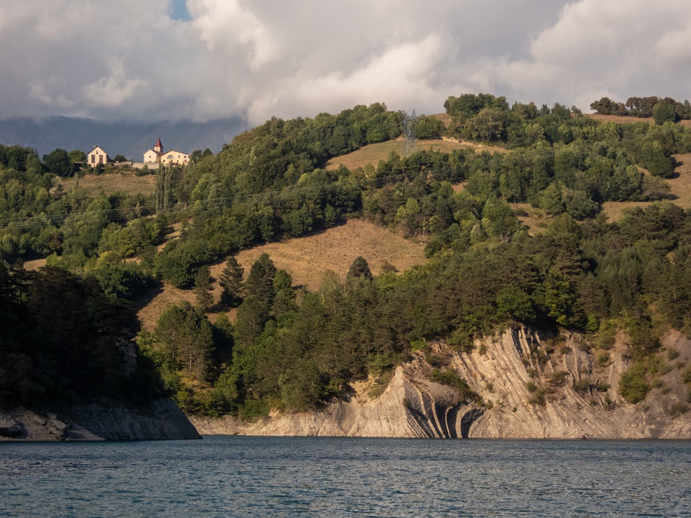
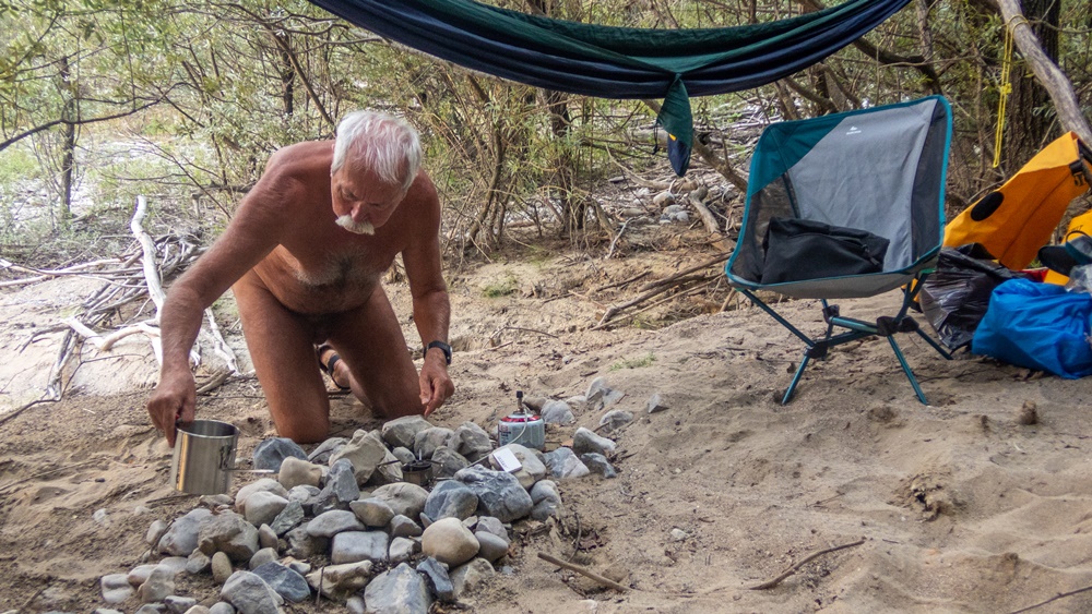
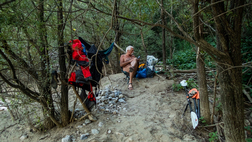
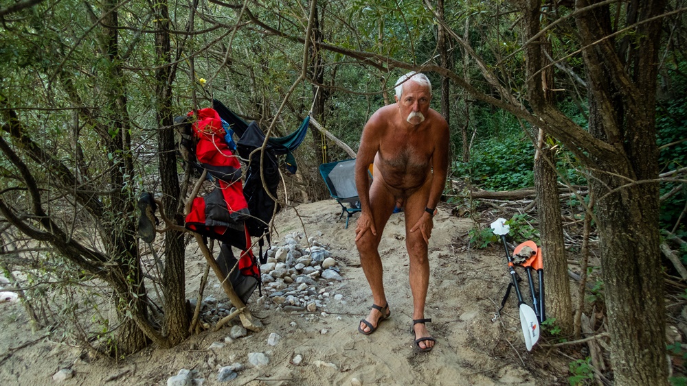
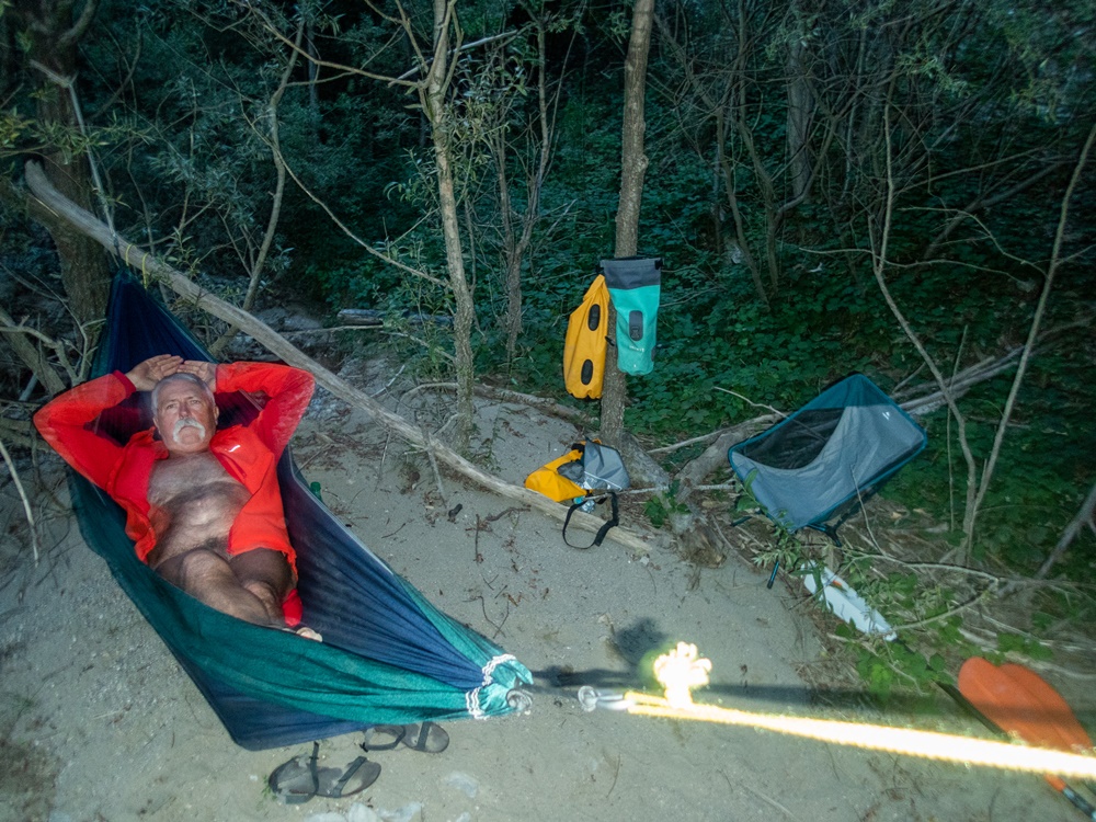
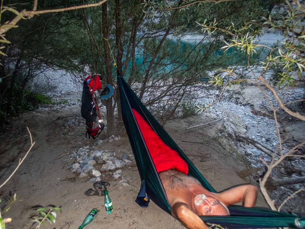
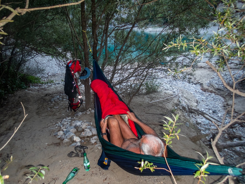
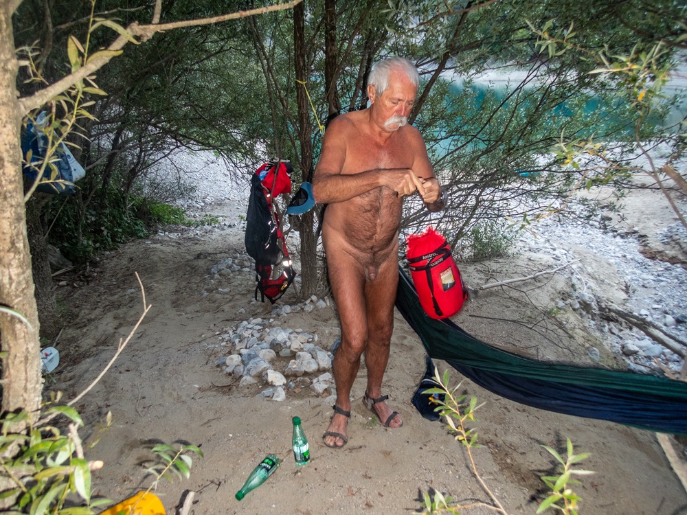
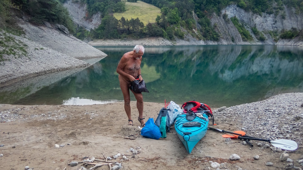
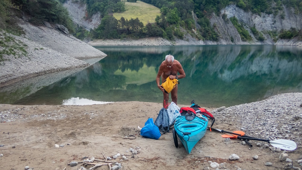
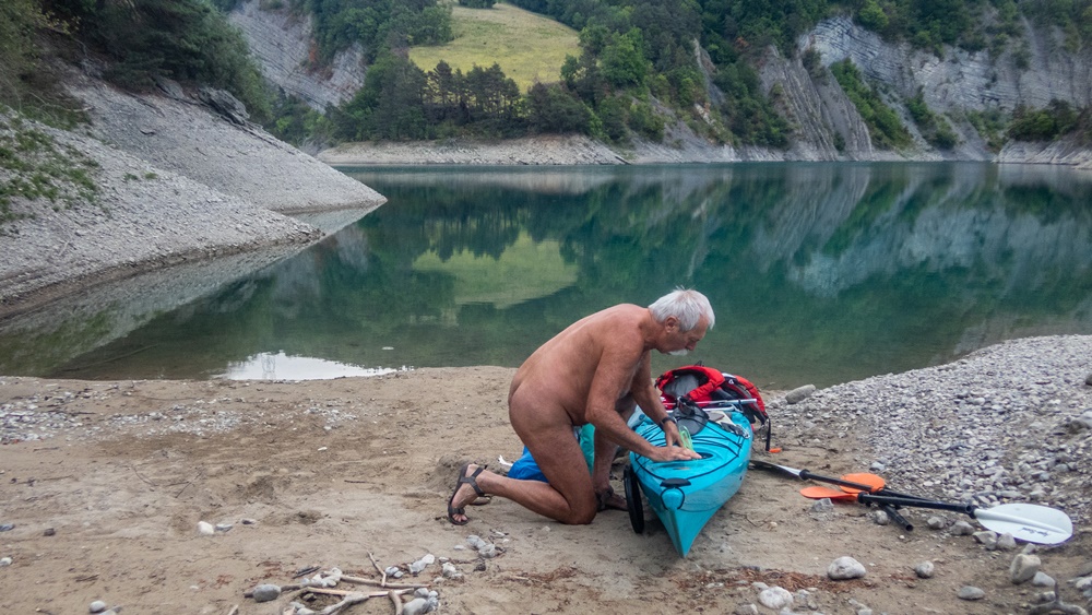
Retour pour un nouveau bivouac au lac du Sautet. Comme l’année dernière je commence par une navigation jusqu’au bout du lac, à l’embouchure du torrent de la Souloise. Je suis parti plus tôt, je me pose donc pour un pique nique puis rejoint la crique visitée l’année précédente. Mais cette année le niveau de l’eau est plus haut. L’endroit où je m’étais posé est inaccessible, je me glisse donc à travers une végétation à moitié noyée vers une plage de galet. J’établis mon campement un peu plus haut, hors de vue du lac. Une fois installé, je pars en exploration des environs…pour occuper mon temps. Repas. Je me remets à l’eau pour une petite navigation aux alentours dans l’obscurité qui tombe petit à petit. Juste pour le plaisir d’être là nu sur l’eau hors du monde ! Nuit tranquille dans le hamac, mais sans beaucoup de sommeil, il faut le dire. Petit déjeuner et démontage du camp. A 8 heures je suis sur l’eau. Mais je traîne encore, traversant ce bout du lac, longeant les rives. L’eau est comme un miroir, parfaitement calme. J’arrive à la jonction avec le bras principal du Drac. Là le vent souffle, le lac est agité de vagues. Je m’arrête pour enfiler mon gilet de secours avant la dernière traversée et rejoindre la rive et le parking.


Back for another bivouac at Lac du Sautet. Like last year, I start by paddling to the end of the lake, at the confluence of the Souloise torrent. I’d left early, so I stop for a picnic and then head back to the creek I’d visited the previous year. But this year the water level is higher. The spot where I had landed is inaccessible, so I slip through half-drowned vegetation to a pebble beach. I set up camp a little higher up, out of sight of the lake. Once set up, I set off to explore the surrounding area…to occupy my time. Lunch. I get back in the water for a little navigation in the darkness that is gradually falling. Just for the pleasure of being there, naked on the water, out of this world! Quiet night in the hammock, but not much sleep, it has to be said. Breakfast and dismantling of the camp. By 8 a.m. I’m on the water. But I’m still lingering, crossing this end of the lake, skirting its shores. The water is like a mirror, perfectly calm. I reach the junction with the main branch of the Drac. Here the wind blows and the lake is churned by waves. I stop to put on my lifejacket before the final crossing, and make my way back to the shore and the parking lot.


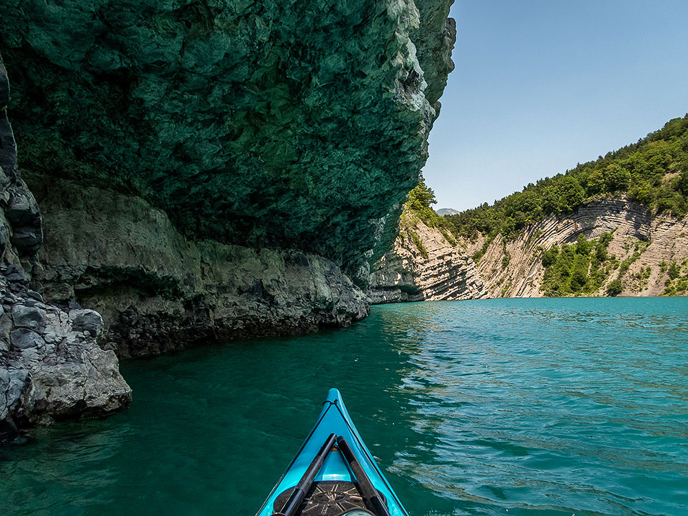
J’aime bien ce lac du Sautet, pas très grand mais si beau dans sa branche de la Souloise, un ruisseau qui l’arrose, avec un défilé de roches sculptées par l’eau et le vent. J’y suis déjà venu trois fois cette année et pour la quatrième j’innove avec un bivouac sur ses rives.

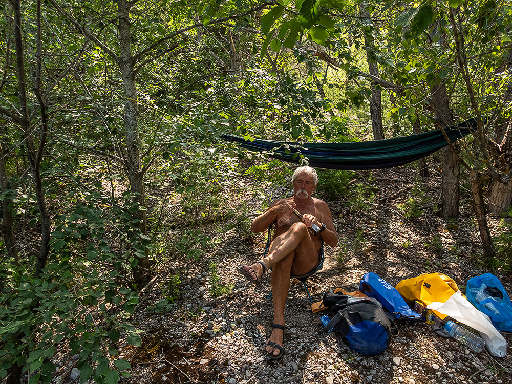
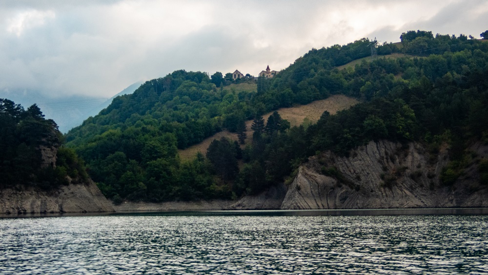
Départ tardif à treize heures passées. Je ne suis pas pressé. Un bon petit vent souffle. Je remonte tranquillement jusqu’à rejoindre le bout du lac, là où la Souloise se déverse. Demi tour. Je longe la rive cherchant le coin qui va m’accueillir pour la nuit. Il faut côte à côte une plage pour poser le kayak et des arbres pour accrocher mon hamac. Une large crique fait l’affaire. Je débarque le matériel et m’installe. L’après midi se passe, repos, lecture, exploration des environs proches. Un bateau à moteur vient mouiller à proximité pour la baignade d’enfants, mais il ne reste guère. La lumière baisse. Je regarde les couleurs changer sur le lac. Je fais chauffer mon repas puis je me glisse dans le hamac et mon duvet. L’obscurité est complète, aucune pollution lumineuse ni sonore, à part les cloches de l’église du village perché au dessus du lac qui sonnent toutes les heures. Mais qui ne m’empêchent pas de m’endormir d’un sommeil un peu haché, c’est que je n’ai plus tellement l’habitude de dormir en hamac. Au milieu de la nuit je me lève pour aller admirer la voie lactée. Au matin, le ciel si dégagé et brillant d’étoiles la nuit est obstrué de lourds nuages. J’espère qu’il ne va pas pleuvoir ! Mais le vent d’hier est complètement tombé. Je ne tarde pas à démonter le camp et à recharger le bateau. Sur l’eau je croise un autre pagayeur matinal en Sup. A huit heures et quelques, en ayant renfiler un maillot juste avant, je suis à terre.


I like this lake of Sautet, not very big but so beautiful in its branch of the Souloise, a stream which waters it, with a succession of rocks sculpted by the water and the wind. I already came there three times this year and for the fourth time I innovate with a bivouac on its banks.
Late departure at 1 pm. I am not in a hurry. A good little wind blows. I go up quietly until I reach the end of the lake, where the Souloise river flows. Half turn. I go along the bank looking for the corner which will welcome me for the night. I need a beach to put the kayak and trees to hang my hammock. A wide creek does the trick. I unload the equipment and settle down. The afternoon is spent resting, reading, exploring the nearby surroundings. A motorboat comes to anchor nearby for the children to swim, but it does not stay much. The light is getting dimmer. I watch the colors change on the lake. I heat up my meal then I slip into the hammock and my sleeping bag. The darkness is complete, no light or sound pollution, except for the church bells of the village perched above the lake which ring every hour. But that doesn’t prevent me from falling asleep with a bit of a choppy sleep, because I’m not used to sleeping in a hammock anymore. In the middle of the night I get up to admire the Milky Way. In the morning, the sky so clear and shining with stars at night is obstructed by heavy clouds. I hope that it will not rain! But the wind of yesterday has completely fallen. I quickly dismantled the camp and reloaded the boat. On the water I cross another morning paddler in Sup. At eight o’clock and a few hours, having put on a swimsuit just before, I arrived on land.

Séjour à Cervières

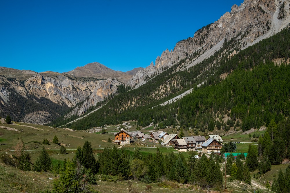
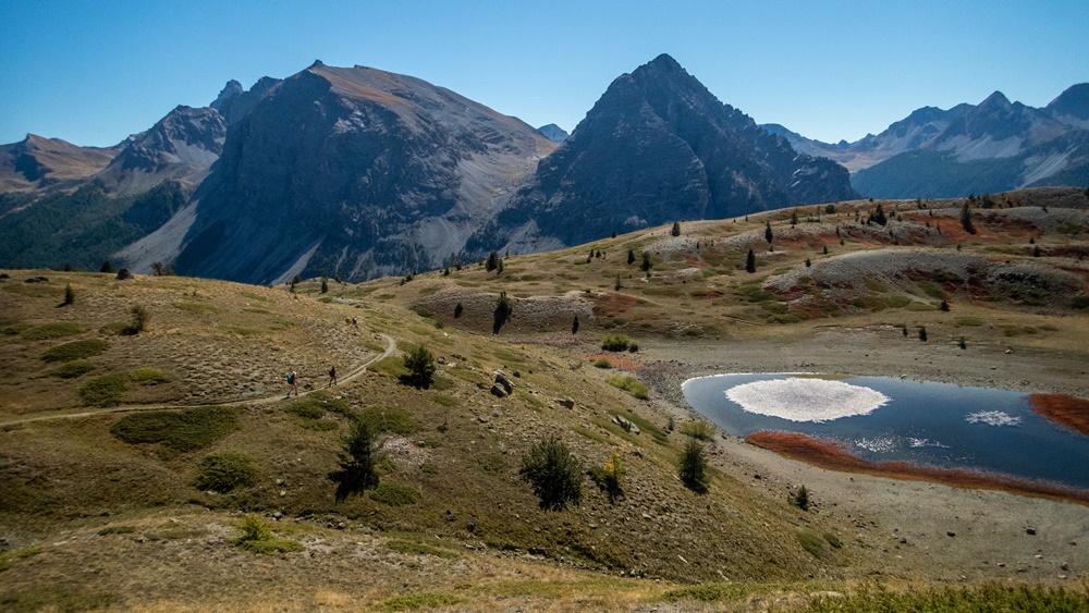
Cette année, le séjour automnale organisé par Bruno et l’association Rsvnat s’est déroulé fin septembre en bordure du massif du Queyras, à partir d’un gîte situé dans le hameau des Laus du village de Cervières. On a eu la chance d’une météo exceptionnelle, beau temps tout au long de la semaine avant un renversement et la pluie le jour du départ.

Nous étions onze venus des quatre coins de la France et même de Suisse et d’Allemagne.

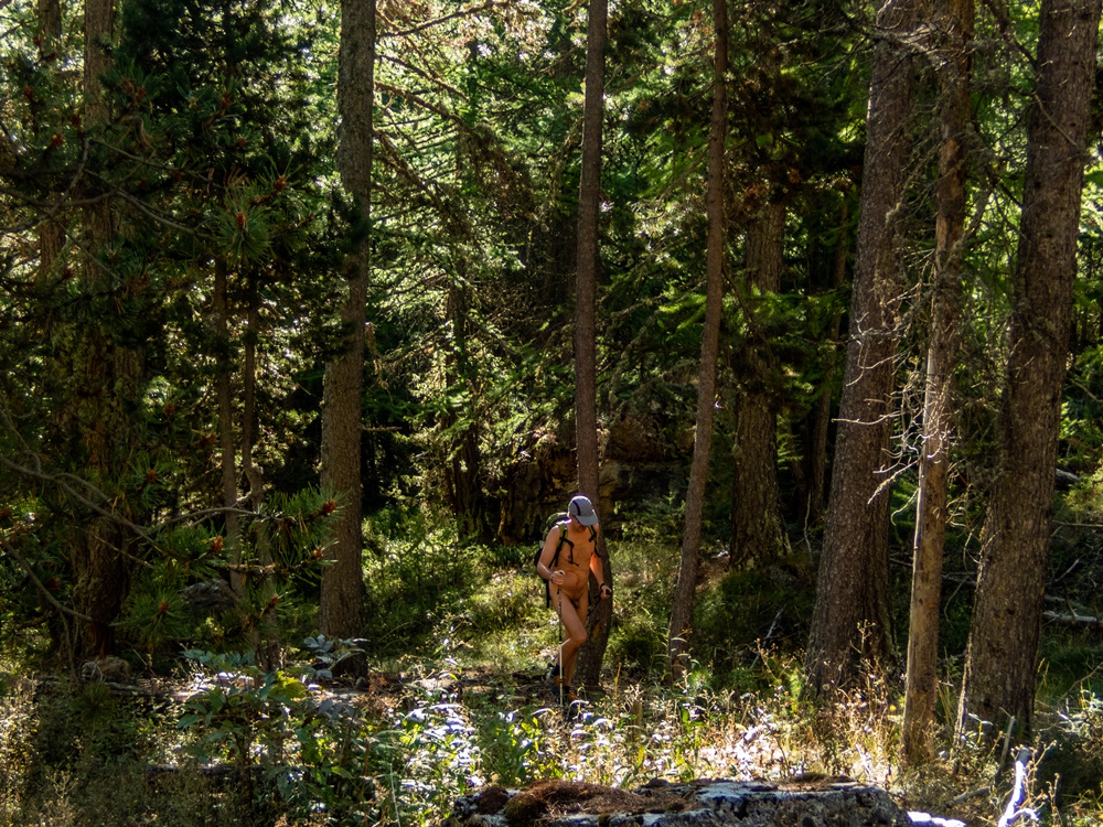
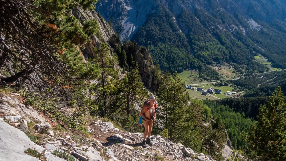
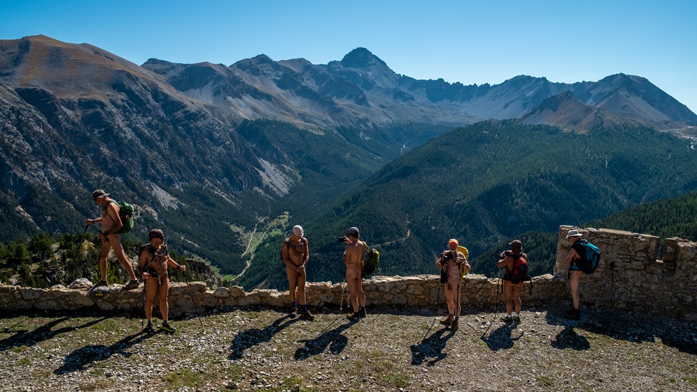
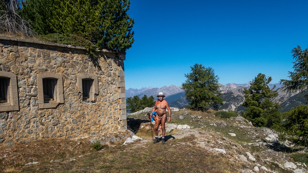
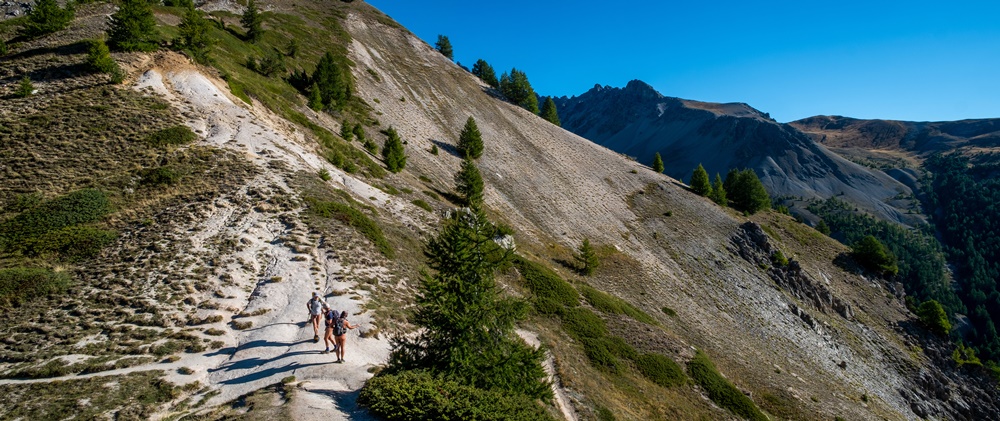
Le dimanche, départ directement à pied du gîte pour monter au fort de la Lausette. Dès qu’éloigné des maisons du hameau tout le monde se déshabille. D’abord en forêt le sentier grimpe ensuite en lacets raides pour franchir la falaise rocheuse avant de retrouver un cheminement plus doux pour atteindre l’ancien fort. Un bâtiment carré recouvert de végétation, quelques murs et des vestiges d’affûts de canons témoignent de la présence militaire dans cette région frontalière avec l’Italie. Pour le retour la possibilité d’une boucle par un autre sentier est possible, mais un panneau indiquant un passage difficile et un chemin pouvant être dégradé est planté à la bifurcation. « Ça passe » nous dit un randonneur qui surgit à ce moment là puis s’éloigne rapidement. Ça passe effectivement pour ceux qui ont le pied sûr et ne craignent pas le vertige. Le groupe se divise donc en deux.

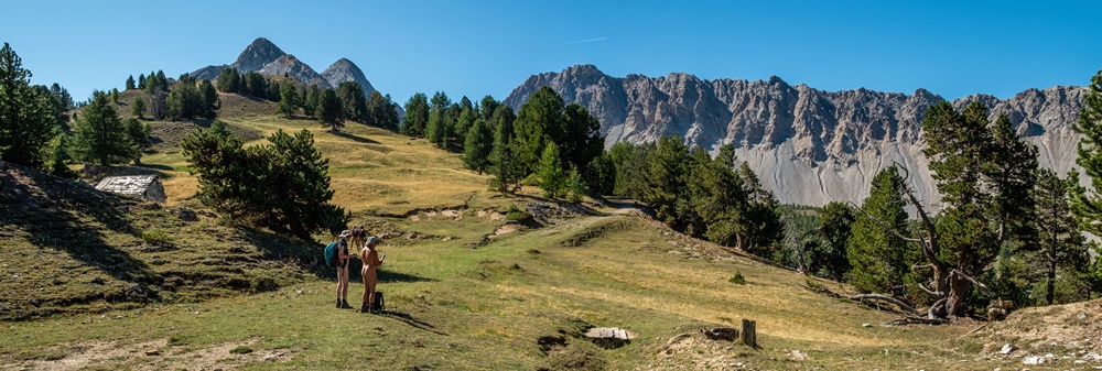
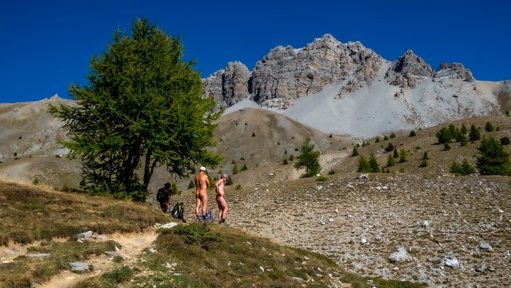
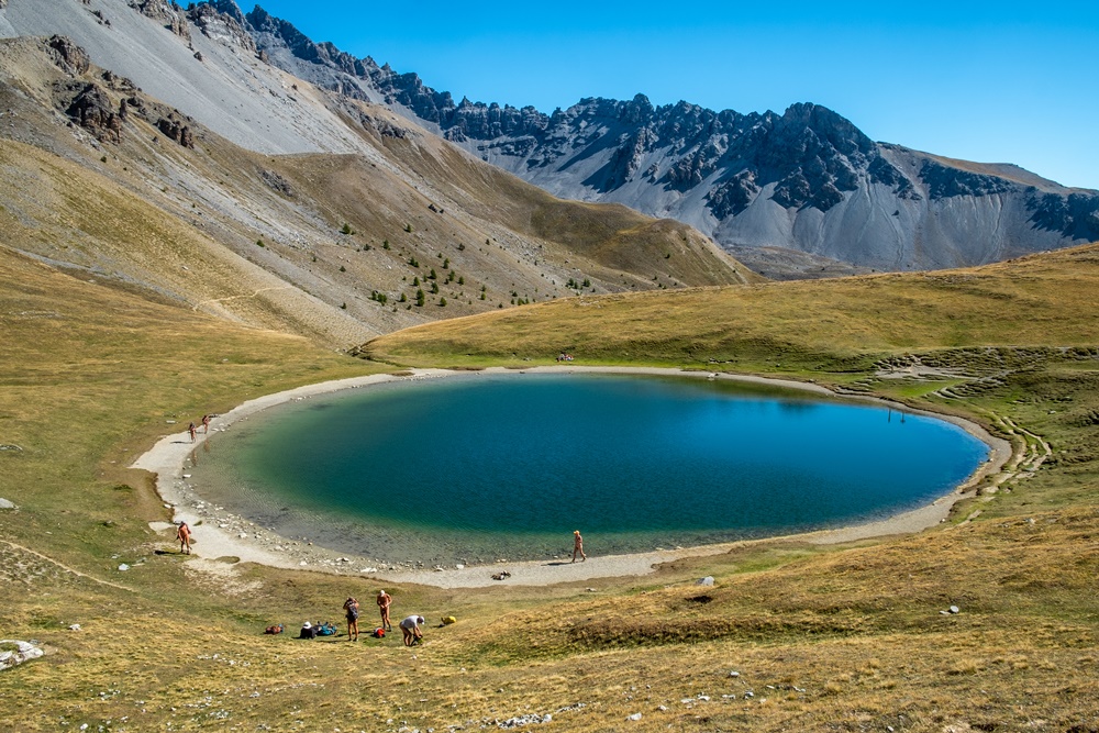
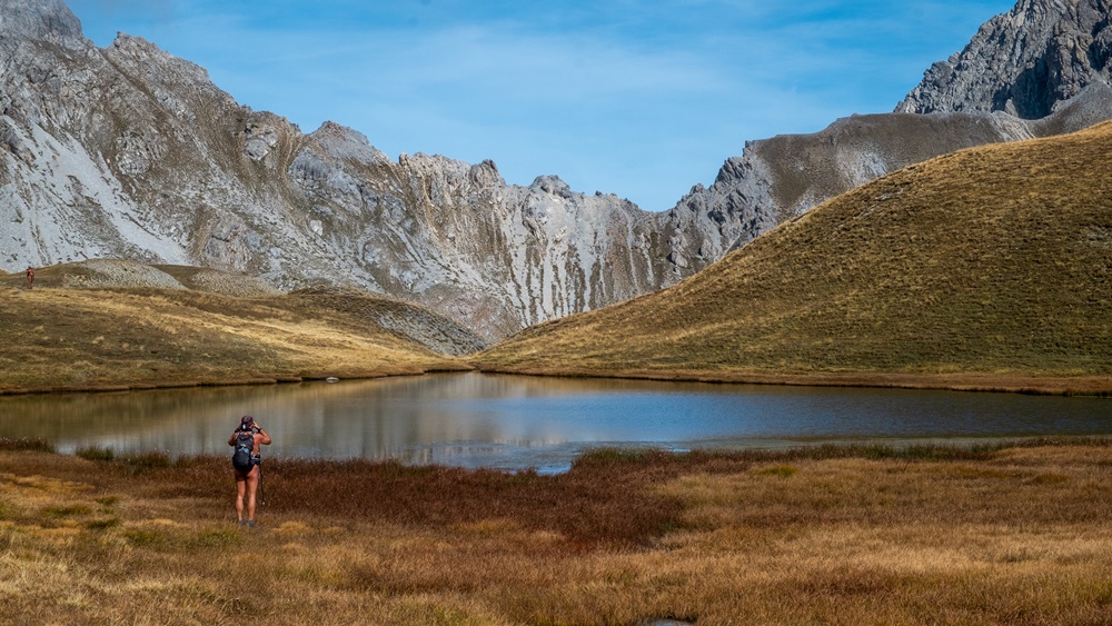
Lundi, on part de la vallée perchée des Fonts de Cervières. Marche d’échauffement, habillés, entre les deux derniers hameaux du vallon au milieu d’un troupeau de vaches. Aux Fonts, c’est le rassemblement des moutons qui reviennent d’alpage. On se déshabille dès la première grimpette du sentier. Paysage de reliefs arrondis couverts de prairie alpine brune et rase.On croise trois randonneurs qui descendent. « Chacun son délire » dit l’une d’elles. Plus haut au col des Marsailles, quatre autres sont bien plus souriants, mais préviennent. « De l’autre coté, ça souffle et il fait froid ! » Pause casse croûte à l’abri du vent. On contourne le petit lac des Maîts avant de se poser sur la rive du lac des Cordes, et même pour certains de se baigner…enfin, se tremper. Un couple est assis sur la rive opposée, un autre avec un enfant est un peu à l’écart derrière nous. En repartant on croise un berger et son chien « Bonjour – bonjour ». Un passage câblé dans une faille de rochers donne un peu de piquant à la descente.

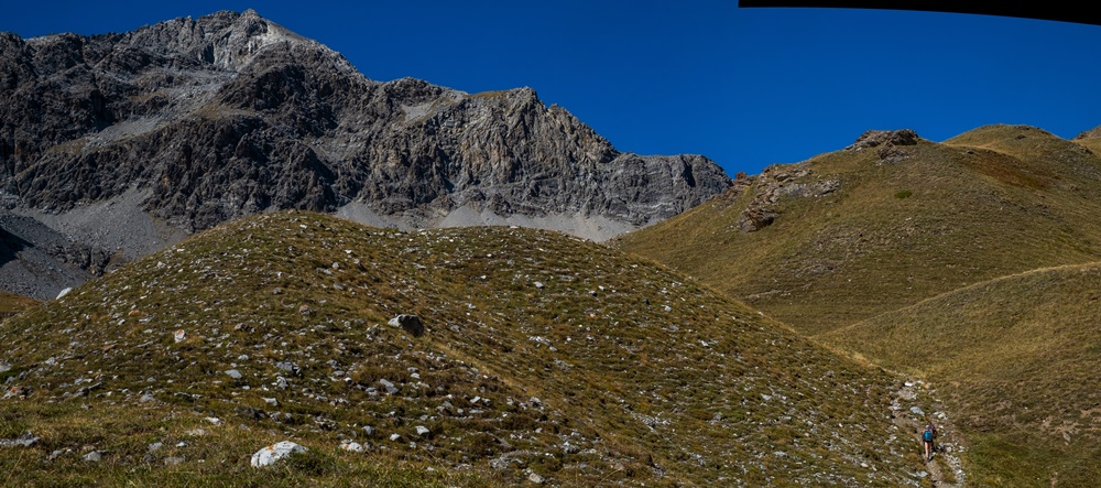
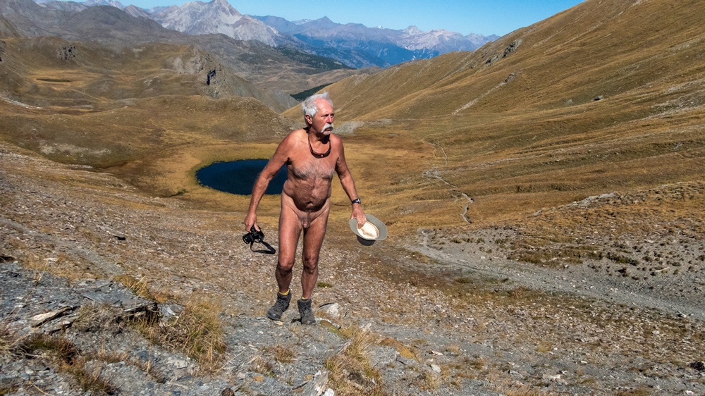
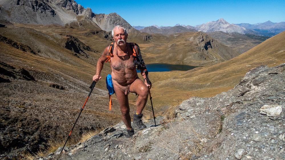
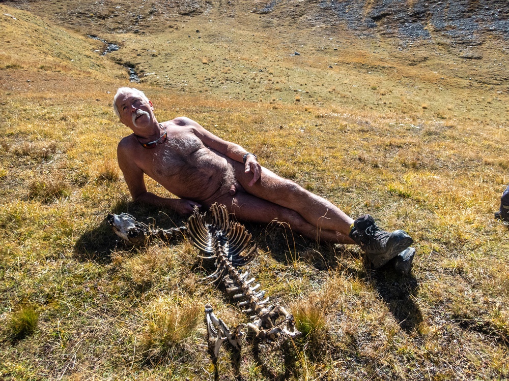
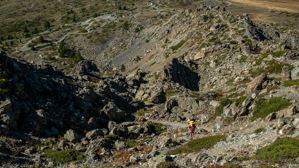
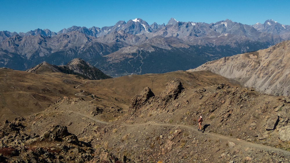
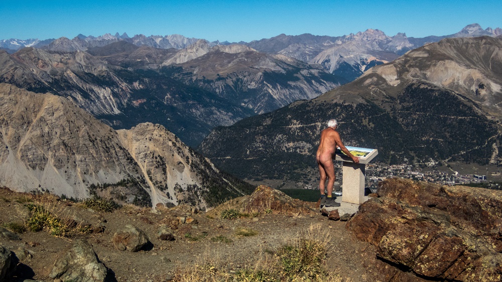
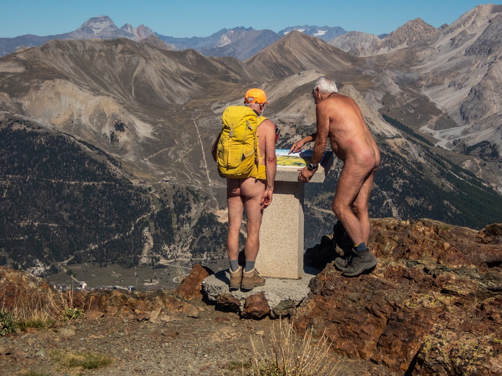
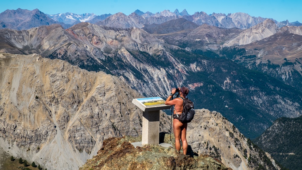
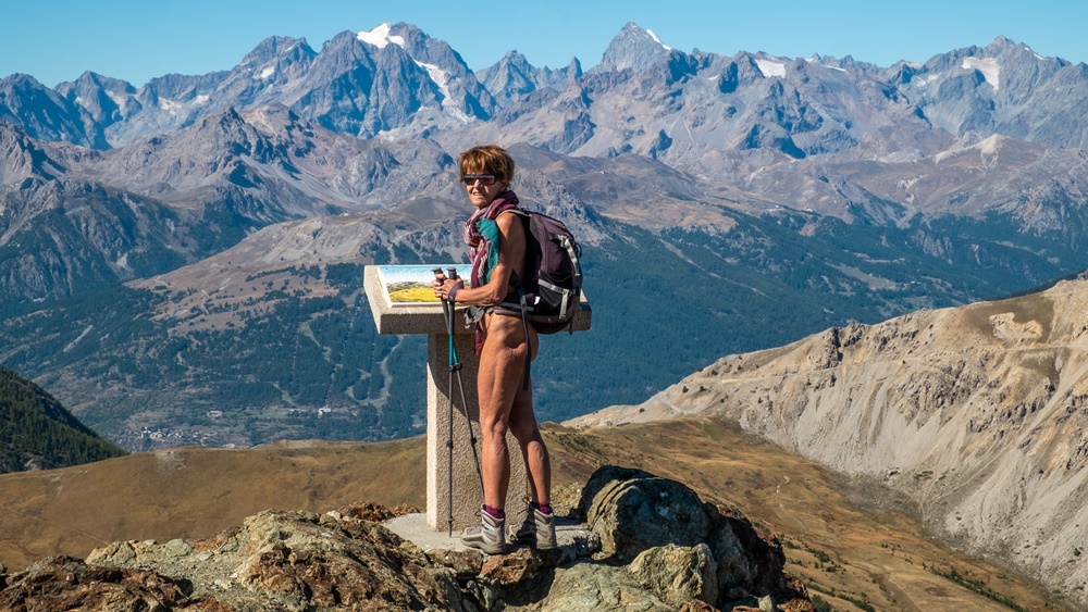
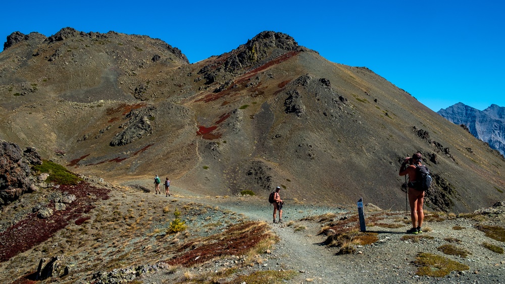
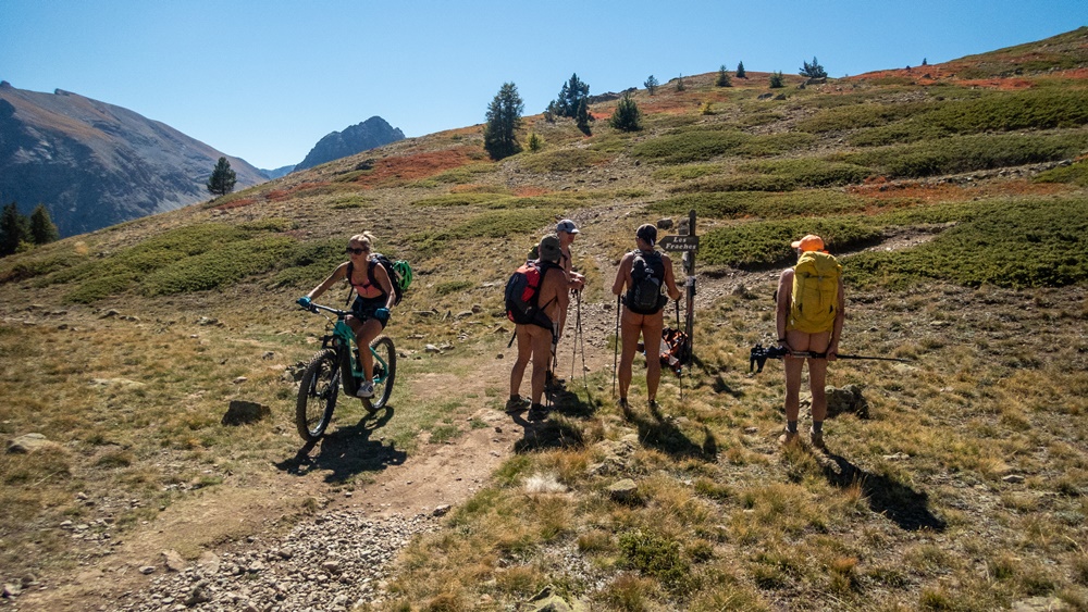
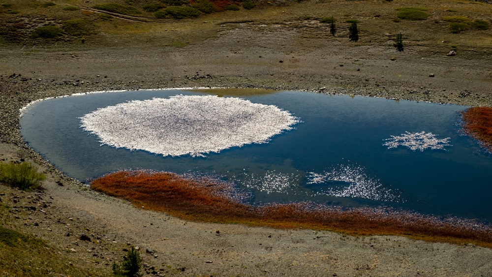
Mardi, l’objectif du jour est le sommet du Chenaillet à 2650 mètres d’altitude. Départ du parking juste avant le hameau de la Chau. A proximité du resplendissant petit lac des Sarailles, on croise une randonneuse. Échange de quelques mots. Plus haut sur un replat, c’est tout une classe de jeunes filles en sortie géologie qui passe. Les premiers se sont couverts sommairement ce qui a provoqué des rires. Le groupe s’est installé sur un rocher à l’écart du chemin, on peut passer sans risque. Le paysage devient très minéral. Roche noire d’origine volcanique. Nous sommes sur un sentier de découverte géologique bien aménagé avec des balises régulières et des panneaux d’explication. Au sommet, trois tables d’orientation sur un panorama à 360°. La station de Montgenèvre est à nos pieds. Nous sommes seuls et profitons pleinement des paysages alentours. Dans la descente par le petit et bien maigre lac Noir, deux vététistes nous croisent. Plus bas, au dessus du hameau déserté en ruine des Fraches, c’est un couple de promeneurs avec un chien. On s’arrête pour échanger quelques mots. Retour à La Chau et aux voitures.

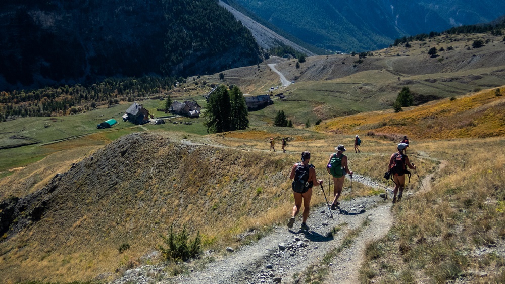
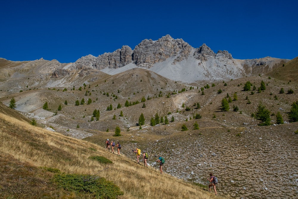
Mercredi. Changement de vallée. On franchit le col de l’Izoard et sa Casse Déserte. Le chemin démarre en face du parking touristique. A l’ombre dans la forêt, il fait encore un peu frais. Deux jeunes femmes avec des chiens passent. On les avertit « Vous risquez de nous voir nus dès qu’il fera un peu plus chaud. » Ça les fait rire. A la prochaine bifurcation, alors qu’on s’est effectivement déshabillé, elles partent sur la gauche alors que notre chemin vers le col du Troncher nous mène de l’autre côté. Au col un joli sentier en lacets plonge vers le fond de la vallée. Trois cent mètres de descente qu’il va falloir ensuite remonter par un chemin qui grimpe dru entre herbe et caillasse jusqu’à déboucher au bord du lac de Souliers. Les plus vaillants font l’ascension de la Crête de Coste Belle. Des groupes, des couples passent, s’installent sur l’autre rive du petit lac, repartent. Tous sont plutôt chaudement vêtus, pantalons long, manches longues. Notre tenue détonne mais sans remarques. Un randonneur s’approche pour discuter. Il est naturiste de plage mais n’a jamais essayé en rando. Il semble bien connaître le coin et s’assied pour échanger sur les itinéraires et les sommets des alentours. Rhabillage, après quelques autres rencontres, en vue du parking.

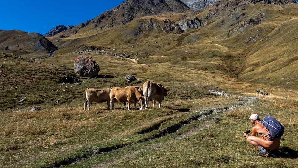
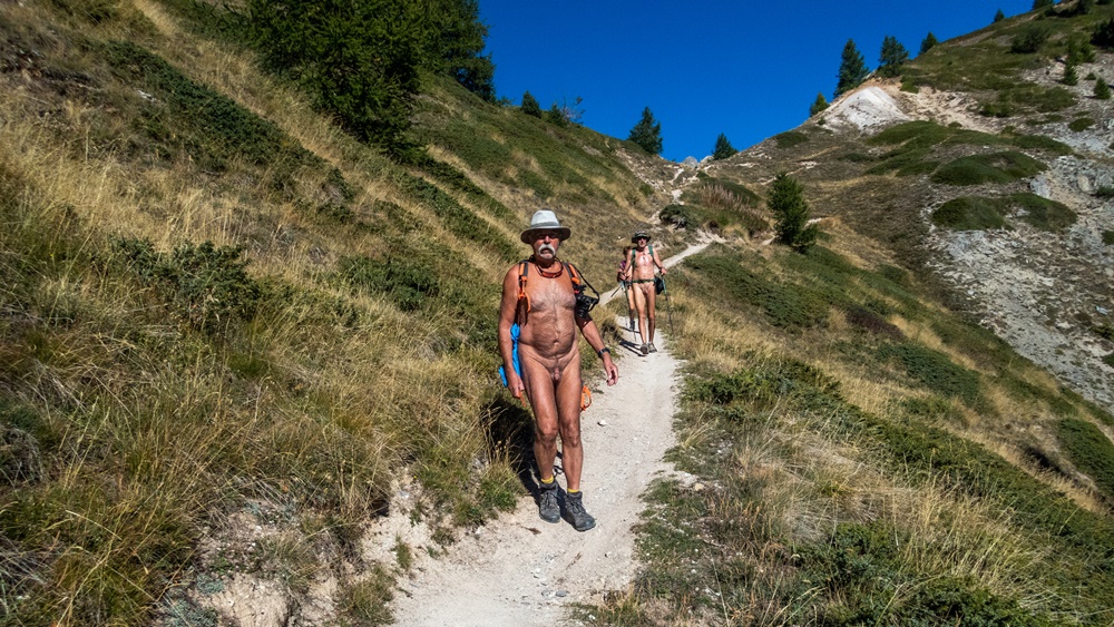
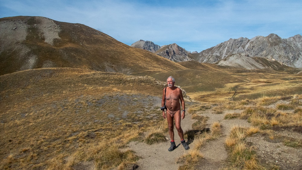
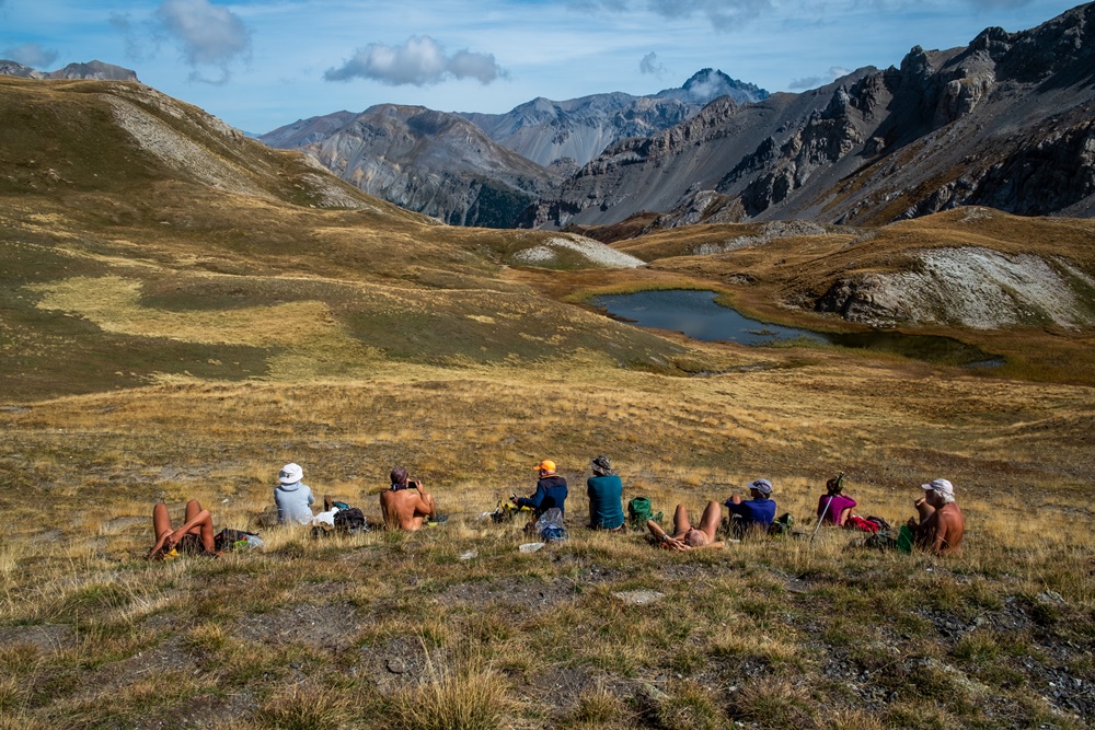
Jeudi. Retour à la vallée des Fonts de Cervières. Pour débuter nous prenons le même itinéraire que lundi, puis nous obliquons pour rejoindre le col de Péas, juste au pied des aiguilles sombres du Pic de Rochebrune. Du col nous continuons un peu. Certains montent au Sommet du Grand Vallon. Pour ma part je reste à faire des photos sur une petite langue de roche volcanique noire qui domine le paysage d’herbe brune que nous avons emprunté pour monter. Contraste des formes et des couleurs. A la descente on croise un vététiste, chargé, qui va pousser son vélo pour rejoindre le col et descendre de l’autre côté. On s’encourage mutuellement avec le sourire. Plus bas quatre personnes assez âgées. « On ne vous gêne pas ? » – « On en a vue d’autre dans la vie ! ». Trois autres arrivent . « Mais c’est interdit » dit la femme avec le sourire. « Ce n’est pas si simple, répond son mari, la loi interdit l’exhibition sexuelle, mais ce n’est pas le cas » et la femme reprend « Vous connaissez sans doute le camping de Ferreyrolles sur la Ceze » Manifestement le naturisme, ils connaissent.

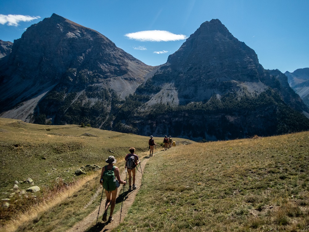
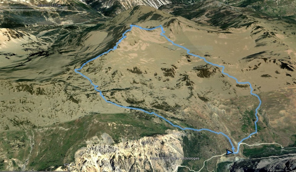
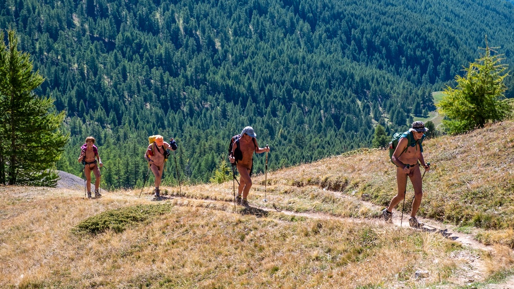
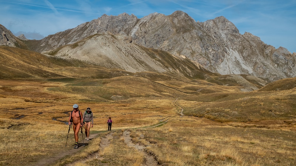
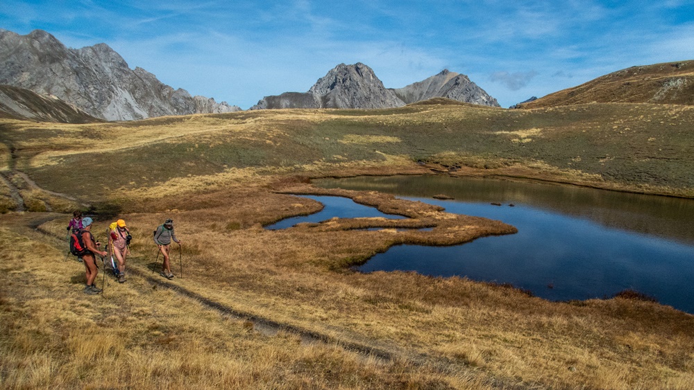
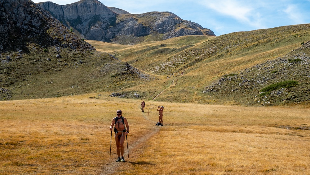
Vendredi, dernière rando de la semaine, au départ d’un parking sur une route forestière au dessus du village de Brunissard, de l’autre coté du col de l’Izoard. A notre arrivée le parking est déjà plein. On se dit qu’on risque de rencontrer du monde. Le cheminement commence par une large piste. De façon surprenante, personne devant, personne derrière, les vêtements tombent. On traverse les hameaux d’alpage, presque déserts, de Drataya et Clapeyto, sans même se couvrir. L’itinéraire serpente entre les buttes d’herbes jaunies et les lacs et marais du Cogoul jusqu’au col de Néal, où l’on se pose à l’abri du vent pour le repas. Deux randonneurs s’arrêtent en contrebas. Ce sont ceux qui partaient en même temps que nous du parking et que l’on avait prévenu qui ont fait la boucle en sens inverse. Au moment de repartir, on croise un couple qui s’étonne de notre capacité à tenir dans le vent. On les reverra plus bas. Tout un groupe marche en avant de nous, mais comme ils vont lentement, on les rattrape. « Vous n’avez pas trop chaud ? -Et vous pas froid ? » Mais en groupe organisé, encadrés par un accompagnateur de montagne, on les sent plutôt défavorables. On passe vite et on s’éloigne. Plus bas on retrouve le couple croisé précédemment avec qui on peut échanger plus sereinement et avec qui on fait un bout de descente. Finalement, on arrive nus au parking qui est maintenant pratiquement vide.

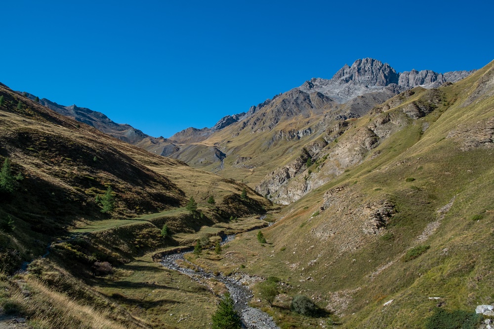
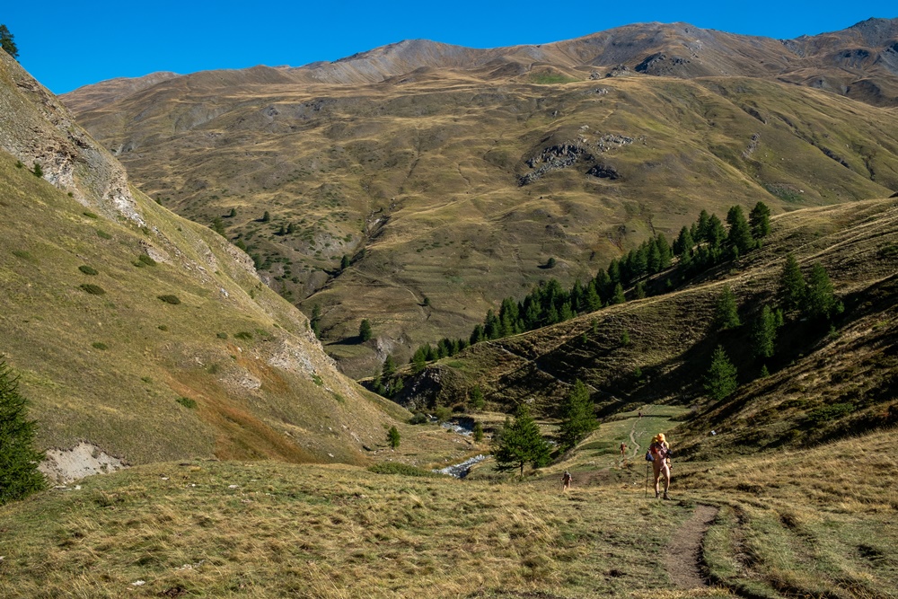
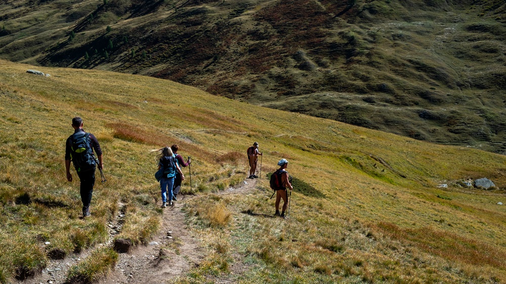
Une belle semaine de randonnées, avec au total 60 km et 4100 mètres de dénivelé parcourus qui montre à travers les rencontres que l’acceptation de la nudité en montagne fait des progrès.


This year, the autumnal stay organized by Bruno and the Rsvnat association took place at the end of September on the borders of the Queyras massif, from a gite located in the hamlet of Laus in the village of Cervières. We were lucky to have exceptional weather, good weather all week long before a reversal and rain on the day of departure.

We were eleven people coming from all over France and even from Switzerland and Germany.

On Sunday, we left directly from the gite to climb to the Lausette fort. As soon as we were far from the houses of the hamlet, everybody undressed. First in the forest, the path climbs steeply to cross the rocky cliff before finding a gentler path to reach the old fort. A square building covered with vegetation, some walls and the remains of cannon mounts testify to the military presence in this region bordering Italy. For the return trip, the possibility of a loop by another path is possible, but a sign indicating a difficult passage and a path that can be damaged is planted at the fork. A hiker who appears at this point and then quickly moves away tells us « It’s okay ». It’s okay for those who are sure-footed and not afraid of heights. The group thus divides in two.

Monday, we begin from the perched valley of Fonts de Cervières. Warm-up walk, dressed, between the last two hamlets of the valley in the middle of a herd of cows. At the Fonts, it is the gathering of the sheep which return from mountain pasture. We undress as soon as the first climb of the path. The landscape of rounded reliefs covered with brown alpine meadow and rase. We meet three hikers who are going downhill. « Each one of us has his own fantasy » says one of them. Higher up at the Marsailles pass, four others are much more smiling, but warn. « On the other side, it blows and it’s cold! Break for a snack sheltered from the wind. We go around the small lake of Maîts before landing on the bank of the lake of Cordes, and even for some to bathe… well, to soak. A couple is sat on the opposite bank, another with a child is a little apart behind us. While leaving we cross a shepherd and his dog  » Hello – hello « . A passage cabled in a fault of rocks gives a little spice to the descent.

Tuesday, the objective of the day is the summit of Chenaillet at 2650 meters of altitude. Departure from the parking just before the hamlet of La Chau. Near the resplendent small lake of Sarailles, we cross a female hiker. Exchange of some words. Higher on a flat, it is a whole class of young girls in geology outing which passes. The first ones covered themselves summarily what provoked laughter. The group settled on a rock away from the path, we can pass without risk. The landscape becomes very mineral. Black rock of volcanic origin. We are on a path of geological discovery well arranged with regular markers and panels of explanation. At the top, three orientation tables on a 360° panorama. The resort of Montgenèvre is at our feet. We are alone and enjoy the surrounding landscapes. In the descent by the small and very thin Black Lake, two mountain bikers cross us. Further down, above the deserted ruined hamlet of Les Fraches, it is a couple of walkers with a dog. We stop to exchange some words. Return to La Chau and to the cars.

Wednesday. Change of valley. We overcome the pass of Izoard and its Casse Déserte. The way starts in front of the tourist parking. In the shade in the forest, it is still a little fresh. Two young women with dogs pass. We warn them « You might see us naked as soon as it gets a little warmer. » This makes them laugh. At the next fork, whereas we undressed indeed, they leave on the left whereas our way towards the pass of Troncher leads us on the other side. At the pass a nice path in laces dives towards the bottom of the valley. Three hundred meters of descent that we will then have to climb again on a path that climbs steeply between grass and rocks until we reach the edge of the Souliers lake. The most courageous climb the Crête de Coste Belle. Groups and couples pass by, settle on the other side of the small lake, and leave again. All are rather warmly dressed, long pants, long sleeves. Our outfit contrasts but without remarks. A hiker approaches to discuss. He is a beach naturist but has never tried it on a hike. He seems to know well the area and sits down to exchange on the routes and the summits of the surroundings. Dressing, after some other meetings, in view of the parking.

Thursday. Back to the Fonts de Cervières valley. To start we take the same itinerary as on Monday, then we turn to reach the col de Péas, just at the foot of the dark needles of the Pic de Rochebrune. From the pass we continue for a while. Some of us go up to the Grand Vallon summit. For my part, I stay to take pictures on a small tongue of black volcanic rock that dominates the brown grass landscape we used to climb. Contrast of forms and colors. In the descent we cross a biker, loaded, who is going to push his bike to join the pass and to go down on the other side. We encourage each other with a smile. Further down four rather old people. « Are we not in trouble? » – « We have seen other things in life! ». Three others arrive. « But it’s forbidden » says the woman with a smile. It’s not that simple, » answers her husband, « the law forbids sexual exhibition, but it’s not the case » and the woman continues, « You probably know the campsite of Ferreyrolles sur la Ceze » Obviously naturism, they know.

Friday, last hike of the week, starting from a parking on a forest road above the village of Brunissard, on the other side of the Izoard pass. At our arrival the parking is already full. We say to ourselves that we risk to meet people. The walk begins by a wide track. In a surprising way, nobody in front, nobody behind, the clothes fall. We cross the hamlets of alpine pasture, almost deserted, of Drataya and Clapeyto, without even covering ourselves. The itinerary winds between the mounds of yellowed grass and the lakes and marshes of the Cogoul until the pass of Néal, where we settle down in the shelter of the wind for the meal. Two hikers stop below. They are those who left at the same time as us from the parking lot and that we had warned who made the loop in opposite direction. At the time to leave again, we cross a couple who is astonished by our capacity to hold in the wind. We shall see them again lower. A whole group walks in front of us, but as they go slowly, we catch up them. « You are not too hot? -And you not cold? » But in organized group, coached by a mountain leader, we feel them rather unfavorable. We pass quickly and we move away. Further down we find the couple crossed previously with whom we can exchange more serenely and with whom we make a part of descent. Finally, we arrive naked to the parking which is now practically empty.

A beautiful week of hikes, with a total of 60 km and 4100 meters of difference in altitude which shows through the meetings that the acceptance of the nudity in mountain makes progress.
La Jarjatte

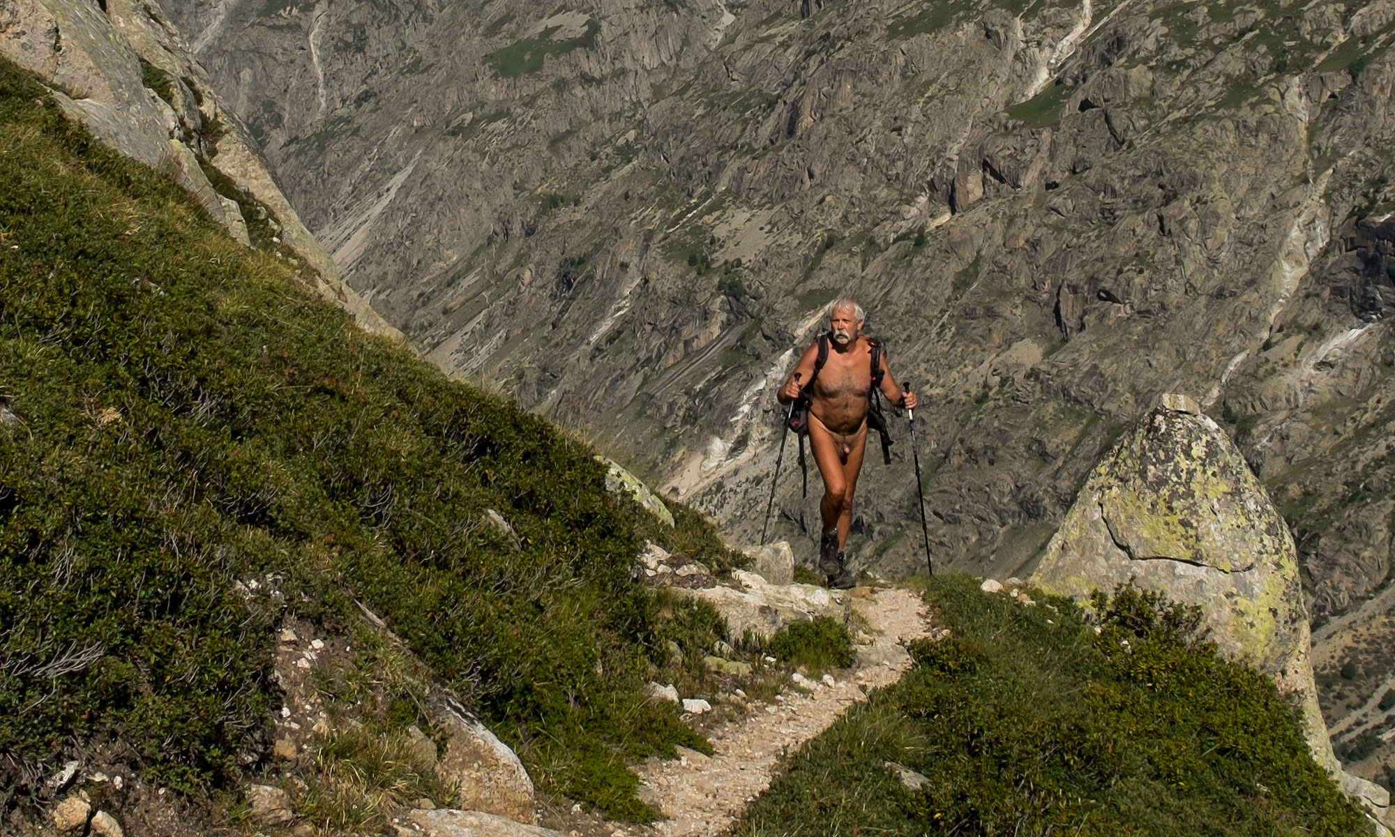
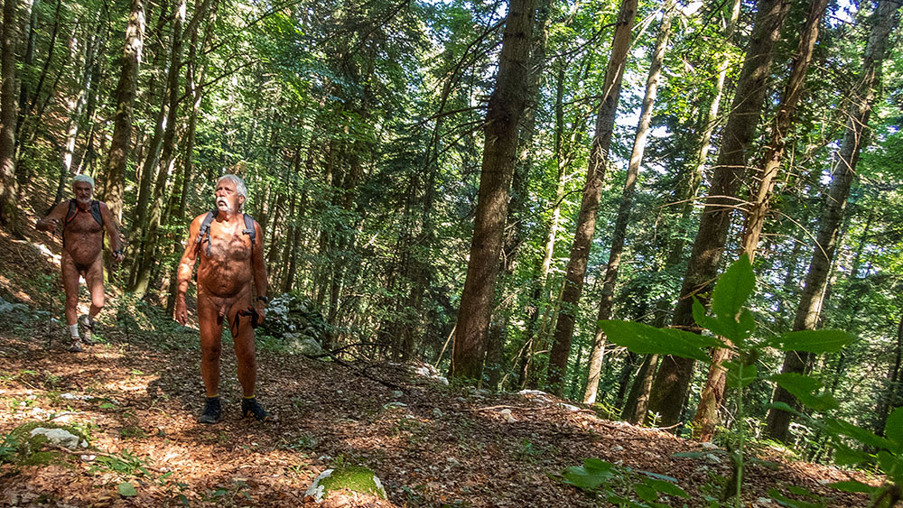
L’association des Marcheurs Nus du Val de Roanne s’est récemment vu confier la gestion du balisage d’une deuxième portion du GR 93 entre le hameau des Amayères à Lus la Croix Haute et le col du Charnier, sur le versant Dévoluy de la Drôme. Je tenais à parcourir ce cheminement pour vérifier l’état du chemin et du balisage ; j’ai donc inscrit au programme de l’association cette sortie un dimanche de début septembre. Le samedi en fin d’après midi, c’est par une pluie battante que j’ai posé mon camion sur le parking de Lus. Mais les prévision météo étant tout de même optimistes, j’ai confirmé le rendez vous pour le lendemain. Pluie encore durant la nuit, soleil et ciel bleu le matin.

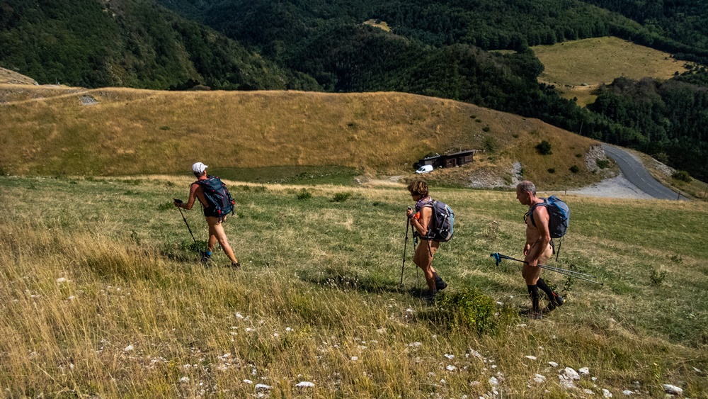
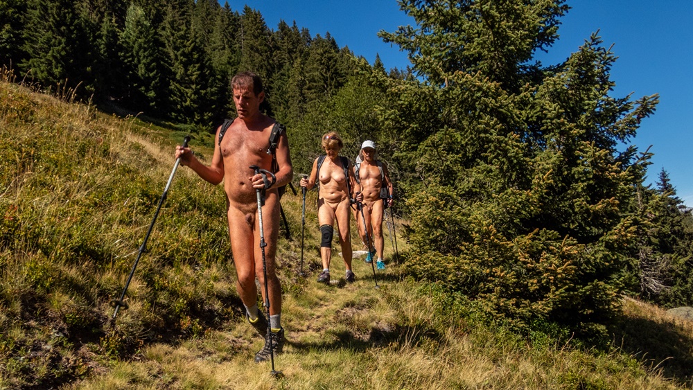
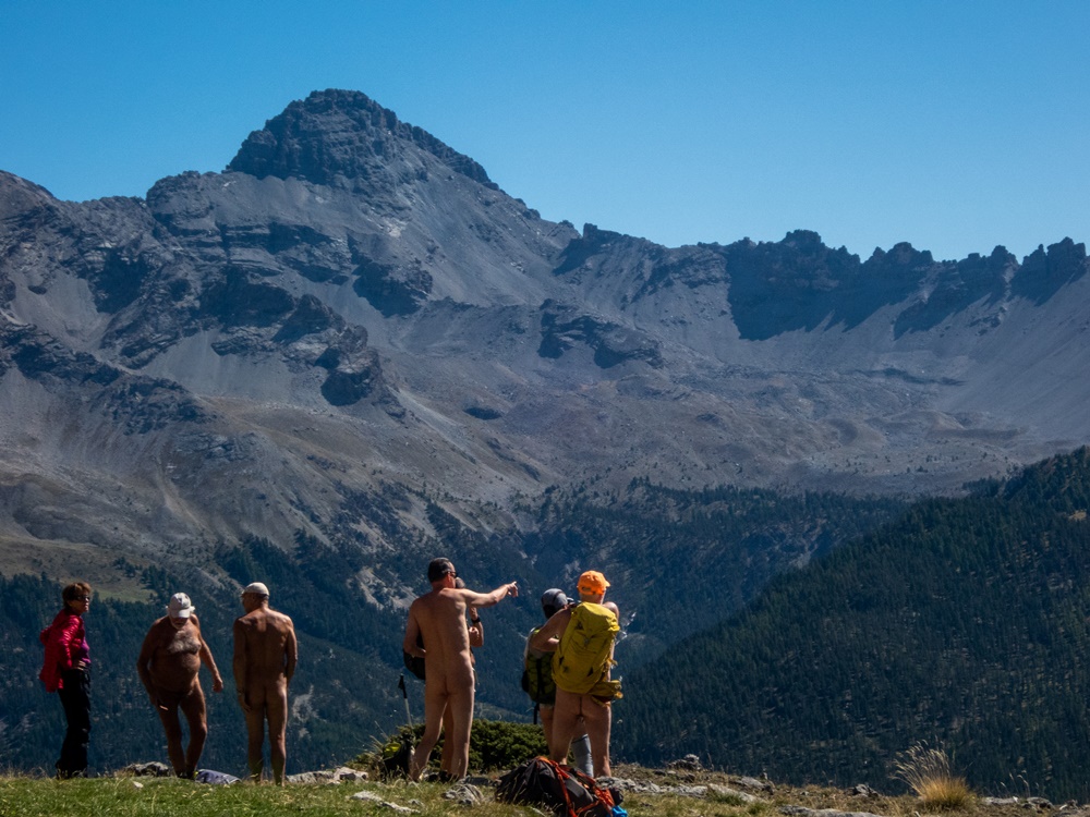
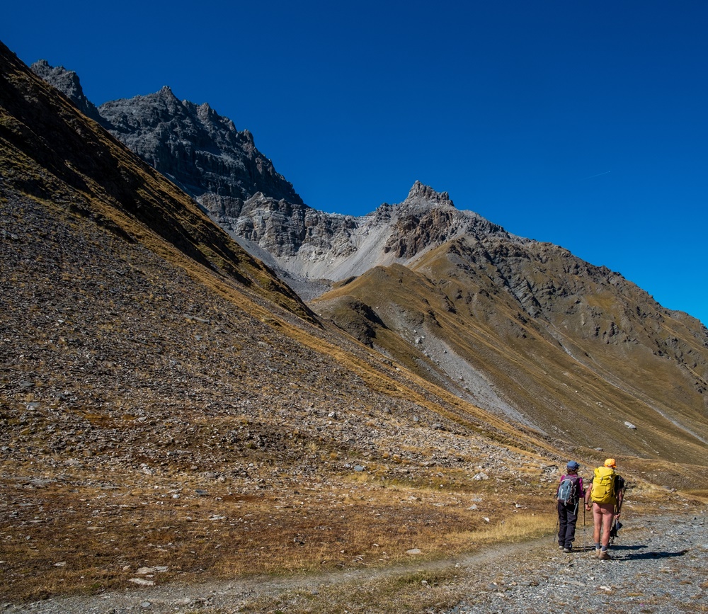
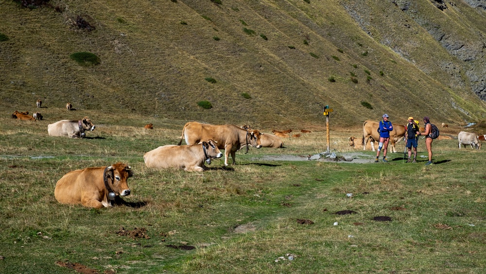
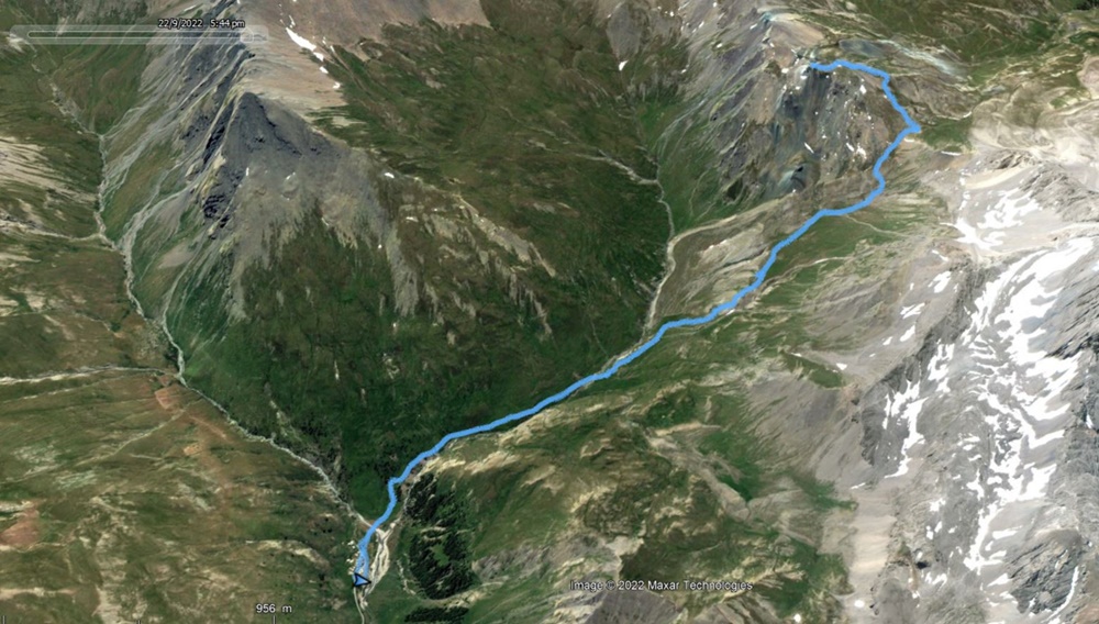
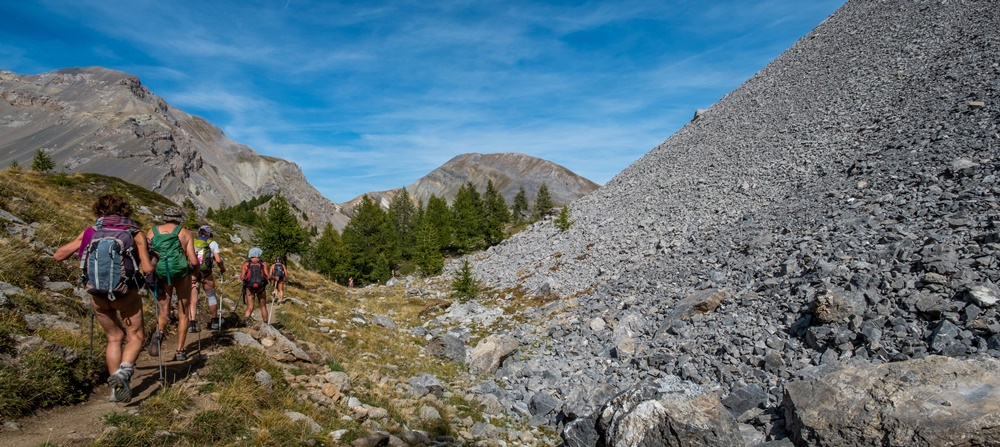
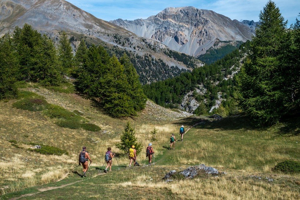
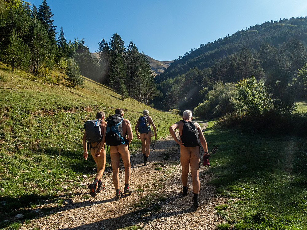
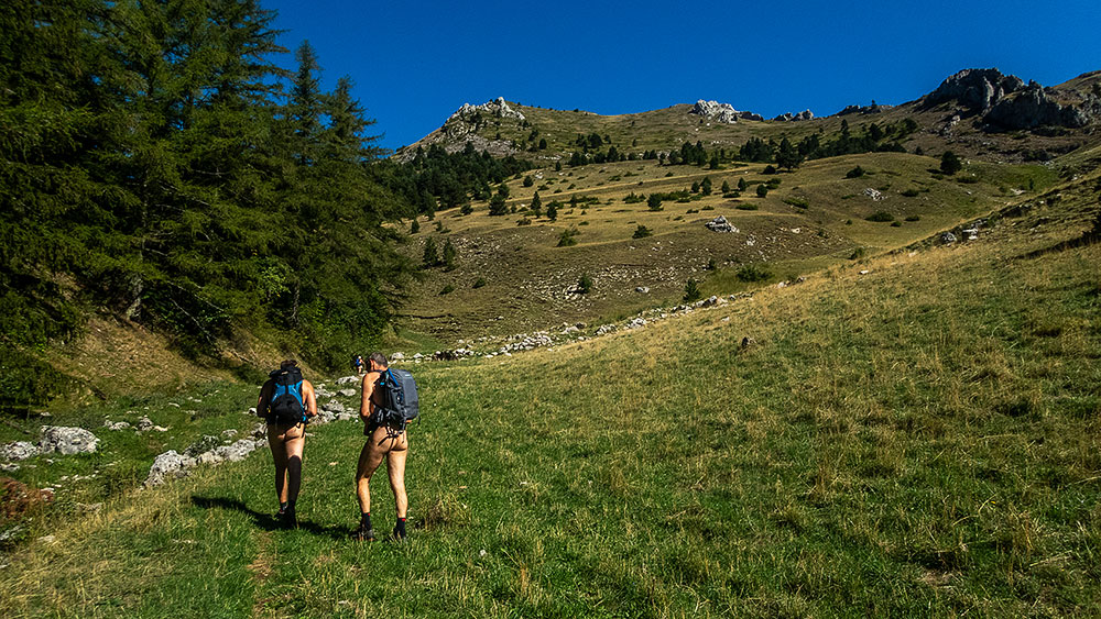
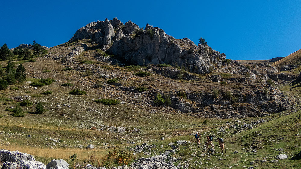
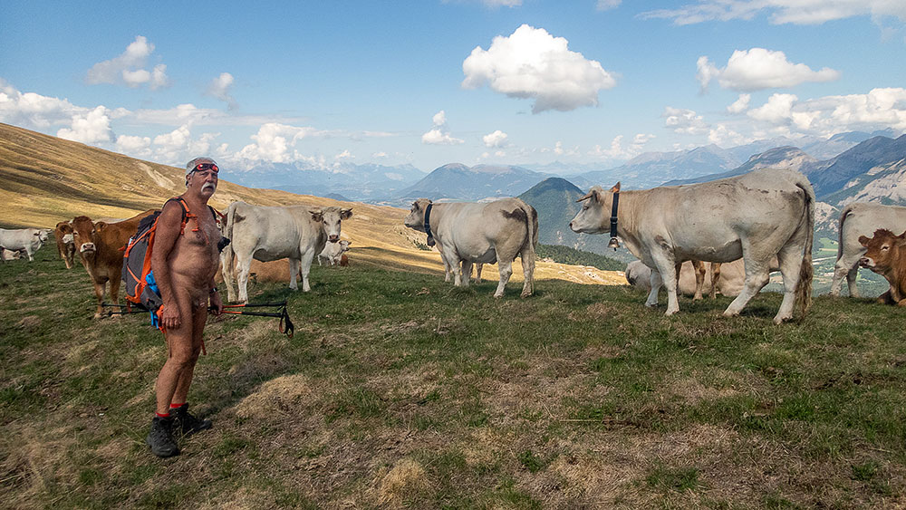
Les véhicules posés à l’arrivée, nous rejoignons le départ grâce à Babette, qui ne peut marcher mais assure la logistique. Nous sommes cinq avec Didier, Loïc, Jean Paul et Xavier, un nouveau amené par Jean Paul. Une piste s’élance dans les gorges des Amayères qui mène au pied des pentes herbeuses qui nous attendent sur quelques 600 mètres de montée sans interruption. Une bonne pente mais régulière et qui découvre les paysages alentours. Xavier peine et monte lentement, mais on a le temps et les conditions sont idéales pour marcher nus. Seule la présence de nombreuses mouches est quelque peu gênante. Deux croisements de randonneurs textiles se passent avec simplicité sans que l’on ait même songer à se rhabiller tant on est à l’aise. Arrêt pique nique avec un panorama à 360° sur le Trièves, le Grand Ferrand, les sommets du Dévoluy autour de la Jarjatte et le Vercors de l’autre côté. Une vue somptueuse ! On repart. Jean Paul et Xavier coupent dans l’alpage tandis que l’on continue sur le GR en traversant les troupeaux de vaches placides et en longeant les falaises.On se retrouve au col de la Croix pour la descente finale plus raide et caillouteuse au grand malheur de Xavier qui n’en peu plus mais qui semble prêt à recommencer une balade avec nous.


The association of Naked Walkers of the Val de Roanne was recently entrusted with the management of the marking of a second portion of the GR 93 between the hamlet of Amayères in Lus la Croix Haute and the Charnier pass, on the Dévoluy side of the Drôme. I wanted to walk this path to check the state of the path and the markings; I therefore included this outing in the association’s program on a Sunday in early September. On Saturday at the end of the afternoon, it is by a beating rain that I put my van on the parking lot of Lus. But the weather forecast being optimistic, I confirmed the appointment for the next day. Rain again during the night, sun and blue sky in the morning.

The vehicles are put down at the arrival, we join the departure thanks to Babette, who cannot walk but ensures the logistics. We are five with Didier, Loïc, Jean Paul and Xavier, a new one brought by Jean Paul. A track starts in the gorges of Amayères which leads to the foot of the grassy slopes which await us on some 600 meters of uninterrupted ascent. A good but steady slope that reveals the surrounding landscapes. Xavier suffers and goes up slowly, but we have time and the conditions are perfect to walk naked. Only the presence of numerous flies is a little annoying. Two crossings of textile hikers happen with simplicity without having even thought of getting dressed so much we are at ease. Picnic stop with a 360° panorama on the Trièves, the Grand Ferrand, the peaks of Dévoluy around the Jarjatte and the Vercors on the other side. A sumptuous view! We set out again. Jean Paul and Xavier cut in the mountain pasture while we continue on the GR by crossing the herds of placid cows and by skirting the cliffs. We join the pass of the Cross for the final descent more steep and stony to the great misfortune of Xavier who can not bear it any more but who seems ready to start again a walk with us.

Lac de la Balmette

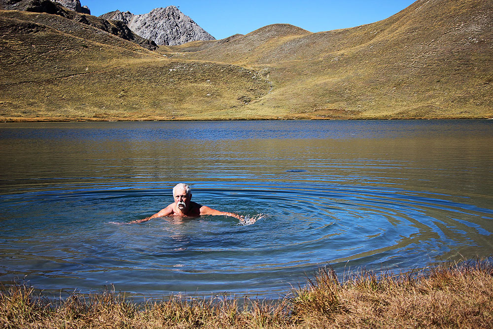
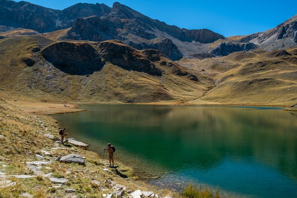
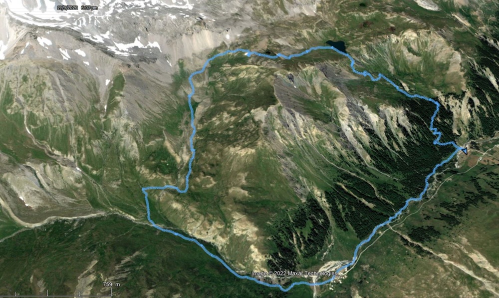
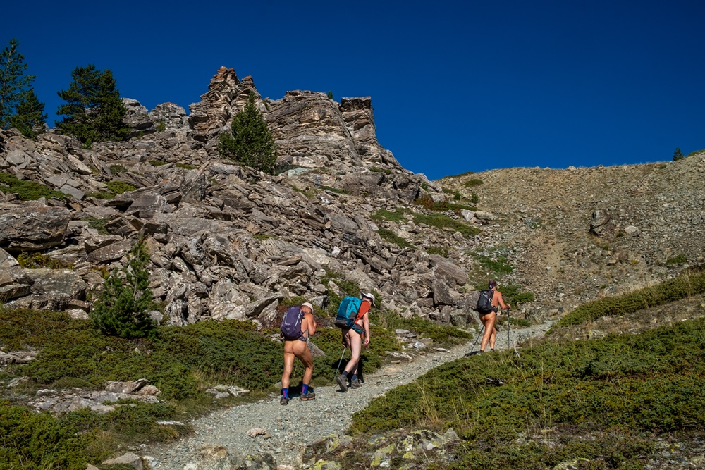
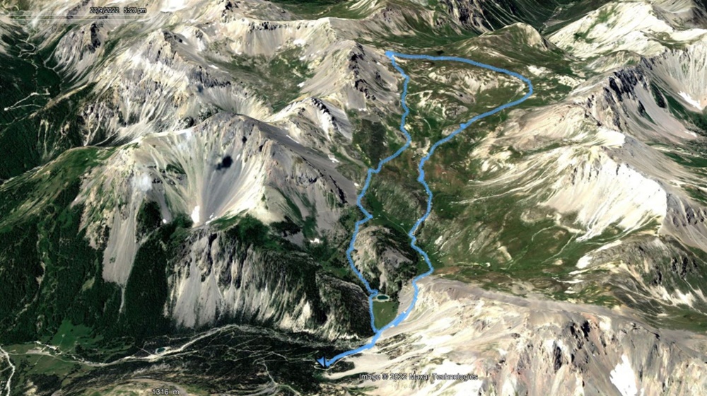
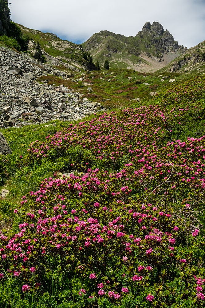
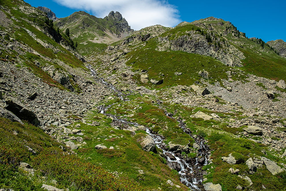
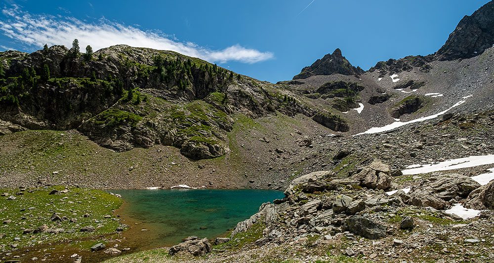
Rando avec ma compagne dans le massif de Belledonne du coté de la vallée de l’Eau d’Olle, objectif: le lac de la Balmette, moins connu que celui de Belledonne. Pas d’autre véhicule sur le parking au départ du chemin. On est vraiment tranquille. Au bout de cinq minutes, je me déshabille. Ma compagne ne me dit rien, c’est bon signe. On rate un départ de sentier et on galère quelque peu à avancer au hasard dans la pente et la végétation, mais on finit par retrouver le chemin. Qui monte en lacets dans la forêt. C’est régulier et on gagne vite de l’altitude. On passe devant un chalet inhabité. Ça continue de monter. Je remet mon short pour croiser deux randonneurs qui descendent, aperçus de loin, qui nous indiquent la possibilité d’une boucle pour éviter un aller-retour. Au dessus de la forêt, on a le spectacle des sommets environnants. Le pic de Belledonne et les pointes alentours, toutes de roches noires, en face le versant du domaine de l’Alpe d’Huez au dessus de Vaujany et Oz, sur le côté la suite de la vallée de l’Eau d’Olle qui monte vers le col du Glandon. Arrêt pique nique devant ce panorama. On rejoint le GR. Descentes, montées, parmi les massifs de rhododendrons…on arrive au ruisseau de la Balmette. Ma compagne décide d’arrêter là. Je poursuis en suivant dans les blocs rocheux une vague trace et quelques cairns qui me mènent en une vingtaine de minutes au lac de la Balmette. Petit lac dans un écrin de roches sombres, avec quelques restes de névés à proximité. Demi tour. On a décidé de suivre le conseil du randonneur croisé et de faire la boucle. Le chemin rejoint une croupe puis plonge derrière en une descente raide jusqu’à retrouver la forêt. Mais on n’est plus du tout dans le vallon de départ. Un chemin s’étire plus ou moins horizontalement, doux après le sol cassant du chemin de descente. Mais pour rejoindre notre cheminement du matin, un longue montée est nécessaire, vraiment durement ressentie après ces déjà longues heures de marche. Il ne nous restera plus que les lacets de la descente. Mais là, on est rattrapé par deux couples de randonneurs. Je dois remettre mon short et le garder jusqu’au parking. Le conseil avisé du randonneur croisé nous a fait faire un beau parcours mais a bien rallongé celui que nous avions prévu ! Une « petite » balade de 8 heures 15 de durée et 1400 m de dénivelé, dont au moins 7 h 30 en nudité.


Hiking with my partner in the Belledonne massif, on the side of the Eau d’Olle valley, objective: the Balmette lake, less known than the one of Belledonne. No other vehicle on the carpark at the beginning of the way. We are really quiet. After five minutes, I undress. My companion says nothing to me, it is good sign. One misses a departure of path and one struggles a bit to advance randomly in the slope and the vegetation, but one ends up finding the way. Which goes up in laces in the forest. It is regular and we gain altitude quickly. We pass in front of an uninhabited chalet. That continues to go up. I put back my shorts to cross two hikers who go down, seen from afar, who indicate us the possibility of a loop to avoid an out-and-back. Above the forest, we have the spectacle of the surrounding summits. The peak of Belledonne and the surrounding peaks, all of black rocks, in front of the slope of the area of the Alpe d’Huez above Vaujany and Oz, on the side the continuation of the valley of the Eau d’Olle which goes up towards the pass of Glandon. Stop picnic in front of this panorama. We join the GR. Descents, climbs, among the massifs of rhododendrons… we arrive at the brook of Balmette. My wife decides to stop there. I continue by following in the rocky blocks a vague trace and some cairns which lead me in about twenty minutes to the lake of Balmette. A small lake in a dark rock setting, with some remains of snow near it. Half turn. We decided to follow the advice of the crossed hiker and to make the loop. The way joins a croup then plunges behind in a steep descent until finding the forest. But we are not any more in the valley of departure. A path stretches more or less horizontally, soft after the breaking ground of the downhill path. But to join our path of the morning, a long rise is necessary, really hard felt after these already long hours of walk. We will have only the laces of the descent left. But there, we are caught up by two couples of hikers. I have to put back my shorts and to keep it until the parking lot. The wise advice of the crossed hiker made us make a beautiful course but lengthened well the one that we had planned! A « small » walk of 8 hours and 15 minutes duration and 1400 m of ascent, including at least 7 hours and 30 minutes in nudity.