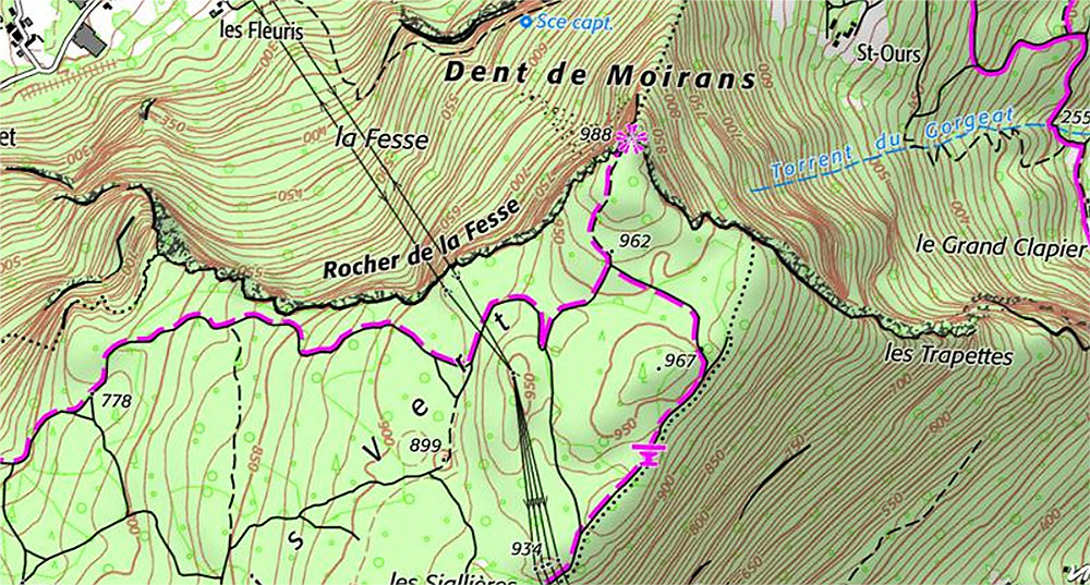
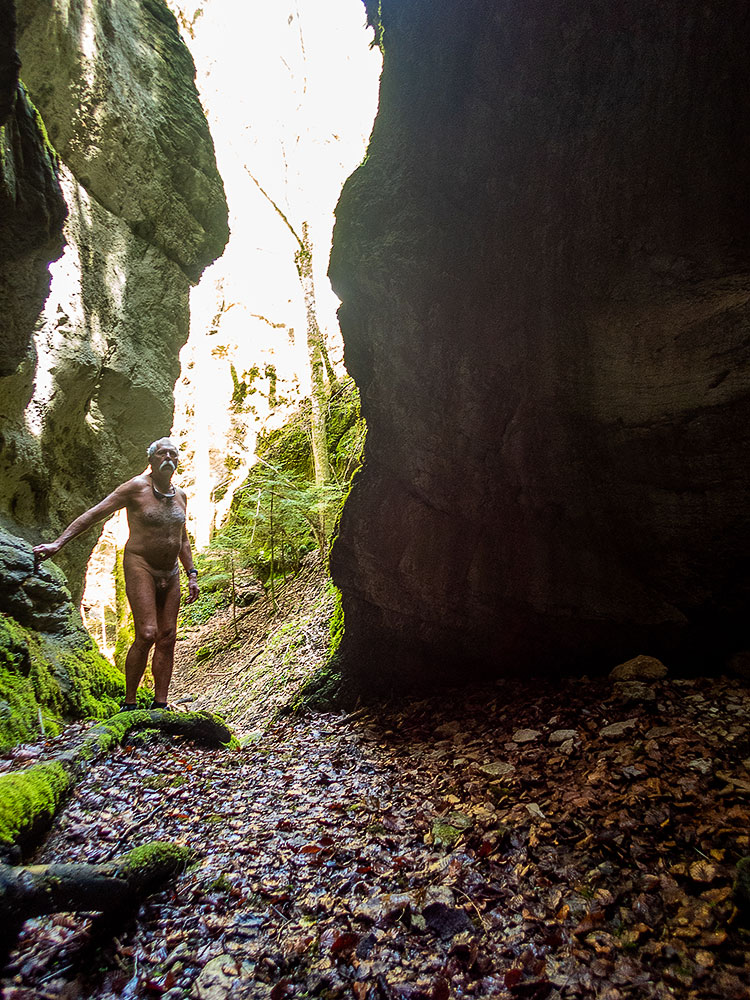
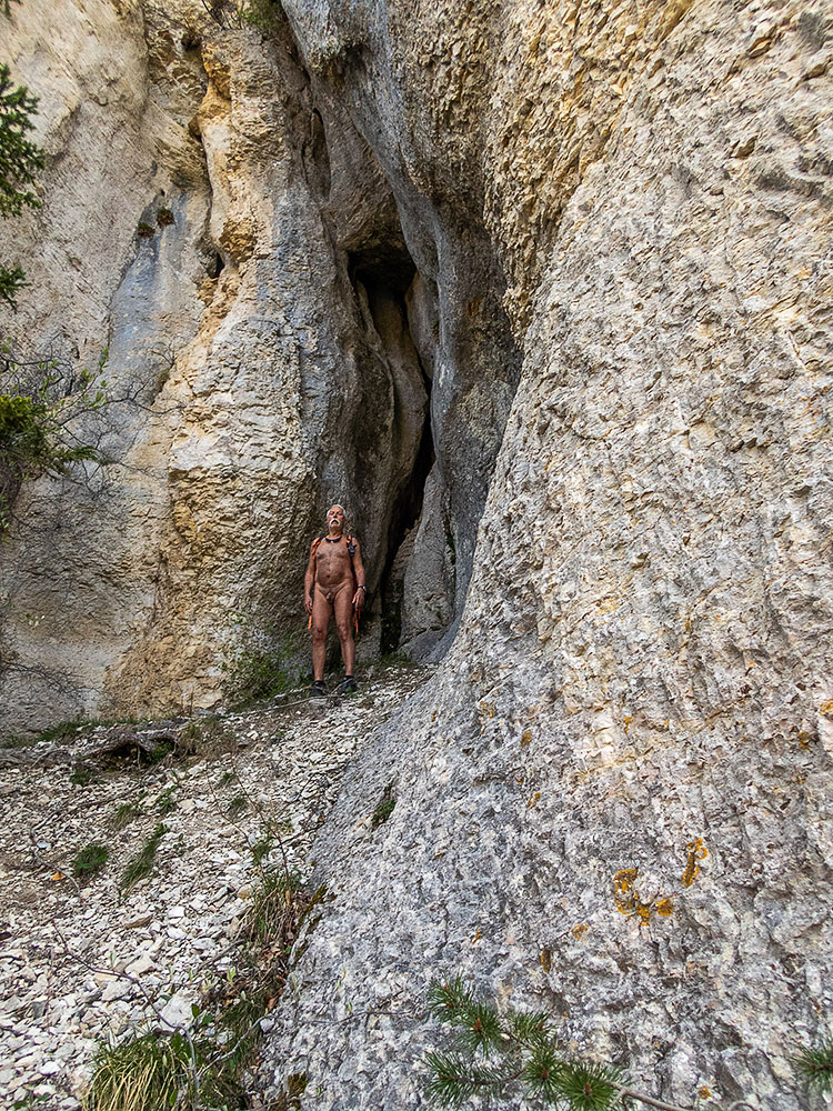
L’un des attraits du geocaching est de faire découvrir des endroits que l’on n’aurait pas idée de visiter sans cette incitation. C’est exactement le cas pour cette Dent de Moirans qui depuis quarante ans est visible depuis ma fenêtre, mais paraît bien anodine, sur un mamelon boisé au pied des falaises du Vercors. Je vais tout de même aller jeter un coup d’œil sur deux caches.
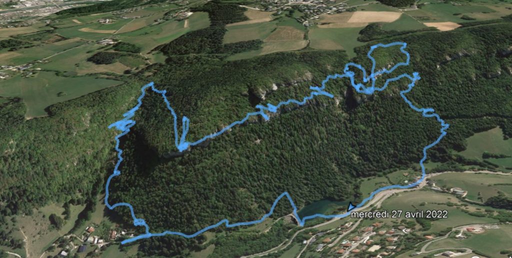
Depuis un parking au bout d’une petite route, le cheminement rejoint vite une très large piste qui a sans doute été élargie et aplanie récemment. Parcours sans charme sur lequel je reste habillé. Jusqu’à rejoindre un vieux chemin en forêt qui est nettement plus agréable. Là, je me déshabille. Comme je n’ai qu’un petit sac à dos sans poche extérieures, je garde mon short à la main, au cas où !
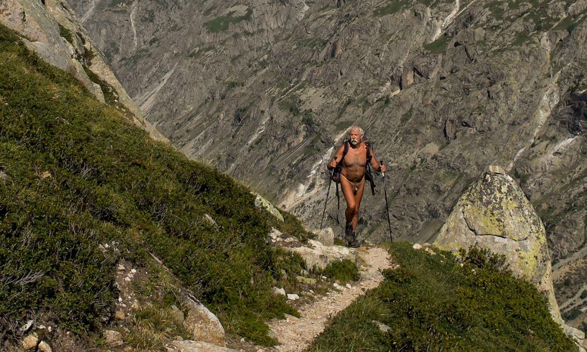
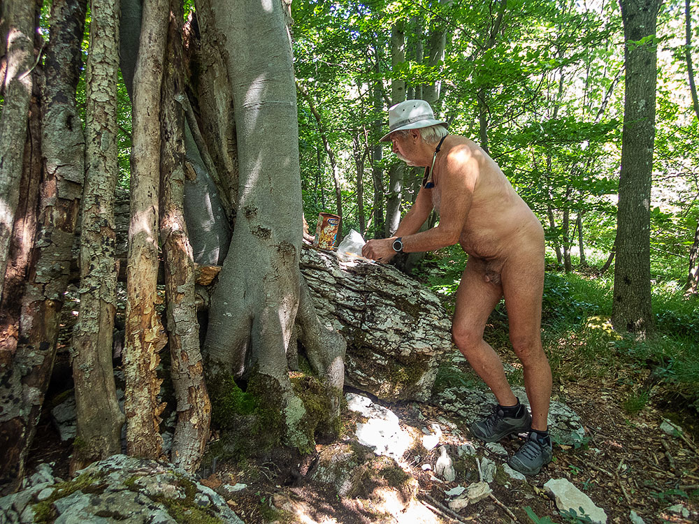
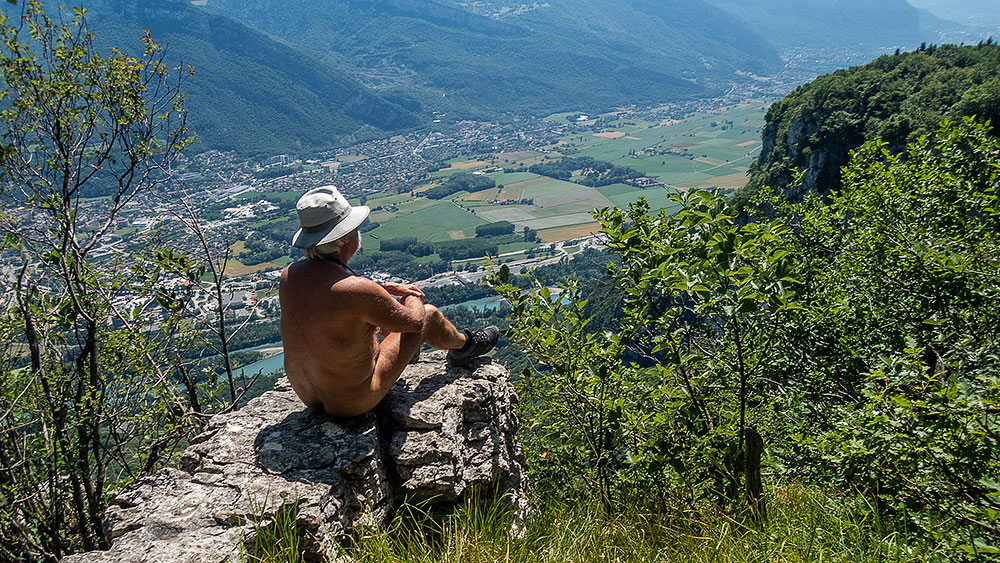
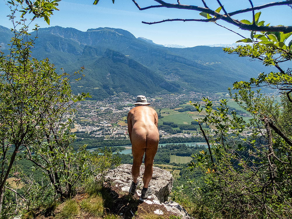
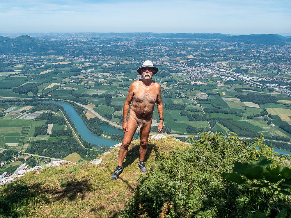
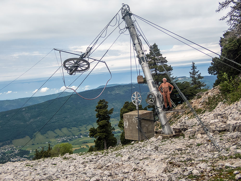
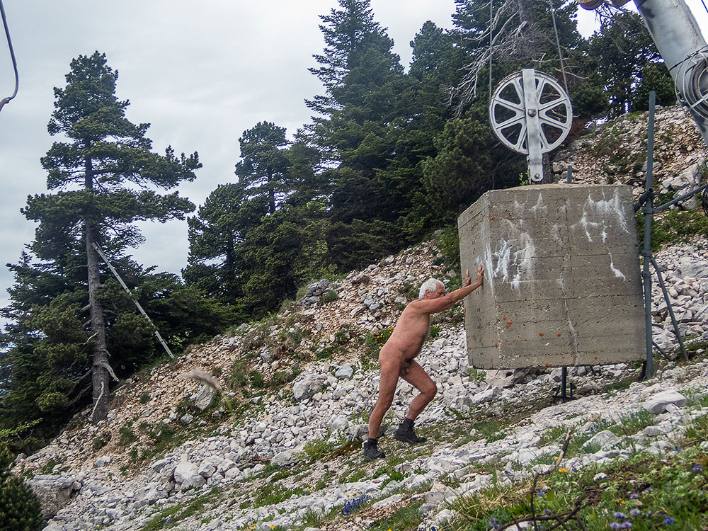
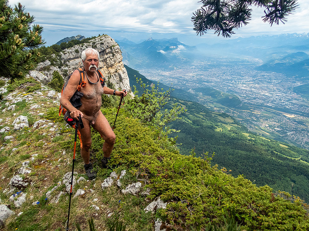
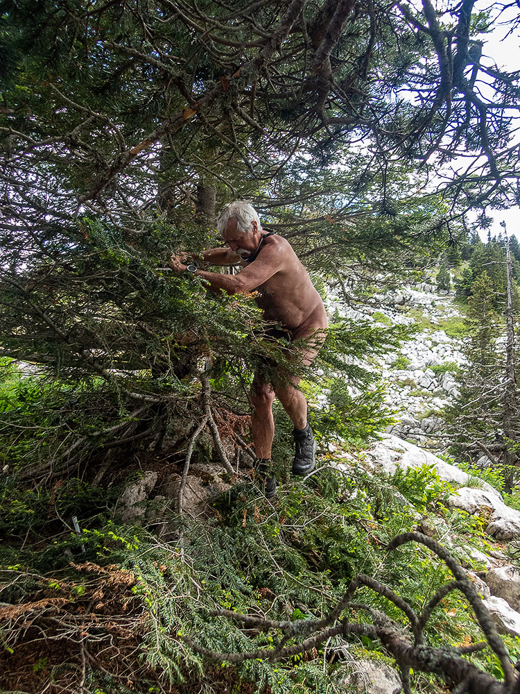
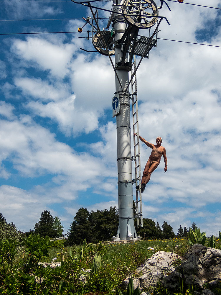
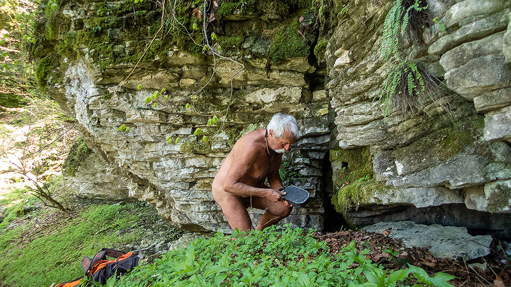
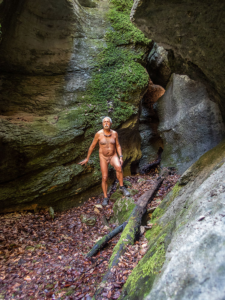
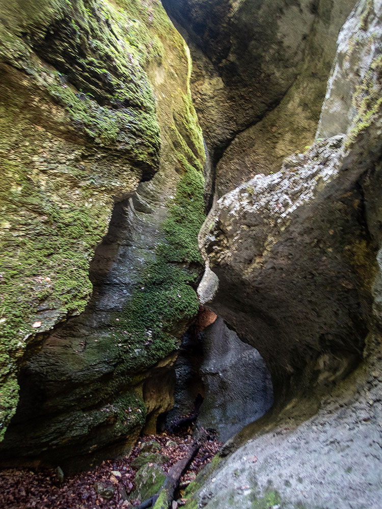
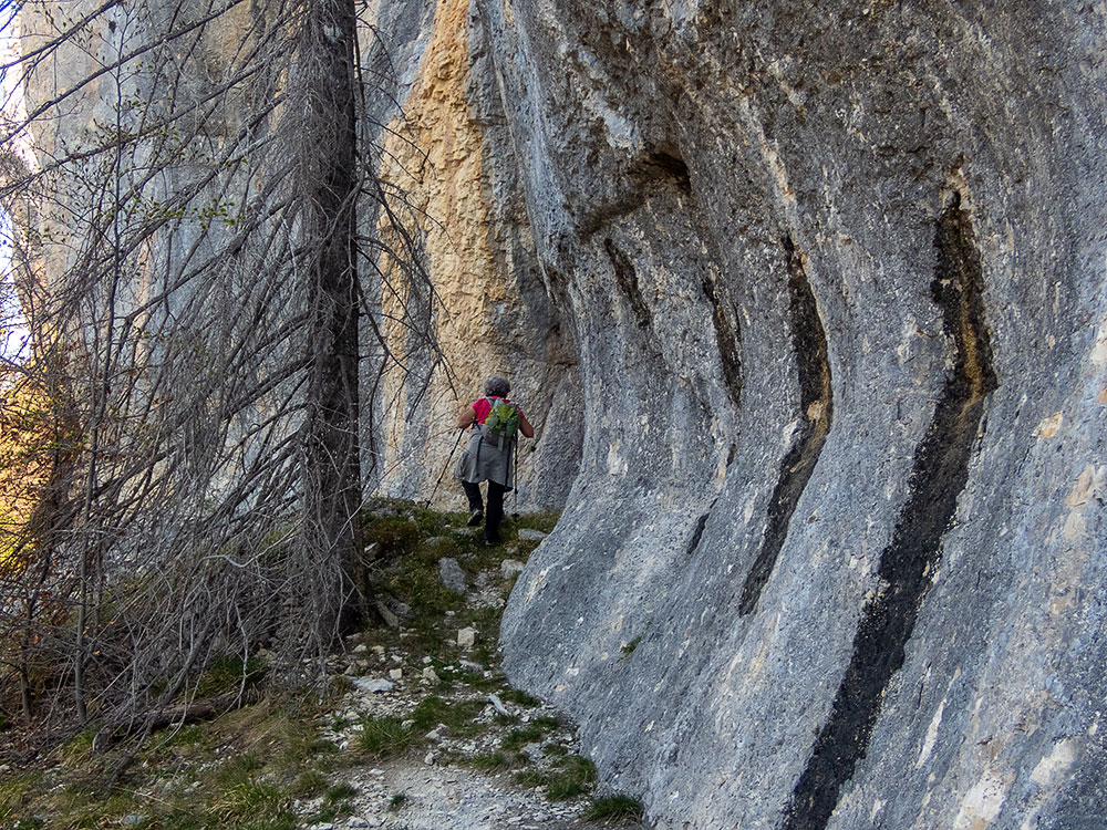
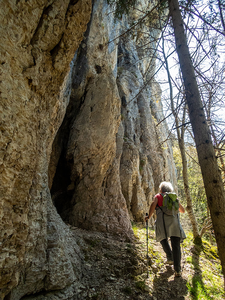
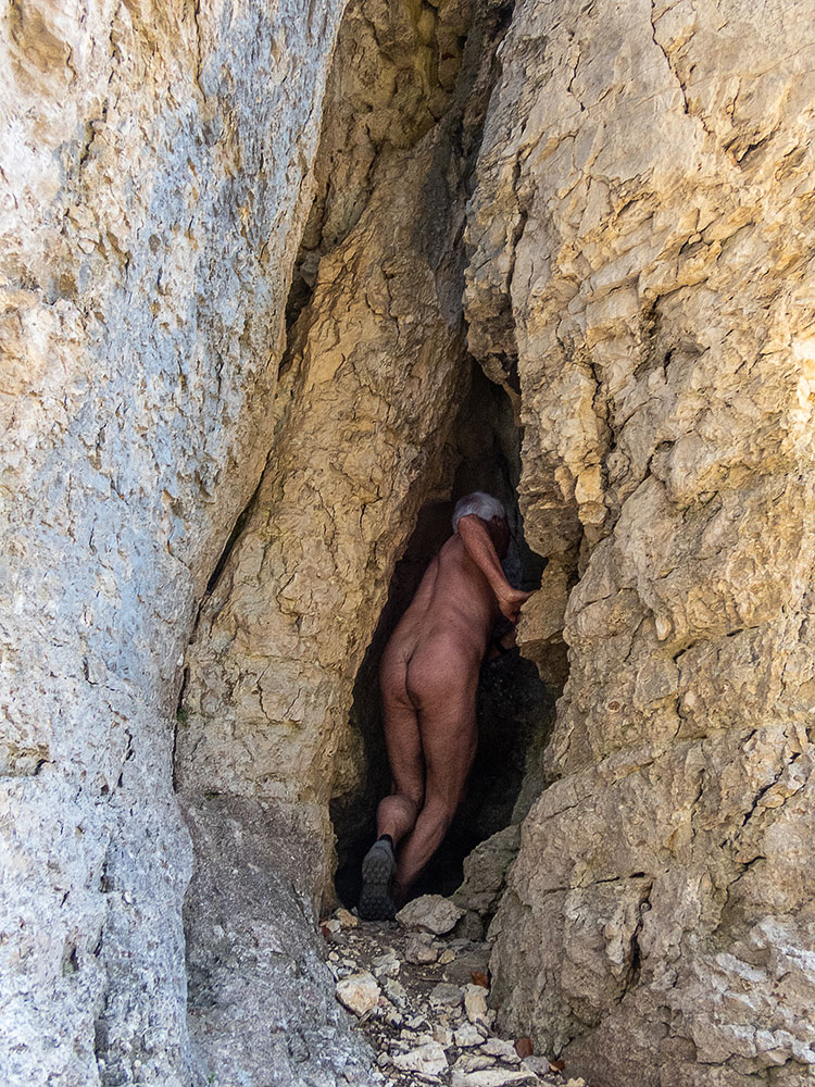
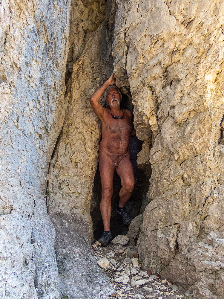
Détour par une table d’orientation, lieu d’une earth cache sur la géologie de la région. Je rejoins le chemin qui monte vers la Dent. Dans un virage, une randonneuse descend en face de moi. Je met juste mon short devant moi et salue. J’ai un sourire en réponse. J’arrive à la seconde geocache. La boite est vite trouvée, mais pas de logbook à l’intérieur, juste un sachet vide et quelques objets. Quelques centaines de mètres plus loin, j’arrive à la Dent. J’aperçois une personne assise me tournant le dos, observant le panorama. J’enfile le short et m’avance. Salutations. La personne me laisse la place sur l’étroit belvédère. La vue est superbe sur la vallée de l’Isère, malgré une brume de chaleur qui amoindri les lointains. Puis un trailer arrive tout essoufflé. Au bout de quelques minutes les deux repartent. Seul, je tente une photo autoportrait, mais nulle part pour accrocher vraiment mon appareil. Je repère une étroite sente et découvre plusieurs autres belvédères bien plus pratiques pour les photos…et bien plus isolés et tranquilles. La ligne de falaises qui s’étend depuis là porte le nom, bien évidemment séduisant pour moi, de Rocher de la Fesse. Je l’illustre en photo. Dans la descente je croise un vététiste qui monde. Le short tenu à la main devant moi encore et quelques mots : « Pas trop dur en vélo ? – Non, ça va, bonne rando ». Je bifurque ensuite par une vieille piste défoncée par le débardage, creusée d’ornière et de troncs en travers qui me ramène à quelques dizaine de mètres du parking. J’espère arriver à mon véhicule sans avoir à me changer, mais las ! Un grand bruit derrière moi et le vététiste déboule. J’enfile mon short. Sa voiture est là aussi. Arrêté, il s’excuse auprès de moi avec le sourire : « Je vous ai dérangé. On ne peut jamais être tranquille » Puis nous échangeons sur les différents parcours et les travaux forestiers qui les compliquent.
One of the attractions of geocaching is that it allows you to discover places that you wouldn’t have thought of visiting without this incentive. This is exactly the case for this Dent de Moirans which has been visible from my window for forty years, but seems quite insignificant, on a wooded hillside at the foot of the Vercors cliffs. I’m going to have a look at two caches anyway.
From a parking lot at the end of a small road, the path quickly joins a very wide track that has probably been widened and leveled recently. A path without charm on which I remain dressed. Until I reach an old path in the forest which is much more pleasant. There, I take off my clothes. As I only have a small backpack with no outside pocket, I keep my shorts in my hand, just in case!
Detour by an orientation table, place of an earth cache on the geology of the region. I join the path that goes up to the Dent. In a bend, a woman hiker comes down in front of me. I just put my shorts in front of me and wave. I have a smile in response. I arrive at the second geocache. The box is quickly found, but no logbook inside, just an empty bag and a few items. A few hundred meters further, I arrive at the Dent. I see a person sitting with his back to me, observing the panorama. I put on the shorts and walk forward. Greetings. The person leaves me the place on the narrow belvedere. The view is superb on the Isère valley, in spite of a heat haze which reduces the distance. Then a trailer arrives all out of breath. After a few minutes, both of them leave. Alone, I try a self-portrait, but nowhere to really hang my camera. I find a narrow path and discover several other viewpoints much more convenient for pictures…and much more isolated and quiet. The line of cliffs that stretches from there bears the name, obviously attractive to me, of Rocher de la Fesse. I illustrate it with a picture. On the way down I meet a mountain biker who is riding. The shorts held in the hand in front of me again and some words: « Not too hard on the bike? – No, I’m fine, have a good hike ». I fork then by an old track broken by the logging, dug of rut and of trunks across which brings me back to some ten meters of the carpark. I hope to get to my vehicle without having to change, but I’m out of luck! A big noise behind me and the mountain biker is riding. I put on my shorts. His car is there too. He stopped and apologized to me with a smile: « I disturbed you. One can never be quiet » Then we exchange on the various paths and the forest works which complicate them.
