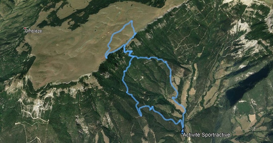
La Jarjatte

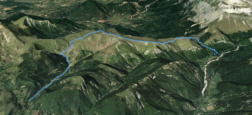
L’association des Marcheurs Nus du Val de Roanne s’est récemment vu confier la gestion du balisage d’une deuxième portion du GR 93 entre le hameau des Amayères à Lus la Croix Haute et le col du Charnier, sur le versant Dévoluy de la Drôme. Je tenais à parcourir ce cheminement pour vérifier l’état du chemin et du balisage ; j’ai donc inscrit au programme de l’association cette sortie un dimanche de début septembre. Le samedi en fin d’après midi, c’est par une pluie battante que j’ai posé mon camion sur le parking de Lus. Mais les prévision météo étant tout de même optimistes, j’ai confirmé le rendez vous pour le lendemain. Pluie encore durant la nuit, soleil et ciel bleu le matin.

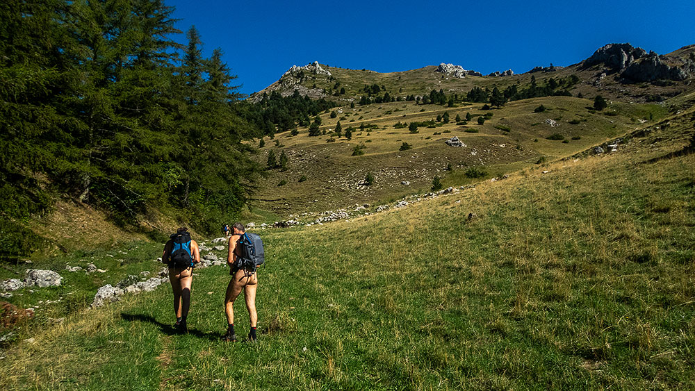
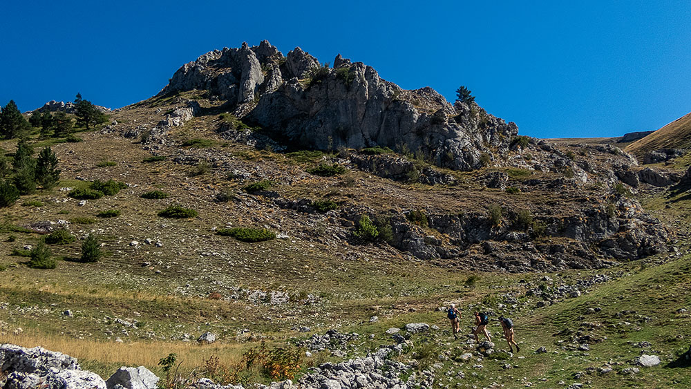
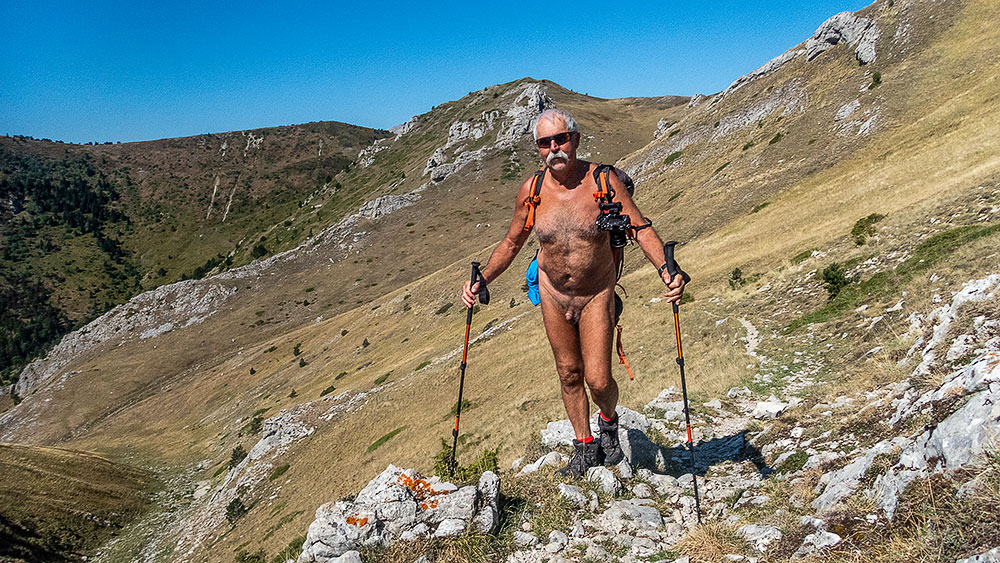
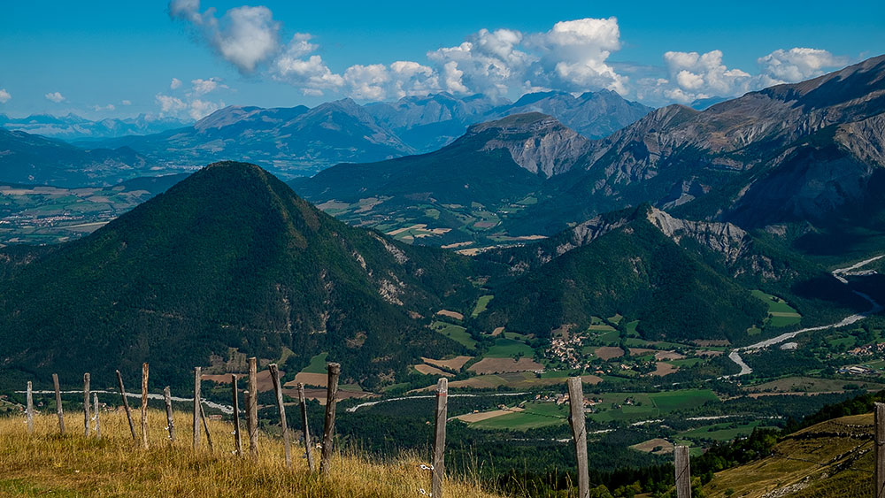
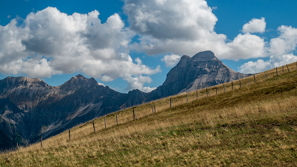
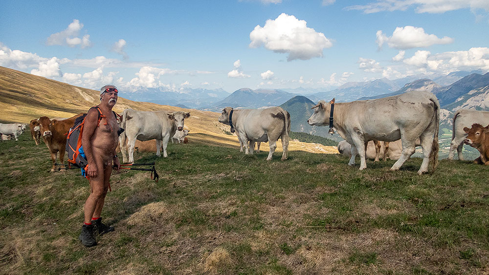
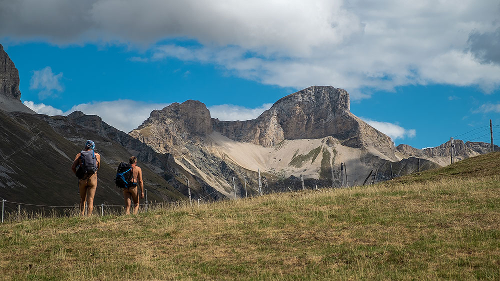
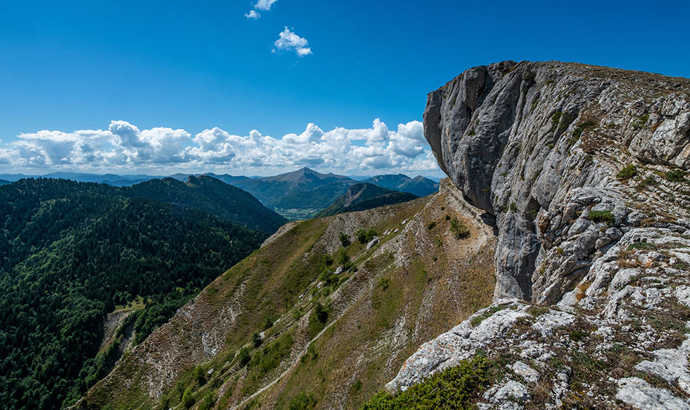
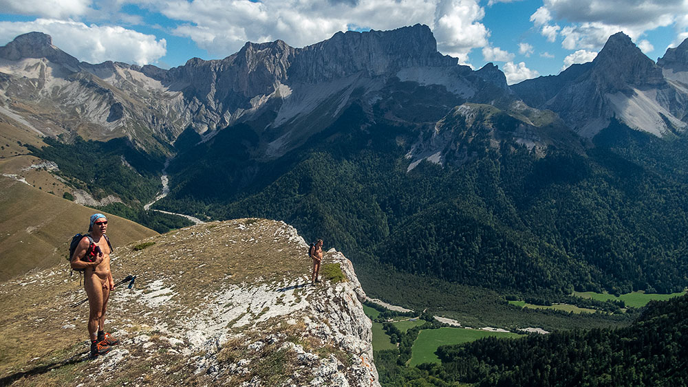
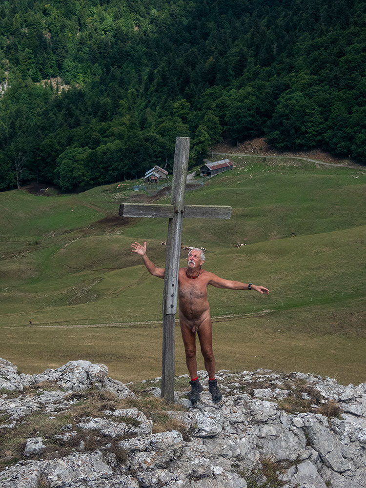
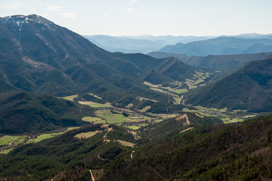
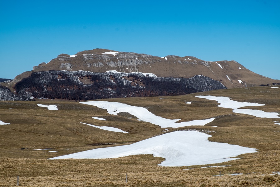
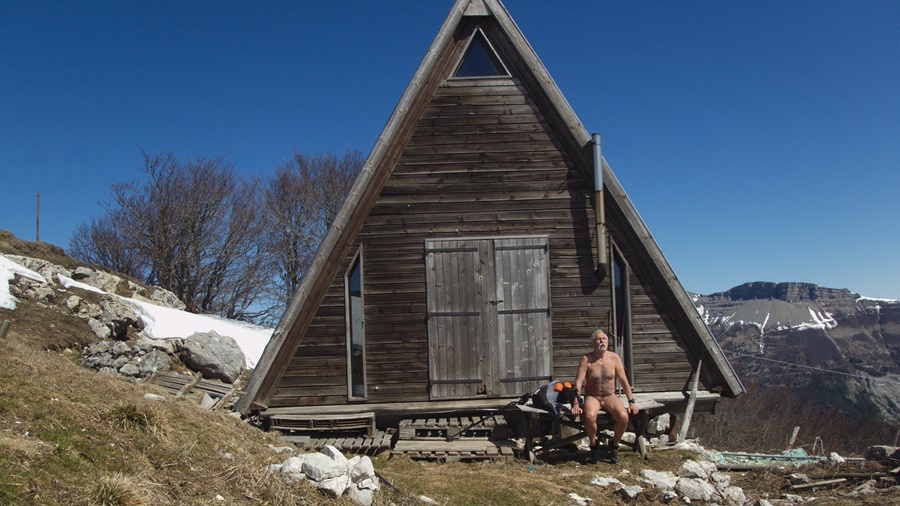
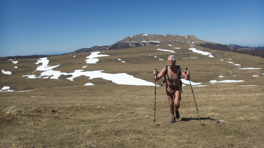
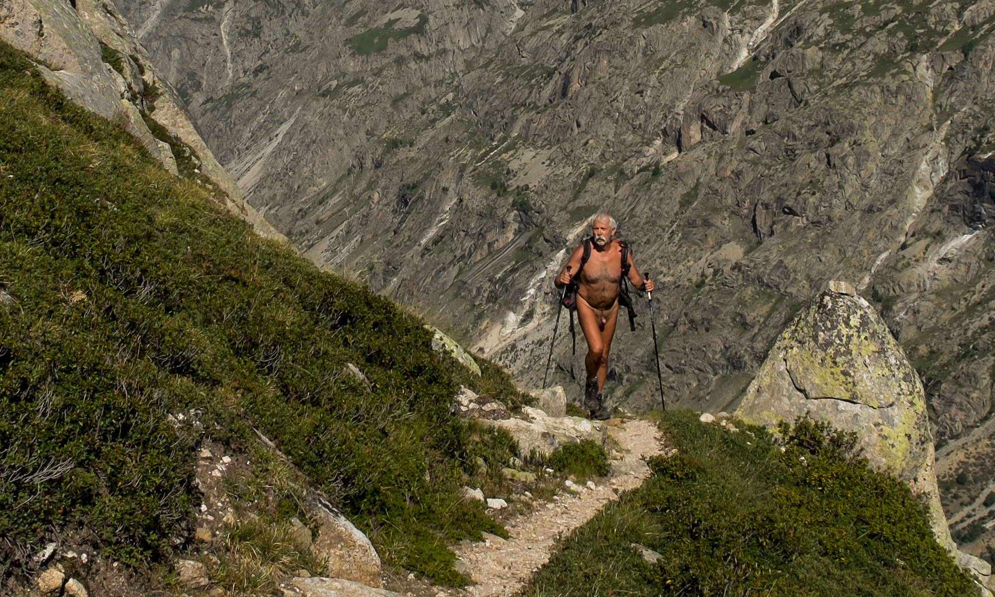
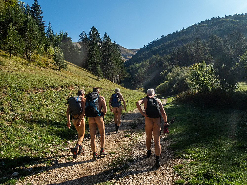
Les véhicules posés à l’arrivée, nous rejoignons le départ grâce à Babette, qui ne peut marcher mais assure la logistique. Nous sommes cinq avec Didier, Loïc, Jean Paul et Xavier, un nouveau amené par Jean Paul. Une piste s’élance dans les gorges des Amayères qui mène au pied des pentes herbeuses qui nous attendent sur quelques 600 mètres de montée sans interruption. Une bonne pente mais régulière et qui découvre les paysages alentours. Xavier peine et monte lentement, mais on a le temps et les conditions sont idéales pour marcher nus. Seule la présence de nombreuses mouches est quelque peu gênante. Deux croisements de randonneurs textiles se passent avec simplicité sans que l’on ait même songer à se rhabiller tant on est à l’aise. Arrêt pique nique avec un panorama à 360° sur le Trièves, le Grand Ferrand, les sommets du Dévoluy autour de la Jarjatte et le Vercors de l’autre côté. Une vue somptueuse ! On repart. Jean Paul et Xavier coupent dans l’alpage tandis que l’on continue sur le GR en traversant les troupeaux de vaches placides et en longeant les falaises.On se retrouve au col de la Croix pour la descente finale plus raide et caillouteuse au grand malheur de Xavier qui n’en peu plus mais qui semble prêt à recommencer une balade avec nous.


The association of Naked Walkers of the Val de Roanne was recently entrusted with the management of the marking of a second portion of the GR 93 between the hamlet of Amayères in Lus la Croix Haute and the Charnier pass, on the Dévoluy side of the Drôme. I wanted to walk this path to check the state of the path and the markings; I therefore included this outing in the association’s program on a Sunday in early September. On Saturday at the end of the afternoon, it is by a beating rain that I put my van on the parking lot of Lus. But the weather forecast being optimistic, I confirmed the appointment for the next day. Rain again during the night, sun and blue sky in the morning.

The vehicles are put down at the arrival, we join the departure thanks to Babette, who cannot walk but ensures the logistics. We are five with Didier, Loïc, Jean Paul and Xavier, a new one brought by Jean Paul. A track starts in the gorges of Amayères which leads to the foot of the grassy slopes which await us on some 600 meters of uninterrupted ascent. A good but steady slope that reveals the surrounding landscapes. Xavier suffers and goes up slowly, but we have time and the conditions are perfect to walk naked. Only the presence of numerous flies is a little annoying. Two crossings of textile hikers happen with simplicity without having even thought of getting dressed so much we are at ease. Picnic stop with a 360° panorama on the Trièves, the Grand Ferrand, the peaks of Dévoluy around the Jarjatte and the Vercors on the other side. A sumptuous view! We set out again. Jean Paul and Xavier cut in the mountain pasture while we continue on the GR by crossing the herds of placid cows and by skirting the cliffs. We join the pass of the Cross for the final descent more steep and stony to the great misfortune of Xavier who can not bear it any more but who seems ready to start again a walk with us.
Pluie à Rochefourchat

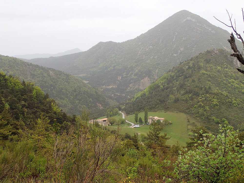
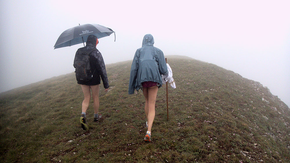
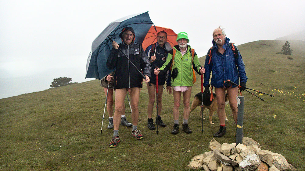
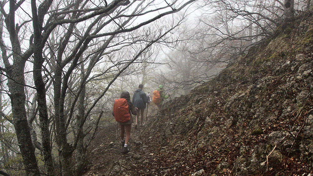
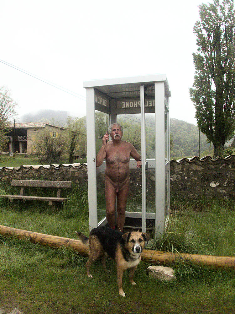
Pour cette sortie des Marcheurs Nus du Val de Roanne, on a rendez vous à Rochefourchat, une des plus petite commune de France avec, au dernier recensement, UN habitant. C’est vrai que le village est tout petit: une église, un cimetière, une maison (l’ancienne mairie?) transformée en gîte, deux autres maisons à proximité…et une cabine téléphonique désaffectée. Autour, les champs et la montagne. Sur la route, en arrivant, quelques gouttes de pluie commencent à tomber. On est six, Christian, Patrick, Alex, un nouveau, Pascal, Bernard et moi. Le temps de démarrer, la pluie s’est installée…et cela semble parti pour durer toute la journée. Tant pis, on y va! Entre parapluies et parkas avec capuchons, on va se protéger. Le chemin grimpe tout de suite, très humide par moments. On s’élève au dessus du village. Le sentier est très étroit , on est en file indienne, sans vraiment possibilité d’être côte à côte pour discuter. On passe devant une grande bergerie à proximité de ruines de maisons. Puis on continue à monter. On sort de la forêt sur cette crête de Serre Delegue, sur la montagne de Couspeau. Là un vent froid nous cueille. On est aussi plus ou moins dans la brume qui nous cache le paysage. Il n’y a rien à voir. Demi tour pour retrouver la bergerie et se mettre au sec pour le casse-croûte. Une fois rassasiés, on retrouve la pluie pour la descente jusqu’au village. Cela a été une randonnue particulièrement humide, mais la découverte d’un coin qui nous incitera à revenir sous de meilleurs auspices.

For this outing of the Naked Walkers of the Roanne Valley, we have an appointment in Rochefourchat, one of the smallest municipalities in France with, at the last census, ONE inhabitant. It’s true that the village is very small: a church, a cemetery, a house (the old town hall?) transformed into a gîte, two other houses nearby and a disused telephone booth Around, the fields and the mountain. On the road, as we arrive, a few drops of rain start to fall. We are six, Christian, Patrick, Alex, a new one, Pascal, Bernard and me. The time to start, the rain settled…and that seems to last all day. Too bad, we go! Between umbrellas and parkas with hoods, we will protect ourselves. The way climbs right away, very wet by moments. We rise above the village. The path is very narrow, we are in single file, without really possibility to be side by side to discuss. We pass in front of a big sheepfold near ruins of houses. Then we continue to go up. We emerge from the forest on this crest of Serre Delegue, on the mountain of Couspeau. There a cold wind picks us up. We are also more or less in the mist which hides us the landscape. There is nothing to see. Half turn to find the sheepfold and to put ourselves in the dry for the snack. Once satisfied, we return to the rain for the descent to the village. It was a particularly wet hike, but the discovery of a place which will incite us to return under better auspices.

Ambel depuis Quint

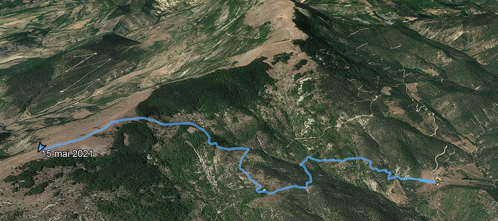
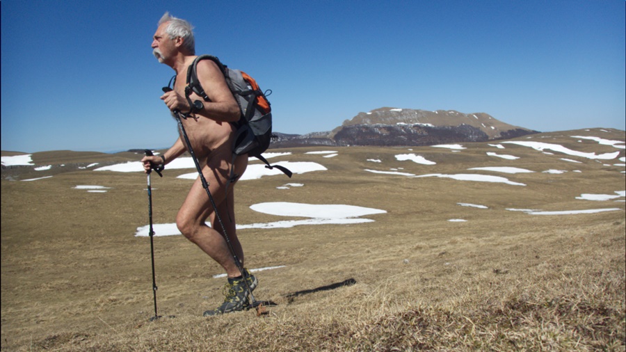
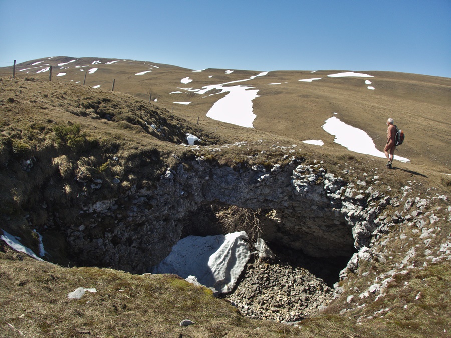
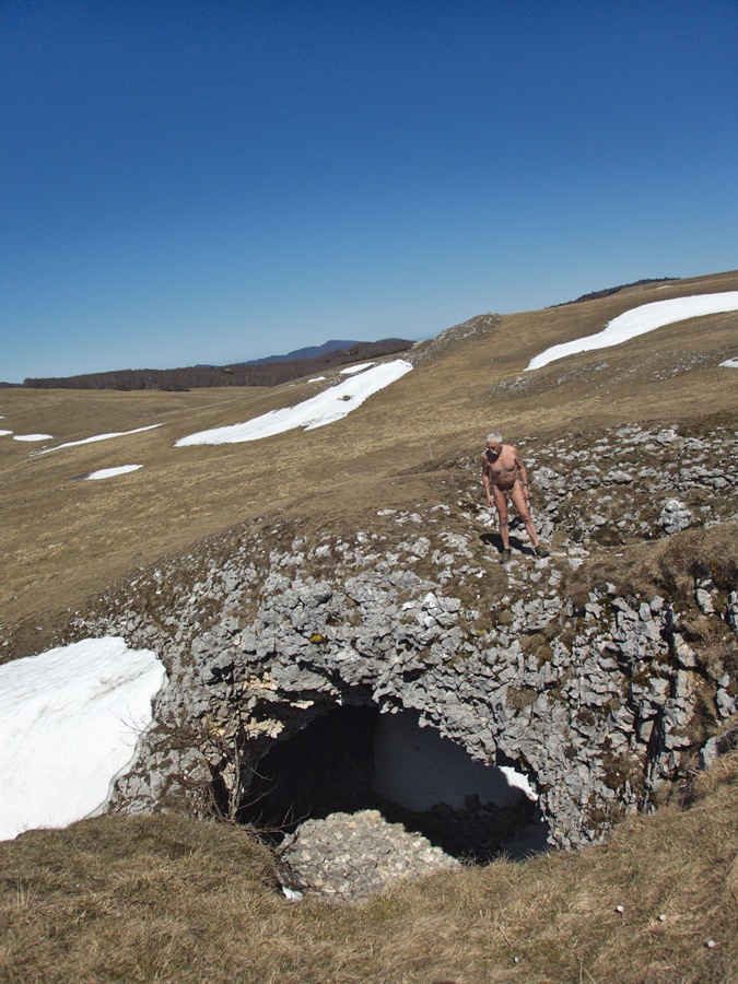
A l’automne 2016, j’avais fait avec Gilbert une randonnue sur le plateau d’Ambel depuis le col de la Bataille et notamment la découverte du scialet des Quatre Gorges, une superbe cavité située sous l’alpage. De passage pour quelques jours dans la vallée de Quint, près de Die, je décide d’y retourner, mais cette fois en grimpant depuis le fond de cette vallée, c’est à dire avec nettement plus de dénivellation.
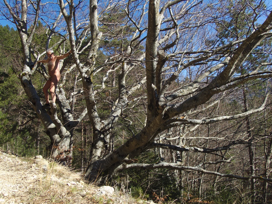
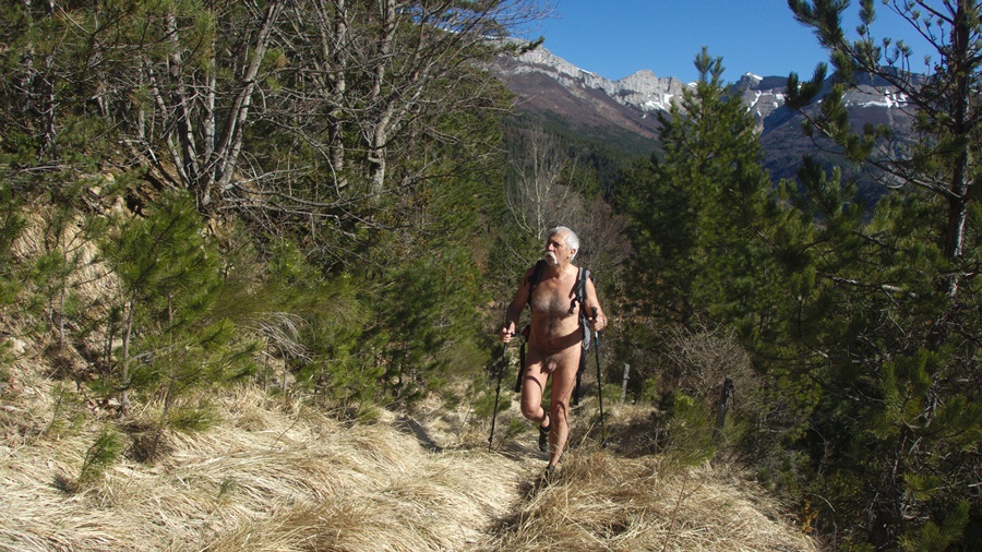
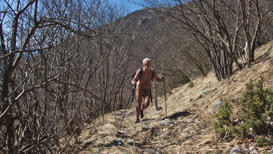
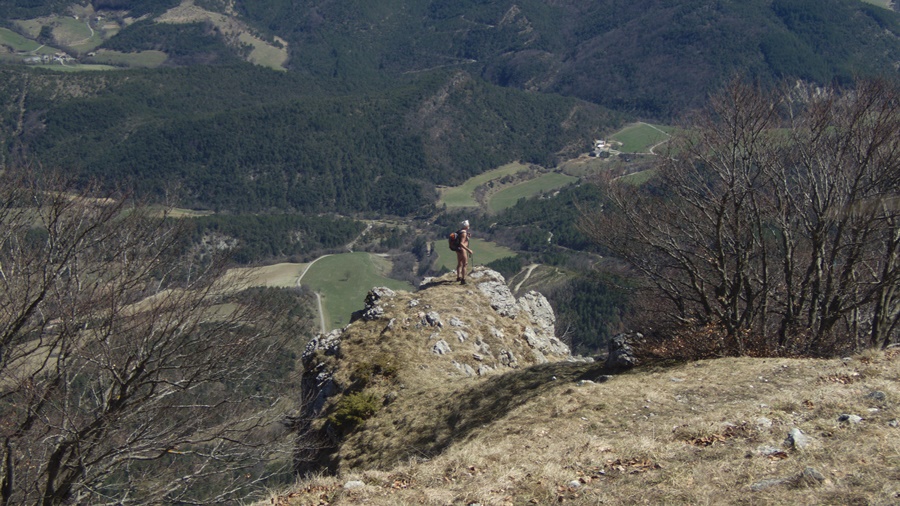
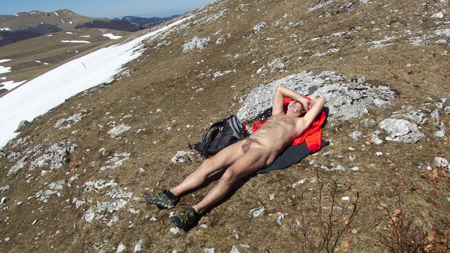
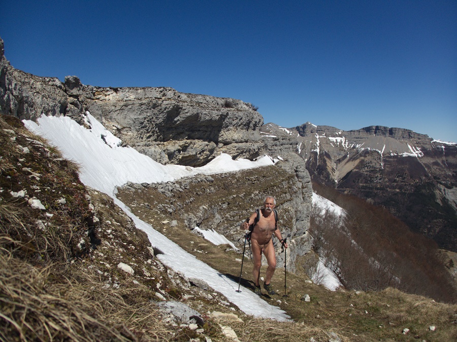
Je gare mon véhicule à l’embranchement de la piste forestière des Juges et démarre en short, tee shirt et blouson. Il n’est pas encore dix heures du matin en ce début avril. Mais dés le premier virage, un chemin permet de quitter la piste et de monter droit dans la forêt. Je l’emprunte et me déshabille aussitôt. J’ai déjà chaud. Le chemin est large et bien tracé sauf sur une portion où la végétation a repris possession du terrain: ronces et jeunes pousses de sapins sont tout juste franchissables. Je retrouve la piste un peu plus haut. Quelques centaines de mètres plus loin, nouvelle bifurcation pour une ancienne piste assez bien entretenue qui se transforme plus haut en étroit chemin. Ça grimpe régulièrement. Dans les trouées des arbres j’ai de belles perspectives sur la vallée de Quint avec au fond le col de Marignac où j’étais deux jours auparavant. Au bout de deux heures de montée j’approche du rebord du plateau d’Ambel. Quelques névés à franchir et j’y suis. Mais le vent aussi y est. Il souffle relativement fort et fraîchement. Mais qu’importe. J’ai le plateau rien que pour moi, pas la moindre autre présence humaine. Guère d’animaux non plus: un lièvre qui a détalé à mon approche et quelques oiseaux, notamment trois vautours qui viendront m’observer lors de mon arrêt pique nique. Ils espéraient peut être une carcasse. Par contre le plateau est parsemé de massifs de crocus, bleus et blancs mélangés. Après une visite à la bergerie, je me dirige vers le scialet. Malheureusement l’entrée en est encore protégé par un entonnoir de neige. Je me contente d’observer les ouvertures du toit, les effondrements de la voûte depuis l’extérieur. Pour la descente je rattrape un autre chemin qui me ramène au hameau des Juges. A la toute proximité des maisons et de la route, je me rhabille. Pratiquement six heures de nudité et de solitude.


In the autumn of 2016, Gilbert and I went for a naked hike on the Ambel plateau from the Col de la Bataille and notably the discovery of the scialet des Quatre Gorges, a superb cavity located under the mountain pasture. Passing for a few days in the valley of Quint, near Die, I decide to return there, but this time climbing from the bottom of this valley, i.e. with much more elevation difference.
I park my vehicle at the junction of the forest track of the Judges and start in shorts, tee shirt and jacket. It is not yet ten in the morning at the beginning of April. But from the first bend, a path allows you to leave the track and climb straight into the forest. I take it off and take my clothes off right away. I’m already hot. The path is wide and well traced except on a portion where vegetation has regained possession of the ground: brambles and young sprouts are just passable. I find the trail a little higher. A few hundred meters further, new fork for an old track rather well maintained that turns higher into narrow path. It climbs regularly. In the gaps of the trees I have beautiful views over the valley of Quint with at the background the Marignac pass where I was two days before. After two hours of climbing I approach the edge of the plateau of Ambel. A few neves to cross and I’m in. But the wind is there too. It blows relatively hard and fresh. But whatever. I’ve got the plateau all to myself, no other human presence. Not many animals either: a hare that has run away on my approach and some birds, including three vultures that will come to observe me during my picnic stop. Maybe they were hoping for a carcass. On the other hand, the plateau is dotted with clumps of crocus, blue and white mixed. After a visit to the sheepfold, I head towards the scialet. Unfortunately the entrance is still protected by a snow funnel. I just observe the roof openings, the collapse of the vault from the outside. For the descent I catch another path which takes me back to the hamlet of Judges. Close to the houses and the road, I put my clothes back on. Almost six hours of nudity and solitude.