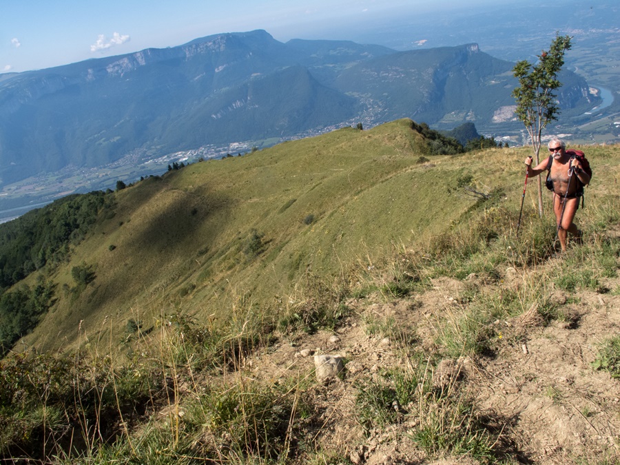
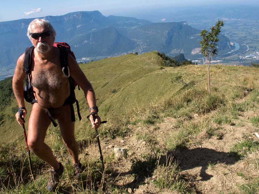
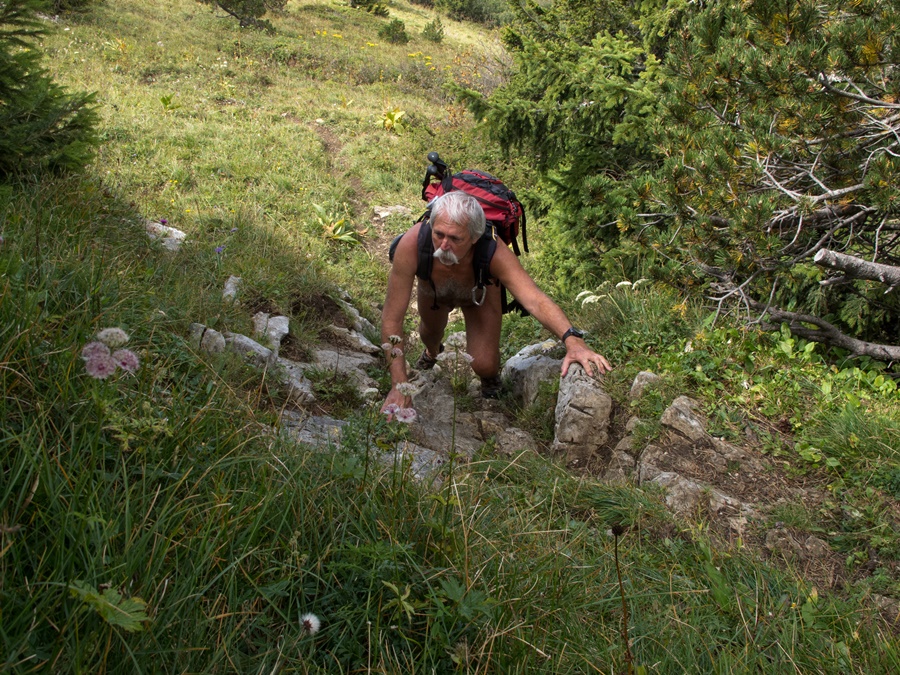
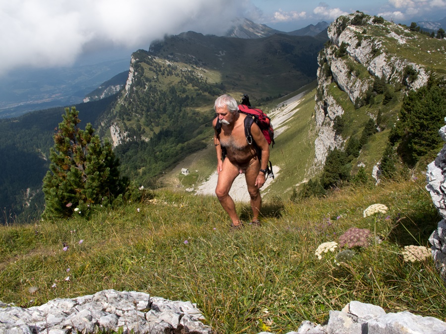
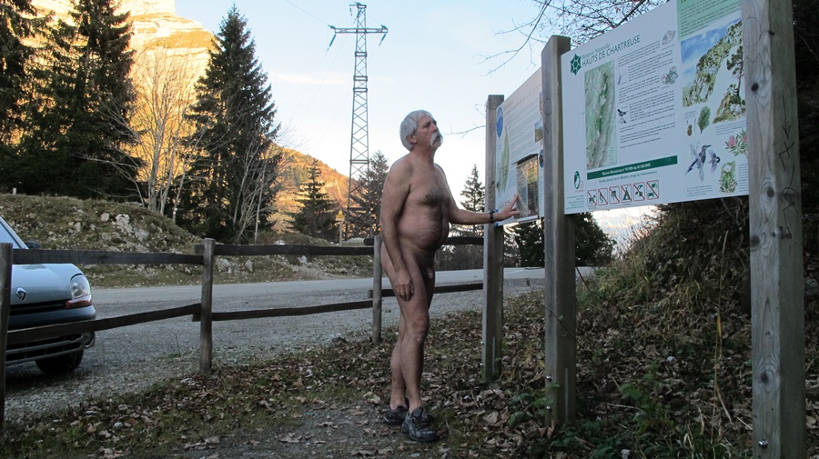
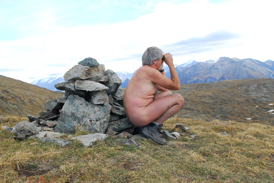
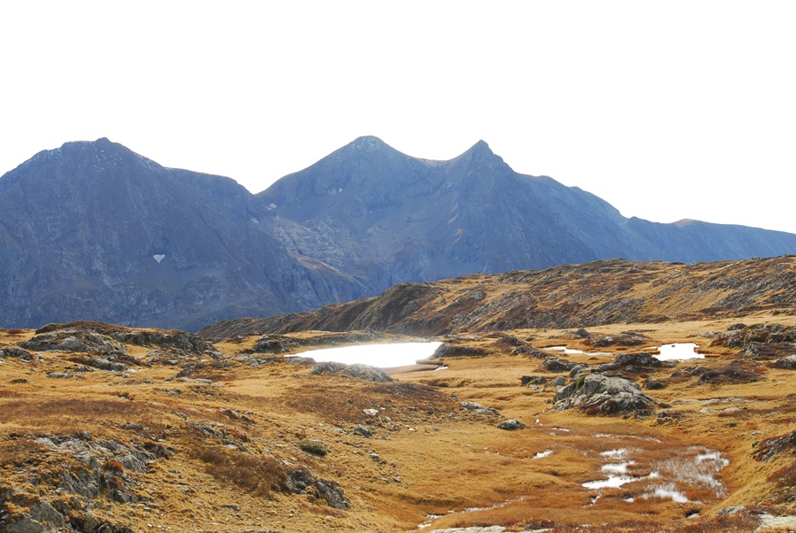
Le Chatelleret

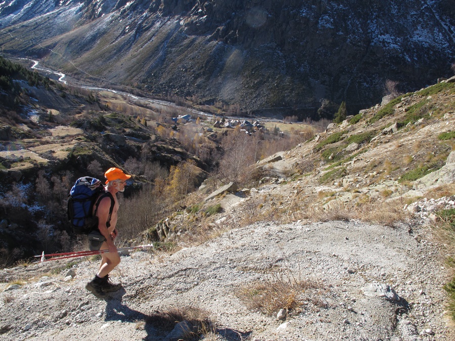
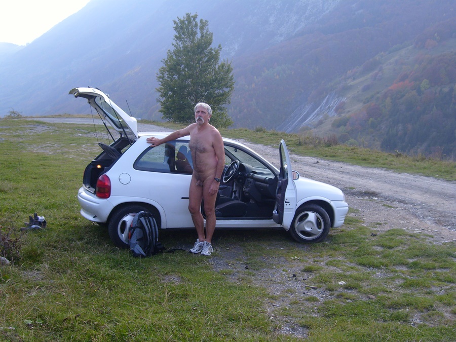
Bruno avait proposé une rando dans le vallon des Etançons à la Berarde. Évidement, je suis partant, même si c’était une destination qui ne me serait pas venu à l’idée en cette saison. Pourtant, la route n’est pas encore coupée et la neige de début de saison qui a pu effrayer les randonneurs a bien fondue et n’est pas encore suffisante pour les skieurs. Les raquettes sont inutiles et resteront dans le coffre de la voiture.
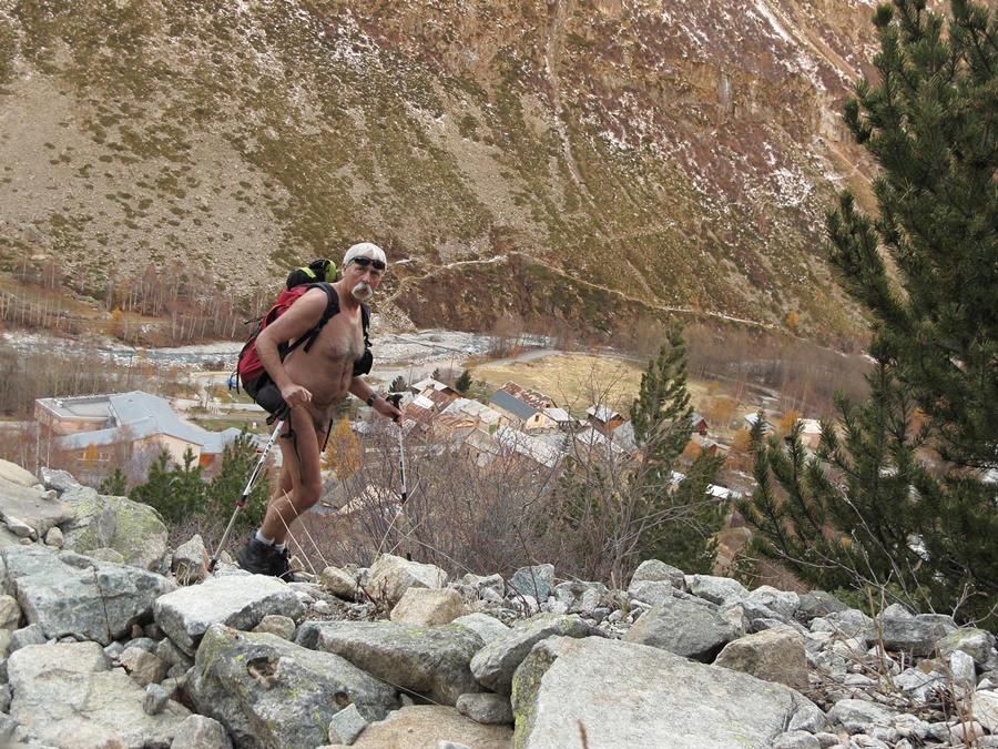
Le ciel est radieux, le vent absent. Départ habillé, pantalon et polaires, mais au bout de dix minutes, encore en vue du hameau, la chaleur se fait sentir. Arrêt pour enlever une polaire…allez, autant tout quitter.
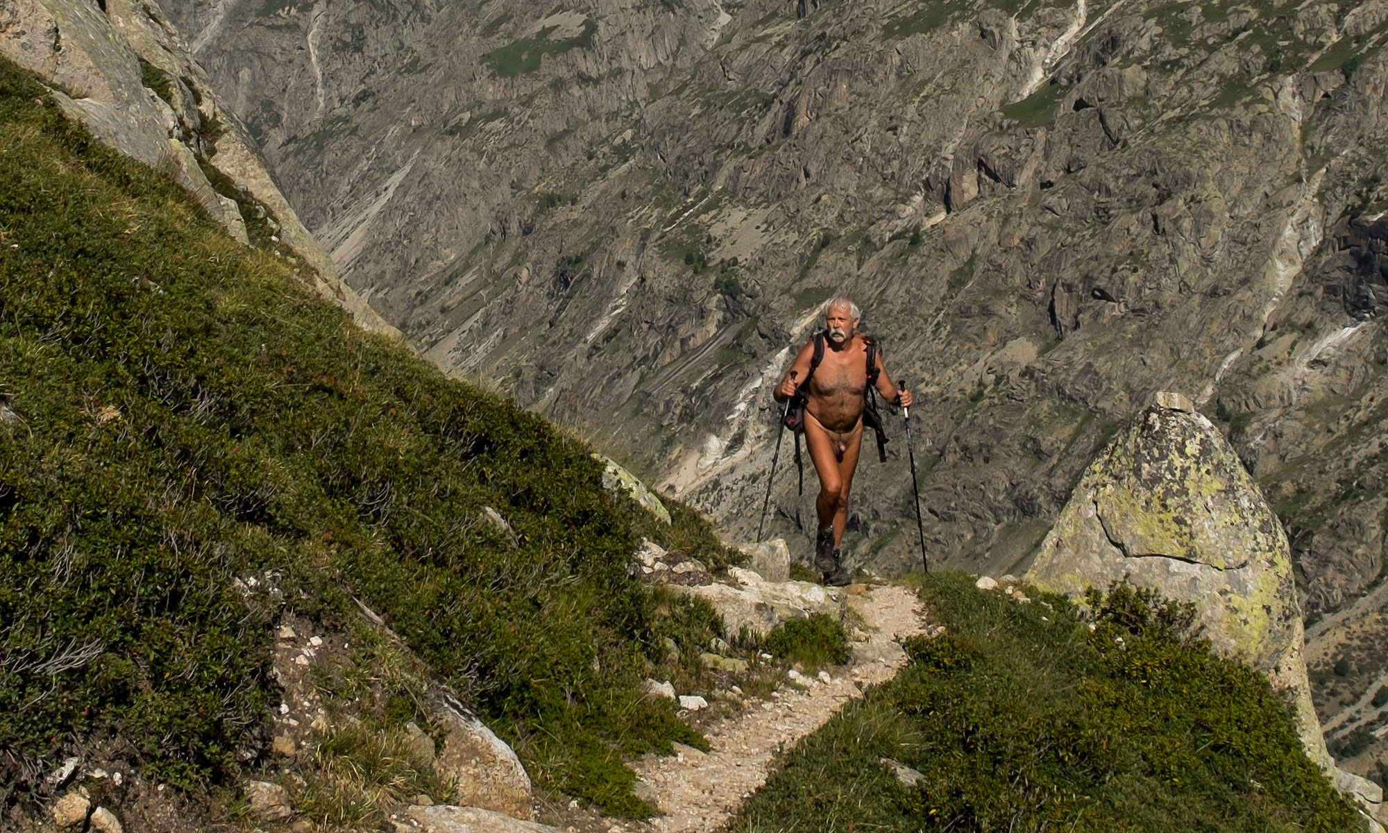
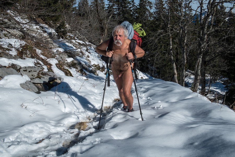
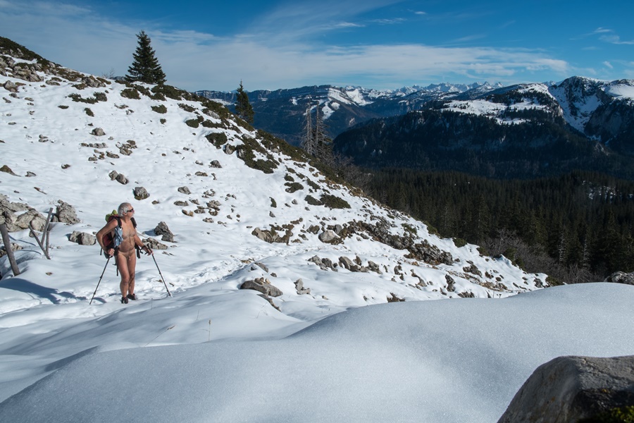
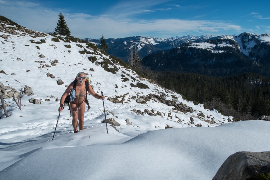
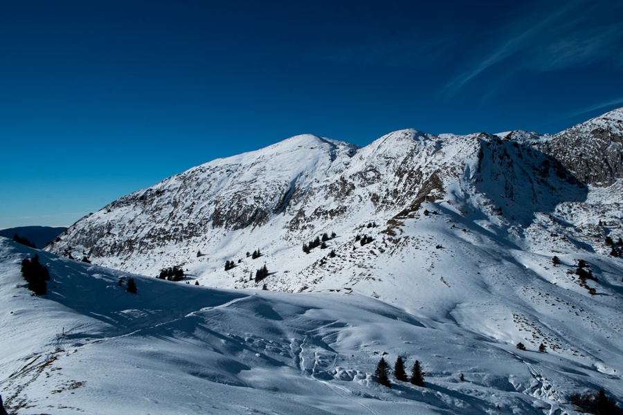
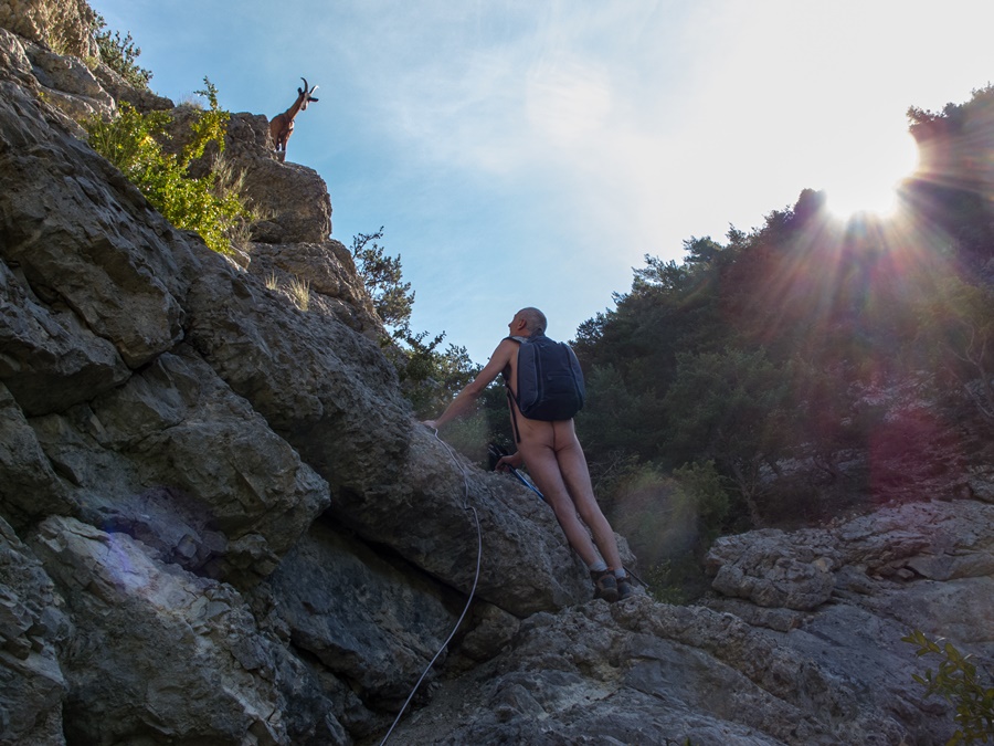
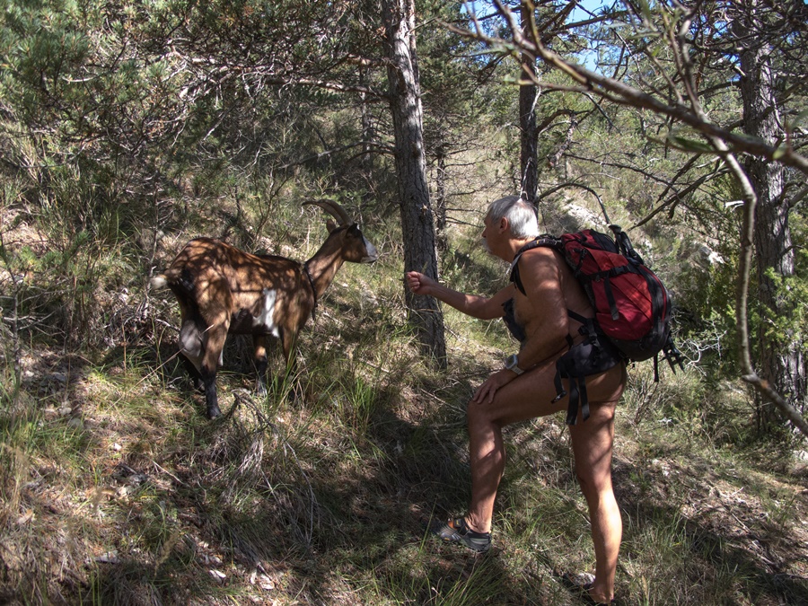
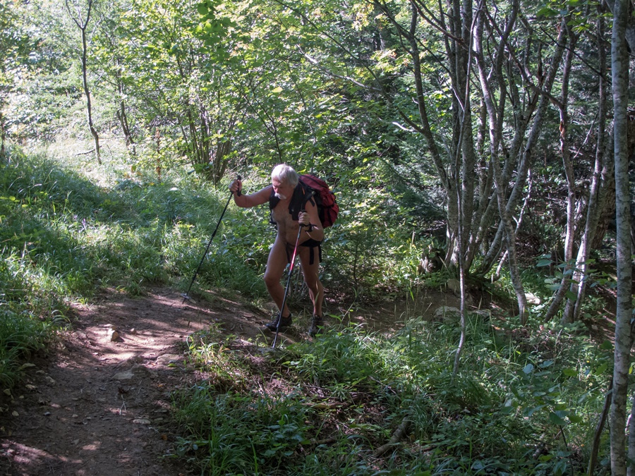
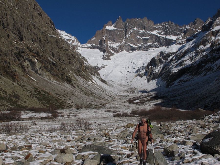
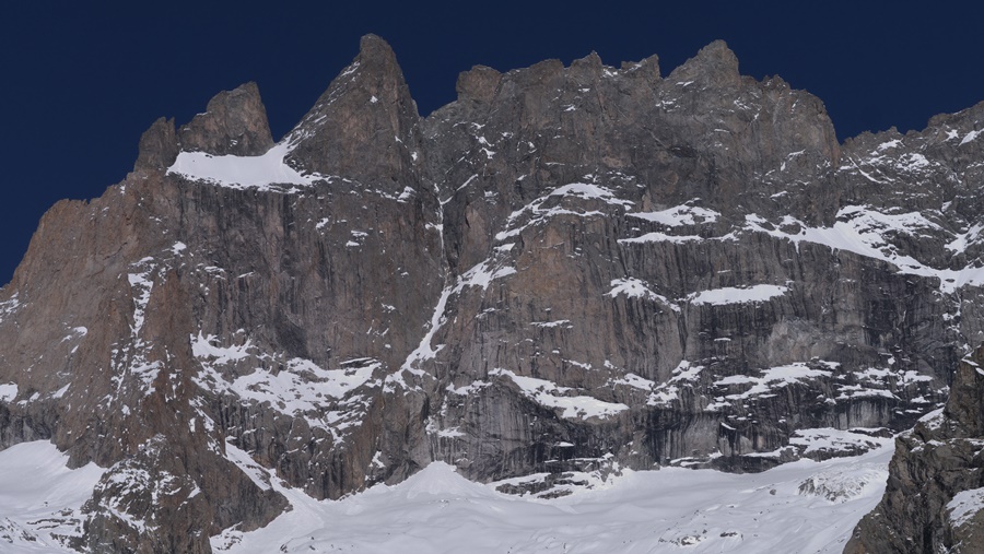
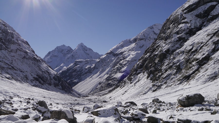
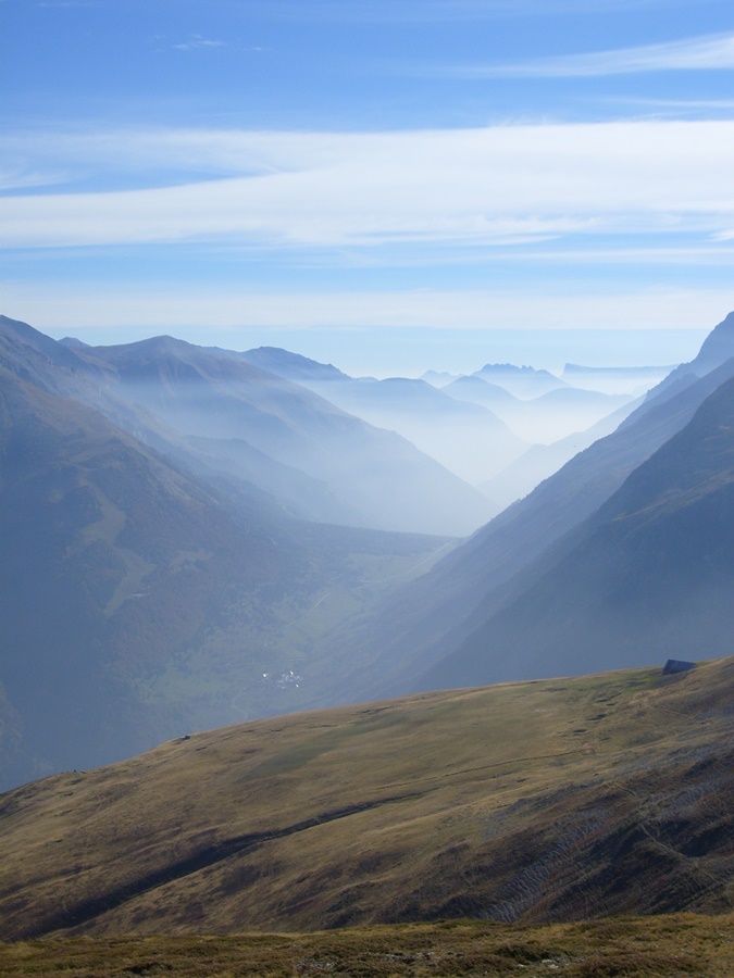
On grimpe au dessus de la Berarde, on laisse de côté le chemin de la Tête de la Maye, puis on s’engage sur le versant droit dans le vallon. Légère descente pour traverser le torrent sur une passerelle et court moment à l’ombre et à la fraîcheur. On débouche en vue de la face sud de la Meije, majestueuse qui bouche l’axe du vallon. La montée est douce et régulière. La neige peu épaisse et dure crisse sous les pas. Quelques grandes enjambées au dessus de petits torrents. On se sent vraiment seul dans ce décor de neige et de rocher. Ah, non. Un randonneur descend. Comme il nous a vu, inutile de se changer. Il nous conseille en souriant de ne pas oublier la crème solaire. On arrive au refuge du Chatelleret. Un autre randonneur passe et s’éloigne. Il nous suivra tout à l’heure à la descente en restant à distance respectueuse!
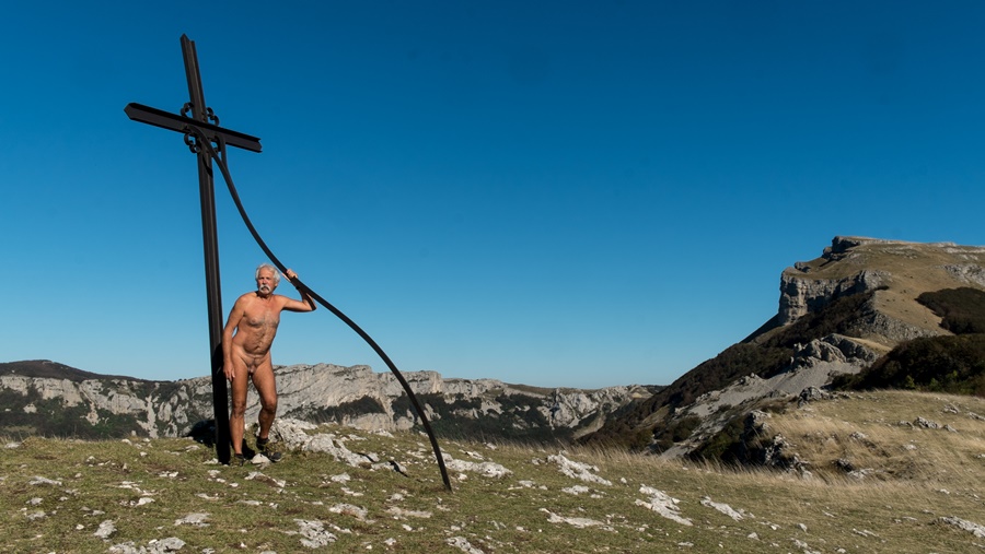
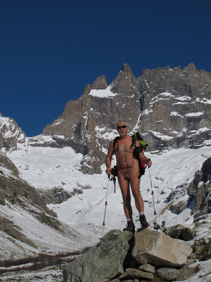
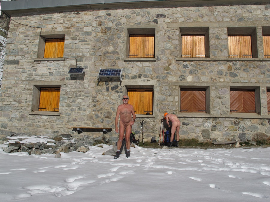
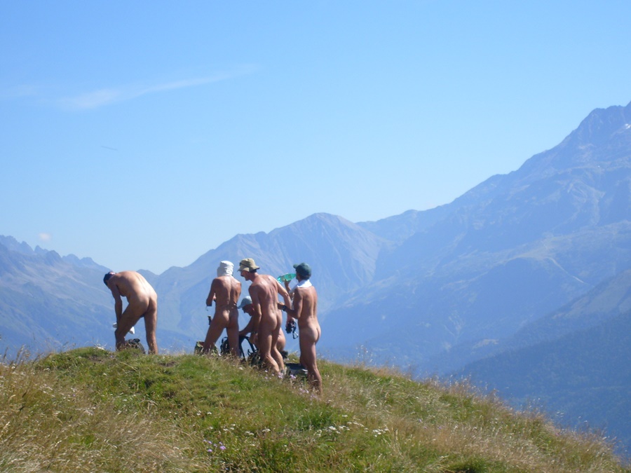
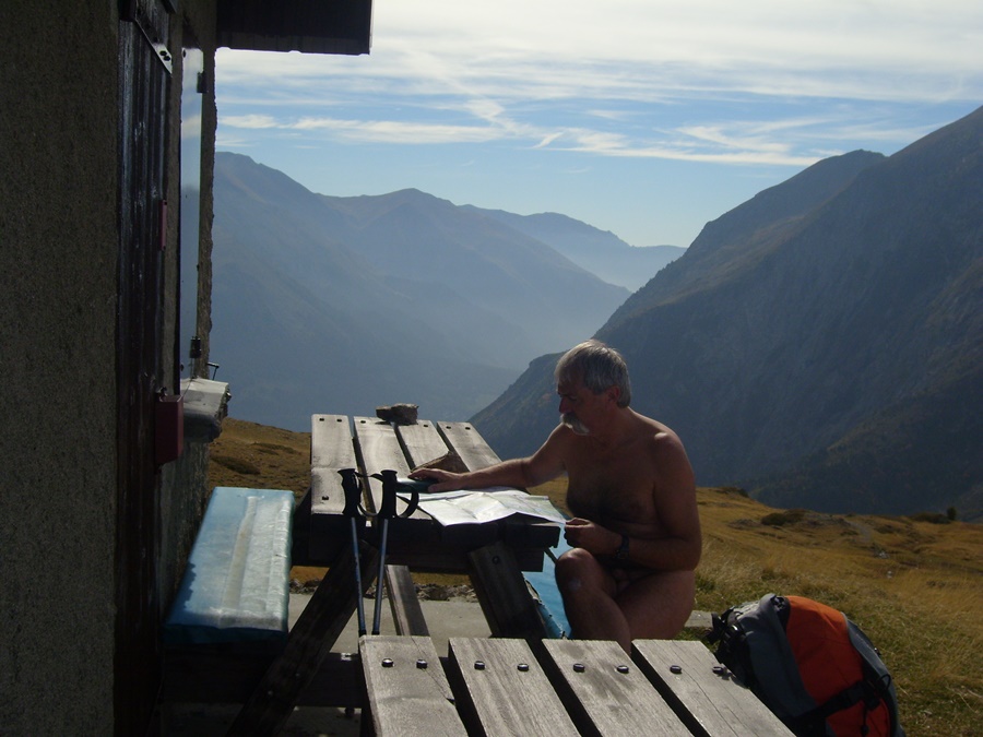
Longue pose déjeuner et photos sur la terrasse devant le refuge. On resterait bien là des heures à lézarder et à admirer le panorama des montagnes environnantes mais il vaut mieux redescendre avant que le soleil ne baisse trop derrière les sommets et que l’ombre n’envahisse la vallée.
C’était vraiment la journée idéale pour une randonnue en cette saison. Qu’il ne fallait pas rater!


Bruno had proposed a hike in the Etançons valley at La Berarde. Obviously, I’m in, even if it was a destination that would not have occurred to me at this time of year. However, the road is not yet cut and the snow from the beginning of the season, which may have scared the hikers, has melted and is still not enough for the skiers. Snowshoes are useless and will stay in the trunk of the car.
The sky is radiant, the wind is absent. Departure dressed, trousers and fleeces, but after ten minutes, still in sight of the hamlet, the heat is felt. Stop to take off a fleece…come on, we might as well drop everything.
We climb over the Berarde, let aside the path of the Tête de la Maye, then we go on the right side of the valley. Slight descent to cross the torrent on a footbridge and short moment in the shade and coolness. We come out in view of the south face of the Meije, which majestically blocks the axis of the valley. The ascent is gentle and regular. The thin and hard snow crunches under the footsteps. Some big strides above small torrents. One feels really alone in this scenery of snow and rock. Ah, no. A hiker comes down. Since he saw us, there’s no need to change. With a smile, he advises us not to forget the sunscreen. We arrive at the Chatelleret refuge. Another hiker passes by and walks away. He will follow us down the hill, but keep a respectful distance!
Long lunch break and photos on the terrace in front of the refuge. We would have liked to stay there for hours to laze around and admire the panorama of the surrounding mountains, but it is better to go back down before the sun goes down too much behind the peaks and the shade invades the valley.
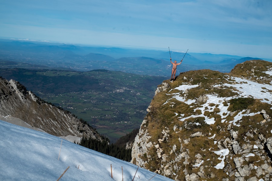
It was really the ideal day for a naked hike in this season. A day not to be missed!

Calanques de Cassis

Rendez-vous raté avec les calanques.
Je me suis inscrit à Marseille – Cassis, une course à pieds mythique de vingt kilomètres avec les trois cent et quelques mètres de dénivelé du passage au col de la Gineste. La course se déroulant le dimanche 28 octobre, je me suis programmé quelques jours de séjour à Cassis, à l’entrée des calanques. Las, la météo n’a pas été vraiment au rendez-vous.
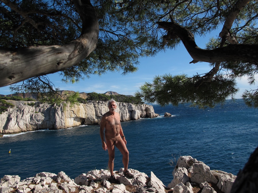
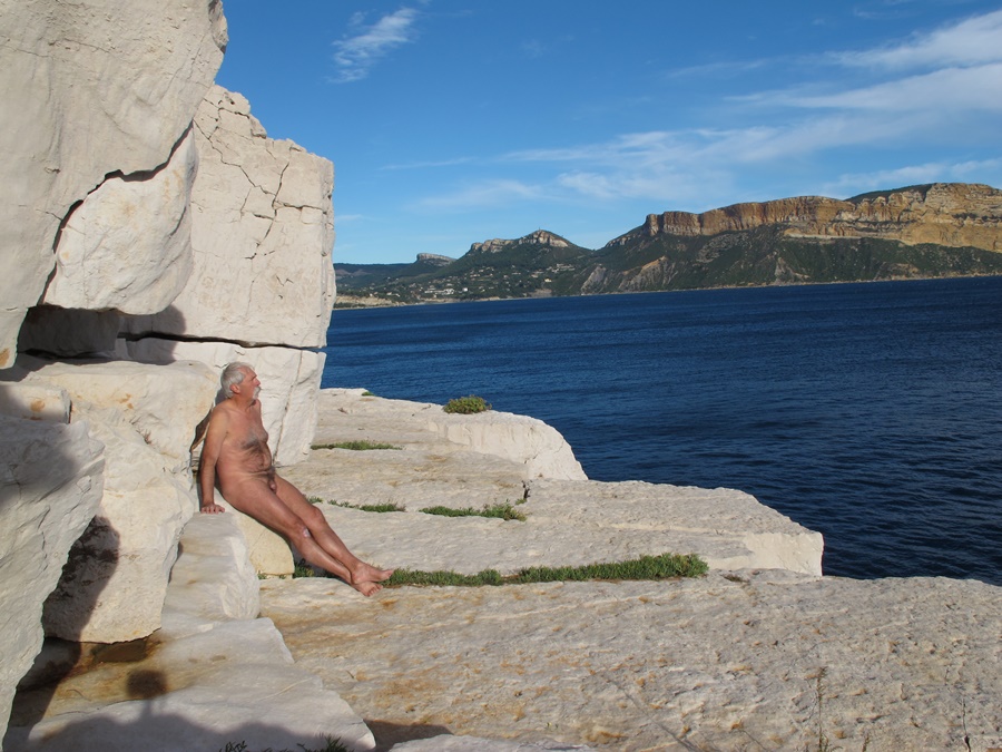
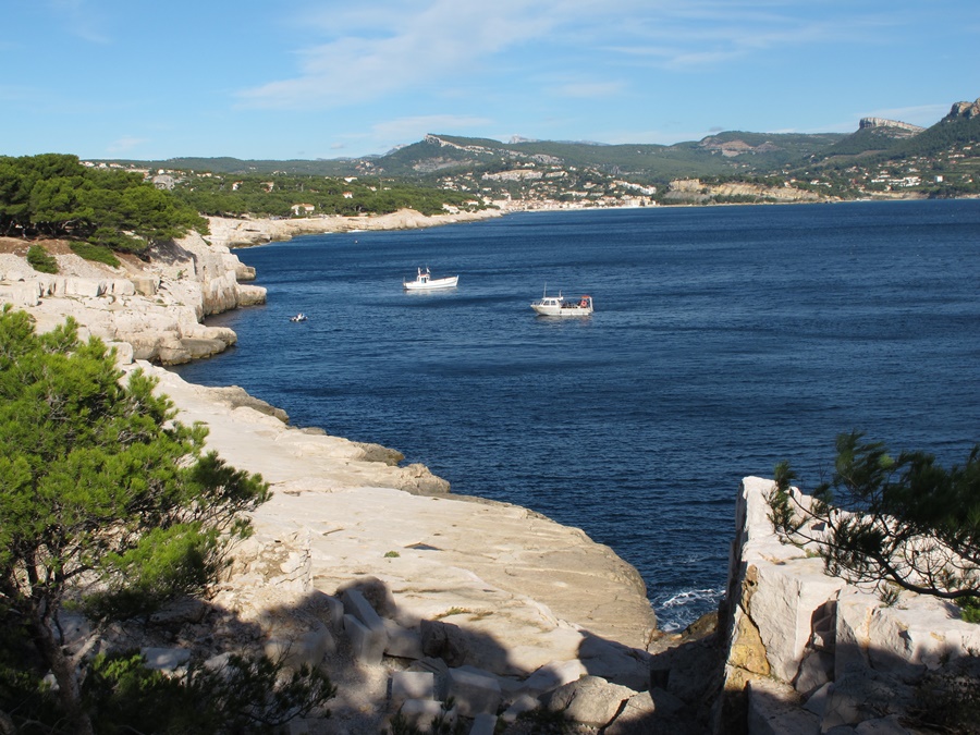
A mon arrivée le vendredi, un déluge de pluie m’a accueilli. Les rues de la ville inondées et l’eau du port d’une couleur marron inhabituelle. Dans la nuit de vendredi à samedi, la pluie a laissé la place au vent. Un mistral violent qui a dégagé le ciel. Samedi, le soleil inondait le paysage, le blanc des rochers, le bleu ou le vert de la mer, mais le vent toujours présent était bien sensible. Malgré tout, en short et tee shirt, j’ai suivi ce début de chemin des calanques par Port Miou, Port Pin et la direction d’En Vau. Mais en week end il y a du monde sur ce chemin très classique. Alors pas de randonnue, mais j’ai réussi à m’isoler pour une bonne heure et demi de bain de soleil, à l’abri du vent, d’abord sur la pointe d’En Vau puis sur les dalles de rocher de la pointe de Cacau.
Dimanche, la course a commencé par une longue attente glaciale près du stade vélodrome, mais dés le départ donné, s’est ensuite déroulé de façon parfaite pour moi. Je me suis senti à l’aise tout au long du parcours et ai effectué un meilleur chrono que prévu.
Le lundi, sur les conseils de Bruno, j’avais prévu une randonnue vers le mont Puget, mais vue la température toujours très froide, j’ai laissé tomber et repris la route pour Grenoble…et la neige!


Missed rendezvous with the creeks.
I signed up for Marseille – Cassis, a mythical twenty-kilometre foot race with the three hundred or so metres of difference in altitude of the passage at the Col de la Gineste. The race takes place on Sunday, October 28th, and I planned to spend a few days in Cassis, at the entrance to the calanques. Unfortunately, the weather was not really good.
When I arrived on Friday, a deluge of rain greeted me. The streets of the city were flooded and the water in the port was an unusual brown color. During the night from Friday to Saturday, the rain gave way to the wind. A violent mistral wind that cleared the sky. On Saturday, the sun flooded the landscape, the white of the rocks, the blue or green of the sea, but the ever-present wind was very noticeable. Despite everything, in shorts and tee shirt, I followed this beginning of the path of the calanques by Port Miou, Port Pin and the direction of En Vau. But during the week end there are people on this very classic path. So no naked hiking, but I managed to isolate myself for a good hour and a half of sunbathing, sheltered from the wind, first on the pointe d’En Vau and then on the rock slabs of the pointe de Cacau.
On Sunday, the race started with a long icy wait near the velodrome stadium, but as soon as the start was given, it went perfectly for me. I felt comfortable all along the course and set a better time than expected.
On Monday, on Bruno’s advice, I had planned a naked hike to Mount Puget, but due to the still very cold temperature, I gave up and headed back to Grenoble…and the snow!

Pravouta et Roc d’Arguile

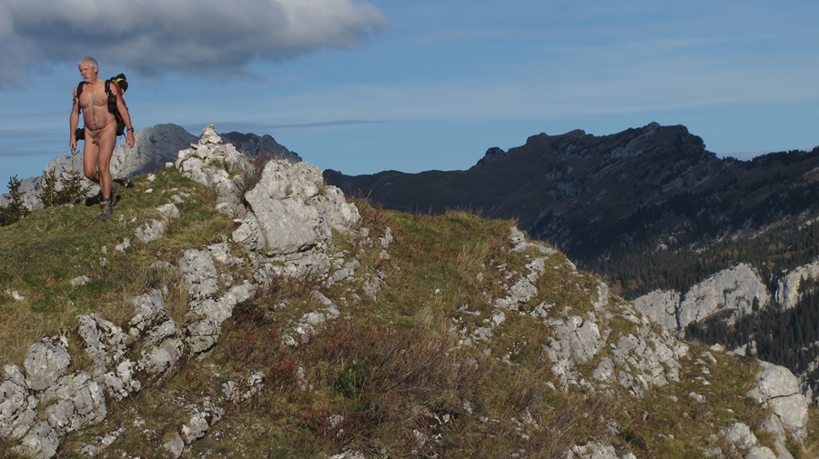
J’ai un lundi de libre, mais comme j’ai déjà marché la veille avec des amis, je me contenterais bien d’une petite balade. Justement, il y a deux geocaches que je m’étais promis de visiter dans le coin. Direction le col du Coq.Il y a cinq ou six voitures sur le parking. J’espérais être seul, c’est raté.
Je pars en short et tee shirt sur la piste qui mène au habert de Pravouta, mais la quitte assez vite pour monter droit dans dans la pente. Je me déshabille aussitôt. La montée n’est pas trés longue, mais bien raide entre pente herbeuse et sapins. J’atteins le sommet de Pravouta. Il n’y a personne, mais je vois tout un groupe qui descend du Roc d’Arguile, mon prochain objectif. Je cherche la première cache dans les environs. Tout occupé, je n’ai pas vu approché un randonneur qui monte et passe en me saluant.
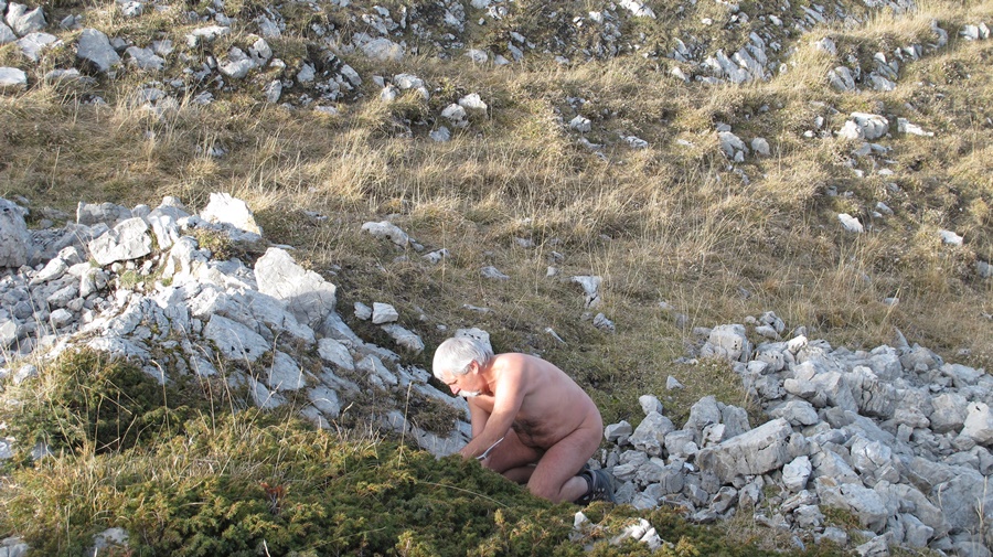
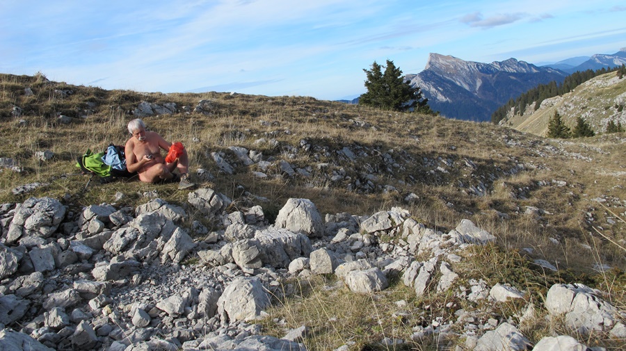
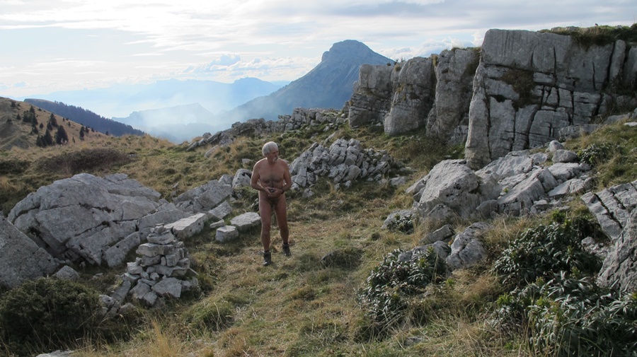
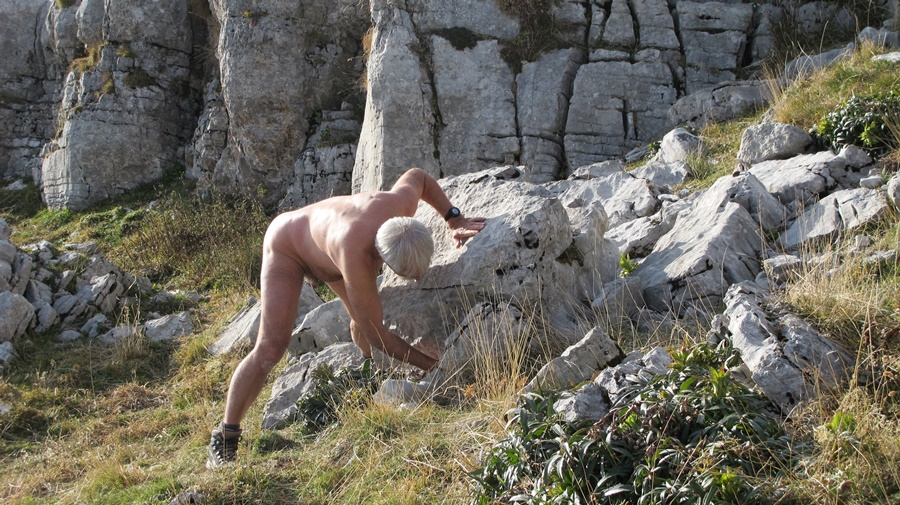
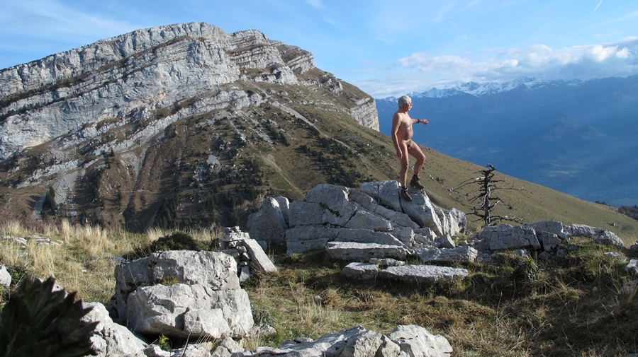
Je rejoins ensuite le Roc d’Arguile. Je suis juste en face de la Dent de Crolles, avec vue plongeante sur le col des Ayes. Deuxième cache, puis casse croûte adossé aux rochers. Ensuite, je traîne dans le coin, jouant sur les rochers, histoire de profiter du soleil et de la nudité, histoire de retarder le moment de redescendre.
Au final 3heures et demi de nudité en cette mi-novembre, c’est toujours appréciable. Et ce soir, il y a une séance de piscine naturiste au programme pour me délasser les muscles!


I have a Monday off, but since I already walked the previous day with some friends, I’d settle for a little stroll. There are two geocaches that I promised myself to visit in the area. There are five or six cars on the parking lot. I was hoping to be alone, but I missed it.
I start in shorts and tee shirt on the track that leads to the habert of Pravouta, but leave it quickly enough to go straight up the slope. I undress immediately. The ascent is not very long, but very steep between grassy slopes and fir trees. I reach the top of Pravouta. There is nobody there, but I see a whole group coming down from the Roc d’Arguile, my next objective. I look for the first cache in the surroundings. All busy, I did not see a hiker approaching who goes up and passes by greeting me.
Then I reach the Roc d’Arguile. I’m just in front of the Dent de Crolles, with a bird’s eye view on the Col des Ayes. Second cache, then snack leaning against the rocks. Then, I hang around, playing on the rocks, just to enjoy the sun and the nudity, just to delay the time to go down.
In the end 3 hours and a half of nudity in this mid-November, it is always enjoyable. And this evening, there is a naturist swimming pool session on the program to relax my muscles!

Lac du Bourget

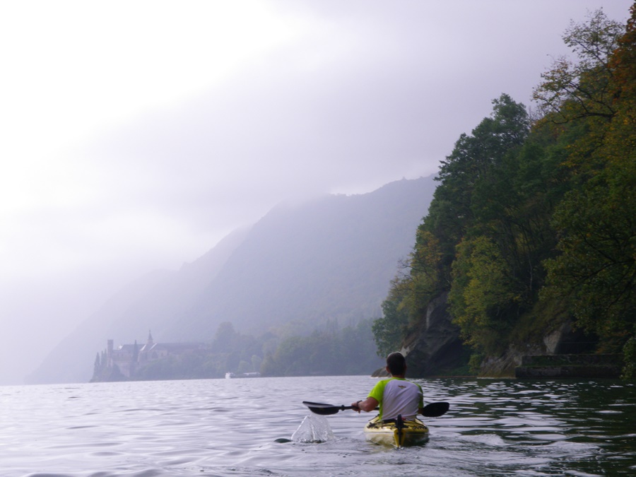
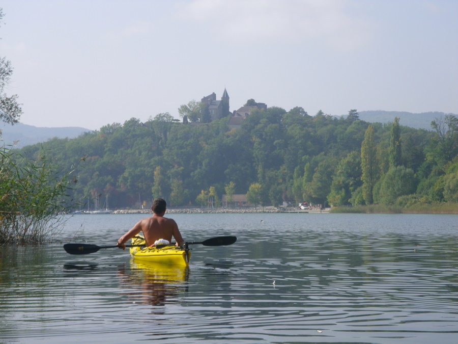
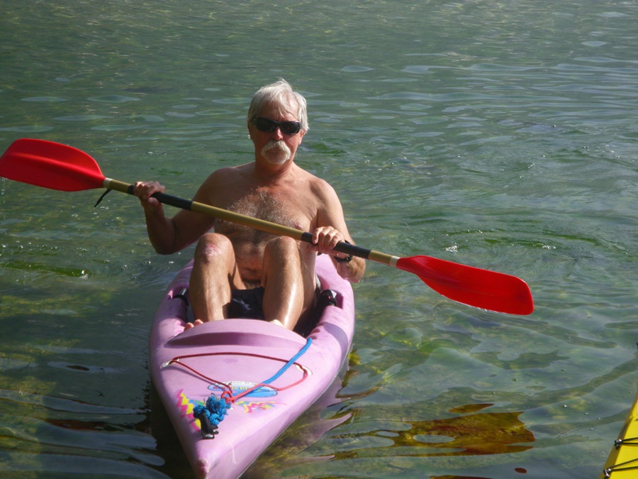
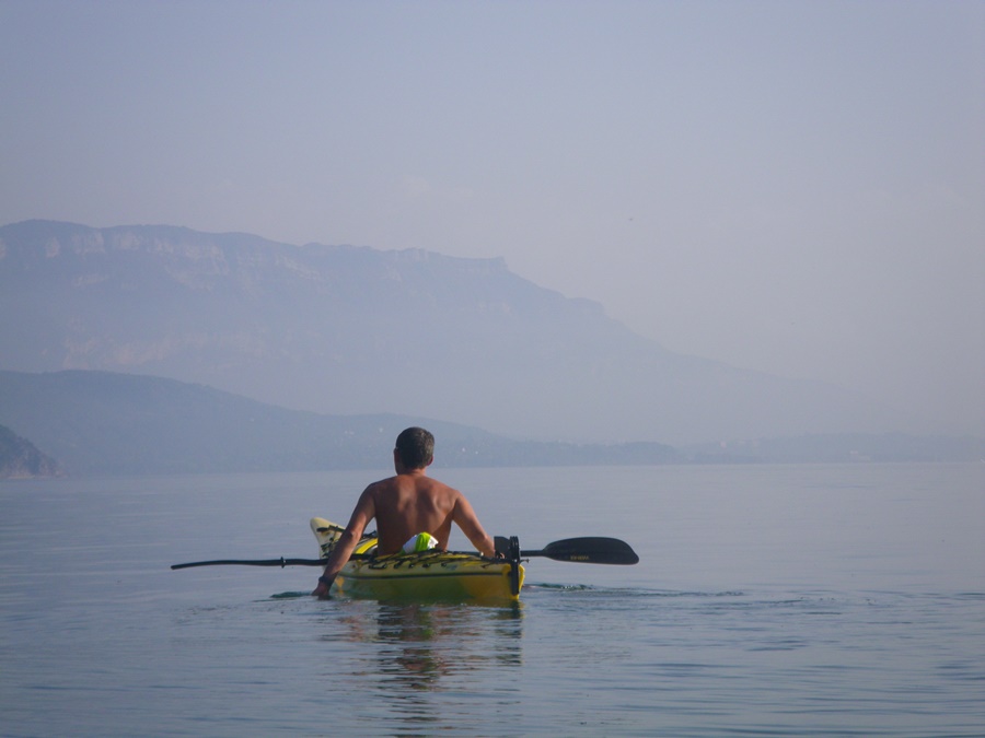
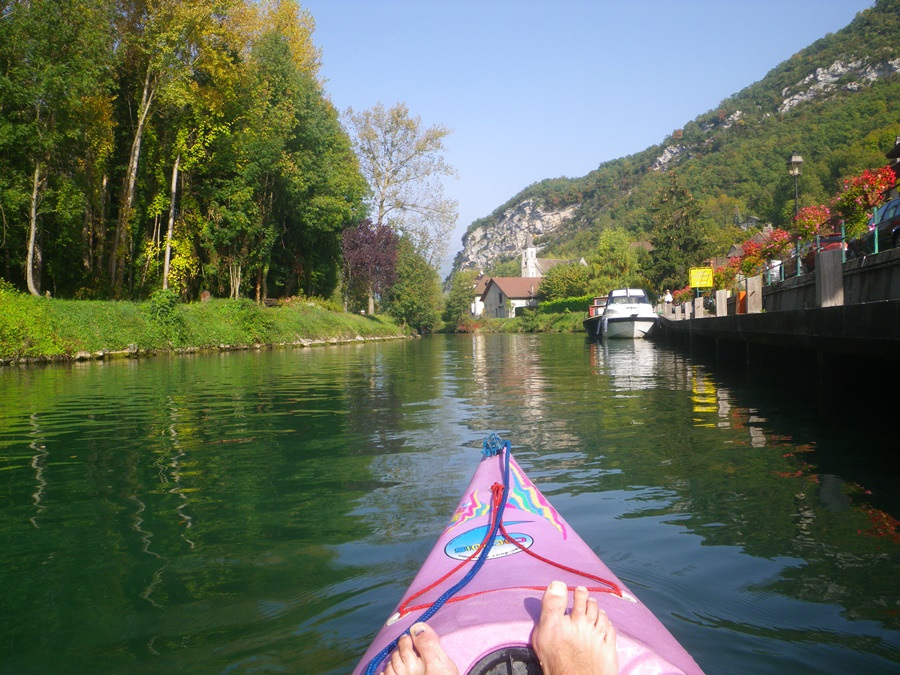
Franck avait proposé par internet une sortie en kayak sur le lac du Bourget. A l’heure dite, nous nous retrouvons dans le petit port de Chatillon, à l’extrémité du lac. Le temps est plutôt maussade, avec un ciel bas, des nuages qui enveloppent le haut des montagnes alentours, une sorte de brume dans les lointains. Qu’importe, nous mettons à l’eau les deux kayaks.
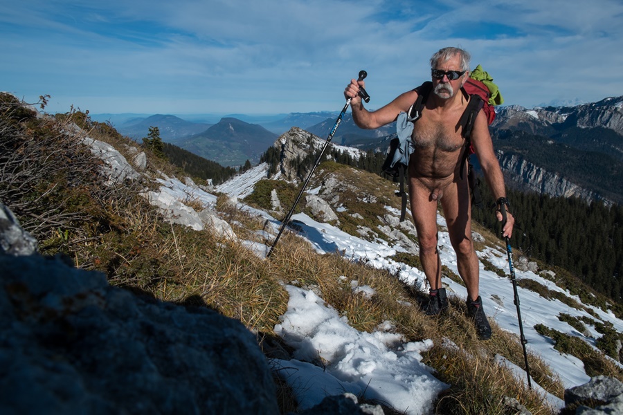
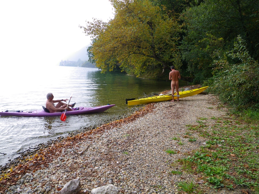
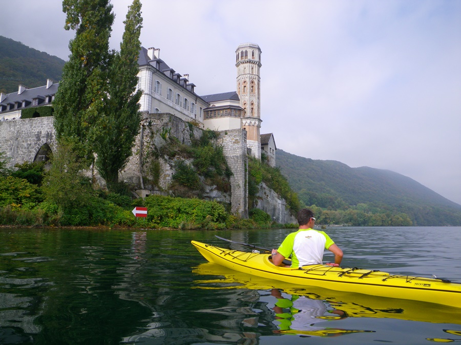
Dès que hors de vue du port, je quitte le maillot de bain mais garde encore quelque temps mon tee shirt, jusqu’à être suffisamment réchauffé pour l’enlever enfin. On passe à l’écart de quelques embarcations de pêcheurs chaudement habillés. Nous laissons l’entrée du canal de Savières, longeons la côte du village Conjux, nous arrêtons un moment sur une petite plage, histoire de se dégourdir les jambes et en profiter pour visiter la grotte de Lamartine. Le soleil fait une timide apparition lorsque nous arrivons au pied des murs de l’abbaye d’Hautecombe.
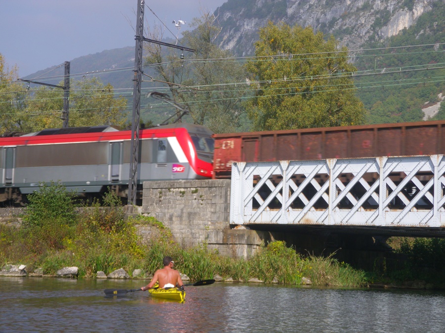
De là, nous traversons le lac en diagonale pour rejoindre la rive opposée vers la falaise de la Pierre du Quart. Arrêt casse croûte sur une plage de galet, protégée par une haie d’arbre des voie ferrée et route toutes proches. Puis on repart en longeant les roselières, approchant cygnes et oiseaux. Arrivés à proximité de Chatillon et puisque l’on a encore du temps, on décide de faire le canal de Savières.
A l’entrée, je remet mon maillot de bain. C’est que l’endroit est fréquenté. Nous croisons vedettes de promenades touristiques, yachts à moteurs, hors bords et kayaks. En outre, le canal passe devant des maisons et longe de temps en temps la route. Demi tour à Chanaz. Nous retrouvons le lac, maintenant sous un ciel complètement bleu, mais avec toujours cette brume bleutée qui enrobe les lointains. On rentre au port. Les bras et les mains commencent à sentir la fatigue: on a fait quelques vingt cinq kilomètres au total.
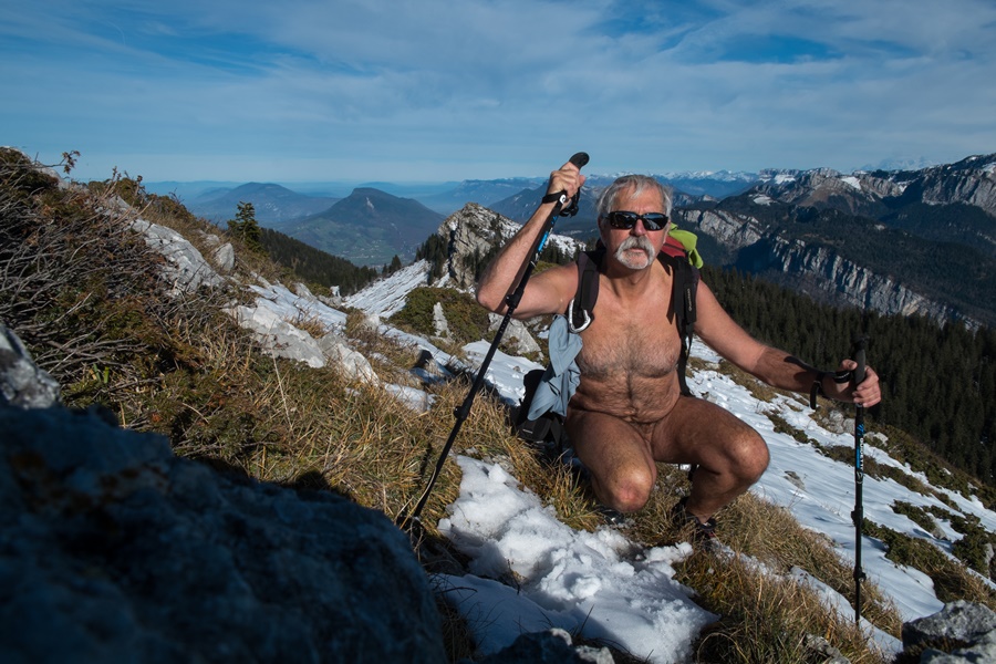

Franck had proposed by internet a kayak trip on the Lac du Bourget. At the time, we meet in the small port of Chatillon, at the end of the lake. The weather is rather gloomy, with a low sky, clouds enveloping the tops of the surrounding mountains, a kind of mist in the distance. Anyway, we launch the two kayaks.
As soon as out of sight of the harbor, I leave the swimsuit but keep my shirt on for a while, until I’m warm enough to finally take it off. We pass by a few warmly dressed fishing boats. We leave the entrance of the canal of Savières, go along the coast of the village Conjux, we stop for a while on a small beach, just to stretch our legs and take the opportunity to visit the cave of Lamartine. The sun makes a timid appearance when we arrive at the foot of the walls of Hautecombe Abbey.
From there, we cross the lake diagonally to reach the opposite shore towards the Pierre du Quart cliff. Stop for a snack on a pebble beach, protected by a tree hedge from the nearby railway and road. Then we set off again along the reed beds, approaching swans and birds. Arrived near Chatillon and since there is still time, we decide to make the canal of Savières.
At the entrance, I put my swimsuit back on. It is because the place is frequented. We come across touring boats, motor yachts, outboard motor yachts and kayaks. In addition, the canal passes in front of houses and runs along the road from time to time. Half turn at Chanaz. We find the lake again, now under a completely blue sky, but still with that blue mist that envelops the far away. We return to the port. Our arms and hands start to feel tired: we have travelled some twenty-five kilometres in total.

Ornon

Durant l’été, je me suis raccroché à une invitation lancée sur la liste du groupe yahoo rando-nue pour une rando près de Bourg d’Oisans. Je n’avais pas prévenu que je participais et n’ayant que quelques heures de libre avant des rendez vous professionnels, j’ai dû faire demi tour avant la fin de la balade. J’ai néanmoins été très bien accueilli.
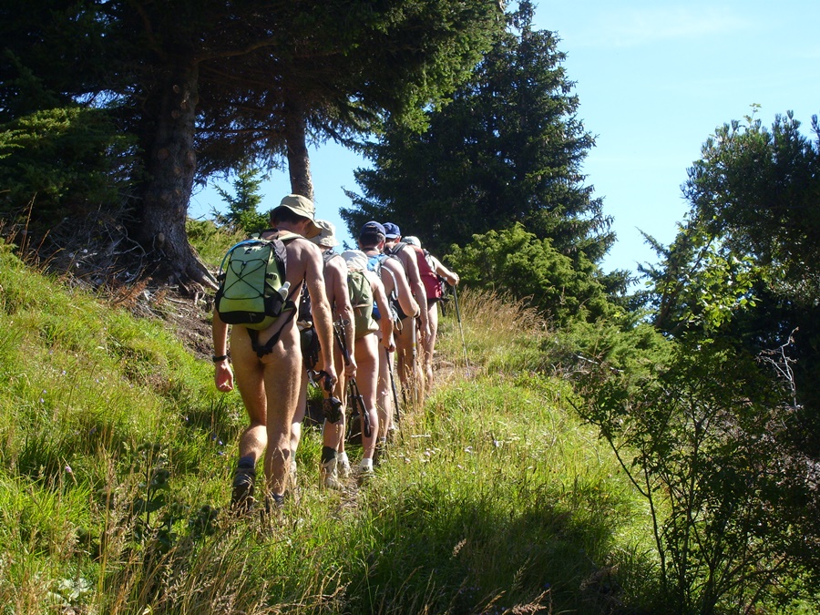
D’un parking au dessus du village d’Ornon, tout de suite nus, nous avons évité le chemin quelque peu fréquenté qui mène au lac Fourchu et nous avons attaqué la montée par un sentier en zigzag vers une bergerie puis le refuge, fermé, du Taillefer avant de continuer sur cette zone de petits lacs située entre le pied du Taillefer et le sommet du Grand Galbert, objectif avoué de certains.
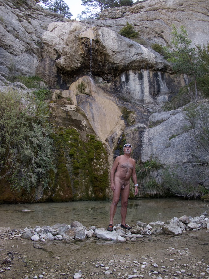
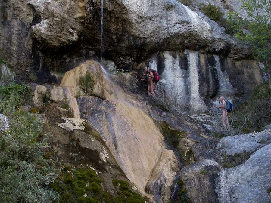
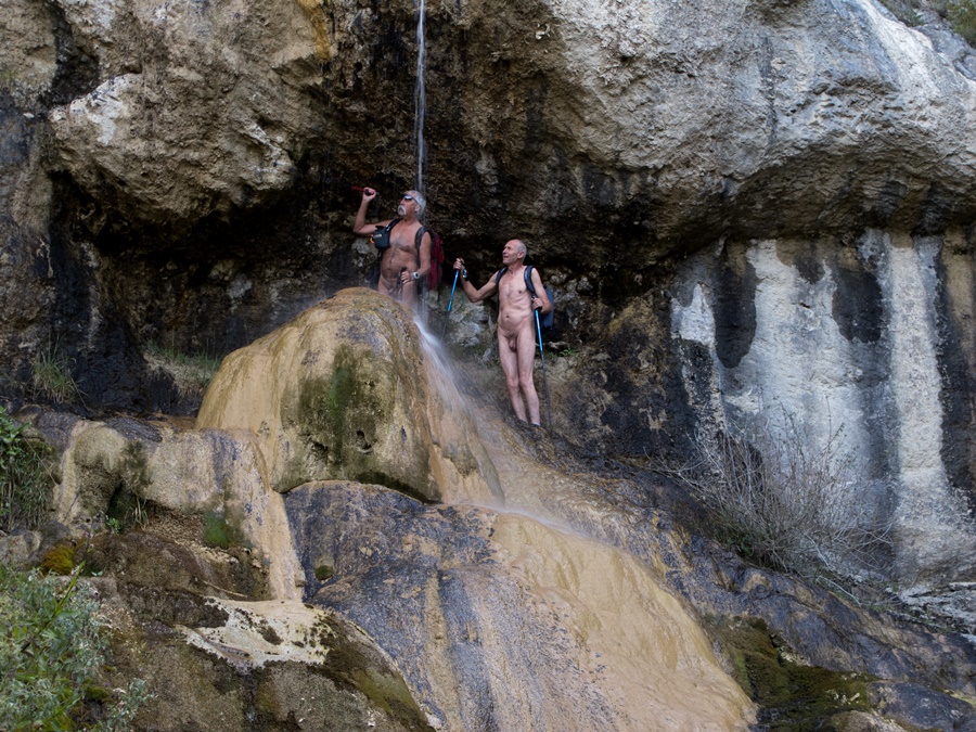
Vue panoramique tout au long du parcours depuis le massif des Rousses et l’Alpe d’Huez jusqu’à la Meije et le glacier de la Girose, le haut des Deux Alpes d’un coté, sur le col d’Ornon et le Taillefer de l’autre, et depuis le plateau un aperçu sur la station de Chamrousse à l’extrémité de Belledonne.
Dans ce petit groupe, j’avais déjà marché avec Michel à l’occasion d’une sortie dans les Bauges et croisé Franck. Mais j’ai surtout été heureux de rencontrer Doug, un néo zélandais dont je connaissais le site internet. Il est l’un des premiers à avoir mis en ligne récits et images de randonnues. Son site est parmi ceux qui m’ont motivé et servi d’exemple. Cela a été un réel plaisir de le trouver là en chair et en os! Je regrette seulement de n’avoir pas eu plus de temps disponible. J’ai quitté le groupe en vitesse et suis redescendu droit dans la pente pour rejoindre le parking et retourner au travail.
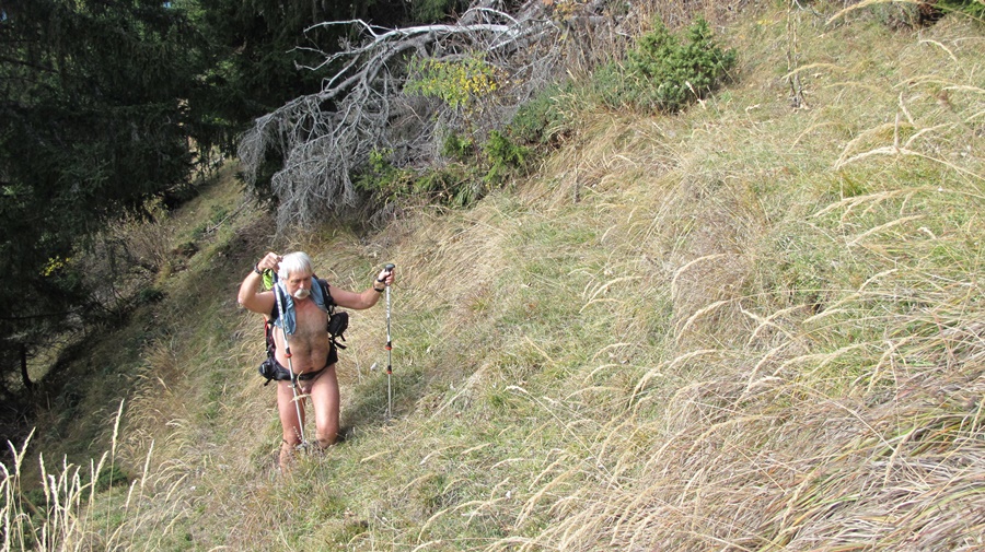
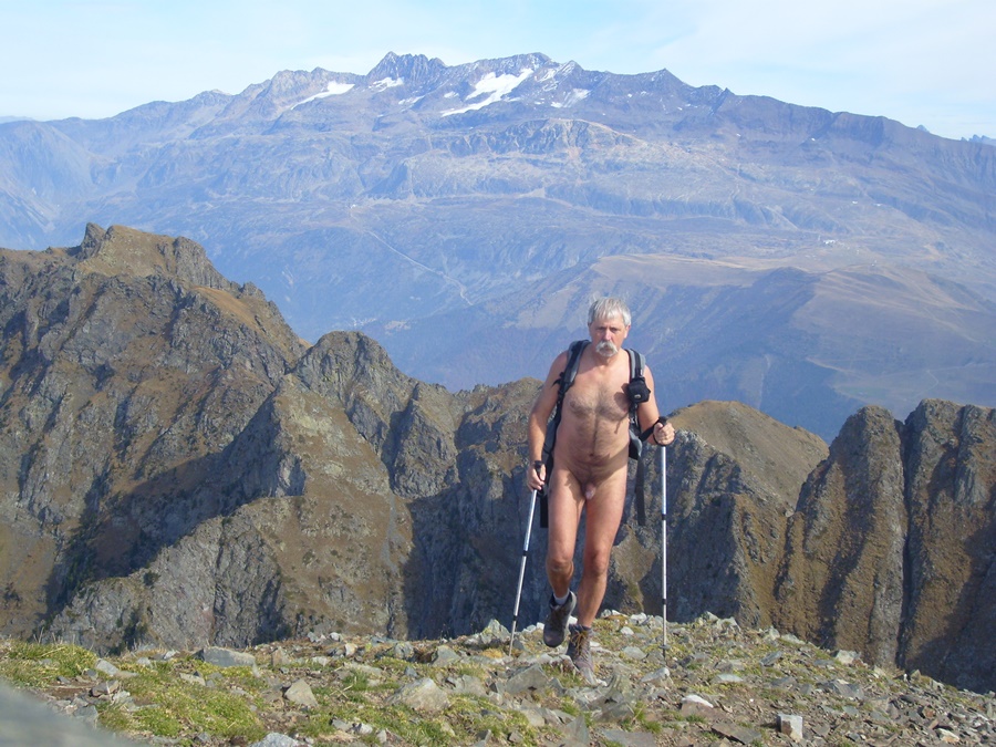
J’ai refait cette même balade au mois d’octobre, tout seul, mais dans son intégralité. En grimpant jusqu’aux sommets du Grand Galbert, marqués par trois gros cairns. En fait, c’est plutôt une grosse bosse caillouteuse. Mais de la-haut, on a une belle vue sur la vallée de Bourg d’Oisans. Pour éviter un berger et son troupeaux qui se sont engagés sur l’itinéraire que je voulais prendre, j’ai choisi de revenir en faisant un détour en suivant une vague trace dans la pente. Ce sera la seule présence humaine aperçue durant les cinq heures et quelques de la balade, faites nu du début à la fin.

During the summer, I grabbed an invitation from the yahoo rando-nu list for a hike near Bourg d’Oisans. I hadn’t warned that I was taking part and having only a few hours free before professional appointments, I had to turn back before the end of the hike. Nevertheless, I was very well received.
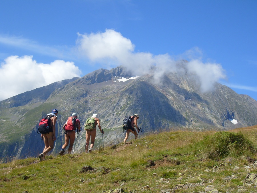
From a car park above the village of Ornon, immediately naked, we avoided the somewhat busy path leading to Lake Fourchu and we attacked the ascent by a zigzag path towards a sheepfold and then the closed Taillefer hut before continuing on this area of small lakes located between the foot of Taillefer and the summit of Grand Galbert, an avowed objective of some.
Panoramic view all along the route from the Rousses massif and the Alpe d’Huez to the Meije and the Girose glacier, the top of the Deux Alpes on one side, on the Col d’Ornon and the Taillefer on the other, and from the plateau a glimpse of the resort of Chamrousse at the end of Belledonne.
In this small group, I had already walked with Michel during an outing in the Bauges and crossed Franck. But I was especially happy to meet Doug, a New Zealander whose website I already knew. He is one of the first to have put online stories and pictures of naked hikes. His site is among those that motivated me and served as an example. It was a real pleasure to find him there in the flesh! I only regret not having had more time available. I left the group in a hurry and went straight down the slope to the parking lot and back to work.
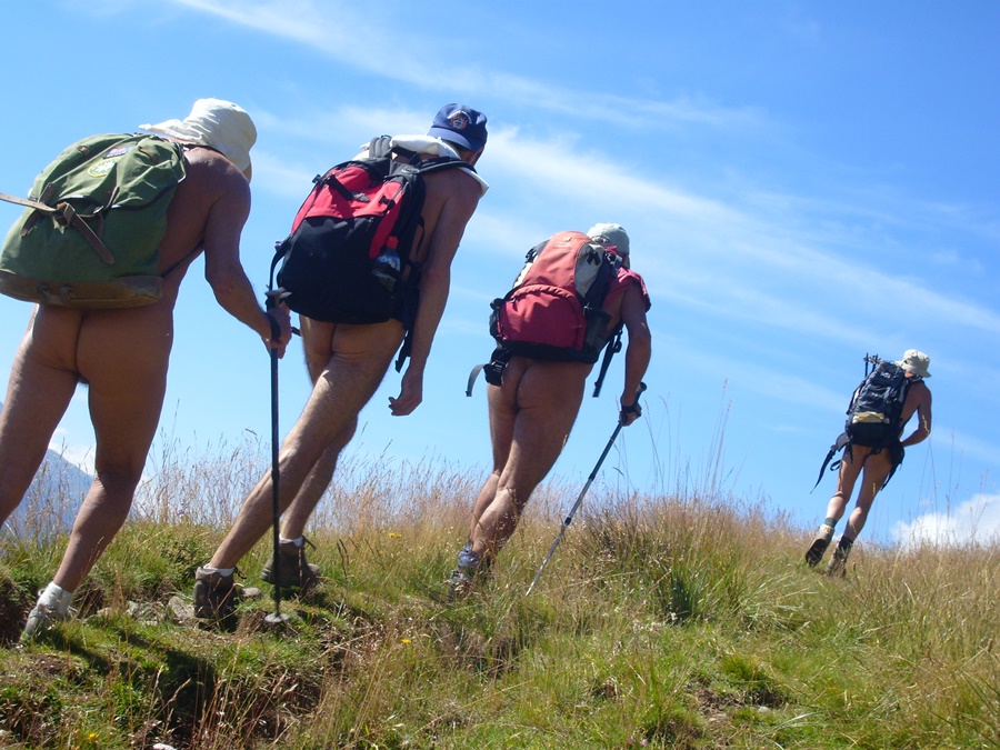
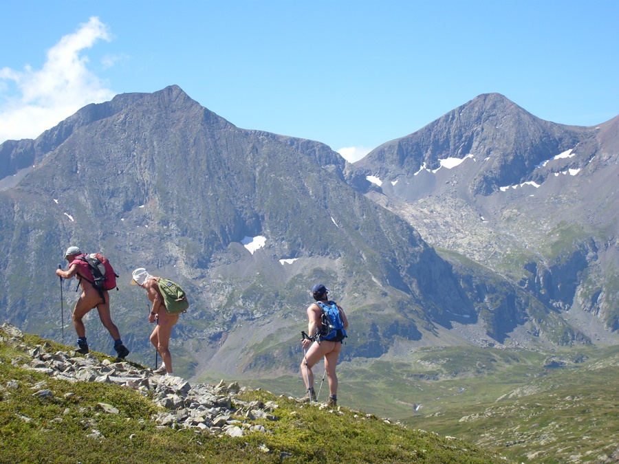
I did the same walk again in October, alone, but in its totality. Climbing to the top of the Grand Galbert, marked by three big cairns. In fact, it’s more like a big rocky bump. But from up there, we have a beautiful view of the valley of Bourg d’Oisans. To avoid a shepherd and his flock who took the route I wanted to take, I chose to come back by making a detour following a vague trace in the slope. This will be the only human presence seen during the five hours or so of the walk, made naked from start to finish.

Lac Fourchu

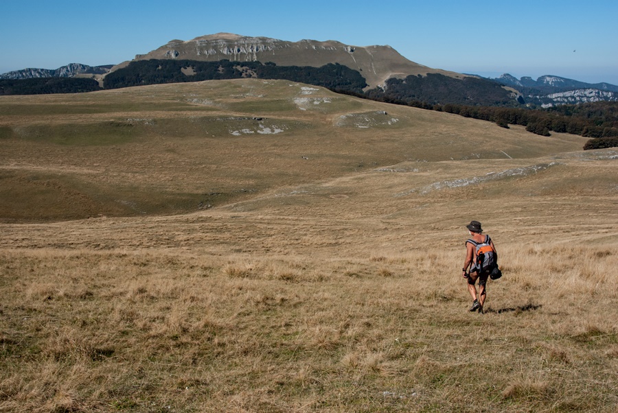
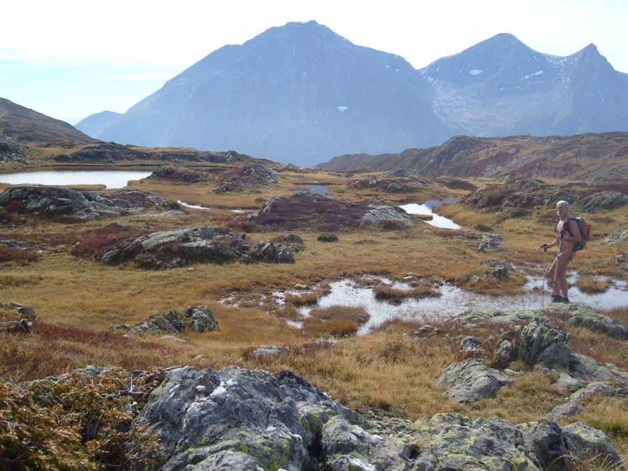
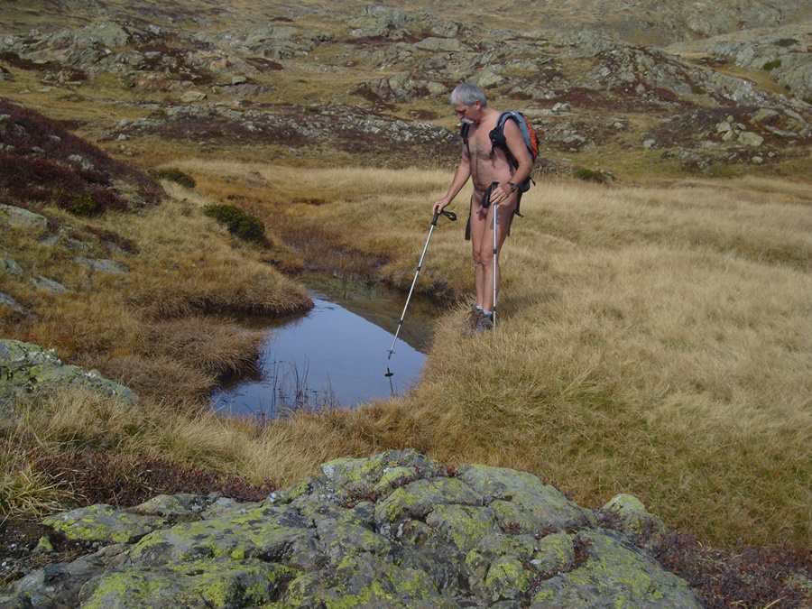
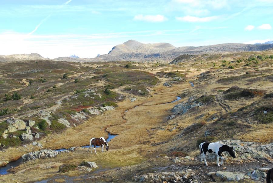
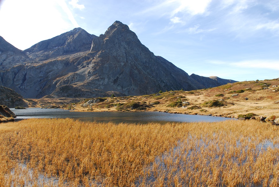
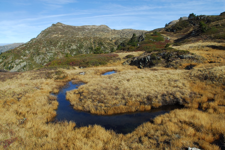
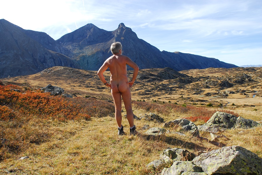
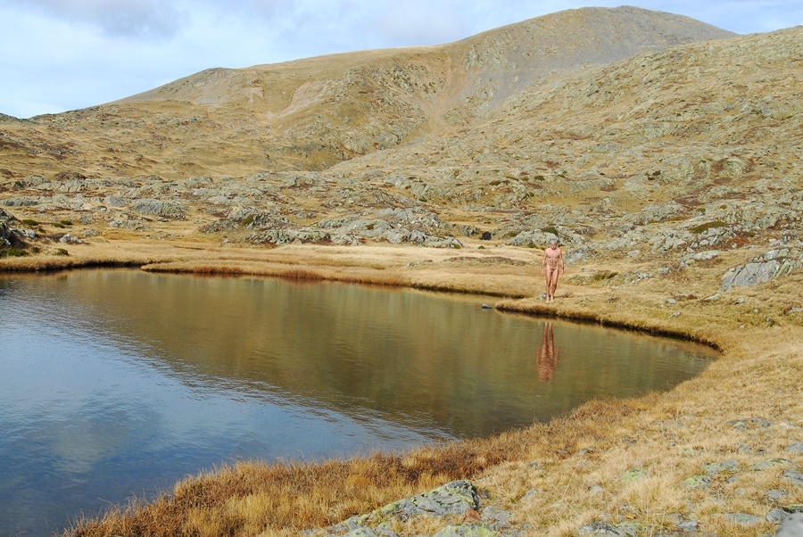
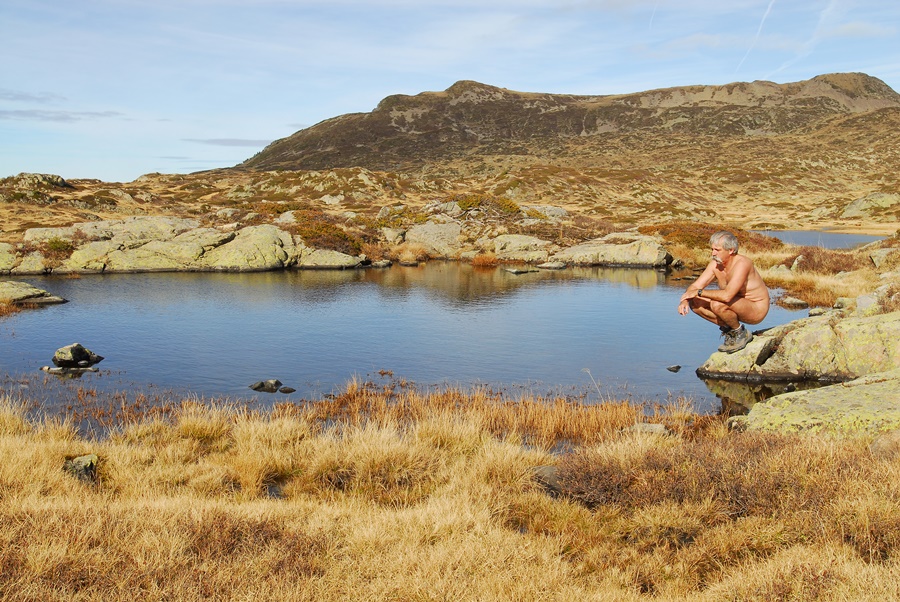
Au pied du massif du Taillefer, le lac Fourchu offre à une heure de marche un décor d’eau et de rochers qui attire facilement randonneurs, pêcheurs, vététistes ou simples promeneurs. Mais au lieu de rester sur les rives trop fréquentées de ce lac, il est possible de continuer en direction d’une vaste zone bien moins visitée. C’est sans doute les restes du socle d’un ancien glacier qui a modelé le sol en d’innombrables creux et bosses jusqu’aux crêtes qui bordent la vallée de la Romanche. Bosses de rochers, creux d’herbe rase parsemés de filets d’eau, de lacs, de mares ou simple trous d’eau, miroirs éclatants qui reflètent la lumière au milieu d’une herbe jaune d’automne. Le sol y est alternativement dur et marécageux. Pour s’orienter, il suffit de viser le Taillefer d’un coté, la pointe du Grand Galbert, de l’autre.
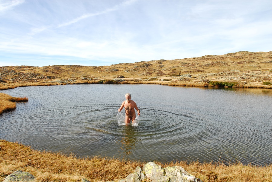
C’est dans cet environnement que j’ai passé un dimanche. J’ai même pris un (court) bain à 2200 mètres d’altitude en cette fin de mois d’octobre. C’est l’effet de l’été indien! Et dans ce labyrinthe, j’ai passé l’après midi à jouer à cache cache avec les quelques groupes de randonneurs qui s’étaient eux aussi aventurés dans le coin, eux apparaissant au sommets d’une crête, moi disparaissant derrière les buttes de rochers, coupant droit dans la pente pour éviter les sentiers ou m’étendant tranquillement pour bronzer au bord de l’eau. Au final: 4heures 45 de nudité (marche et bain de soleil) pour une sortie de plus de 7 heures!


At the foot of the Taillefer massif, Lake Fourchu offers an hour’s walk away a scenery of water and rocks that easily attracts hikers, fishermen, mountain bikers or simple walkers. But instead of staying on the overly frequented shores of this lake, it is possible to continue towards a vast area that is much less visited. It is undoubtedly the remains of the base of an ancient glacier that has shaped the ground into innumerable hollows and bumps up to the ridges that border the Romanche valley. Bumps of rock, hollows of short grass dotted with streams, lakes, ponds or simple water holes, bright mirrors that reflect the light in the middle of a yellow autumn grass. The ground is alternately hard and swampy. To find your way around, simply aim at the Taillefer on one side, the tip of the Grand Galbert on the other.
It is in this environment that I spent one Sunday. I even took a (short) bath at an altitude of 2200 metres at the end of October. This is the effect of the Indian summer! And in this labyrinth, I spent the afternoon playing hide and seek with the few groups of hikers who had also ventured into the area, they appearing at the top of a ridge, me disappearing behind the rocky buttes, cutting right into the slope to avoid the paths or lying quietly to sunbathe by the water. In the end: 4 hours 45 of nudity (walking and sunbathing) for an outing of more than 7 hours!

La barrière est

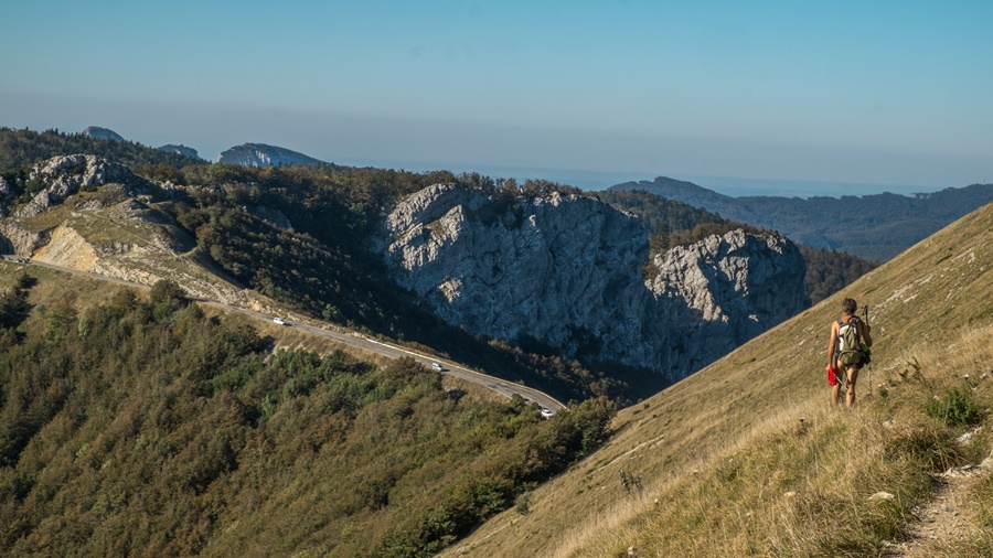
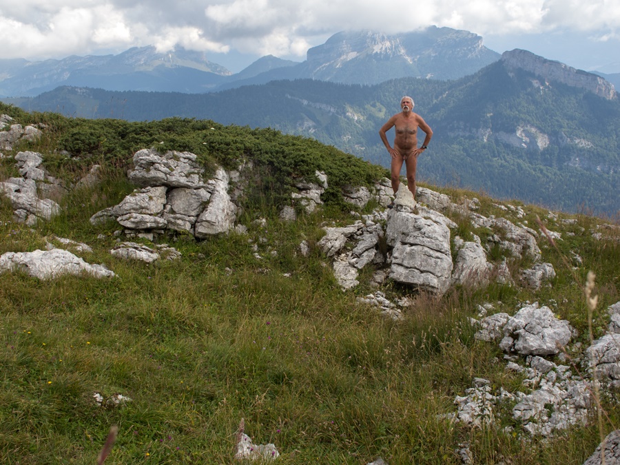
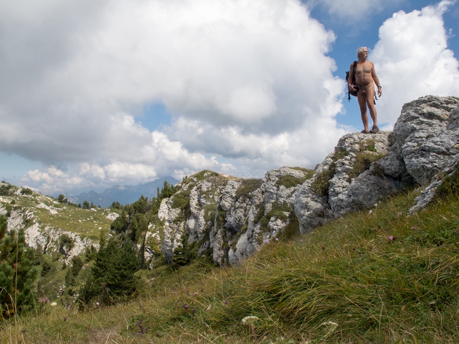
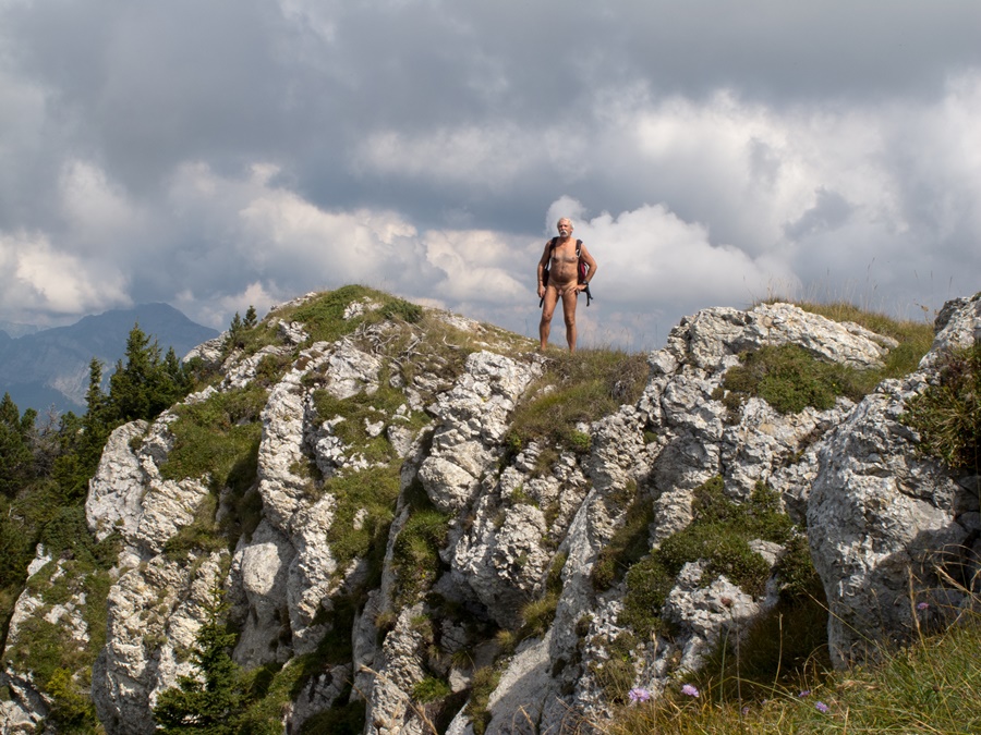
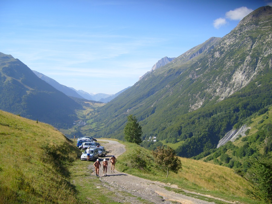
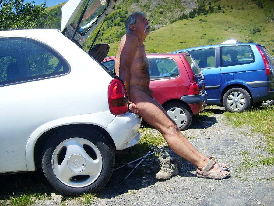
Ce dernier vendredi de septembre, je suis à 9h30 au bout de la route forestière de Prelenfrey, au pied du Vercors. Il y a déjà 5 ou 6 voitures, dont un véhicule de l’armée, sur le parking, et deux grimpeurs qui observent les falaises. J’entame donc la balade en short et tee shirt.
Une petite vingtaine de minutes plus tard je trouve la baraque des Clots ouverte avec un groupe à l’intérieur. Je me permets donc de penser que ce sont les propriétaires des voitures et que je peux me déshabiller dès j’ai dépassé la baraque.
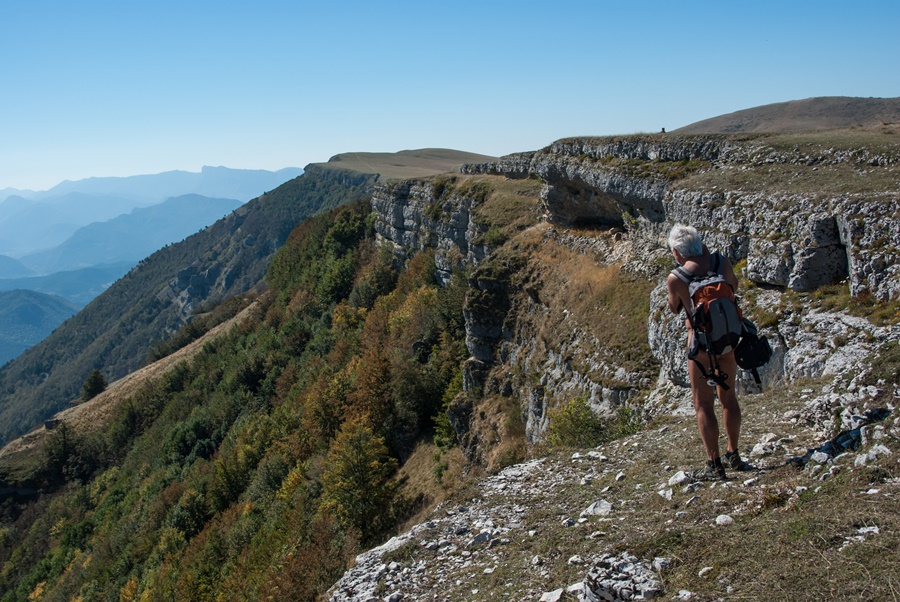
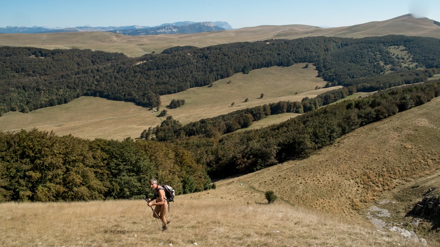
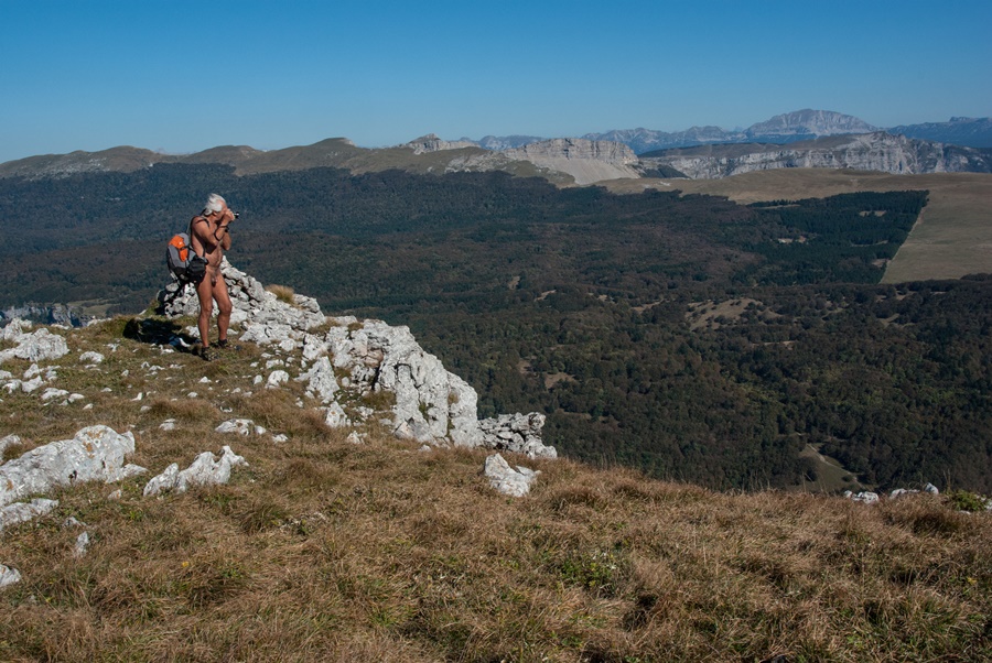
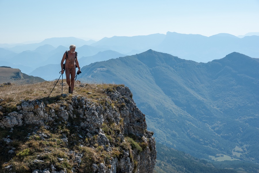
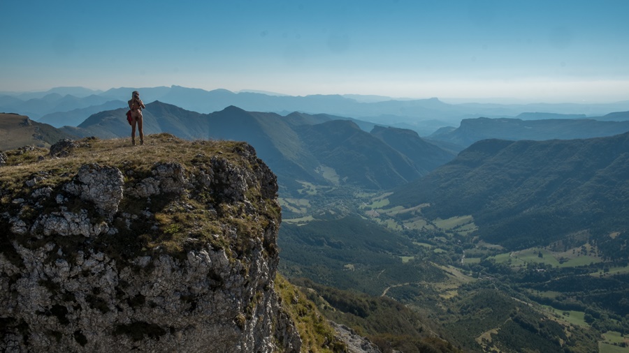
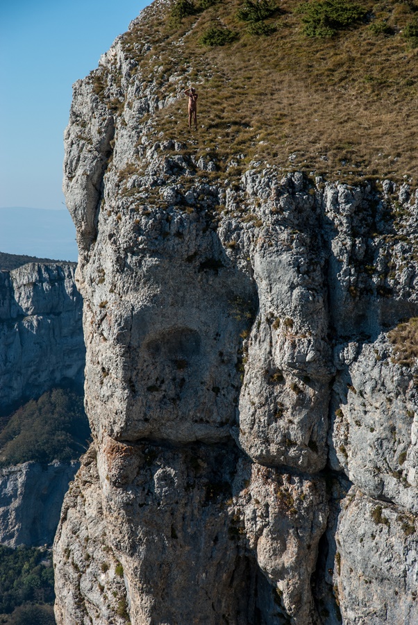
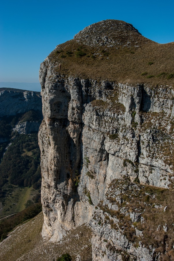
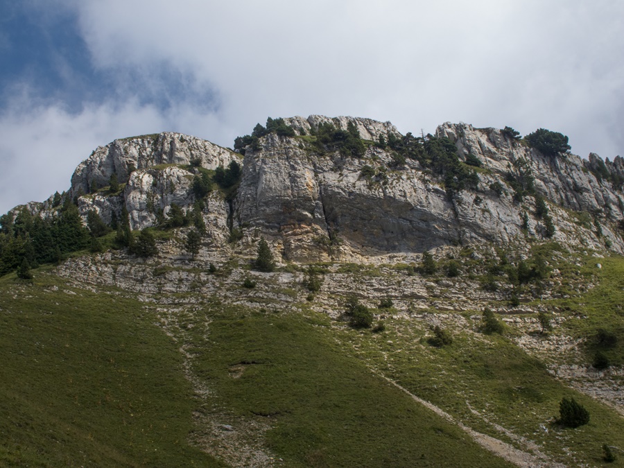
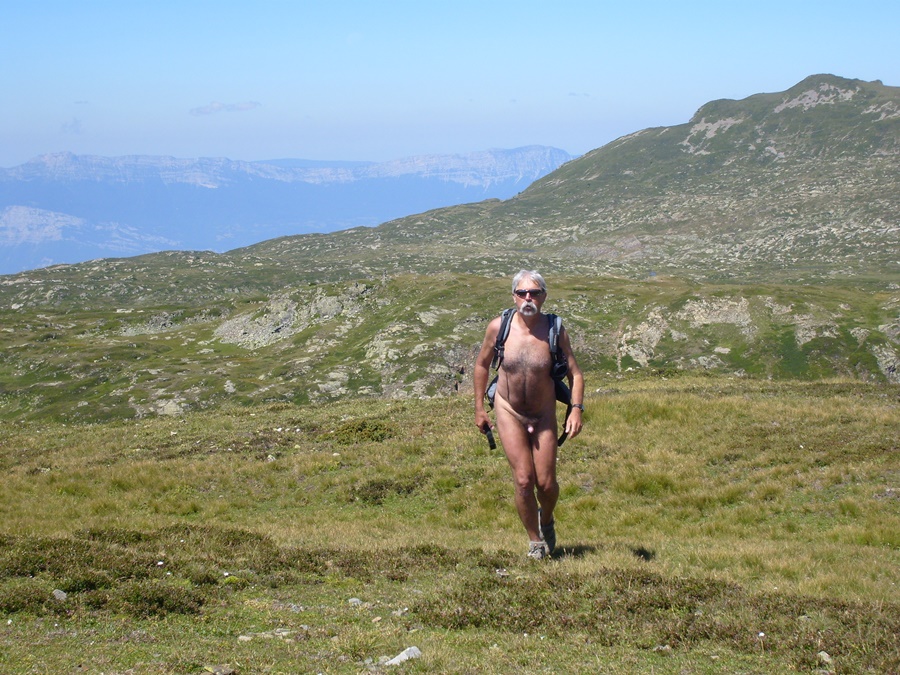
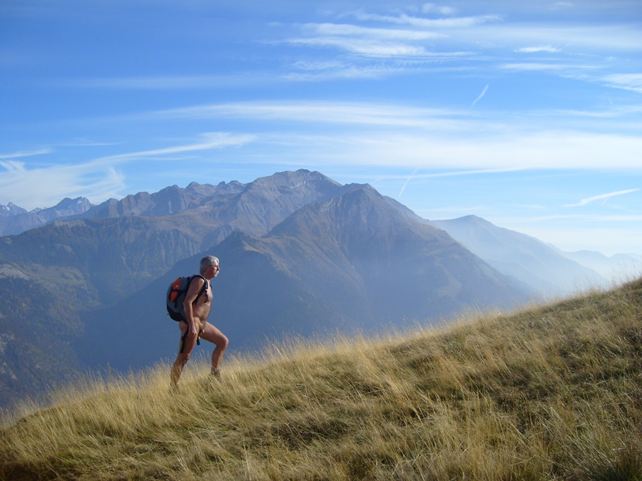
Il fait grand beau. Le soleil a réchauffé l’atmosphère matinale. A travers un long pierrier, le chemin monte vers la barrière de falaises. Le pas de l’Oeille se cache par là, difficile à deviner. Au pied du mur vertical, des marques de peinture rouge sur les pierres indiquent la voie qui se faufile entre les barres rocheuses. Ce n’est pas spécialement exposé, ni vertigineux, quoique par temps humide ça doive glisser quelque peu. On débouche soudain dans la prairie des hauts plateaux, juste devant le sommet du Gerbier. C’est un tout autre décor que cette barrière est du Vercors: une longue crête qui remonte au le nord vers le Col Vert puis le Col de l’Arc en direction du Moucherotte. En contrebas les remontées mécaniques et les gares supérieures de la station de Villard de Lans. Tout en bas, le village.
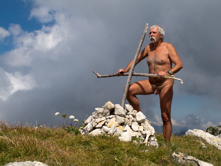
Il n’y a absolument personne! Je traîne un peu dans le coin, à profiter de la vue panoramique: l’agglomération grenobloise au fond de la vallée, les sommets de Chartreuse, notamment la Dent de Crolles, puis les Bauges, et au fond le Mont Blanc; en revenant vers la droite les massifs de Belledonne et des Rousses, les glaciers de l’Oisans et enfin le Devoluy avec l’Obiou et le Ferrand. J’ai la plus grande partie des alpes françaises rien que pour moi!
Mais bon, si je veux faire une boucle, il reste encore du chemin. Descendre quelque peu, puis remonter vers le Col Vert et revenir vers Prelenfrey par le sentier du Balcon Est.
J’ai pris une telle dose de soleil que je suis tout content pour finir de trouver une traversée de sous bois qui me rafraîchisse enfin. Et pourtant, c’est déjà l’automne. Au total ce ne sera pas loin de six heures de balade, dont une demi heure seulement habillé, les 20 minutes du début et le passage du col.


This last Friday of September, I am at 9:30 am at the end of the forest road of Prelenfrey, at the foot of the Vercors. There are already 5 or 6 cars, including an army vehicle, on the car park, and two climbers watching the cliffs. So I start the walk in shorts and tee shirt.
About twenty minutes later I find the Clots hut open with a group inside. I allow myself to think that they are the owners of the cars and that I can undress as soon as I pass the hut.
The weather is great. The sun has warmed the morning atmosphere. Through a long scree, the path climbs towards the cliff barrier. The « Pas de l’Oeille » is hidden there, hard to guess. At the foot of the vertical wall, red paint marks on the stones indicate the path that winds its way between the rocky bars. It’s not particularly exposed, nor dizzying, although in wet weather it must slide somewhat. Suddenly you emerge in the high plateau meadow, just in front of the Gerbier summit. It’s a completely different scenery than this eastern barrier of the Vercors: a long ridge that goes up north towards the Col Vert and then the Col de l’Arc towards the Moucherotte. Below the ski lifts and the upper stations of the resort of Villard de Lans. At the very bottom, the village.
There is absolutely nobody! I hang around a bit, enjoying the panoramic view: the Grenoble area at the bottom of the valley, the peaks of Chartreuse, especially the Dent de Crolles, then the Bauges, and at the background the Mont Blanc; coming to the right the massifs of Belledonne and des Rousses, the glaciers of Oisans and finally Devoluy with the Obiou and Ferrand. I have most of the French Alps all to myself!
But hey, if I want to make a loop, there’s still a long way to go. Go down a bit, then up to the Col Vert and back to Prelenfrey via the Balcony East path.
I took such a dose of sunshine that I’m quite happy to finally find an undergrowth traverse that refreshes me at last. And yet, it’s already autumn. In total it will not be far from six hours of walking, including only half an hour with clothes on, the 20 minutes of the beginning and the passage of the pass.

Le Conest

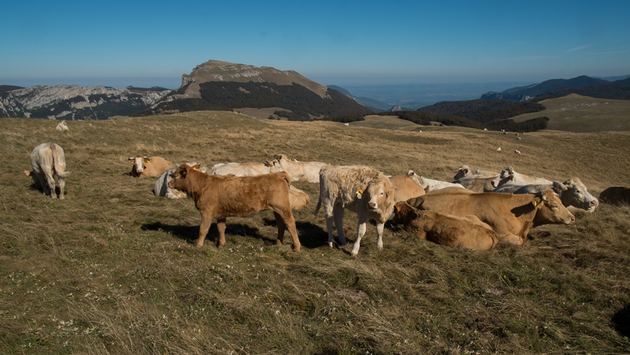
Un matin, je quitte la ville sans même savoir où je vais aller. Tout en roulant, la crête de la montagne du Conest m’attire, c’est un coin que je ne connais pas. Je roule jusqu’à quelques kilomètres de la Motte, me gare sur le bas-côté et pars au hasard. Je n’ai même pas pris de carte. Je reste habillé au début, il y a deux hameaux à traverser, et bien m’en a pris, car je dois franchir une zone d’épineux et de ronces.
Sorti du bois, je me déshabille et grimpe droit dans la pente, bien raide. Je suis à la verticale du village de Vaux. J’atteins un sommet tout rond à 1710 m d’altitude, balayé par un vent frais. D’un coté le Vercors, de l’autre les crêtes du Tabor que j’ai parcouru en randonnue au printemps précédent. En contrebas une mare desséchée et quelques buttes qui dominent la vallée du Drac, avec l’agglomération grenobloise juste devant. Je traîne un peu dans le coin puis reviens par un chemin dans la foret.
Je me rhabille un peu avant la vallée. A part deux randonneurs tout au loin, je n’ai vu personne sinon quelques vaches.
C’était une petite balade de 4 heures, dont 2 heures et demi nu. J’ai même le temps de passer au bureau en rentrant.


One morning, I leave the city without even knowing where I am going. While driving, the ridge of the mountain of the Conest attracts me, it is an area that I don’t know. I drive a few miles from La Motte, park on the side and go at random. I did not even take a map. I remain dressed at first, there are two hamlets to cross, and it was well, because I have to cross an area of ​​thorny and brambles.
Out of the woods, I undress and climb straight up the steep slope. I am vertically in the village of Vaulx. I reach a summit all round at 1710 m altitude, swept by a cool breeze. On one side the Vercors, on the other the crests of the Tabor that I traveled naked hiking in the previous spring. Below a deserted pond and a few hills that dominate the valley of the Drac, with the agglomeration of Grenoble just in front. I walk a little in the area and then come back by a path in the forest.
I dressed up a little before the valley. Apart from two hikers far away, I saw no one but a few cows.
It was a short stroll of 4 hours, of which 2 hours and a half naked. I even had time to go to the office on my way home.