Mizoën

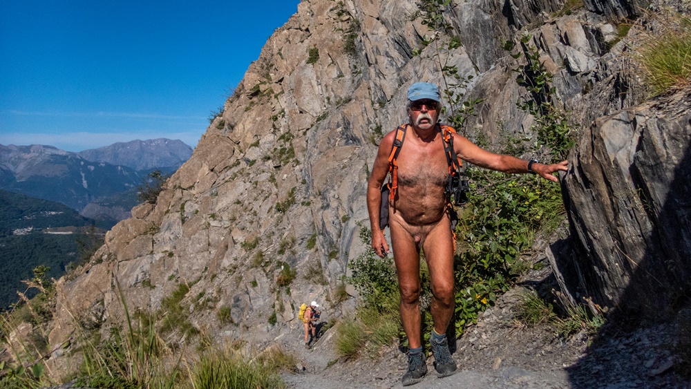
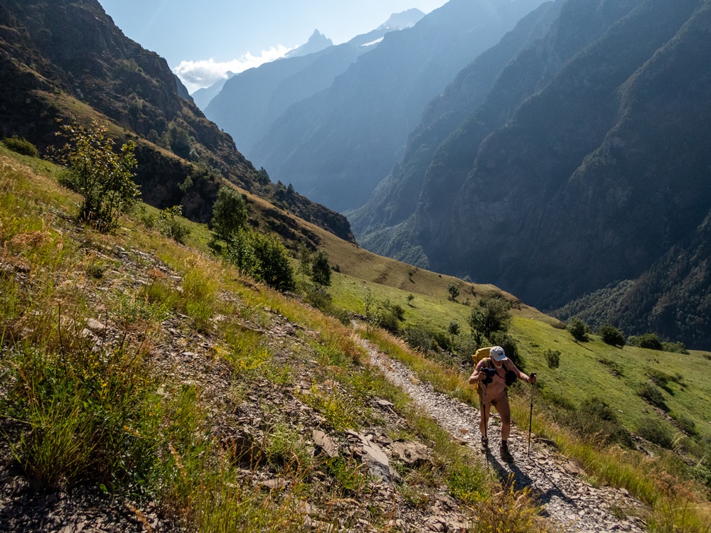
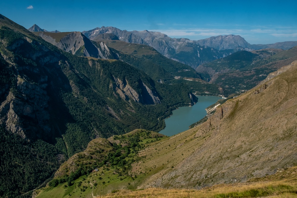
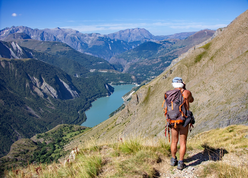
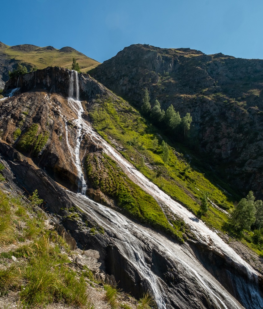
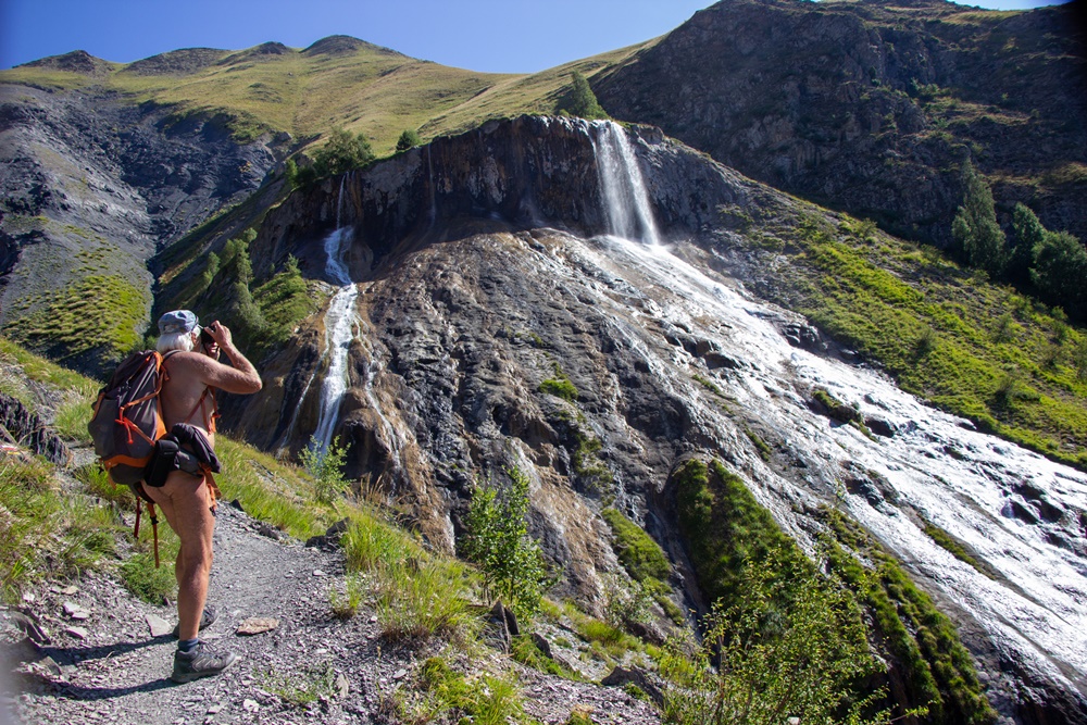
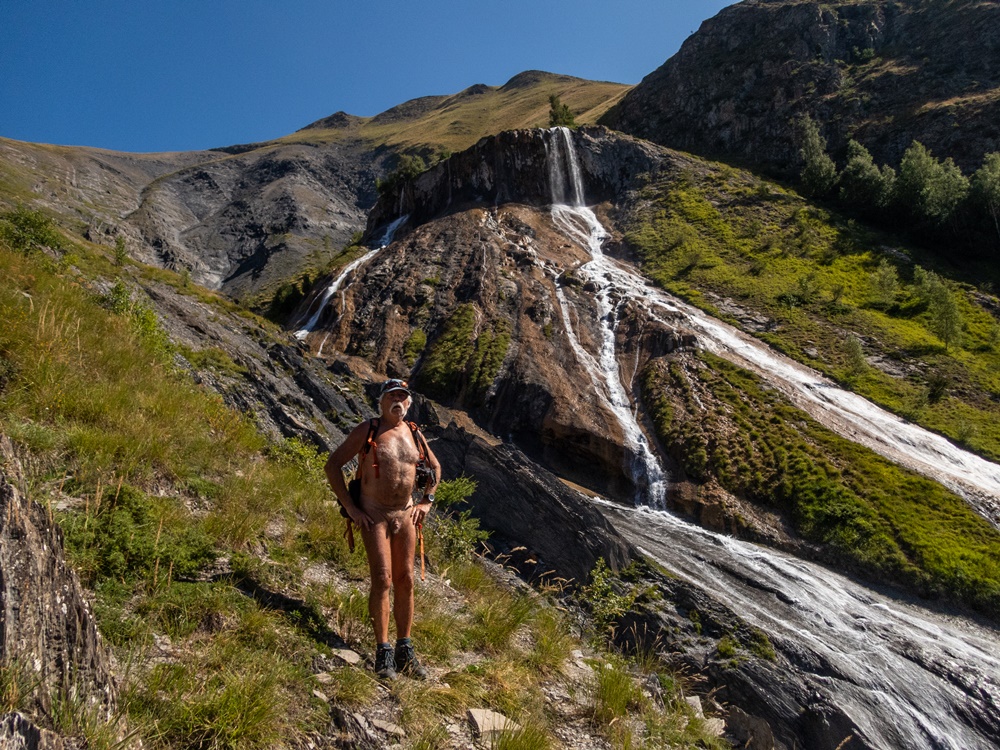
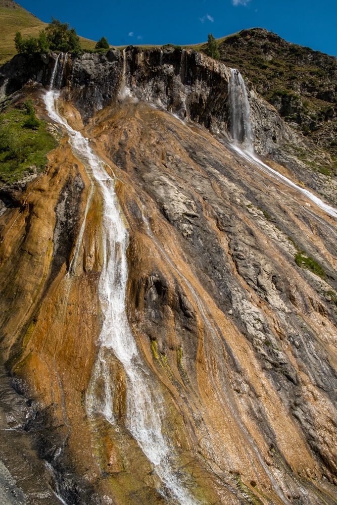
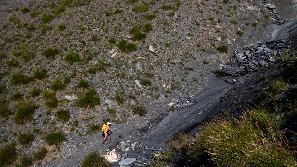
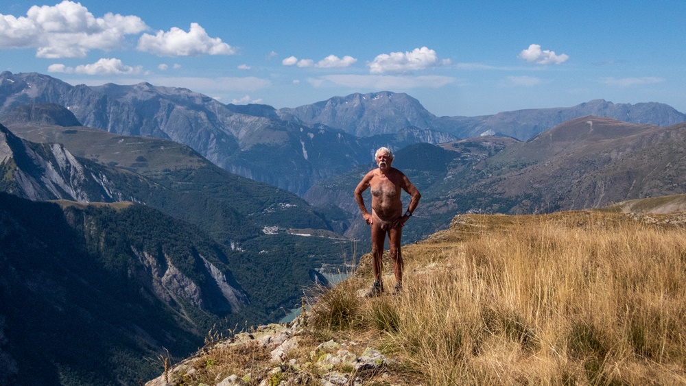
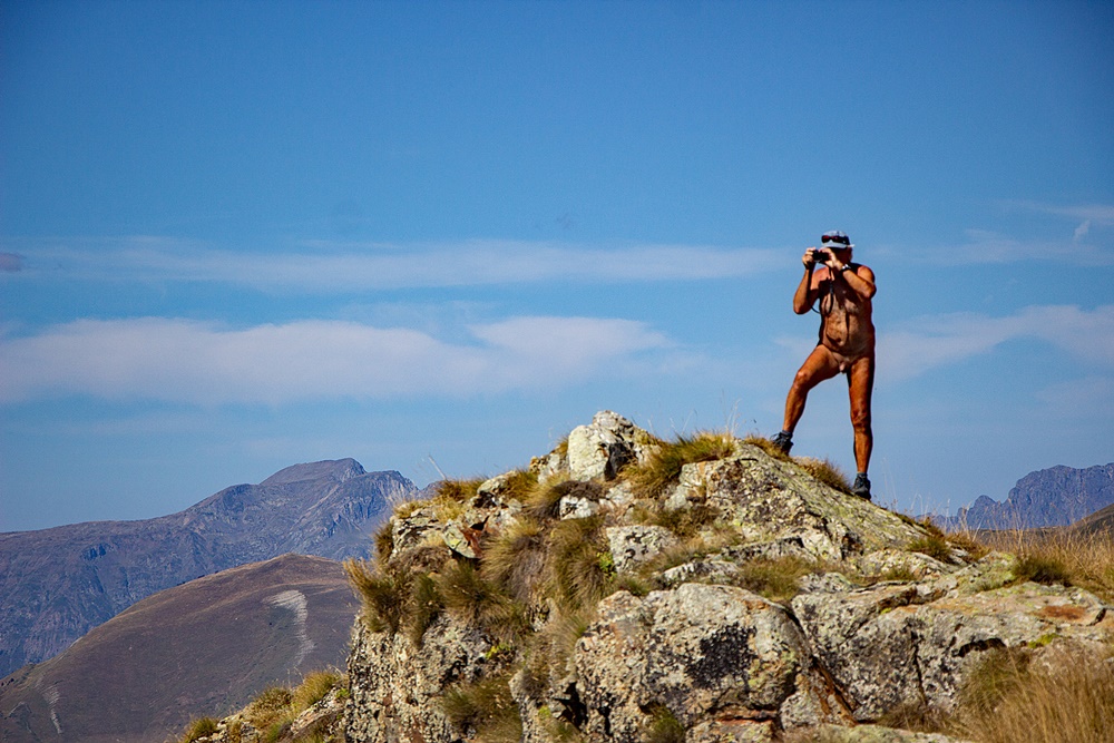
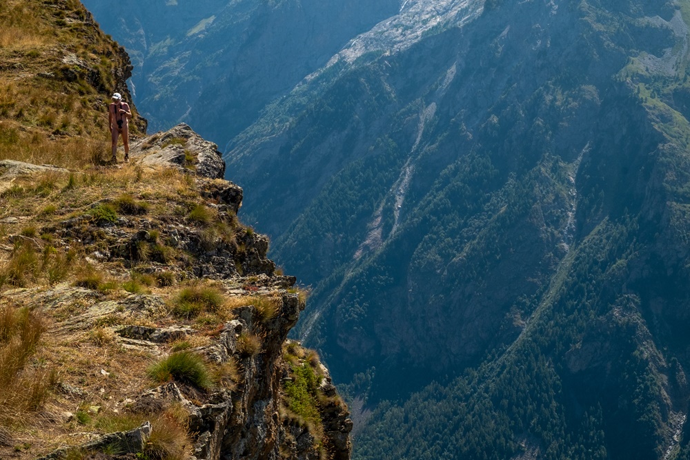
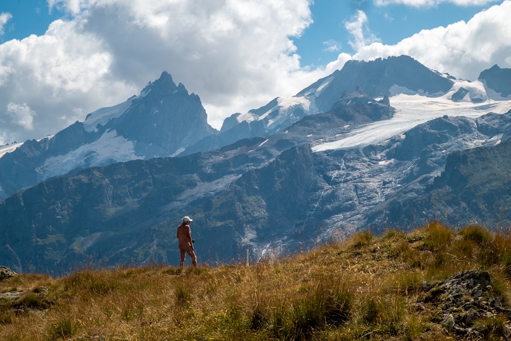
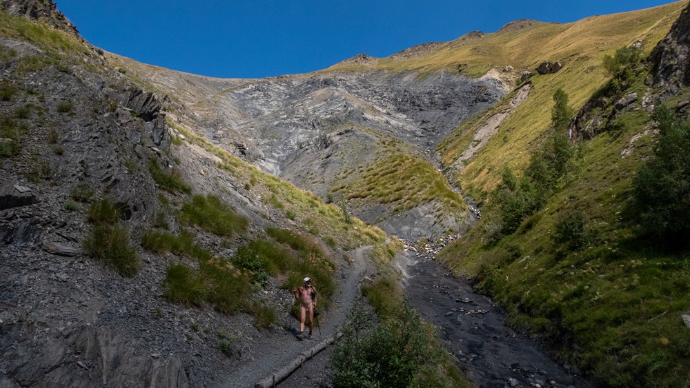
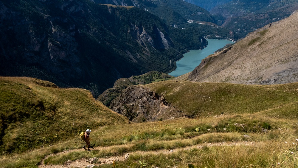
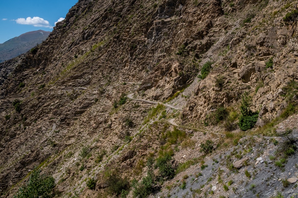
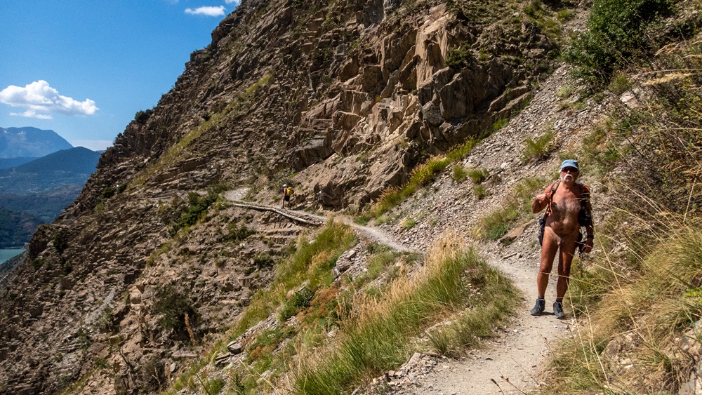
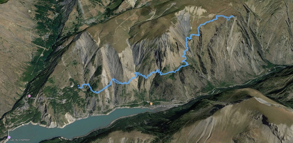
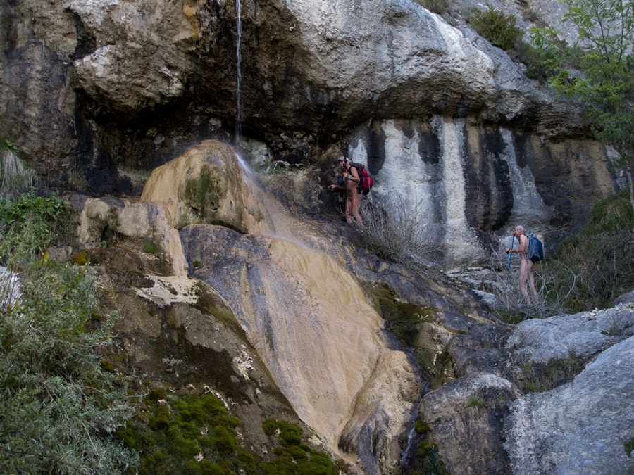
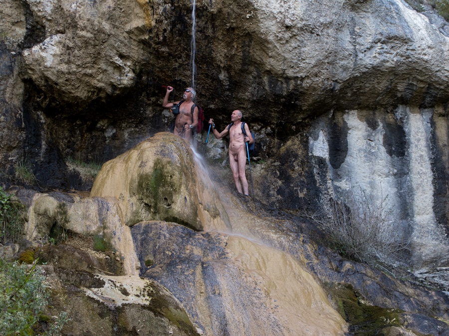
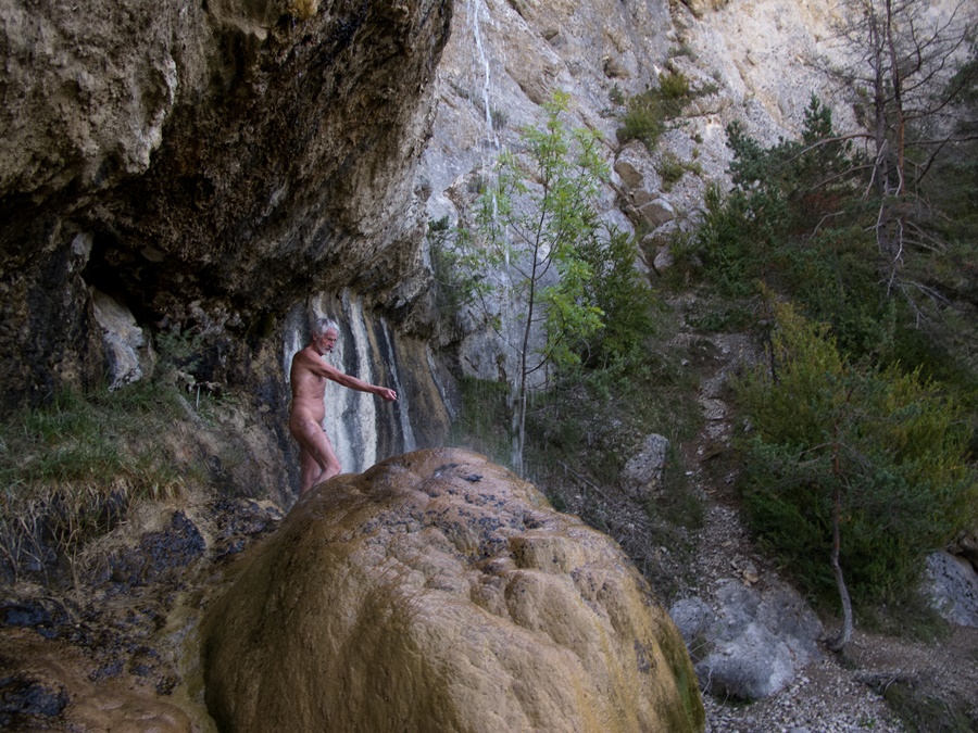
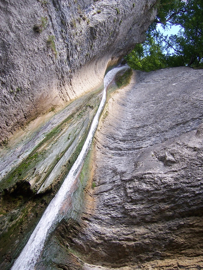
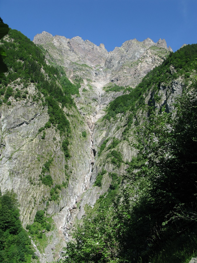
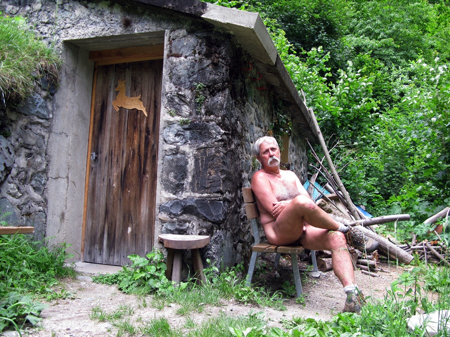
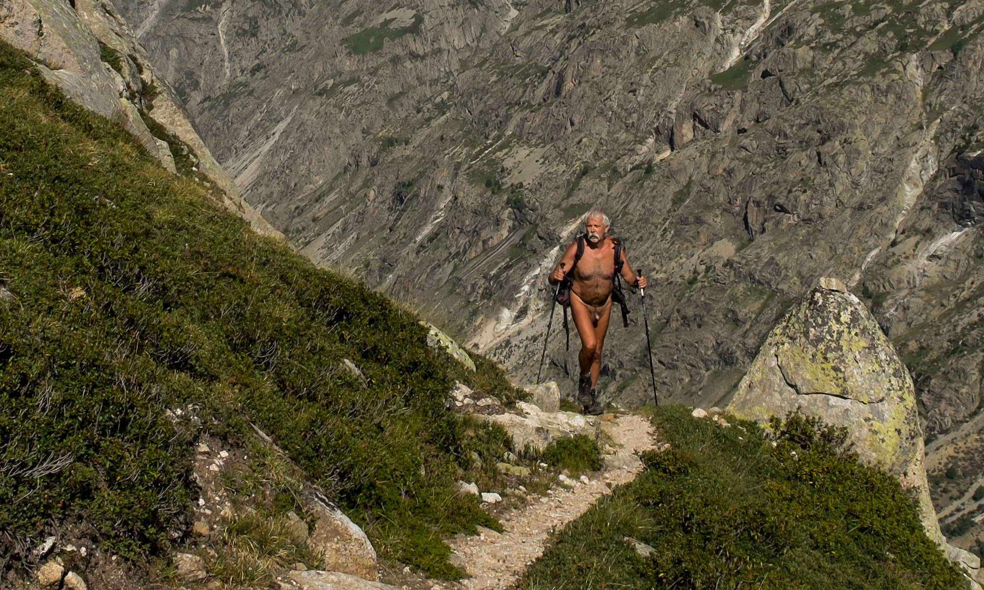
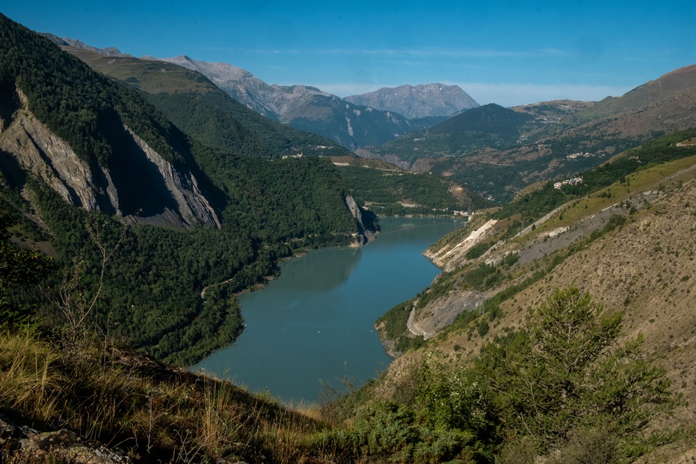
Je suis le seul à avoir répondu présent à cette proposition de Bruno d’une randonnue en Oisans pour ce jour de semaine de fin août. On ne la fera donc que tous les deux, tant pis pour ceux qui auront raté ces magnifiques paysages. Au bout d’une petite route et d’un bout de piste sur le parking au-delà du village de Mizoën, nous nous préparons quand trois femmes démarrent avant nous. La première partie du parcours est plus ou moins à niveau, en balcon au dessus du lac du Chambon, traversant des combes minérales où sont accrochés des détecteurs d’avalanches qui en hiver bloquent la circulation de la route en contrebas qui longe le lac. En short seulement, on décide d’accélérer le pas pour doubler le groupe. Puis on prend un peu d’avance et les shorts tombent. Il fait déjà bien chaud. Le chemin quitte l’environnement pierreux pour une butte herbeuse. On se rhabille sommairement pour passer devant le refuge des Clots. De là on attaque une montée raide, heureusement bien tracée en lacets qui nous amène au pied de la cascade de la source de la Pisse, ou fontaine pétrifiante. Superbe cascade qui jaillit d’un massif de tuf et s’épanche sur un toboggan de roche lisse et colorée. En fait l’eau sort d’une résurgence à quelques mètres au dessus de sa chute. On monte le vérifier en la contournant. Le flot sort bien d’une anfractuosité sous un rocher. Sans aucune trace de cours d’eau au dessus. Quelle étrangeté ! La balade n’est pas finie pour autant. Il reste encore une belle grimpette pour atteindre le niveau du plateau d’Emparis. Devant nous un randonneur bien chargé avance lentement. On évite de se rapprocher trop de lui, le sentier étroit ne permet guère de doubler aisément, mais il a forcément aperçu notre tenu. Arrivé presque à la piste qui vient de Mizoën, on part sur le côté pour rejoindre la ligne de crête. On est comme sur un balcon, la vallée de la Romanche est droit sous nos pieds, mille mètres plus bas. Pique nique, séance photo et demi tour. Dans la descente on se couvre pour croiser deux couples de randonneurs dont l’un effectue un trek au long cours de l’Alsace au Pyrénées atlantiques. On garde les shorts pour un arrêt rafraîchissements au refuge. Pour le long chemin de retour je le quitte même si un couple nous suit de loin. Arrivé au parking, il passera en disant en souriant : « Il fait chaud ».


I’m the only one to have accepted Bruno’s offer of a naked hike in the Oisans on this weekday at the end of August. So it’s just the two of us, too bad for those who missed out on these magnificent landscapes. At the end of a small road and a short dirt track in the parking lot beyond the village of Mizoën, we’re getting ready when three women set off ahead of us. The first part of the route is more or less level, on a balcony above the Lac du Chambon, crossing mineral combes where avalanche detectors hang, which in winter block traffic on the road below that runs alongside the lake. In shorts only, we decide to pick up the pace to overtake the group. Then we get a little ahead and the shorts come off. It’s already quite warm. The path leaves the stony environment for a grassy knoll. We put on our skimpy clothes to pass the refuge des Clots. From here, a steep, but fortunately well-marked, winding climb takes us to the foot of the cascade de la Source de la Pisse, or petrifying fountain. This superb waterfall gushes out of a tufa massif and flows down a slide of smooth, coloured rock. In fact, the water emerges from a resurgence a few metres above the waterfall. We climb up to check it out by going around it. The water does indeed come out of a crevice under a rock. No trace of a stream above. How strange! But the walk isn’t over yet. There’s still a long climb to reach the plateau d’Emparis. A well-loaded hiker moves slowly ahead of us. We’re careful not to get too close to him, as the narrow path makes it difficult to overtake, but he’s certainly seen our gear. Almost at the track coming from Mizoën, we move off to the side to join the ridge line. It’s as if we’re on a balcony, with the Romanche valley right below us, a thousand meters below. Picnic, photo session and turn around. On the descent, we take cover to pass two couples of hikers, one of whom is on a long-distance trek from Alsace to the Atlantic Pyrenees. We keep our shorts on for a refreshment stop at the refuge. I quit him for the long way back, even though a couple is following us at a distance. When we arrive at the parking lot, he passes by, smiling as he says: “It’s hot”.
La Pissarotte

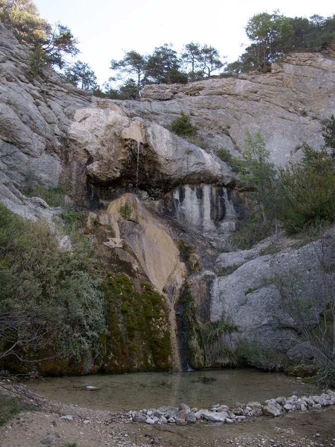
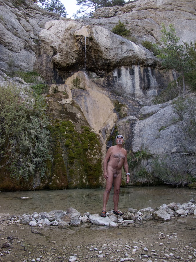
Balade dominicale de fin septembre avec les Marcheurs Nus du Val de Roanne. Une course cycliste nous a forcé à changer d’itinéraire et nous nous retrouvons avec Bernard de la Drôme et Bernard de Genève près du petit village d’Establet à suivre le ruisseau de la Pissarotte.
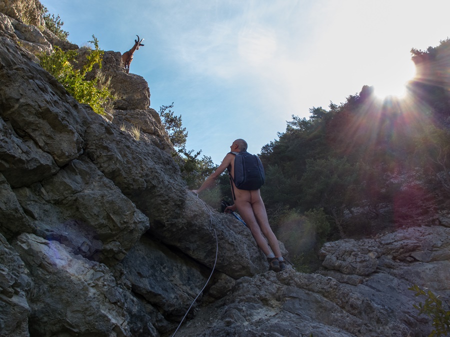
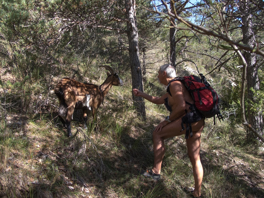
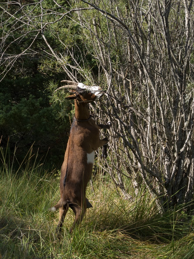
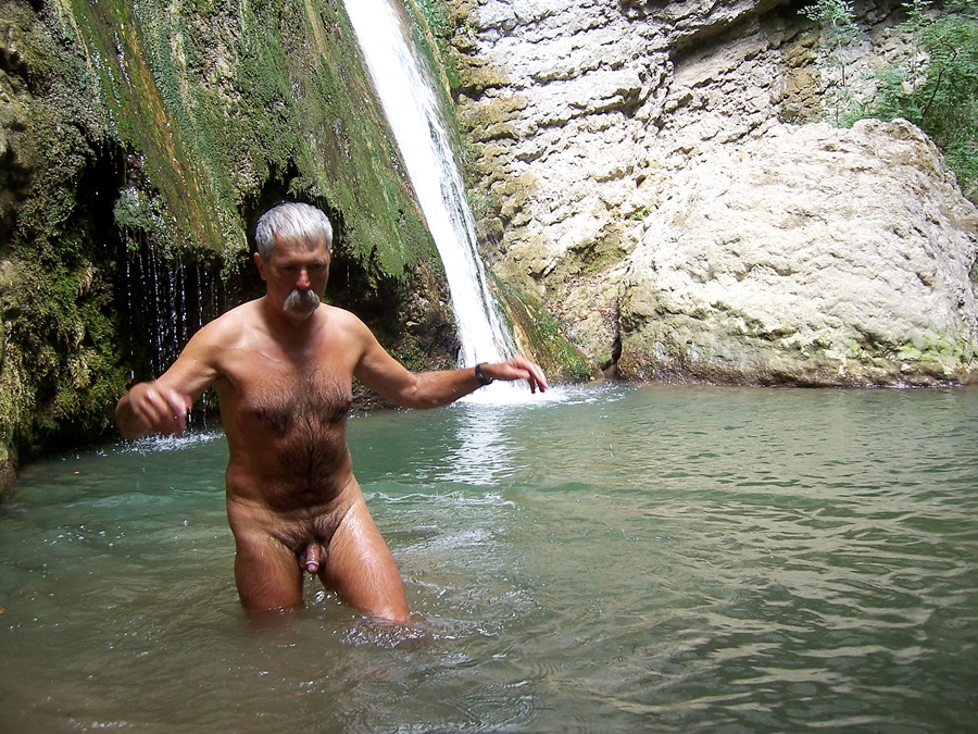
Fond de vallon encore à l’ombre jusqu’à la cascade. En cette saison, celle ci n’est guère qu’un filet d’eau, mais la barrière rocheuse paraît un obstacle infranchissable. Bernard a une indication : Il faut passer derrière la cascade puis grimper au dessus. Effectivement, le passage est là. Quelque peu glissant sur la roche mouillée, plutôt acrobatique et vertigineux ensuite pour rejoindre un vieux câble rouillé qui mène au sommet. Juste sous les cornes d’un petit troupeau de chèvres qui nous observent avec curiosité depuis leurs promontoires rocheux. Et l’on débouche enfin au soleil. Les chèvres sont là, un peu craintives d’abord, s’éloignant à notre approche, puis, rassurées sans doute par nos tenues, elles viennent nous accompagner. Le reste du chemin est tranquille. Pique nique dans un champ et retour par un chemin en sous bois qui contourne la falaise et la cascade.
Il est encore trop tôt pour rentrer. Quelques centaines de mètres en voiture et on part explorer un chemin sur l’autre versant de la vallée. Il monte raide pour rejoindre une piste forestière qui se déroule à flanc de colline, presque à l’horizontal. Aller retour de deux heures de balade paisible.


Sunday walk at the end of September with the Naked Walkers of the Val de Roanne. A cycle race forced us to change our itinerary and we find ourselves with Bernard from the Drôme and Bernard from Geneva near the small village of Establet to follow the Pissarotte stream.
Bottom of the valley still in the shade up to the waterfall. In this season, the waterfall is hardly more than a trickle, but the rocky barrier seems an impassable obstacle. Bernard has an indication: You have to go behind the waterfall and then climb above it. Indeed, the passage is there. Somewhat slippery on the wet rock, rather acrobatic and vertiginous then to join an old rusty cable that leads to the summit. Just under the horns of a small herd of goats watching us with curiosity from their rocky promontories. And we finally arrive in the sun. The goats are there, a little afraid at first, moving away as we approach, then, reassured no doubt by our outfits, they come to accompany us. The rest of the way is quiet. Picnic in a field and return by an undergrowth path that goes around the cliff and the waterfall.
It is still too early to go back. A few hundred meters by car and we go to explore a path on the other side of the valley. It climbs steeply to reach a forest track that runs on the hillside, almost horizontally. A two-hour walk and return is a peaceful stroll.

Cascade de Glezy

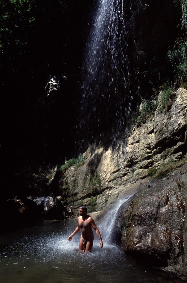
C’est une cascade cachée dans la forêt tout à proximité de la route qui relie le Touvet dans la vallée du Grésivaudan au plateau des Petites Roches. Il fait bon s’y rafraichir lors des chaudes journées d’été en descendant d’une balade sur les hauts de la Chartreuse.


It is a waterfall hidden in the forest near the road that links the Touvet in the Grésivaudan valley to the Petites Roches plateau. It is good to refresh oneself there on hot summer days while going down from a walk on the heights of the Chartreuse.

Petite Vaudaine

La vallée de la Romanche entre Vizille et Boug d’Oisans n’est pas à première vue l’endroit idéal pour aller se balader. Vallée étroite, embrumée de fumées d’usine, encombrée de lignes électriques, de conduites d’eau, de bâtiments industriels en activités ou en friches. Son unique intérêt est d’être la voie de passage incontournable vers les stations de l’Oisans. Pourtant, en regardant la carte, on s’aperçoit que quelques chemin y sont tracés.
Départ du monument aux morts, au bord de la route. Ce jour là, une cérémonie va y avoir lieu. Déjà quelques portes drapeaux montent la garde. Je me gare sur le parking derrière et m’éloigne en short et tee shirt. Une large piste contourne une grosse carrière puis s’élève en virages, le long du torrent. Elle s’arrête brusquement, mais un tout petit sentier prend la suite. Il s’enfonce dans la forêt et grimpe en zigzags. De temps en temps, dans un virage, on domine le torrent qui a creusé la roche.
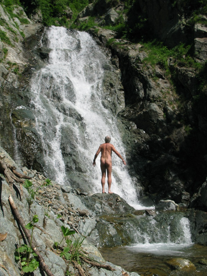
A mi hauteur, le chemin passe devant une belle cascade. Douche rafraîchissante. Puis il continue toujours en sous bois. Il sort dans les hautes herbes juste en dessous de la cabane du Petit Vaudaine. Voyant de la fumée, j’enfile un short. La cabane est gérée par une association de chasse. Quatre personnes sont là se préparant un repas. Je m’éloigne quelque peu, passe une barrière d’arbre et retrouve ma tenue de balade.
Je voudrais aller au col de la Petite Vaudaine. Je longe un névé, puis contourne un éperon rocheux. Je monte droit dans la pente au milieu d’un tapis de rhododendrons en fleurs. Par moments, je retrouve des traces de sentiers, puis les perds dans des éboulis. La pente est raide. Je grimpe en visant ce qu’il me semble être le col, mais finalement je bute sur une barrière de barres rocheuses. J’aperçois sur une butte en dessous de moi ce qui pourrait être le chemin. Les chemins, ici, ont l’air d’avoir été abandonnés et en partie effacés par les éboulements et la végétation.
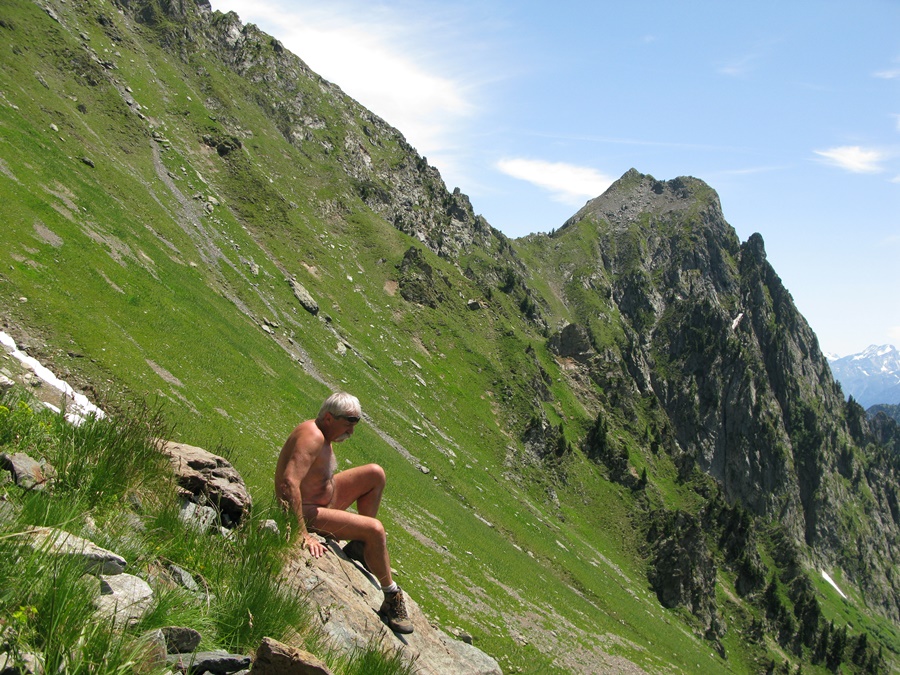
Je préfère redescendre. Mais auparavant, je profite longuement de la vue sur le Grand Galbert et le massif du Taillefer. Je remet mon short pour passer à proximité des chasseurs. Dans la descente, à la cascade, je m’asperge d’eau pour enlever la transpiration. Juste après, au moment de passer une ravine, j’entends une voix qui m’indique le bon passage. C’est l’un des chasseurs qui est parti en premier et qui attend là ses camarades. Je m’excuse pour ma tenue, qui ne semble pas gêner. On échange quelques mots et je repars.
La descente est pénible avec beaucoup de pierres instables. Finalement, je ne remet short et tee shirt qu’en arrivant à proximité de la route.


The Romanche valley between Vizille and Boug d’Oisans is not at first sight the ideal place to go for a walk. Narrow valley, misty with factory fumes, cluttered with power lines, water pipes, industrial buildings in activity or on wasteland. Its only interest is that it is the main route to the resorts of the Oisans. However, if you look at the map, you can see that some paths are marked out there.
Departure from the war memorial, on the side of the road. On this day, a ceremony will take place there. Already a few flag bearers are standing guard. I park in the parking lot behind and walk away in shorts and a t-shirt. A wide track goes around a big quarry and then rises in curves along the torrent. It stops abruptly, but a very small path takes over. It runs deep into the forest and climbs in zigzags. From time to time, in a bend, one dominates the torrent that has carved out the rock.
Halfway up, the path passes in front of a beautiful waterfall. Refreshing shower. Then it always continues in the undergrowth. It goes out into the high grass just below the Petit Vaudaine hut. Seeing smoke, I put on shorts. The hut is run by a hunting association. Four people are there preparing a meal. I move a little further away, pass a tree line and find my walking outfit.
I would like to go to the pass of Petite Vaudaine. I walk along a neve, then around a rocky spur. I climb straight up the slope in the middle of a carpet of rhododendrons in bloom. At times, I find traces of paths, then lose them in the scree. The slope is steep. I climb aiming at what seems to be the pass, but finally I come up against a barrier of rocky bars. I see on a mound below me what could be the path. The paths here seem to have been abandoned and partly erased by the landslide and the vegetation.
I prefer to go back down. But first, I enjoy the view of the Grand Galbert and the Taillefer massif for a long time. I put my shorts back on to pass close to the hunters. In the descent, at the waterfall, I sprinkle myself with water to remove perspiration. Just afterwards, as I cross a gully, I hear a voice telling me the right way. It is one of the hunters who left first and is waiting there for his comrades. I apologize for my outfit, which doesn’t seem to bother him. We exchange a few words and I leave.
The descent is difficult with a lot of unstable rocks. Finally, I put on shorts and tee shirt only when I get close to the road.