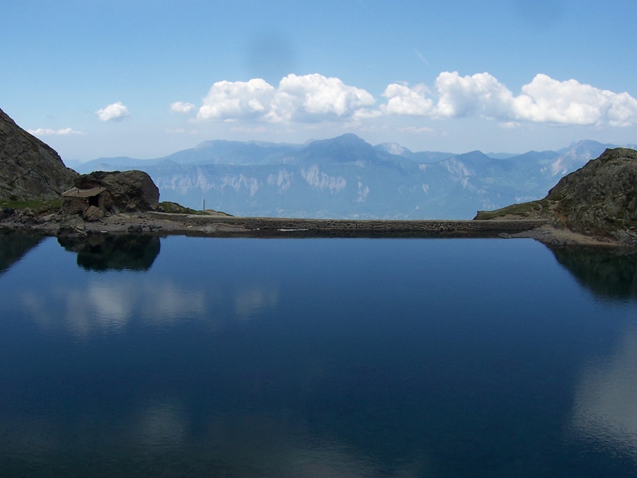
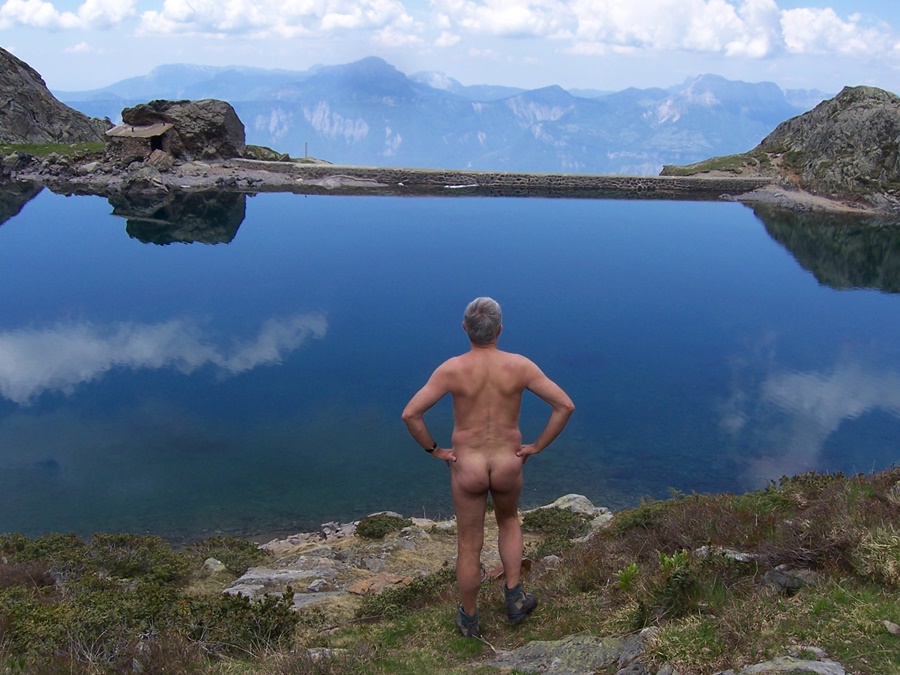
Lac Belledonne

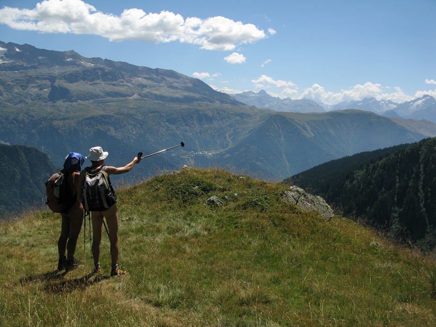
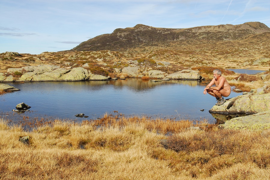
Gérard avait proposé par l’intermédiaire du groupe internet yahoo rando-nue une balade au lac de Belledonne. Nous nous retrouvons à cinq venus du Freney d’Oisans, de Grenoble, de la Côte Saint André et même de Lyon.
Au bout de la route, au départ de la balade, il y a déjà pas mal de voitures. Du monde en perspective sur ce chemin bien connu. On décide de tenter une variante en poursuivant par la piste forestière puis en continuant sur un chemin qui pourrait peut-être faire l’affaire. On verra. Déshabillés dès le parking ou quelques mètres seulement plus loin, on restera en tenue jusqu’au retour à une dizaine de mètres de ce même parking, soit plus de neuf heures de nudité. Au bout de la piste, un sentier s’enfonce dans la forêt. Surprise, alors qu’il n’est même pas marqués sur des cartes récentes, il parait en parfait état. Si parfait même que la sciure est encore toute fraîche au pieds des troncs coupés. C’est à se demander si l’on ne va pas tomber sur une équipe de forestiers en train de tracer…
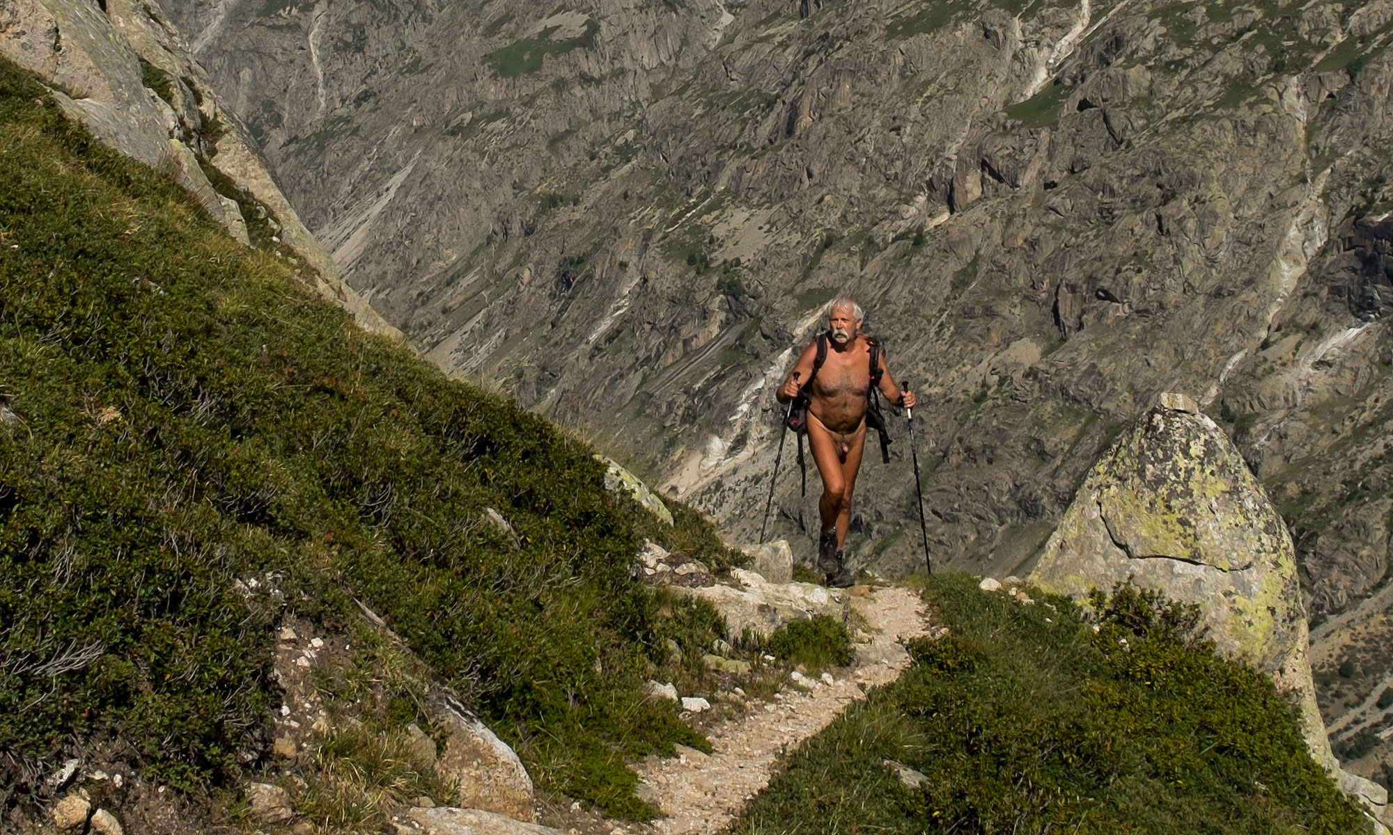
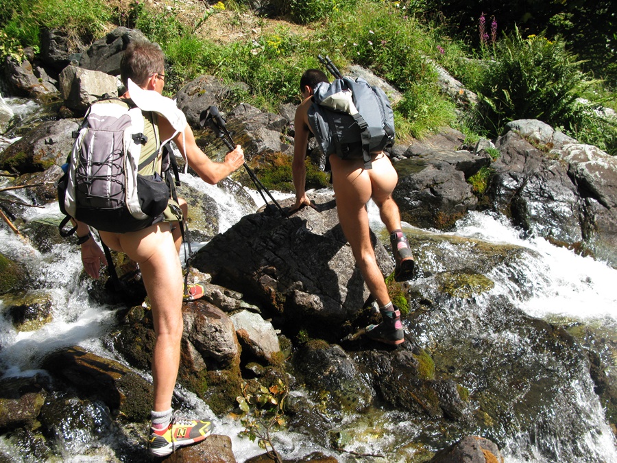
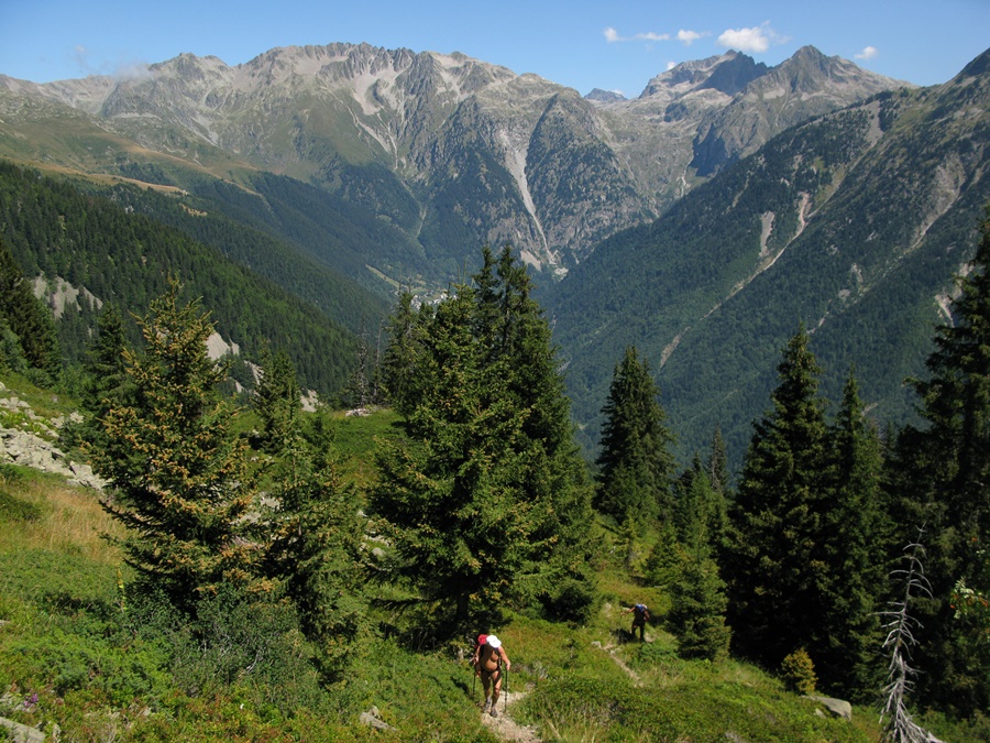
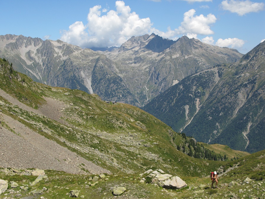
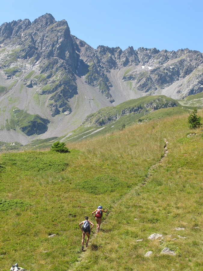
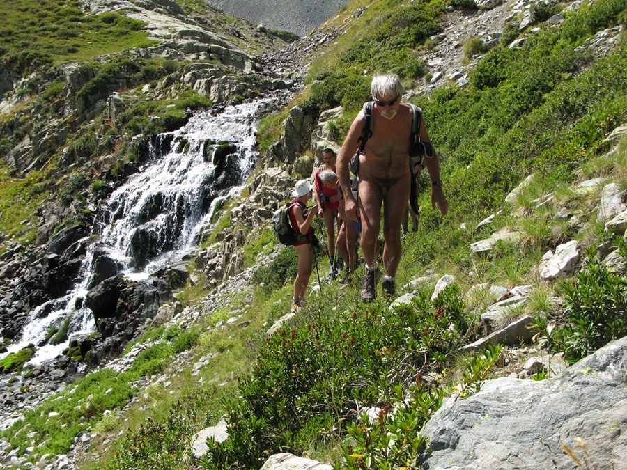
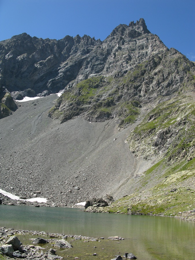
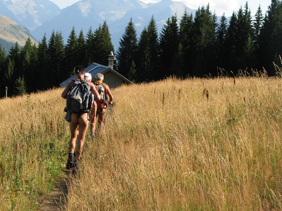
Il serpente en sous bois passant de combes en combes, traverse un torrent et un pierrier, pour finalement rejoindre un chemin mieux répertorié. De là, on monte d’abord dans la forêt puis sur de grandes croupes herbeuses d’alpage vers les barres rocheuses qui masquent le lac. Arrivé au bord du lac, nouvelle surprise, au lieu de la foule attendue (ou redoutée), il n’y a que deux randonneuses qui ne voient pas d’objection à notre présence.
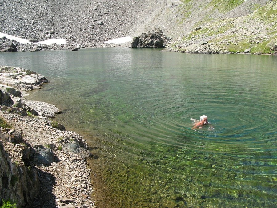
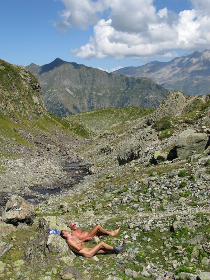
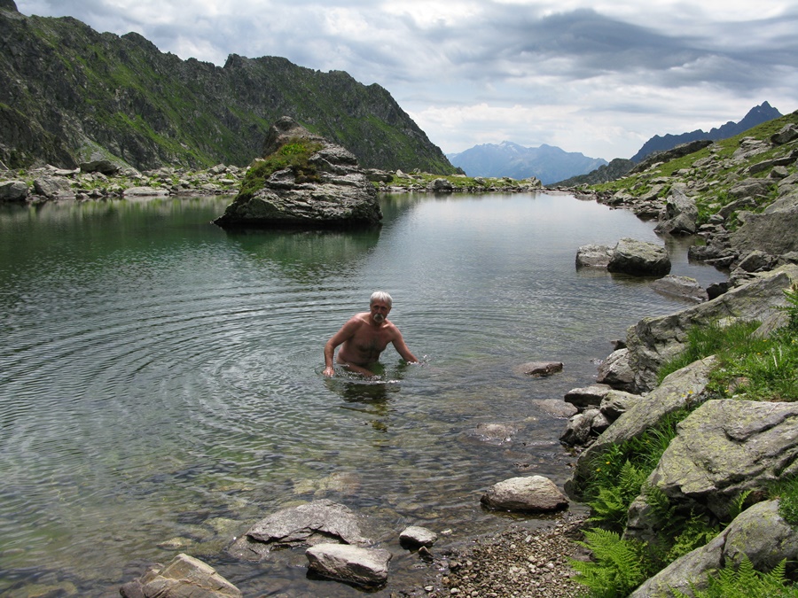
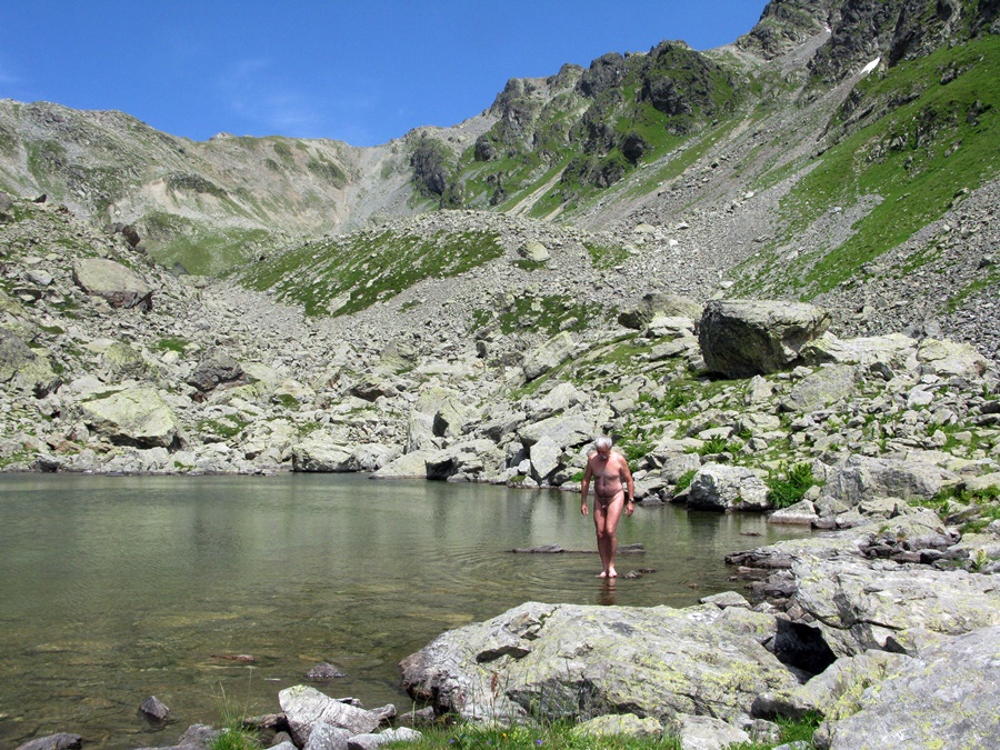
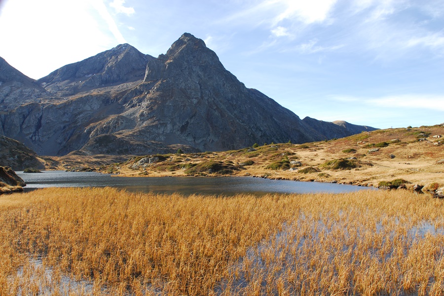
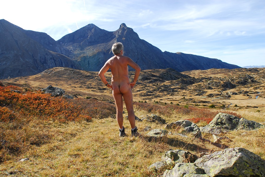
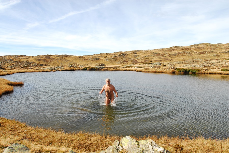
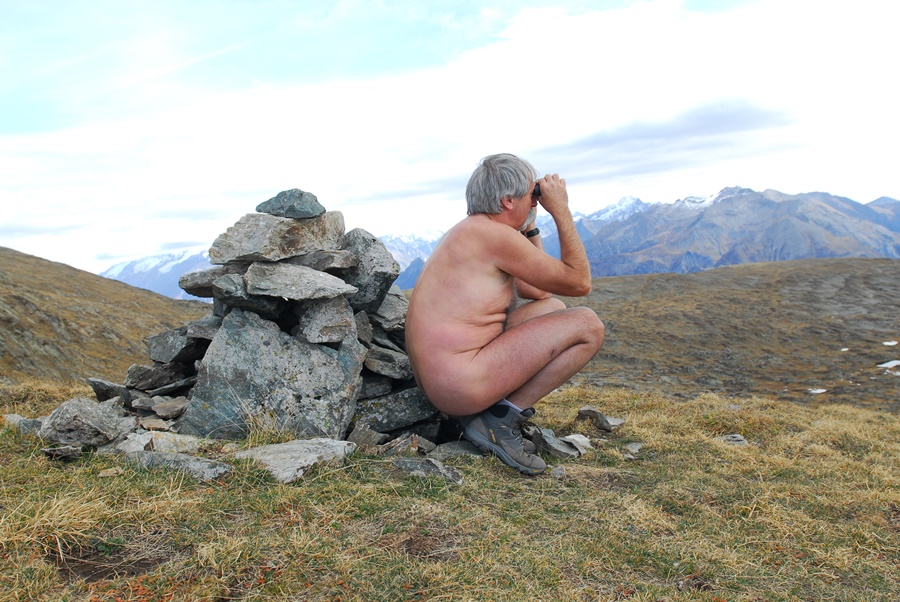
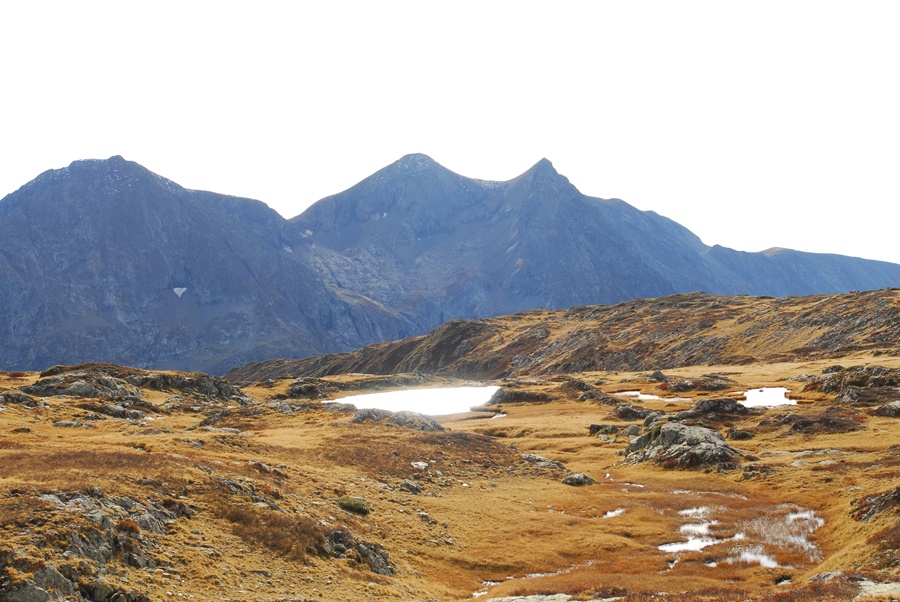
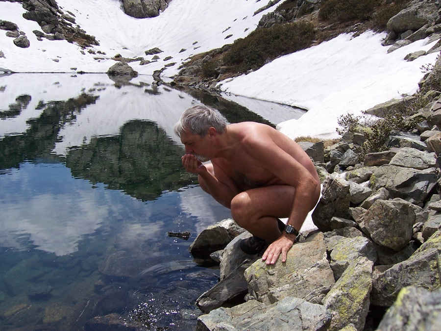
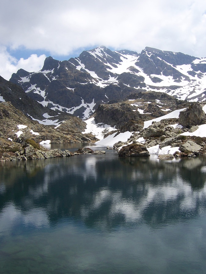
Je me jette à l’eau, suivi de Gérard. Les autres font trempettes du bout des pieds. C’est vrai que l’eau est fraîche (froide) avec les névés qui subsistent au bord de l’eau. La baignade est courte mais tellement vivifiante. On traîne sur les rives, profitant du soleil et du paysage. Les hautes murailles des sommets du massif de Belledonne dominent le lac aux eaux vertes et transparentes.
Finalement, il faut se résoudre à descendre. On emprunte le chemin classique pratiquement déserté à cette heure là.


Gérard had proposed through the internet group yahoo rando-nu a trip to the lake of Belledonne. Five of us came from the Freney d’Oisans, Grenoble, the Côte Saint André and even Lyon.
At the end of the road, at the start of the walk, there are already quite a few cars. The crowd in perspective on this well known road. We decide to try a variant by continuing along the forest track and then continuing on a path that could perhaps do the trick. We’ll see what happens. Undressed from the car park or just a few meters further, we will stay in our naked clothes until we return about ten meters away from the car park, that is to say more than nine hours of nudity. At the end of the trail, a path goes deep into the forest. Surprisingly, although it is not even marked on recent maps, it looks in perfect condition. So perfect even that the sawdust is still fresh at the foot of the cut trunks. One wonders if we’re not going to run into a team of foresters tracing…
It snakes through the undergrowth, passing from comb to comb, crosses a torrent and a scree, to finally reach a better listed path. From there, one climbs first in the forest and then on large grassy mountain pastures towards the rocky bars that hide the lake. Arriving at the lake, another surprise, instead of the expected (or dreaded) crowd, there are only two female hikers who see no objection to our presence.
I throw myself in the water, followed by Gerard. The others take a dip with their toes. It’s true that the water is cool (cold) with the snow that remains at the water’s edge. The swim is short but so invigorating. We hang out on the banks, enjoying the sun and the scenery. The high walls of the peaks of the Belledonne massif dominate the lake with its green and transparent waters.
Finally, we have to make up our mind to go down. We take the classic path, practically deserted at this time of the day.

Lacs du Venetier

Un dimanche d’août, je suis monté au premier lac du Venetier, au dessus du habert d’Aiguebelle. Il faisait beau et chaud, il y avait du monde sur les chemins. Je suis resté habillé, en short, pour marcher, mais j’ai quand même pu profiter d’un moment de nudité au bord du lac le temps d’une courte baignade, avant que des personnes viennent s’installer en face de moi, puis encore une fois après qu’elles soient parties.
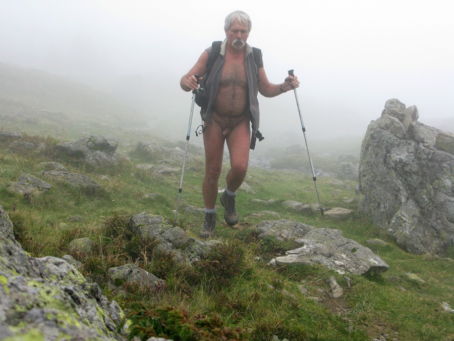
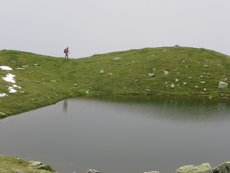
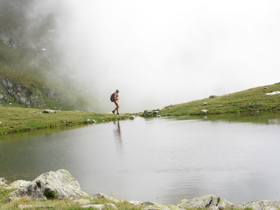
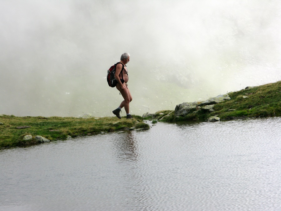
J’y suis retourné en septembre. La météo était beaucoup moins agréable, mais c’est souvent un gage de tranquillité. Je suis parti nu du parking et me suis juste rhabillé pour croiser deux personnes qui descendaient, aperçues à l’avance. Le habert était fermé et les troupeaux redescendus dans la vallée. Par moment, les nuages envahissaient tout l’espace, se transformant en brouillard, puis se déchiraient laissant filtrer quelques rayons de soleil. Arrivé, au premier lac, l’atmosphère ne donnait plus du tout envie de se plonger dans l’eau. J’ai continué jusqu’aux lacs suivants, tout à fait différents dans leur environnement herbeux. Puis, voyant le sommet de la Jasse complètement bouché, j’ai fait demi tour.
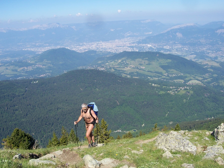
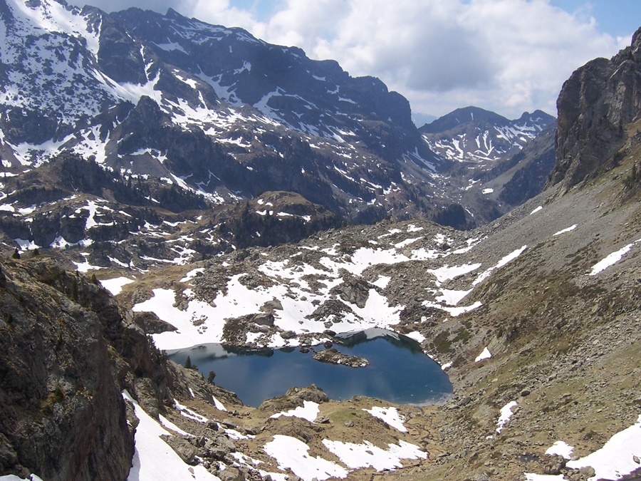

One Sunday in August, I went up to the first lake of Le Venetier, above the habert of Aiguebelle. It was beautiful and hot, there were people on the paths. I stayed dressed, in shorts, to walk, but I could still enjoy a moment of nudity by the lake for a short swim, before people came to settle in front of me, then again after they had left.
I went back in September. The weather was much less pleasant, but it is often a guarantee of quietness. I left naked from the parking lot and just got dressed to pass two people who were coming down, seen in advance. The habert was closed and the herds were back down in the valley. At times, the clouds invaded the whole space, turning into fog, then tore apart and let a few rays of sunshine filter through. When reaching the first lake, the atmosphere no longer made one want to dive into the water. I continued on to the next lakes, which were quite different in their grassy surroundings. Then, seeing the top of the Jasse completely obstructed, I turned back.

Lac Fourchu

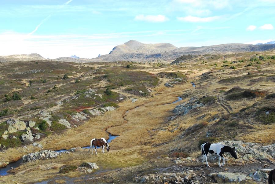
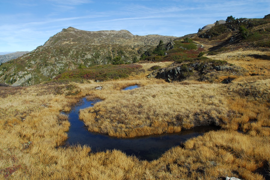
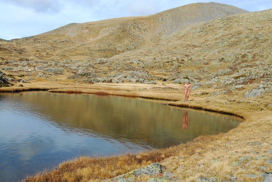
Au pied du massif du Taillefer, le lac Fourchu offre à une heure de marche un décor d’eau et de rochers qui attire facilement randonneurs, pêcheurs, vététistes ou simples promeneurs. Mais au lieu de rester sur les rives trop fréquentées de ce lac, il est possible de continuer en direction d’une vaste zone bien moins visitée. C’est sans doute les restes du socle d’un ancien glacier qui a modelé le sol en d’innombrables creux et bosses jusqu’aux crêtes qui bordent la vallée de la Romanche. Bosses de rochers, creux d’herbe rase parsemés de filets d’eau, de lacs, de mares ou simple trous d’eau, miroirs éclatants qui reflètent la lumière au milieu d’une herbe jaune d’automne. Le sol y est alternativement dur et marécageux. Pour s’orienter, il suffit de viser le Taillefer d’un coté, la pointe du Grand Galbert, de l’autre.
C’est dans cet environnement que j’ai passé un dimanche. J’ai même pris un (court) bain à 2200 mètres d’altitude en cette fin de mois d’octobre. C’est l’effet de l’été indien! Et dans ce labyrinthe, j’ai passé l’après midi à jouer à cache cache avec les quelques groupes de randonneurs qui s’étaient eux aussi aventurés dans le coin, eux apparaissant au sommets d’une crête, moi disparaissant derrière les buttes de rochers, coupant droit dans la pente pour éviter les sentiers ou m’étendant tranquillement pour bronzer au bord de l’eau. Au final: 4heures 45 de nudité (marche et bain de soleil) pour une sortie de plus de 7 heures!


At the foot of the Taillefer massif, Lake Fourchu offers an hour’s walk away a scenery of water and rocks that easily attracts hikers, fishermen, mountain bikers or simple walkers. But instead of staying on the overly frequented shores of this lake, it is possible to continue towards a vast area that is much less visited. It is undoubtedly the remains of the base of an ancient glacier that has shaped the ground into innumerable hollows and bumps up to the ridges that border the Romanche valley. Bumps of rock, hollows of short grass dotted with streams, lakes, ponds or simple water holes, bright mirrors that reflect the light in the middle of a yellow autumn grass. The ground is alternately hard and swampy. To find your way around, simply aim at the Taillefer on one side, the tip of the Grand Galbert on the other.
It is in this environment that I spent one Sunday. I even took a (short) bath at an altitude of 2200 metres at the end of October. This is the effect of the Indian summer! And in this labyrinth, I spent the afternoon playing hide and seek with the few groups of hikers who had also ventured into the area, they appearing at the top of a ridge, me disappearing behind the rocky buttes, cutting right into the slope to avoid the paths or lying quietly to sunbathe by the water. In the end: 4 hours 45 of nudity (walking and sunbathing) for an outing of more than 7 hours!

Grand Colon

En ce jour de semaine de juin, il y a déjà plusieurs voitures sur le parking au dessus de la Ferrière lorsque j’y arrive. Je n’espère donc guère pouvoir faire une randonnue…au moins une randonnée !
Après quelques dizaines de minutes de marche sur la piste forestière sans rencontrer âme qui vive, j’arrive au départ du sentier. Allez, je tente quand même le coup. Je me déshabille et attaque la montée. Sous bois, prairie d’alpage, pente de pierres et de rochers. Petit à petit, le temps passe et je prends de l’altitude. J’aperçois deux silhouettes qui me précèdent sur le sentier, mais bien loin. Finalement, ce n’est qu’en arrivant au sommet du Grand Colon que je trouve du monde. J’ai eu le temps d’enfiler un short dans la dernière longueur. Un parapentiste décolle sous mon nez, un couple de randonneurs entreprend la descente vers le lac Merlat, un autre groupe repart par le chemin que je viens d’emprunter, et la dernière personne recharge son sac à dos au bout de quelques minutes et s’éloigne.
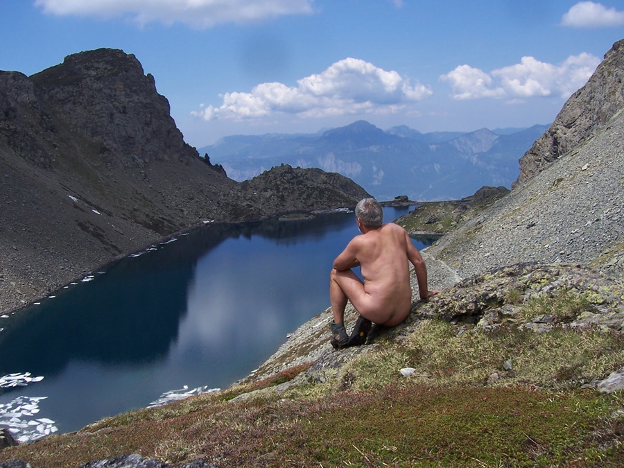
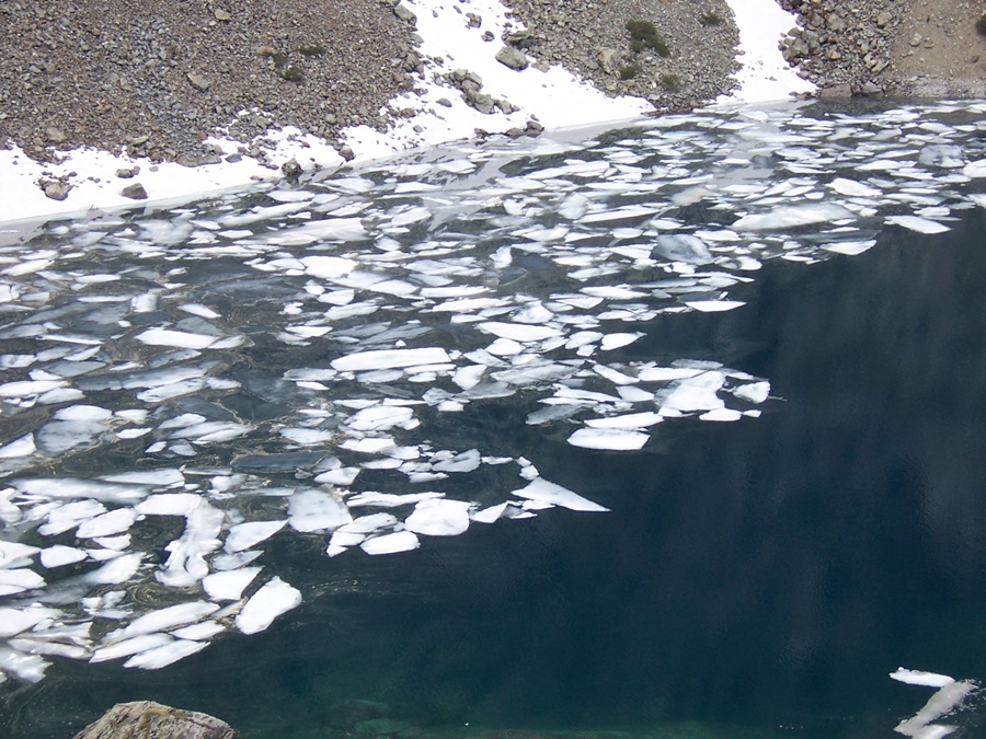
Je suis de nouveau seul et nu. A mon tour, je m’engage sur le chemin du lac. Un chemin raide de pierres instables qui roulent dans la pente, qui disparaît parfois sous les névés ; mais je n’ai qu’à suivre les traces de mes prédécesseurs. Le lac est encastré entre rochers et pentes de neige. Les sommets alentours se mirent dans une eau sombre. Je profite de cette eau froide pour me rafraîchir le visage. Je contourne le lac et continue vers la Pra. En arrivant en vue du refuge, je renfile mon short, le temps de jeter un coup d’œil sur le nouveau bâtiment qui vient d’y être construit, puis de le contourner. Du col de la Pra, j’ai le lac du Crozet sous les pieds. Le chemin serpente dans les cailloux à flanc de pierriers. J’arrive à proximité du lac sans encombre pour une halte dans l’herbe rase. Le lac est d’un bleu profond, dans lequel se reflètent les nuages. La digue tire un trait géométrique entre l’eau et le ciel. A l’extrémité du lac, des blocs de glace se disloquent comme une banquise au dégel. L’eau ne doit pas être chaude. Pas de baignade aujourd’hui ! Mais c’est un vrai plaisir de contempler ces lacs de montagne.
En début d’après midi, les alentours du lac se peuplent de quelques groupes de randonneurs. C’est la fin de la randonnue. Le long du chemin qui descend au parking, je croiserai une vingtaine de personnes. J’ai eu une chance inespérée de pouvoir profiter de quatre heures de nudité sur les six heures trente de la balade dans ces coins si fréquentés.


On this weekday in June, there are already several cars on the parking lot above La Ferrière when I get there. So I hardly hope to be able to go for a naked hike…at least a hike!
After a few tens of minutes of walking on the forest track without meeting a living soul, I arrive at the start of the trail. Come on, I’ll give it a try anyway. I undress and attack the climb. Under woods, alpine meadow, slope of stones and rocks. Gradually, time passes and I gain altitude. I see two silhouettes that are ahead of me on the path, but far away. Finally, it is only when I reach the summit of the Grand Colon that I find people. I had time to put on my shorts in the last section. A paraglider takes off right under my nose, a couple of hikers begin the descent towards Lake Merlat, another group leaves by the path I’ve just taken, and the last person reloads his backpack after a few minutes and walks away.
I am alone and naked again. It is my turn to take the path to the lake. A steep path of unstable stones rolling down the slope, which sometimes disappears under the snow; but I just have to follow in the footsteps of my predecessors. The lake is embedded between rocks and snow slopes. The surrounding peaks are set in dark water. I take advantage of this cold water to refresh my face. I walk around the lake and continue towards the Pra. Arriving in sight of the refuge, I put on my shorts, the time to have a look at the new building which has just been built there, then to go around it. From the Col de la Pra, I have the Lac du Crozet under my feet. The path meanders through the pebbles on the side of the scree slopes. I arrive near the lake safely for a stop in the short grass. The lake is deep blue, in which the clouds are reflected. The dike draws a geometric line between the water and the sky. At the end of the lake, blocks of ice break up like an ice pack when it thaws. The water must not be warm. No swimming today! But it’s a real pleasure to contemplate these mountain lakes.
In the early afternoon, the area around the lake becomes populated by a few groups of hikers. This is the end of the naked hike. Along the path that goes down to the car park, I will meet about twenty people. I had an unhoped-for chance to enjoy four hours of nudity during the six and a half hours of the walk in these busy areas
.