Col Vert

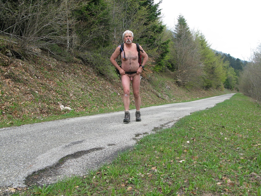
Les vallées sont ensoleillées mais les montagnes sont accrochées de gros nuages. Tant pis. Je monte en voiture jusqu’à la route forestière de Prélenfrey. Il y un autre véhicule sur le parking et il ne fait pas chaud: conséquence, je démarre en short et tee shirt. Je ne reconnais plus la piste forestière qui a manifestement été élargie et passée au bulldozer.
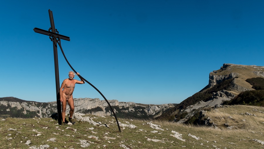
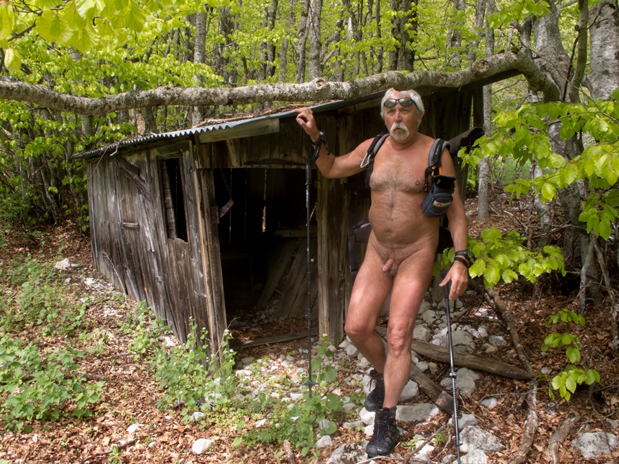
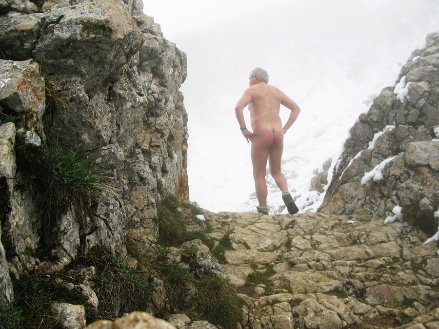
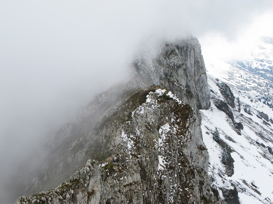
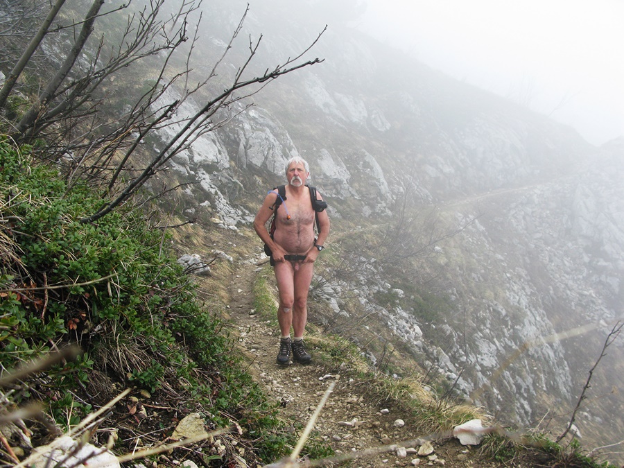
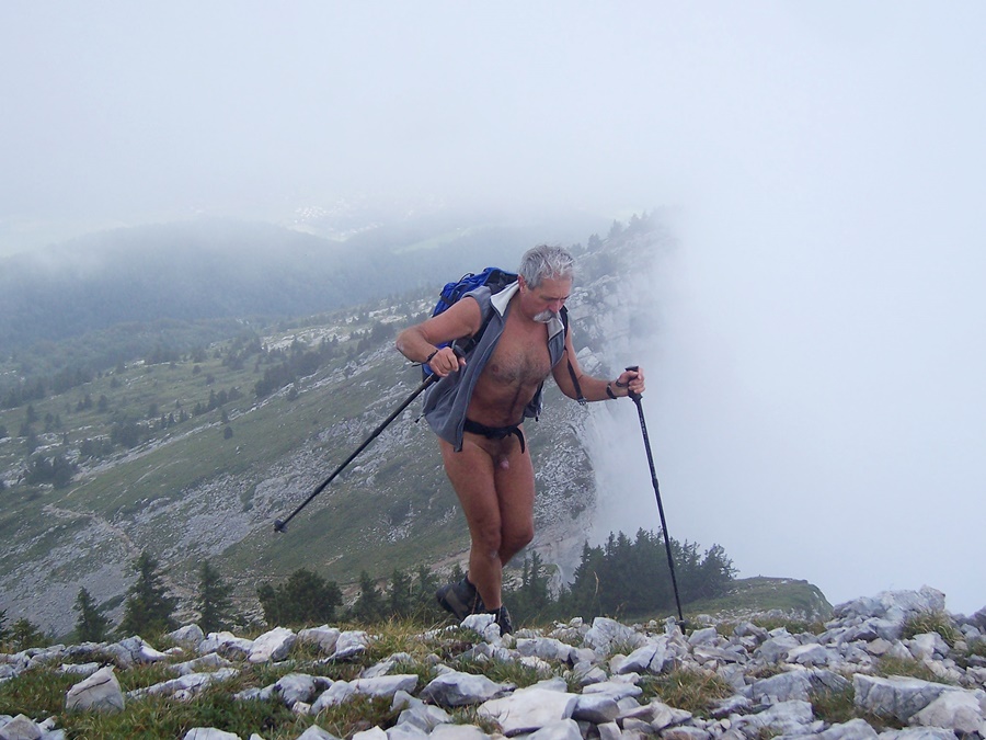
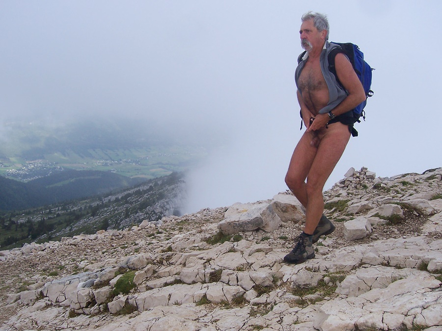
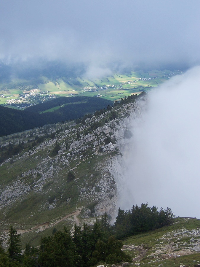
Au bout de vingt minutes, je la quitte pour un petit chemin. J’en profite aussi pour quitter les vêtements. Mais bientôt, je suis dans le brouillard des nuages. Mais comme le corps est chaud et actif, pas de problème pour continuer ainsi. Après la baraque, je trouve quelques névés; les branches des arbustes sont encore couvertes de givre. Les derniers lacets, et voilà le Col Vert. De l’autre coté de l’étroit passage dans le rocher, une fine couche de neige fraiche recouvre le paysage. Ambiance hivernale en ce mois de mai.
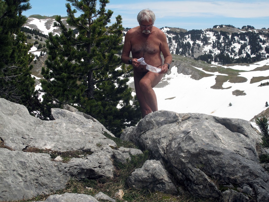
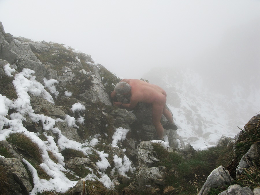
Il faut bouger. Ça tombe bien car j’ai choisi cette destination pour trouver une géocache qui a été posée dernièrement dans le coin. Voilà, je l’ai et je suis le premier à l’avoir trouvée.
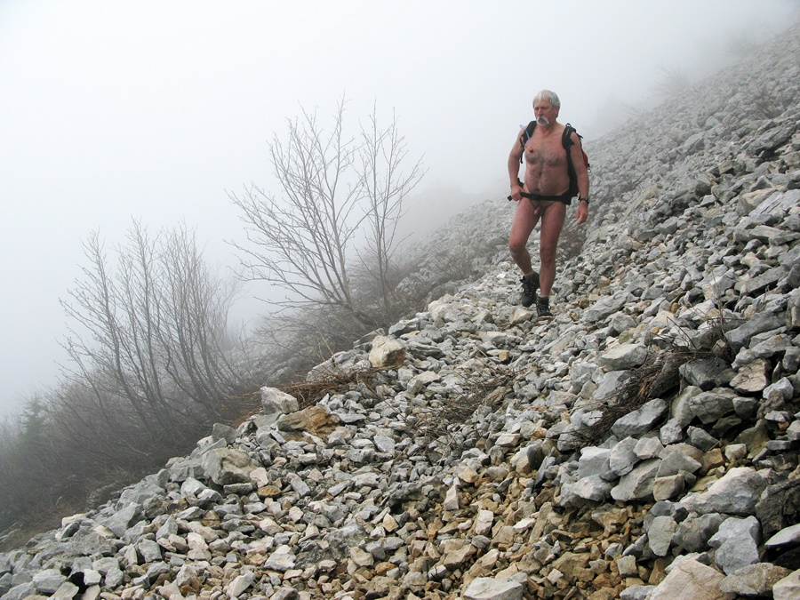
Je peux redescendre, toujours dans le brouillard. Soudain, j’entends un bruit, je tourne la tête. Une silhouette emmitouflée dans une parka avec capuche se tient dans les rochers, quelques mètres au dessus du chemin. Je lance un «Bonjour» qui m’est retourné, puis je disparaît dans la brume. Pour allonger un peu la balade, je fais un petit détour sur le sentier du Périmètre puis trouve un chemin qui coupe dans la forêt et retrouve la route forestière, que je peux suivre nu jusqu’au parking.


The valleys are sunny, but the mountains are clinging to heavy clouds. Never mind. I’m driving up to the Prelenfrey Forest Road. There is another vehicle on the parking lot and it is not hot: consequently, I start in shorts and tee shirt. I don’t recognize the forest track which has obviously been widened and bulldozed.
After twenty minutes, I leave it for a small path. I also take the opportunity to remove my clothes. But soon I’m in the fog of the clouds. But as the body is warm and active, no problem to continue like this. After the hut, I find a few snowdrifts; the branches of the shrubs are still covered with frost. The last shoelaces, and here is the Green Pass. On the other side of the narrow passage in the rock, a thin layer of fresh snow covers the landscape. Winter atmosphere in this month of May.
It is necessary to move. It’s good timing because I chose this destination to find a geocache that has been put recently in the area. Here it is, I have it and I’m the first to find it.
I can go back down, still in the fog. Suddenly, I hear a noise, I turn my head. A silhouette in a hooded parka is standing in the rocks a few meters above the path. I throw a « Hello » that is returned to me, then I disappear into the fog. To lengthen the walk a bit, I make a small detour on the Perimeter Trail and then find a path that cuts through the forest and rejoins the forest road, which I can follow naked to the parking lot.

Praorzel

Vendredi 13, jour de chance: je ne travaille pas et il fait beau.
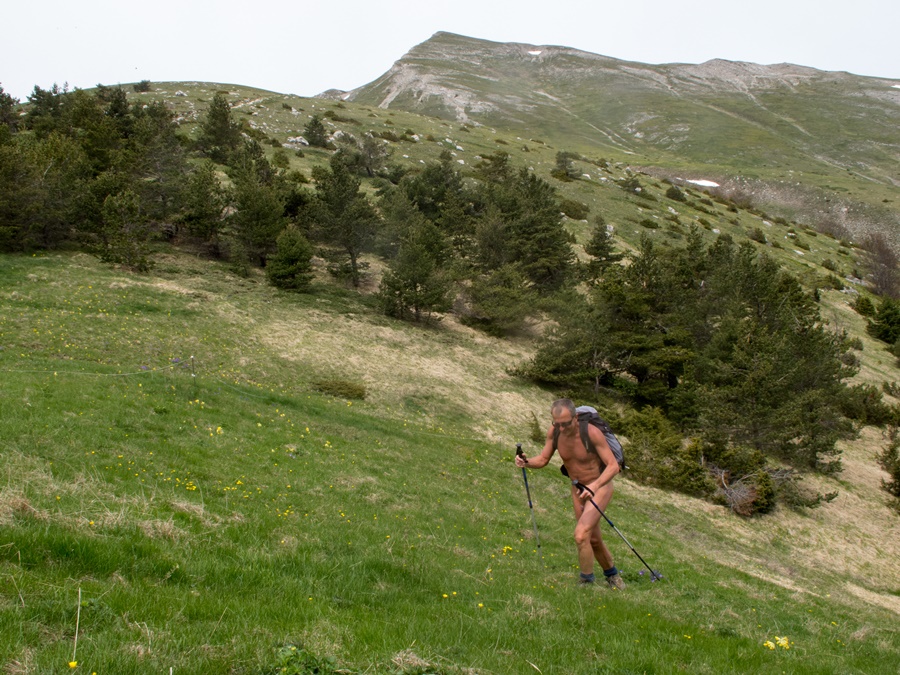
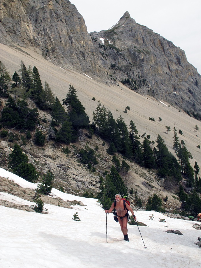
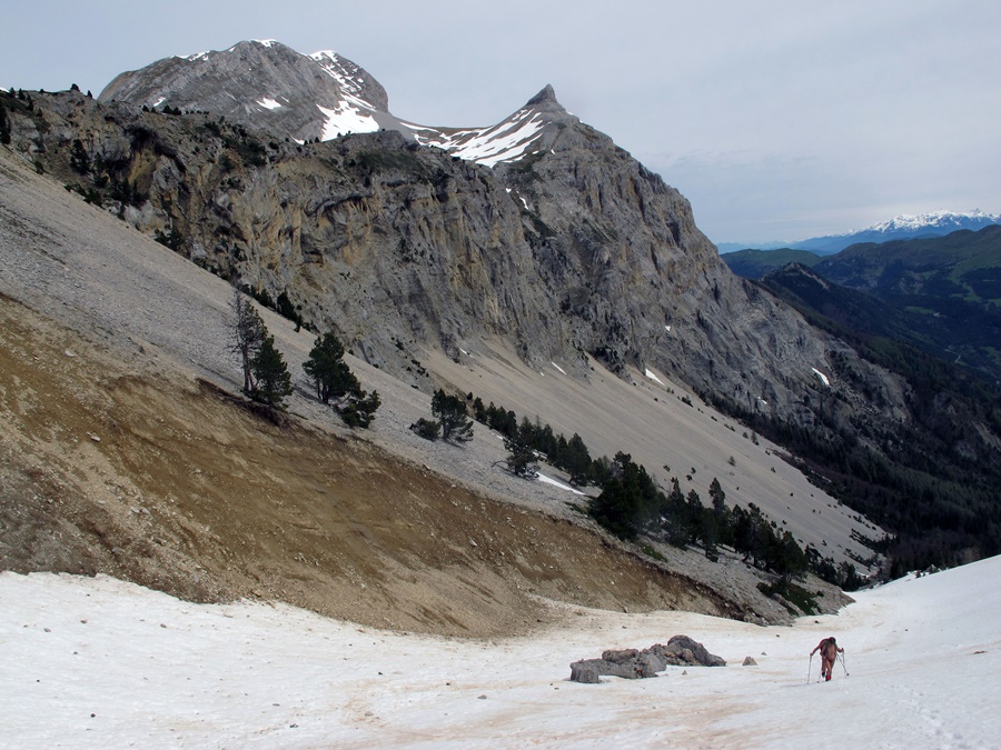
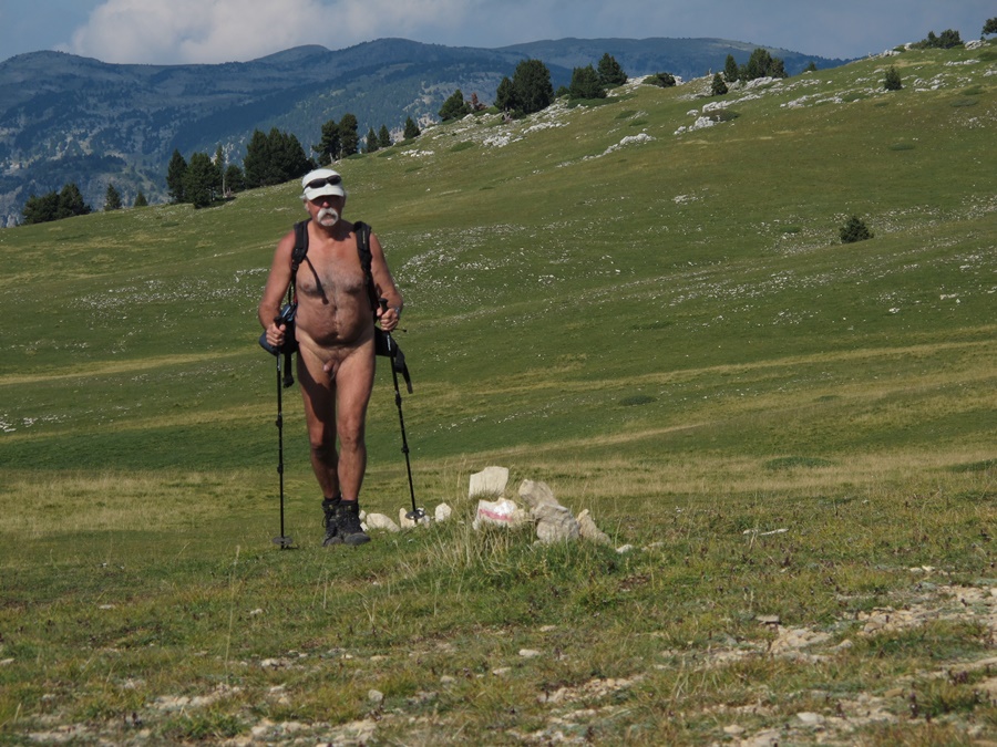
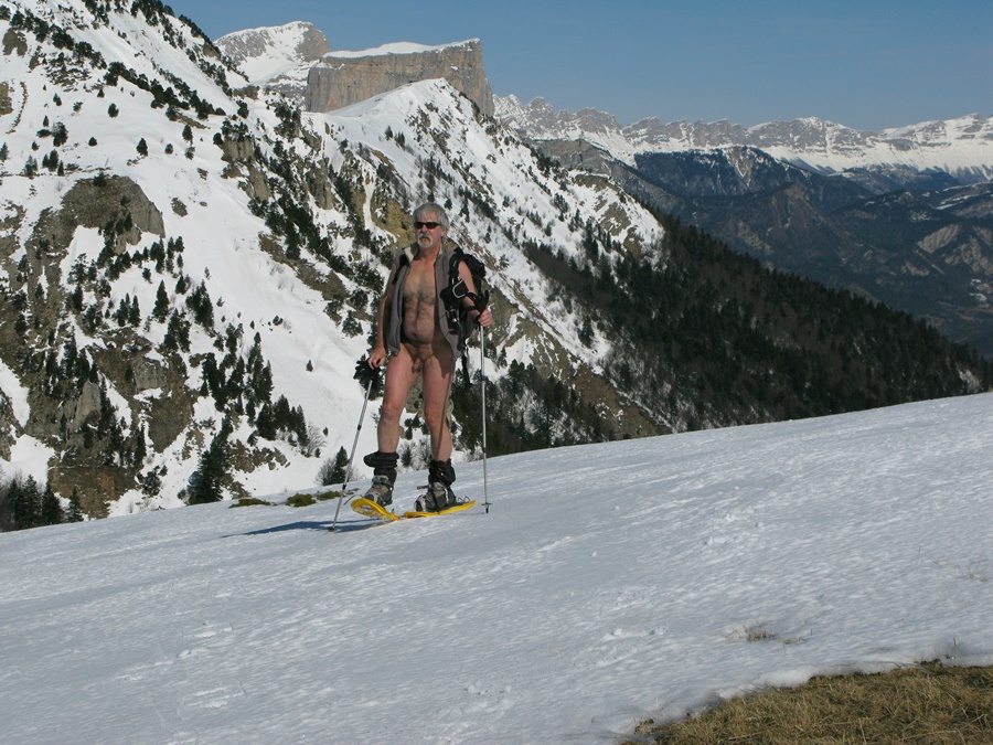
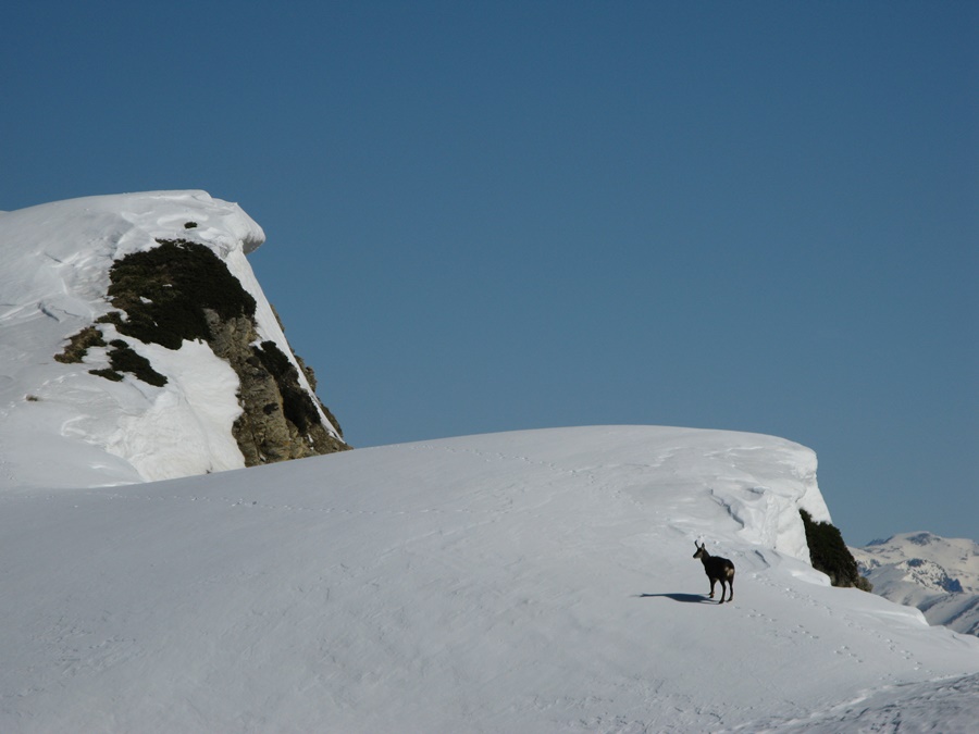
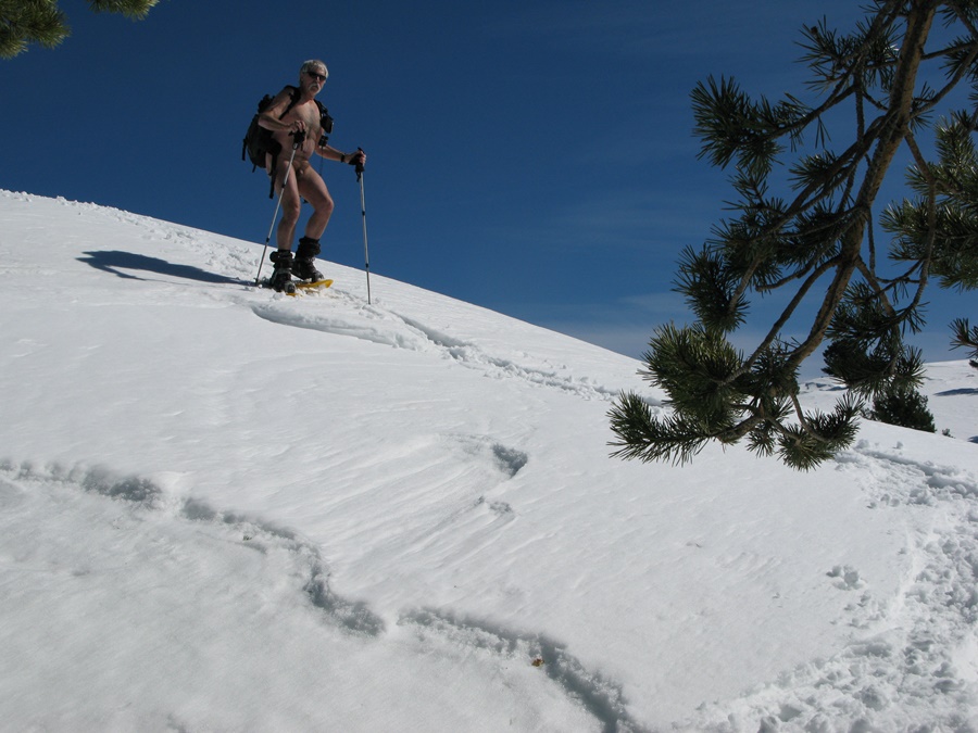
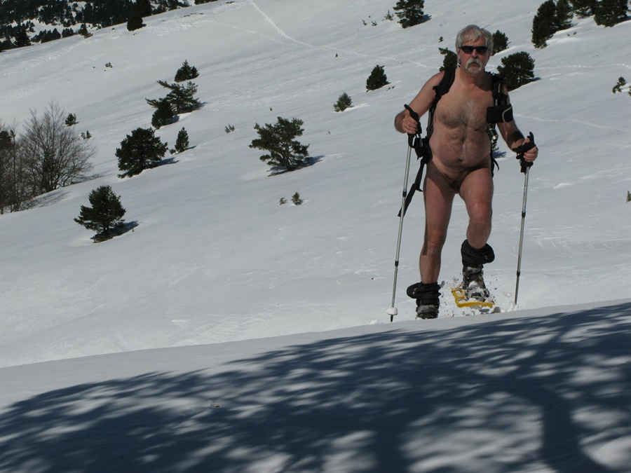
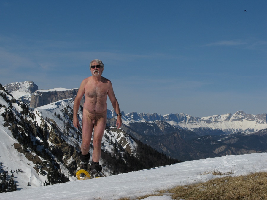
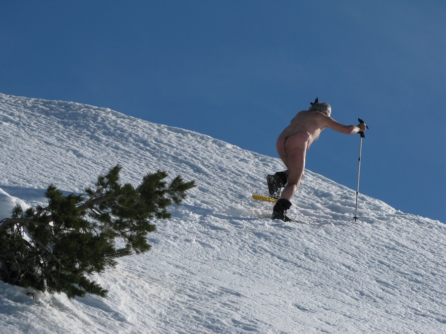
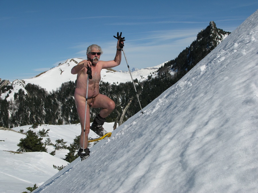
Arrivé au col de Menée, il y a déjà une voiture sur le petit parking. Deux skieurs se préparent…et partent dans la direction opposée. Encore la chance. La pente de neige est juste au bord de la route. Il est tôt, la neige est encore dure. Au bout d’une dizaine de minutes, je suis hors de vue de la route. Il fait encore frais, surtout lorsque soufflent des rafales de vent, mais je me déshabille. La seule trace de raquette date de la veille. Je suis tout seul dans ce coin là. Je suis la crêtes de la Grande Leirie , succession de montée et descentes. Je fais ma trace dans la neige vierge, me faufile parfois entre les pins. Arrivé au bord d’une combe, j’aperçois trois chamois sur le versant d’en face. Ils se sauvent à mon approche.
Peu après, en me retournant, j’aperçois deux silhouettes qui suivent mes traces. Tant pis, je continue comme je suis. Arrivé au sommet de la Tête de Praorzel, je m’assieds sur une plaque d’herbe pour casse croûter. Là je remet un tee shirt , mon gilet et un short, car, immobile, on ressent nettement plus la fraîcheur du vent.
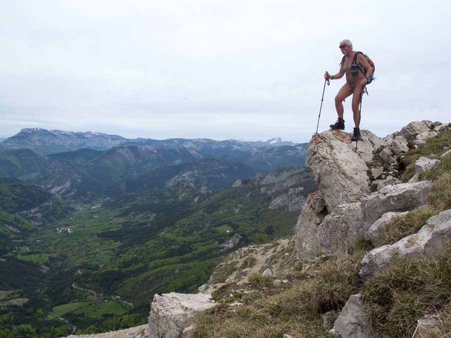
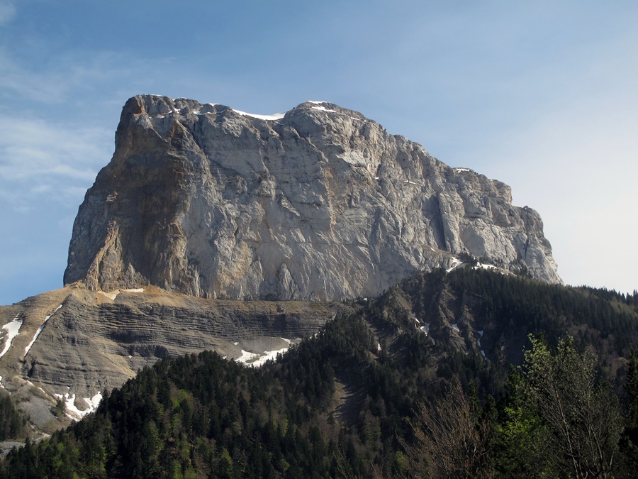
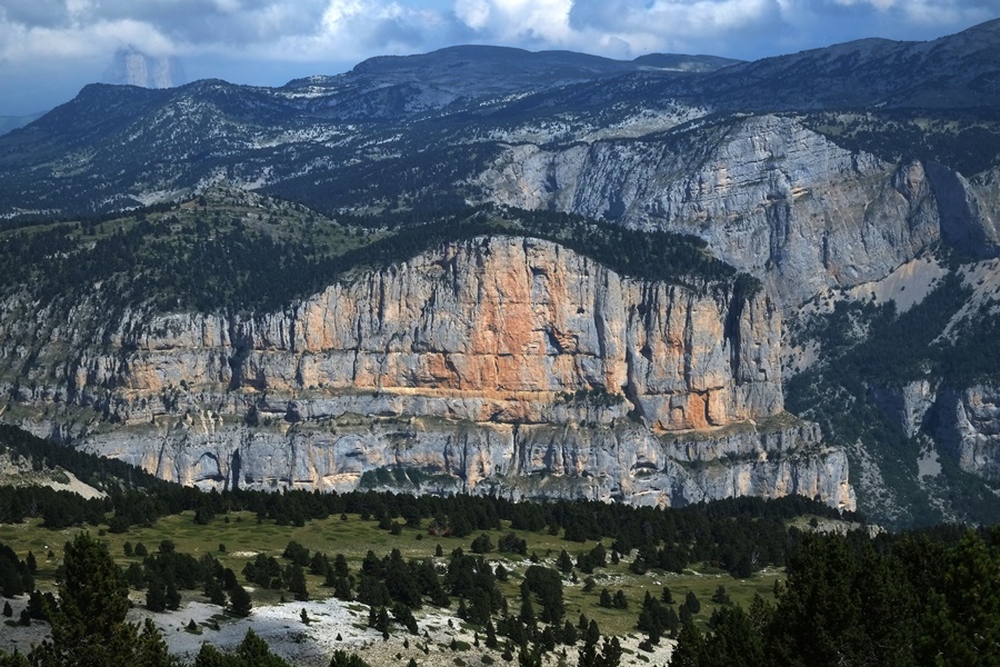
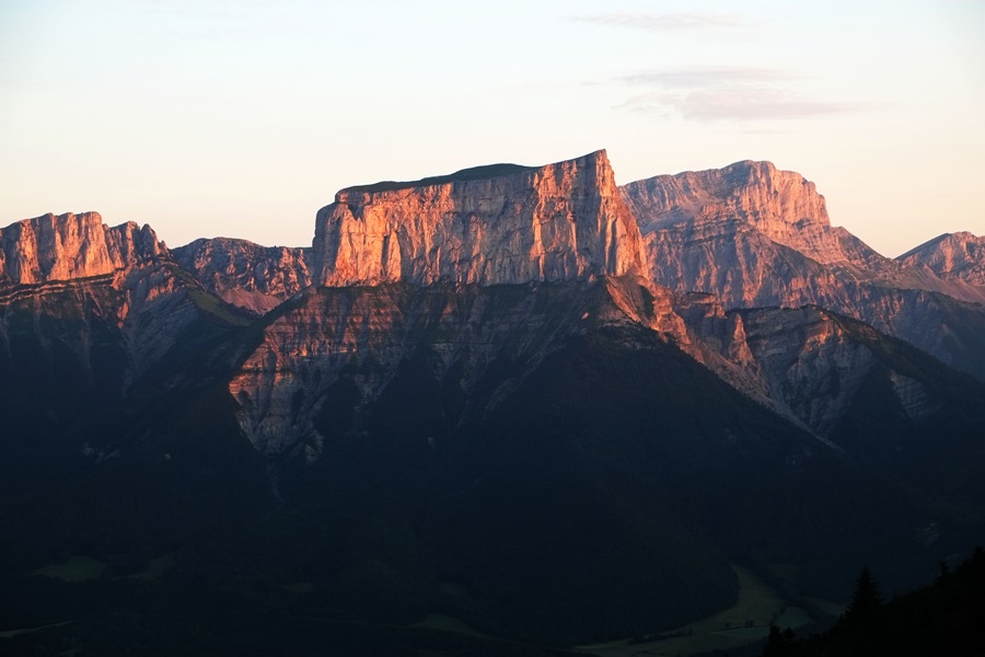
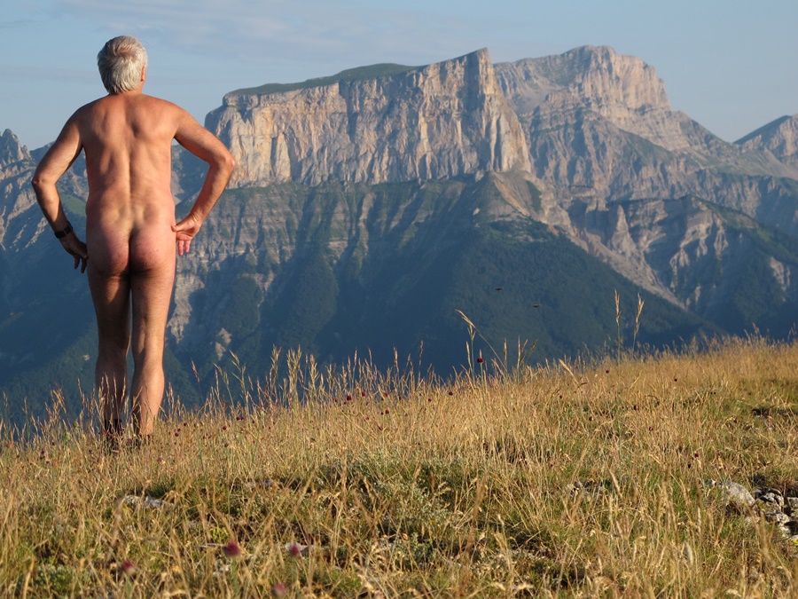
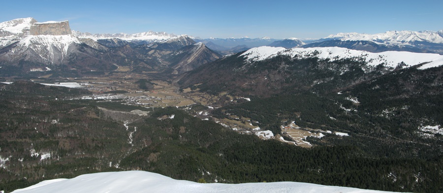
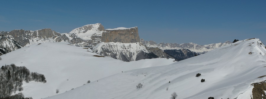
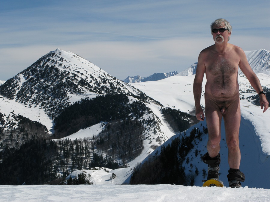
Le Mont Aiguille et le Grand Veymont sont en face. La vallée de Chichiliane juste au pied de la falaise.
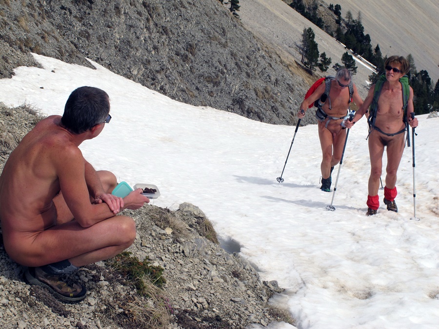
Demi-tour. Je passe à proximité des deux skieurs entrevus tout à l’heure, qui se sont arrêtés eux aussi pour manger. Puis dès que seul de nouveau, je me redéshabille pour continuer la balade. Je suis tellement bien que je fais quelques détours, histoire de prolonger la sortie et profiter de tout cet espace qui s’offre à moi seul. Finalement, en vue du parking, je remet mes vêtements après cinq heures et demi de randonnée et plus de quatre heures et demi de randonnue.
Un jour de chance, ce vendredi 13!


Friday the 13th, lucky day: I’m not working and the weather is nice.
Arrived at the Menée pass, there is already a car on the small parking lot. Two skiers are getting ready…and leave in the opposite direction. Another lucky day. The snow slope is right on the side of the road. It’s early, the snow is still hard. After about ten minutes, I’m out of sight of the road. It’s still chilly, especially when there are gusts of wind, but I take off my clothes. The only trace of snowshoeing was from the day before. I’m all alone in that place. I follow the ridge of the Grande Leirie, a succession of ascents and descents. I make my mark in the virgin snow, sometimes sneaking through the pines. Arriving at the edge of a coomb, I see three chamois on the opposite slope. They run away as I approach.
Shortly afterwards, as I turn around, I see two silhouettes following in my footsteps. Never mind, I continue as I am. At the top of the Tête de Praorzel, I sit down on a patch of grass for a snack. There I put on a T-shirt, my waistcoat and shorts, because, motionless, one feels the freshness of the wind much more.
The Mont Aiguille and the Grand Veymont are opposite. The valley of Chichiliane just at the foot of the cliff.
Turn back. I pass close to the two skiers I saw earlier, who also stopped to eat. Then as soon as I’m alone again, I undress to continue the walk. I’m so good that I take a few detours, just to extend the outing and enjoy all this space that is offered to me alone. Finally, in view of the parking lot, I put my clothes back on after five and a half hours of hiking and more than four and a half hours of naked hiking.
A lucky day, this Friday the 13th!

La barrière est

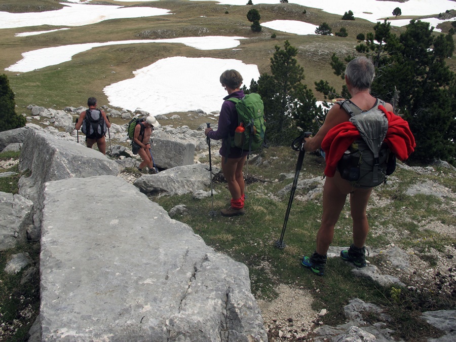
Ce dernier vendredi de septembre, je suis à 9h30 au bout de la route forestière de Prelenfrey, au pied du Vercors. Il y a déjà 5 ou 6 voitures, dont un véhicule de l’armée, sur le parking, et deux grimpeurs qui observent les falaises. J’entame donc la balade en short et tee shirt.
Une petite vingtaine de minutes plus tard je trouve la baraque des Clots ouverte avec un groupe à l’intérieur. Je me permets donc de penser que ce sont les propriétaires des voitures et que je peux me déshabiller dès j’ai dépassé la baraque.
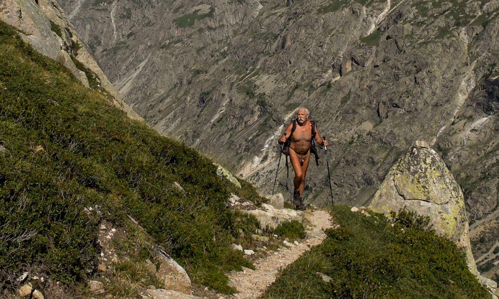
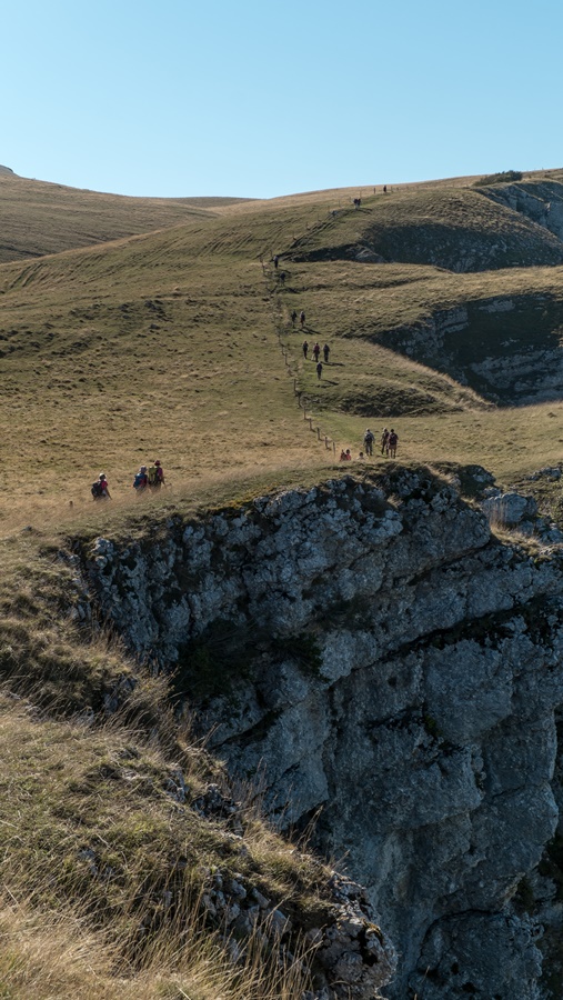
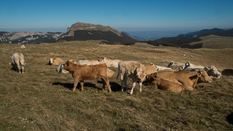
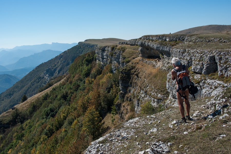
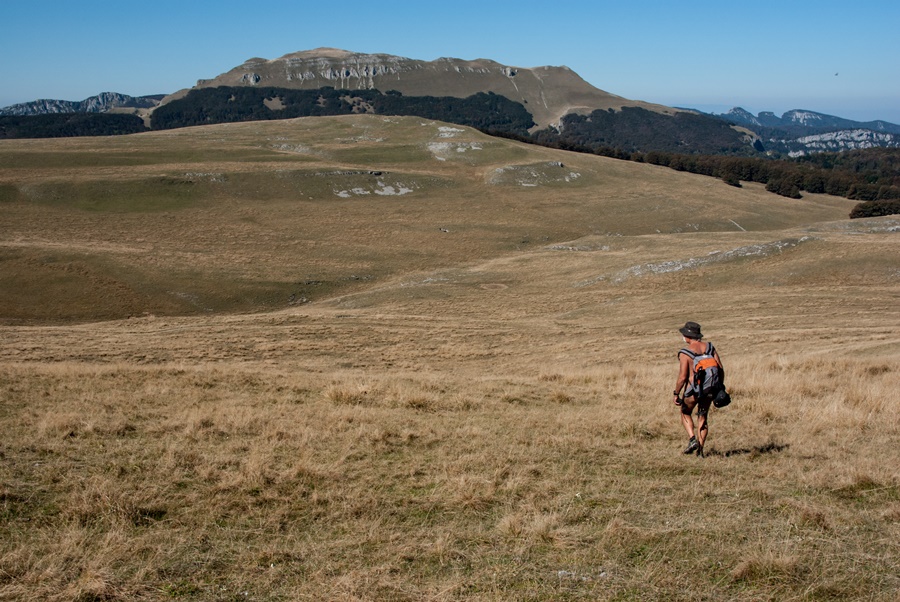
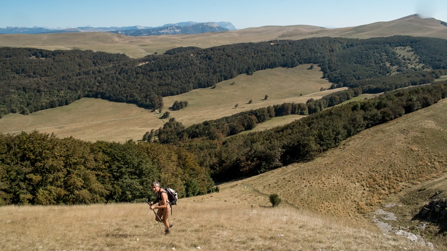
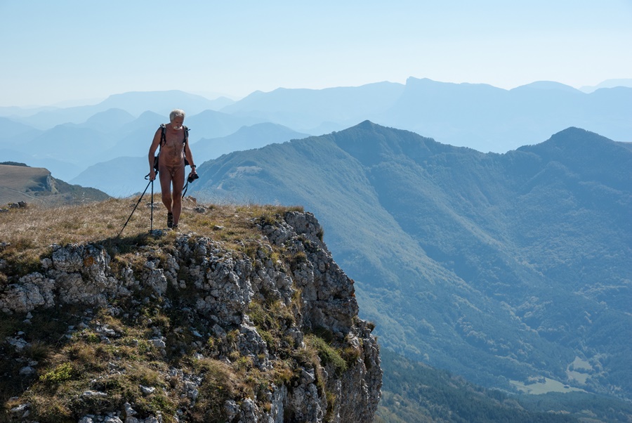
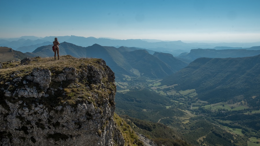
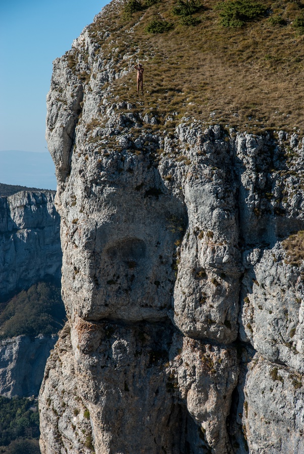
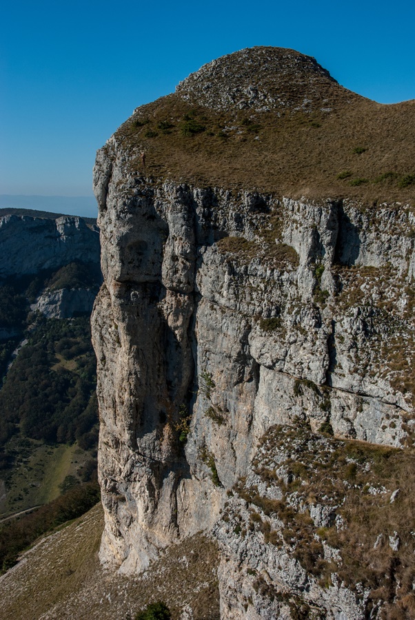
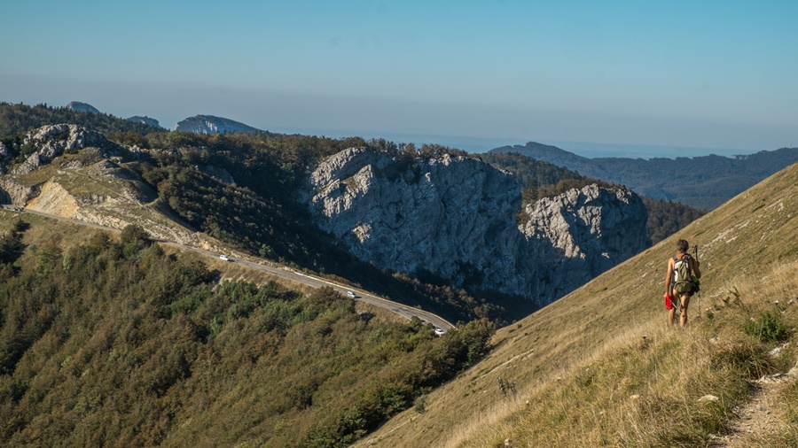
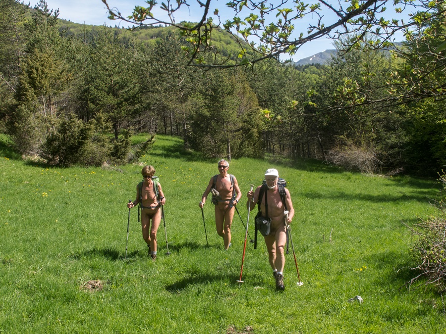
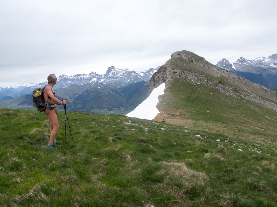
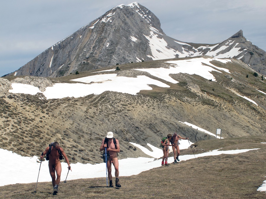
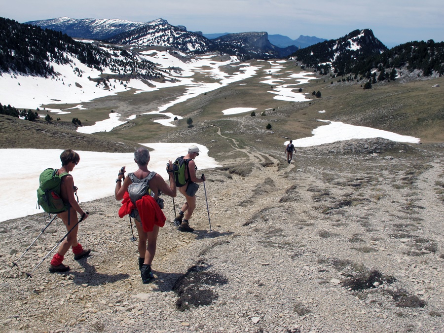
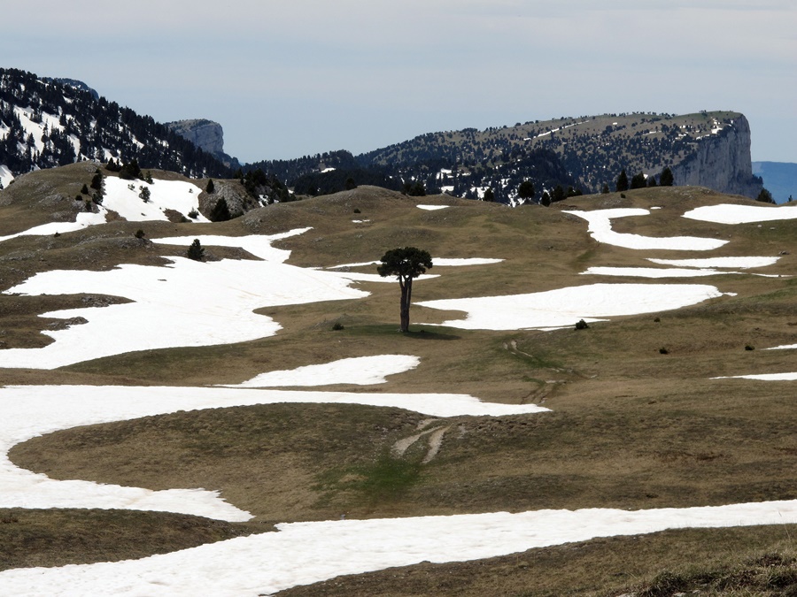
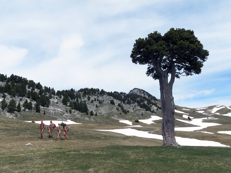
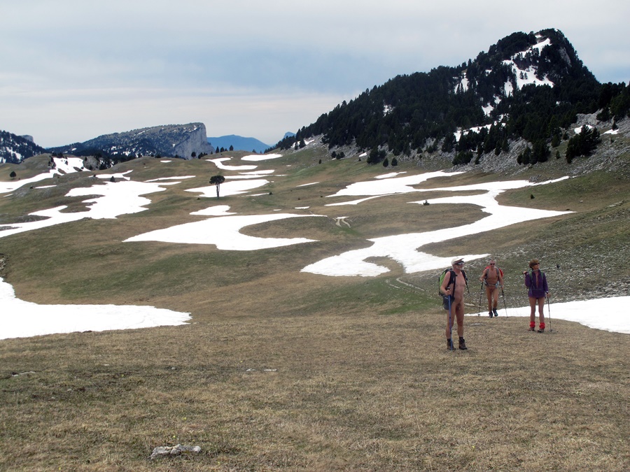
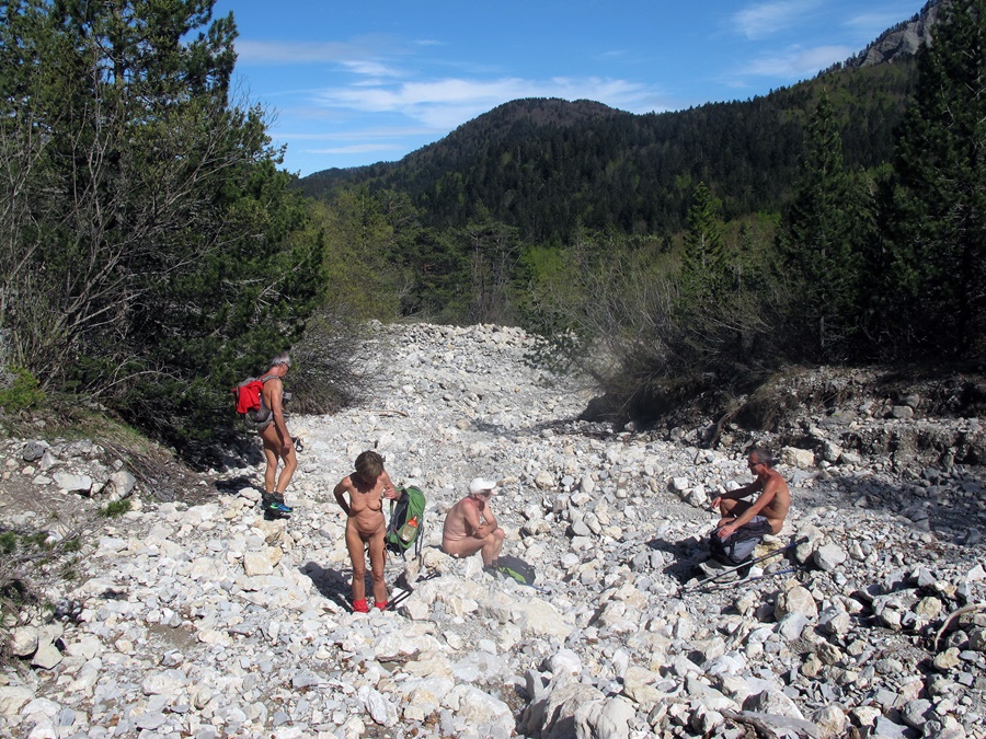
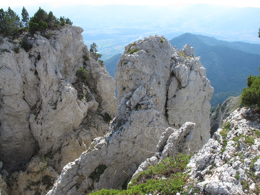
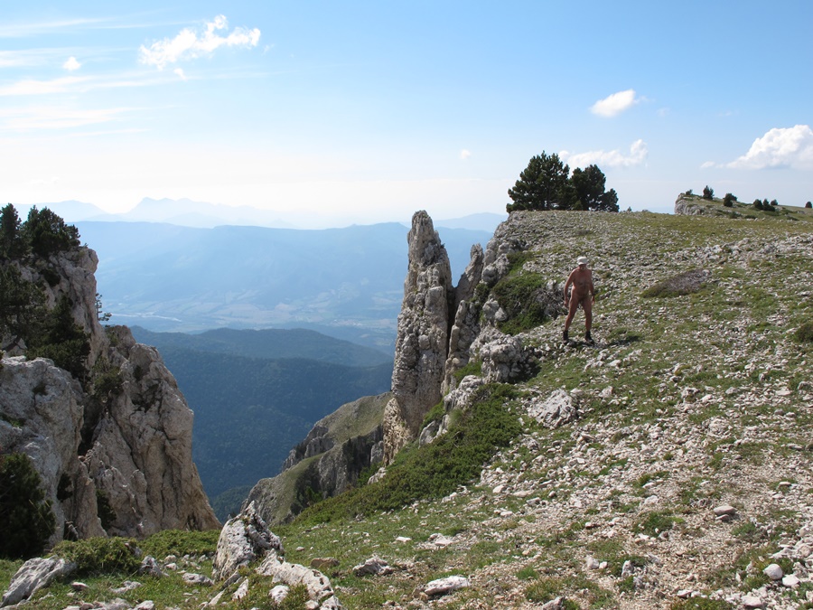
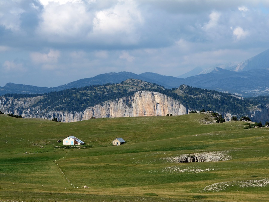
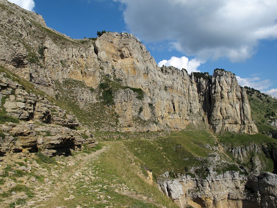
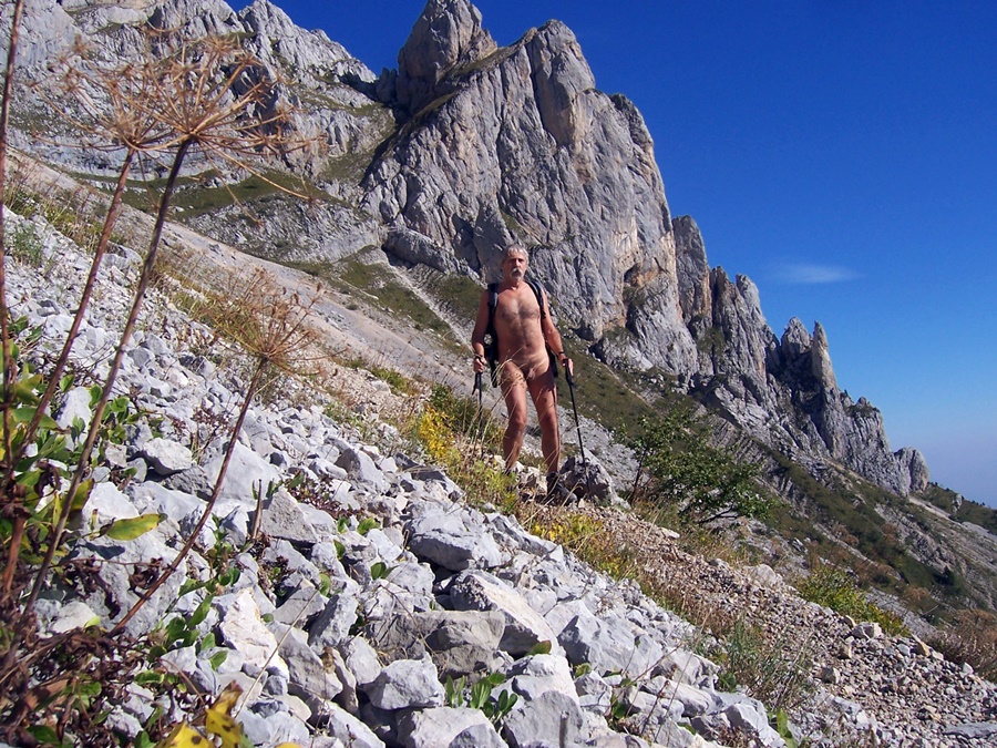
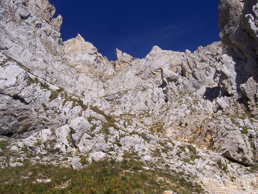
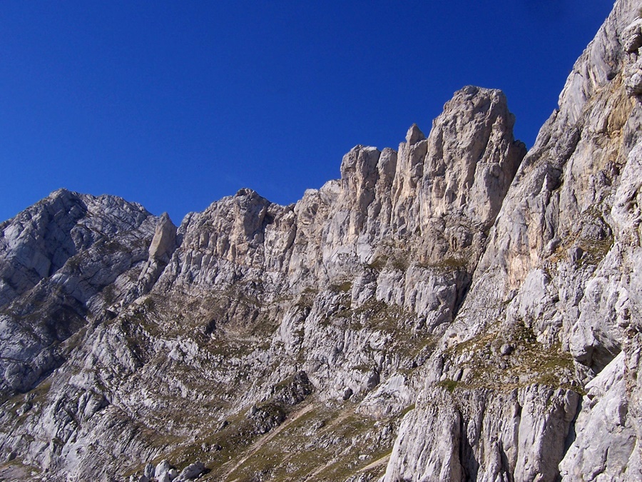
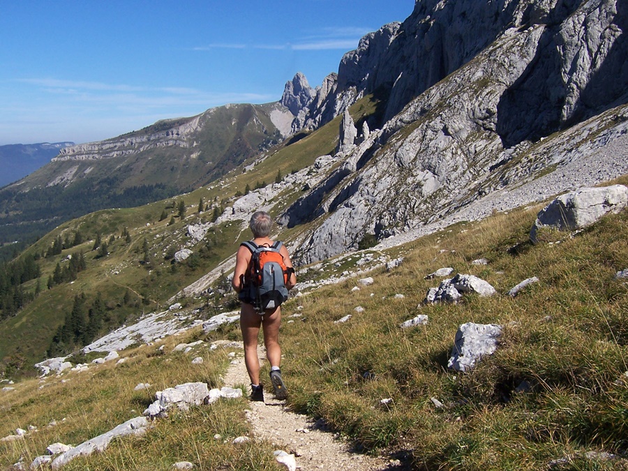
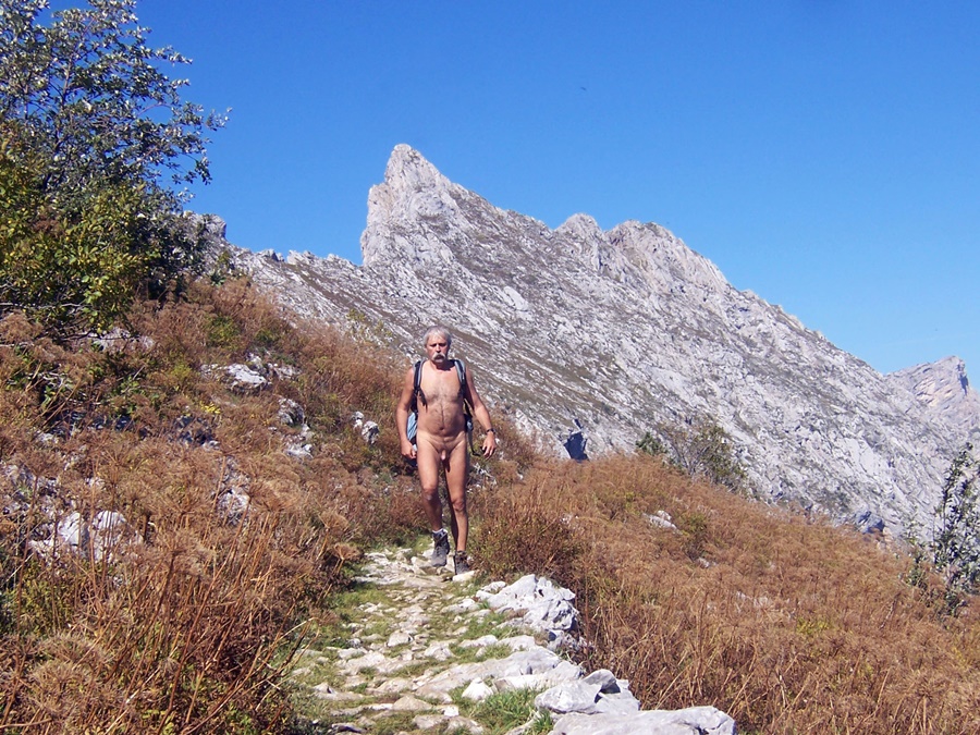
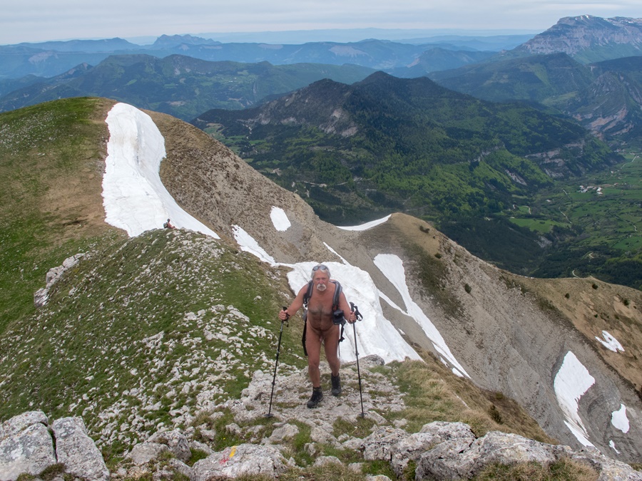
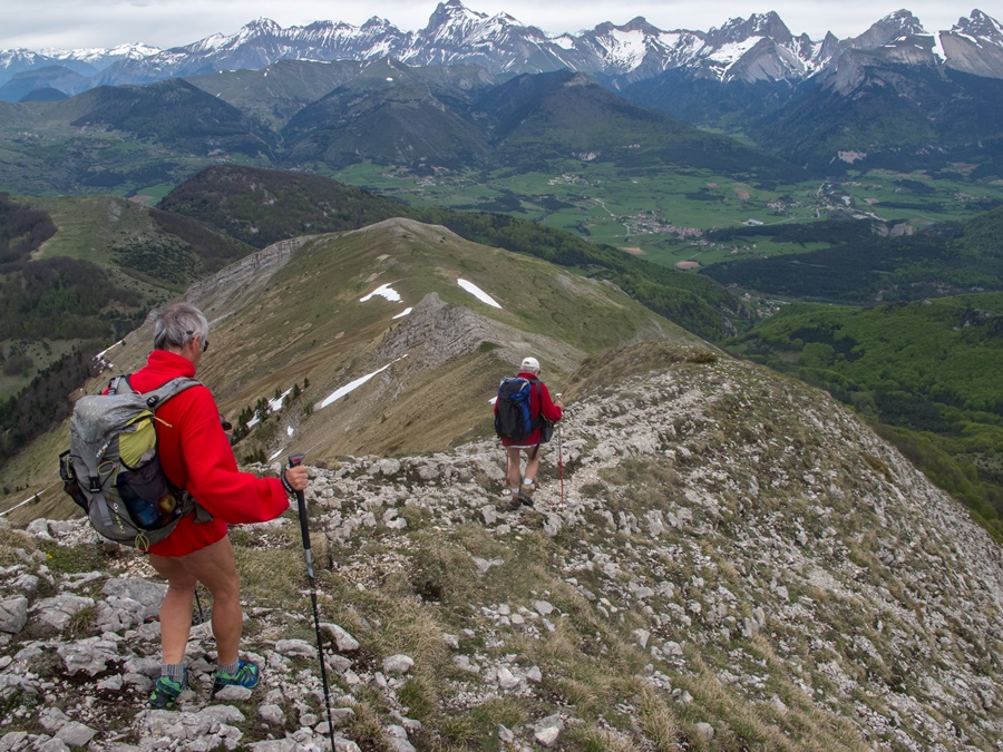
Il fait grand beau. Le soleil a réchauffé l’atmosphère matinale. A travers un long pierrier, le chemin monte vers la barrière de falaises. Le pas de l’Oeille se cache par là, difficile à deviner. Au pied du mur vertical, des marques de peinture rouge sur les pierres indiquent la voie qui se faufile entre les barres rocheuses. Ce n’est pas spécialement exposé, ni vertigineux, quoique par temps humide ça doive glisser quelque peu. On débouche soudain dans la prairie des hauts plateaux, juste devant le sommet du Gerbier. C’est un tout autre décor que cette barrière est du Vercors: une longue crête qui remonte au le nord vers le Col Vert puis le Col de l’Arc en direction du Moucherotte. En contrebas les remontées mécaniques et les gares supérieures de la station de Villard de Lans. Tout en bas, le village.
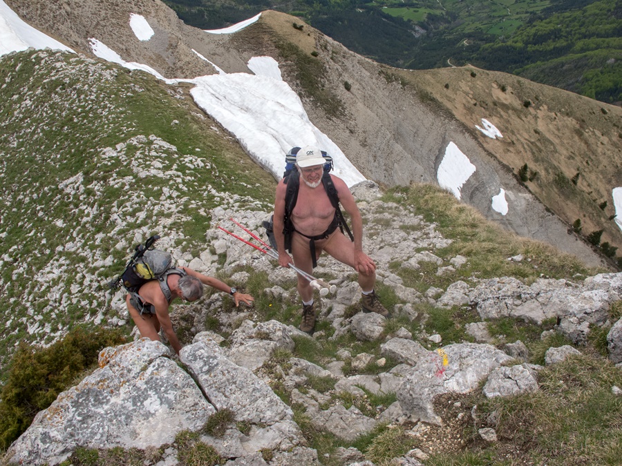
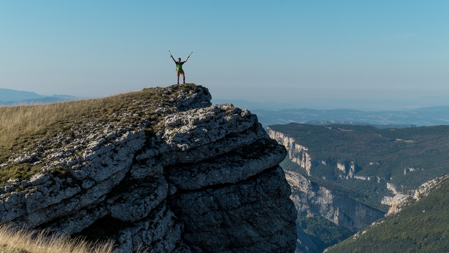
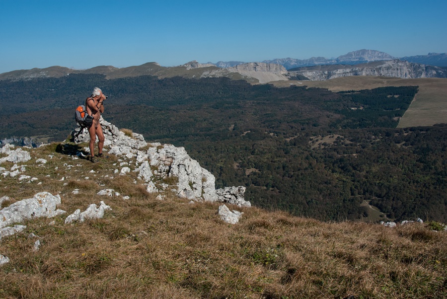
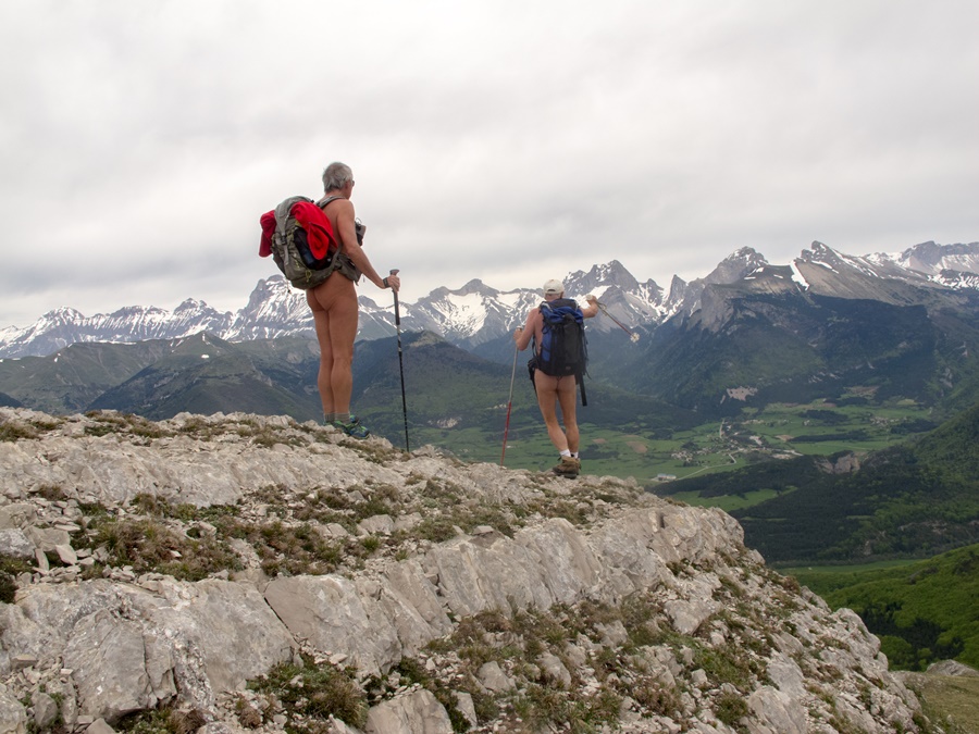
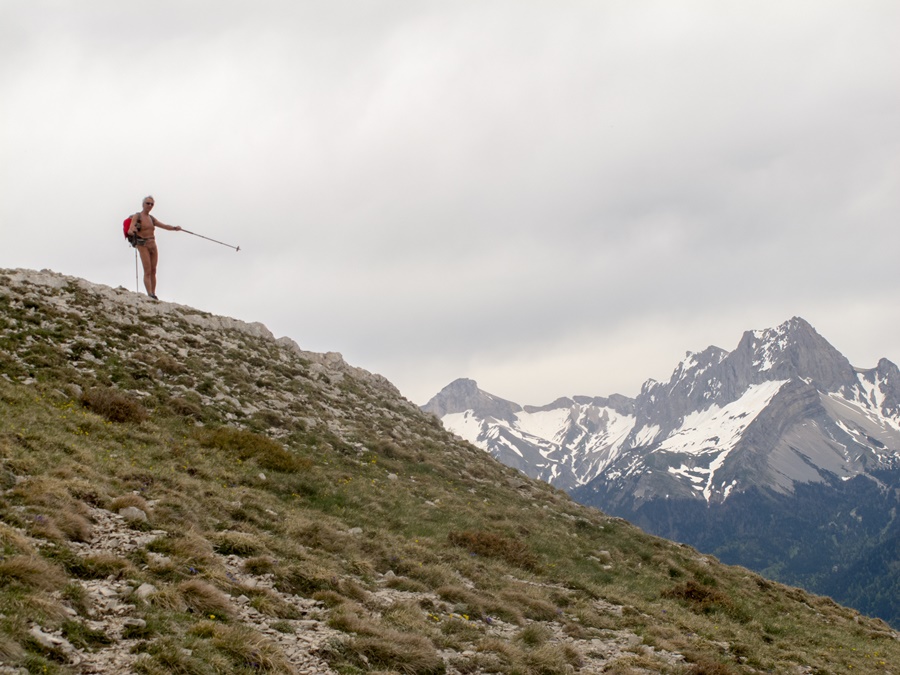
Il n’y a absolument personne! Je traîne un peu dans le coin, à profiter de la vue panoramique: l’agglomération grenobloise au fond de la vallée, les sommets de Chartreuse, notamment la Dent de Crolles, puis les Bauges, et au fond le Mont Blanc; en revenant vers la droite les massifs de Belledonne et des Rousses, les glaciers de l’Oisans et enfin le Devoluy avec l’Obiou et le Ferrand. J’ai la plus grande partie des alpes françaises rien que pour moi!
Mais bon, si je veux faire une boucle, il reste encore du chemin. Descendre quelque peu, puis remonter vers le Col Vert et revenir vers Prelenfrey par le sentier du Balcon Est.
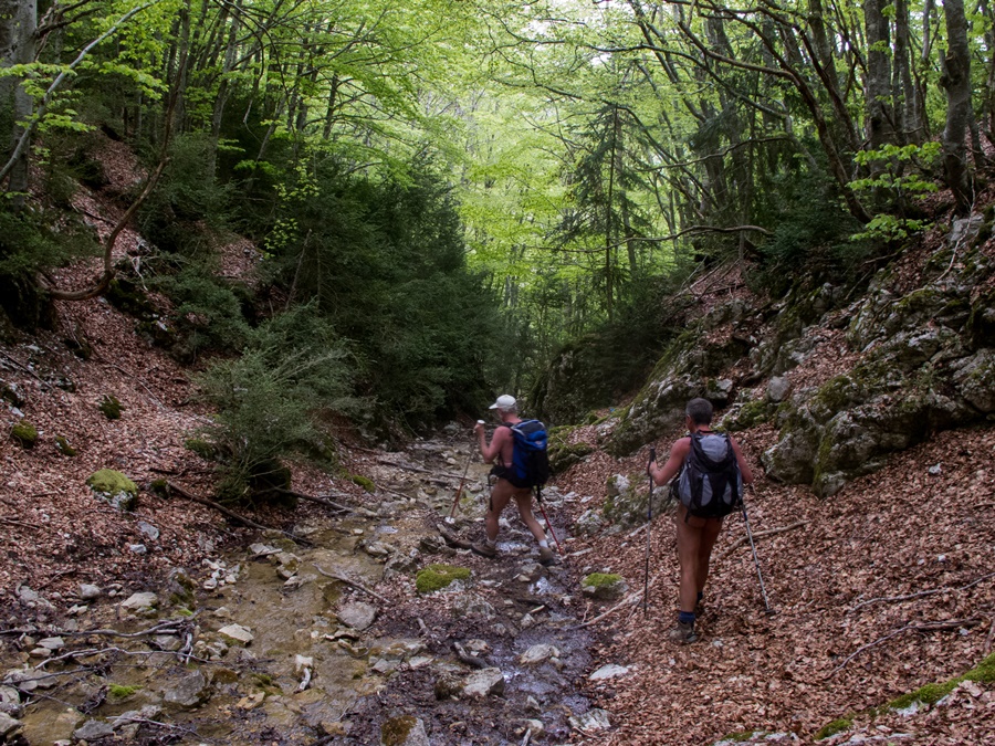
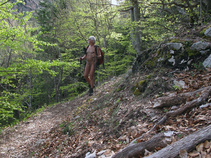
J’ai pris une telle dose de soleil que je suis tout content pour finir de trouver une traversée de sous bois qui me rafraîchisse enfin. Et pourtant, c’est déjà l’automne. Au total ce ne sera pas loin de six heures de balade, dont une demi heure seulement habillé, les 20 minutes du début et le passage du col.


This last Friday of September, I am at 9:30 am at the end of the forest road of Prelenfrey, at the foot of the Vercors. There are already 5 or 6 cars, including an army vehicle, on the car park, and two climbers watching the cliffs. So I start the walk in shorts and tee shirt.
About twenty minutes later I find the Clots hut open with a group inside. I allow myself to think that they are the owners of the cars and that I can undress as soon as I pass the hut.
The weather is great. The sun has warmed the morning atmosphere. Through a long scree, the path climbs towards the cliff barrier. The « Pas de l’Oeille » is hidden there, hard to guess. At the foot of the vertical wall, red paint marks on the stones indicate the path that winds its way between the rocky bars. It’s not particularly exposed, nor dizzying, although in wet weather it must slide somewhat. Suddenly you emerge in the high plateau meadow, just in front of the Gerbier summit. It’s a completely different scenery than this eastern barrier of the Vercors: a long ridge that goes up north towards the Col Vert and then the Col de l’Arc towards the Moucherotte. Below the ski lifts and the upper stations of the resort of Villard de Lans. At the very bottom, the village.
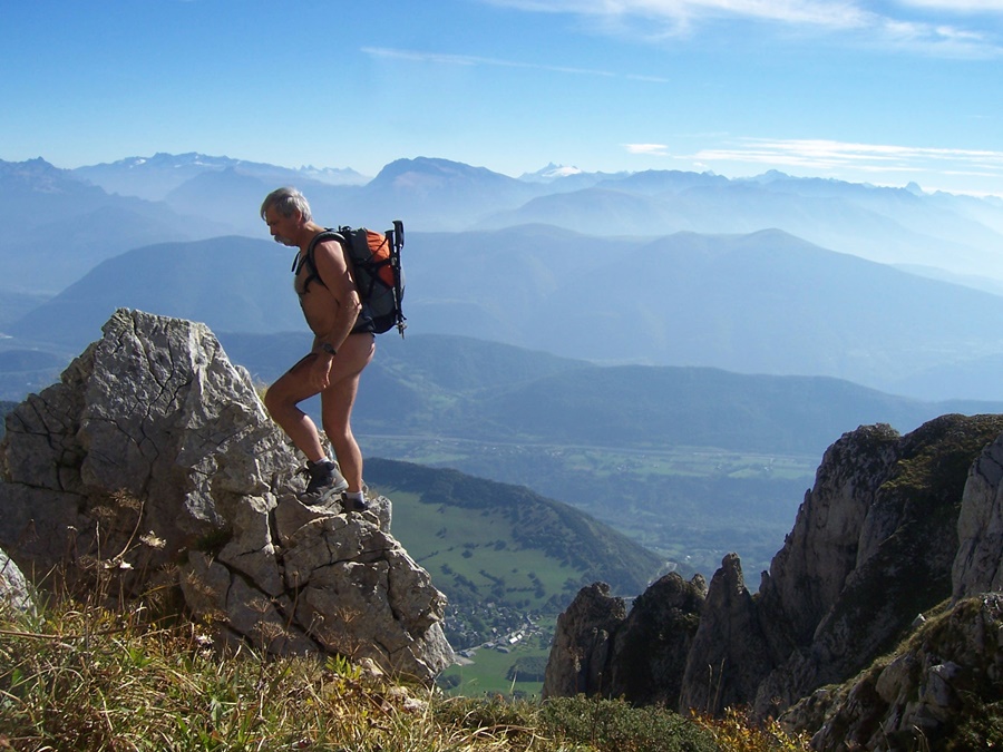
There is absolutely nobody! I hang around a bit, enjoying the panoramic view: the Grenoble area at the bottom of the valley, the peaks of Chartreuse, especially the Dent de Crolles, then the Bauges, and at the background the Mont Blanc; coming to the right the massifs of Belledonne and des Rousses, the glaciers of Oisans and finally Devoluy with the Obiou and Ferrand. I have most of the French Alps all to myself!
But hey, if I want to make a loop, there’s still a long way to go. Go down a bit, then up to the Col Vert and back to Prelenfrey via the Balcony East path.
I took such a dose of sunshine that I’m quite happy to finally find an undergrowth traverse that refreshes me at last. And yet, it’s already autumn. In total it will not be far from six hours of walking, including only half an hour with clothes on, the 20 minutes of the beginning and the passage of the pass.
Pic Saint Michel

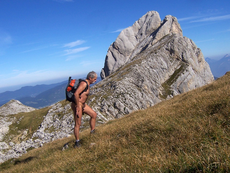
Le Pic Saint Michel, un dimanche matin en randonnue? Impossible, il y a toujours plein de monde la haut, pensais je jusqu’à aujourd’hui.
Ce matin quand je suis arrivé au parking, il n’y avait que trois voitures. Bon d’accord, les conditions n’étaient pas parfaites: des nuages arrivant à l’horizon, un air frais et un peu de vent. Des conditions pour être tranquille, donc!
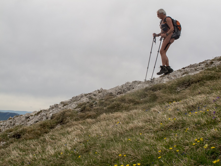
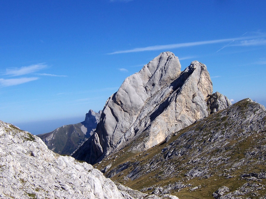
Un quart d’heure de montée rapide jusqu’à l’auberge des Allières, ça réveille et ça réchauffe. Dès l’auberge passée et à l’abri des arbres, je quitte short et tee shirt, tout en gardant le gilet polaire. Il ne doit pas faire 10°. L’ascension commence par un bon raidillon dans la foret, suivi d’un deuxième avec la vue dégagée sur le village de Villard de Lans et le plateau du Vercors. Puis le chemin serpente entre vallons herbeux et zones de rochers et de lapiaz pour finir par une montée toute droite sur un chemin empierré vers un col et le sommet du Pic Saint Michel.
Du col, à travers une trouée entre les rochers, on a une des plus belle vue sur Grenoble et son agglomération. Quant il fait beau! Car aujourd’hui, la lumière est bien terne. Le sommet est enveloppé par les nuages qui remontent le long des falaises. Parfois dans une déchirure, une portion de paysage ensoleillée fait son apparition puis disparaît. Je ne reste pas longtemps au sommet, car avec le vent qui souffle, la température est encore descendue. Il vaut mieux ne pas rester immobile.
Vite j’attaque la descente par le même itinéraire. Je prends juste un raccourci – qui ne raccourcit guère – pour éviter un groupe que j’entends monter et me rhabille en arrivant à proximité de l’auberge. Ce fut une petite promenade dominicale de deux heures et demi, dont deux heures, nu.


The Pic Saint Michel, a Sunday morning naked hike? Impossible, there are always a lot of people up there, I thought until today.
This morning when I arrived at the car park, there were only three cars. Ok, the conditions were not perfect: clouds coming on the horizon, fresh air and a bit of wind. Conditions to be quiet, then!
A quarter of an hour of fast ascent to the Auberge des Allières, it wakes you up and warms you up. As soon as I get past the inn and in the shelter of the trees, I leave my shorts and tee shirt, while keeping the polar jacket. It must not be 10°. The ascent starts with a good steep climb in the forest, followed by a second one with the clear view of the village of Villard de Lans and the Vercors plateau. Then the path winds between grassy hills and areas of rocks and lapiaz to finish with a straight climb on a stony path towards a pass and the summit of the Pic Saint Michel.
From the pass, through a gap between the rocks, one has one of the most beautiful views of Grenoble and its suburbs. When the weather is nice! Because today, the light is very dull. The summit is enveloped by the clouds that come up along the cliffs. Sometimes in a tear, a portion of the sunny landscape appears and then disappears. I don’t stay on the summit for long, because with the wind blowing, the temperature has gone down again. It’s better not to stay still.
Quickly I attack the descent by the same route. I just take a shortcut – which hardly shortens at all – to avoid a group that I hear going up and get dressed when I get close to the inn. It was a short Sunday walk of two and a half hours, two hours of which I spent naked.