Deux jour après la balade au pas des Bachassons dans le Vercors, c’est reparti, même équipe, même motivation.
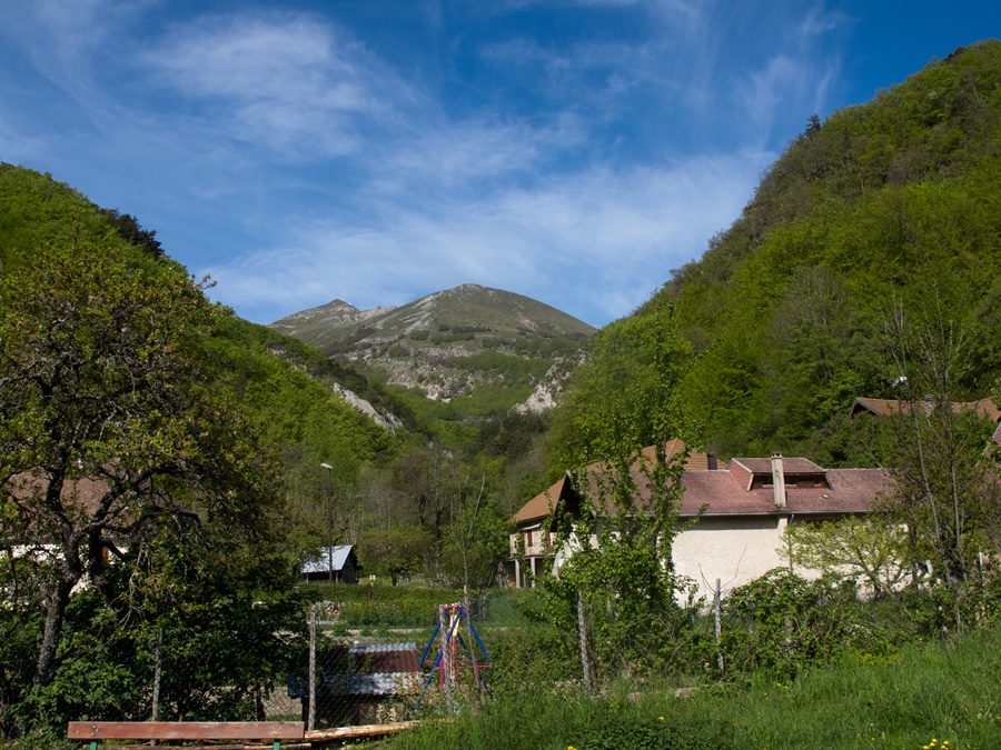
Cette fois un peu plus au sud, légèrement au delà du col de la Croix Haute. Objectif : la Toussière depuis le hameau du Caire.
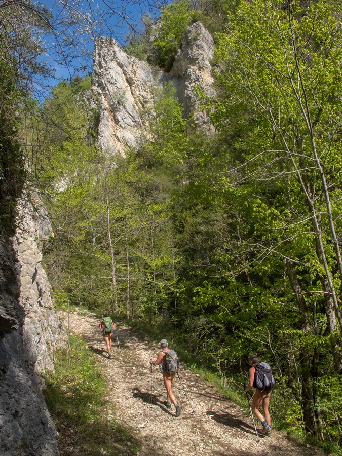
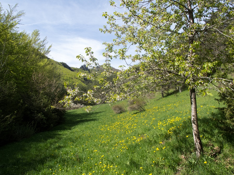
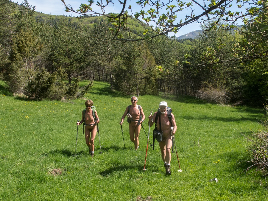
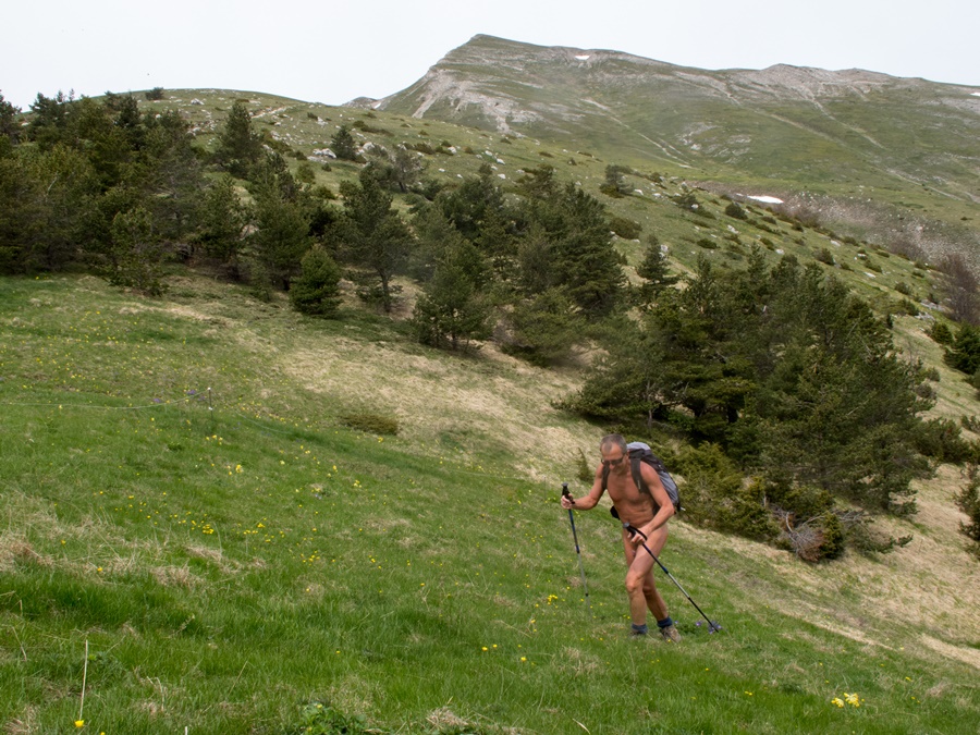
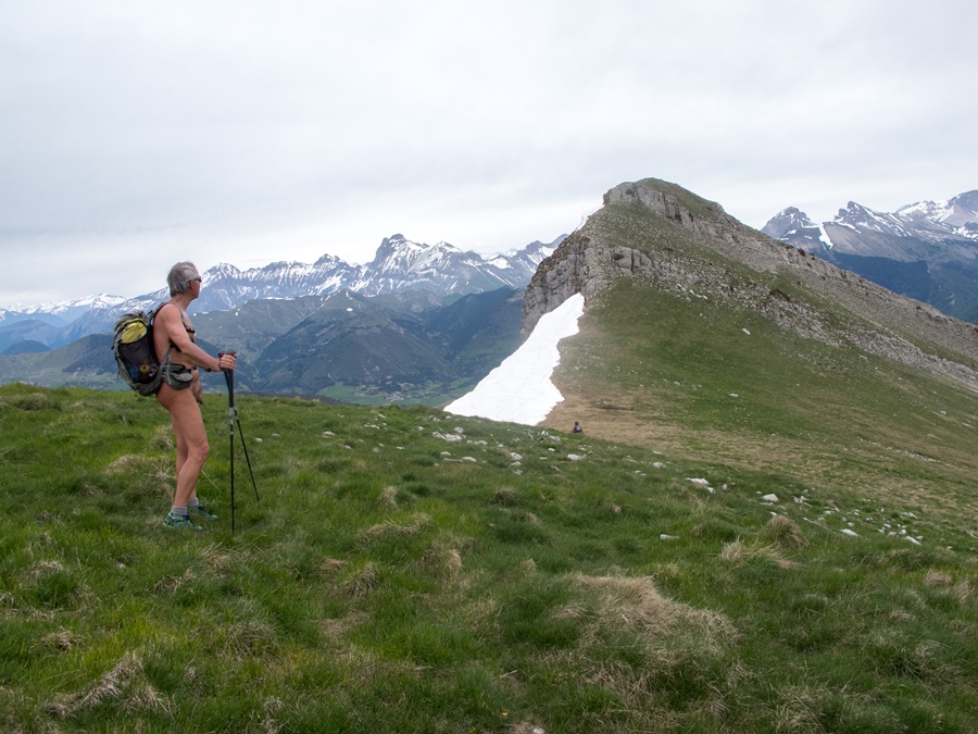
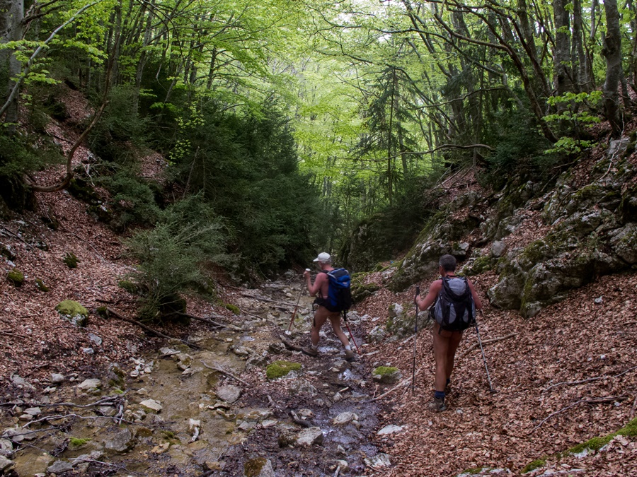
Malgré les prévisions pessimistes de la météo, le soleil brille. Au bout de quelques minutes de marche, tout le monde est en tenue. La large piste passe entre des murs de rochers puis atteint un plateau. De là part le sentier qui va nous mener tout d’abord au col du Roc Bernon. Il commence très doux à travers prairies couvertes de fleurs jaunes et bosquets d’arbres aux feuillages vert tendre, puis se redresse pour finir par un bon raidillon dans une forêt de hêtres. Au cours de cette montée, on a croisé, en s’apercevant au dernier moment, deux jeunes femmes qui descendaient. Cela les a fait bien rire !
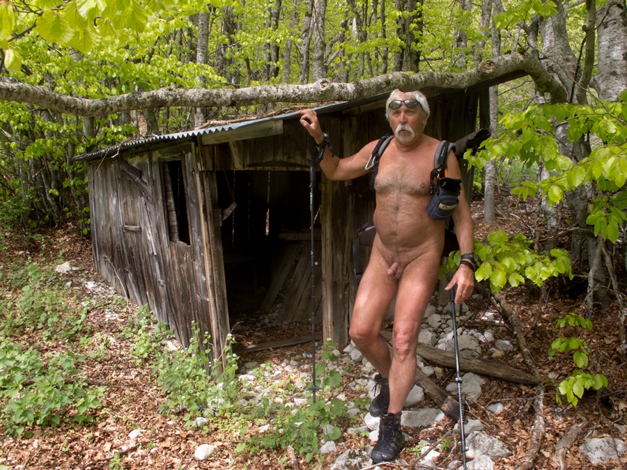
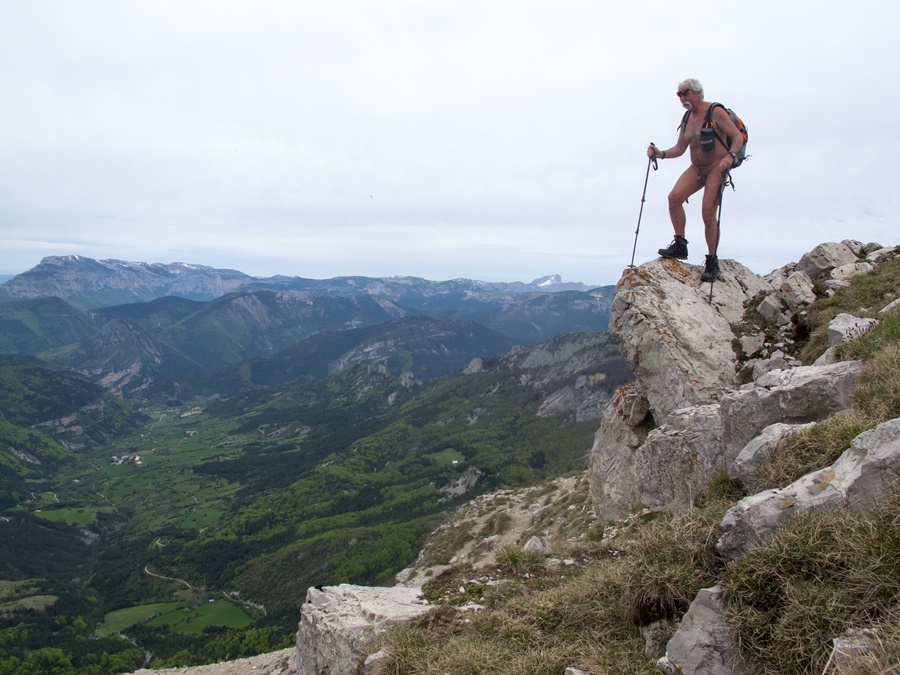
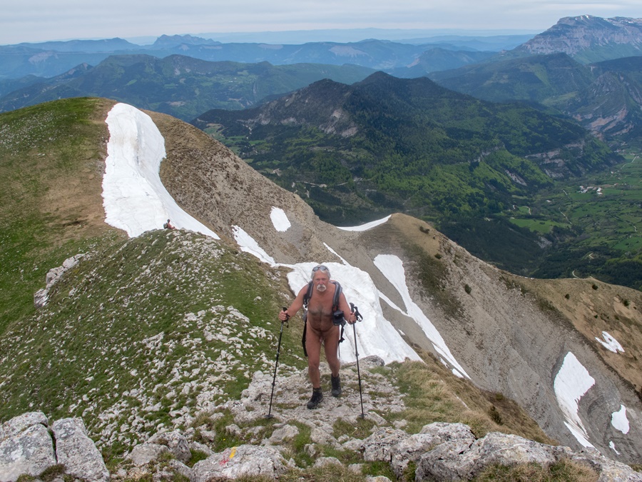
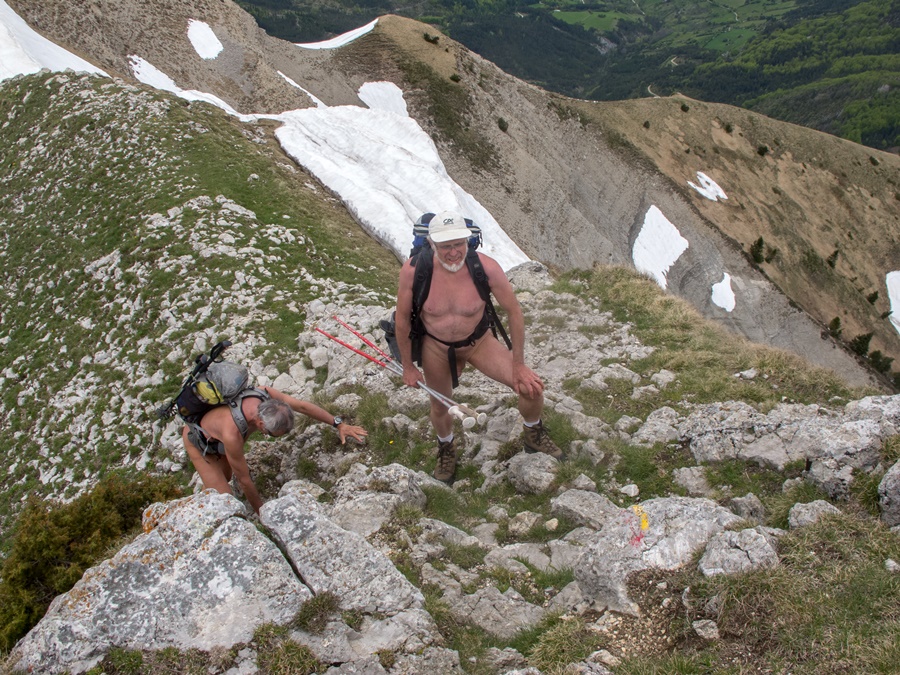
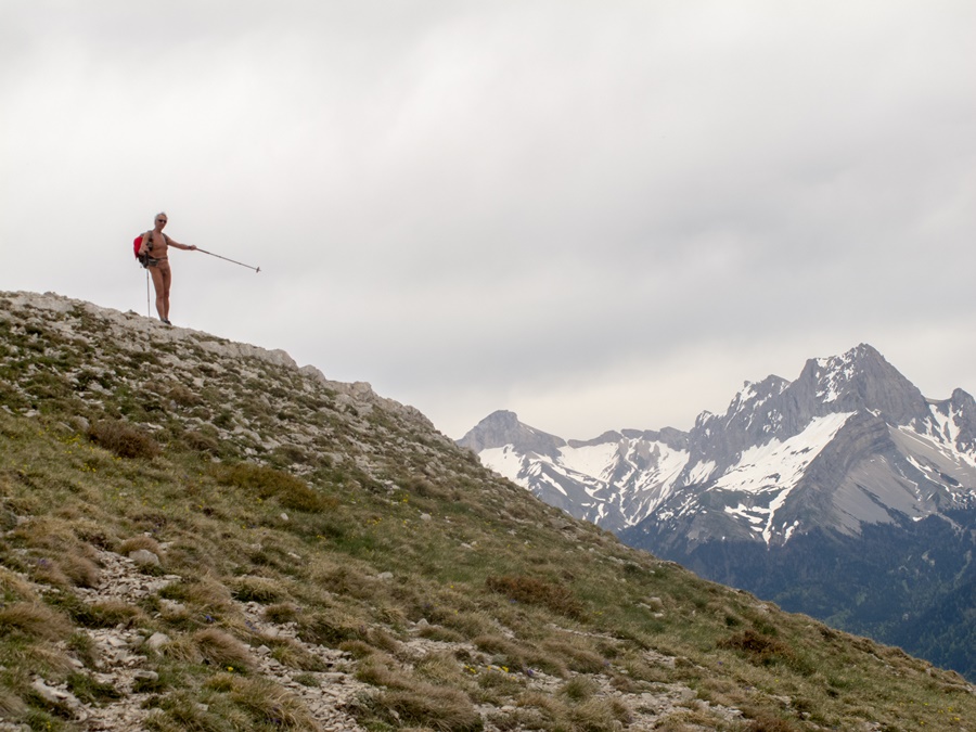
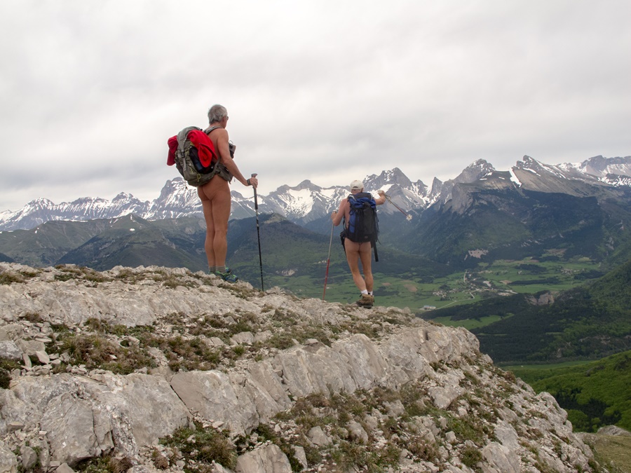
Sur le Roc Bernon, au sommet des rochers, la silhouette d’un chamois. De ce col, la Toussière, bien en vue, semble à portée, mais c’est sans compter un détour par une large combe qui nous mène vers les crêtes qui dominent le versant Diois. Puis en suivant l’arête, nous arrivons au pied du ressaut final de la Toussière. De loin, il paraît très raide, mais finalement se passe assez aisément, même pour Dominique sujet au vertige. Arrêt casse croûte rapide, car le vent s’est levé, froid. D’ailleurs le ciel s’est progressivement voilé puis carrément couvert. Dommage, car la vue est panoramique à 360° sur le Vercors, le Dévoluy, et dans les lointains trop grisâtres, la montagne de Lure, le mont Ventoux.
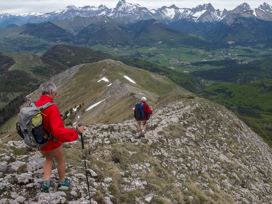
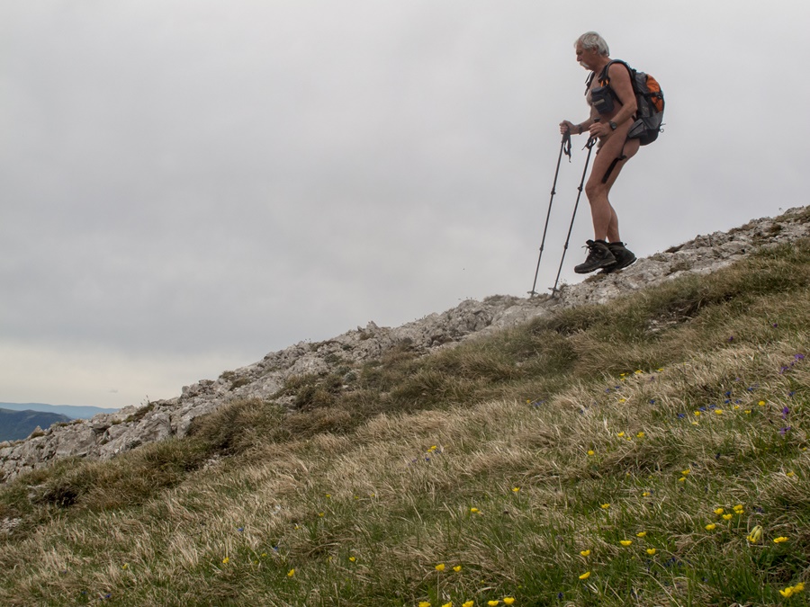
Vite, il faut repartir. Descente tout droit en suivant la crête rocheuse, puis la croupe herbeuse jusqu’à atteindre le torrent de l’Étroit et à retrouver une piste qui passant par les ruines, en reconstruction, de la commanderie des templiers, nous ramène au point de départ.
Two days after the Bachassons’ walk in the Vercors, it’s off again, same team, same motivation.
This time a little further south, slightly beyond the Col de la Croix Haute. Objective: the Toussière from the hamlet of Cairo.
Despite the pessimistic weather forecast, the sun is shining. After a few minutes’ walk, everyone is in their suits. The wide track passes between walls of rocks and then reaches a plateau. From there, the path leads us first of all to the pass of Roc Bernon. It starts very gently through meadows covered with yellow flowers and groves of trees with tender green foliage, then straightens up to finish with a good steep slope in a beech forest. During this ascent, we encountered, at the last moment, two young women coming down. It made them laugh!
On the Roc Bernon, at the top of the rocks, the silhouette of a chamois. From this pass, the Toussière, in full view, seems within reach, but it is without counting a detour through a wide combe that leads us towards the ridges that dominate the Diois slope. Then following the ridge, we arrive at the foot of the final step of the Toussière. From a distance, it seems very steep, but in the end it is quite easy, even for Dominique who is prone to vertigo. Quick stop for a quick snack, as the wind has risen, cold. Moreover the sky became progressively veiled and then overcast. Too bad, because the view is panoramic at 360° on the Vercors, the Dévoluy, and in the far too grayish, the mountain of Lure, the Mount Ventoux.
Quickly, we must go back. Straight down following the rocky ridge, then the grassy ridge until you reach the torrent of l’Étroit and find a track that goes through the ruins, under reconstruction, of the Templar commandery, brings you back to the starting point.
