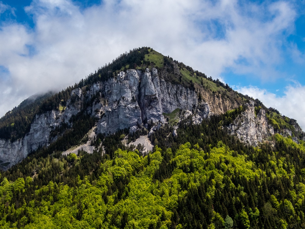
Depuis des années, chaque fois que j’empruntais cette route du col de Menée pour descendre dans le Diois, je regardais les crêtes de l’autre coté de la vallée, me disant qu’elles pouvaient être un bel objectif de balade. Pas de parcours tracé sur les cartes à part une piste forestière et un chemin, tous les deux à mi hauteur, parallèles mais sans rejoindre les sommets. Pourtant j’avais entendu dire que la rando était possible quoique hors sentier. C’est donc une sortie en mode exploration que j’ai proposé aux Marcheurs Nus du Val de Roanne pour ce début juin. Seul Christian a répondu. Habitant dans le coin, il a déjà parcouru les pistes forestières en vtt et exploré de nombreux chemins.
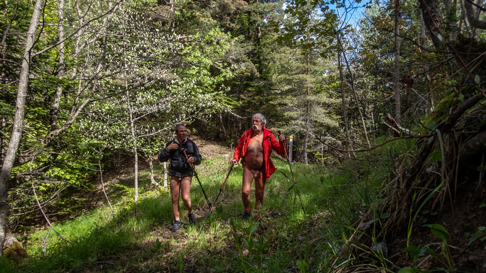
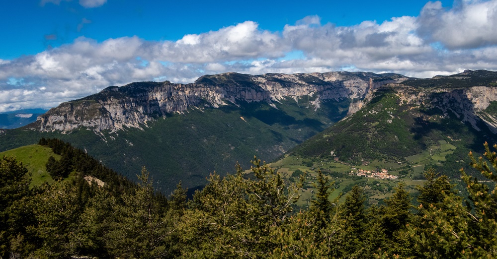
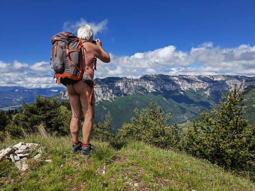
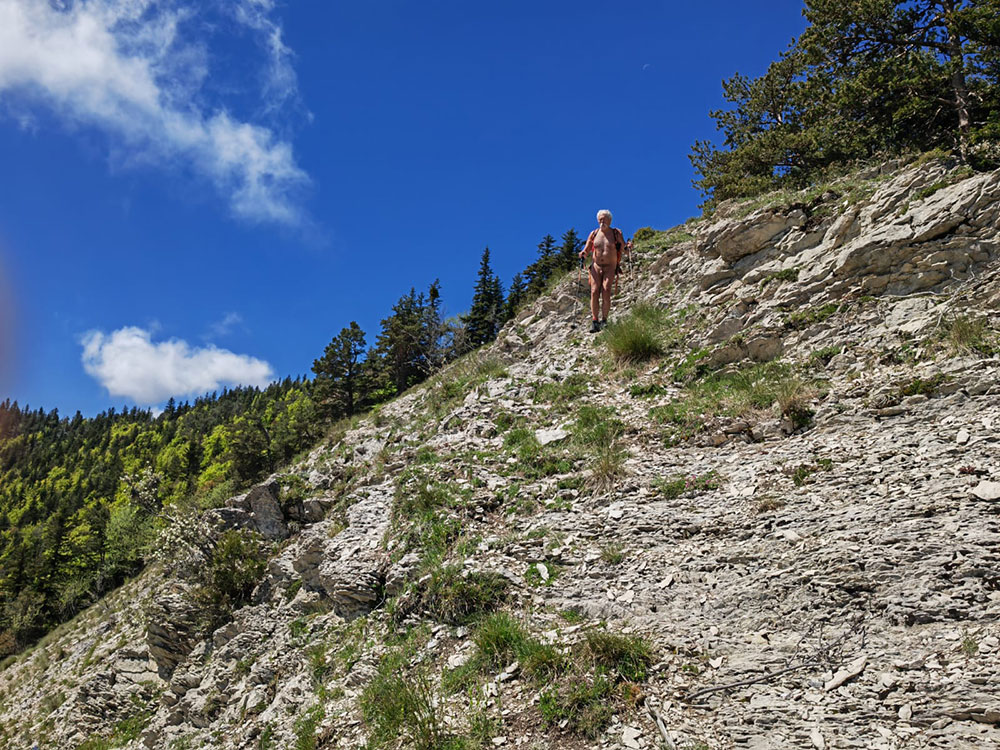
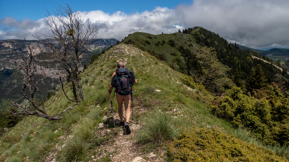
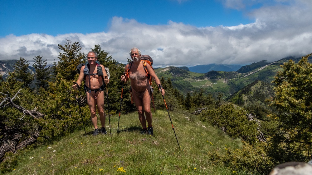
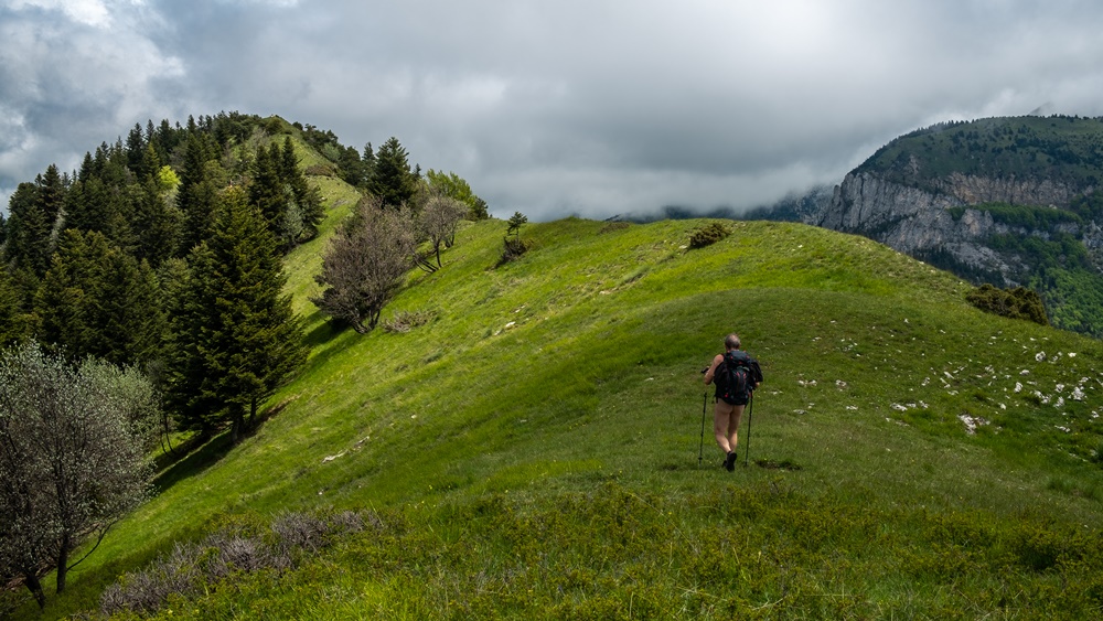
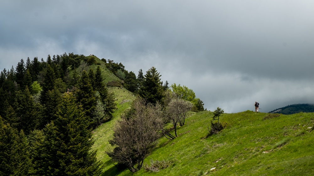
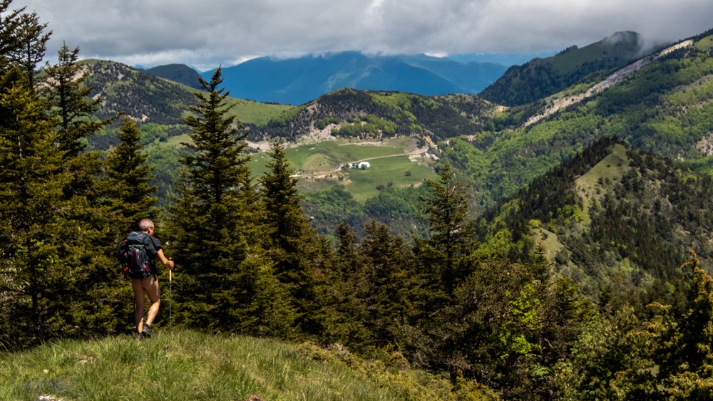
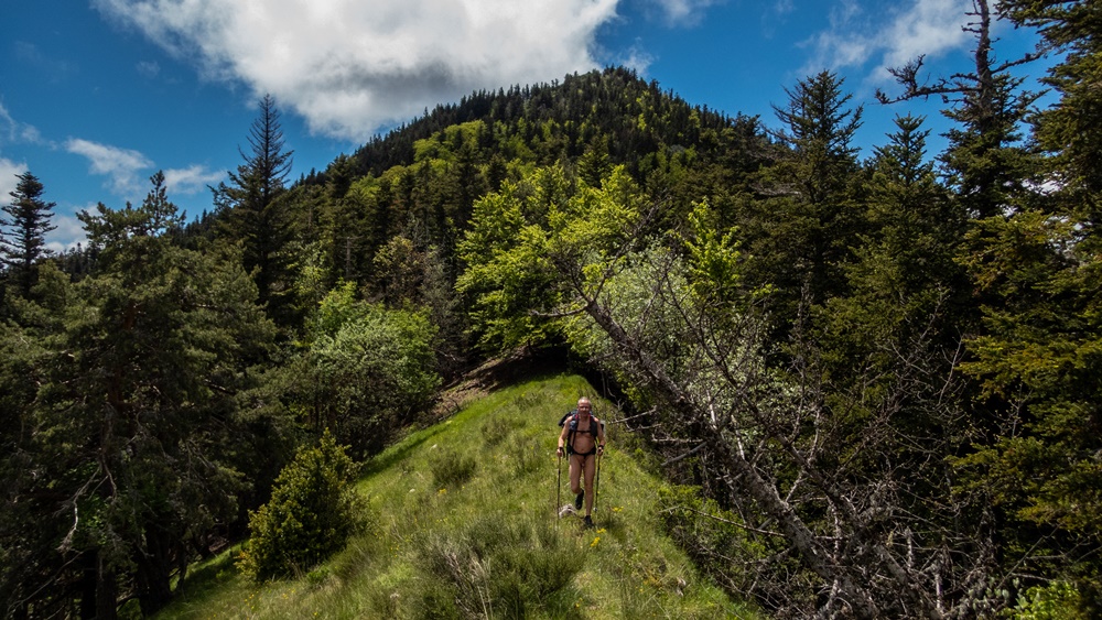
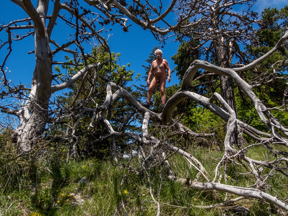
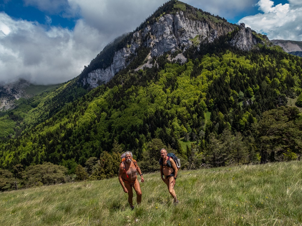
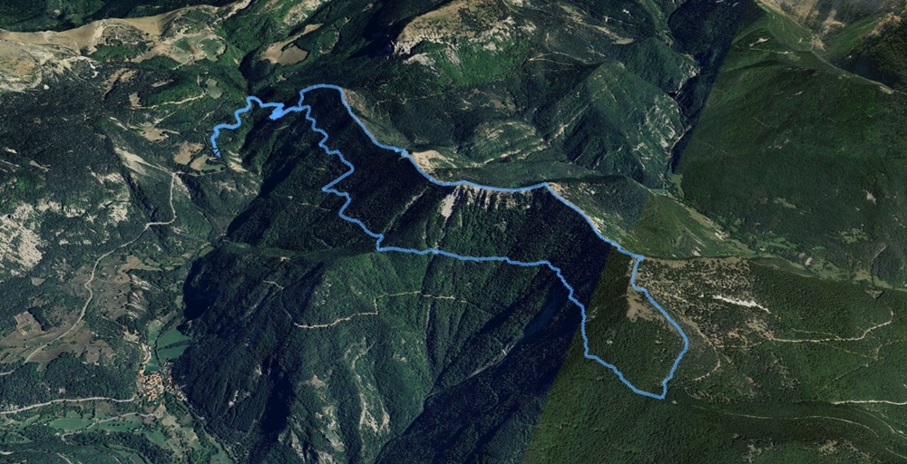
Le versant nord du col était dans le brouillard. Sur le petit parking au bord de la route (un endroit où j’ai dormi plusieurs fois lorsque j’avais mon camion) il fait 6° , le ciel est bien couvert et le vent souffle. Christian arrive tout de suite après moi. On est tous les deux en avance sur l’horaire prévu. En shorts, mais en chaudes polaires, il n’y a que la route à traverser pour entamer la balade. D’abord une large piste qui part en légère descente avant de remonter. On est presque assez échauffé pour quitter le bas. Puis un étroit sentier qui attaque droit dans la pente, un bon raidillon qui amène à une petite plateforme. On laisse sur la gauche le chemin par lequel on reviendra plus tard et on continue par ce cheminement qui s’étire à niveau, ou presque, longuement dans la forêt. Il est bien balisé, mais ne semble pas être très fréquenté. Quelques passages en dévers dans la terre glissante, un tronc d’arbre en travers du chemin…On avance à un bon rythme. On passe le col de Sambuc et on atteint le col du Rosier. Tout juste deux heures de marche. On quitte enfin le couvert de la forêt pour trouver du soleil. Vite la dernière couche rejoint les sacs. On s’élève par un chemin pierreux, puis droit dans la pente herbeuse jusqu’à une belle butte ouverte sur un panorama splendide : Tout le sud du Vercors : Glandasse, Tussac, Combeau. Pas de chemin ici, mais le parcours est évident, il suffit de suivre la ligne de crête. Enfin, ce qui peut sembler plat sur une carte ne l’est guère en réalité. Il faut sans cesse descendre en plongeant entre pentes herbeuses ou caillouteuses et bouts de forêts pour remonter de l’autre côté et atteindre la butte suivante. Les paysages se découvrent les uns après les autres : Vues sur les Sucettes de Bornes, le vallon de Combeau et ses Rochers, la montagne de Belle Motte. On ne s’ennuie pas et on avance à bonne allure. Un arrêt seulement pour manger dans un creux, un peu à l’abri du vent. Serre Chomille, puis Serre des Ramas et Tête du Sapet, Serre des Taillas jusqu’au Serre d’Aupillon. Là il nous faut descendre un peu au hasard dans la forêt, en gardant à l’esprit la ligne de crête, pour rejoindre le sentier du col de la Plainie. Il ne nous reste plus qu’à le suivre et à retrouver notre chemin du matin et rejoindre le parking. La route est vide, on peut même la traverser nus pour arriver aux voitures.
For years, every time I took this road from the Col de Menée down into the Diois, I’d look at the ridges on the other side of the valley, thinking they might make a nice target for a walk. There was no route marked on the maps, apart from a forest track and a path, both at mid-height, running parallel but not joining the summits. However, I’d heard it was possible to hike, albeit off-trail. So I suggested an exploratory outing to the Val de Roanne Naked Walkers at the beginning of June. Only Christian responded. Living in the area, he had already covered the forest trails on his mountain bike and explored numerous paths.
The north side of the pass was shrouded in fog. At the small roadside parking lot (a place where I slept several times when I had my truck) it was 6°C, overcast and windy. Christian arrives right after me. We’re both ahead of schedule. Wearing shorts but warm fleeces, there’s only the road to cross to start the walk. First a wide track that goes slightly downhill and then uphill. We’re almost warm enough to leave the bottom. Then a narrow path attacks the slope, a steep incline that leads to a small platform. We leave the path on the left, which we’ll come back to later, and continue along this path, which stretches out level, or almost level, for a long way through the forest. It’s well-marked, but doesn’t seem to be much used. A few overhanging sections in slippery earth, a tree trunk across the path… We make good progress. We pass the Col de Sambuc and reach the Col du Rosier. Just two hours of walking. We finally leave the forest cover to find some sunshine. The last layer quickly joins the bags. We climb up a stony path, then straight up the grassy slope to a beautiful butte opening onto a splendid panorama: the whole southern Vercors: Glandasse, Tussac, Combeau. There’s no path here, but the route is obvious: just follow the ridge line. What may look flat on a map is hardly so in reality. You have to keep descending, plunging between grassy or stony slopes and bits of forest to climb back up on the other side and reach the next butte. Landscape after landscape unfolds: views of the Sucettes de Bornes, the Combeau valley and its Rochers, the Belle Motte mountain. We’re not bored and we’re making good speed. We stop only to eat in a hollow, sheltered from the wind. Serre Chomille, then Serre des Ramas and Tête du Sapet, Serre des Taillas to Serre d’Aupillon. From here, we have to make our way down randomly through the forest, keeping the ridge line in mind, to reach the Col de la Plainie path. All we have to do is follow it back to our morning path and the parking lot. The road is empty, and we can even cross it naked to get to the cars.
