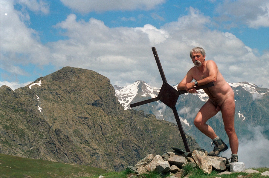
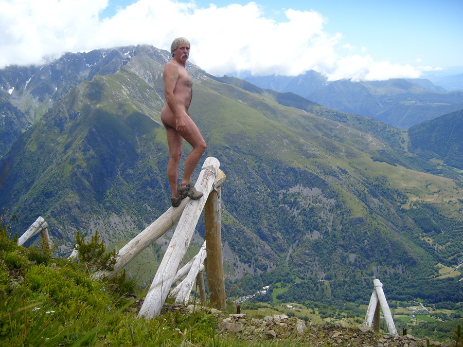
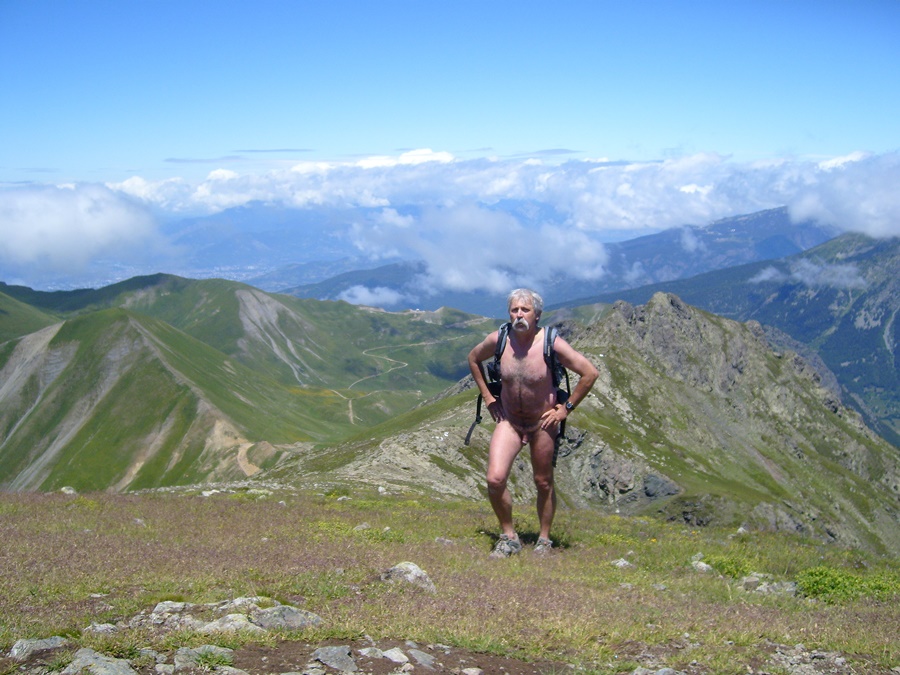
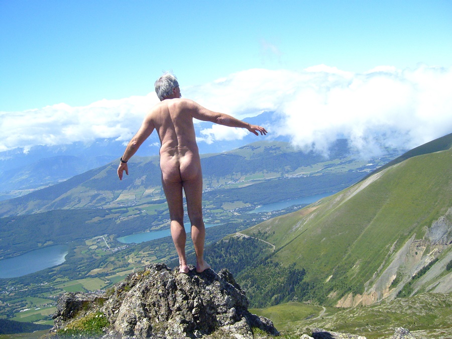
Début juillet. Vendredi, 10 heures du matin. Je gare la voiture au départ du chemin près du col de Malissol. 150 mètres pour m’éloigner de la route et je me déshabille. Je resterai nu jusqu’au retour à ce même endroit, près de six heures plus tard.
On est début juillet, donc déjà en période de vacances scolaires. Je craignais qu’il y ait du monde en randonnée. En fait je ne verrai personne de la journée. La montagne pour moi tout seul.
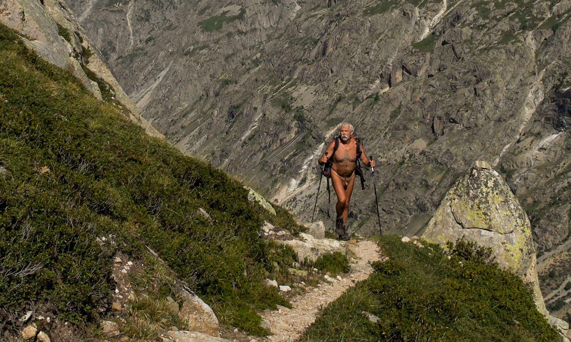
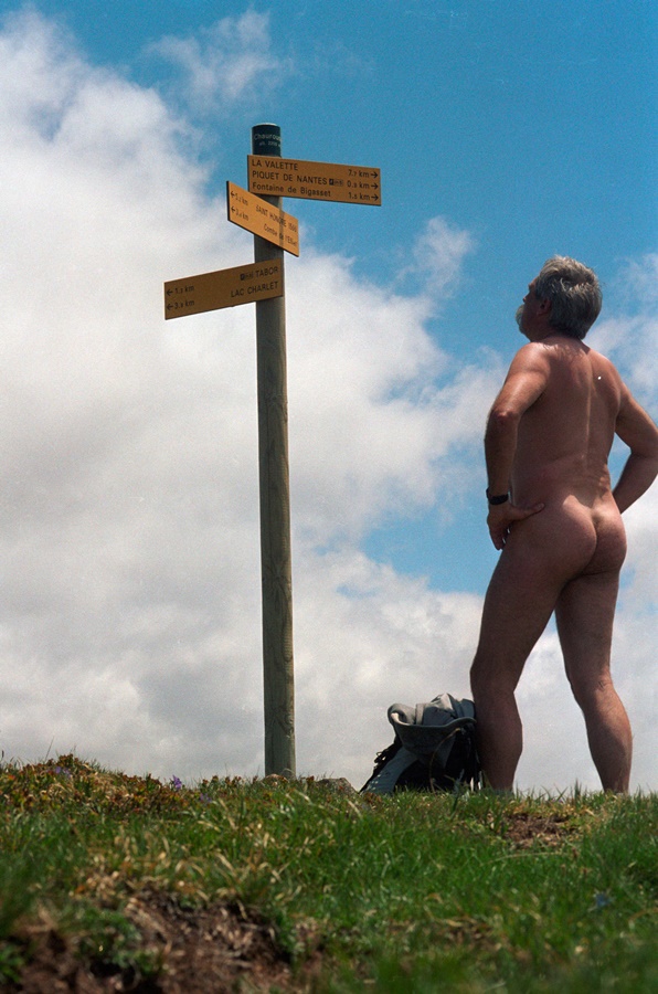
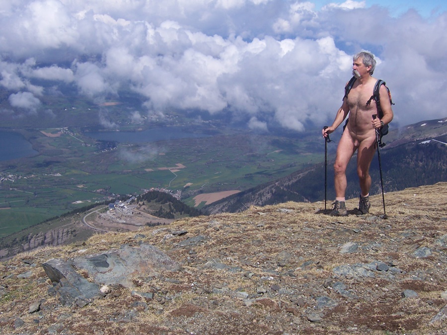
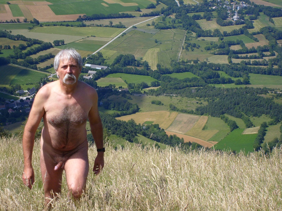
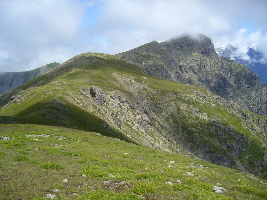
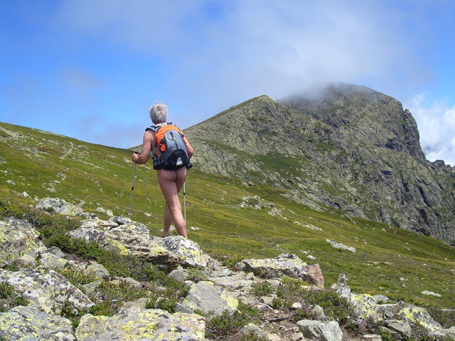
C’est un itinéraire de crête. Une ligne directe qui suit la limite des versants orientés vers le plateau de La Mure et des lacs de Laffrey à gauche en montant et vers la vallée de Lavaldens et les montagnes du Valbonnais sur la droite. Un parcours de 1200 mètres de dénivelé qui débute par un étroit sentier dans la forêt pour rejoindre un alpage d’herbe haute puis s’élève par deux bons raidillons jusqu’à la crête rocheuse qui s’étend du Piquet de Nantes au point culminant du Tabor à 2389 m d’altitude.
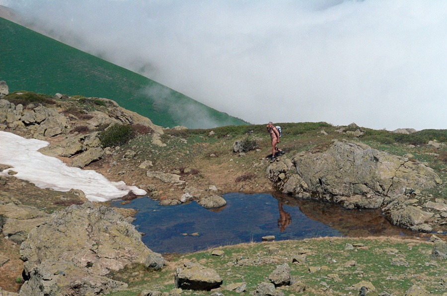
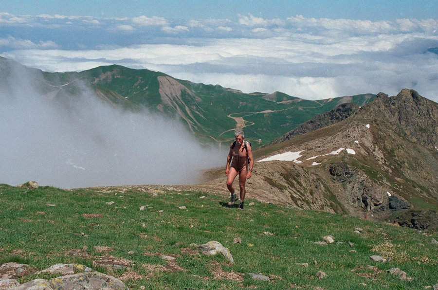
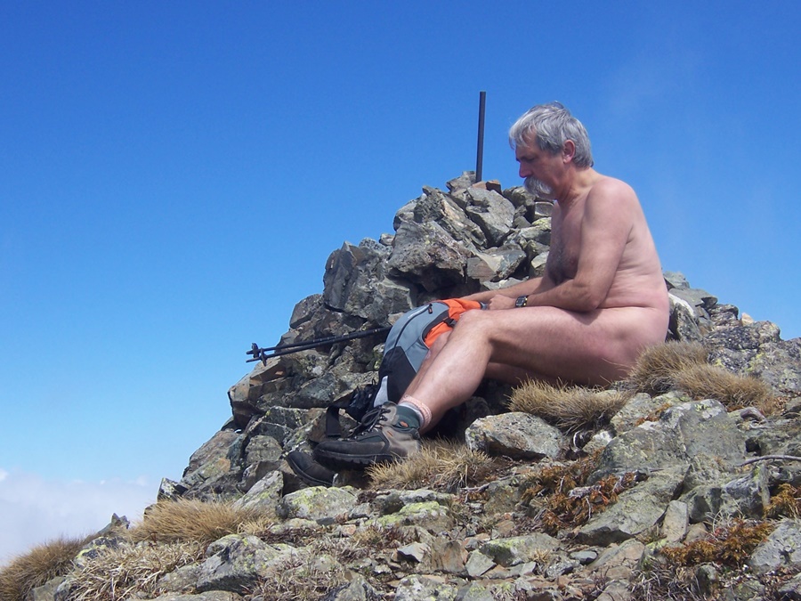
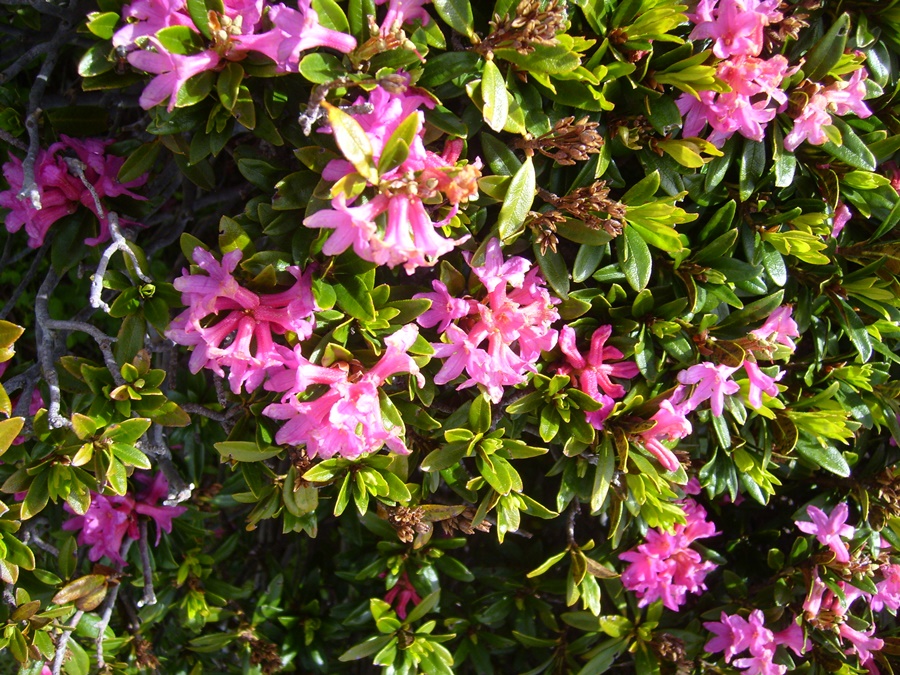
L’alpage est parsemé de couleurs et il reste même quelques touffes de rhododendrons en fleurs en haut. Le sommet, bien accroché par les nuages le matin, se dégage à mesure que le temps passe. Finalement j’arrive sur un sommet ensoleillé alors qu’au loin la barrière du Vercors ou l’Obiou restent enveloppés de nuages. J’ai décidément toutes les chances.
Le Tabor est aussi accessible depuis la station presque abandonnée de Saint Honoré 1500.
Early July. Friday, 10 a.m. I park the car at the start of the trail near the Malissol Pass. 150 meters to get away from the road and I undress. I’ll stay naked until I return to the same place almost six hours later.
It’s the beginning of July, so it’s already the school holiday period. I was afraid that there would be people hiking. In fact, I won’t see anyone all day. The mountain all to myself.
It’s a ridge route. A direct line that follows the limit of the slopes facing the plateau of La Mure and the lakes of Laffrey on the left while going up and towards the valley of Lavaldens and the mountains of Valbonnais on the right. A 1200-metre gradient which starts with a narrow path in the forest to reach a high grass mountain pasture and then rises by two good raidillons to the rocky ridge which stretches from the Piquet de Nantes to the highest point of Tabor at 2389 m altitude.
The mountain pasture is dotted with colours and there are even a few tufts of rhododendrons in bloom at the top. The summit, which is well hung by the clouds in the morning, clears up as time goes by. Finally I arrive on a sunny summit while in the distance the barrier of the Vercors or the Obiou remain shrouded in clouds. I definitely have every chance.
Tabor is also accessible from the almost abandoned resort of Saint Honoré 1500.
