Saint Eynard

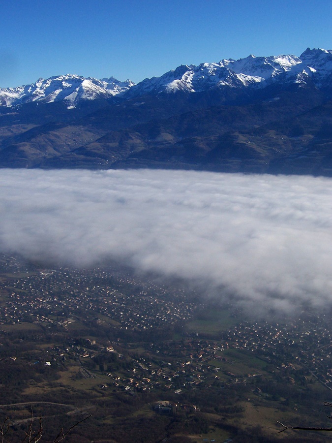
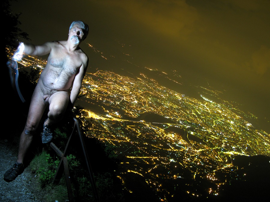
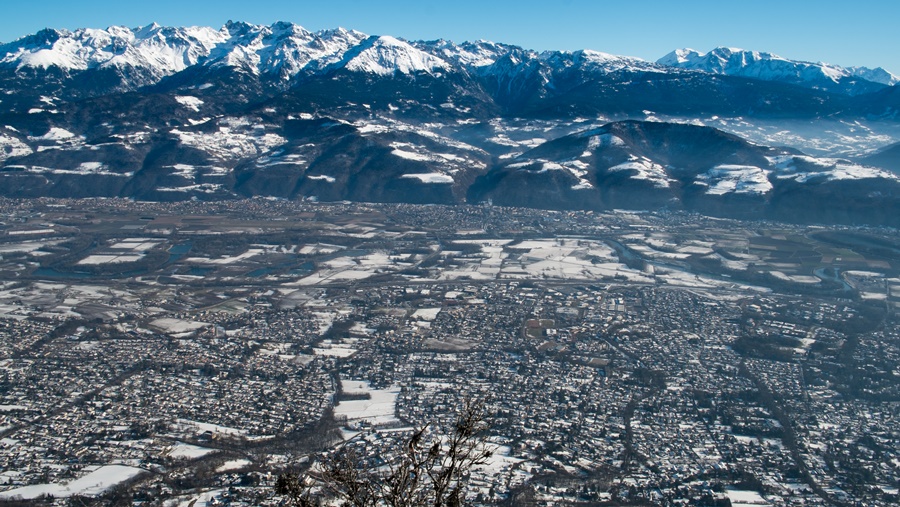
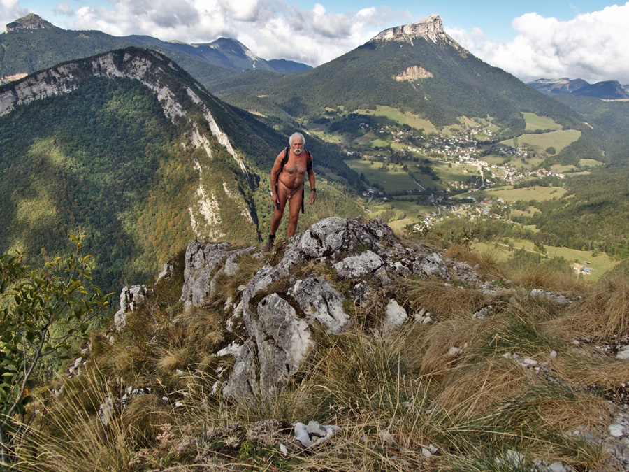
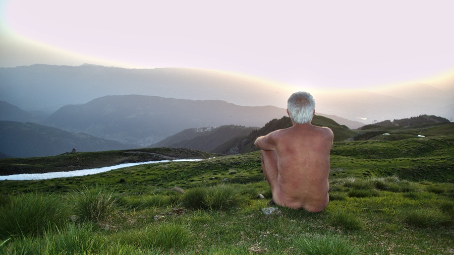
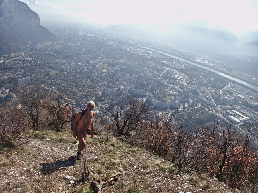
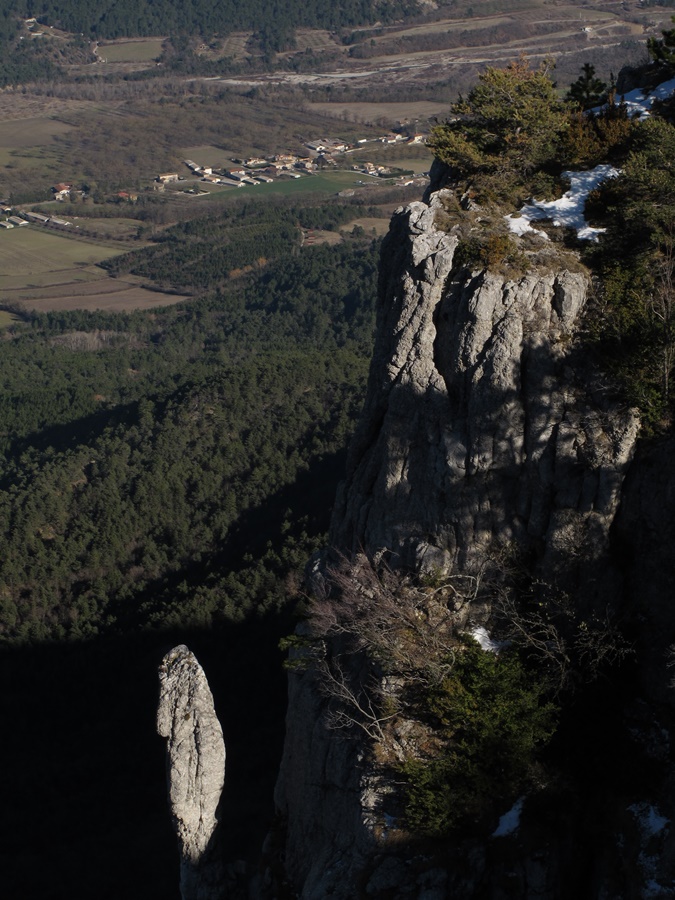
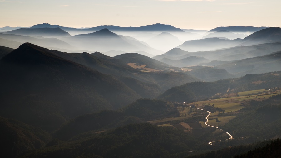
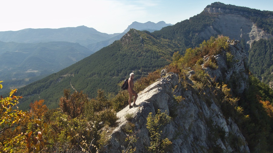
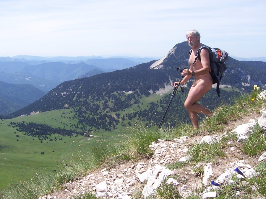
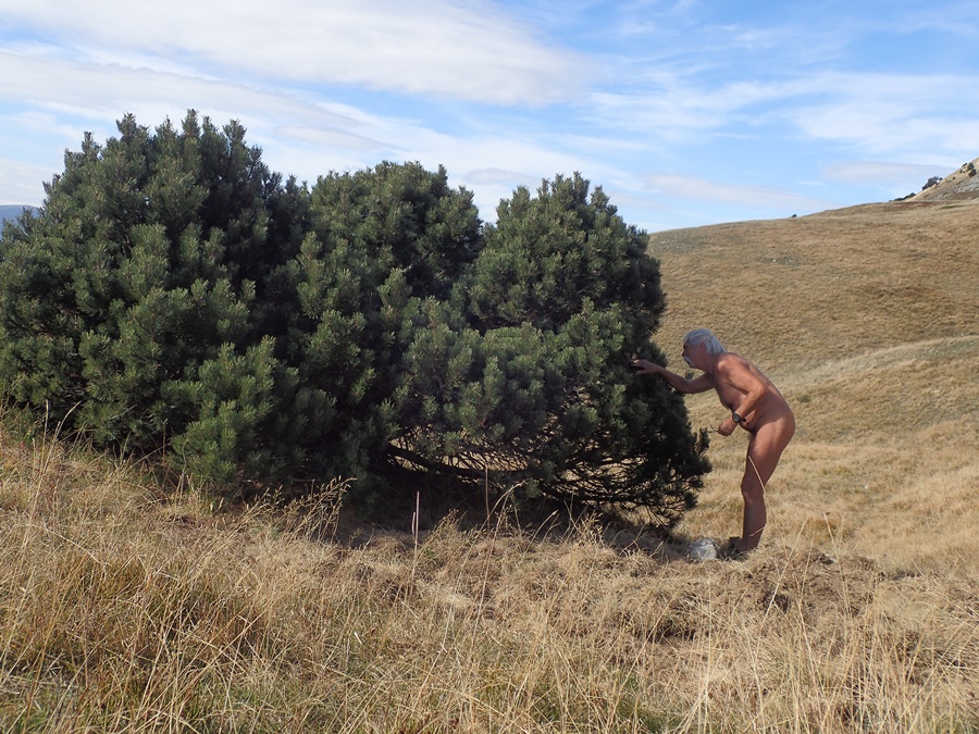
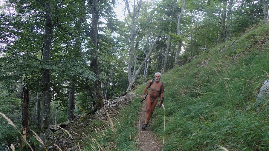
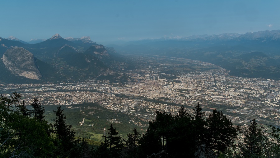
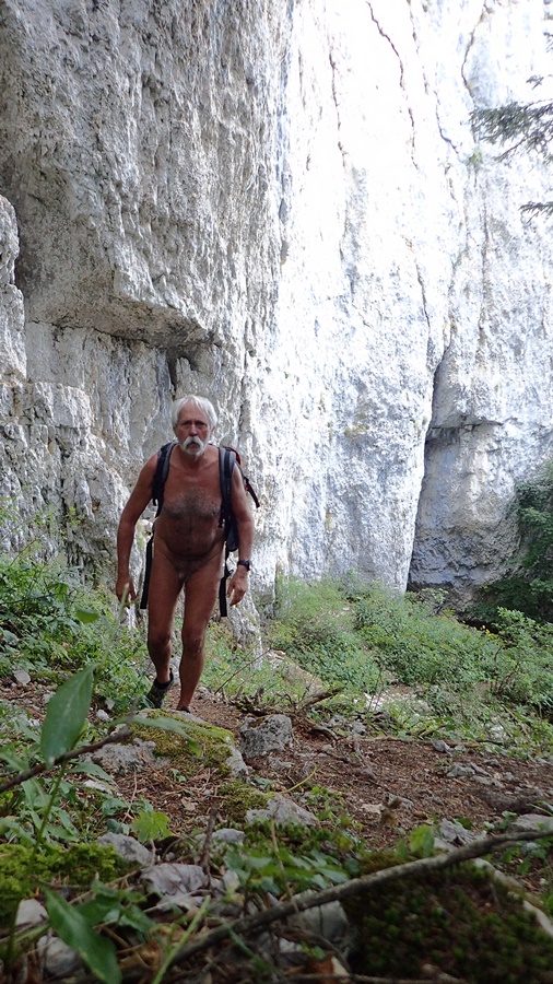
Le fort du Saint Eynard domine de mille mètres l’agglomération grenobloise. Il est visible comme un repère depuis toute la ville, accroché au dessus d’une ligne de falaises verticales. C’est l’un des plus beaux belvédères sur la région, d’autant plus qu’il est facilement accessible en voiture lorsque la route qui y mène n’est pas enneigée. A pieds, c’est aussi une balade très prisée en partant du col de Vence. Le chemin serpente dans la forêt jusqu’aux fortifications. En une heure, une heure et demie, on atteint le sommet, pour retrouver là tous les promeneurs montés en voiture. Parfois, c’est un peu exaspérant. Pour être tranquille, mieux vaut y aller l’hiver, on n’est sûr de n’y croiser alors que des gens montés eux aussi à pieds. Vraiment rares sont les moments où l’on peut s’y retrouver seul.
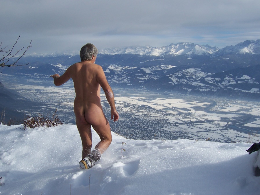
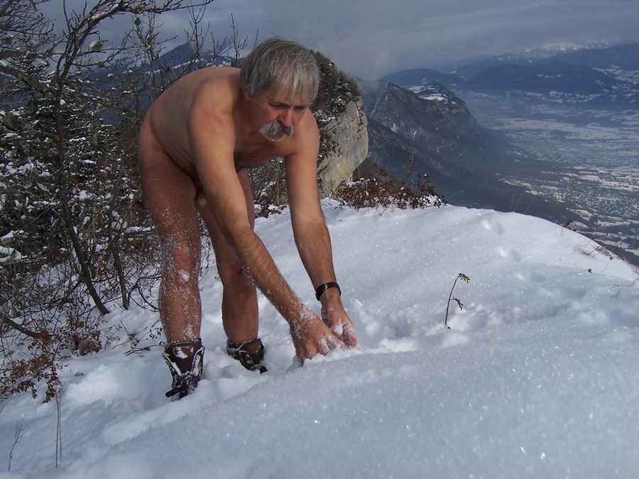
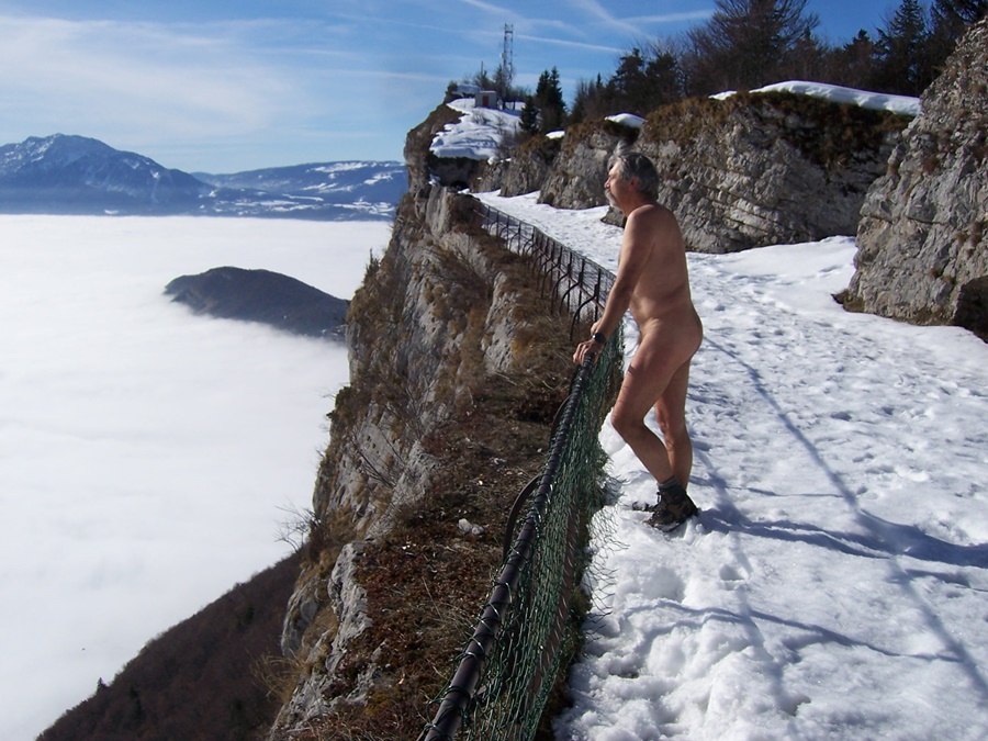
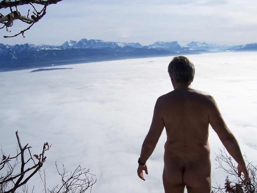
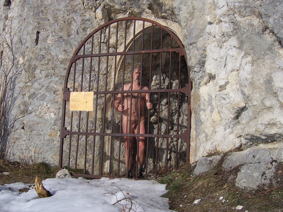
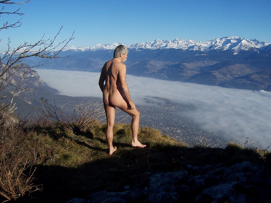
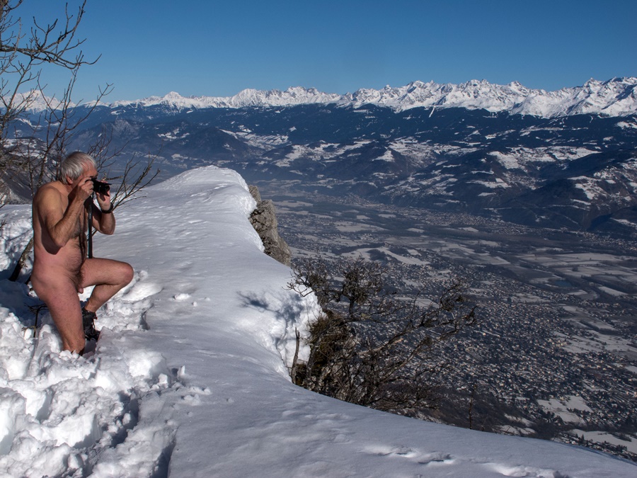
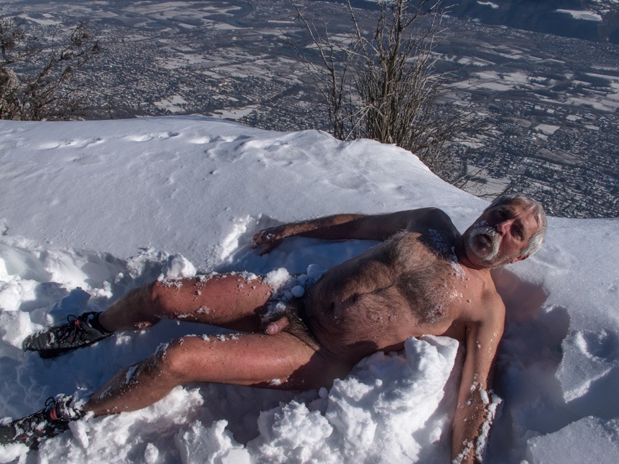
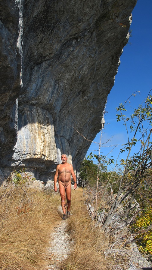
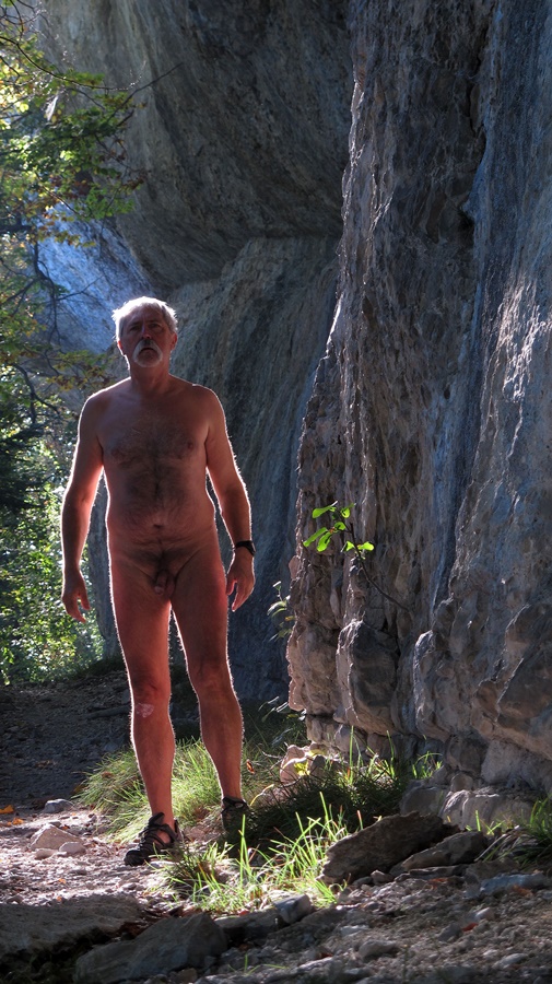
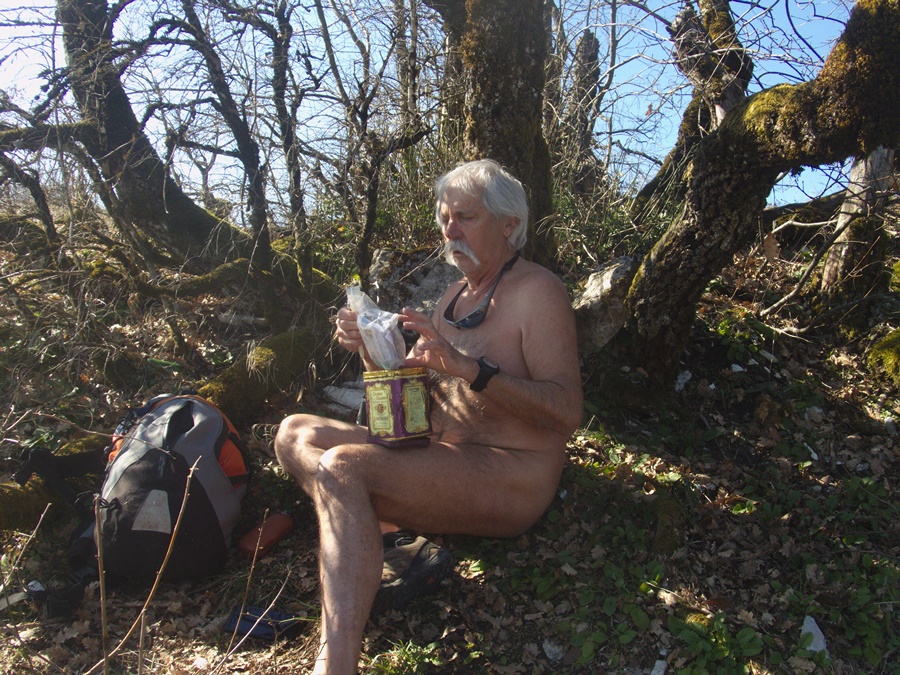
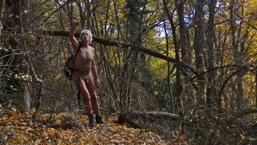
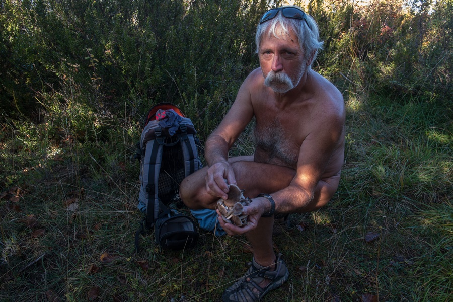
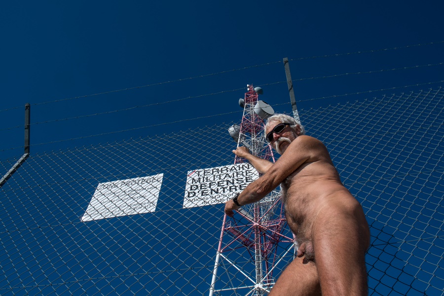
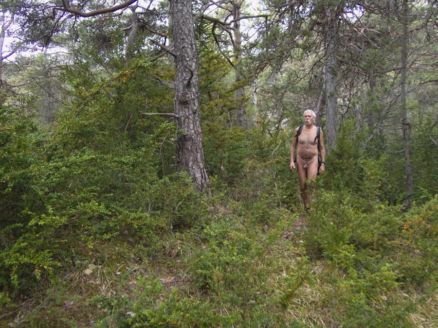
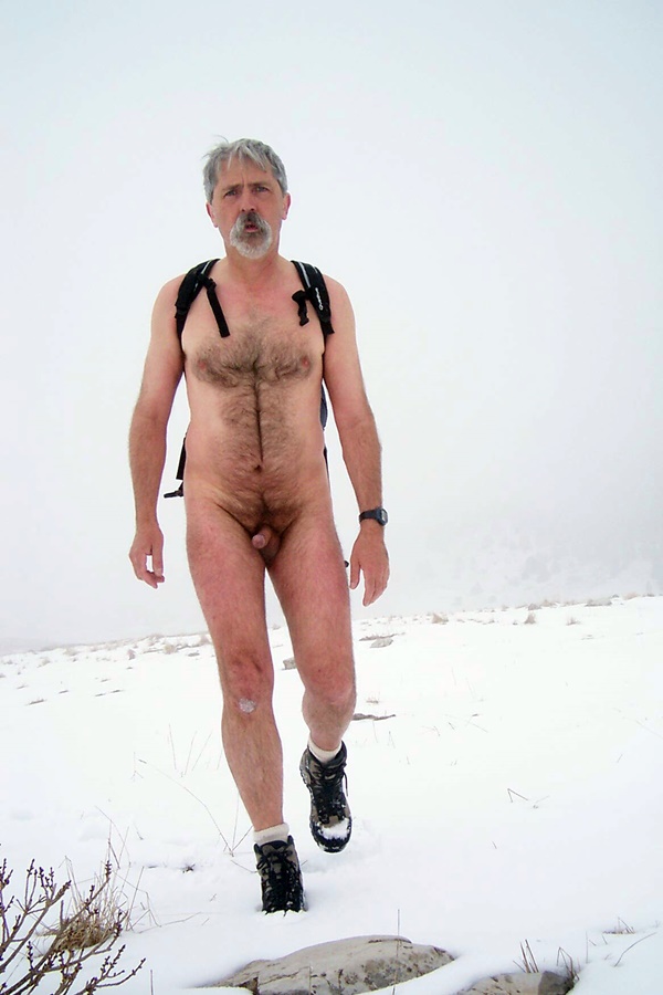
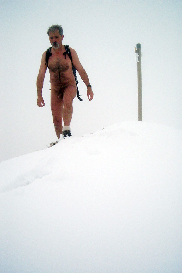
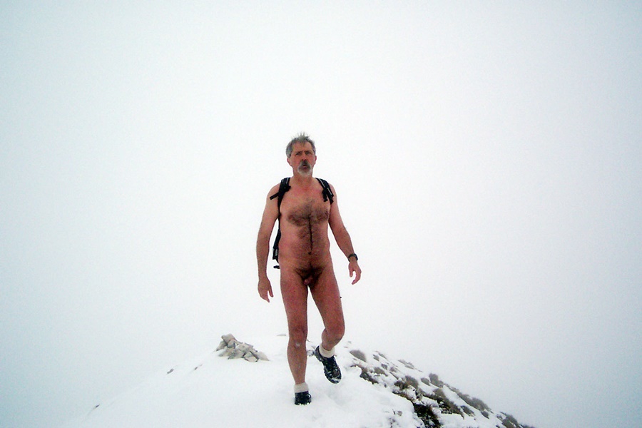
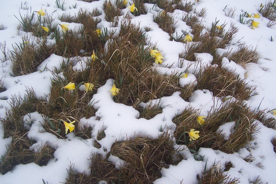
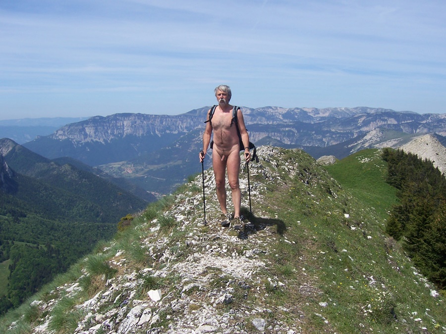
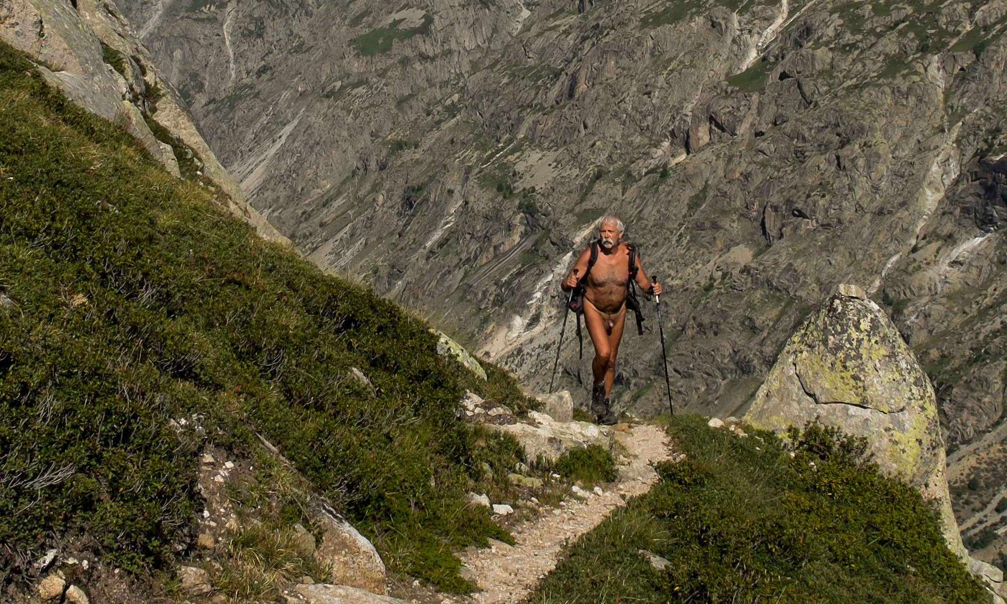
Cela m’est arrivé un jour de février 2006. Dans la vallée, il faisait un temps hivernal de nuages gris et bas. Au dessus du col de Vence, la forêt était toute givrée dans une atmosphère brouillardeuse. Puis à force de monter, je suis passé au dessus de la couche nuageuse, et là, un grand soleil et un ciel bleu. Au niveau du fort, pas la moindre présence. Au soleil, il faisait bon, je me suis déshabillé. Je me suis promené sur le GR qui longe les falaises, puis retour vers les fortifications que j’ai pu traversé nu et j’ai même pu entamer la descente jusqu’au moment de retrouver le brouillard. Là, j’ai vite dû me rhabiller.
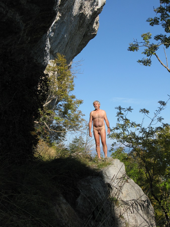
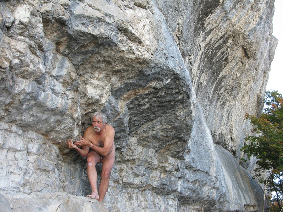
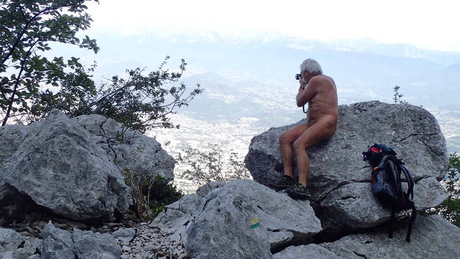
A une époque, j’avais découvert à l’écart du chemin qui longe la crête de falaises, un petit balcon accroché au dessus du vide. Juste un petit espace dégagé, isolé par une barrière d’arbre. J’y suis monté souvent, trouvant là un endroit idéal pour profiter du soleil en toute tranquillité, invisible, même si j’entendais parfois les conversations des passants sur le chemin à quelques mètres seulement.

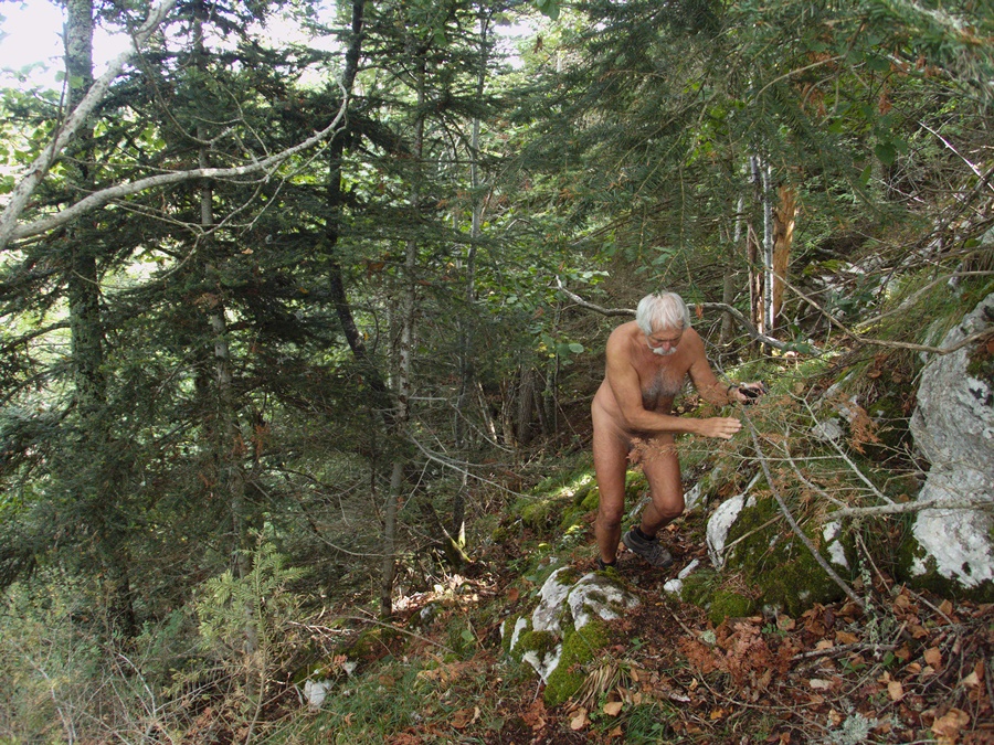
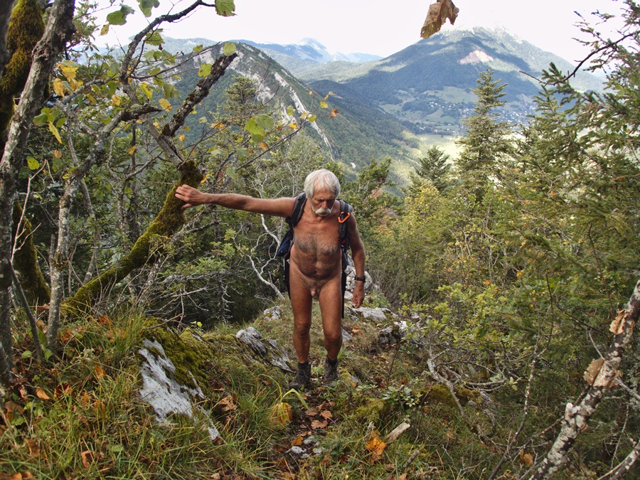
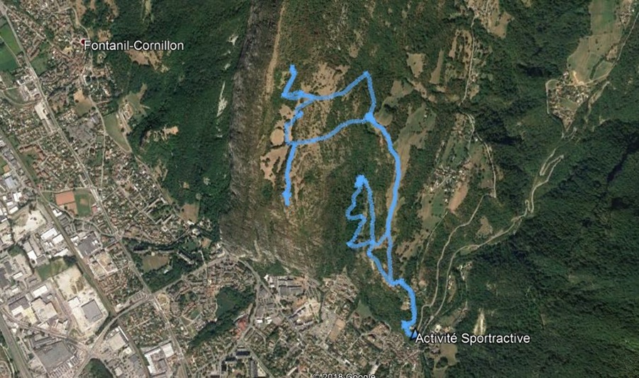
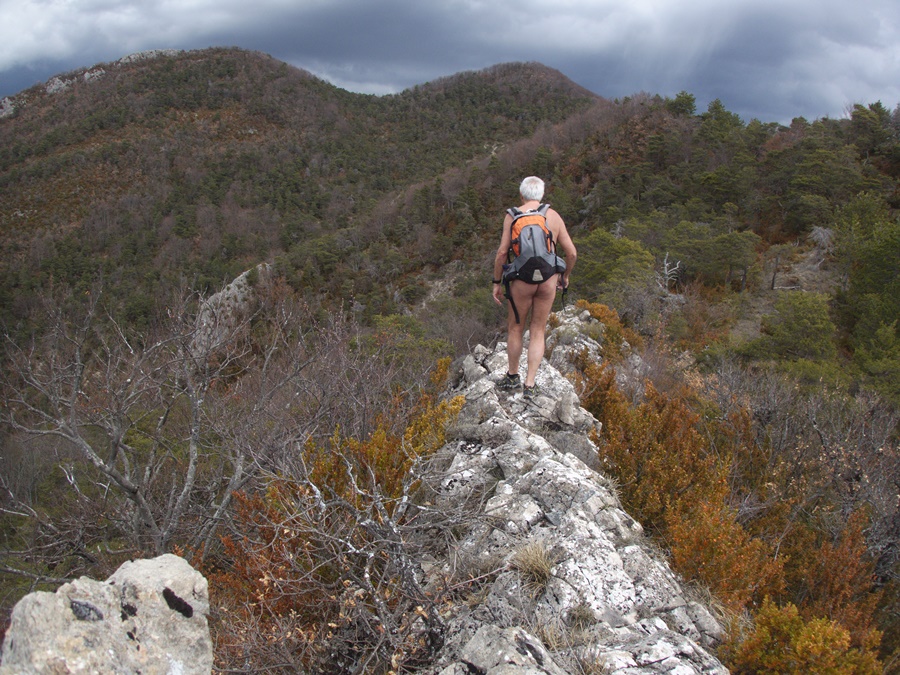
Récemment une recherche de geocaches m’a fait découvrir une autre façon de monter au Saint Eynard. Par l’autre versant. En empruntant un tout petit sentier qui grimpe raide dans la forêt en suivant la crête du Rochet du
Bret.

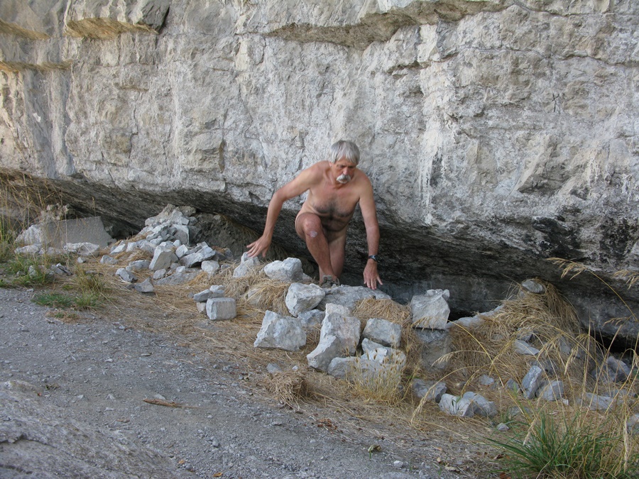
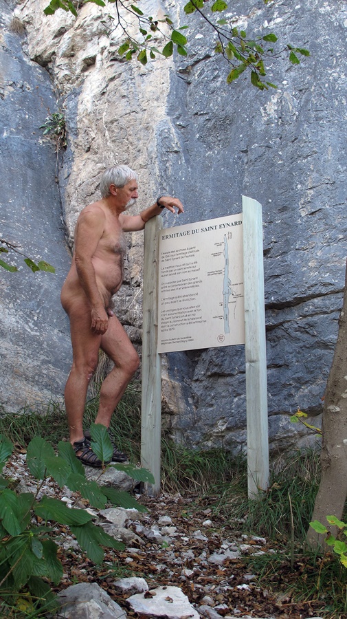
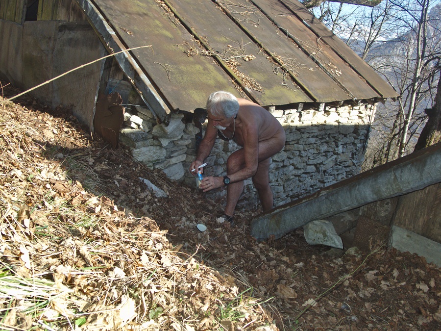
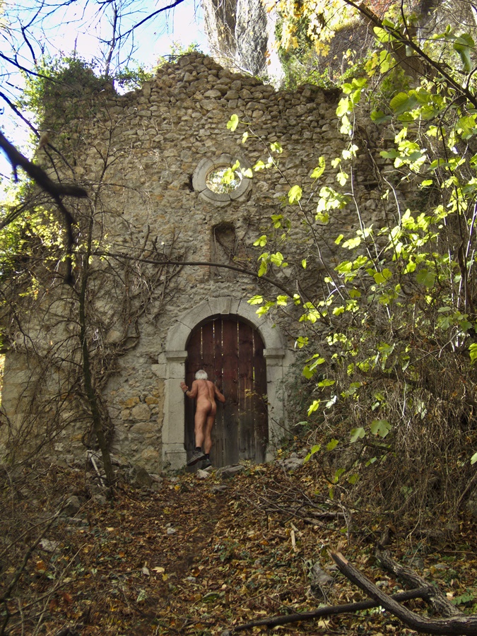
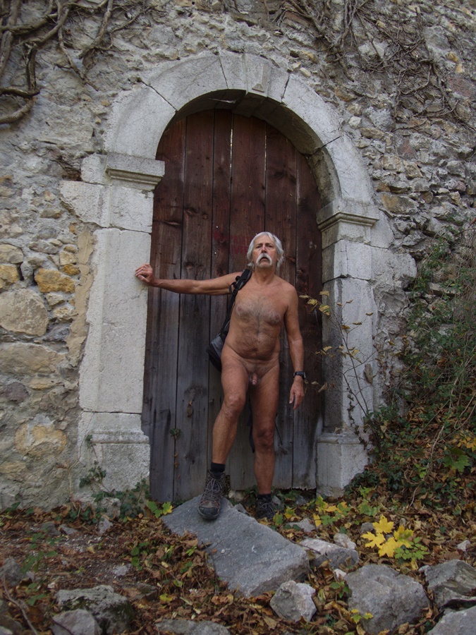
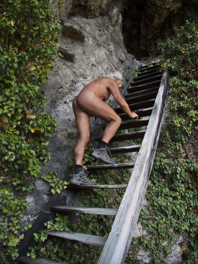
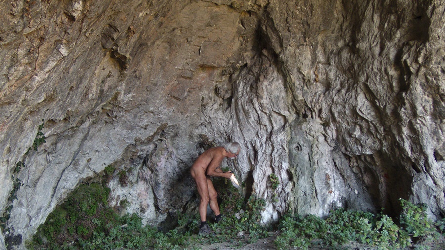
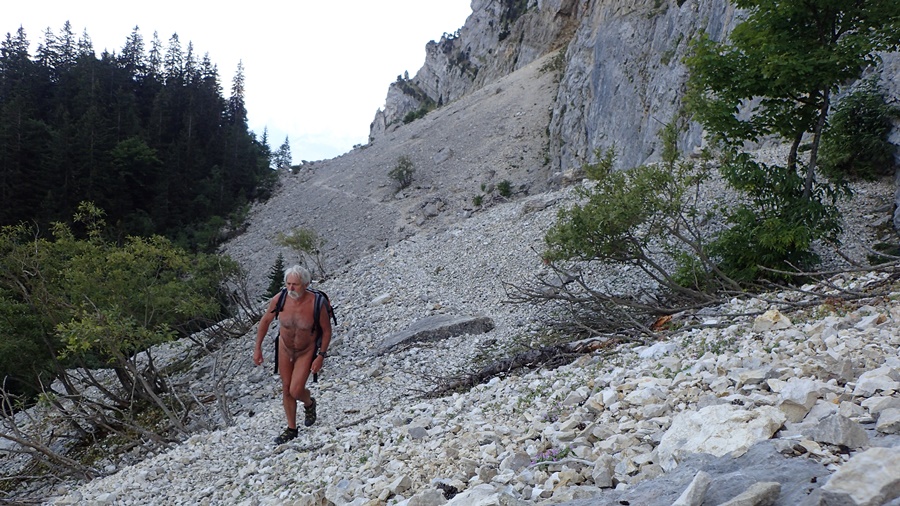
Le chemin du pas Guiget permettait par un passage équipé de câbles de franchir la falaise au-delà du Saint Eynard. Les câbles ont été démontés et le sentier est dorénavant interdit. Mais en suivant tout de même ce sentier et sans aller jusqu’au pas, on arrive aux restes de l’ermitage de Fayssia. De cet ermitage très ancien ne subsistent qu’un pan de mur et les vestiges des cellules encastrées sous la roche de la falaise.
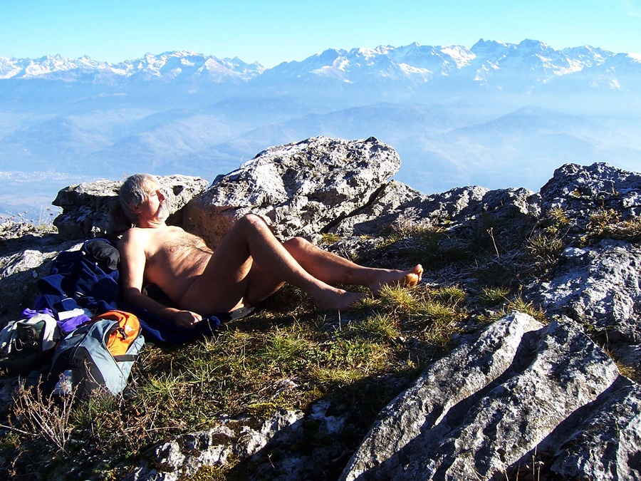
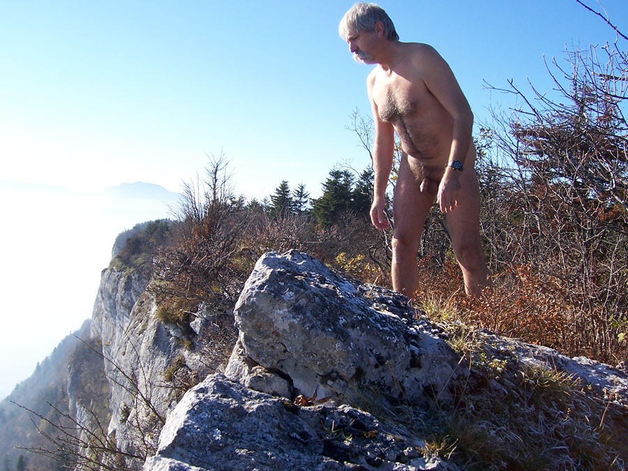
Un dimanche après midi d’automne. Le chemin du fort est fréquenté, mais celui de l’ermitage reste désert. Je profite du soleil sur cette terrasse devant l’ermitage. Il n’y a pas à dire, ces ermites savaient trouver des lieux idéaux. La falaise a emmagasiné la chaleur, l’herbe est tendre, la plateforme est orientée au sud et domine la vallée. Quelle tranquillité. Et puis, je reviens nu pratiquement jusqu’à l’intersection du chemin du fort.


The Saint Eynard fort dominates the Grenoble conurbation by a thousand metres. It is visible as a landmark from all over the city, hanging over a line of vertical cliffs. It is one of the most beautiful viewpoints in the region, especially as it is easily accessible by car when the road leading to it is not snowed in. On foot, it is also a very popular walk from the Col de Vence. The path winds through the forest to the fortifications. In an hour, an hour and a half, one reaches the summit, to find there all the walkers mounted by car. Sometimes it is a bit exasperating. To be quiet, it’s better to go there in winter, you are sure to meet only people who have also gone up on foot. Really rare are the moments when one can meet there alone.
It happened to me one day in February 2006. In the valley, it was winter weather with low, grey clouds. Above the Col de Vence, the forest was all frosty in a foggy atmosphere. Then, as I climbed up, I passed over the cloud layer, and there was a big sun and a blue sky. At the level of the fort, not a single presence. In the sunshine, it was nice and warm, so I took off my clothes. I walked on the GR that runs along the cliffs, then back to the fortifications that I could cross naked and I could even start the descent until I found the fog again. There, I quickly had to get dressed.
At one time, I had discovered, off the path along the cliff ridge, a small balcony hanging over the void. Just a small open space, isolated by a tree fence. I went up there often, finding an ideal place to enjoy the sun in complete tranquility, invisible, even if I could sometimes hear the conversations of passers-by on the path just a few meters away.

Recently a search for geocaches made me discover another way to go up to Saint Eynard. By the other side. By taking a very small path that climbs steeply in the forest following the crest of the Rochet du Bret.

The path of Pas Guiget allowed by a passage equipped with cables to cross the cliff beyond the Saint Eynard. The cables have been dismantled and the path is now forbidden. But by following this path and without going to the step, one arrives at the remains of the hermitage of Fayssia. Of this very old hermitage only a section of wall and the remains of the cells embedded under the rock of the cliff remain.
A Sunday afternoon in autumn. The trail to the fort is busy, but that of the hermitage remains deserted. I enjoy the sun on this terrace in front of the hermitage. There is no need to say, these hermits knew how to find ideal places. The cliff has stored the heat, the grass is soft, the platform is south facing and dominates the valley. What tranquility. And then, I come back naked practically to the intersection of the fort path.
Collet d’Allevard

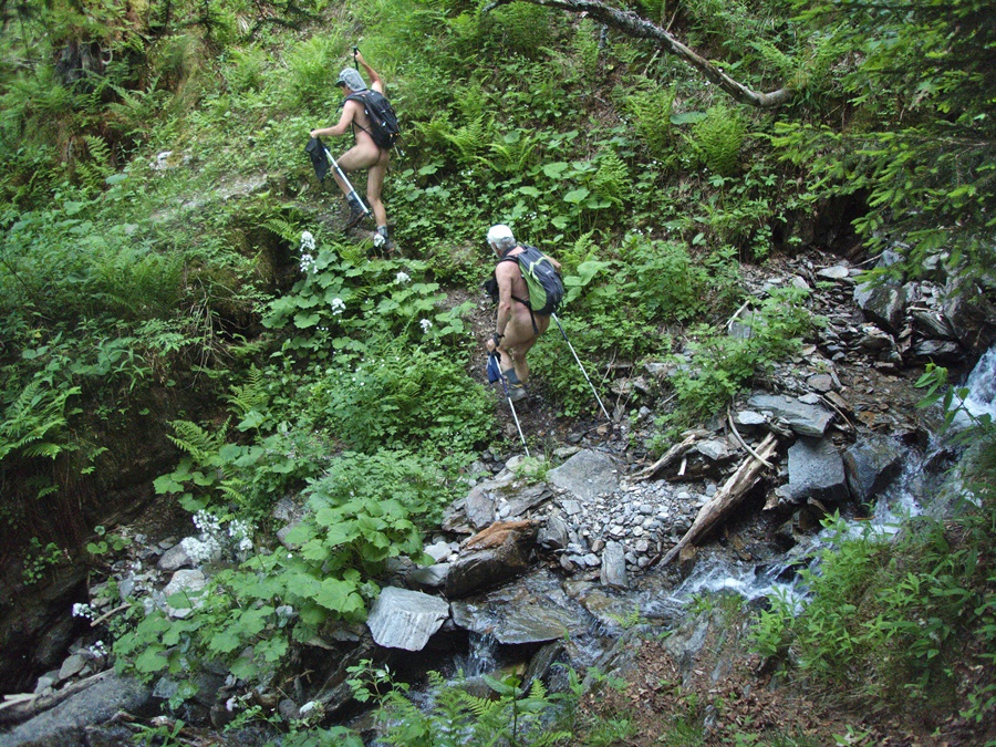
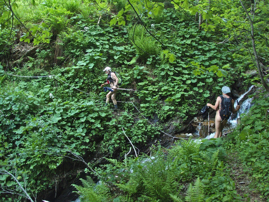
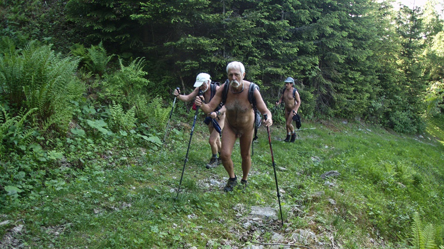
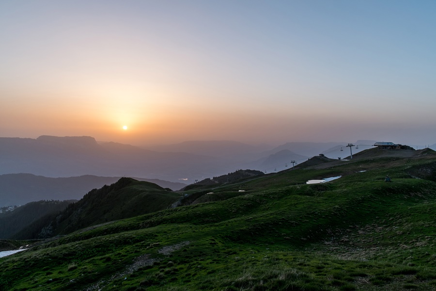
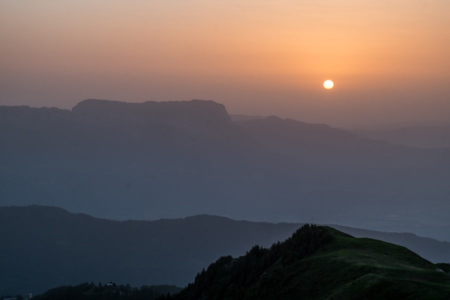
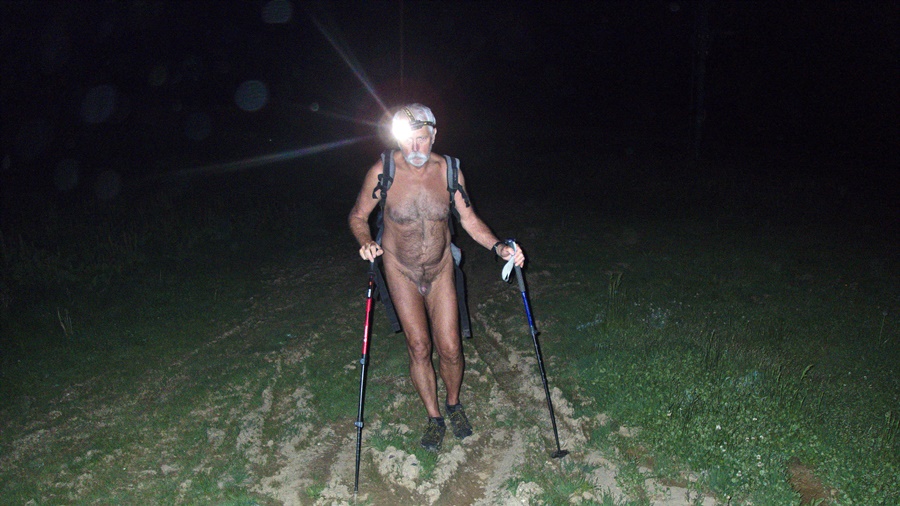
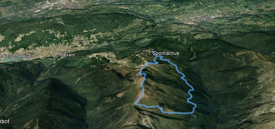
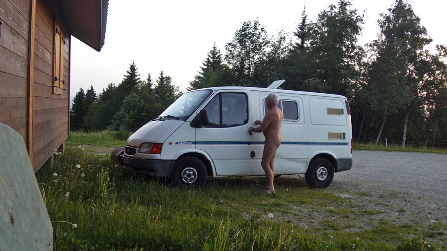
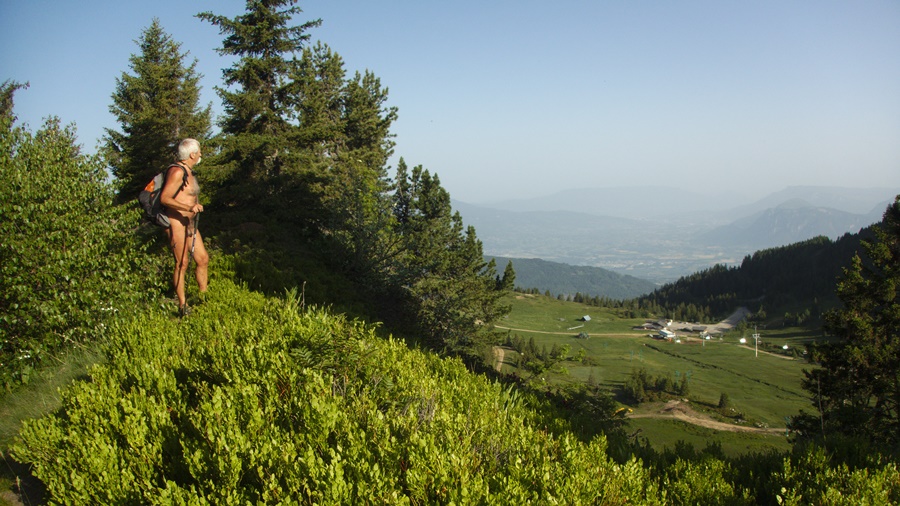
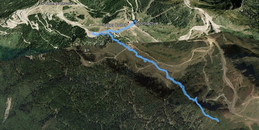
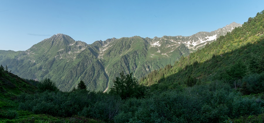
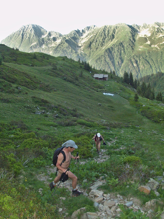
Canicule. Une envie d’échapper au four des vallée aux températures si chaudes en montant en montagne pour trouver un air relativement plus frais. Je saute sur la proposition de Bruno d’une rando crépusculaire au départ de la station du Super Collet au dessus d’Allevard dans Belledonne. Guillaume est aussi de la partie. Nous nous garons sur le petit parking de Pré Rond. Nous sommes seuls et nous pouvons partir nus. Il est 18 heures. Une petite montée puis une grande descente pour rejoindre un large piste forestière. Dans la forêt le sol est spongieux, le chemin parsemé de flaques d’eau. Sur ce versant nord, lé végétation est exubérante de larges et hautes plantes, de fougères, de sapins. De nombreux ruisselets traverse le chemin. Mais avantage, on est à l’ombre ! Puis on attaque la montée vers le refuge de Claran, désert. On casse la croûte devant mais les mouches se font envahissantes. On repart pour le col de Claran. Un névé reste au bord du chemin. La lumière descend. On continue la grimpette jusqu’au Plagnes, au sommet des remontées mécaniques du domaine skiable du Collet d’Allevard. Spectacle du coucher du soleil derrière le mont Granier et la Chartreuse. Par les pistes on rejoint le col de l’Occiput d’où plonge un petit sentier qui va nous ramener à notre parking. Il dégringole raide dans la pente. L’obscurité se fait complète . C’est à la frontale que l’on finit la descente, plus longue que l’on ne pensait. Il est 22 heures 40 quand on arrive, après 12 kilomètres et 800 m de dénivelé.

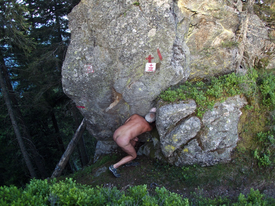
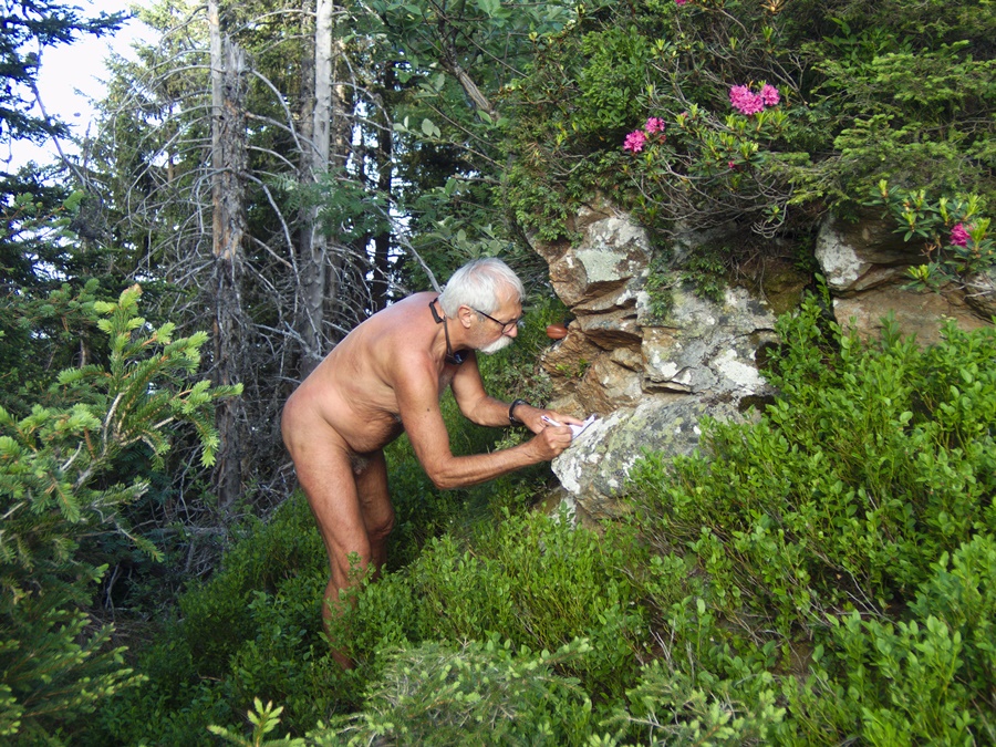
Bruno et Guillaume repartent aussitôt. Je passe la nuit au frais dans mon fourgon. Tôt le matin, je rejoins le parking de Super Collet. Là, en short et tee shirt, je pars pour une séance de geocaching. Je trouve la première cache à proximité près d’une remontée mécanique, puis je rentre dans la forêt par le sentier de la crête de l’Évêque. Je me déshabille aussitôt pour suivre ce parcours ombragé où je trouve encore quatre caches. Demi tour et retour au parking. Mais aussitôt dans le fourgon, je me déshabille et conduis nu jusqu’au premières maisons de la ville d’Allevard dans la vallée.


Heat wave. A desire to escape the oven of the valleys with their hot temperatures by going up to the mountains to find relatively cooler air. I jump on Bruno’s proposal for a twilight hike from the Super Collet station above Allevard in Belledonne. Guillaume is also part of the team. We park on the small parking lot of Pré Rond. We are alone and we can leave naked. It’s 6:00 p. m. A small ascent then a big descent to reach a wide forest track. In the forest the soil is spongy, the path is dotted with puddles of water. On this northern slope, the vegetation is exuberant with large and tall plants, ferns and firs. Many streams cross the path. But advantage, we’re in the shade! Then we start the climb to the Claran refuge, deserted. We have a snack in front of it, but the flies are getting invasive. We’re going to the col de Claran. A neve remains by the side of the road. The light is coming down. We continue the climb to Le Plagnes, at the top of the ski lifts of the Collet d’Allevard ski area. Sunset show behind Mount Granier and the Chartreuse. By the tracks we reach the Col de l’Occiput from where we will plunge a small path that will take us back to our car park. He’s falling steeply down the slope. The darkness becomes complete. It is at the frontal light that we finish the descent, longer than we thought. It is 10:40 p.m. when we arrive, after 12 kilometres and 800 m of altitude difference.
Bruno and Guillaume left immediately. I spend the night in my van in a cool place. Early in the morning, I go to the Super Collet parking lot. Now, in shorts and t-shirt, I’m going for a geocaching session. I find the first cache near a ski lift, then I enter the forest by the path of the Bishop’s Ridge. I immediately undress to follow this shaded path where I find four more caches. Turn around and return to the parking lot. But immediately in the van, I undressed and drove naked to the first houses in the valley in the town of Allevard.

Geocaching à Proveysieux

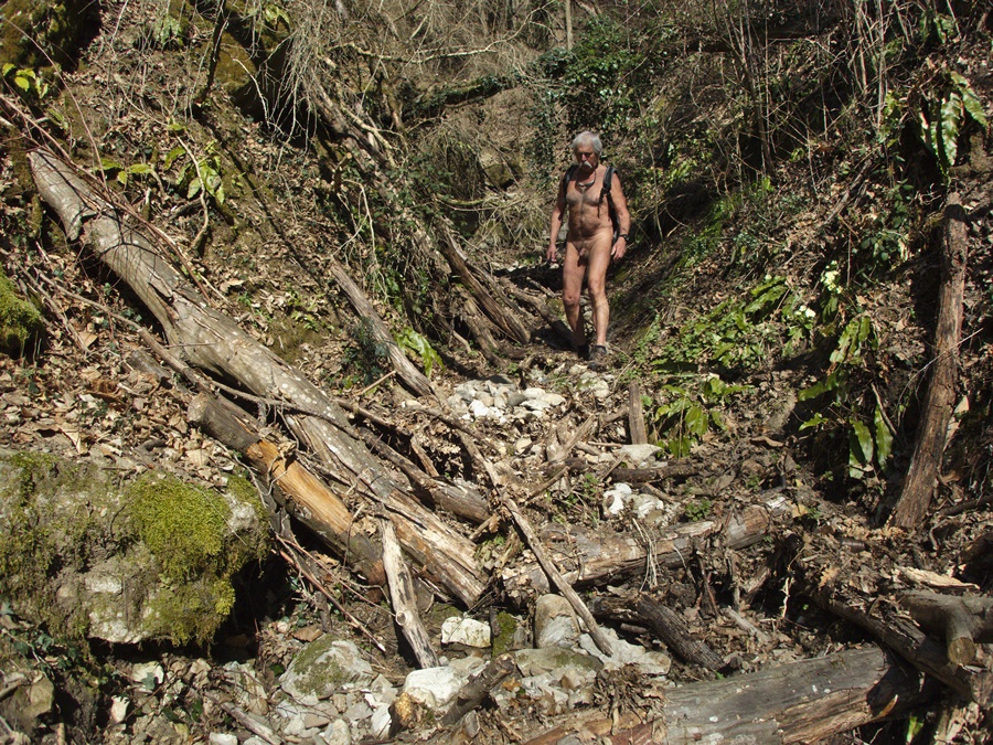
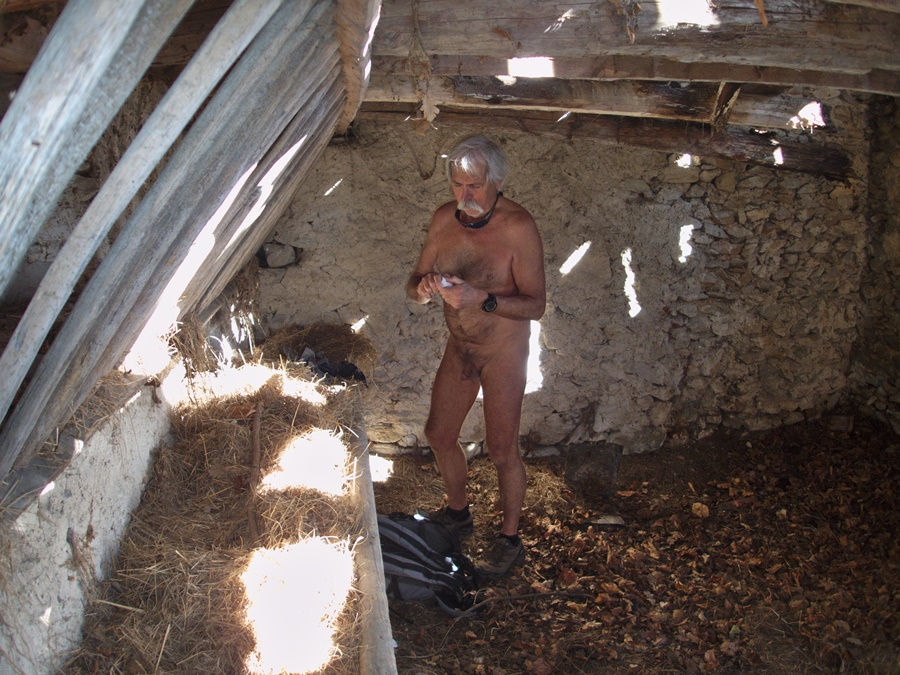
Voilà bien longtemps que je n’ai pas fait de géocaching. En cette fin février presque estival au niveau des températures, pourquoi ne pas partir chercher quelques caches dans le coin. Je me gare à la sortie de Saint Egrève sur la route de Proveysieux. Je traverse le hameau de Bellevue et m’engage sur un étroit sentier. Les bruits de la ville montent jusqu’ici, mais j’ai l’impression que ce chemin n’est guère fréquenté. Je me déshabille. Je descend vers un torrent à sec au fond d’un vallon. Puis la trace disparaît. Demi tour, mais je ne retrouve même pas le passage dans cette végétation. Je me retrouve dans le lit du torrent mais plus bas que prévu. Je tente de grimper droit pour rejoindre le sentier, au sécateur j’essaie de me frayer un chemin dans les ronces, mais la terre s’éboule sous mes pieds et je dois tenter une autre variante. Enfin, après bien des efforts je retrouve le chemin que je remonte. Bon, je vais plutôt rattraper un chemin mieux tracé. Je monte à travers un beau champ jusqu’à une piste presque carrossable qui passe devant la grange du Pissou. Tiens, voilà ma première cache de trouvée! Je continue vers le belvédère du Scialet. Vite mon short pour croiser une puis trois personnes. Au belvédère, je suis seul et trouve ma seconde cache. La ville de Saint Egrève est juste en dessous de moi, un peu dans la brume. Je décide de continuer à monter. J’évite une personne en renfilant mon short et en coupant droit dans un champs. J’arrive à une grange, mais ce n’est pas la bonne. Encore un effort. Au bord du chemin, une ancienne fontaine creusée dans la pierre. Quelques gouttes d’eau coulent encore, mais pas assez pour un bain. Enfin, les granges du Brulin. Troisième cache vite trouvée. Il ne me reste plus qu’à redescendre. En arrivant vers le Pissou, je me rhabille. J’ai bien fait, je croise encore quatre personnes et un vététiste. Décidement, c’est un coin fréquenté !


It’s been a long time since I’ve done geocaching. At the end of February, almost summertime in terms of temperatures, why not go and look for some caches in the area. I park at the exit of Saint Egrève on the road to Proveysieux. I cross the hamlet of Bellevue and take a narrow path. The sounds of the city come up here, but I have the impression that this path is hardly used. I’m undressing. I descend to a dry stream at the bottom of a valley. Then the trace disappears. Turn around, but I can’t even find the way through this vegetation. I find myself in the bed of the stream but lower than expected. I try to climb straight up to reach the path, with the secateur I try to make my way through the brambles, but the ground falls under my feet and I have to try another variant. Finally, after much effort, I find the path I go back up again. Well, I’ll catch up with a better path. I climb through a beautiful field to an almost trafficable track that passes in front of the Pissou barn. Well, here’s my first cache found! I continue towards the Scialet belvedere. Quickly my shorts to meet one and then three people. At the viewpoint, I am alone and find my second cache. The city of Saint Egrève is just below me, a little bit in the mist. I decide to keep going up. I avoid a person by putting on my shorts and cutting straight into a field. I’m coming to a barn, but it’s not the right one. One more effort. By the path, an old fountain carved in stone. A few drops of water are still running, but not enough for a bath. Finally, the Brulin barns. Third cache quickly found. All I have to do now is get down. When I get to the Pissou, I get dressed again. I did the right thing, I still meet four people and a mountain biker. It’s definitely a busy place!
Grotte de la Balme

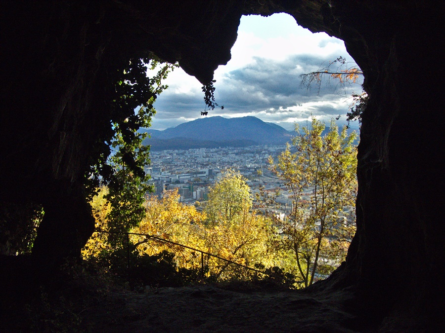
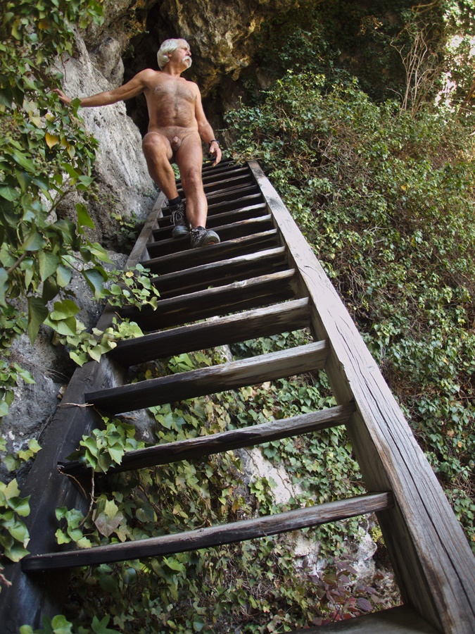
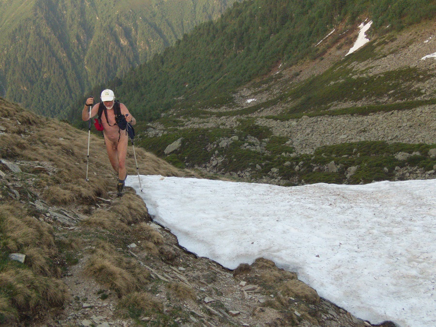
Un 12 novembre, il fait encore de température de 20°, il faut en profiter pour sortir. J’ai depuis longtemps en projet la recherche d’une geocache dans une grotte au pied du Néron, juste en face de chez moi, de l’autre coté du vallon. Ce sera pour aujourd’hui! Je me gare au hameau de Narbonne et me dirige vers la falaise du Néron. Pour l’instant, je suis les indications du cacheur. Mais j’ai un doute, je suis sur le sentier qui monte sur la crête du Néron…et la grotte est bien en dessous de moi. Demi tour. Je cherche un sentier qui descend, n’en trouve pas et prends droit dans le pierrier. C’est la galère, je glisse, tombe, repars, j’arrive finalement au bas du pierrier, maintenant il faut que je continue à descendre dans la forêt ravagée par les sangliers. Je me dirige au jugé, m’accrochant aux branches ou aux troncs, glissant sur les feuilles mortes. Ouf, je débouche juste devant les ruines de l’ancien château et couvent de la Balme. Je contourne les murs, trouve une rampe qui monte jusqu’à un escalier qui mène à la grotte. Trouver la geocache ne prends que quelques minutes. Je repars en suivant une sente dans la forêt, qui se perd, en retrouve une autre et rejoins finalement mon point de départ. Deux heures et demi de balade seulement, mais quelle dépense d’énergie!


One November 12, it is still 20° C, it is necessary to take advantage of it to go out. I have been planning for a long time to find a geocache in a cave at the foot of the Néron, just in front of my house, on the other side of the valley. It will be for today! I park at the hamlet of Narbonne and head towards the cliff of Néron. Right now, I’m following the cacheur’s instructions. But I have a doubt, I’m on the path that goes up to the crest of the Nero… and the cave is well below me. Turn around. I’m looking for a path that goes down, doesn’t find any and goes straight into the scree. It’s a mess, I slide, fall, go again, I finally get to the bottom of the scree, now I have to keep going down into the forest ravaged by the boars. I move around by judgment, clinging to branches or trunks, slipping on dead leaves. Whew, I arrive just in front of the ruins of the old castle and convent of La Balme. I walk around the walls, find a ramp that goes up to a staircase that leads to the cave. Finding the geocache only takes a few minutes. I leave following a path in the forest, which gets lost, finds another one and finally returns to my starting point. Only two and a half hours of walking, but what an energy expense!

La montagne d’Aucelon

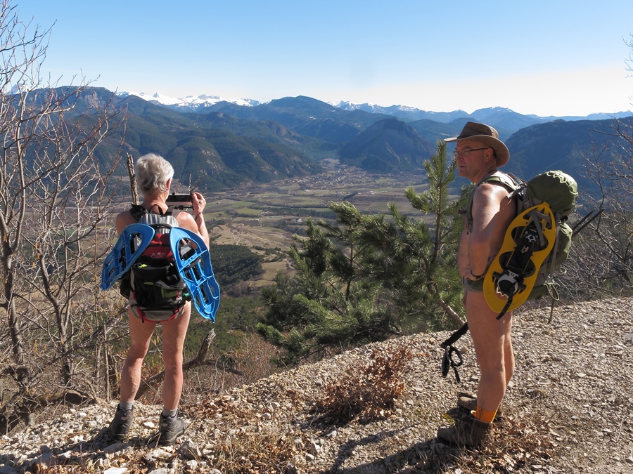
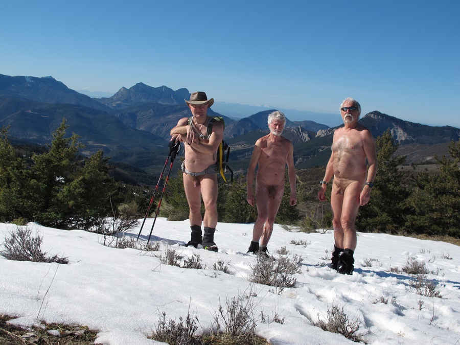
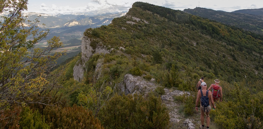
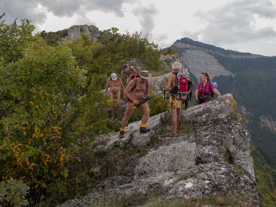
L’association des Marcheurs Nus du Val de Roanne a son siège social à la mairie du village de Montlaur en Diois, entre Die et Luc en Diois. Chaque année a lieu l’assemblée générale de l’association. Elle peut se poursuivre dans l’après midi par une balade dans les environs. La montagne d’Aucelon domine le village. C’est donc un objectif tout trouvé ces jours là. Mais cette longue crête qui débute au col de Penne et se poursuit sur des kilomètres peut aussi être une destination hors de cette occasion. C’est notamment le cas en hiver, où son orientation permet de profiter d’un ensoleillement favorable l’après midi. Pour le geocacheur que je suis, c’est une parcours avec des caches disséminées tout au long de l’arrête.


The association of the Naked Walkers of the Val de Roanne has its social seat at the town hall of the village of Montlaur en Diois, between Die and Luc en Diois. Every year the general assembly of the association takes place. It can be followed in the afternoon by a walk in the surroundings. The mountain of Aucelon dominates the village. It is therefore a goal all found these days. But this long ridge which starts at the Col de Penne and continues for miles can also be a destination out of this occasion. This is particularly the case in winter, where its orientation allows you to take advantage of a favourable sunshine in the afternoon. For the geocacher that I am, it’s a route with caches scattered all along the ridge.

Col de Marignac

En début d’après midi je me gare au col de Marignac. Le temps est couvert, il ne fait guère chaud. Tant pis, j’ai des geocaches à découvrir dans le coin. Le sentier part tout droit dans la forêt. Je suis tout de suite nu. La montée est soutenue. Je trouve la première cache dans un massif de buis. Je rejoins le sommet. La deuxième cache est facile, au pied d’un arbre. J’hésite à continuer. La suite est sur une crête rocheuse étroite. De plus le ciel se fait menaçant. Demi tour. J’arrive en vue de la route et du fourgon et me rhabille. Trois kilomètres plus loin, c’est l’orage. Un déluge de pluie et de grêle. Arrivé au village, je ne tente même pas de sortir du véhicule. Bien heureux d’être à l’abri et non pas nu en pleine forêt.


In the early afternoon I park at the Marignac pass. The weather is overcast, not very hot. Never mind, I have geocaches to discover around here. The path goes straight into the forest. I’m naked right now. The climb is sustained. I find the first cache in a boxwood massif. I’m on my way to the top. The second cache is easy, at the foot of a tree. I hesitate to continue. The suite is on a narrow rocky ridge. Moreover the sky becomes threatening. Turn around. I get in sight of the road and the van and get dressed. Three kilometres away, it’s the storm. A deluge of rain and hail. When I get to the village, I don’t even try to get out of the vehicle. Very happy to be safe and not naked in the middle of the forest.

Barral et Jocou

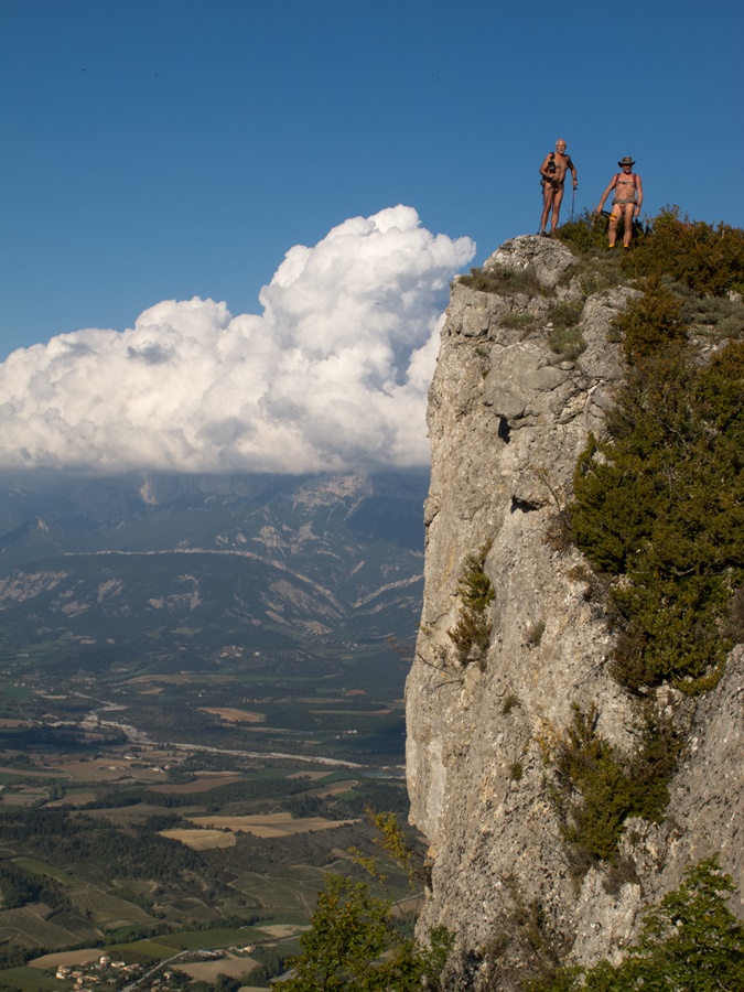
Le mont Barral et le Jocou se situent tout au sud du Vercors, au-delà du col de Menée, dans la Drôme. Un après midi de mai, rentrant du Diois, je passe au col et m’aperçois qu’il n’y aucune voiture de garée. Ce qui est assez peu courant. Je décide donc d’aller faire un tour à pied, en prenant la large piste qui mène à l’alpage du Jaboui. La prairie est encore en partie couverte de neige. Je me déshabille pour attaquer la montée dans la pente. Je connais le chemin. Heureusement car des bancs de brouillard masquent le paysage. Voilà, je suis au sommet, la peau rougie par l’effort et la fraîcheur, tache de couleur dans cet environnement blanc, ciel et sol confondus.


Mount Barral and the Jocou are situated to the south of the Vercors, beyond the Col de Menée in the Drôme department. One afternoon of May, returning from the Diois, I went to the pass and see that there is no parked car. This is quite uncommon. So I decide to go for a walk by foot, taking the wide track that leads to the Jaboui alpine pastures. The prairie is still partly covered with snow. I undress to attack the climb up the slope. I know the way. Fortunately, as benches of fog mask the landscape. Here, I am at the summit, the skin reddened by effort and freshness, spot of color in this environment white, sky and ground confused.


Un jour de semaine, je pars pour le Jocou. J’espère bien être tranquille pour y faire une belle randonnue.
Je laisse la voiture au col de Menée et emprunte la piste du Jaboui. Avant d’arriver à l’alpage, je suis déjà nu. Je débouche dans la prairie pour apercevoir une file de silhouettes sur la crête se dirigeant vers l’itinéraire que je voulais prendre. Je fais un détour et monte au mont Barral pour leur laisser le temps de s’éloigner.
En descendant du Barral, je rejoins la crête et j’avance rapidement. Trop rapidement. Je rattrape tout le groupe au pied du raidillon après le col de Seysse. J’ai juste enfilé un short. Je suis torse nu, avec un tout petit sac et des chaussures de trail. Ils sont en polaire et parkas, lourdement chargés. Ils me regardent comme un extraterrestre au moment où je double toute la file. Au grand mécontentement du chef de groupe!
Au sommet du Jocou, un autre groupe est déjà là. Décidément, que de monde aujourd’hui. Je fais demi-tour et croise le premier groupe qui finit la montée. Dès qu’ils ont disparu derrière un repli, je me remets nu pour la descente. Plus loin, je trouve un coin à l’abri du vent pour déjeuner, puis rejoint la prairie de Jaboui couverte de fleurs.


On a weekday, I’m going to the Mona Lisa. I hope to be able to take a nice naked hike there.
I leave the car at the Col de Menée and take the Jaboui trail. Before reaching the mountain pasture, I am already naked. I end up in the meadow to see a line of silhouettes on the ridge heading towards the route I wanted to take. I make a detour and climb Mount Barral to give them time to get away.
Coming down from the Barral, I reach the ridge and move quickly. Too fast. I catch up with the whole group at the foot of the raidillon after the Seysse pass. I just put on my shorts. I’m shirtless, with a very small bag and trail shoes. They’re fleece and parkas, heavily loaded. They’re looking at me like I’m an alien as I double-pass the whole line. Much to the annoyance of the group leader!
At the top of the Jocou, another group is already there. It’s definitely busy today. I turn around and cross paths with the first group that finishes the climb. As soon as they’ve disappeared behind a fold, I get naked again for the descent. Further on, I find a place sheltered from the wind for lunch, then I reach the Jaboui meadow covered with flowers
.


En octobre 2017, je profite d’une reconnaissance du balisage du GR93 pour faire une recherche de quelques geocaches sur les flancs du mont Barral.


In October 2017, I take advantage of a reconnaissance of the GR93 markings to search for a few geocaches on the slopes of Mount Barral.

Vallon des Forges

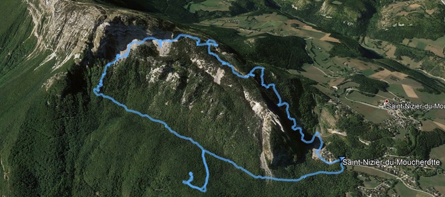
Petite sortie d’après midi, décidée tardivement au cours du déjeuner. On se gare à 14 heures 30 passé au pied du tremplin de Saint Nizier du Moucherotte. Ma compagne n’est pas à l’aise avec ma nudité sur les chemins, surtout si près de la ville. Ce sera donc à priori une balade textile en short et tee shirt.

Le chemin commence à descendre puis remonte doucement en passant sous les Trois Pucelles. A un moment, je remarque sur mon gps qu’une geocache doit se trouver à quelques centaines de mètres en contrebas. Un étroit sentier semble y mener. Ma compagne décide de ne pas rajouter un détour et de continuer, quitte à moi à la rattraper.

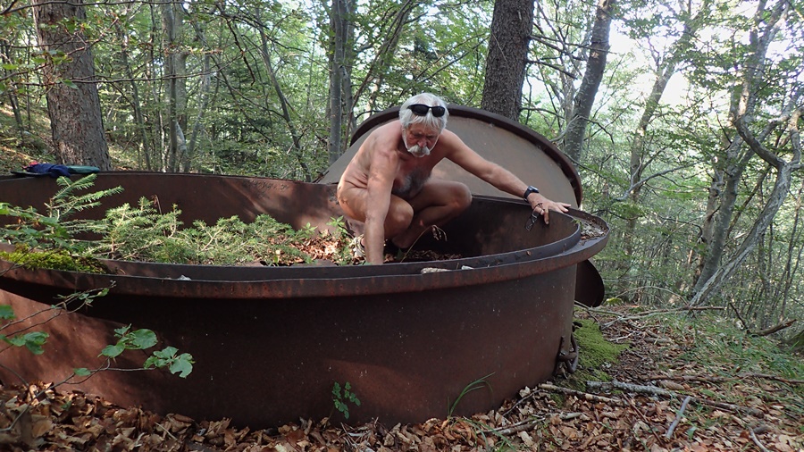
Seul, je suis tout de suite nu. Je dévale le sentier, coupe à travers la forêt et trouve le site recherché, un large espace où sont à moitié enterrées de grandes cuves métalliques rouillées qui ont servi autrefois à faire du charbon de bois. J’ai trouvé le coin, il me reste à trouver la cache. Je tourne et retourne, rien ! Le temps passe. Il faut me résoudre à repartir bredouille. Je remonte en pressant le pas, soufflant de temps à autre, retrouve le chemin, accélère pour tenter de rejoindre ma compagne. Il y a quelques croisements de sentiers. J’espère seulement qu’on est bien tous les deux sur le même itinéraire ! Le chemin plus ou moins horizontal laisse la place à une montée bien raide en lacets dans la forêt puis débouche sur un pierrier en contrebas d’une ligne de falaises. Je m’arrête un moment pour prendre des photos de l’agglomération grenobloise qui s’étend en contrebas. Le sentier sinue dans le pierrier avant de buter sur la falaise et de se glisser dans une combe qui mène à la grande piste qui descend du Moucherotte vers Saint Nizier. Ma compagne est là qui m’attend. Il est temps pour moi de me rhabiller.


Small afternoon outing, decided late during lunch. We park at 2:30 p. m. at the foot of the springboard of Saint Nizier du Moucherotte. My girlfriend is not comfortable with my nakedness on the roads, especially so close to the city. So it will be a textile walk in shorts and T-shirt.
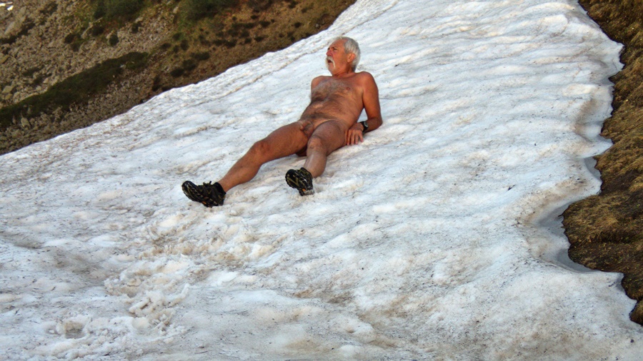
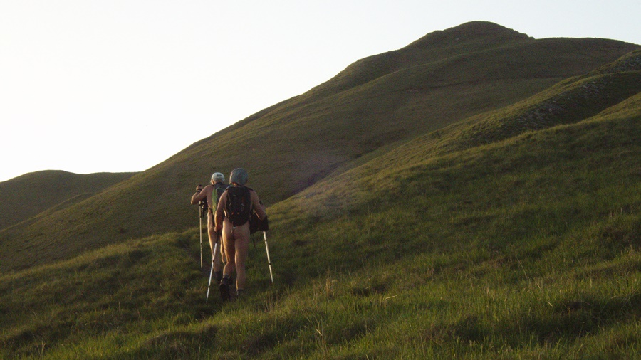
The path starts to go down and then slowly climbs upwards passing under the Trois Pucelles. At one point, I notice on my GPS that a geocache must be a few hundred meters below. A narrow path seems to lead there. My girlfriend decides not to add a detour and to continue, even if it means me catching up with her.

Alone, I’m naked right now. I ramble down the path, cut through the forest and find the desired site, a large space where are half buried large rusty metal tanks that were once used to make charcoal. I’ve found the corner, so I have to find the cache. I’m turning and turning, nothing! Time flies. You have to make me decide to go home empty-handed. I go back up again, pressing the pace, blowing from time to time, finding the way back, accelerating to try to reach my partner. There are a few crossings of trails. I just hope we’re both on the same route! The more or less horizontal path gives way to a steep climb in the forest and then leads to a scree below a line of cliffs. I stop for a moment to take pictures of the Grenoble conurbation which stretches below. The path sinks in the stone before hitting the cliff and slipping into a ridge that leads to the big trail that descends from Le Moucherotte to Saint Nizier. My partner’s here waiting for me. It’s time for me to get dressed again.

Les batteries du Néron

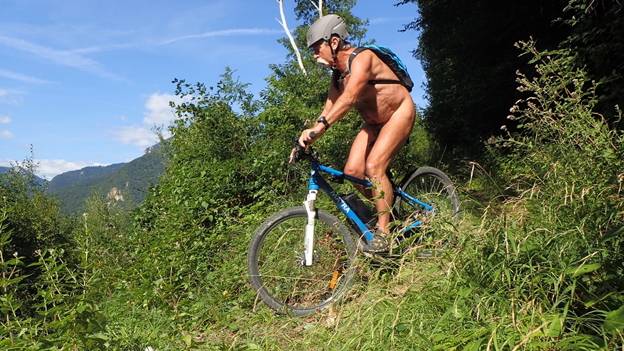
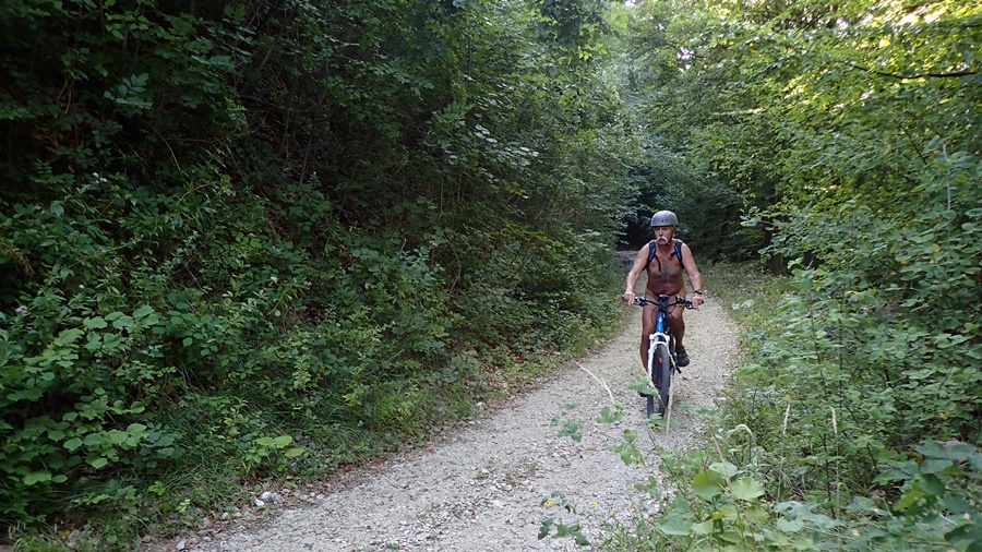
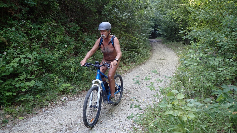
Petite sortie dominicale d’après midi en VTT. Habillé léger pour un cycliste : un short court et un tee shirt, je monte par la route en direction du col de Clémencière. L’avantage du VTT à assistance électrique, c’est que je ne suis pas asphyxié dans cette montée. Je reste raisonnable, avec une assistance à 2 sur 4. En fait je ne mettrai le turbo que sur le début du chemin au dessus du hameau de Ripaillère pour passer la première montée caillouteuse avant de retrouver un terrain plus plat et de redescendre l’assistance, quitte même à la couper par moment. Sur ce chemin je croise deux ou trois promeneurs. J’arrive au tunnel qui mène à l’ancien fort des Batteries. Il n’y a personne dans le coin. Je me déshabille pour chercher d’abord une geocache vite trouvée. Puis je continue en montant les lacets d’un sentier qui s’élève dans la forêt jusqu’au moment où le chemin s’arrête. Demi tour et descente jusqu’au fort. Je repasse le tunnel. Je suis tellement bien nu que je décide de reprendre la piste forestière comme cela. Je roule jusqu’à ce que j’aperçoive deux personnes au loin. En vélo, c’est plus difficile qu’en randonnée de se couvrir rapidement. Je préfère faire demi tour et rejoindre un autre chemin qui m’amènera plus bas. Bon, il est temps de se rhabiller.Je retrouve la route, passe le col de Clémencière et redescend chez moi avec quelques petits détour par des chemins de traverse.


Small Sunday afternoon outing by mountain bike. Dressed light for a cyclist: short shorts and a tee shirt, I ride by the road in the direction of the pass of Clémencière. The advantage of a MTB with electric assistance is that I am not asphyxiated in this climb. I remain reasonable, with assistance to 2 out of 4. In fact I will only put the turbo on the beginning of the way above the hamlet of Ripaillère to pass the first stony climb before finding a flatter terrain and down the assistance and even to cut it at times. On this road I cross two or three walkers. I arrive at the tunnel which leads to the former fort of Batteries. There is no one in the area. I undressed to look for a geocache quickly found. Then I go up the laces of a path that rises in the forest until the path stops. Half turn and descent to the fort. I go back by the tunnel. I am so well naked that I decide to resume the forest track like this. I drive until I see two people in the distance. By bike, it’s harder than hiking to cover up quickly. I prefer to turn around and join another path that will take me down. Well, it’s time to get dressed again. I find the road, pass the Col de Clémencière and go down home with a few detour by short cut.

Les Vans

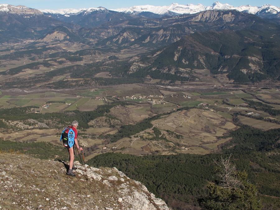
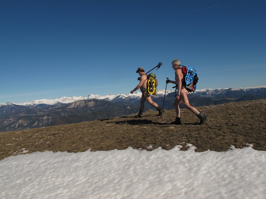
En mars dernier je suis monté en raquettes au sommet des Vans lors d’un rassemblement pour défendre ce sommet des projets d’extension de la station de Chamrousse. Je décide d’y retourner en été.
Je me gare au départ du chemin d’accès au plateau de l’Arselle, le site nordique de Chamrousse en hiver. Premier objectif, le lac Achard que j’atteins en une heure et demi. Même un jour de semaine de septembre, il y a du monde autour du lac. Je n’ai que mon short et je pense que c’est encore trop, mais, tant que je reste à proximité de Chamrousse, je n’ai guère le choix. En montant j’ai déjà trouvé une geocache en chemin, j’en découvre une seconde à proximité du lac et une troisième un peu au dessus.
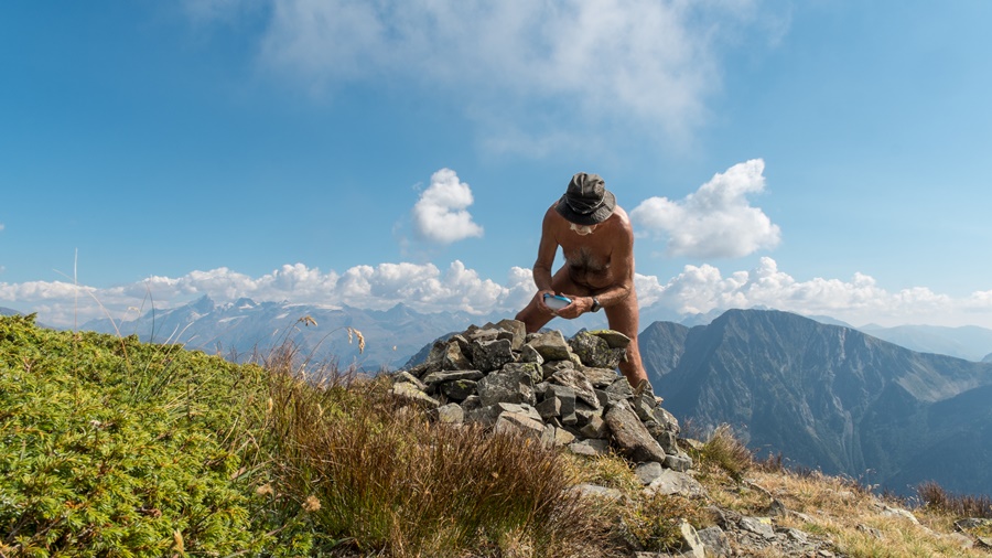
Après le col de la Botte, juste en dessous sommet de la station, je descend vers le col des Lessines. Là, je suis juste au pieds des Vans. Il ne reste plus qu’à monter ce vallon, bien raide. Le panneau indique: 1 km, 1 heure. Aux jumelles, j’ai aperçu quelqu’un au sommet, mais j’espère être tranquille pour l’ascension et pouvoir enfin enlever ce short. Las! un jeune homme débouche au col au moment où j’attaque dans le pierrier. Il semble hésiter, puis me voyant, enchaîne derrière moi. Finalement, il me rejoint, mais reste avec moi, car je lui sers de guide pour trouver les cairns qui indiquent vaguement le chemin dans cet univers minéral de roches et de cailloux. Mais à un moment donné, j’ai dû raté une trace et perdre l’itinéraire. J’arrive dans un pierrier bien pentu, sans autre repère que le sommet qui se découpe là haut. Nous montons donc droit dans la pente, glissant à chaque pas, zigzaguant entre les blocs. C’est sans doute un bel itinéraire de descente en ski de rando en hiver, mais c’est une galère à monter en été. Par chance, nous passons à proximité de trois chamois qui se prélassent sur des banquettes rocheuses. Enfin nous sortons de ce couloir pour déboucher en haut, juste sous le Petit Van que l’on rejoint rapidement. Je me pose pour casse croûter, l’autre fait de même à quelques mètres. Je me dis que je vais devoir le supporter toute la journée. Malgré tout, discrètement, j’arrive à trouver une cache dans les environs. Finalement, il me demande si je redescends. Je lui réponds que je vais sans doute faire une bonne sieste. Il me quitte alors pour attaquer la descente.
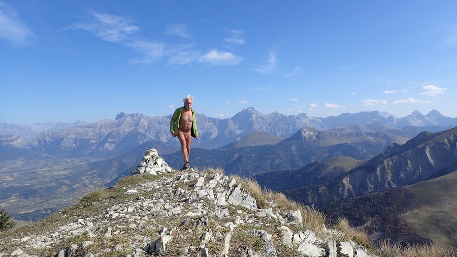
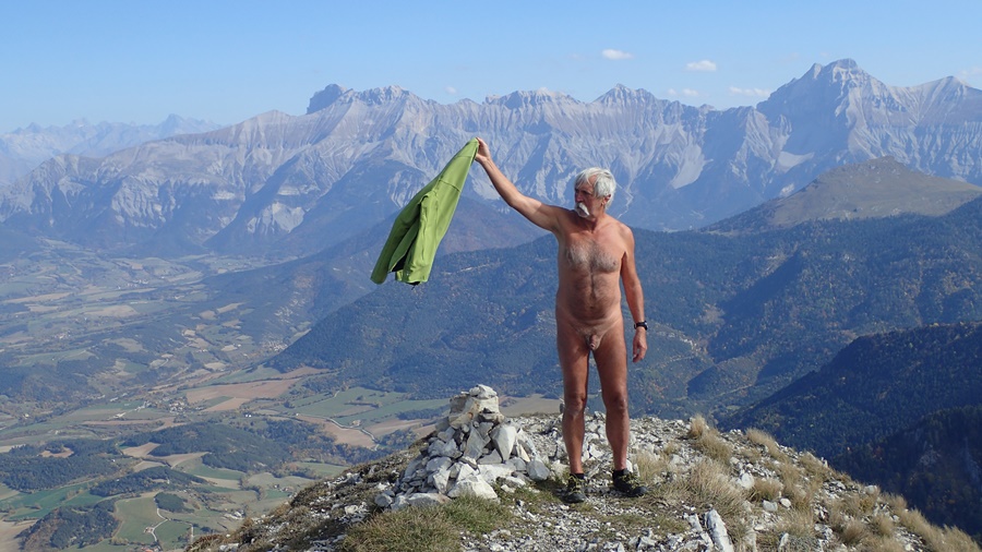
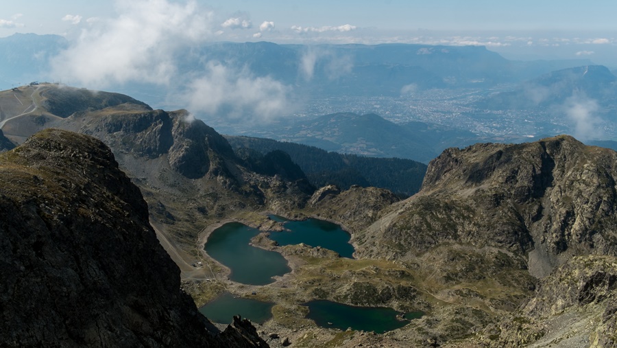
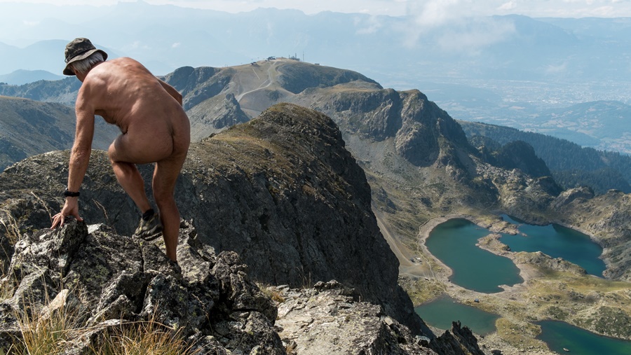
Enfin seul. Et nu. Je ne fais pas la sieste, mais en profite pour aller jusqu’au sommet du Grand Van, puis trouver une autre cache. La vue est grandiose. Je domine les lacs Robert, de l’autre coté, tout en bas, j’aperçois la Romanche et la route qui mène vers l’Oisans. Pour descendre, je repère le bon sentier, mais il n’est guère meilleur que le cheminement de montée. Très glissant. Une sixième cache au passage. De retour au col des Lessines, j’en découvre encore une septième. L’après midi est déjà bien avancé. Il n’y a plus personnes dans le coin. Je remonte nu sur le GR. En chemin, deux nouvelles caches sont trouvées facilement. Je met juste mon short juste pour éviter deux personnes au col de la Botte.
Arrivé au lac Achard, je m’arrête un moment. C’est si tentant ce lac qui passe déjà à l’ombre, même si l’eau n’apparaît pas parfaitement claire. Allez, un petit bain, qui rafraîchit le corps. Puis la descente vers l’Arselle et la traversée du plateau. Je remet le short en arrivant près des bâtiments.
Huit heures et demi de balade. Neuf geocaches dont cinq trouvées naturistement. Un journée bien remplie.


Last March I climbed on snowshoes at the summit of Vans during a rally to defend this summit of plans to extend the resort of Chamrousse. I decided to go back in the summer.


I park at the start of the path to the plateau of l’Arselle, the nordic skiing site of Chamrousse in winter. First objective, Lake Achard that I reach in an hour and a half. Even on a weekday in September, there are people around the lake. I only have my shorts and I think it’s still too much, but as long as I stay near Chamrousse, I have little choice. Upon climbing I already found a geocache on the way, I discovered a second near the lake and a third a little above.
After the Col de la Botte, just below the summit of the resort, I go down towards the Col des Lessines. There I am just at the foot of the Vans. All that remains is to climb this valley, very steep. The sign reads: 1 km, 1 hour. In the binoculars, I saw someone at the top, but I hope to be quiet for the ascent and finally to be able to remove my shorts. Unfortunately, a young man emerges at the pass at the moment when I attack in the scree. He seems to hesitate, then seeing me, chained behind me. Finally, he joins me, but stays with me because I guide him to find the cairns that vaguely indicate the way in this mineral universe of rocks and pebbles. But at one point I happen to miss a trace and lose the route. I arrive in a steep scree, with no reference other than the summit that is in sight above. We climb straight up the slope, gliding at each step, zigzagging between the blocks. It is probably a nice route downhill skiing in winter, but it is a hassle to climb in summer. Luckily, we pass close to three chamois lounging on rocky benches. Finally we go out of this corridor to reach up, just under the Petit Van that one joins quickly. I sit myself down there to snack, the other does the same a few meters. I think I’ll have to bear him all the day. Despite everything, discreetly, I manage to find a cache in the vicinity. Finally, he asks me if I go back down. I reply that I will probably take a good nap. He then left me to attack the descent.
Finally alone. And naked. I do not take a nap, but take the opportunity to go to the top of the Grand Van, then find another cache. The view is grand. I overlook the lakes Robert, on the other side, at the bottom, I see the Romanche and the road that leads to the Oisans. To go down, I spot the good path, but it is not better than the climbing path. Very slippery. A sixth cache in passing. Back to the Col des Lessines, I discovered a seventh. The afternoon is already well advanced. There are no more people in the area. I go back naked on the GR. Along the way, two new caches are found easily. I just put my shorts jto avoid two people at the pass of Botte.
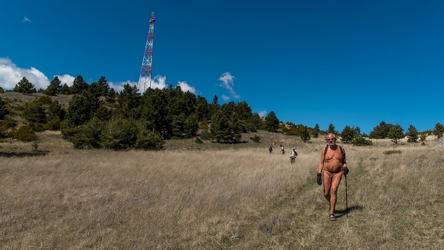
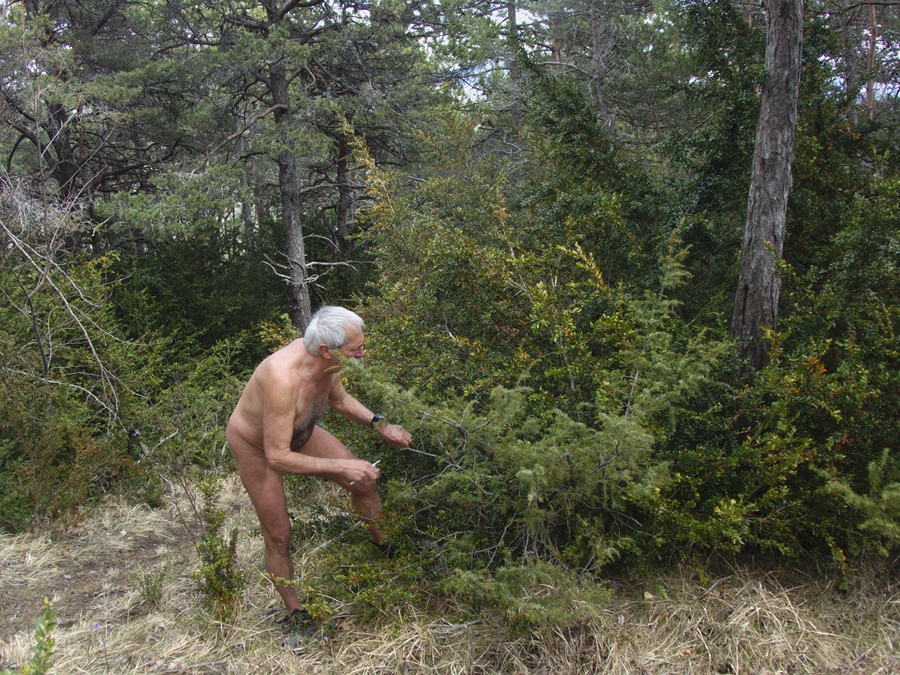
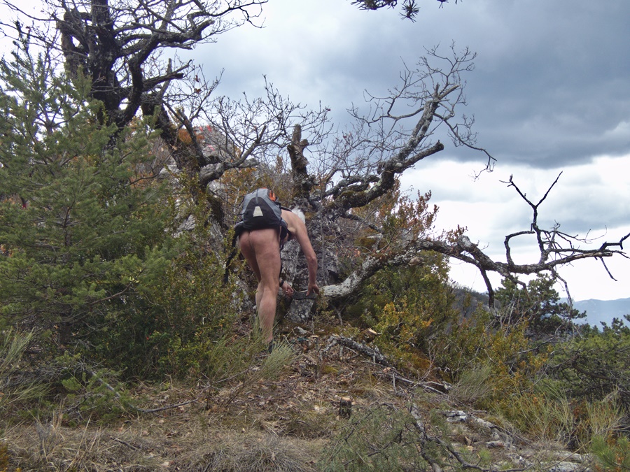
Arrived at Lake Achard, I stop for a moment. It is so tempting this lake that already passes in the shade, even if the water does not appear perfectly clear. Go, a little bath, which refreshes the body. Then the descent towards the Arselle and the crossing of the plateau. I put on the shorts when I arrived near the buildings.
Eight and a half hours of walking. Nine geocaches including five found naked. A busy day