Saint Benoit – Rimon

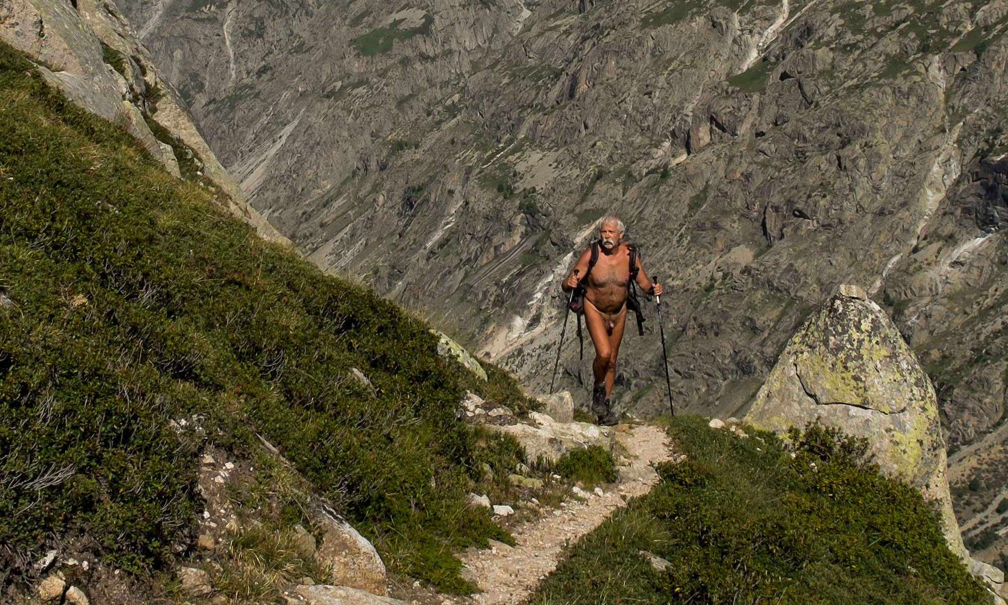
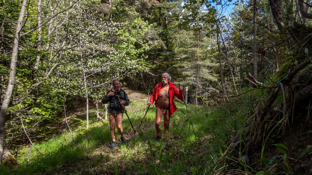
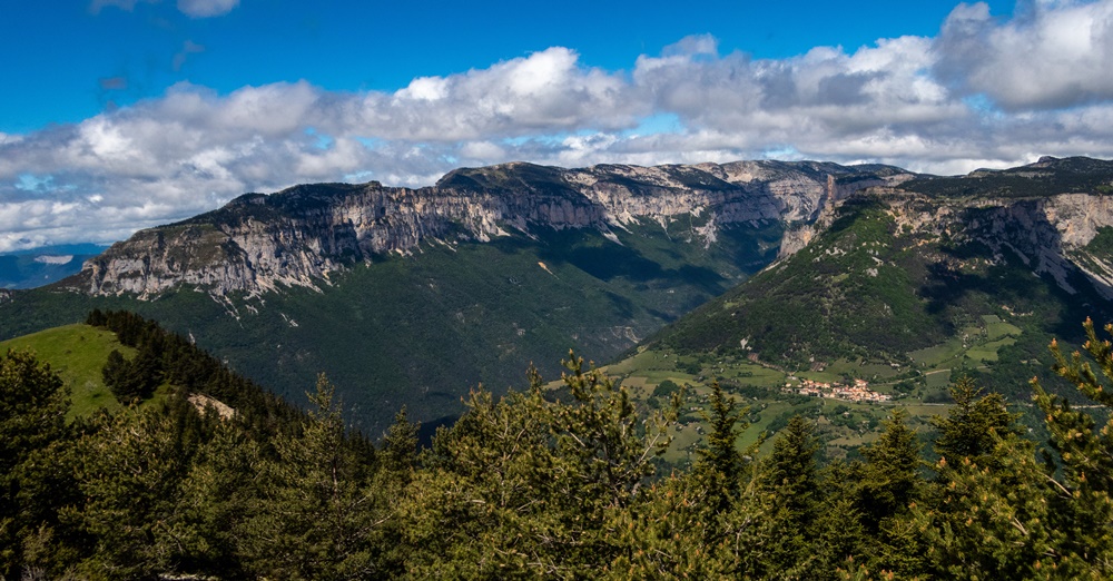
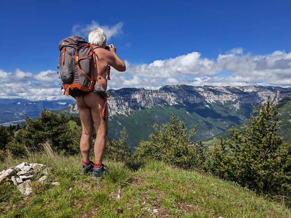
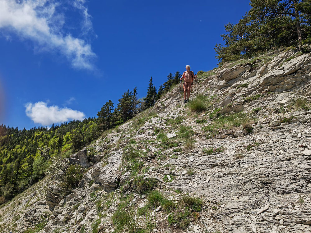
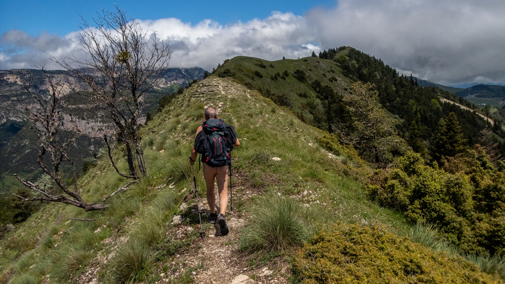
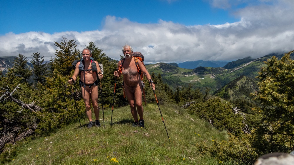
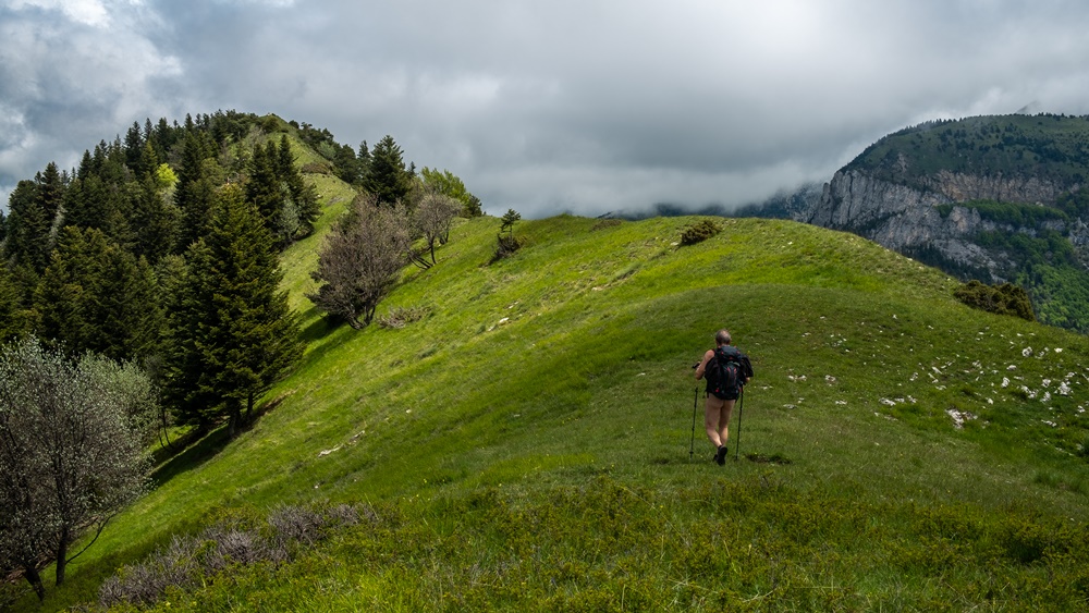
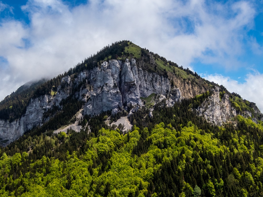
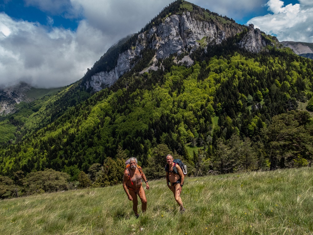
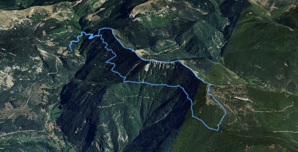
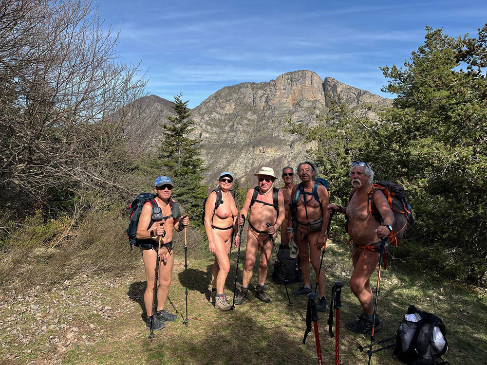
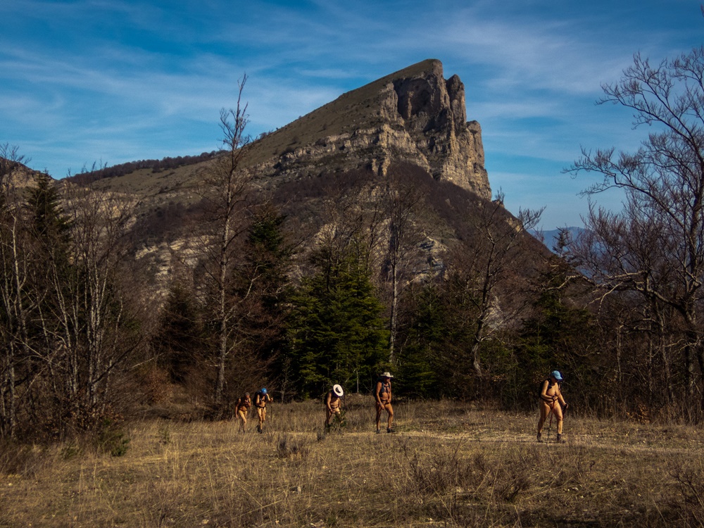
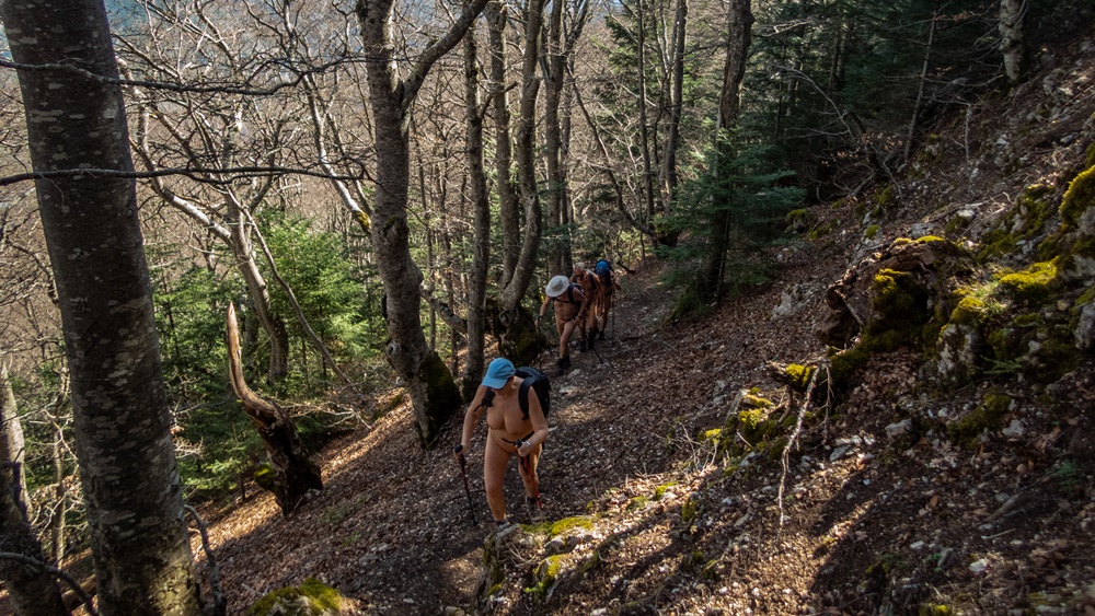
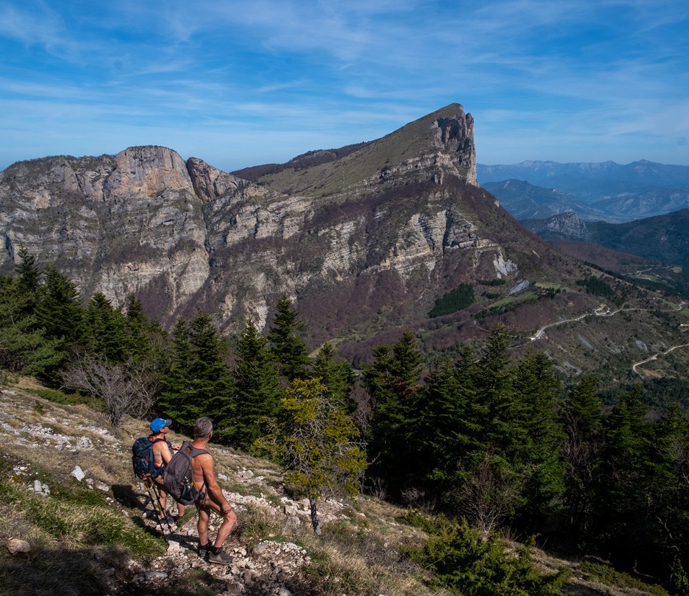
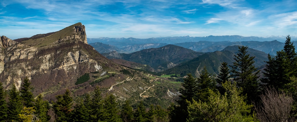
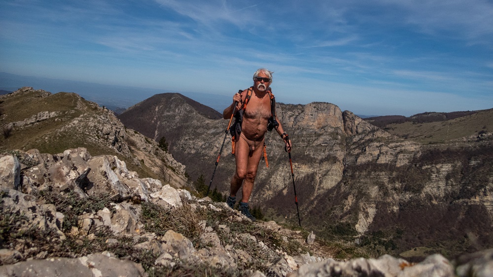
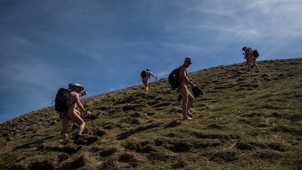
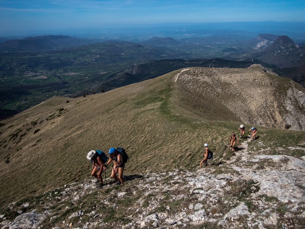
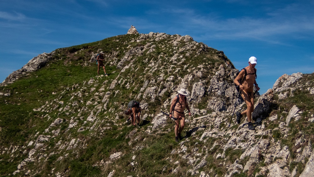
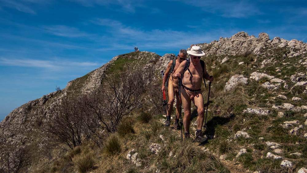
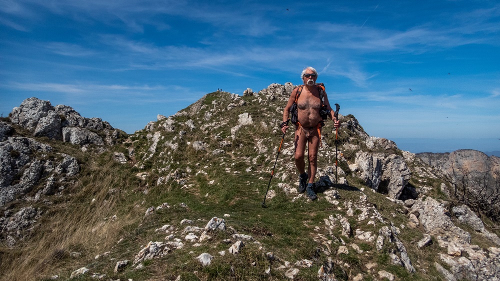
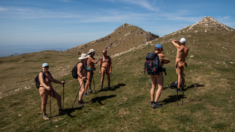
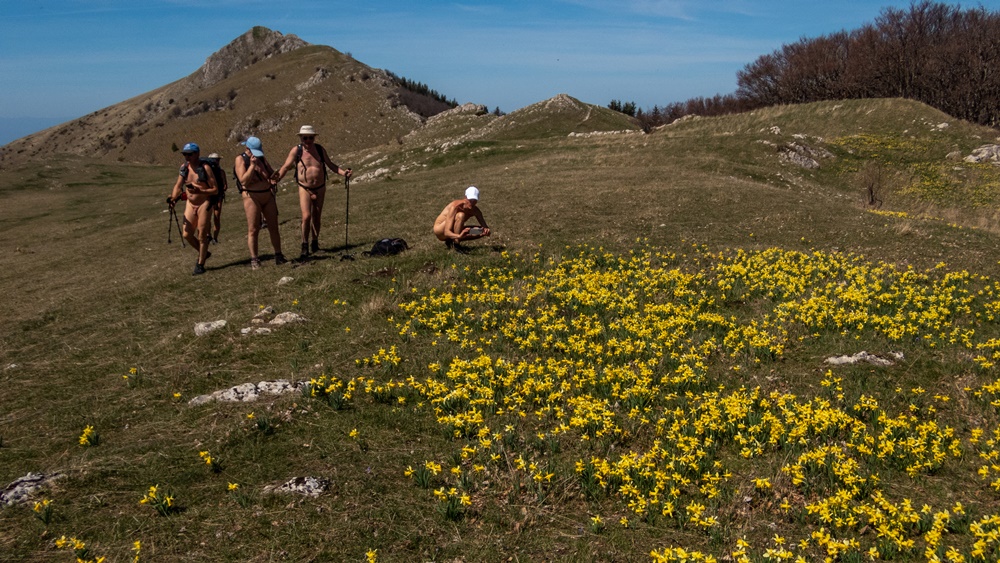
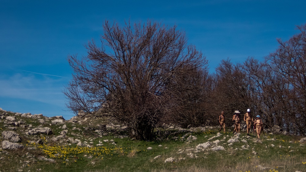
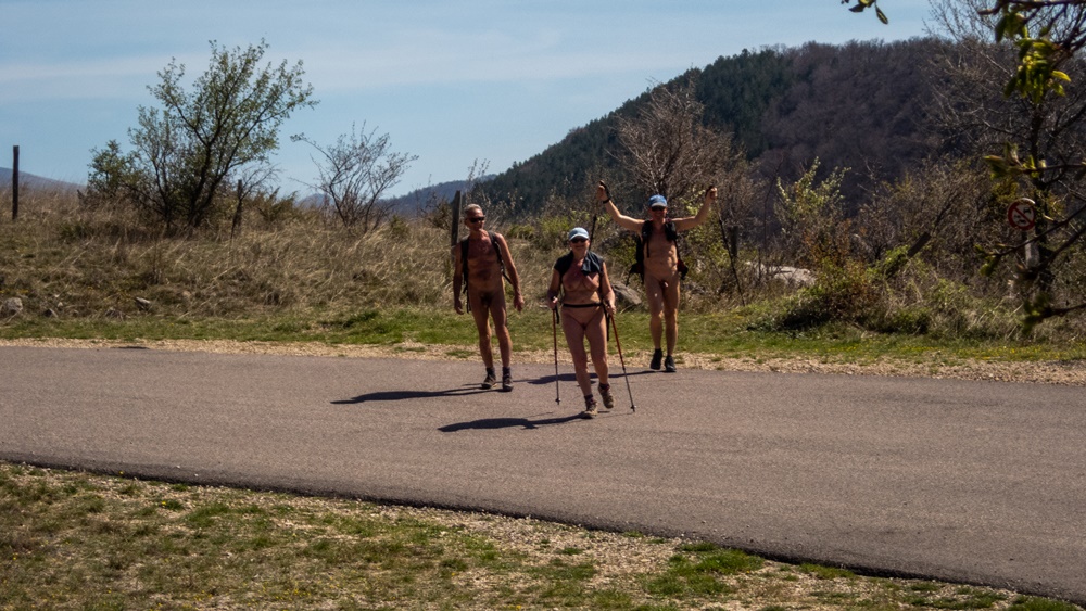
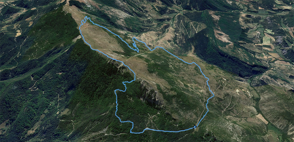
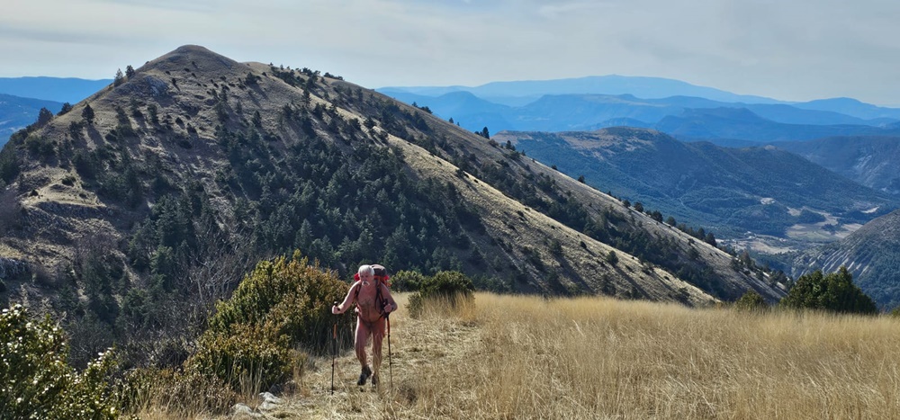
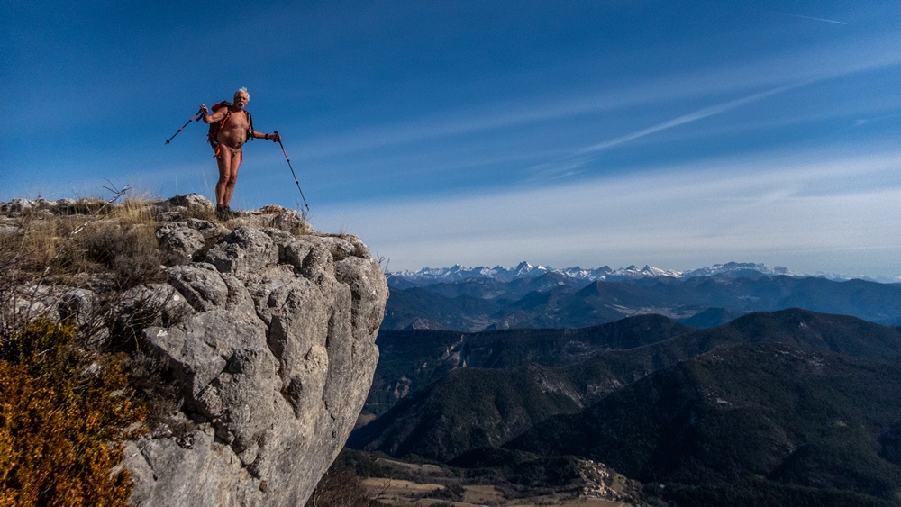
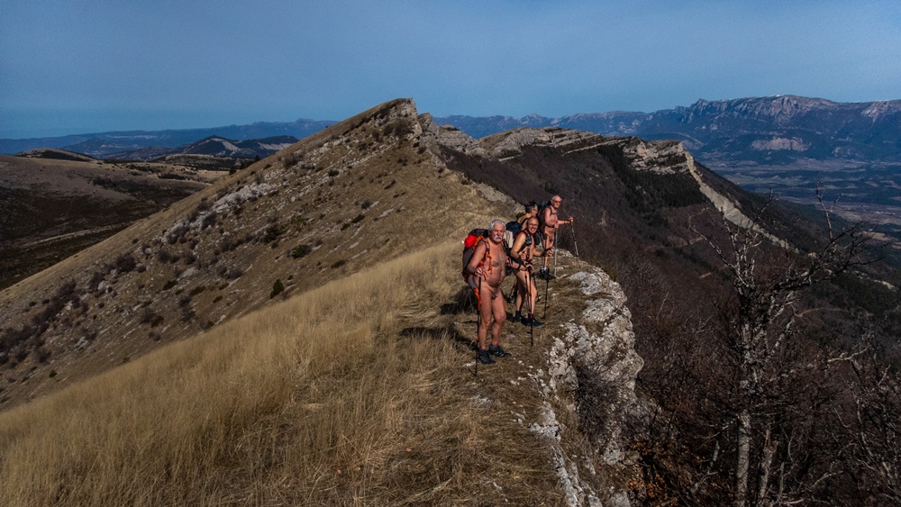
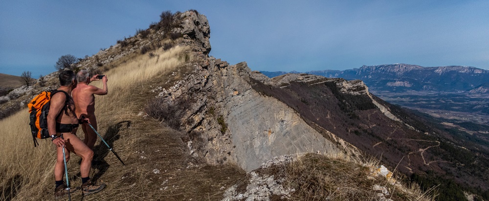
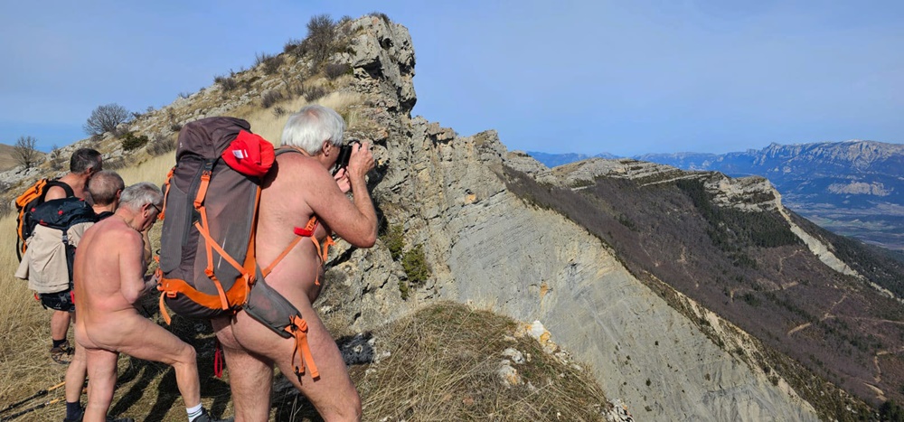
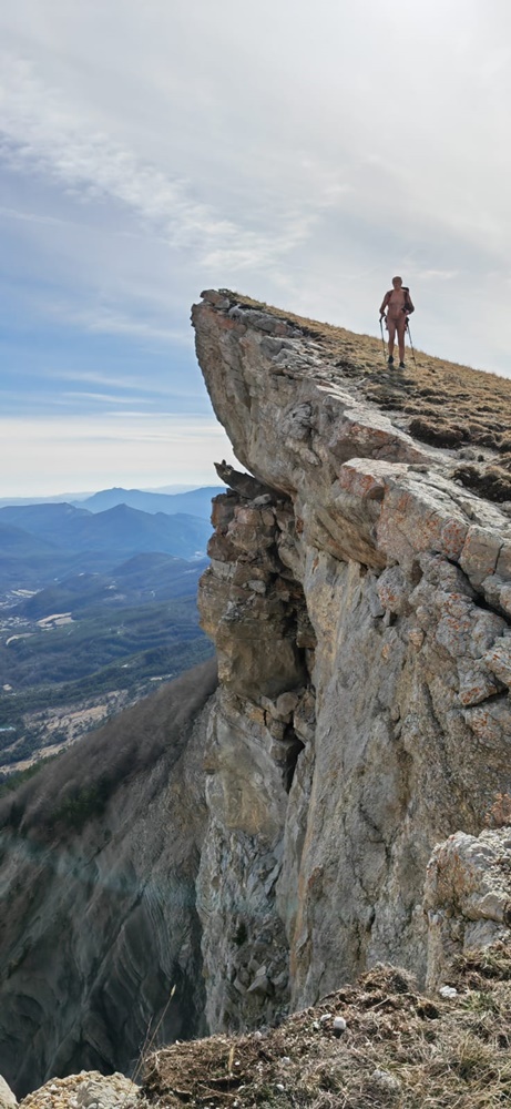
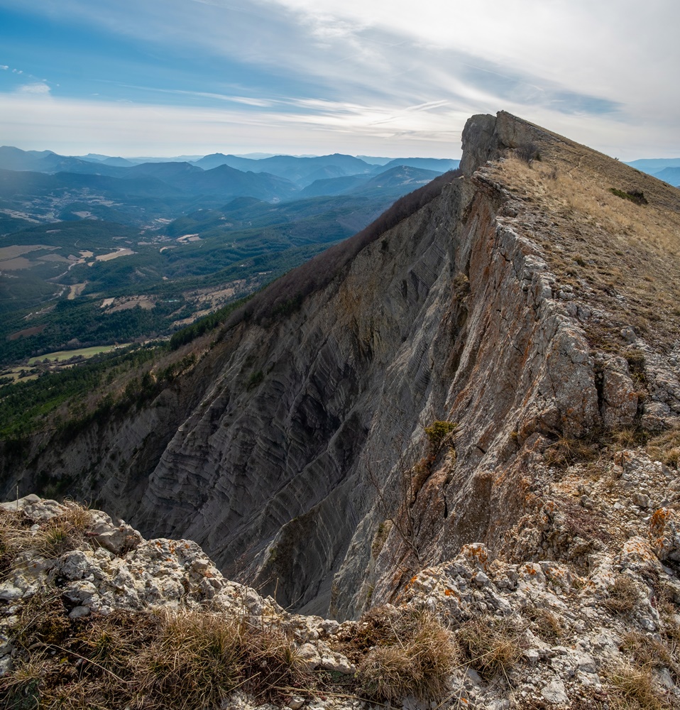
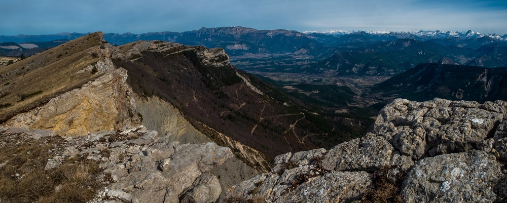
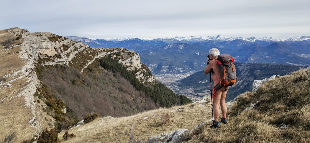
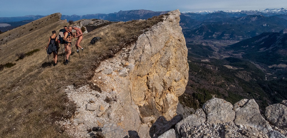
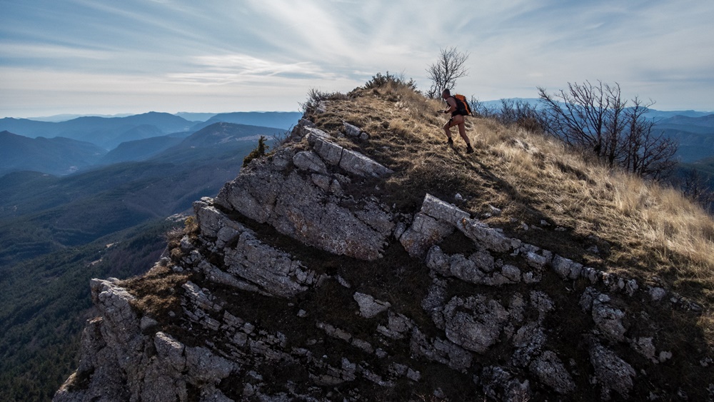
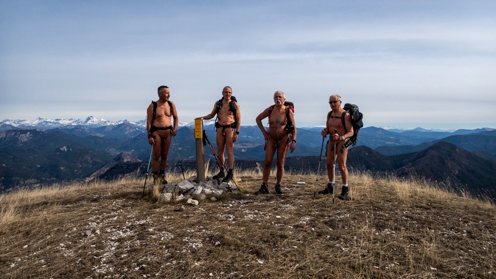
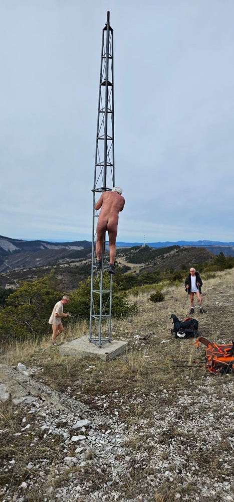
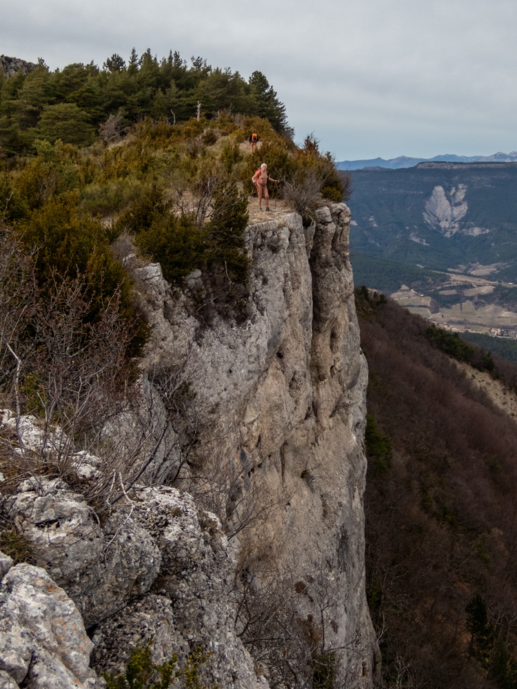
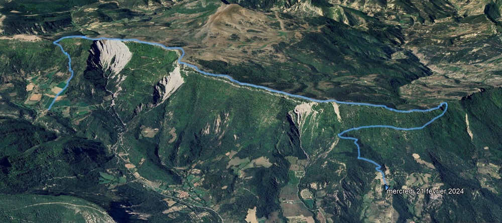
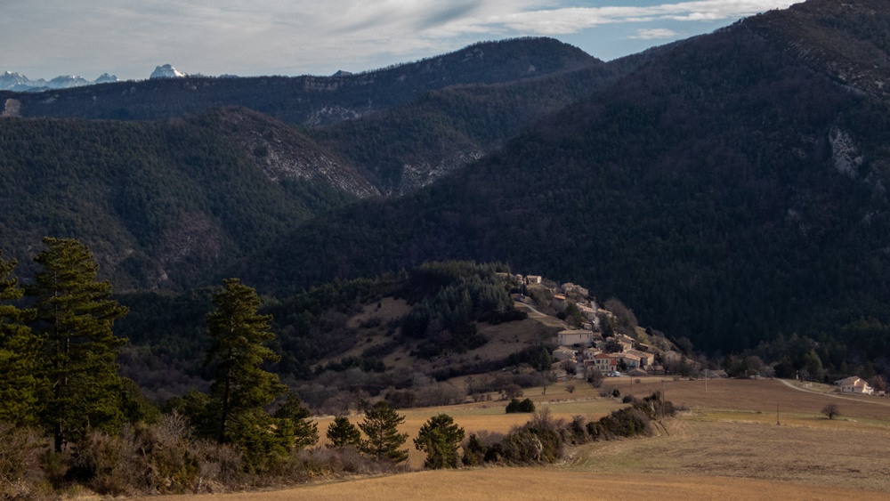
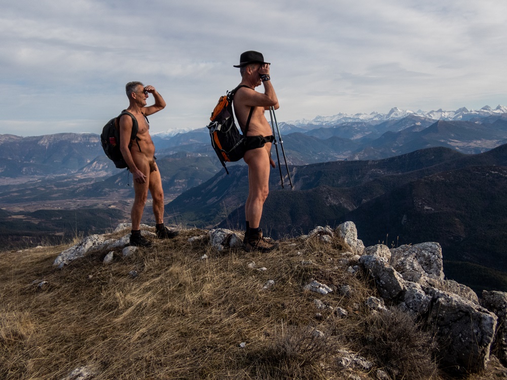
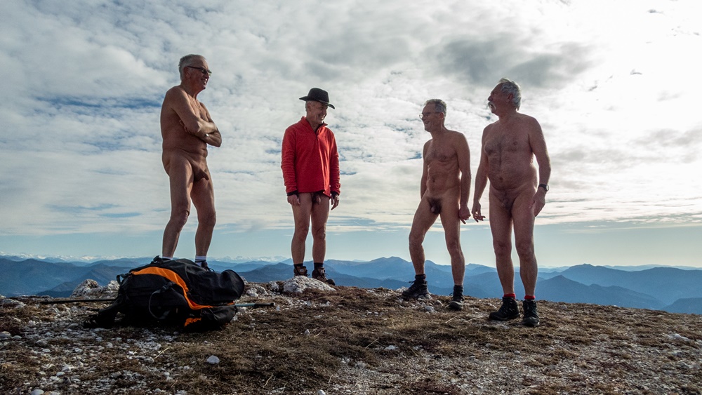
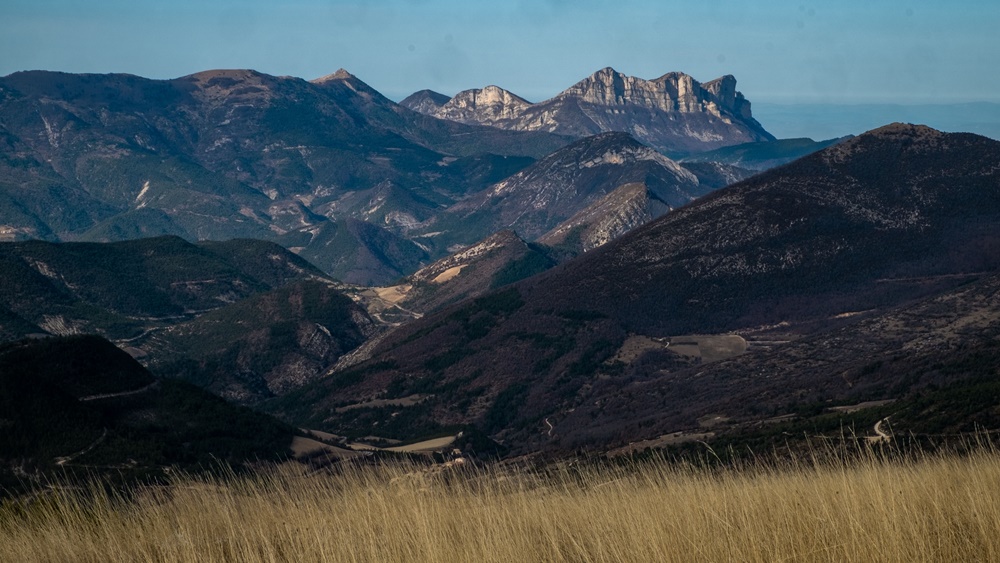
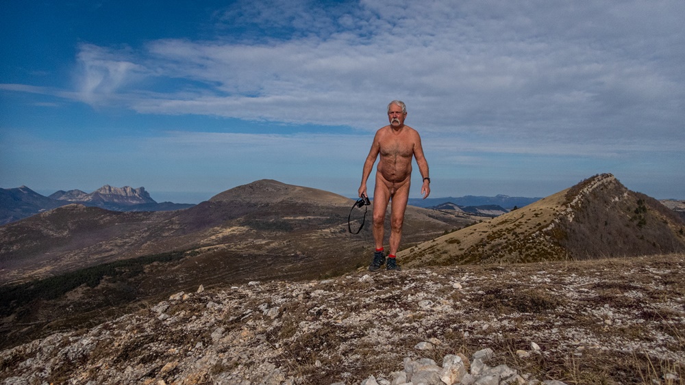
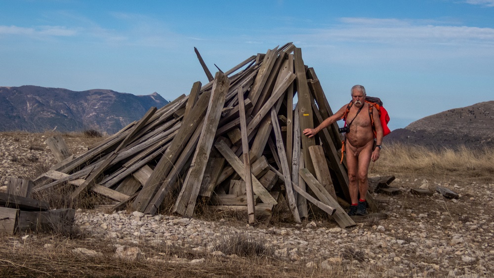
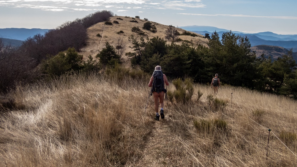
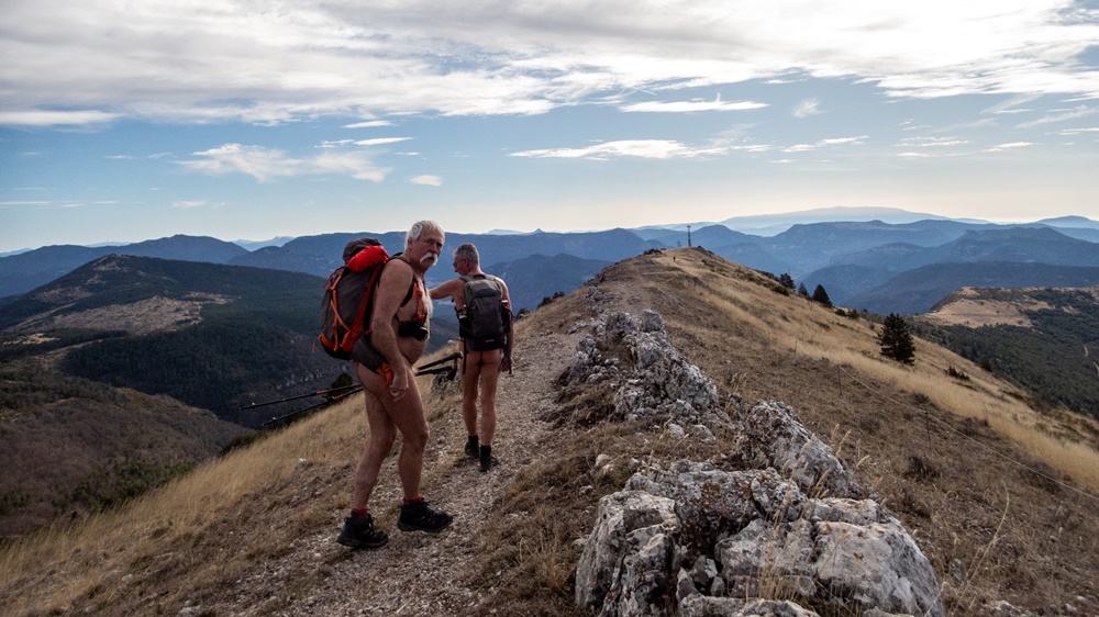
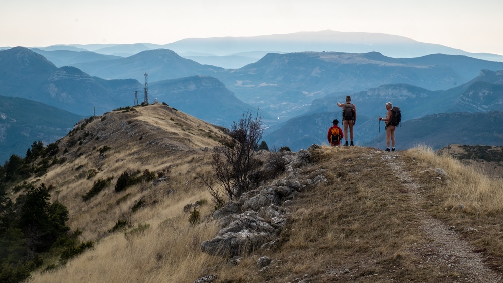
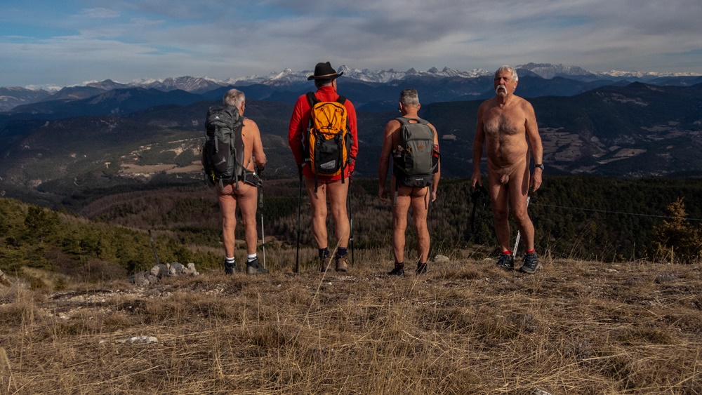
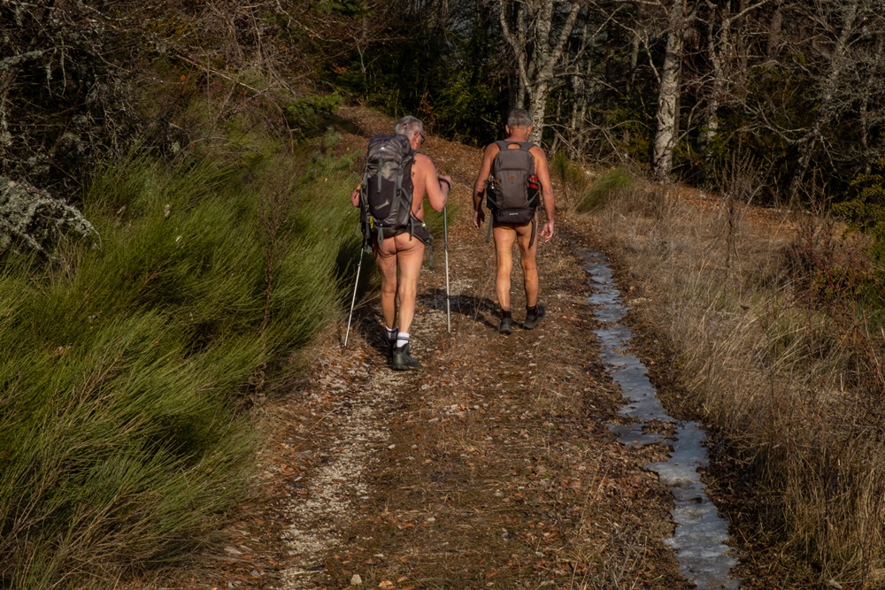
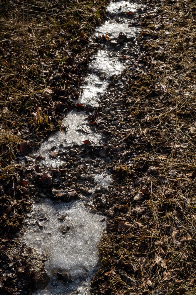
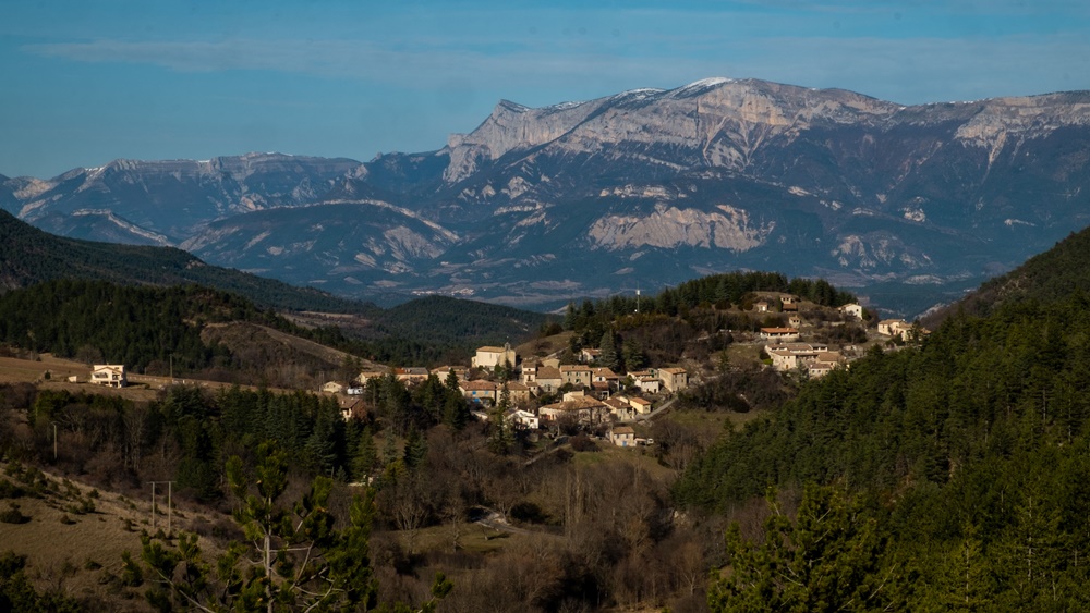
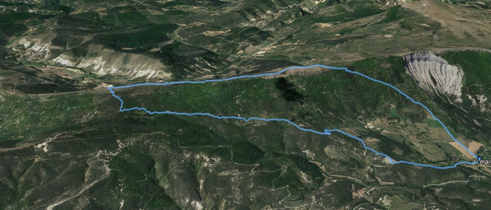
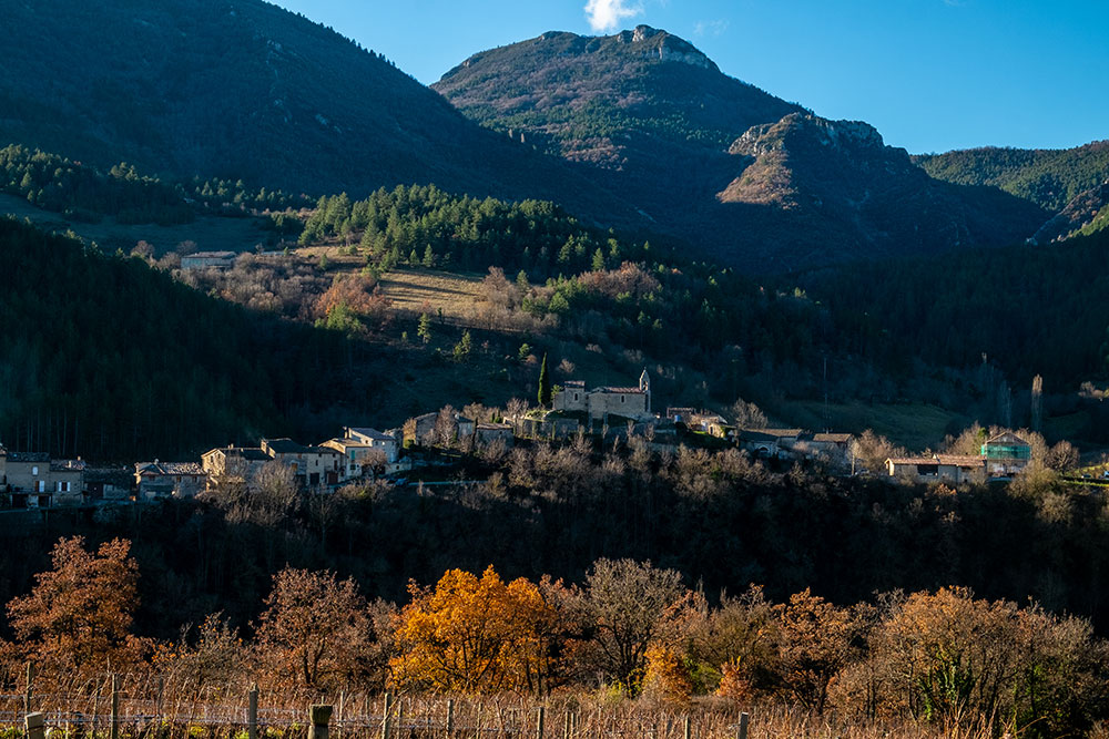
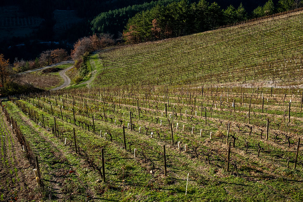
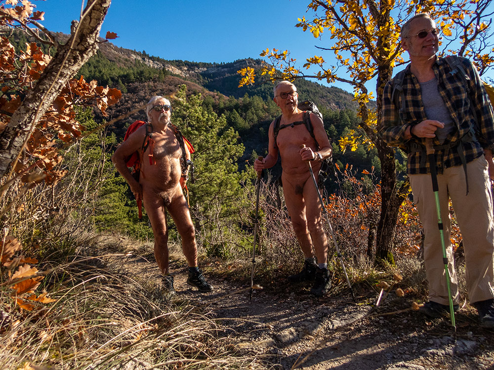
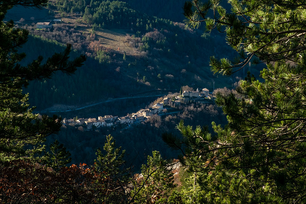
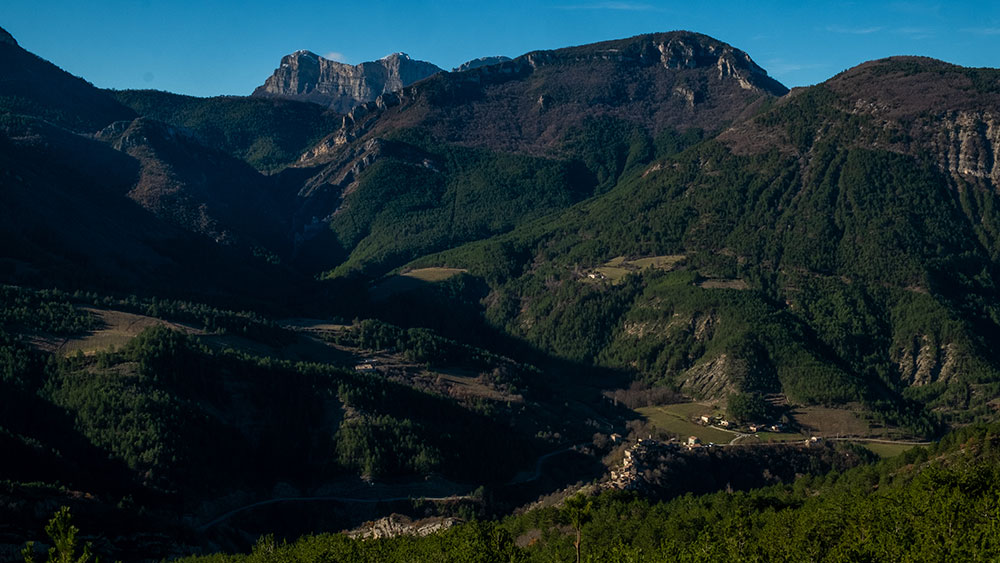
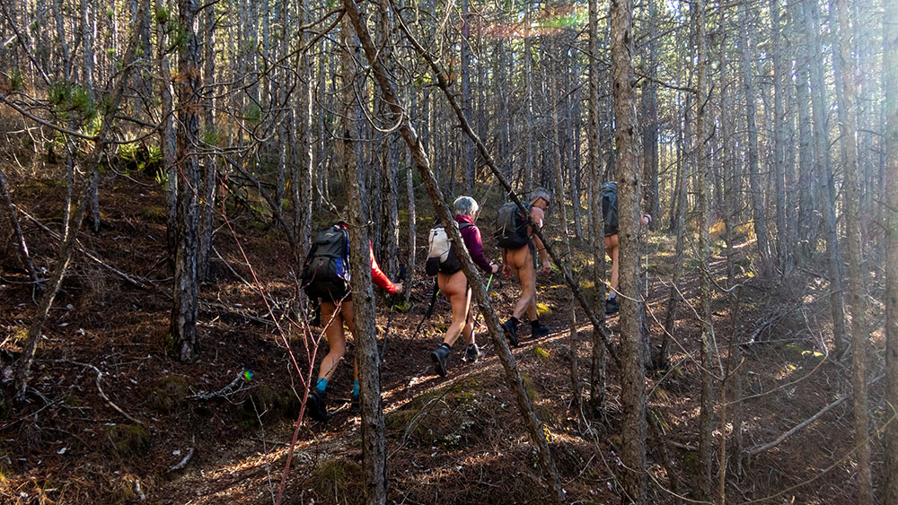
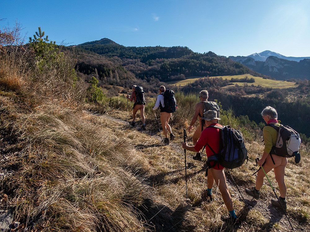
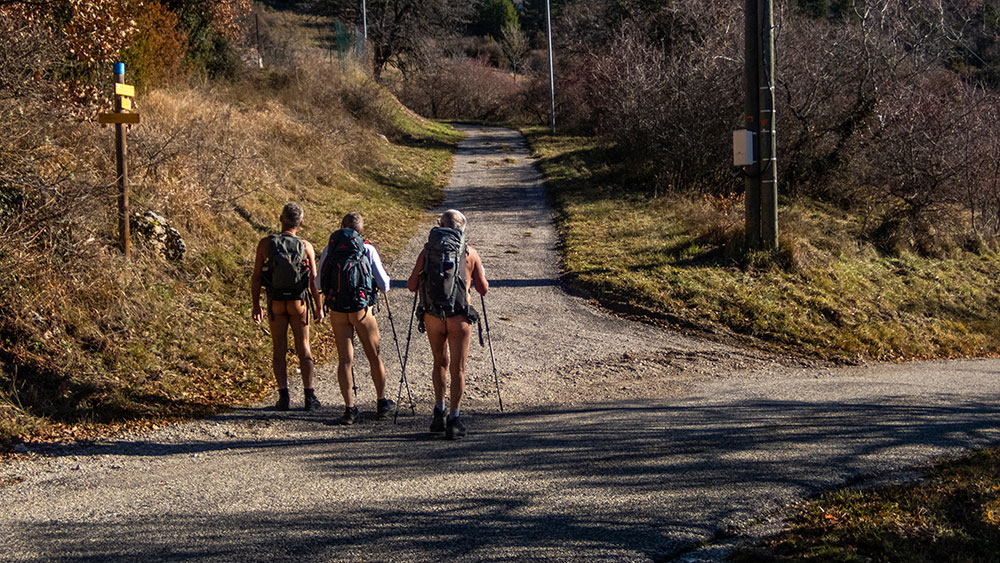
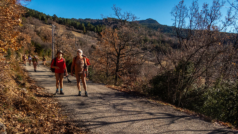
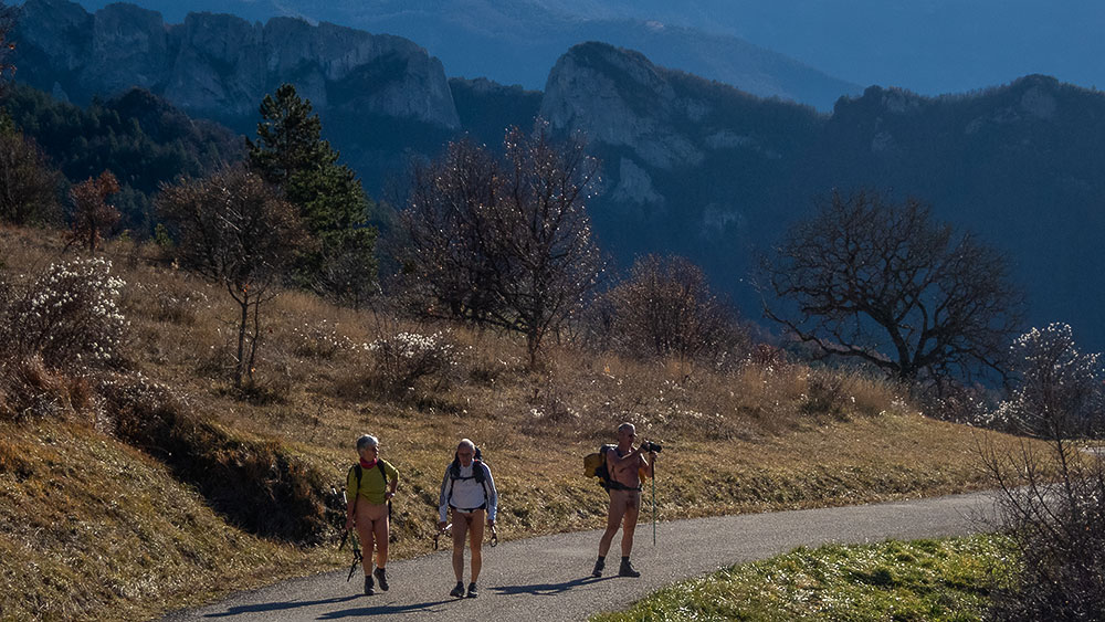
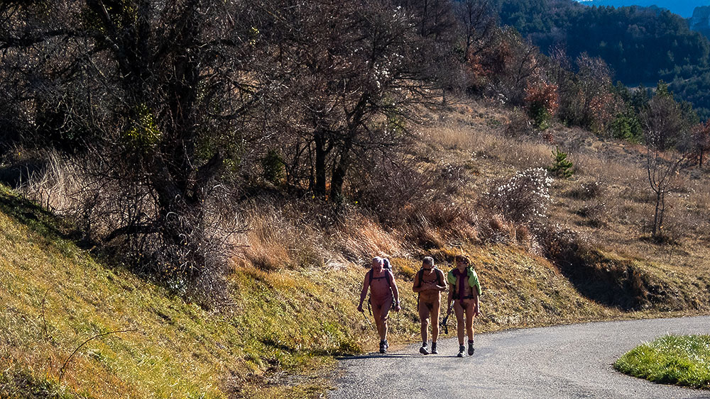
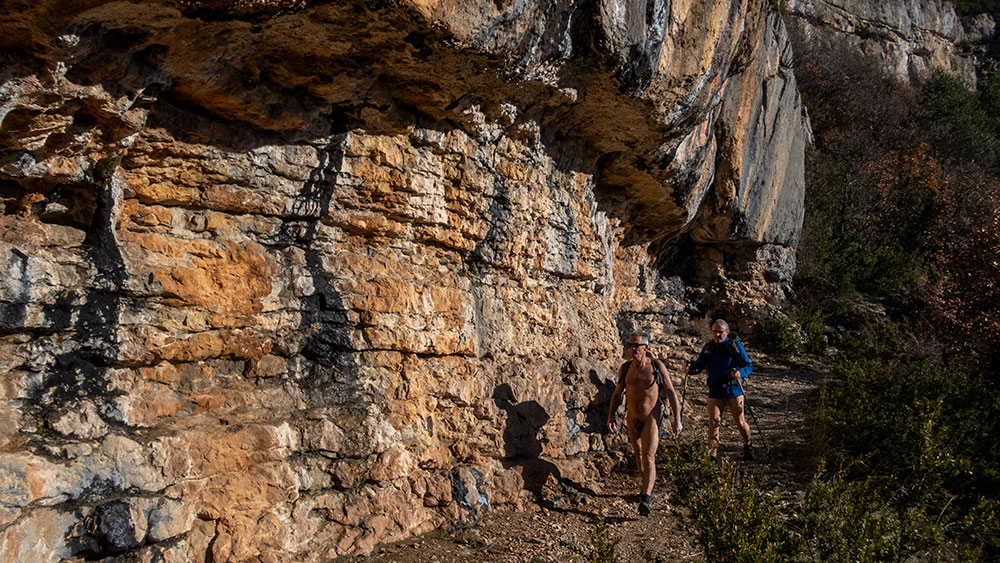
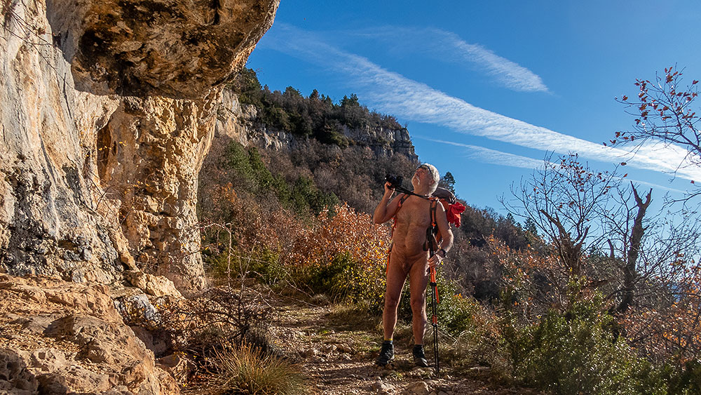
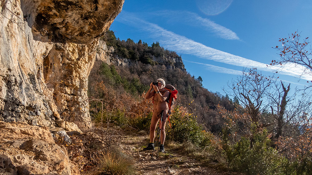
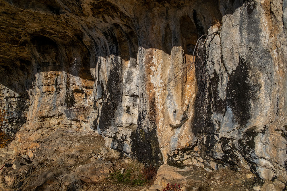
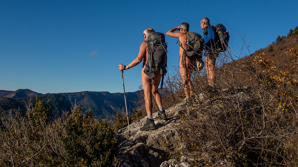
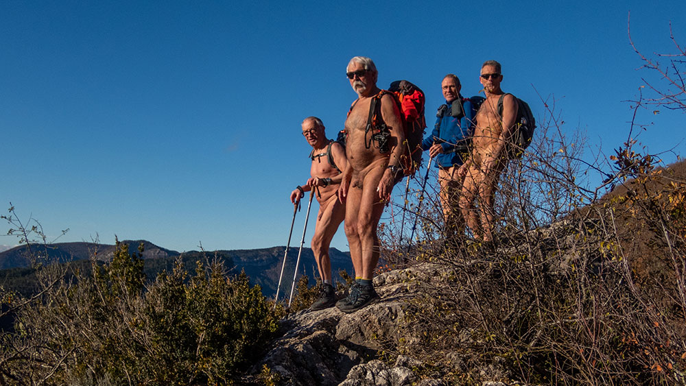
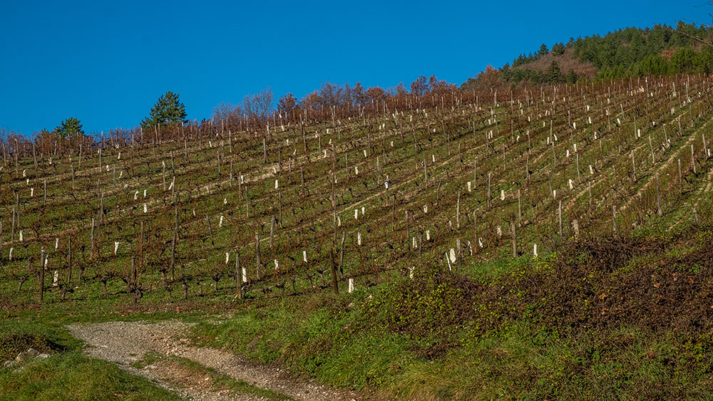
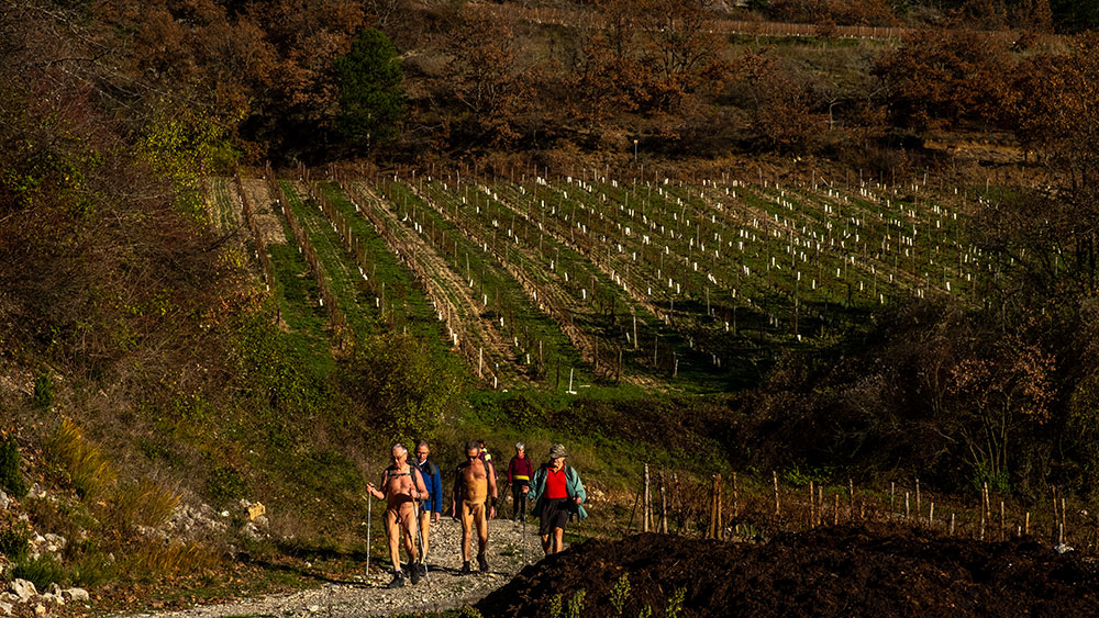
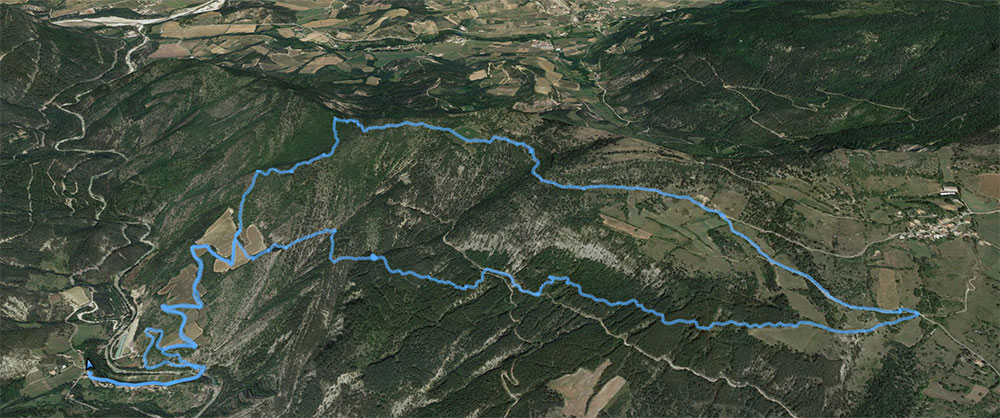
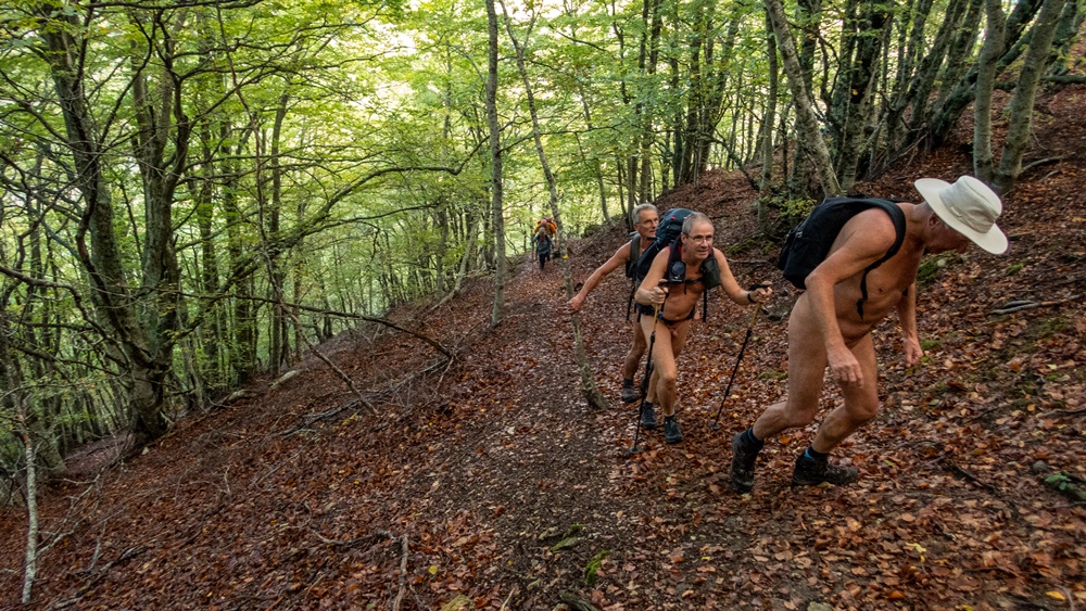
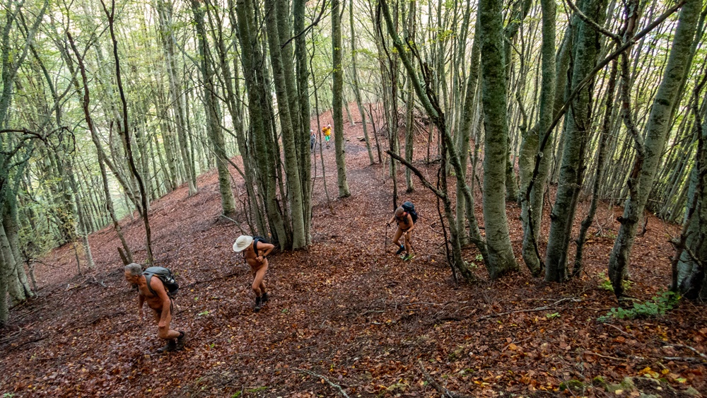
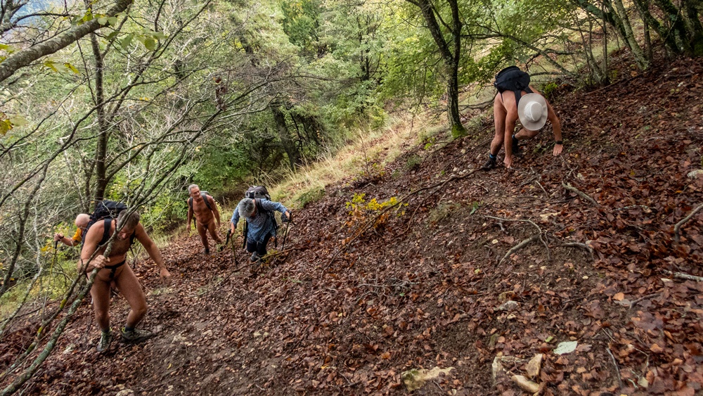
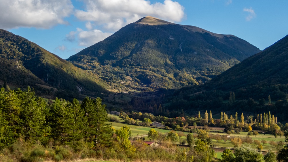
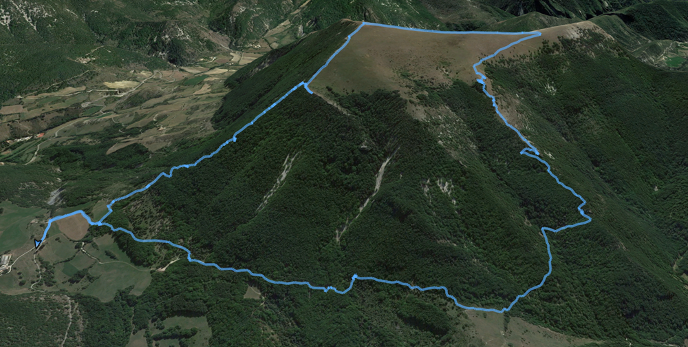
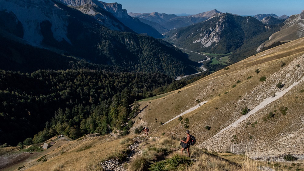
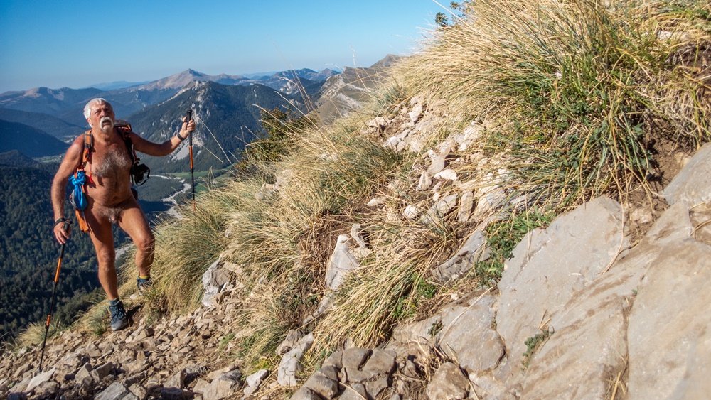
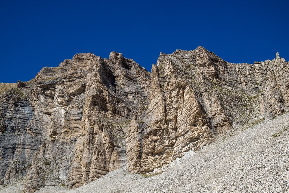
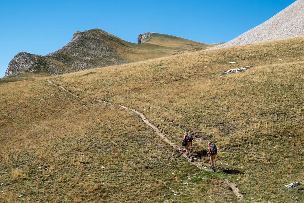
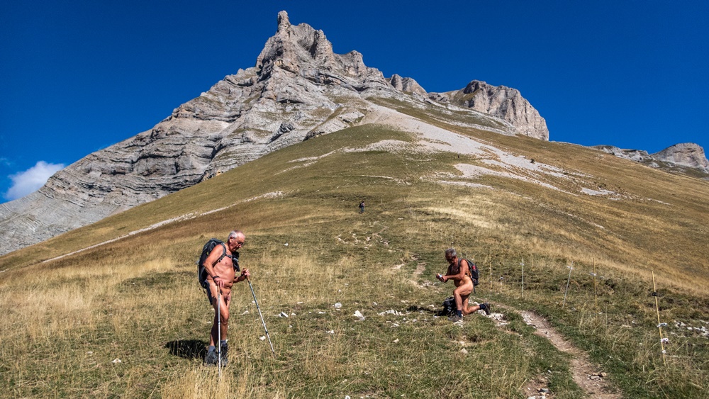
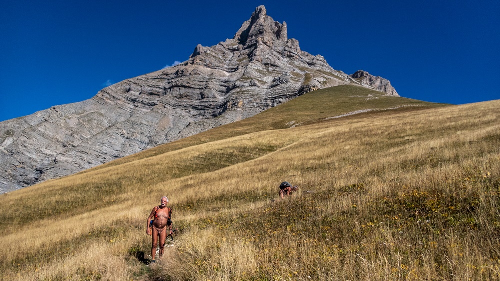
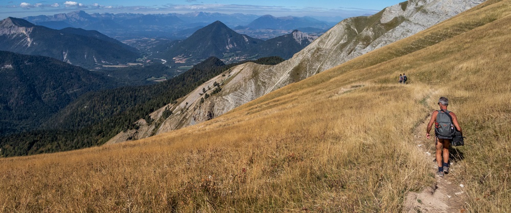
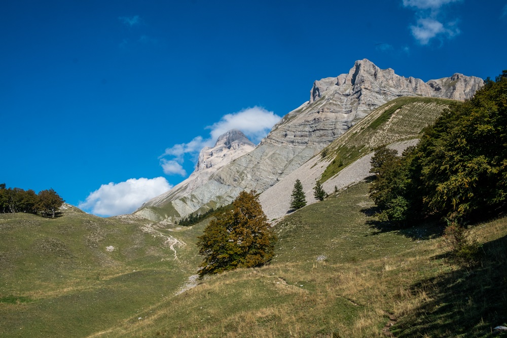
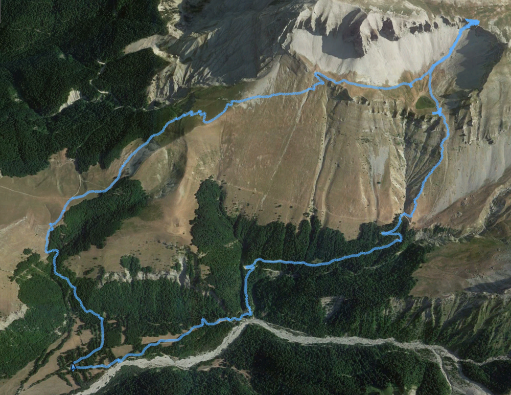
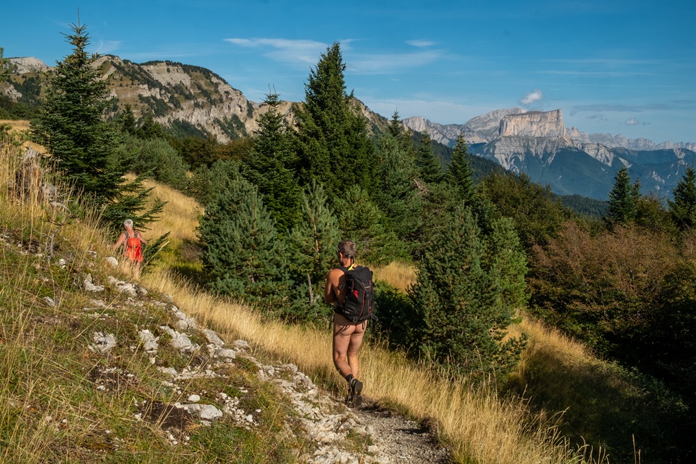
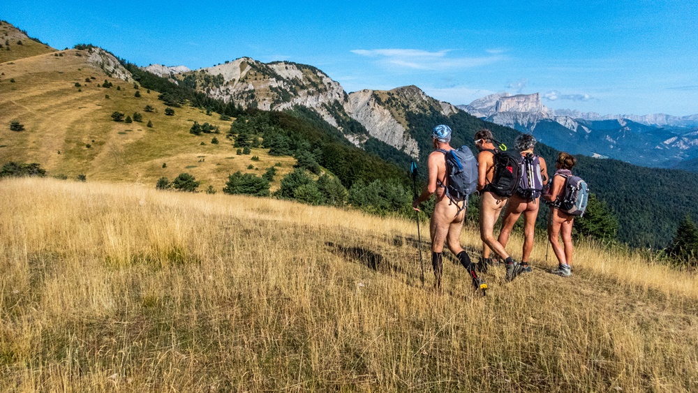
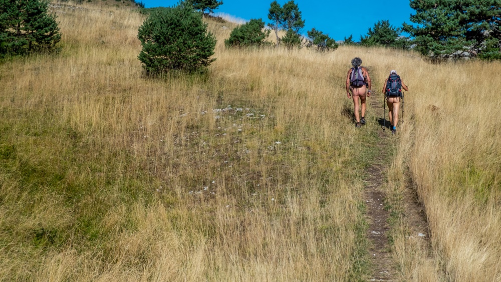
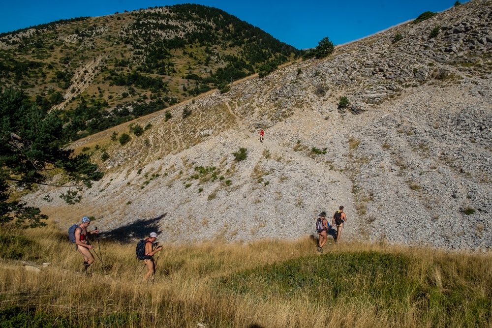
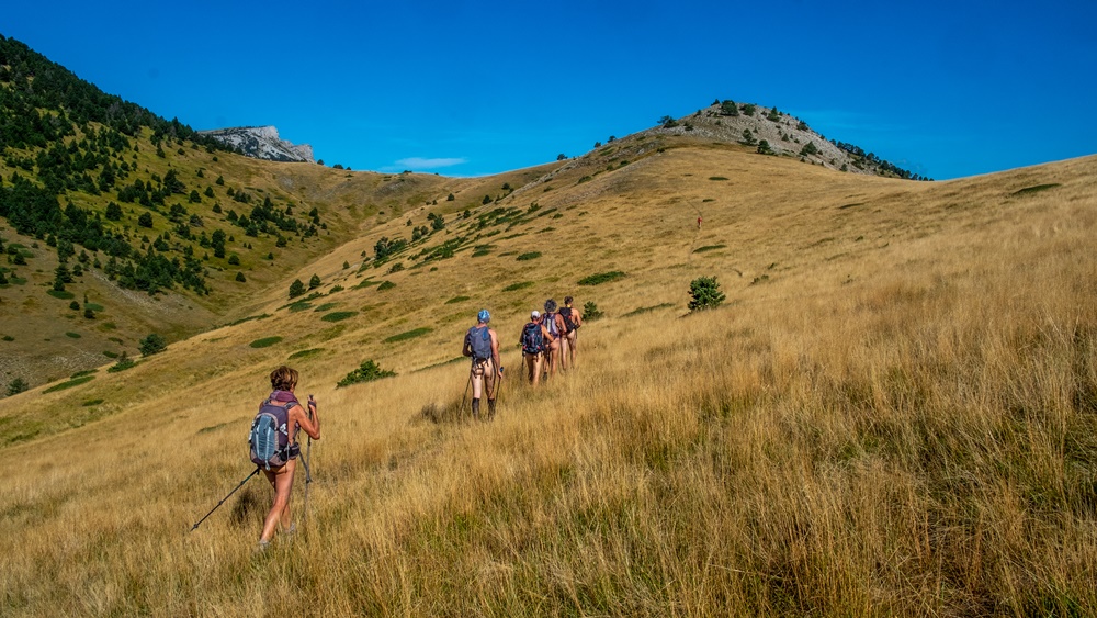
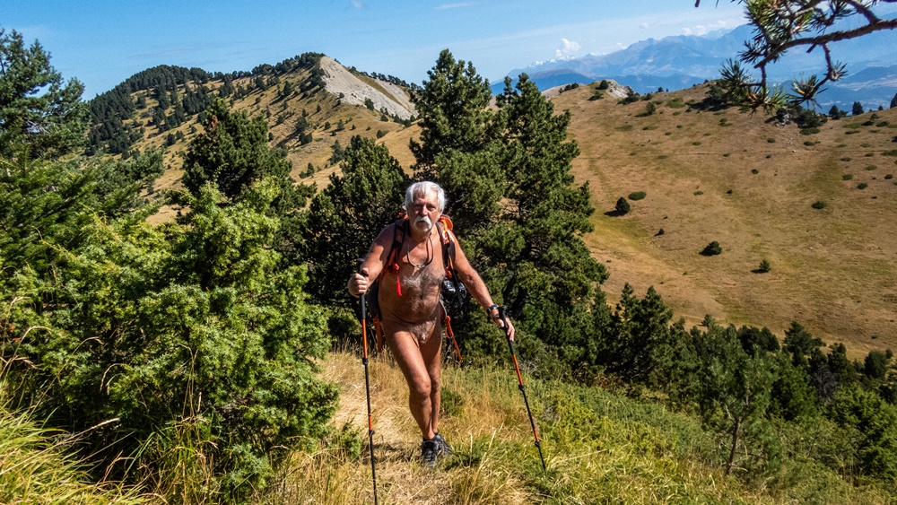
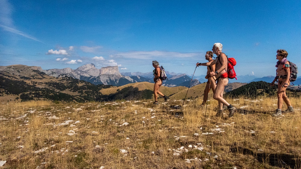
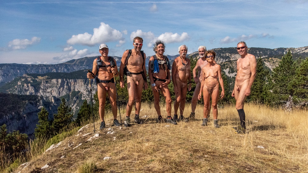
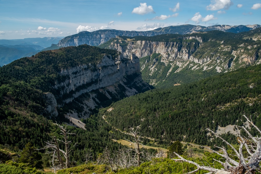
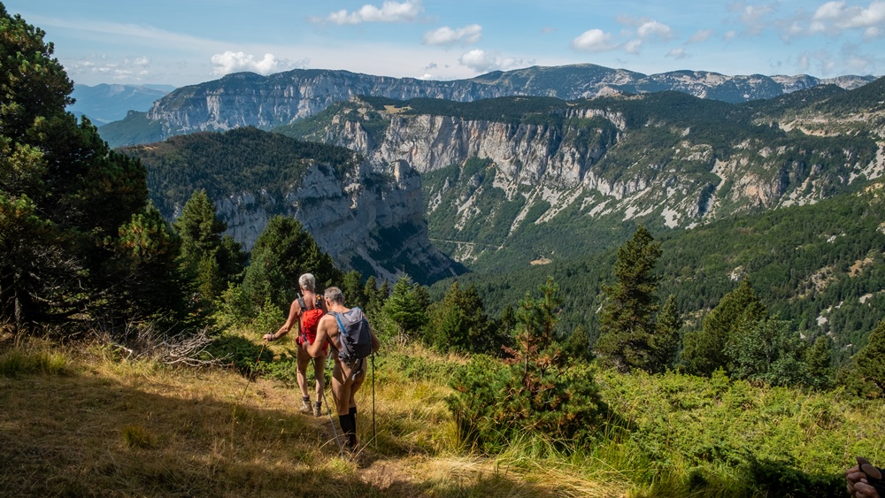
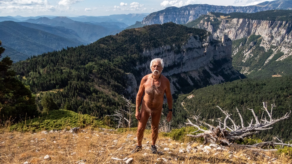
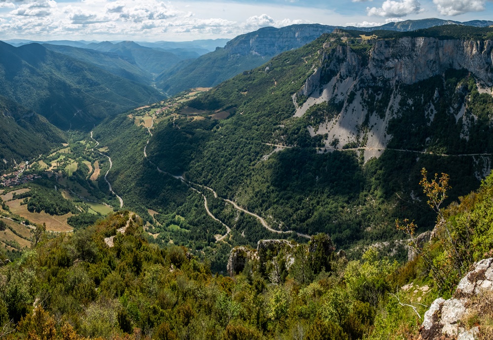
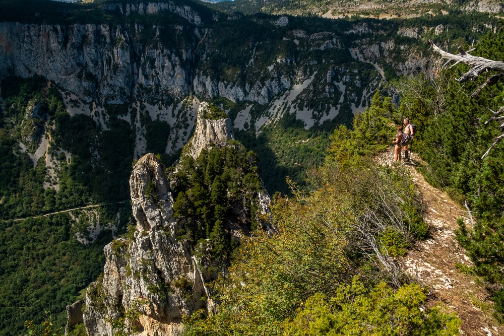
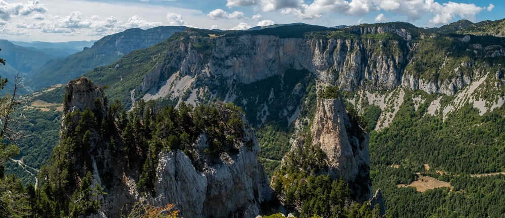
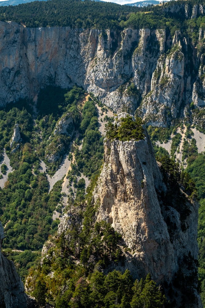
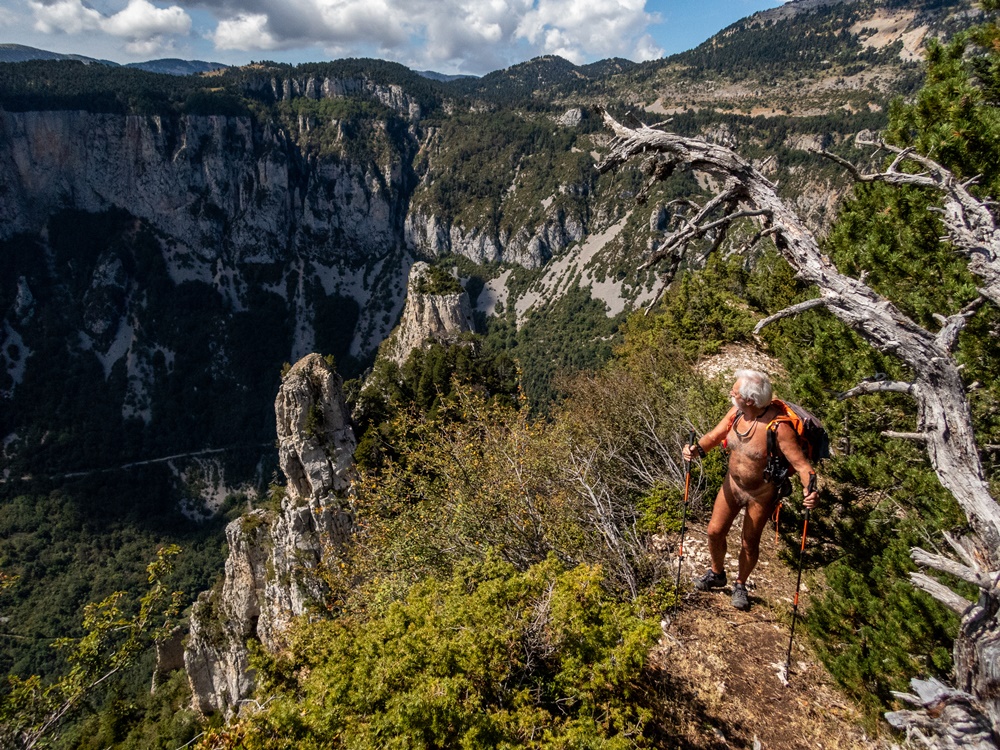
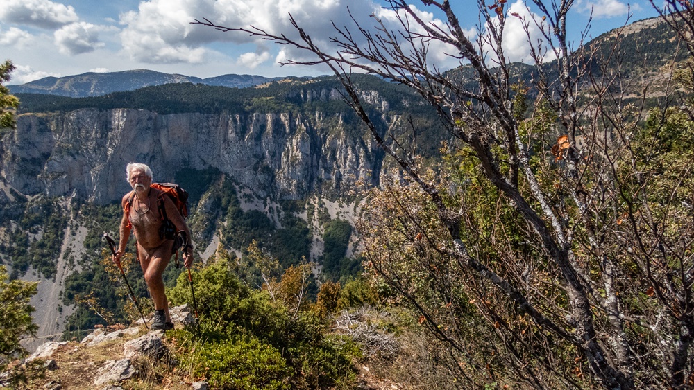
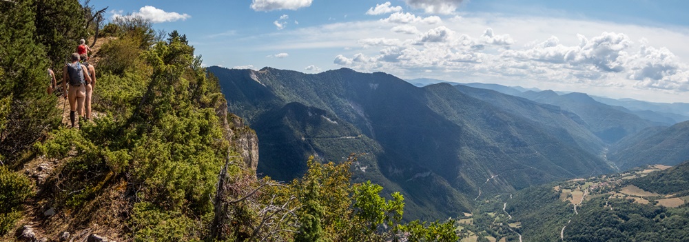
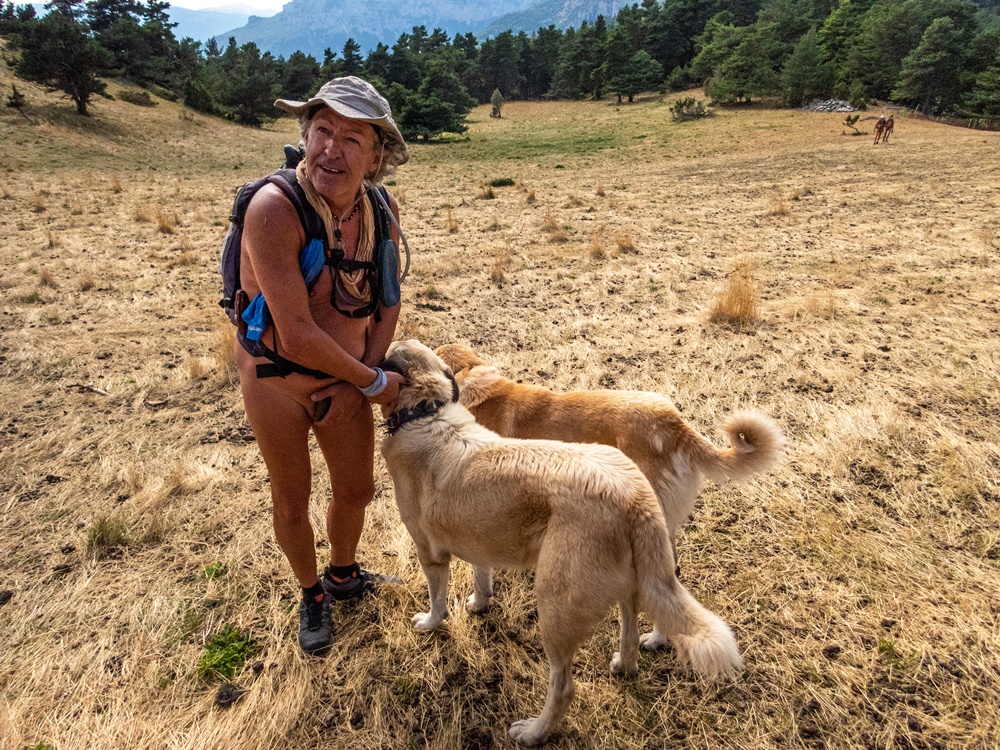
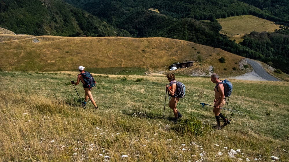
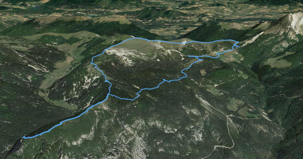
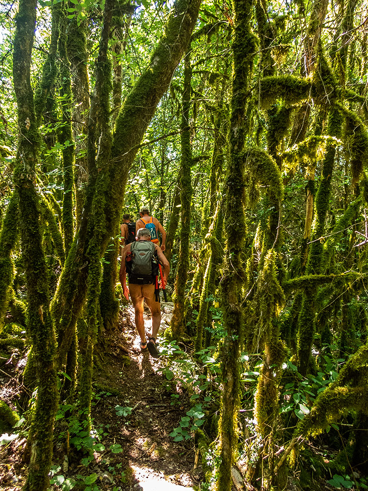
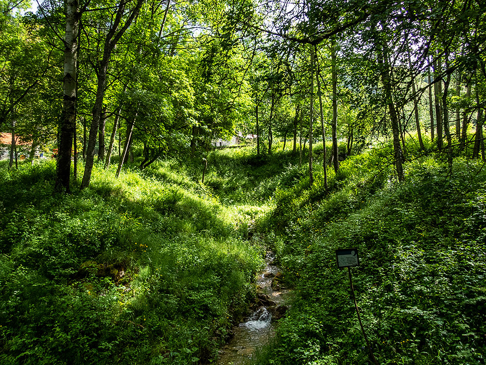
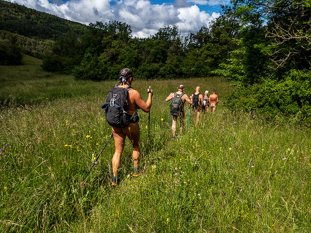
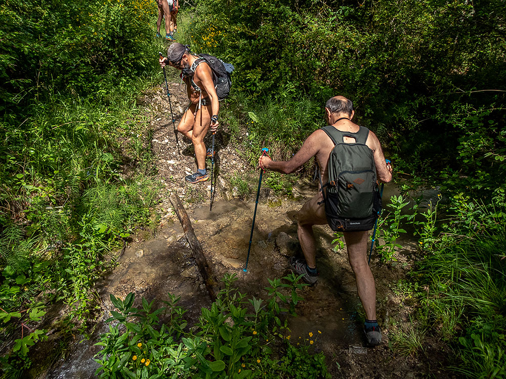
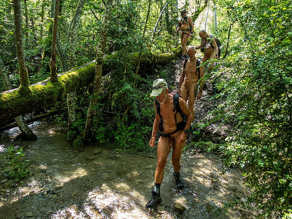
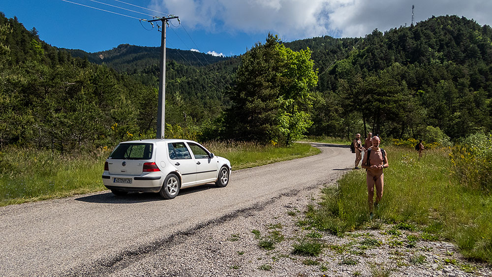
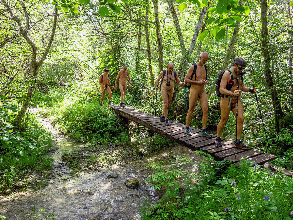
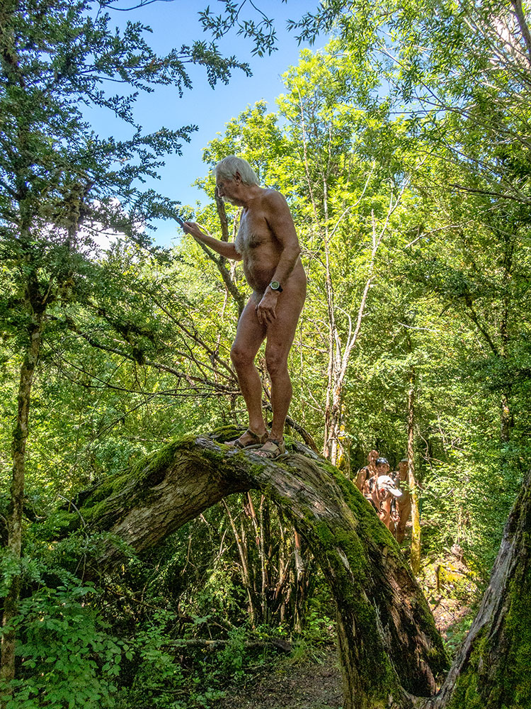
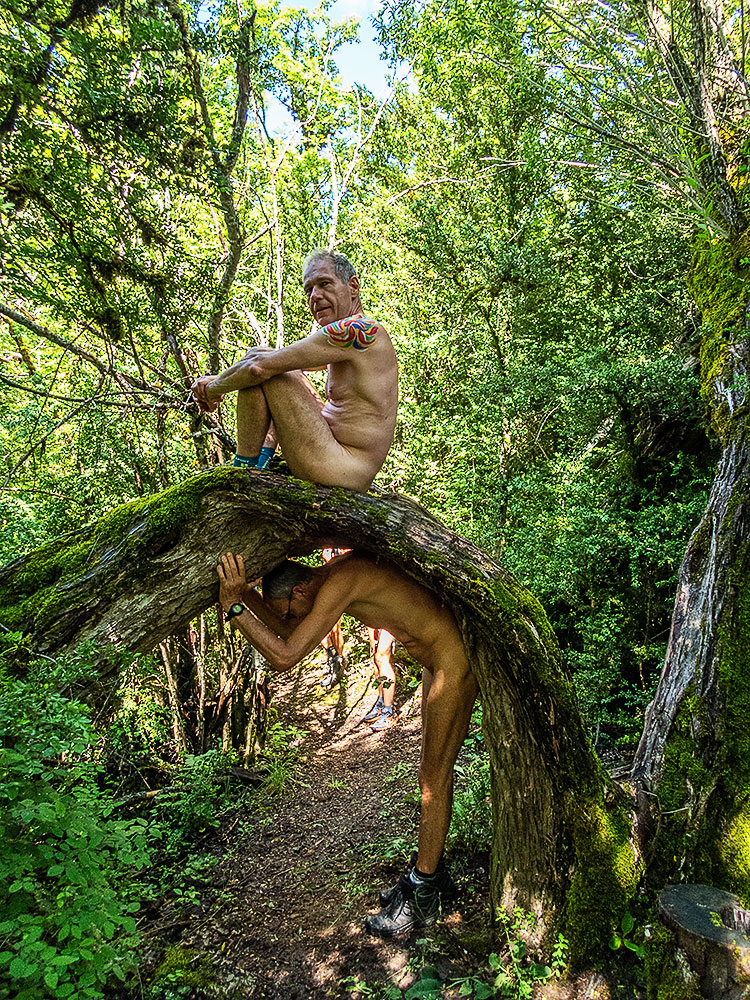
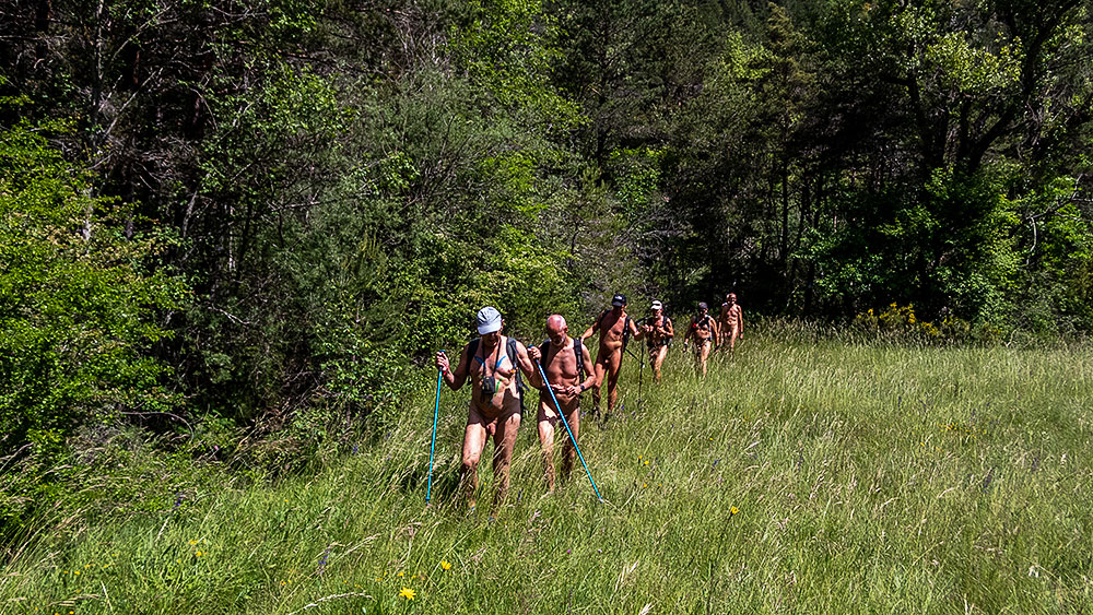
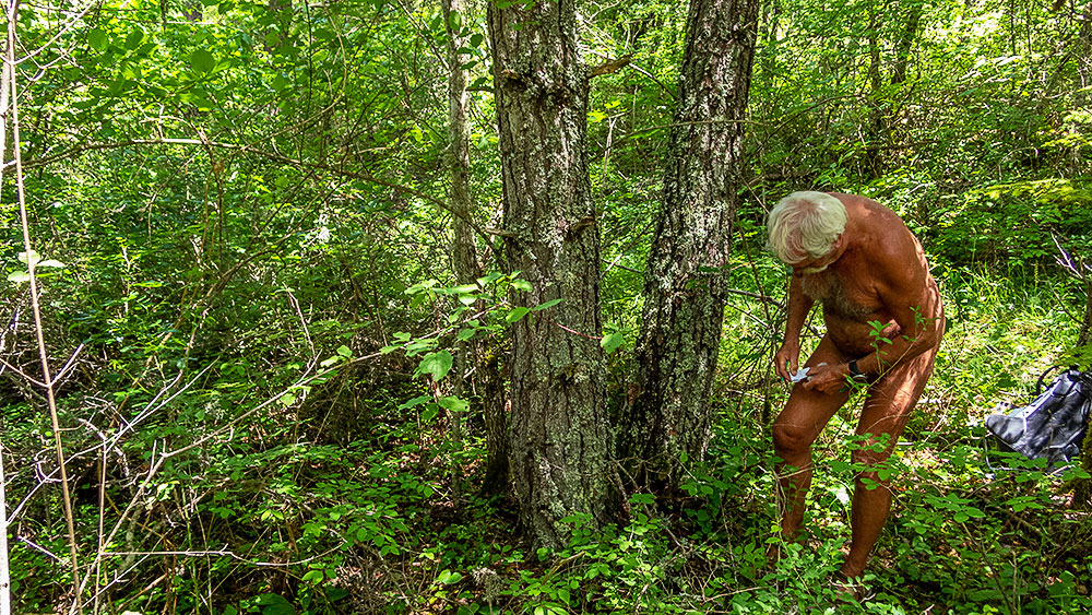
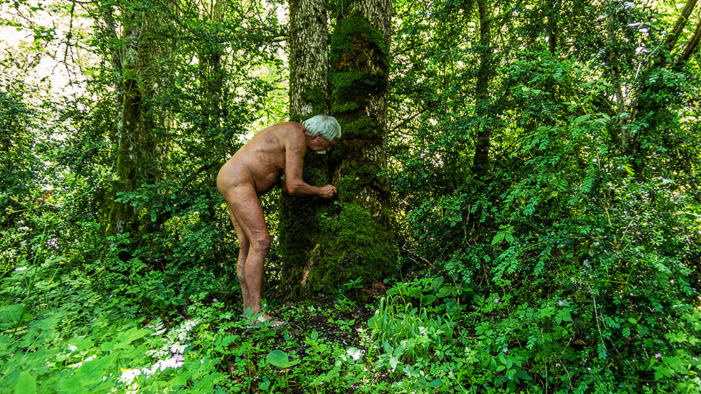
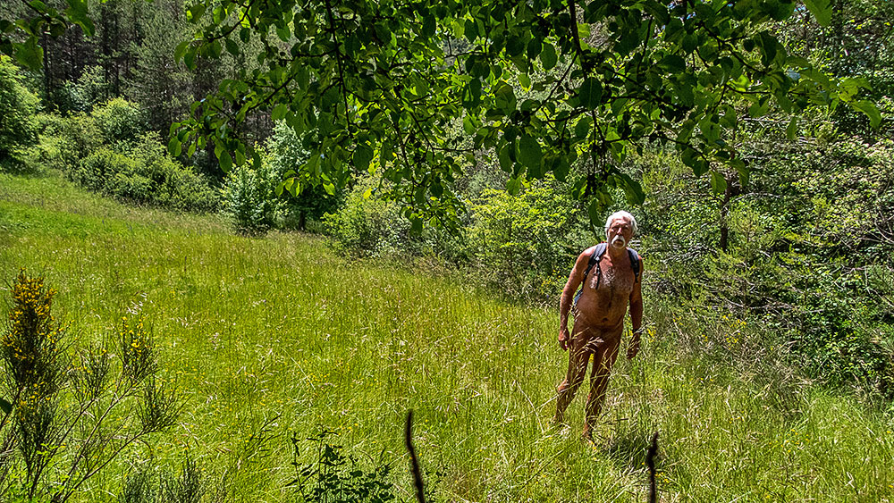
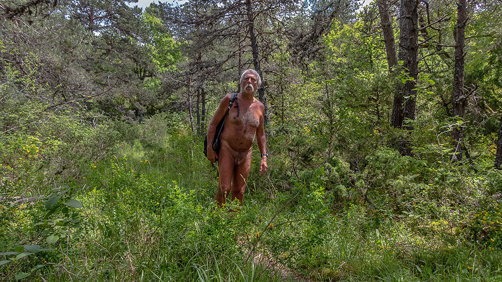
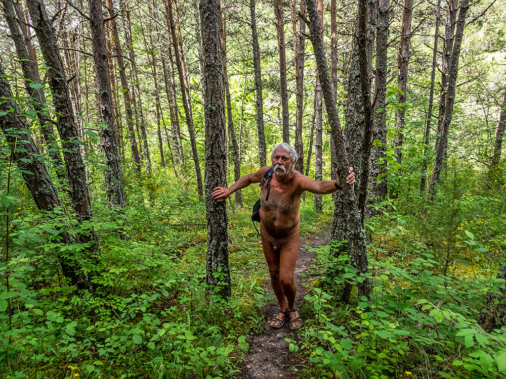
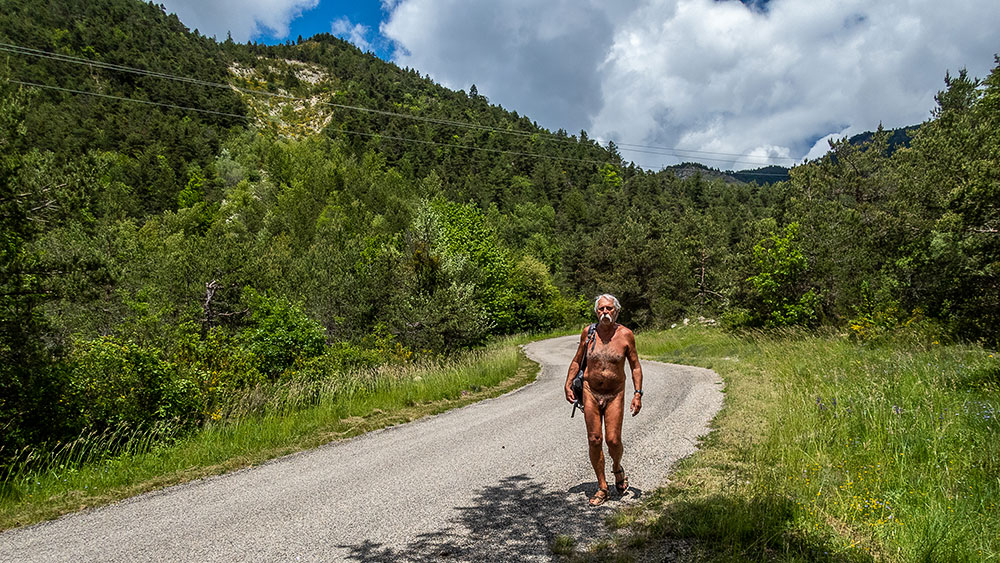
Presque deux mois sans sortie de l’association des Marcheurs Nus du Val de Roanne. C’est que la météo n’a guère été favorable entre pluie et froid. Mais pour cette fin de semaine de mi décembre un créneau optimiste semble se préciser. Alors une invitation est lancée pour le vendredi 15, on verra bien ce qu’il en sera !…Le jours dit on se retrouve à huit au rendez vous, c’est dire si chacun-e était impatient-e de se retrouver en compagnie sur les chemins pour oublier un peu cette entrée dans l’hiver. Le thermomètre ne marque que 7° sur le parking du petit village de Saint Benoît en Diois (26 habitants). Mais en face les vignobles qui s’étagent sur la pente sont inondés de soleil. Passé le creux du ruisseau encore dans l’ombre, on attaque la montée entre les vignes, et vite les premiers se déshabillent. Au sommet le large chemin agricole laisse la place à un étroit sentier qui grimpe ou tire à flanc dans la forêt pour franchir une série de combes. Petit à petit tout le monde se dénude, au moins partiellement. Le paysage s’ouvre sur des champs lorsqu’on arrive à proximité du village de Rimon. On rejoint une route, si peu fréquentée en cette saison que l’on se permet de la suivre sur plusieurs centaines de mètres sans se couvrir jusqu’à prendre dans un virage une piste qui part à l’horizontal sous la ligne de crête. Arrêt pique nique de part et d’autre du chemin assis sur des rochers ou dans l’herbe. Clairette pour fêter ce qui sera la dernière sortie de l’année de l’association. On longe le pied de barres rocheuses colorées, le sentier commence ensuite à plonger dans la forêt en direction de pas de la Pousterle puis de façon plus raide vers les vignes que l’on a quitté dans la matinée. La boucle ainsi fermée, il ne reste plus qu‘à descendre tranquillement en profitant encore du soleil alors que le village lui est déjà passé dans l’ombre. On se rhabillera bien à contrecœur juste avant de passer nous même dans l’ombre.


Almost two months without an outing for the Val de Roanne Naked Walkers Association. That’s because the weather hasn’t been favorable, with rain and cold. But for this mid-December weekend, an optimistic window of opportunity seems to be opening up. So an invitation was issued for Friday the 15th, and we’ll just have to see what happens!… On the day in question, eight of us turned up for the meeting, and everyone was eager to get out on the trails and forget the onset of winter for a while. The thermometer only registers 7°C in the parking lot of the small village of Saint Benoît en Diois (population 26). But across the hillside, the vineyards are bathed in sunshine. Past the hollow of the stream, still in shadow, we start the climb through the vines, and soon the first ones are stripping off. At the summit, the wide farm track gives way to a narrow path that climbs or shoots steeply through the forest to cross a series of combes. Gradually, everyone is stripped, at least partially. The landscape opens out onto fields as we approach the village of Rimon. We join a road, so little used at this time of year that we take the liberty of following it for several hundred meters without covering ourselves until, at a bend, we take a track that runs horizontally under the ridge line. Picnic stops on either side of the path, sitting on rocks or grass. Clairette to celebrate what will be the association’s last outing of the year. Skirting the foot of colorful rocky bars, the path then begins to plunge into the forest towards the pas de la Pousterle, then steeper towards the vineyards we left in the morning. With the loop now closed, all that remains is a leisurely descent, still enjoying the sunshine, while the village has already passed into the shade. We’ll reluctantly get dressed just before passing into the shade ourselves.

Mielandre

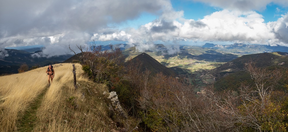
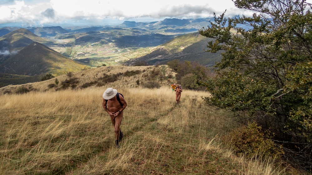
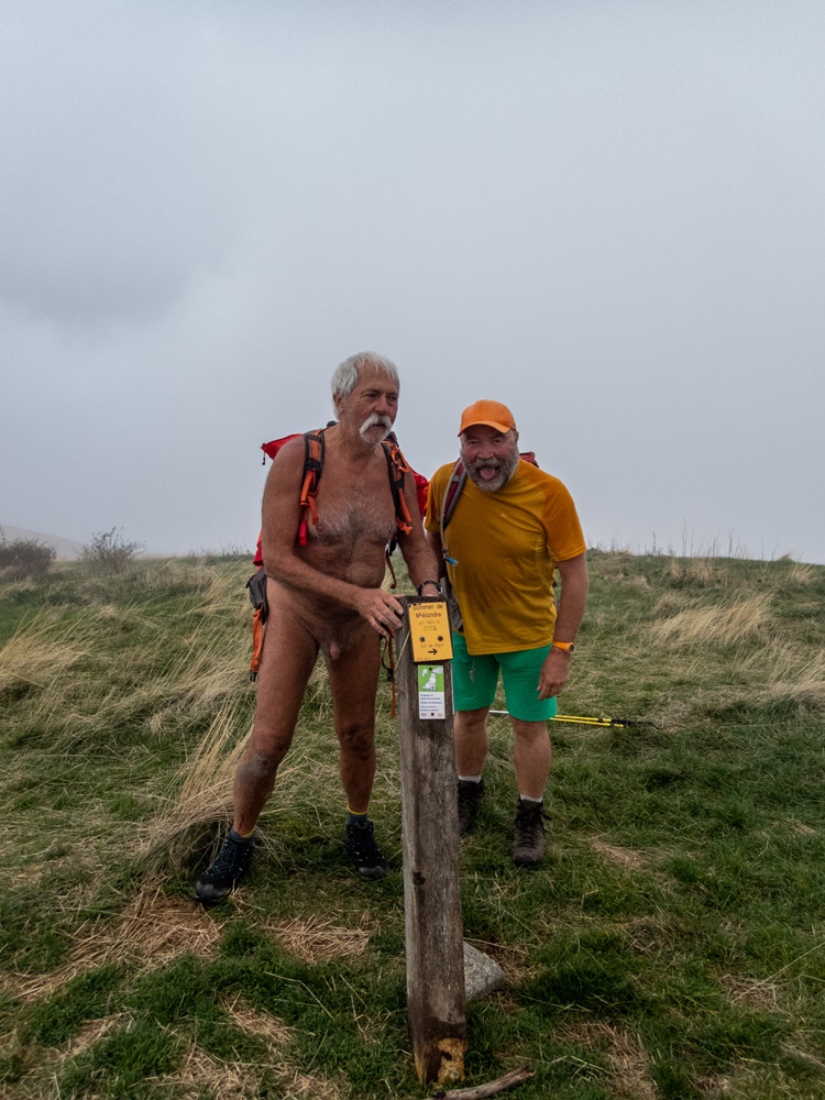
Sillon est une manifestation multiculturelle qui mêle, deux semaines durant, expositions de plasticiens et artisans d’arts et conférences ou rencontres autour de l’écologie et les développements doux dans un petit territoire de la Drôme dans les environs des villages de Bourdeaux et de Saou. Et au programme est inscrit une randonnue avec l’association des Marcheurs Nus du Val de Roanne ! Pour rester proche de ce territoire nous avons choisi comme but la montagne de Mielandre. Ce sera pour nous aussi une découverte.

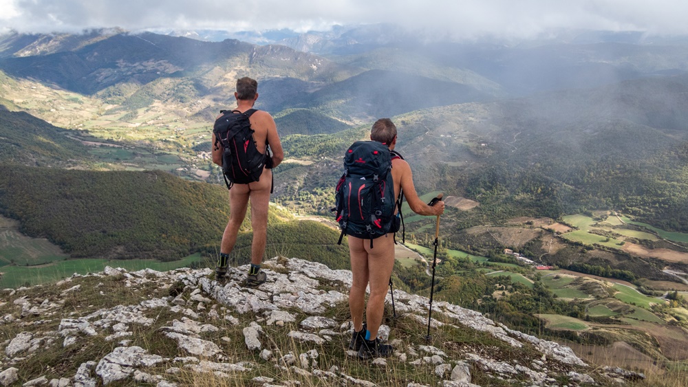
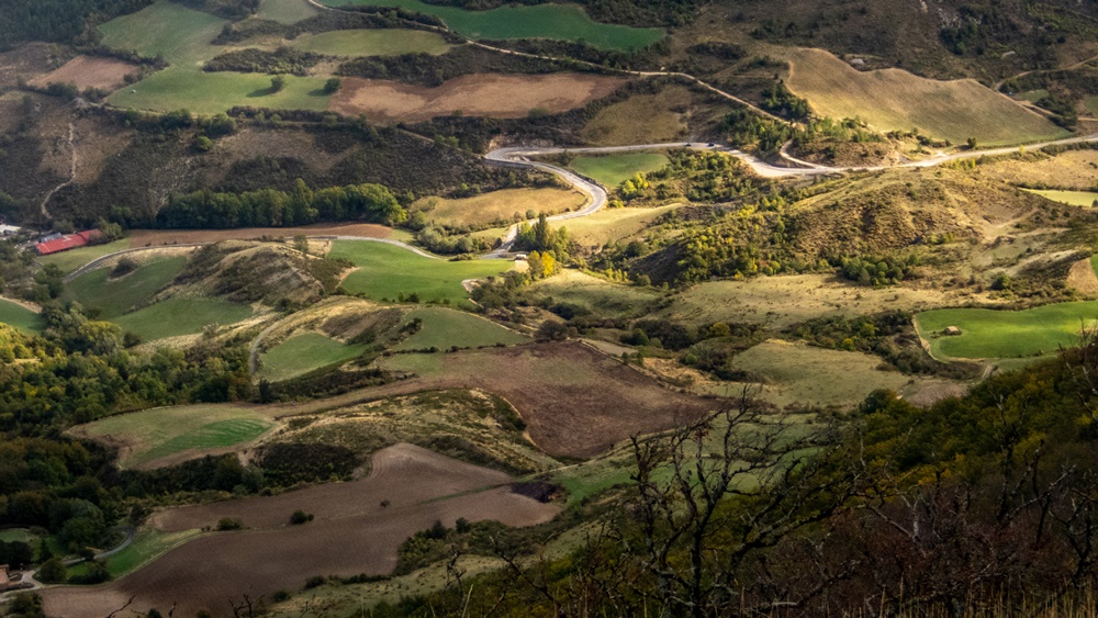
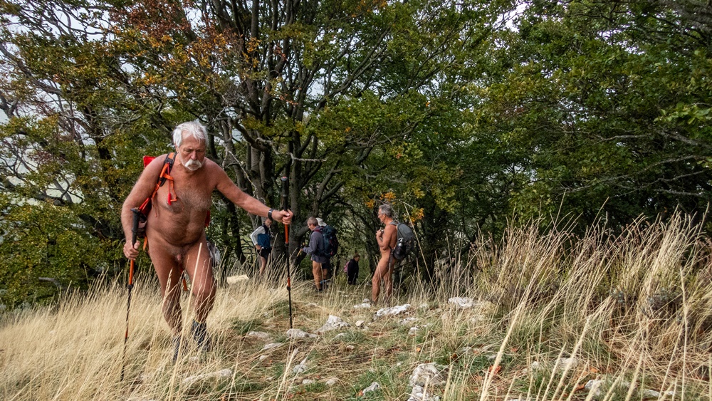
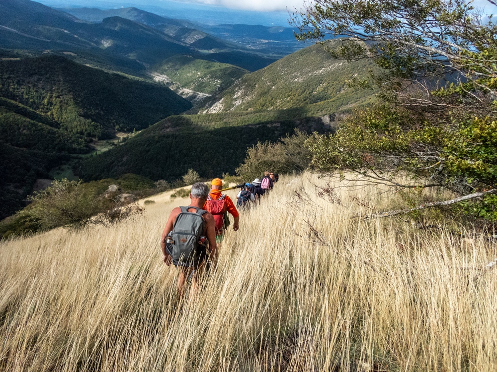
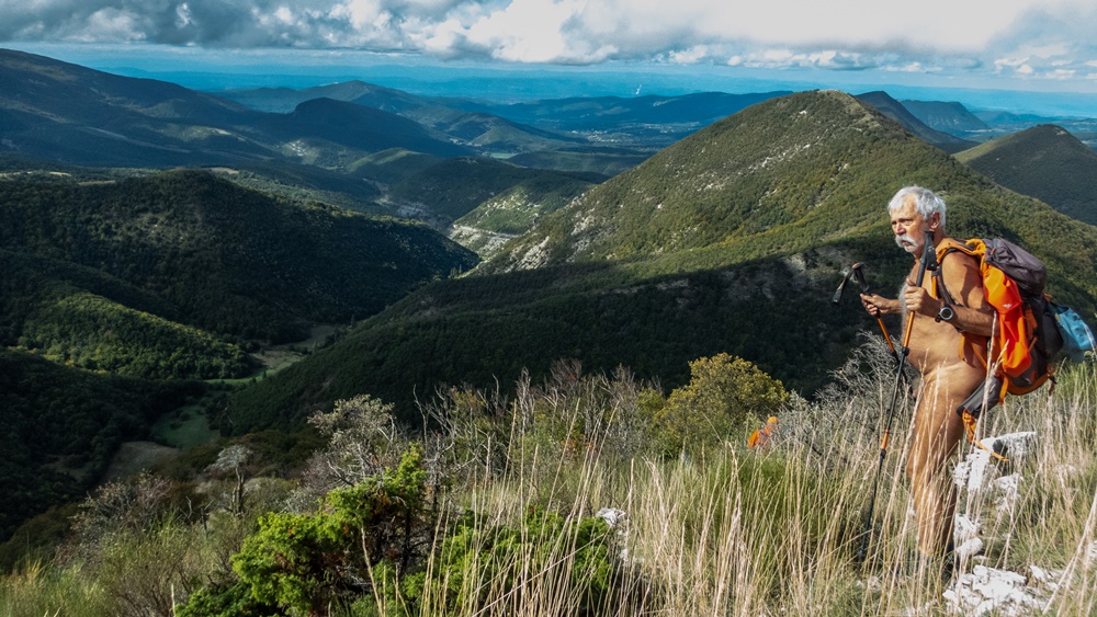
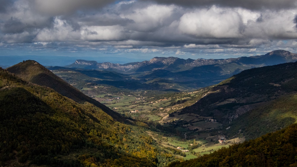
A l’heure dite nous nous retrouvons à six de l’association (Loïc, Francis, Christian, Robert, Corinne et moi) au col d’Espréaux au terminus de la petite route qui ne va pas plus loin. Arrive juste après nous Emmanuel et Geneviève, un couple de naturistes mais qui n’ont encore jamais fait de randonnue, attirés là par le programme de Sillon. La météo n’est pas parfaite, le ciel est en partie couvert et il fait encore frais : on est mi octobre. On se met vite en marche, encore habillés. On longe des champs puis on rentre dans la forêt. A un poteau directionnel il faut choisir : Mielandre par le col plat ou Mielandre direct. D’après la carte ce trajet direct risque d’être plus raide, mais aussi plus pénible en descente. A faire donc à la montée. Et c’est vrai que la montée est rude car après la pluie d’hier le sol est particulièrement glissant. Un pas en avant et on glisse d’autant en arrière, quitte à se retrouver par terre. On peut s’agripper aux arbres, aux racines ou à une main charitable ou même franchir des passages à quatre pattes. Mais on s’élève vite et en sortant finalement de la forêt on domine les vallées alentour mouchetées d’ombre et de lumière.

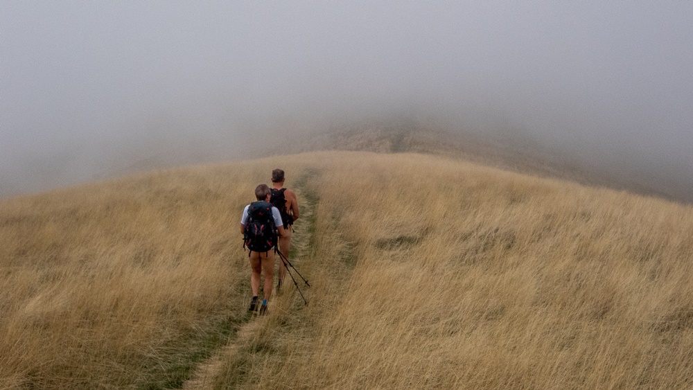
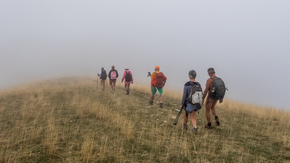
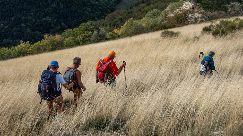
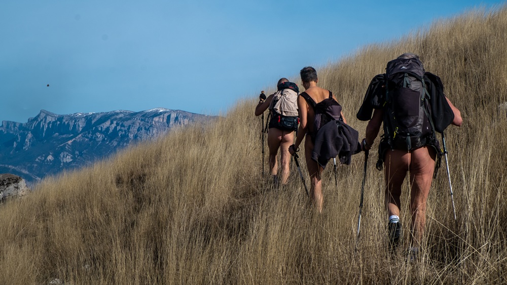
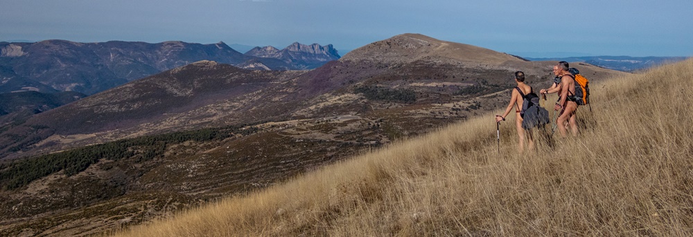
On entre maintenant dans un alpage couvert d’une végétation d’herbes jaunies très hautes. On arrive au sommet en même temps qu’un brouillard de nuages. La température baisse immédiatement. La moitié du groupe se couvre en hâte. On ne s’éternise pas au point culminant, à 1451m d’altitude. On suit une crête descendante. Le brouillard se dissipe. Traversée à flanc dans l’alpage, la végétation nous montant à mi corps. Arrêt pique nique sous des hêtres, à l’abri du vent. On descend tout droit sur une croupe herbeuse, toujours de cette couleur jaune fanée jusqu’à retrouver la forêt. Retour tranquille vers le col d’Espréaux après presque six heures de balade.

On aura sans doute fait deux nouveaux adeptes, qui nous ont promis de revenir, mais au printemps lorsqu’il fera plus chaud, et on a étendue notre zone de pratique vers le sud par rapport au Diois.


Sillon is a multicultural event which, for two weeks, combines exhibitions by visual artists and craftsmen with conferences and meetings on ecology and sustainable development in a small area of the Drôme, near the villages of Bourdeaux and Saou. The program also includes a naked hike with the Val de Roanne Naked Walkers Association! To stay close to the area, we’ve chosen the Mielandre mountain as our goal. It’ll be a discovery for us too.
At the appointed hour, six of us from the association (Loïc, Francis, Christian, Robert, Corinne and I) meet at the Col d’Espréaux, at the end of the small road that goes no further. Just after us arrive Emmanuel and Geneviève, a naturist couple who have never hiked naked before, attracted by Sillon’s program. The weather is not perfect, partly overcast and still cool: it’s mid-October. We set off quickly, still dressed. We skirt fields and then enter the forest. At a signpost you have to choose: Mielandre via the flat pass or Mielandre direct. According to the map, this direct route is likely to be steeper, but also more difficult on the way down. So do it on the way up. And it’s true that the climb is tough, because after yesterday’s rain the ground is particularly slippery. One step forward and you slide backwards just as much, even if it means ending up on the ground. You can hold on to trees, roots or a helping hand, or even crawl over some passages. But you soon climb upwards, and as you finally emerge from the forest, you dominate the surrounding valleys speckled with light and shadow.
You now enter an alpine pasture covered with tall, yellowing grasses. We reach the summit at the same time as a fog of clouds. The temperature drops immediately. Half the group hastily cover up. We don’t stay long at the highest point, at 1451m. We follow a descending ridge. The fog clears. We cross the mountain pasture on the flanks, the vegetation rising halfway up our bodies. Picnic stop under beech trees, sheltered from the wind. Straight down onto a grassy ridge, still the same faded yellow color, until we return to the forest. A leisurely return to the Col d’Espréaux after almost six hours.
We’ve undoubtedly made two new adepts, who have promised to return, but in spring when it’s warmer, and we’ve extended our practice area southwards in relation to the Diois.

Col de Charnier

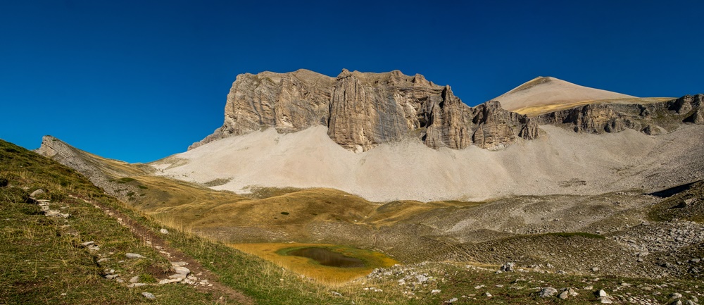
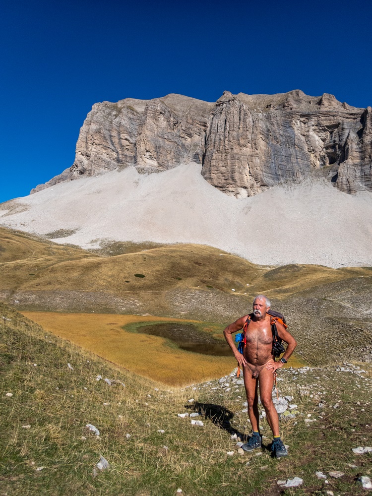
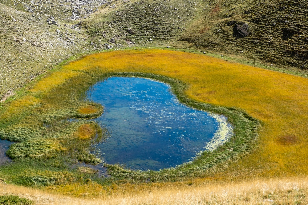
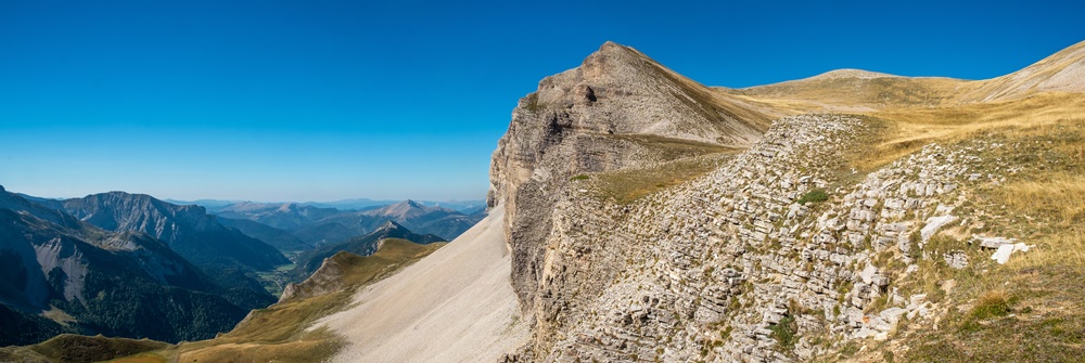
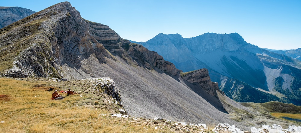
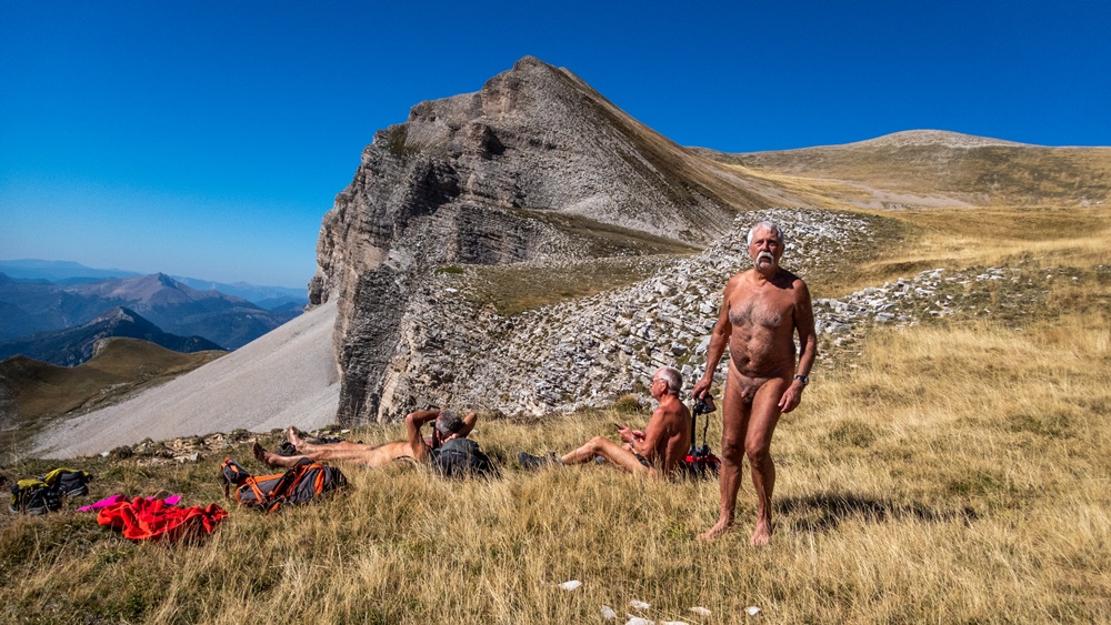
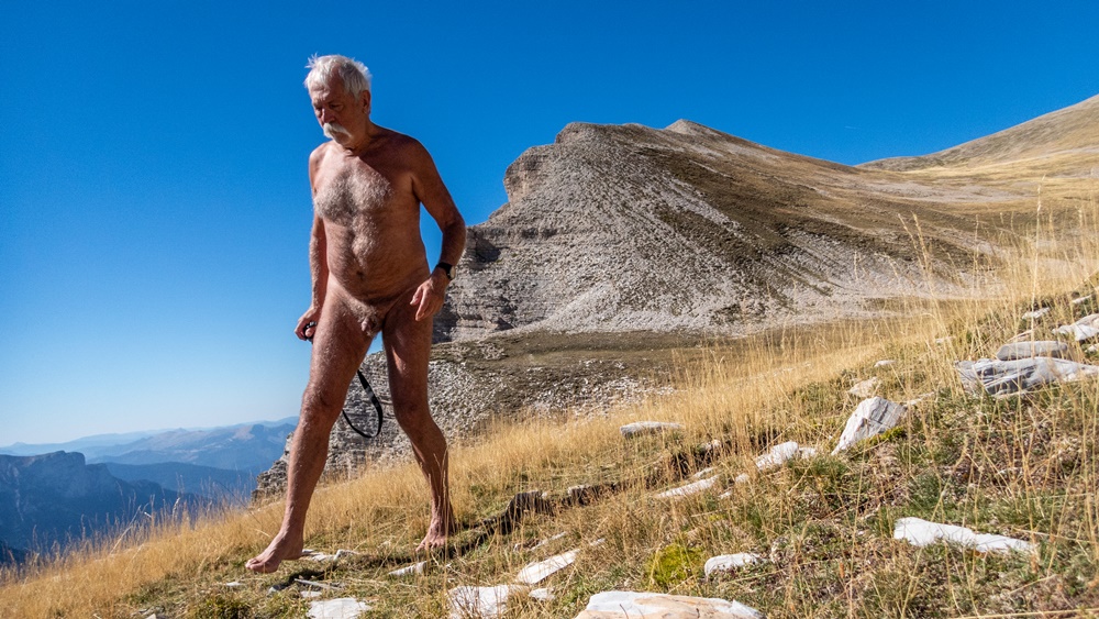
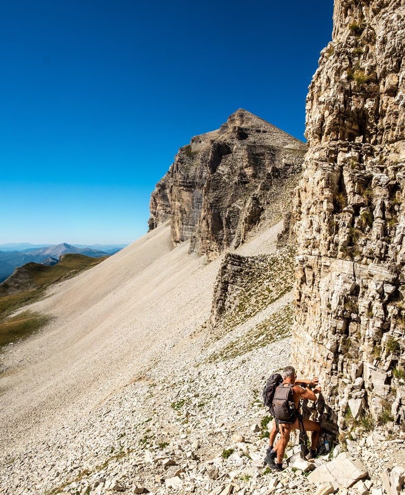
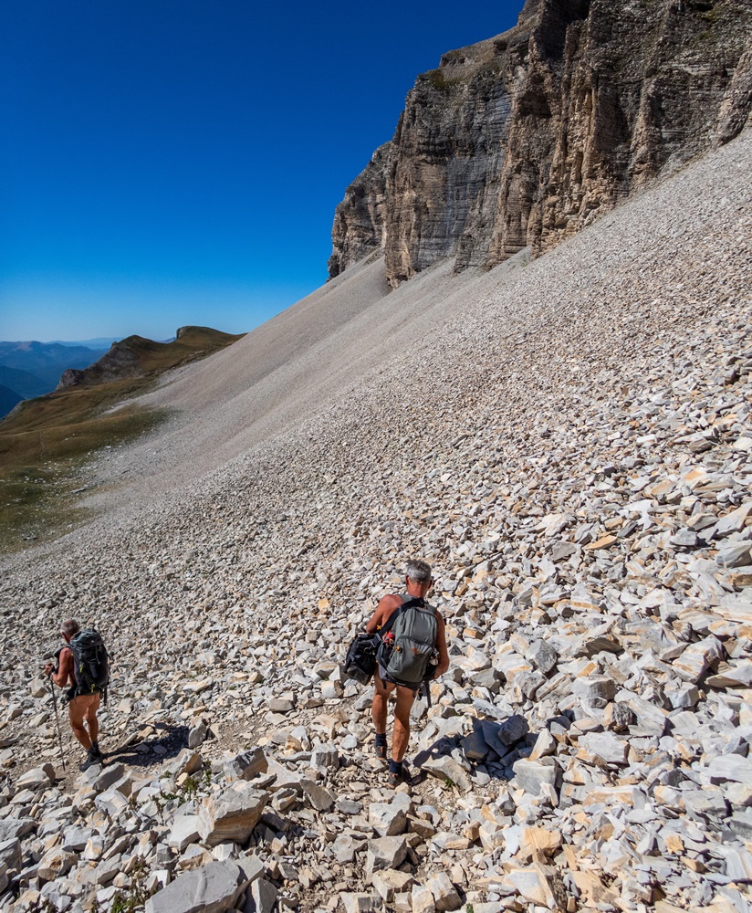
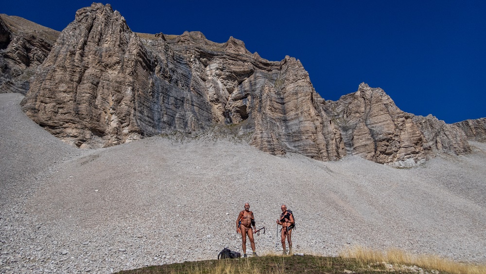
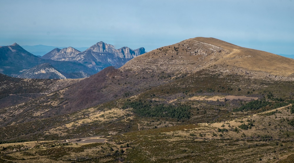
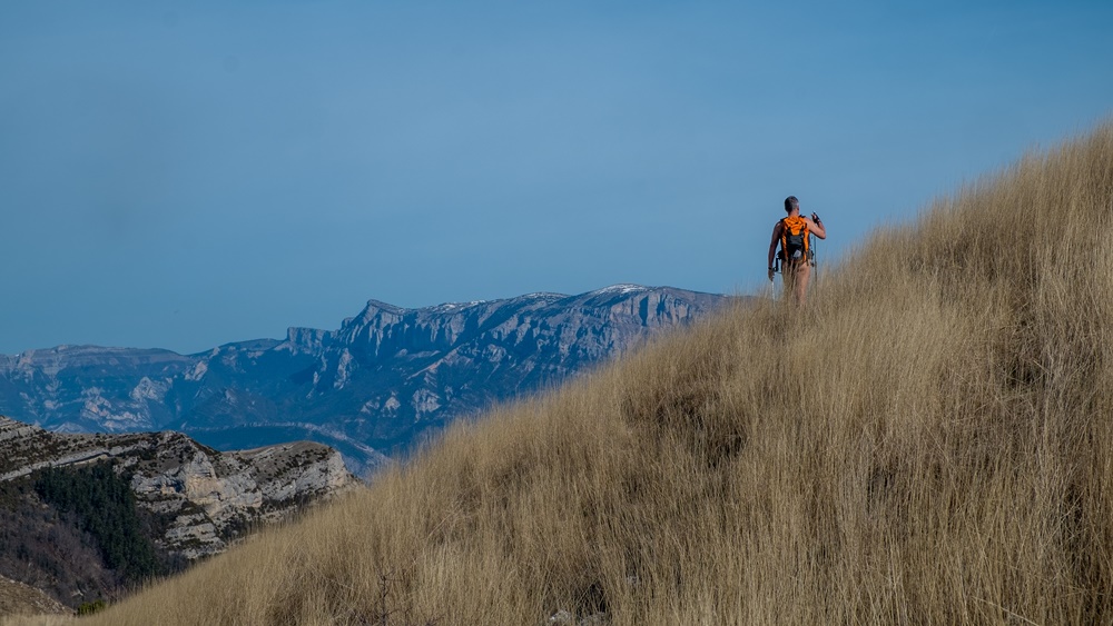
Fin septembre et pourtant un temps estival. Nous sommes trois, avec Robert et Christian, pour une rando d’entretien du balisage du GR93 entre le col de Charnier et le col de la Croix, à la limite de la Drôme et des Hautes Alpes. L’association des Marcheurs Nus du Val de Roanne a repris cette année la responsabilité du suivi de cette section de l’itinéraire. C’est notre premier coup d’œil sur ce terrain. Un terrain qu’il faut déjà atteindre par une montée bien raide de sept cent mètres de dénivelé pour arriver au petit lac du Lauzon puis continuer dans un pierrier encore deux cent cinquante mètres jusqu’au col de Charnier. On fera le balisage à la descente. L’ascension a été rude mais quelle récompense. Le panorama s’étend du Vercors au Dévoluy avec les falaises découpées de la Tête de Lauzon tout près qui domine l’énorme pierrier que l’on vient de franchir. Une luminosité qui illumine même les lointains. Un replat de pelouse alpine qu’il fait bon arpenter les pieds nus. C’est vraiment le paradis.
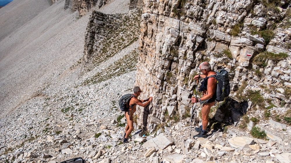
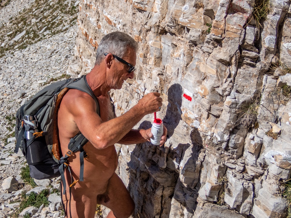
On a été suivi durant la montée par trois personnes qui se sont posées un peu plus loin. Deux autres randonneurs sont arrivés lors de notre pique nique. Après une heure d’arrêt on attaque la descente. Le balisage existant est plutôt bien en place. On rajoute deux ou trois signes et surtout Robert refait à neuf des traces de peintures qui commençaient à s’écailler, usées par les intempéries. On aperçoit un grand groupe qui monte en face de nous. On se couvre sommairement. Le premier arrive, lourdement chargé et chaudement couvert, transpirant sous l’effort. « Bonjour on est des randonneurs naturistes !- Mais vous n’êtes pas nus ! – On s’est couvert par respect – Pas de problème pour nous » On retrouve donc notre tenue. Ils sont une dizaine d’hommes et de femmes, ils arrivent les uns après les autres, fatigué e s mais souriant de nous voir là. Ce sont des marseillais partis pour trois ou quatre jours d’itinérance. « On en voit des comme vous dans les calanques ! » « Vous nous faites envie ! » Quelques minutes d’échanges qui leur permettent aussi de souffler dans leur montée. Un sympathique groupe !

On poursuit notre descente, s’arrêtant de temps à autre pour baliser. A ce rythme on est rejoint par le couple de randonneurs qui passe en échangeant un salut, puis par les trois personnes du matin qui sont plus souriantes en nous voyant maintenant faire ce travail bénéfique à tous. On arrive au col de la Croix. Le GR continue en remontant vers la montagne de France et la Pointe Feuillette, mais cette section là ce sera pour une autre fois. Pour aujourd’hui il ne nous reste plus qu’à descendre par un chemin caillouteux jusqu’à rejoindre le parking.


Late September, but still summery weather. Three of us, along with Robert and Christian, are on a hike to maintain the markings on the GR93 between the Col de Charnier and the Col de la Croix, on the border between the Drôme and Hautes Alpes regions. The Association des Marcheurs Nus du Val de Roanne took over responsibility for this section of the trail this year. This is our first look at the terrain. You’ll have to climb steeply for seven hundred meters to reach the small Lac du Lauzon, then continue through scree for a further two hundred and fifty meters to the Col de Charnier. We’ll mark the way down. It’s been a tough climb, but what a reward. The panorama stretches from the Vercors to the Dévoluy, with the jagged cliffs of the nearby Tête de Lauzon dominating the huge scree we’ve just crossed. A luminosity that illuminates even the far distance. A flat area of alpine grass that’s great to walk on barefoot. It really is paradise.

We were followed on the way up by three people who landed a little further on. Two other hikers arrived during our picnic. After stopping for an hour, we set off downhill. The existing signs are pretty well in place. We add a couple of new signs and, above all, Robert refurbishes some paint marks that were beginning to flake off, worn away by the weather. We spot a large group climbing in front of us. We cover ourselves roughly. The first one arrives, heavily laden and warmly covered, sweating from the effort. « Hello, we’re naturist hikers! – But you’re not naked! – We covered ourselves out of respect – No problem for us ». So we find our clothes. They arrive one after the other, tired but smiling to see us there. They’re people from Marseilles who’ve left for three or four days of roaming. « We see people like you in the calanques! « You make us envious! » We chat for a few minutes, giving them a chance to catch their breath on the way up. What a friendly group!

We continue our descent, stopping from time to time to mark the way. At this pace, we’re joined by a couple of hikers who pass by, exchanging a greeting, and then by the three people from the morning, who smile more as they see us now doing this work that benefits us all. We reach the Col de la Croix. The GR continues up towards Montagne de France and Pointe Feuillette, but that’s a section for another time. For today, all we have to do is descend a stony path to the parking lot.

Chapelle des Sadous

On est trois, Bernard, Robert et moi, pour une randonnue découverte par des chemins qui nous sont encore inconnus au départ du petit village de la Chaudière. L’idée en est venu en consultant des sites internet et les cartes de la région. Bernard a remarqué la présence d’une chapelle en pleine nature, loin de routes d’accès. Ce peut être l’objectif de la sortie !

Le village, quelques maisons, est vite traversé et on se retrouve sur un petit sentier. On s’éloigne à peine et on se déshabille, Bernard gardant encore quelques temps sa chemise.

Dans notre dos s’élèvent les falaises impressionnantes des Trois Becs, notamment son sommet le plus au sud du Veyou. Le chemin suit en descendant légèrement le vallon du ruisseau de la Courance (ou Coulance) dont on entend le murmure de l’eau. Tout au long de la sortie Bernard et Robert herborisent en échangeant leurs connaissances de la flore locale. A une bifurcation il faut prendre à droite. (Bon, on l’a raté mais on s’en est aperçu à temps pour faire demi-tour!). A partir de là c’est une montée bien raide qui nous attends. Le sentier est parfois encombré de ronces qu’il faut élaguer…et aussi de mûres. A l’approche du col de la Beaume on prend à droite un chemin mi descendant mi à flanc qui nous fait changer d’orientation. On a maintenant le sommet de la Servelle de Brette devant nous. On arrive en vue de la chapelle. Dans les environs retentissent des aboiements furieux de chiens de chasse. On ne voudrait pas être pris pour des bêtes à poils ! Devant la chapelle un couple de randonneurs est installé, mais manifestement ils craignent plus les chasseurs que les naturistes ! Une fois qu’ils sont partis, on s’installe pour le pique nique et la visite de l’intérieur du bâtiment, petite chapelle en bon état car restaurée dans les année 80 semble t’il. Après le repas on monte en direction du col de Faraud puis on rejoint la piste forestière, où l’on croise un autre randonneur. Trois véhicules de l’ONF sont garés, l’un deux nous dépassera un peu plus tard. Au col de la Beaume Bernard décide de rentrer par cette piste pour ménager ses genoux. Avec Robert on tente de trouver un sentier qui a dû exister dans le temps puisque marqué sur la carte qui nous permettrait un retour en balcon sur une crête mais la nature a repris sa place et effacé toute trace de cheminement. On se résout donc à finir aussi par la piste qui nous ramène à la Chaudière.

Une belle balade par un temps agréable avec une atmosphère lumineuse qui souligne les panoramas lointains. A inscrire dans le catalogue des sorties des Marcheurs Nus du Val de Roanne !


We’re three – Bernard, Robert and I – on a discovery hike along paths that are still unknown to us, starting from the small village of La Chaudière. The idea for the hike came to us after consulting websites and maps of the region. Bernard noticed a chapel in the middle of nowhere, far from any access roads. This could be the objective of the outing!

The village, with a few houses, is quickly crossed and we find ourselves on a small path. We hardly move away and strip off, Bernard keeping his shirt on for a while longer.

At our backs rise the impressive cliffs of Les Trois Becs, notably its southernmost peak, Le Veyou. The path gently descends into the valley of the Courance (or Coulance) stream, whose murmuring water can be heard. Throughout the outing, Bernard and Robert exchange herbal knowledge of the local flora. At a fork in the road, turn right (well, we missed it, but noticed in time to make a U-turn!). From here, a steep climb awaits us. The path is sometimes cluttered with brambles that need pruning…and blackberries too. As we approach the Col de la Beaume, we take a right-hand path, half downhill, half sideways, which changes our direction. We now have the summit of Servelle de Brette in front of us. We come within sight of the chapel. Furious barking of hunting dogs can be heard nearby. We wouldn’t want to be mistaken for furry beasts! In front of the chapel there’s a couple of hikers, but they’re obviously more afraid of hunters than naturists! Once they’ve gone, we settle in for a picnic and a tour of the interior of the building, a small chapel in good condition since it seems to have been restored in the 80s. After lunch, we head up towards the Col de Faraud, then join the forest track, where we come across another hiker. Three ONF vehicles are parked, one of which overtakes us a little later. At the Col de la Beaume, Bernard decides to return along this track to spare his knees. Robert and I try to find a path that must have existed in the past, since it’s marked on the map, which would allow us to return to a balcony on a ridge, but nature has taken its place and erased all traces of the route. So we decided to finish on the track that takes us back to La Chaudière.

A lovely walk in pleasant weather, with a luminous atmosphere highlighting the distant panoramas. A must for the Val de Roanne Barewalkers’ outings catalog!

Rochers de Combeau

Premier week end de septembre, c’est la fin des vacances estivales ; lundi ce sera la rentrée scolaire ! J’ai donné rendez vous à 9h30 au col de Menée pour une rando soit vers la Tête de Praorzel en suivant les crêtes, balade faites cet hiver en raquettes, soit en direction du Serre de Beaupuy et du col de Côte Chèvre et un retour en boucle par un chemin que je ne connais pas mais qui est marqué sur les cartes.

Yves est déjà là après une nuit sur place dans son camion, Jean Paul et Patricia arrivent aussi de Grenoble, Loîc et Christian de Chatillon et Didier…en moto.

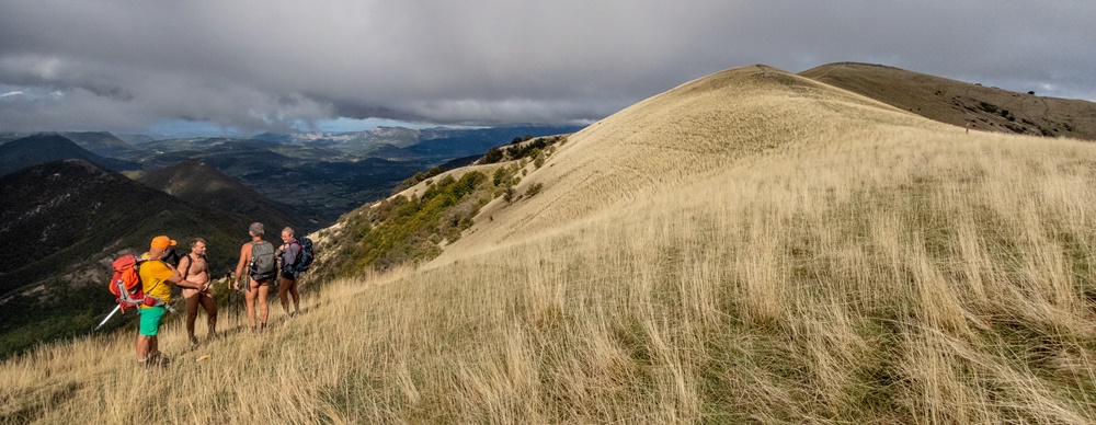
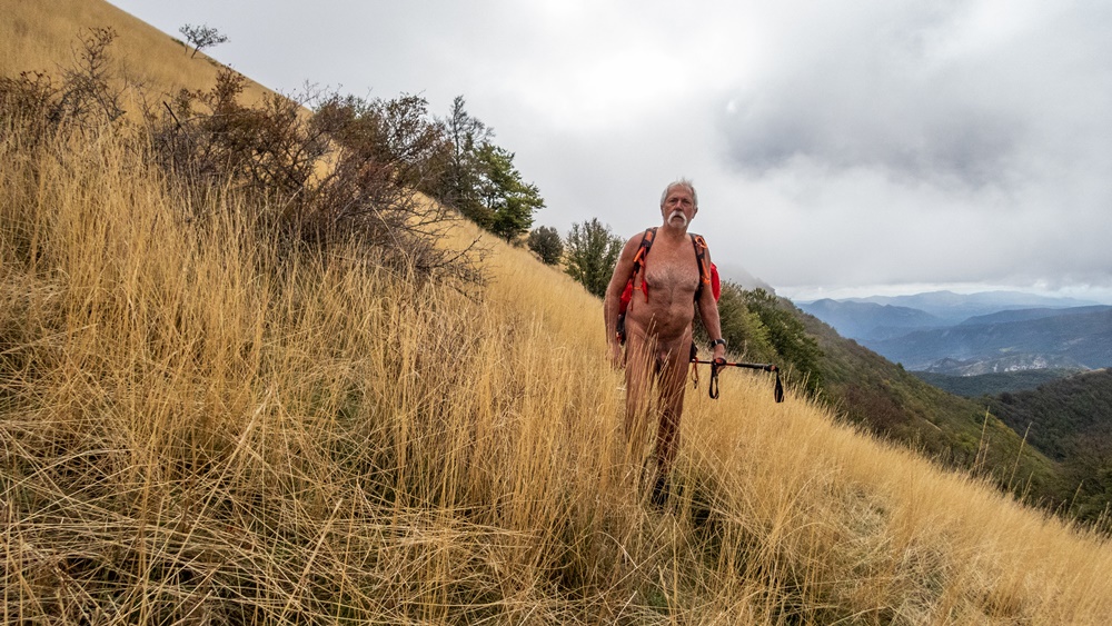
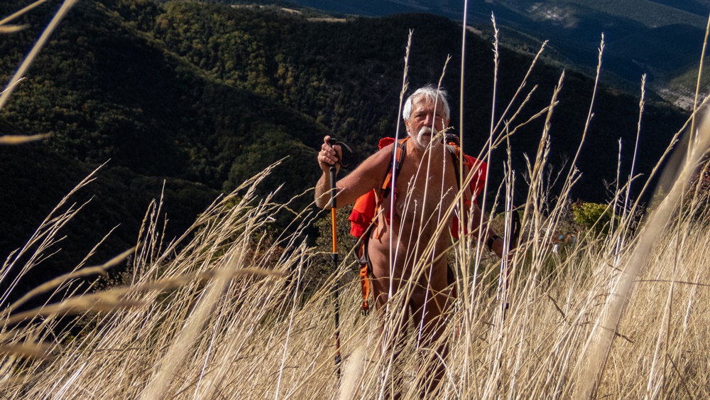
Le sentier commence raide. Au bout de quelques minutes, à la croix au dessus du tunnel, on est tous déjà nus. Dans la lumière matinale la vue s’étend loin sur les sommets de la barrière est du Vercors, le mont Aiguille, le Grand Veymont, la Moucherolles. Le chemin monte dans une végétation d’herbe jaunie lumineuse. Au col de la Lauzette, il faut se décider sur la direction : Va pour le Serre de Beaupuy qui se dresse devant nous, vite grimpé ! Du sommet on domine le vallon de Combeau. On croise un berger,…une bergère, sans se couvrir. On discute un peu, les moutons et donc les patous sont en dessous dans les pentes boisées. On entend leurs sonnailles mais on ne croise pas le troupeau ! Photo de groupe avant d’attaquer la descente sur le col de Côte Chèvre. Pique nique au col. On a encore du temps et on est si bien, pourquoi ne pas continuer jusqu’aux rochers de Combeau. Sentier en forêt puis le long de la crête de plus en plus étroite. On arrive au dessus des tours rocheuses emblématiques du site. Au bout, impossible d’aller plus loin, après c’est le vide de tous les côtés. Demi tour avec maintenant les monts Barral et Belle Motte en ligne de mire. On rejoint la forêt. A partir de là on se guide à l’aide du gps pour suivre le cheminement qui va nous ramener vers le col de Menée, en passant à proximité du parc des moutons, encore vide à cet heure là, gardé par deux patous qui s’approchent gentiment , ils ne sont pas encore au boulot ; puis un peu plus loin en dominant la route départementale. Habillement juste avant d’arriver au col, après sept heures de nudité. Le parking est rempli d’une dizaine de voitures de collection et de leurs passagers bruyants mais sympathiques qui nous offrent les parts de gâteaux qui leur restent.


The first weekend of September marks the end of the summer vacations, and Monday marks the start of the new school year! I’ve arranged to meet at 9:30 am at the Col de Menée for a hike either towards the Tête de Praorzel following the ridges, a walk we did this winter on snowshoes, or towards the Serre de Beaupuy and the Col de Côte Chèvre and a return loop along a path I don’t know but which is marked on the maps.

Yves is already here after spending the night in his truck, Jean Paul and Patricia are also arriving from Grenoble, Loîc and Christian from Chatillon and Didier…on his motorcycle.

The trail starts steeply. After a few minutes, at the cross above the tunnel, we’re all already naked. In the morning light, the view stretches far out over the summits of the eastern barrier of the Vercors, Mont Aiguille, Grand Veymont and Moucherolles. The path climbs through luminous, yellowing grass. At the Col de la Lauzette, it’s time to decide which direction to take: go for the Serre de Beaupuy, which rises up in front of us, and climb it quickly! From the summit, we overlook the Combeau valley. We come across a shepherd,…a shepherdess, without covering up. We chat a little, the sheep and therefore the patous are below us on the wooded slopes. We hear their bells, but we don’t come across the herd! Group photo before the descent to the Côte Chèvre pass. Picnic at the pass. We’ve still got time and we’re doing so well, why not continue to the Combeau rocks. Follow the path through the forest and then along the increasingly narrow ridge. We arrive above the site’s emblematic rock towers. At the end, it’s impossible to go any further, after which there’s emptiness on all sides. Half-turn, with Monts Barral and Belle Motte in your sights. We reach the forest. From here, we use the GPS to guide us along the path that will take us back to the Col de Menée, passing close to the sheep park, still empty at this time of day, guarded by two patous who approach us gently, they’re not at work yet; then a little further on, overlooking the main road. Dressing just before arriving at the pass, after seven hours of nudity. The parking lot is packed with a dozen classic cars and their noisy but friendly passengers, who offer us their remaining slices of cake.
Ruisseau d’Aurel

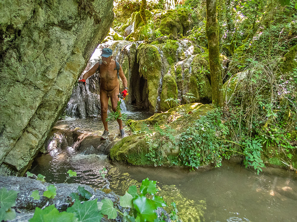
Si les balades les pieds dans l’eau en été le long des ruisseaux sont une spécialité de l’association des Marcheurs Nus du Val de Roanne, il est agréable et utile de trouver parfois de nouveaux itinéraires. La proposition de Loïc d’aller explorer et nettoyer le ruisseau de la Colombe à Aurel remplissait parfaitement cet objectif.

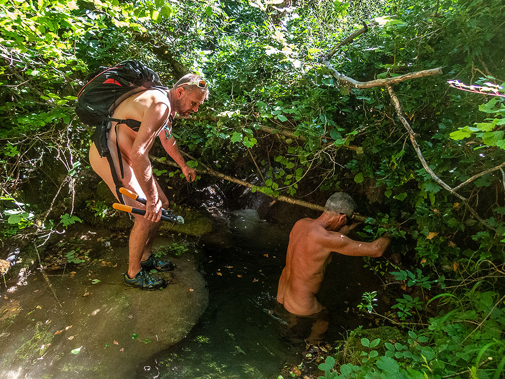
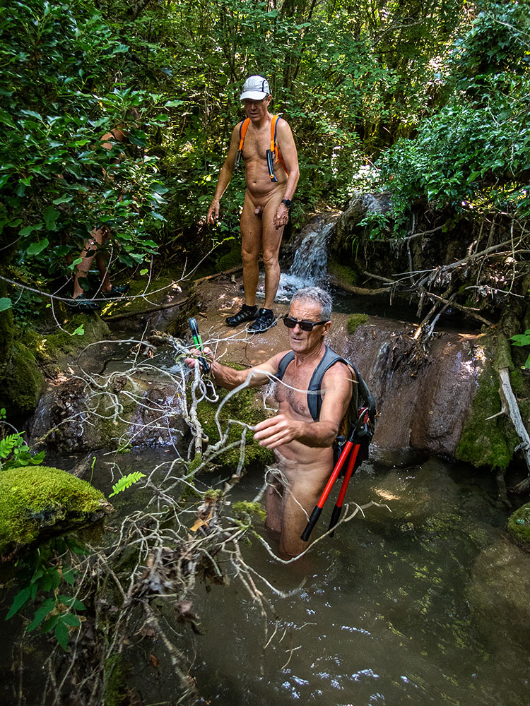
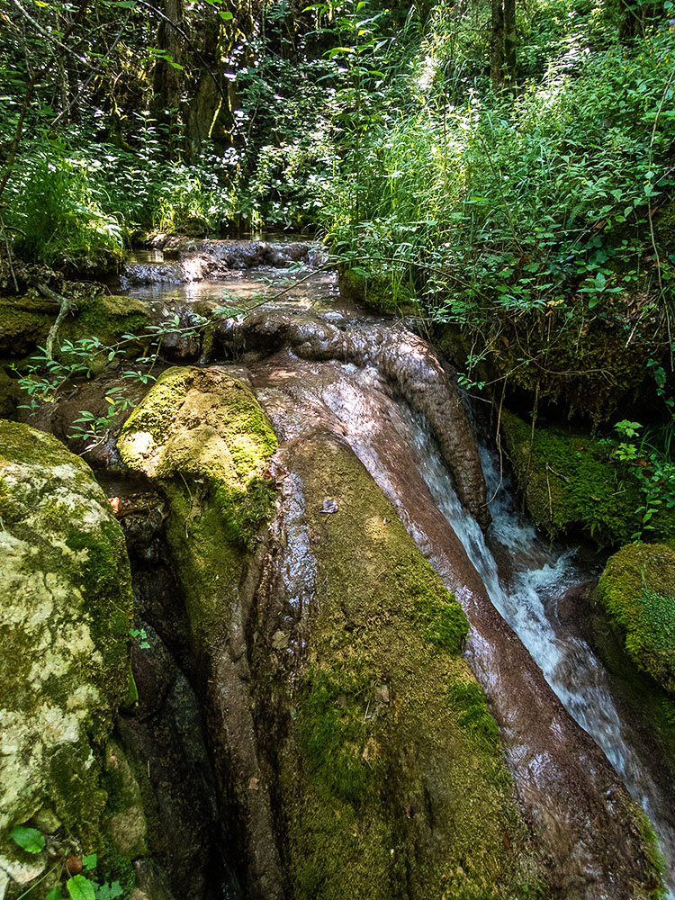
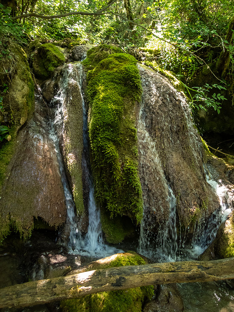
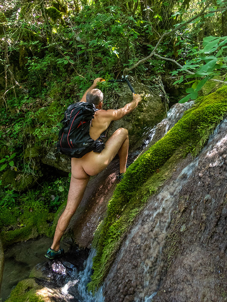
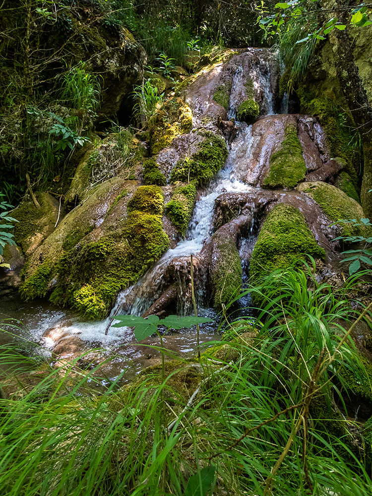
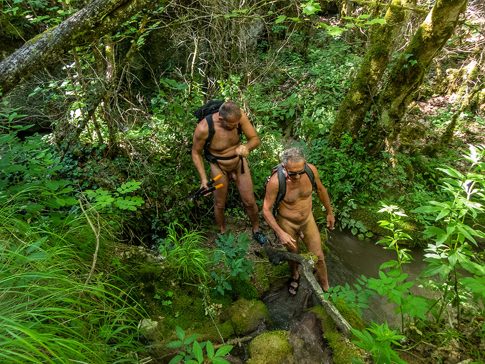
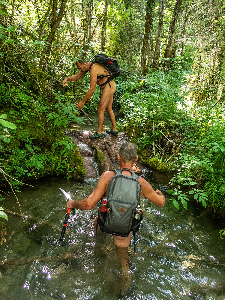
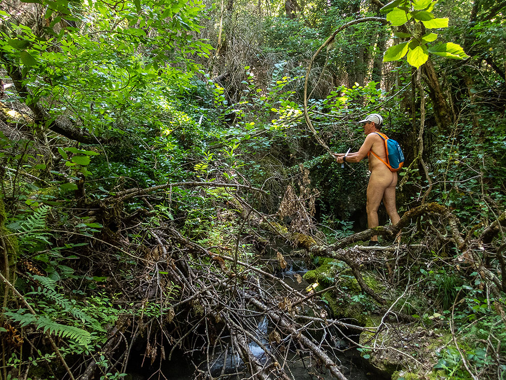
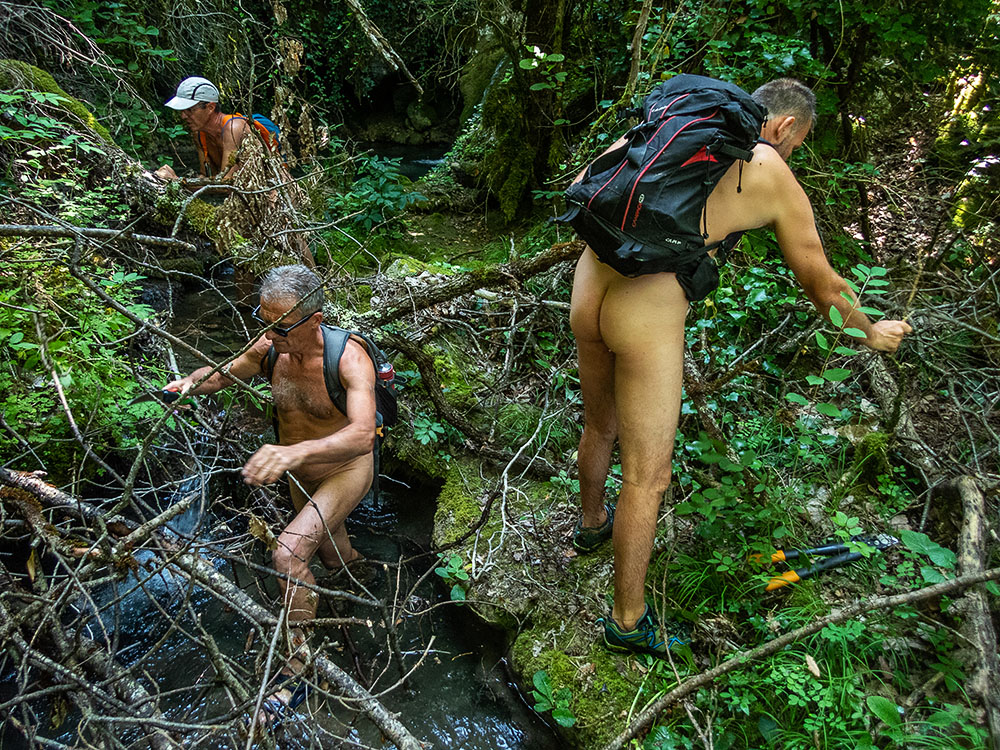
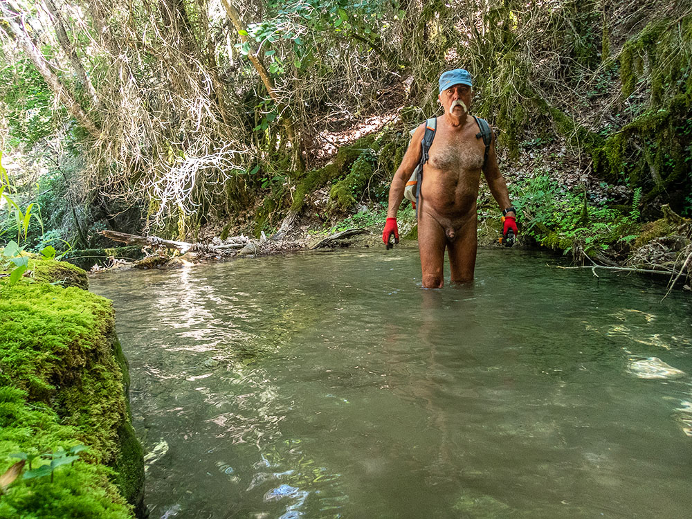
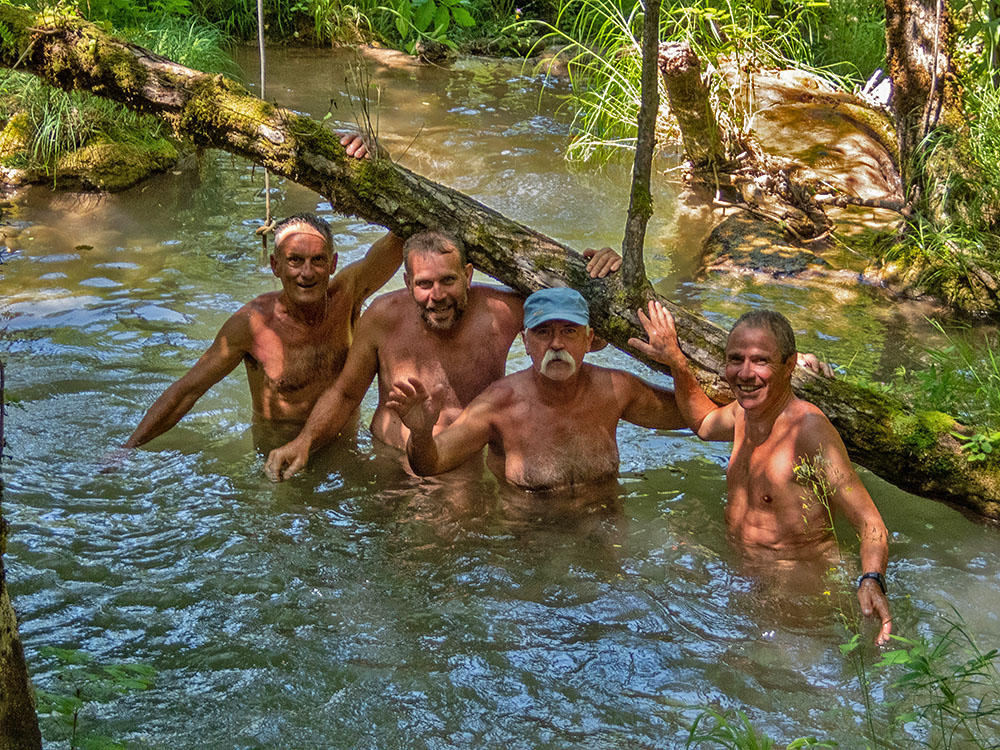
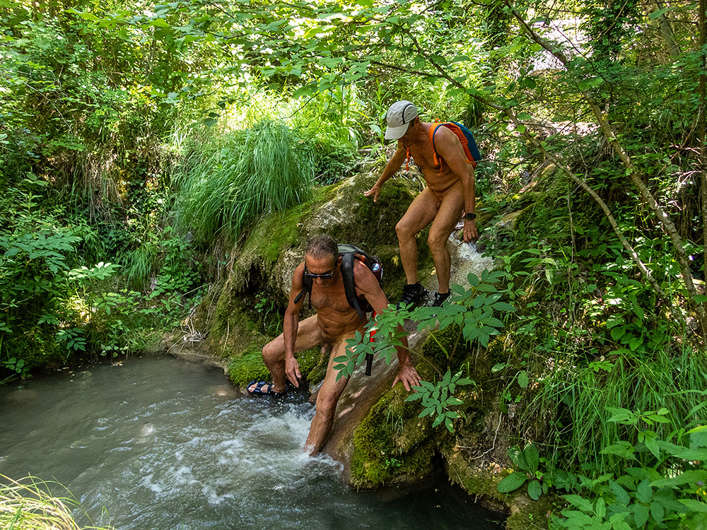
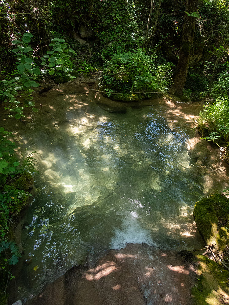
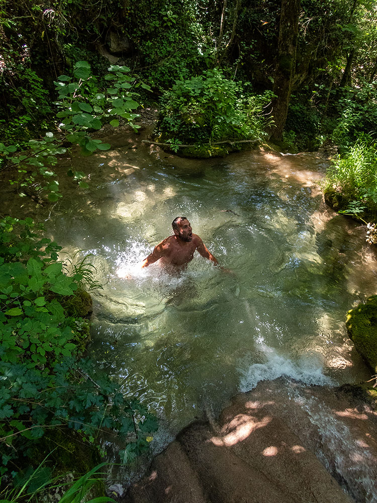
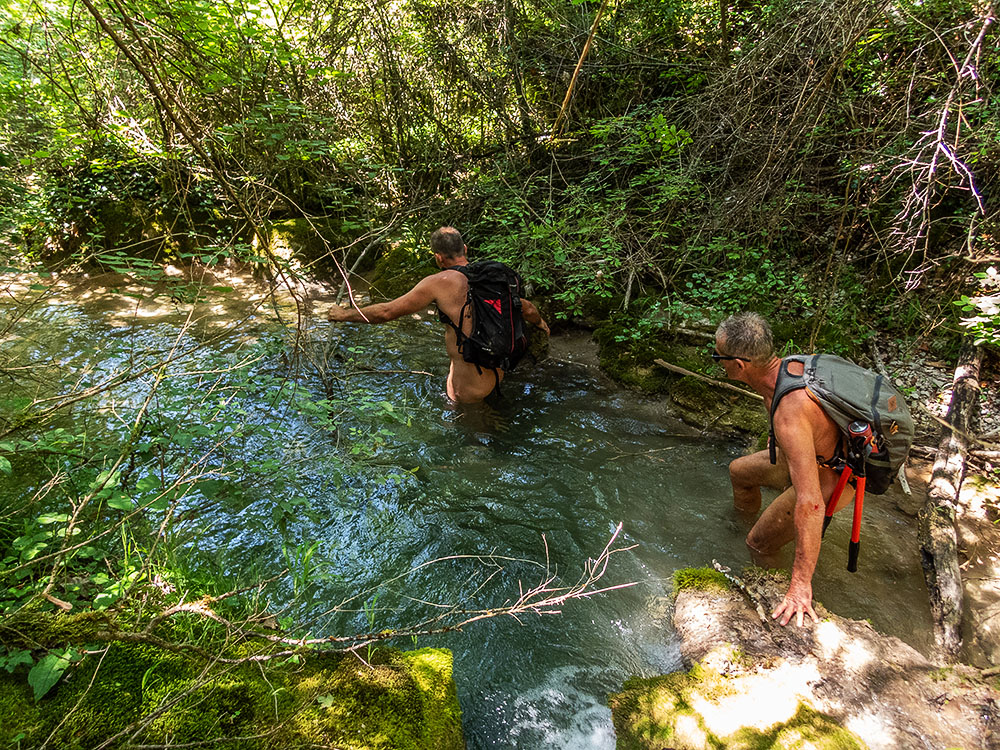
On s’est retrouvé à cinq sur le parking en face du camping d’Aurel. Bernard nous a tout d’abord accompagné puis a fait demi tour pour épargner ses genoux. A quatre avec Loïc, Christian et Robert on a attaqué la première difficulté : un tronc d’arbre couvert de lierre couché en travers du lit du ruisseau, entremêlé à des branches échouées sur lui. Sécateurs, coupe-branches et scies en action. Le barrage a sauté. Une fois passé l’obstacle on découvre le torrent qui saute de roches en roches, de ressauts en petites cascades de tuffières, de vasques en vasques où il fait bon se rafraîchir, l’eau est à 12° qui surprend au premier bain mais que l’on apprécie ensuite. Tout au long il faut couper, cisailler, pousser branches et ronces, chercher parfois un passage sur le côté, enjamber les rochers, s’enfoncer jusqu’à mi corps dans l’eau. Le temps passe sans que l’on s’en aperçoive ! Tout d’un coup le courant disparaît derrière un chaos de blocs. Au dessus on ne voit ni n’entend l’eau couler. Étrange ! On rejoint un chemin qui monte parallèlement au ruisseau puis une piste qui mène à la ferme du Chambon. Pique nique au bord du chemin, à l’ombre bien sûr puis demi tour. On retrouve notre ruisseau que l’on descend maintenant. Un homme en maillot de bain n’est pas surpris de notre tenue « Je connais l’existence de votre association » Il est par contre surpris par la somme de notre travail du matin. Il propose de nous prendre en photo tous les quatre ensemble avec mon appareil. Il nous indique aussi qu’en dessous de notre point de départ il est possible de continuer jusqu’au camping. On y va donc, mais là encore la végétation a envahi le cours du torrent et l’outillage se remet en service. Mais le résultat en vaut la peine et cette balade pourra se mettre au programme en toute sécurité.


Although summer walks along streams with feet in the water are a speciality of the Val de Roanne Naked Walkers Association, it’s nice and useful to occasionally find new itineraries. Loïc’s proposal to explore and clean up the Colombe stream in Aurel fulfilled this objective perfectly.
The group of five met in the parking lot opposite the Aurel campsite. Bernard first accompanied us, then turned back to spare his knees. The four of us, along with Loïc, Christian and Robert, tackled the first difficulty: an ivy-covered tree trunk lying across the bed of the stream, intermingled with branches washed up on top of it. Pruning shears, branch cutters and saws in action. The dam has burst. Once past the obstacle, the torrent jumps from rock to rock, from overhang to little tuff waterfalls, from basin to basin, where it’s good to cool off. The water is 12°, which is surprising at first, but much appreciated afterwards. All along the way, we have to cut, shear, push branches and brambles, sometimes looking for a passage to the side, step over rocks and sink halfway into the water. Time passes unnoticed! Suddenly, the current disappears behind a chaos of boulders. You can’t see or hear the water flowing above. How strange! We join a path that runs parallel to the stream, then a track that leads to the Chambon farm. Picnic by the roadside, in the shade of course, then turn around. We return to our creek, which we are now descending. A man in a swimsuit isn’t surprised by our outfit: « I know about your association ». He is, however, surprised by the amount of work we’ve done this morning. He offers to take a photo of the four of us together with my camera. He also tells us that below our starting point it’s possible to continue on to the campsite. So off we go, but here again the vegetation has invaded the torrent and the tools are back in use. But the result is well worth the effort, and we’ll be able to put this walk on the agenda in complete safety.

La Bâtie des Fonds

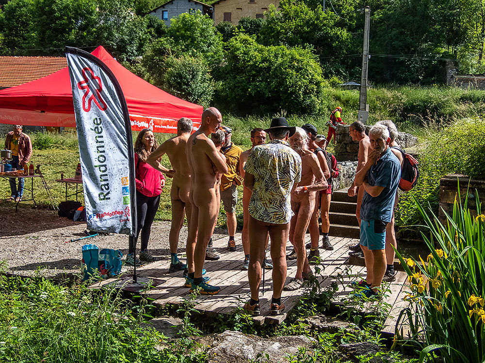
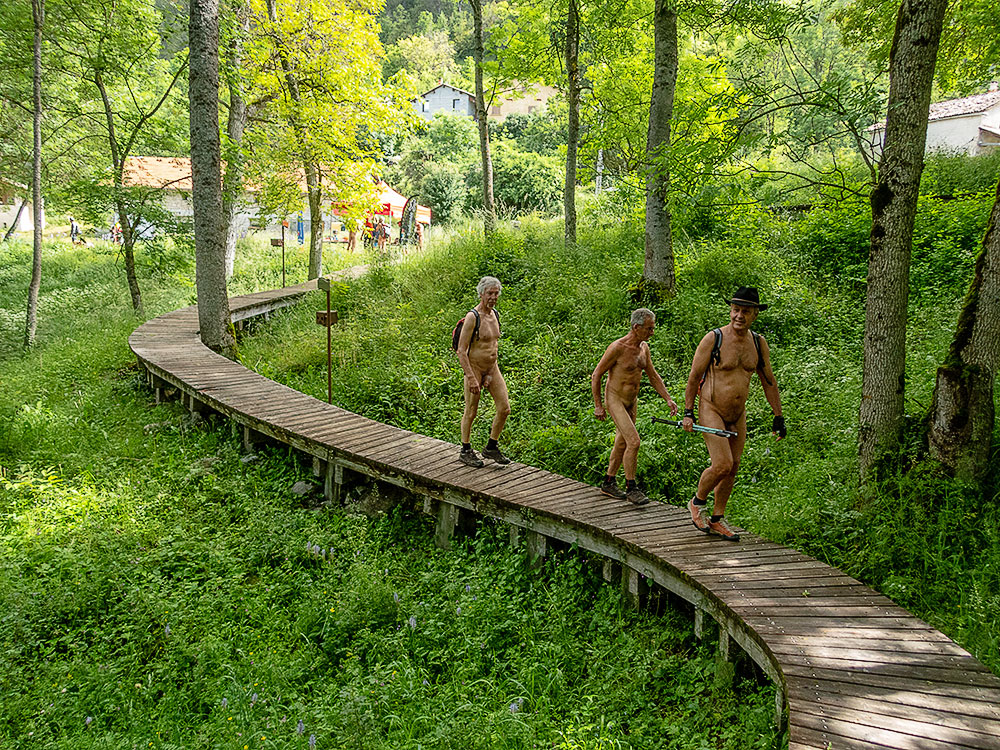
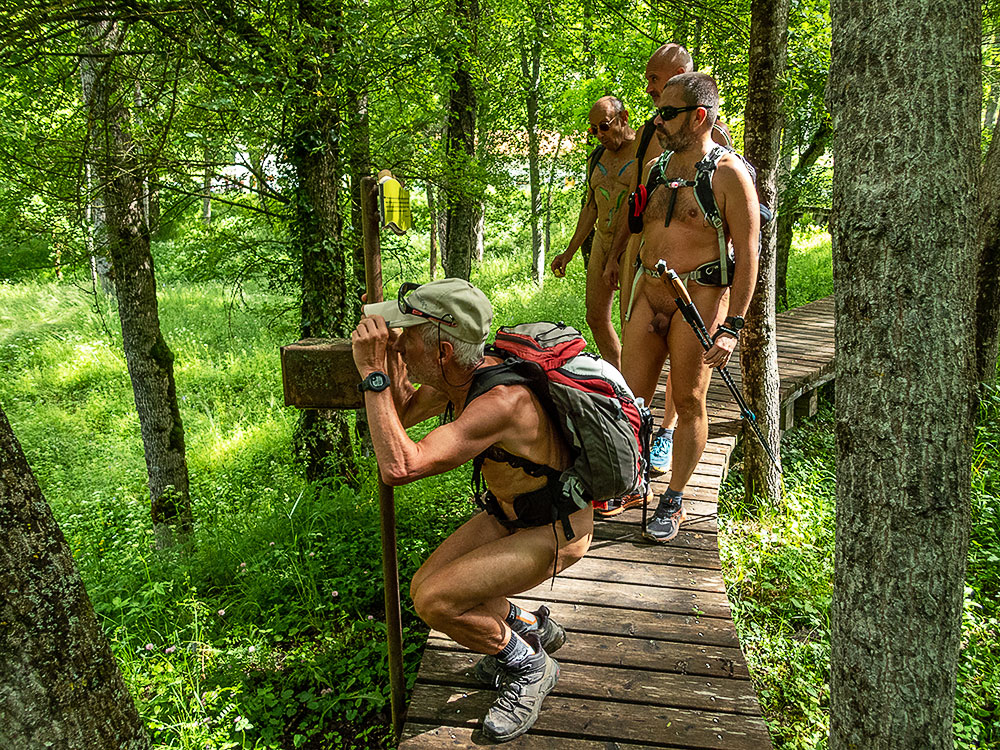
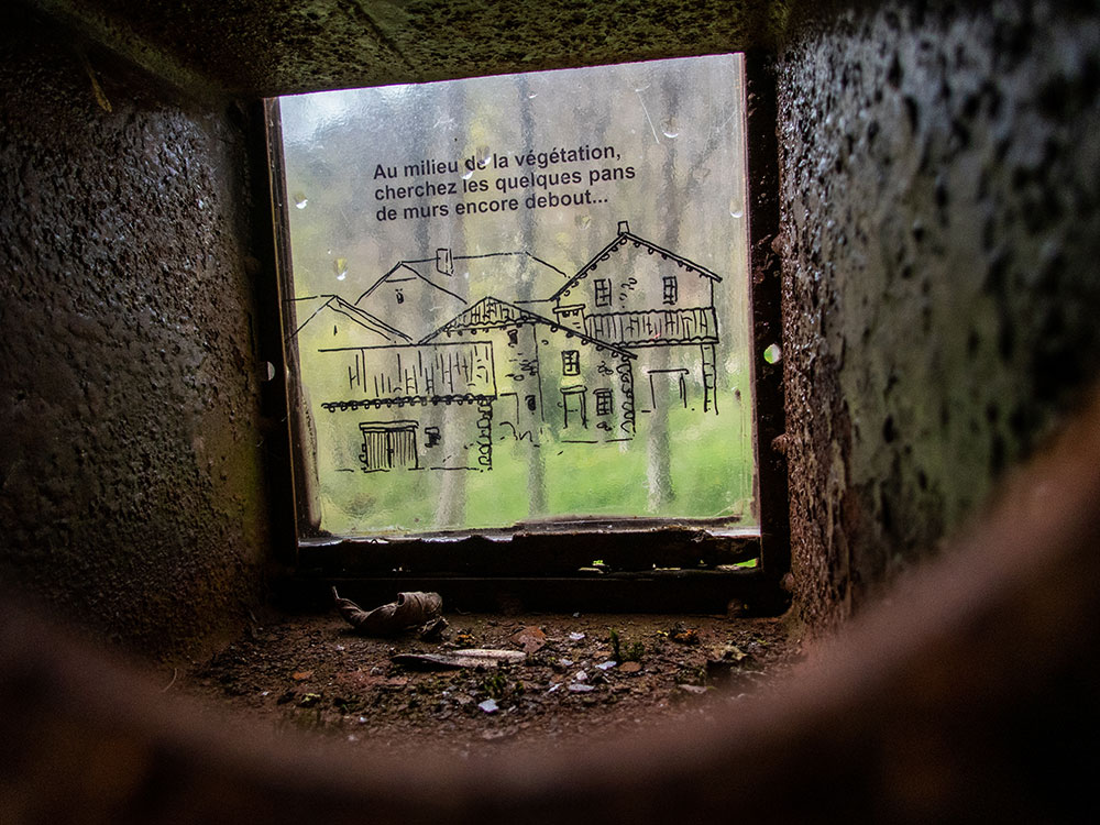
L’association des Marcheurs Nus du Val de Roanne organisait le samedi 10 juin une journée festive ouverte à tous dans le petit village de la Bâtie des Fonds. Pour cela Bernard avait contacté la commune de la Bâtie, tout petit village qui ne comptait au dernier recensement, en 2020, que deux habitants permanents. Le lieu est surtout connu pour être la source de la rivière Drôme et pour avoir été en partie détruit dans les années 1930 par une coulée de boue qui a emporté une quinzaine de maisons. La maire avait donné son accord pour l’occupation de l’espace publique aménagé en passerelles de bois sur le site du village disparu, mettant même à disposition la salle de réunion de la mairie. L’objectif de cette journée était de s’ouvrir à de nouveaux pratiquants, hors des membres adhérents déjà à l’association, et en même temps d’accueillir des activités diverses parallèlement à la randonnue proprement dite : expo photo, body painting, musique et chansons et un repas collectif.

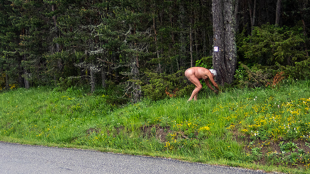
Tôt le matin sur le trajet depuis Grenoble j’ai de la pluie et du brouillard. Mais la météo annonce une amélioration. J’ai choisi de rejoindre la Bâtie par une petite route passant par le col de Carabes. Au col et à proximité je sais que sont cachées deux geocaches. Je m’arrête. La route est déserte à cet heure là. Je quitte short et tee shirt et trouve rapidement la première cache au pied d’un arbre juste en bordure de la chaussée. Je repars et me gare un kilomètre plus loin pour la deuxième. Je peux bien continuer et arriver ainsi nu au village puisque c’est le thème du jour !

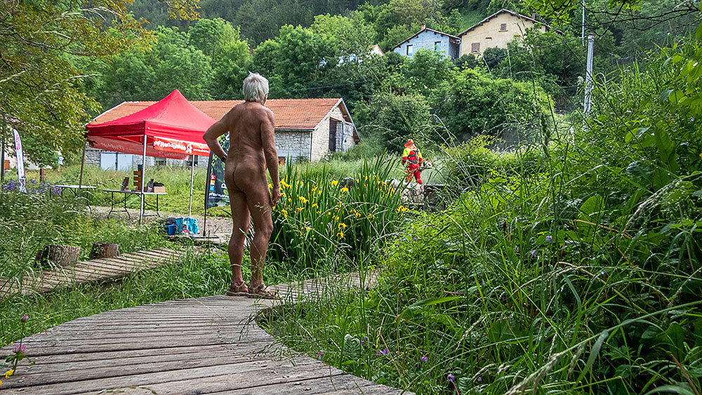
Là les premiers membres de l’association arrivent les uns après les autres pour installer le matériel ; tables pour l’accueil, expo et le stand de la Fédération Française de Randonnée avec sa documentation amené par Philippe du comité de la Drôme. A proximité, tout caparaçonné de vêtements de protection un homme fauche l’herbe haute à la débroussailleuse. Contraste entre nos tenues ! Il devait couper l’herbe la veille pour nous laisser l’espace libre, mais la météo l’en a empêché et il se hâte de le faire ce matin. On lui explique notre action.

Après un café et quelques brioches de bienvenue nous sommes onze à partir en rando en deux groupes, dont six non (encore) adhérents attirés par la communication que nous avons faites sur l’évènement.

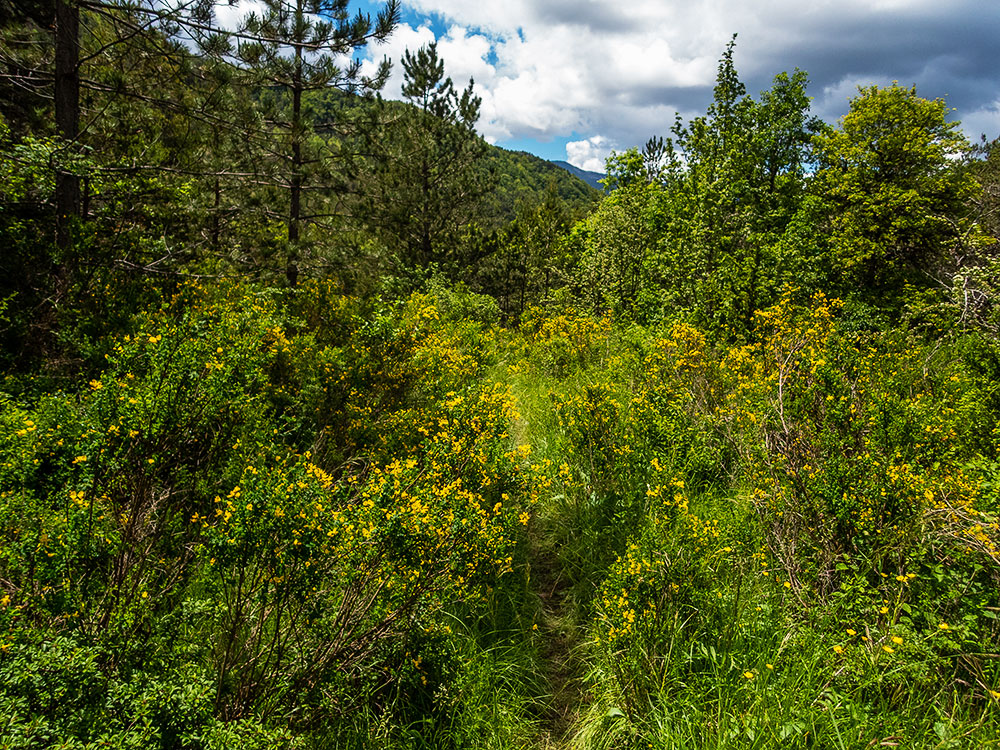
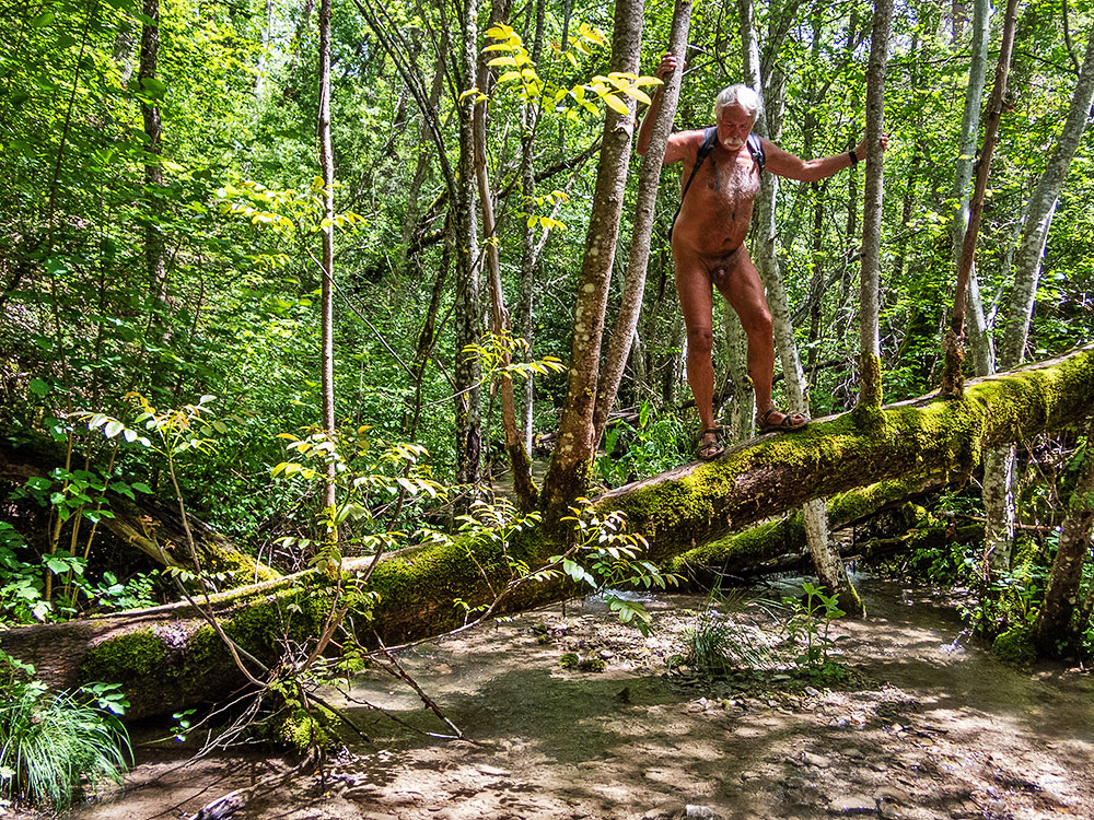
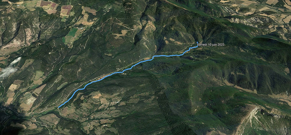
Le parcours suit le ruisseau de la Drôme depuis sa naissance au creux du village, serpentant entre bords de prairies, bois de résineux ou de feuillus, buissons de genets en fleurs. On traverse plusieurs fois son cours par des petits ponts de bois ou directement les pieds dans l’eau. Le terrain est parfois bien boueux, des filets d’eau descendant les champs pour rejoindre le ruisseau qui grossit peu à peu. On s’arrête pour des poses photo auprès de troncs remarquables. Passage sur une centaine de mètre le long de la route. On ne se recouvre pas, il ne devrait pas y avoir de circulation ! Tiens voici justement trois voitures ! Tant pis !

Arrivé au pont du Cheylard, après cinq kilomètres, demi tour. Je laisse le groupe repartir devant et traîne seul en arrière pour chercher quelques autres geocaches.

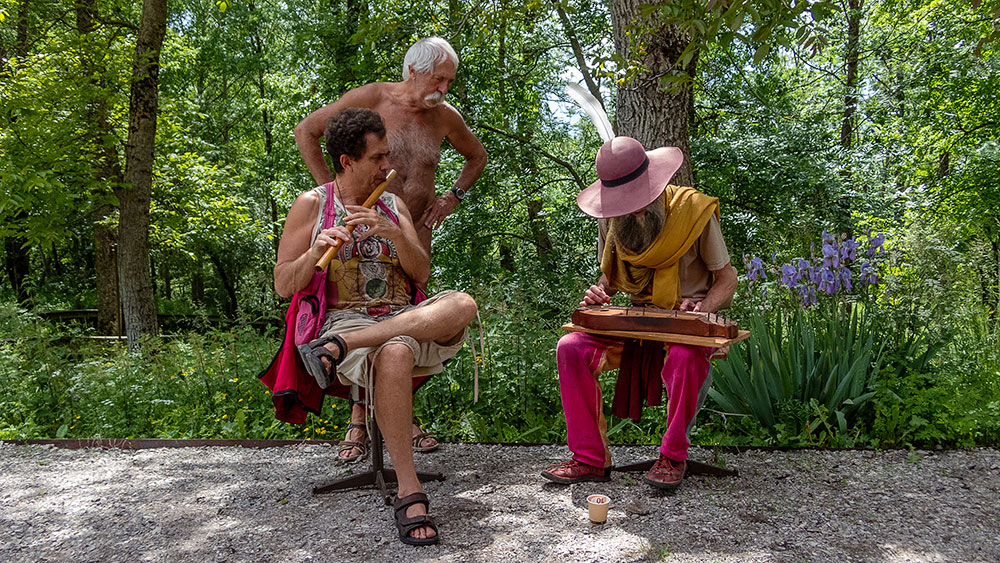
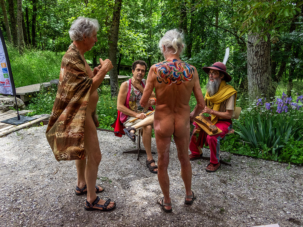
A la Bâtie, la journée se continue par un repas partagé, la visite de l’expo d’un photographe drômois, un atelier body painting et un de kinésiologie ainsi qu’un mini concert d’instruments rares. Même un court orage n’interrompt pas l’après midi et le plaisir d’être ensemble nus en toute liberté.

Il me parait trop difficile d’avoir à me rhabiller pour rentrer. C’est nu que je conduis sur près de cent kilomètres jusqu’à l’arrivée dans l’agglomération grenobloise.


On Saturday June 10, the Val de Roanne Bare Walkers Association organized a day of festivities open to all in the small village of La Bâtie des Fonds. Bernard had contacted the commune of La Bâtie, a tiny village with just two permanent inhabitants at the last census in 2020. The village is best known for being the source of the River Drôme, and for having been partly destroyed in the 1930s by a mudslide that swept away some fifteen houses. The mayor had agreed to the occupation of the public space laid out with wooden footbridges on the site of the vanished village, even making the town hall meeting room available. The aim of the day’s activities was to open up the event to new hikers, outside the association’s existing members, and at the same time to host a variety of activities alongside the hike itself: photo exhibition, body painting, music and song, and a collective meal.
Early in the morning, on my way from Grenoble, I was hit by rain and fog. But the weather forecast said it would improve. I chose to reach La Bâtie via a small road over the pass of Carabes. At the pass and nearby, I know that two geocaches are hidden. I stop. The road is deserted at this hour. I take off my shorts and T-shirt and quickly find the first cache at the foot of a tree just off the road. I drive on and park a kilometer further on for the second. I can carry on and arrive naked in the village, since that’s the theme of the day!
Here, the first members of the association arrive one after the other to set up their equipment: tables for welcoming visitors, an exhibition and the Fédération Française de Randonnée stand with its documentation, brought by Philippe from the Drôme committee. Nearby, wearing protective clothing, a man mows the tall grass with a brushcutter. Contrast between our outfits! He was supposed to cut the grass the day before to clear the way for us, but the weather prevented him from doing so, and he’s hastening to do so this morning. We explain to him what we’re doing.
After a coffee and a few welcome buns, eleven of us set off on the hike in two groups, six of whom were not (yet) members, attracted by the publicity we’d given the event.
The route follows the Drôme stream from its source in the village, winding its way through meadows, coniferous and deciduous woods and flowering broom bushes. We cross its course several times by small wooden bridges or directly with our feet in the water. The terrain is muddy at times, with trickles of water running down the fields to join the gradually growing stream. We stop to pose for photos next to some remarkable trunks.

A hundred meters along the road. No covering. There shouldn’t be any traffic! Here come three cars! Too bad!

After five kilometers to the Cheylard bridge, half turn. I let the group go on ahead and hang back alone to look for a few more geocaches.

At La Bâtie, the day continues with a shared meal, a visit to the exhibition of a Drôme photographer, a body painting and kinesiology workshop, and a mini concert of rare instruments. Even a short rainstorm didn’t interrupt the afternoon and the pleasure of being together naked in total freedom.

It seems too difficult to have to get dressed to go home. So I drive naked for almost a hundred kilometers until I arrive in the Grenoble area.

Beaumes de Soubreroche

Il y a déjà près d’une dizaine d’années, Bernard m’avait emmené sur un parcours qui passait à proximité de rochers de grès sculptés par l’érosion. J’ai eu envie d’y retourner ce printemps et j’ai organisé une sortie de l’association des Marcheurs Nus du Val de Roanne à cet effet. Nous avons donc emprunté le même circuit avec montée et traversée en forêt, passage dans le hameau de Soubreroche et retour en passant par ce chaos rocheux…que j’ai eu un peu de mal à retrouver, mais finalement il était tout près du chemin. On s’est arrêter un bon moment sur place pour une séance photo dans cet environnement creusé et découpé artistiquement par la nature.


About ten years ago, Bernard had taken me on a hike that passed near sandstone rocks sculpted by erosion. I wanted to go back there this spring and I organized an outing for the association of Barefoot Walkers of the Roanne Valley for this purpose. So we took the same circuit with an ascent and a crossing in the forest, passing through the hamlet of Soubreroche and coming back through this rocky chaos…that I had a little bit of trouble to find, but finally it was very close to the path. We stopped a good moment on the spot for a photo session in this environment dug and cut artistically by the nature.

Reychas

Dimanche matin, à 10 h, nous retrouvons à huit au bord de la route des Gorges des Gâts, dont deux nouveaux pour l’association des Marcheurs Nus du Val de Roanne. La route à traverser et le sentier est là qui commence à grimper en lacets dans la forêt. On a vite chaud malgré la fraîcheur ambiante. Les premiers commencent à se déshabiller, les autres suivront plus tard, chacun selon son ressenti. On rejoint le chemin des Baumes. Celui ci longe des murs de roche creusés de renfoncements, des lignes de falaises incurvées, s’étire sur des passages étroits à flanc de pentes. De l’autre côté, on domine les gorges des Gâts et les rochers de Soubreroche. A un moment on croise au détour du chemin une femme qui sourie de nous voir aussi peu vêtus, puis on rencontre une autre femme et un jeune homme arrêtés au bord de la piste en train de réchauffer un plat sur un petit feu. Discussion. Elle connaît l’association et a même participé à une sortie il y quelques années, mais aujourd’hui « trop froid ! ». Repas dans une clairière bien abritée du vent qui souffle un peu plus haut. Au soleil, il fait si bon que même les plus frileux se mettent nus pour une sieste allongés dans l’herbe. On poursuit en suivant le cours du petit ruisseau du Rio Sourd jusqu’à retrouver la piste de Reychas et retrouver les deux randonneurs de tout à l’heure qui ont tourné en sens inverse de nous. On arrive au hameau de Reychas, abandonné en cette saison. L’été, la bergerie et une maison sont occupées. La petite chapelle est cependant ouverte à la visite. On repart et redescend entre piste et sentiers jusqu’au parking. La route est si peu fréquentée que je me permet d’arriver à la voiture sans me couvrir.


Sunday morning, at 10 am, we meet at eight at the edge of the road of the Gorges des Gâts, including two new ones for the association of the Naked Walkers of the Valley of Roanne. The road to cross and the path is there which begins to climb in laces in the forest. We are quickly warm in spite of the ambient freshness. The first ones begin to undress, the others will follow later, each one according to its feeling. We join the path of Baumes. This one goes along walls of rock dug of recesses, lines of curved cliffs, stretches on narrow passages in the side of slopes. On the other side, one dominates the gorges of Gâts and the rocks of Soubreroche. At a moment we cross at the bend of the way a woman who smiles to see us so unclothed, then we meet another woman and a young man stopped at the edge of the track heating a dish on a small fire. Discussion. She knows the association and even participated in an outing there are some years, but today « too cold! Meal in a clearing well sheltered from the wind which blows a little higher. In the sun, it is so good that even the most sensitive to cold put themselves naked for a nap lying in the grass. We continue by following the course of the small brook of Rio Sourd until we find the track of Reychas and find the two hikers of earlier who turned in opposite direction of us. We arrive at the hamlet of Reychas, abandoned in this season. In summer, the sheepfold and a house are occupied. The small chapel is however opened to the visit. We leave and go down again between track and paths until the parking. The road is so little frequented that I allow myself to arrive at the car without covering me.

Les hameaux de Creyers

Nous sommes cinq pour cette sortie de l’association des Marcheurs Nus du Val de Roanne. On est mi février et pourtant le soleil brille dans un ciel bleu, on se croirait presque déjà au printemps. Au bout d’un quart d’heure de marche, on est réchauffé, on peut se déshabiller. Le sentier monte régulièrement entre barres rocheuses et massifs de buis. On rattrape deux personnes, déjà âgées. « J’espère que l’on ne vous choque pas ! On est une association de randonneurs naturistes. – Ah oui, on a vu ça dans le journal ! » On arrive au hameau du Serre, en ruine. Il ne reste que des fragments de murs envahis par la végétation. Un puits, grillagé pour éviter un accident. Un peu plus loin, je sais qu’il existe l’entrée d’un aqueduc souterrain, creusé pour amener l’eau vers le village. Je l’ai déjà exploré, il y a quelques années. L’entrée est protégée par une plaque de tôle et quelques morceaux de bois. On la dégage pour une rapide visite puis on referme soigneusement. On retrouve le couple rencontré en chemin. On prend le temps de discuter. Un de leur grand-père a été le dernier habitant d’un hameau voisin. Ils nous expliquent que chaque maison avait alors une réserve d’eau à la place de la cave. Que les différents hameaux ont été désertés dans les années 1920. Rencontre intéressante ! On continue en montant vers la crête de Courtinasse, quelque peu en mode sangliers, car il n’y a pas vraiment de chemin. Sur la crête on domine la vallée du village de Menée et le cirque d’Archiane, les sommets du Glandasse et des Rochers de Combau. Il existe une grotte dans le coin. Pascal nous assure qu’elle est traversante sous les rochers de l’arête et que l’on peut ressortir sur l’autre versant. Vérification faites. Le passage n’est pas bien long, mais il faut quelque peu ramper sur les cailloux pour passer une étroiture. Pique nique au soleil au milieu des massifs de buis. On descend jusqu’à une large piste que l’on va suivre jusqu’au deuxième hameau en ruine, celui de l’Église. Puis c’est par un petit sentier qui serpente dans la forêt que l’on rejoint notre point de départ. Rhabillage forcé à une dizaine de mètres de la route.


We are five for this outing of the association of the Naked Walkers of Roanne Valley. We are in the middle of February and yet the sun shines in a blue sky, we would almost believe to be already in spring. At the end of a quarter of an hour of walk, we are warmed up, we can undress. The path goes up regularly between rocky bars and massifs of boxwood. We catch up with two persons, already old. « I hope that we do not shock you! We are an association of naturist hikers. – Ah yes, we saw that in the newspaper! » We arrive at the hamlet of Serre, in ruin. It remains only fragments of walls invaded by the vegetation. A well, fenced to avoid an accident. A little further on, I know that there is the entrance of an underground aqueduct, dug to bring water to the village. I have already explored it, a few years ago. The entrance is protected by a plate of sheet metal and some pieces of wood. We clear it for a quick visit then we close it carefully. We find the couple met on the way. We take time to discuss. One of their grandfather was the last inhabitant of a nearby hamlet. They explain us that every house had then a reserve of water in the place of the cellar. That the different hamlets were deserted in the 1920s. Interesting encounter! We continue by going up towards the crest of Courtinasse, somewhat in wild boar mode, because there is not really a way. On the crest we dominate the valley of the village of Menée and the circus of Archiane, the summits of Glandasse and the Rocks of Combau. There is a cave in the area. Pascal assures us that it goes through the rocks of the ridge and that we can go out on the other side. We check it out. The passage is not very long, but we have to crawl a bit on the rocks to pass a narrow gap. Picnic in the sun in the middle of the massifs of boxwood. We go down to a wide track that we are going to follow until the second ruined hamlet, that of the Church. Then it is by a small path which winds in the forest that we join our starting point. Forced re-clothing in about ten meters of the road.