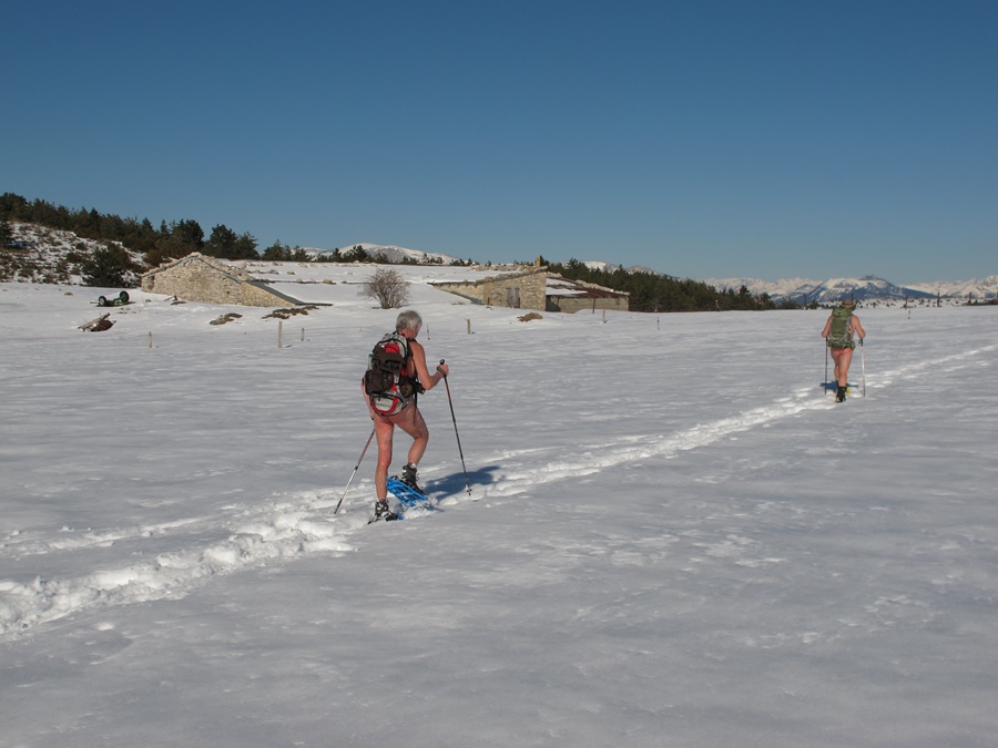
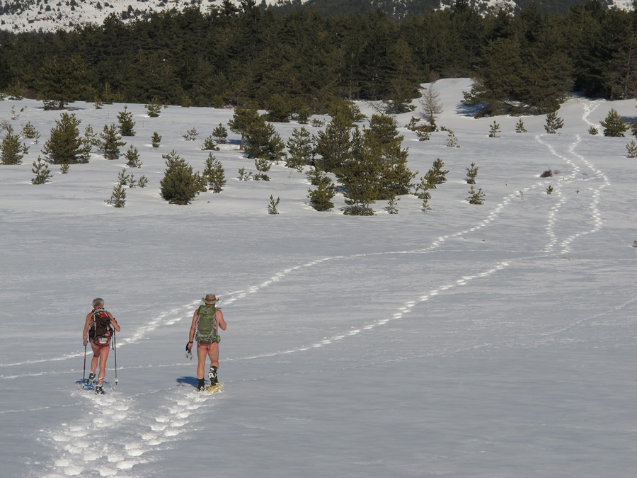
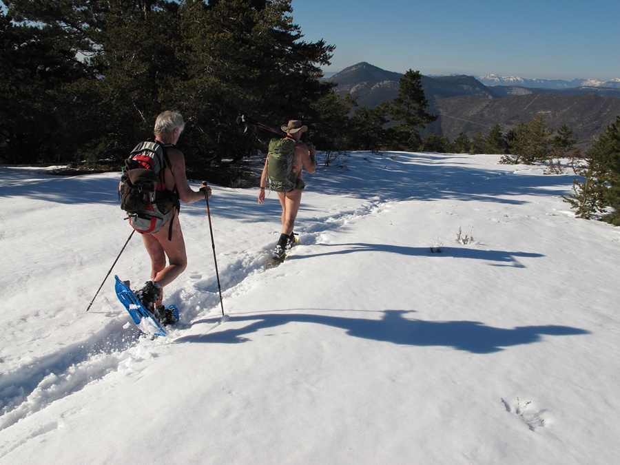
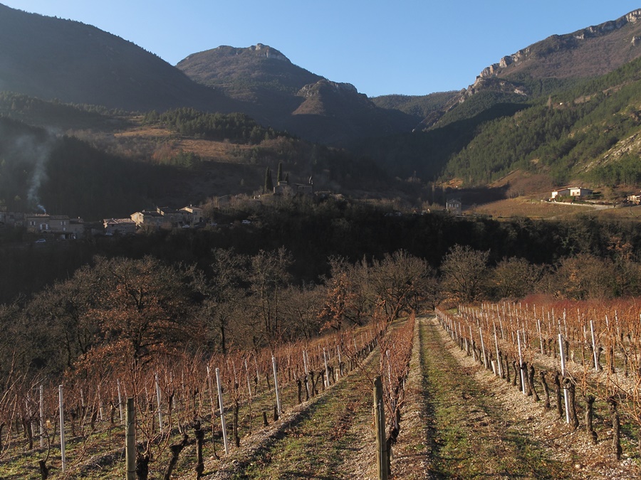
Platary

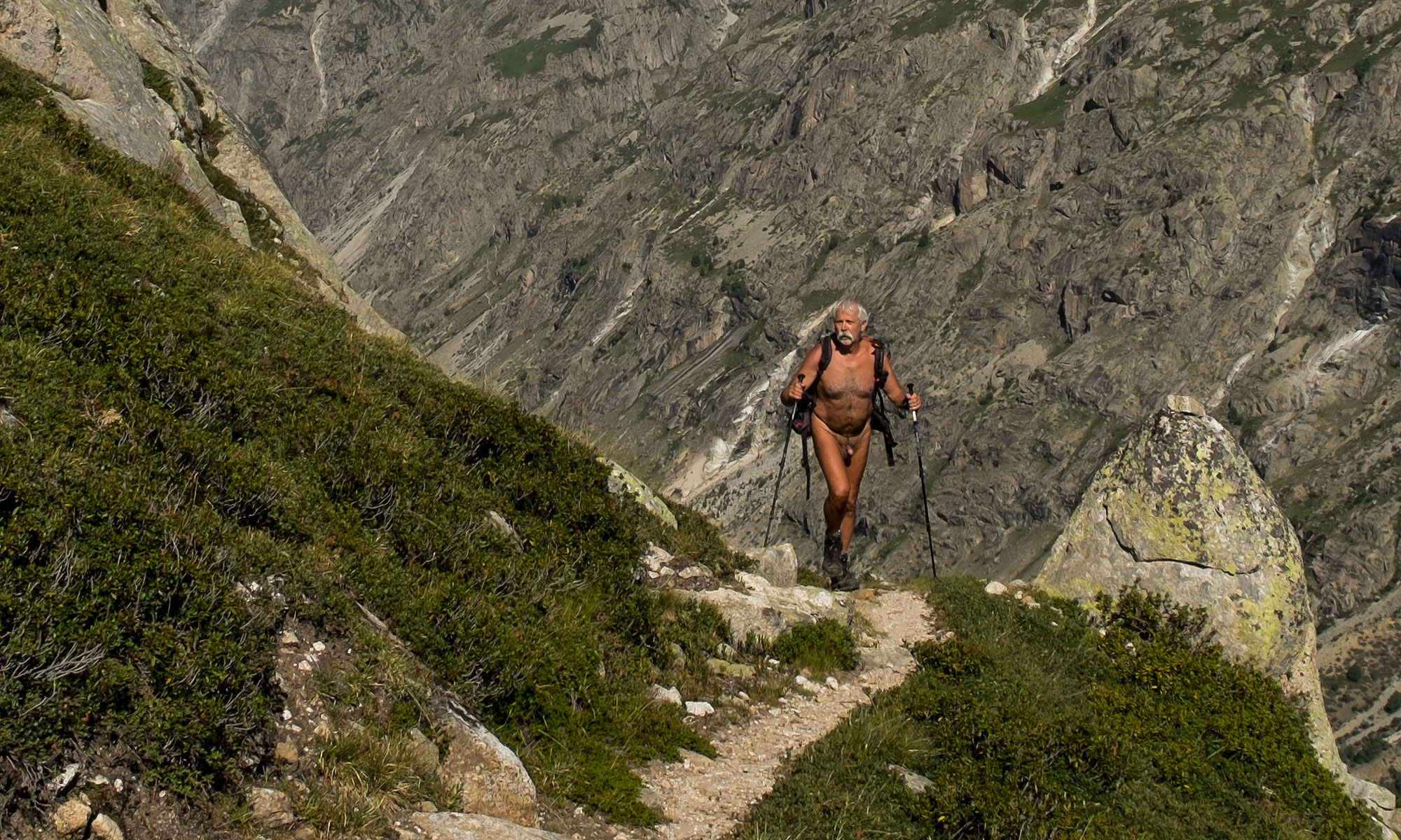
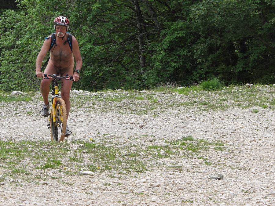
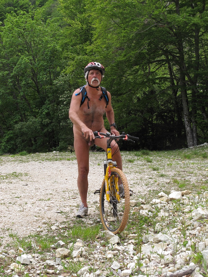
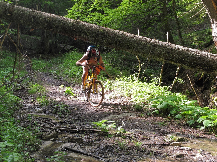
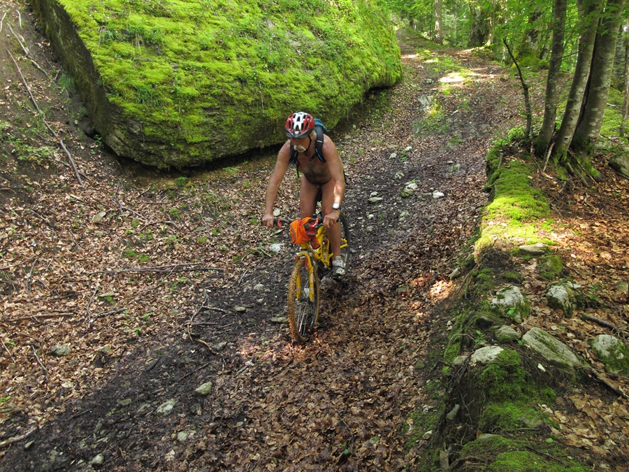
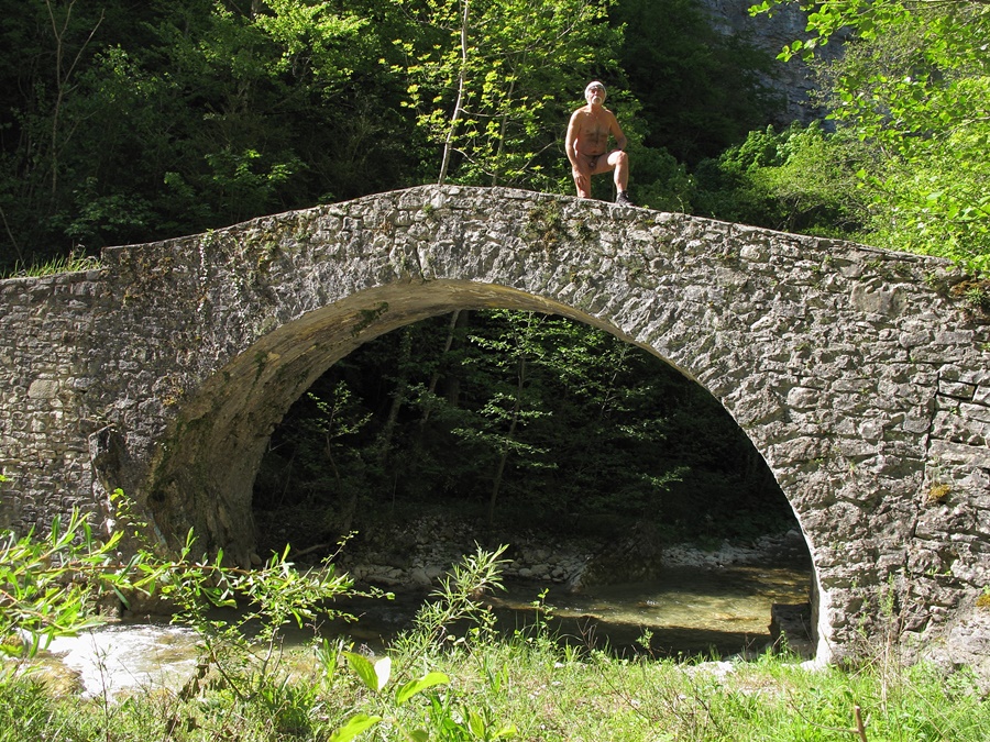
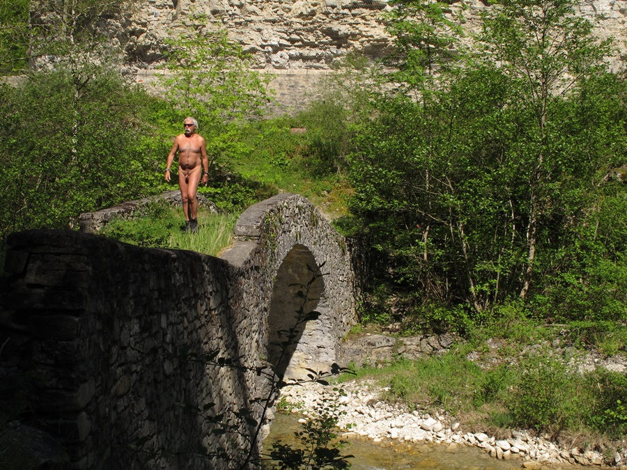
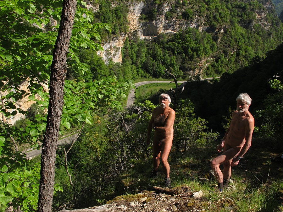
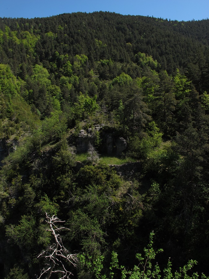
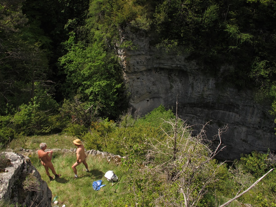
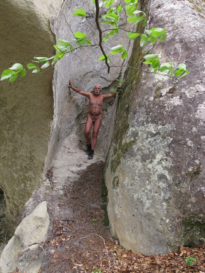
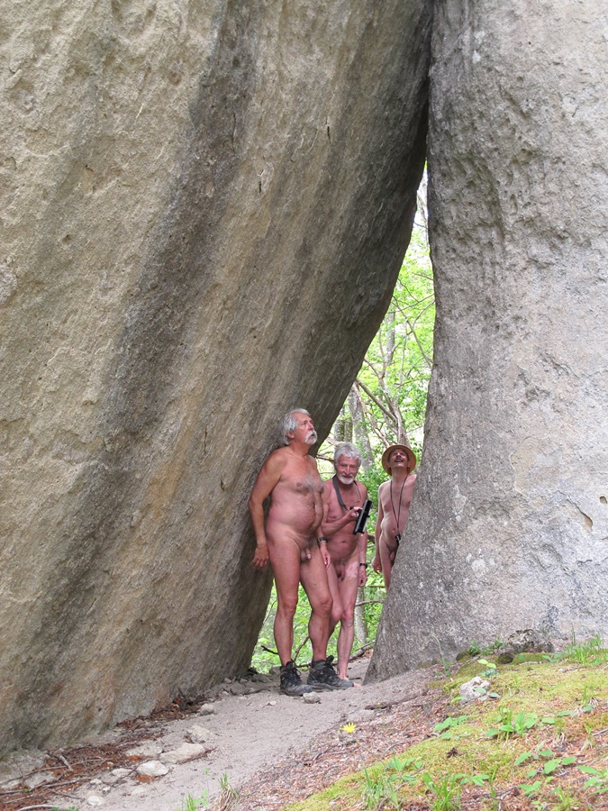
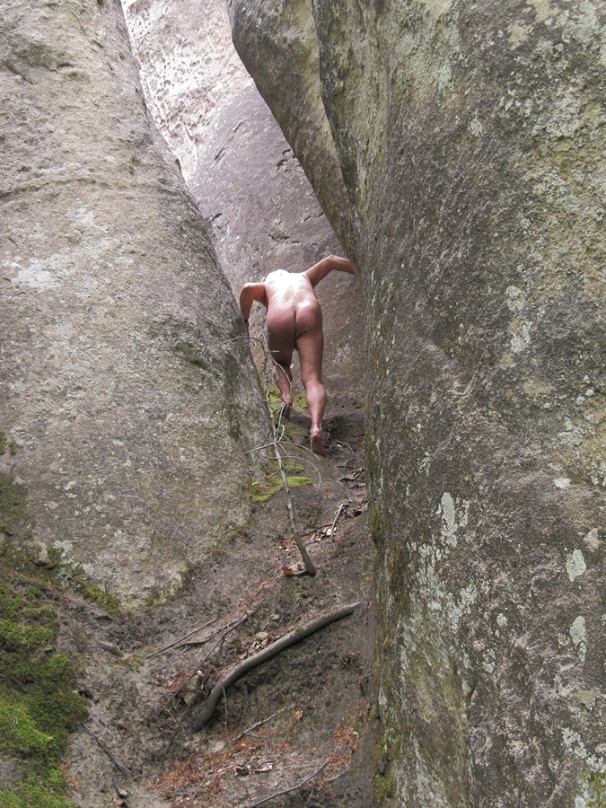
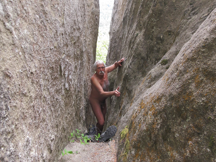
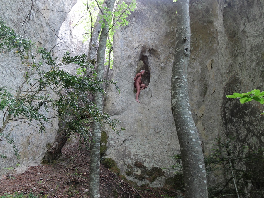
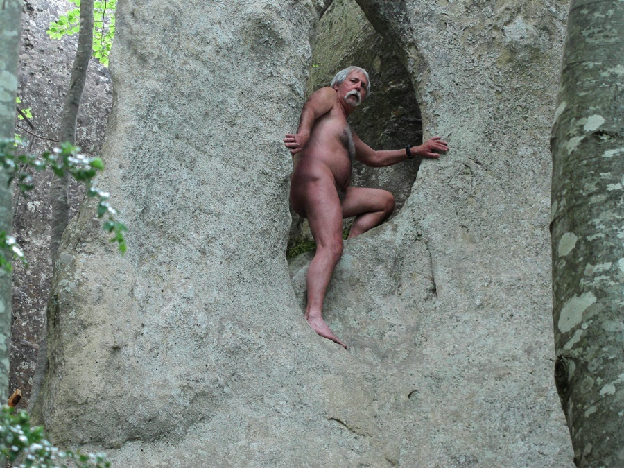
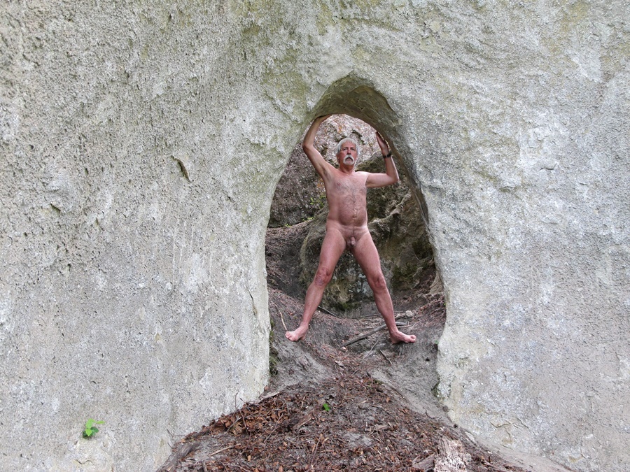
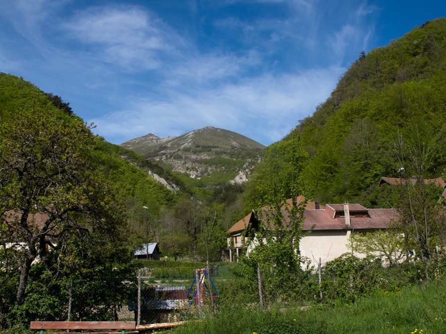
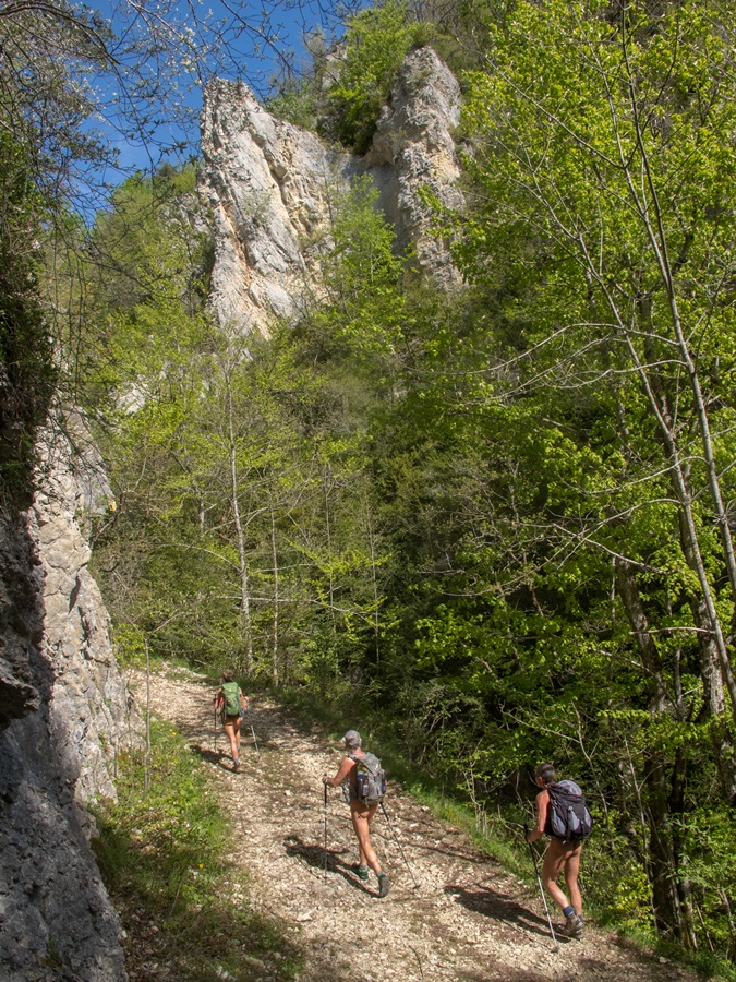
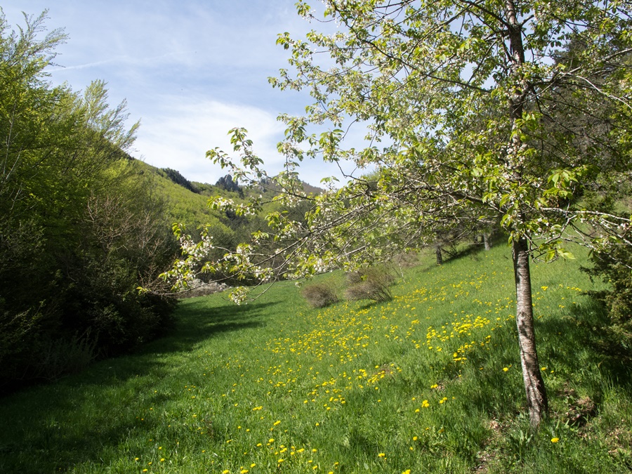
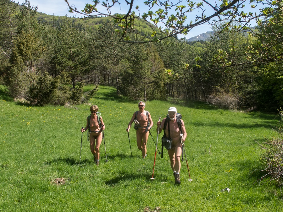
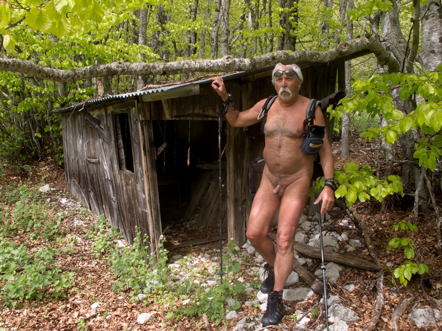
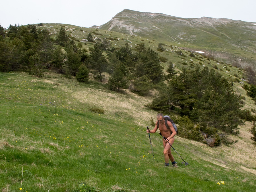
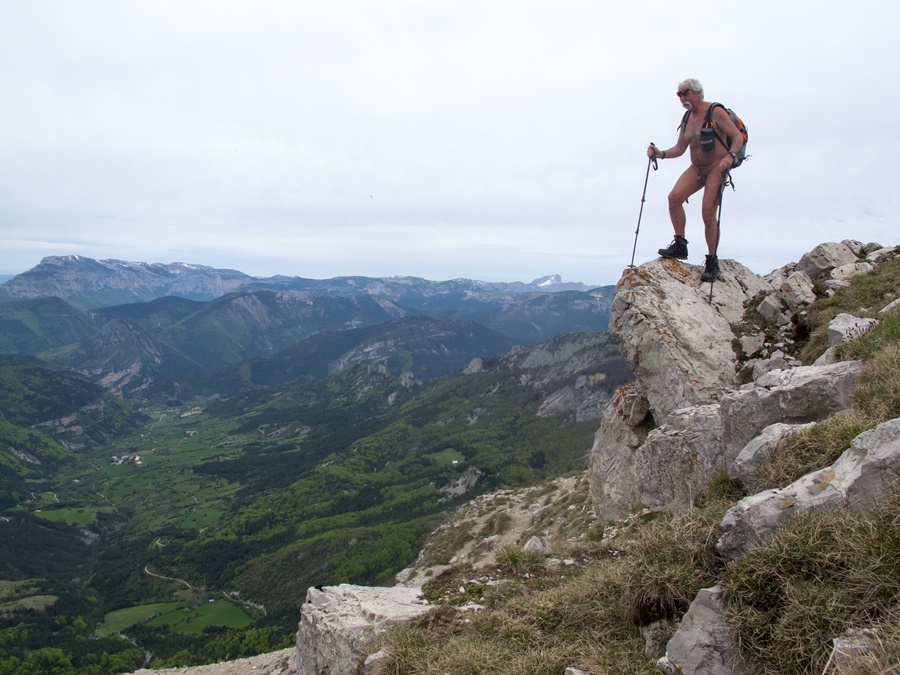
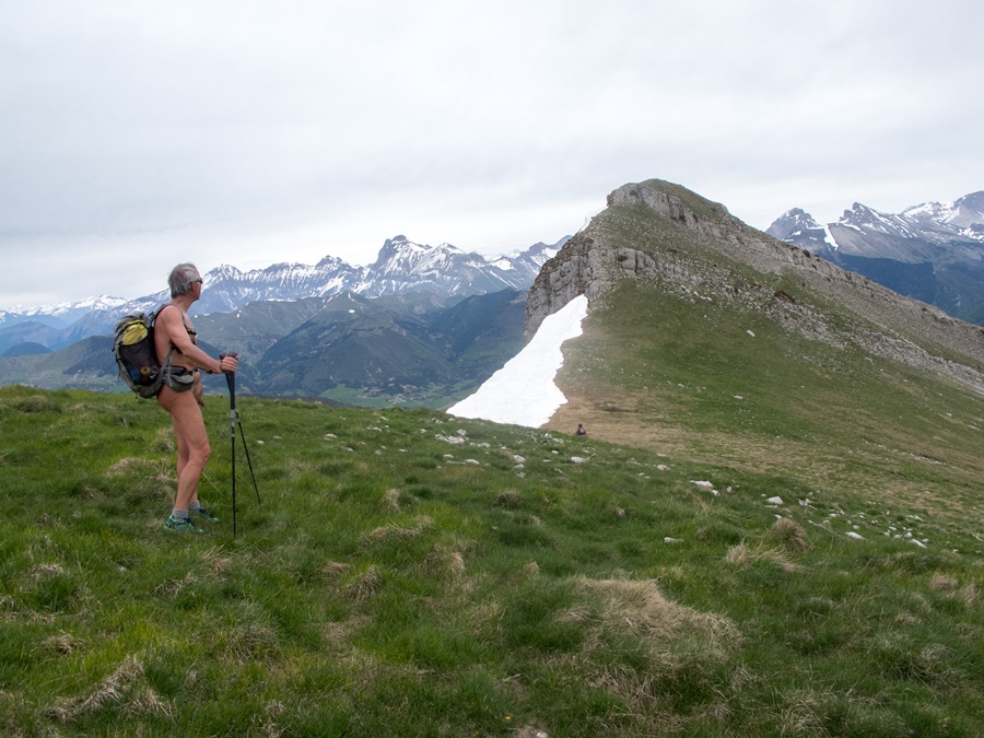
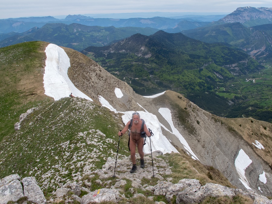
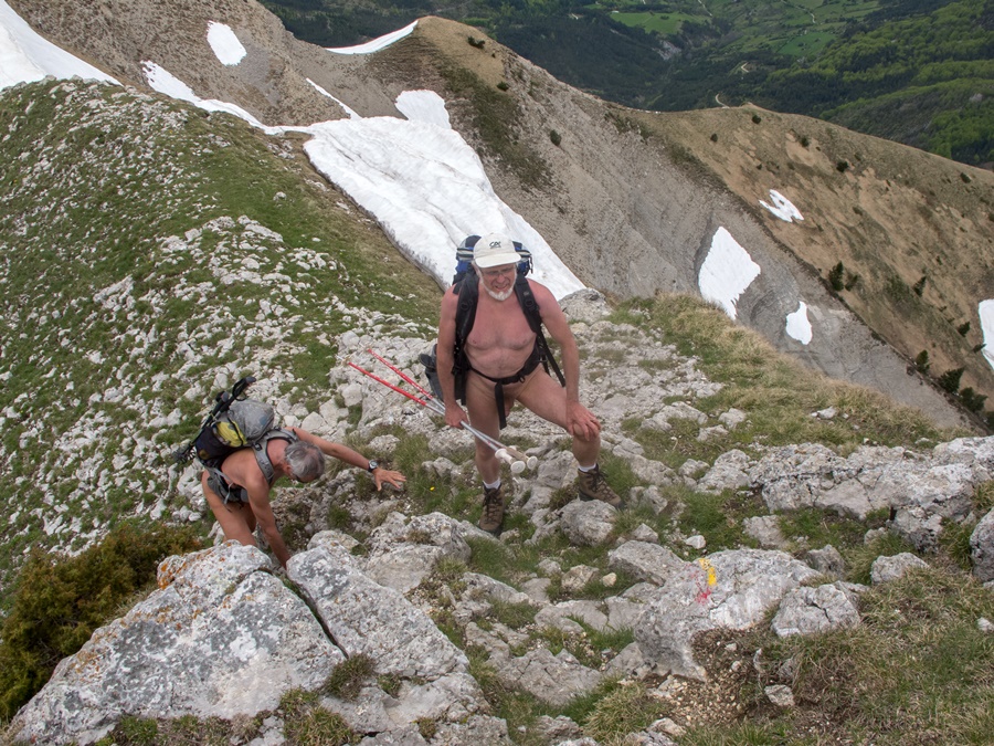
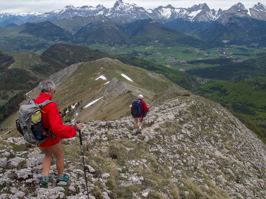
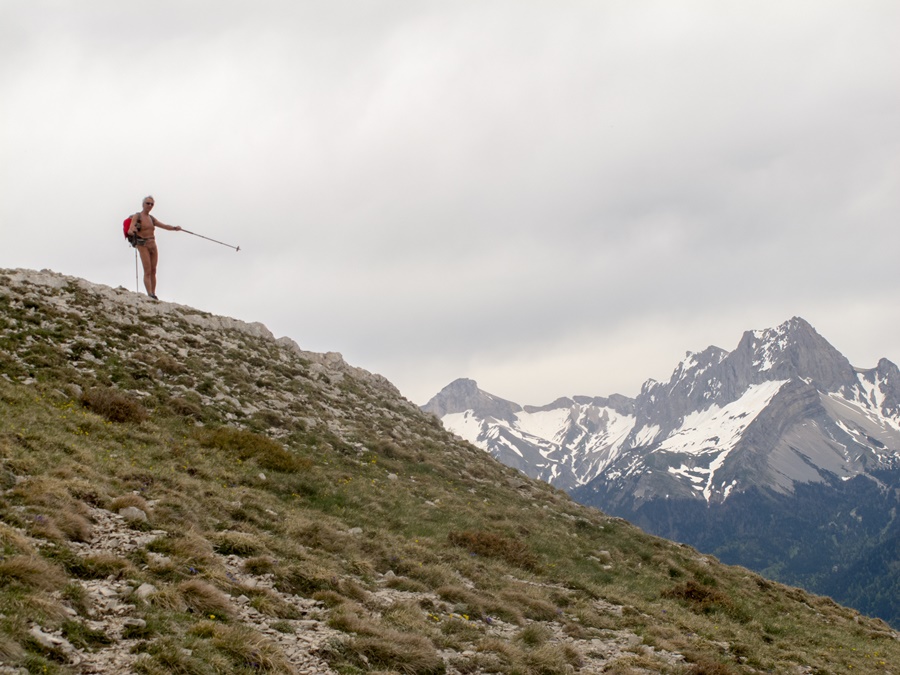
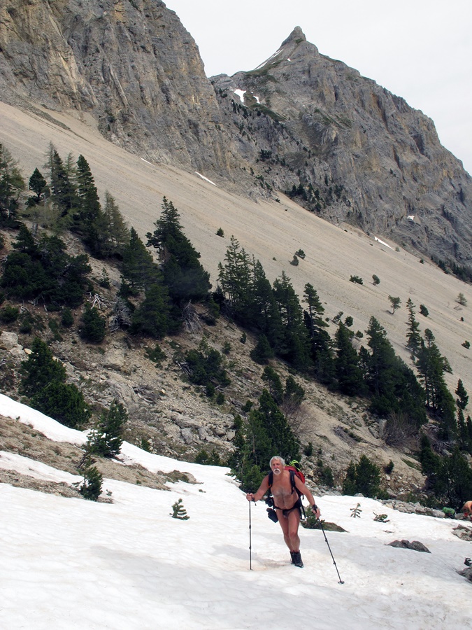
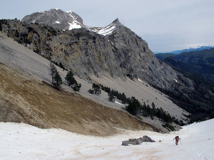
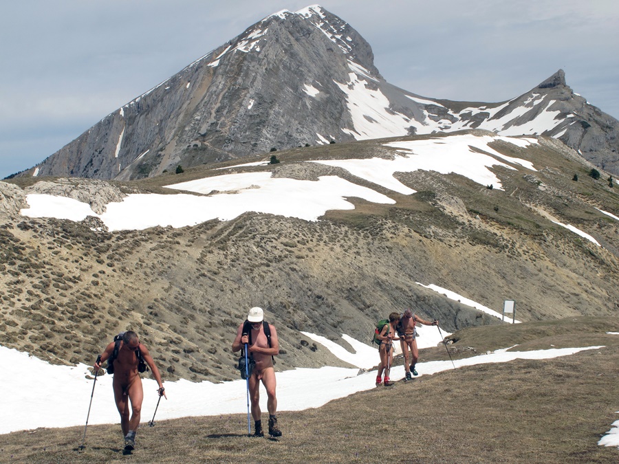
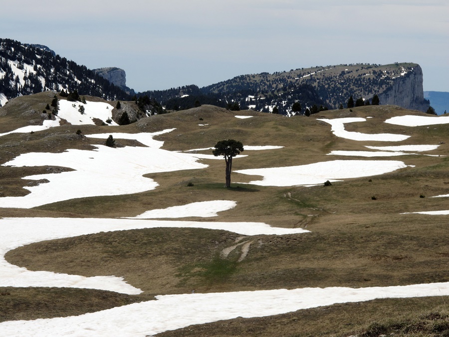
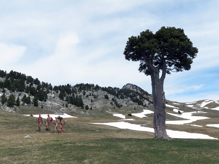
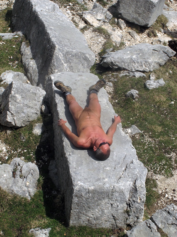
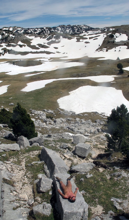
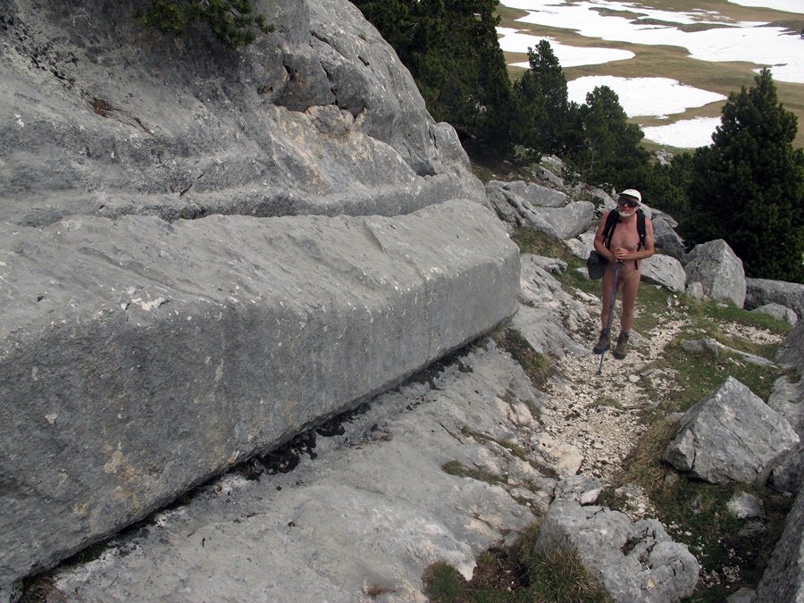
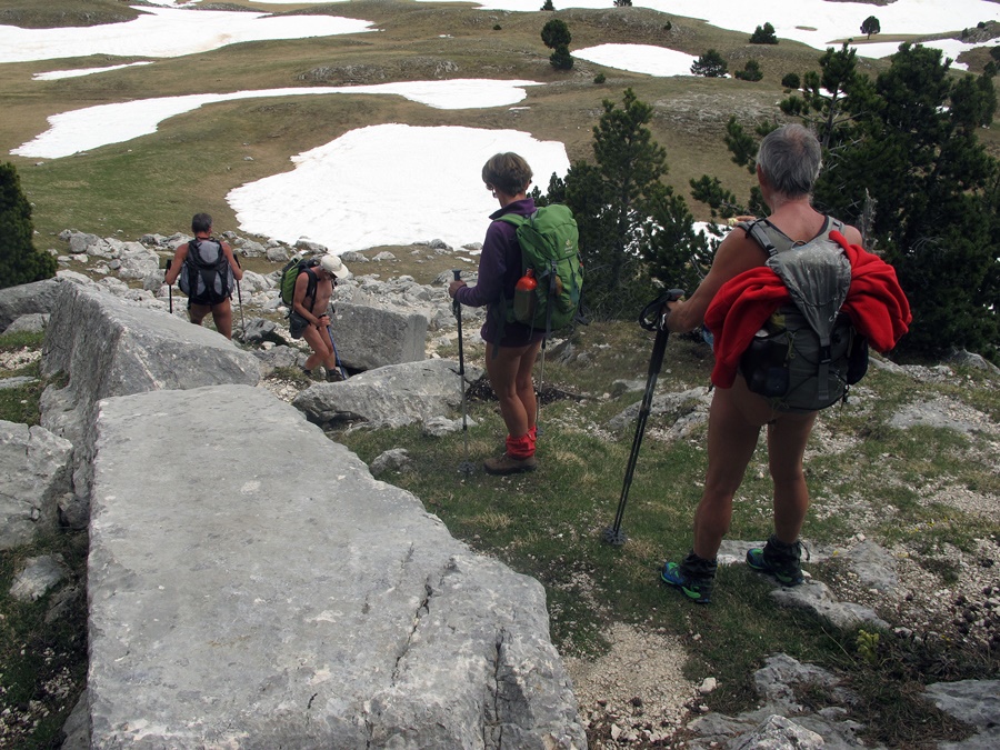
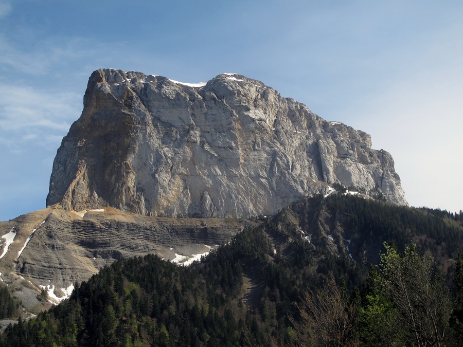
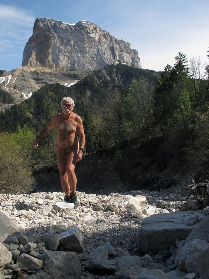
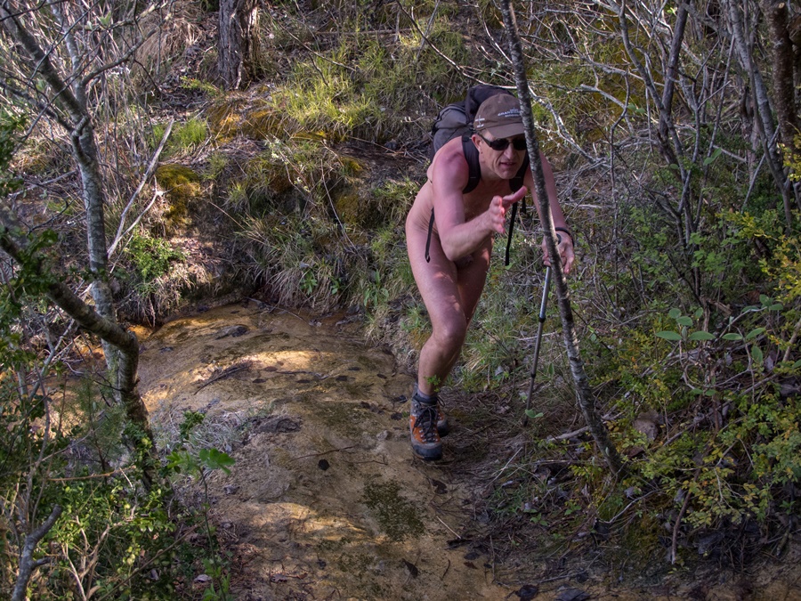
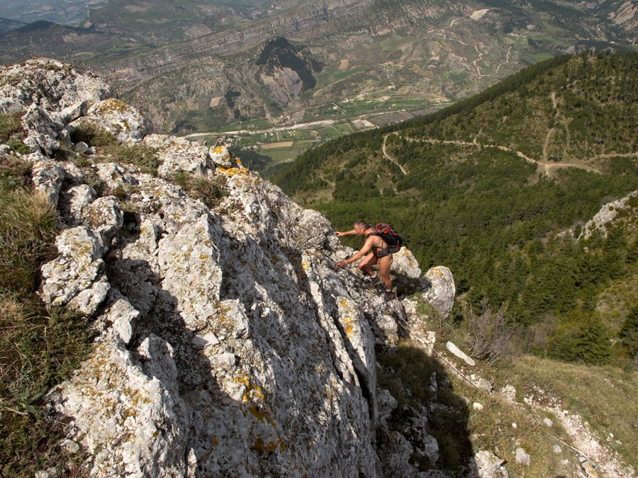
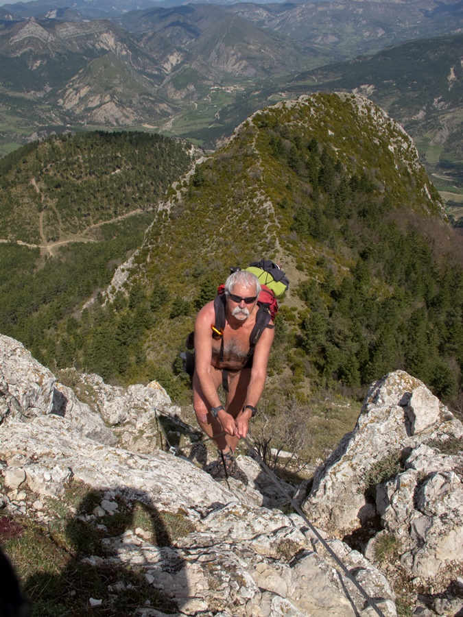
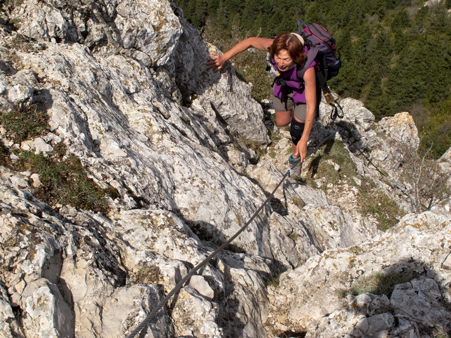
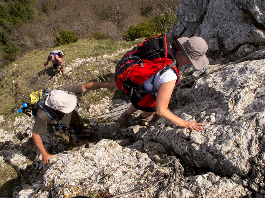
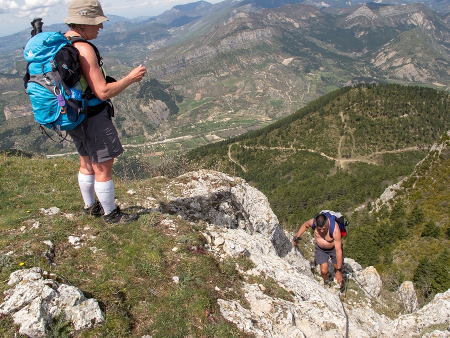
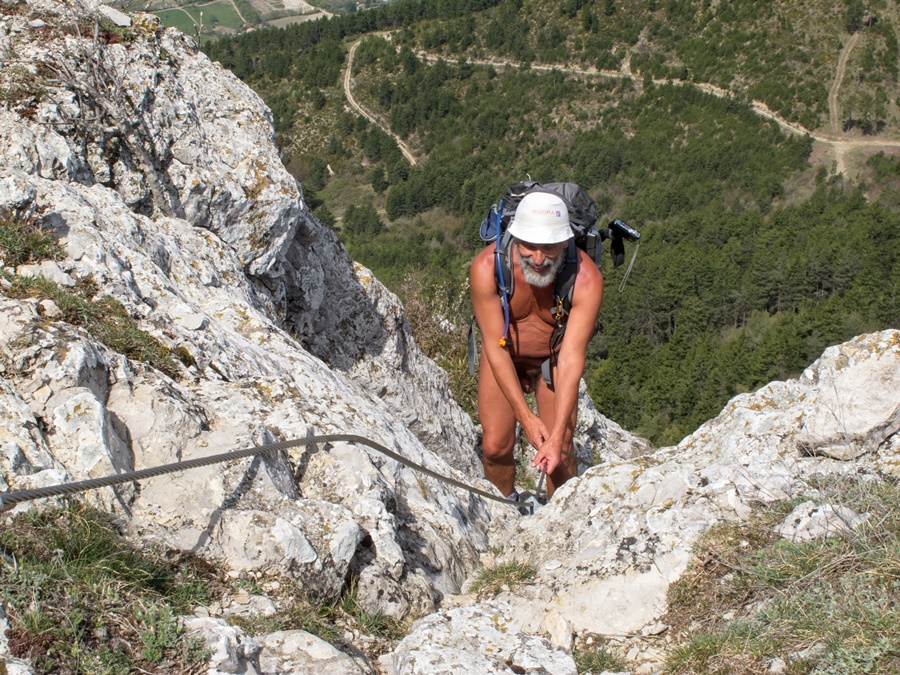
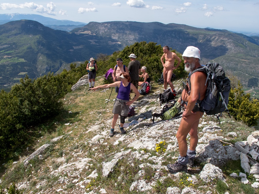
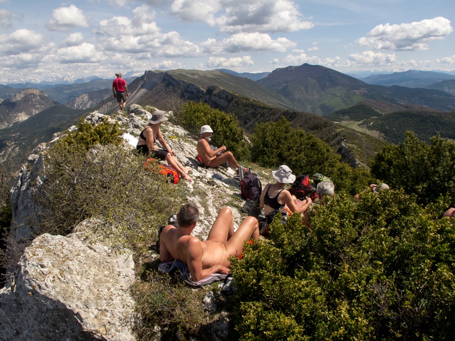
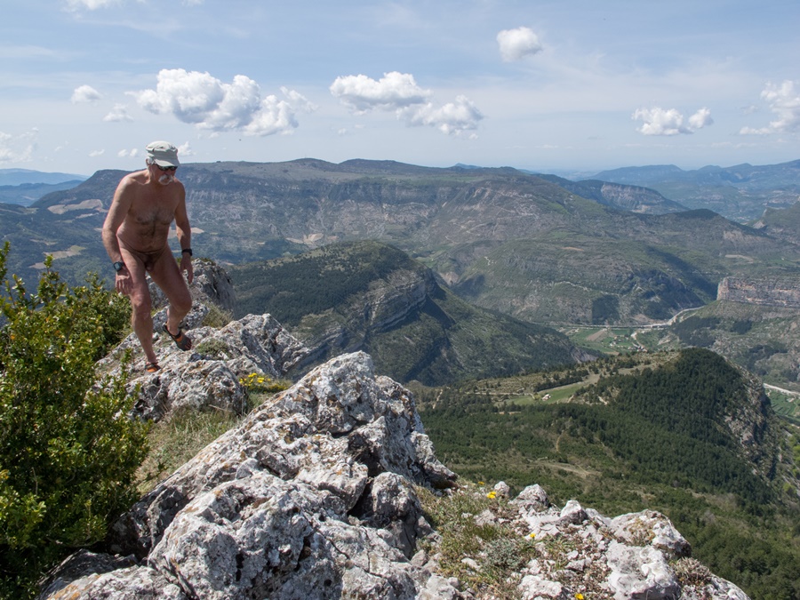
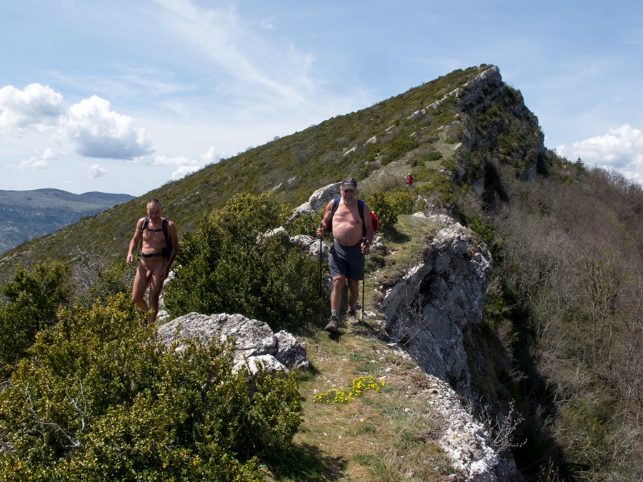
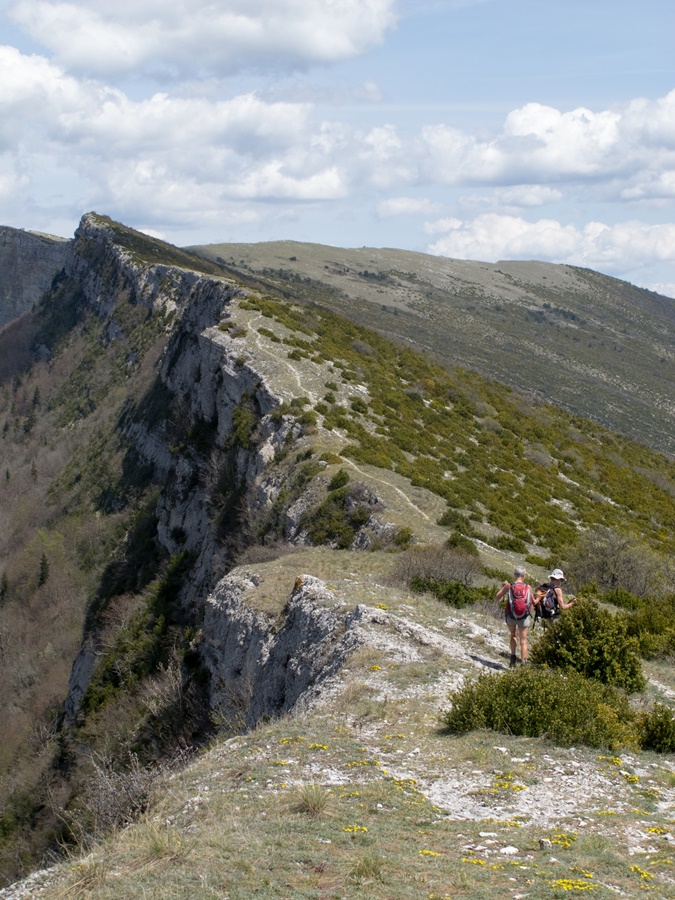
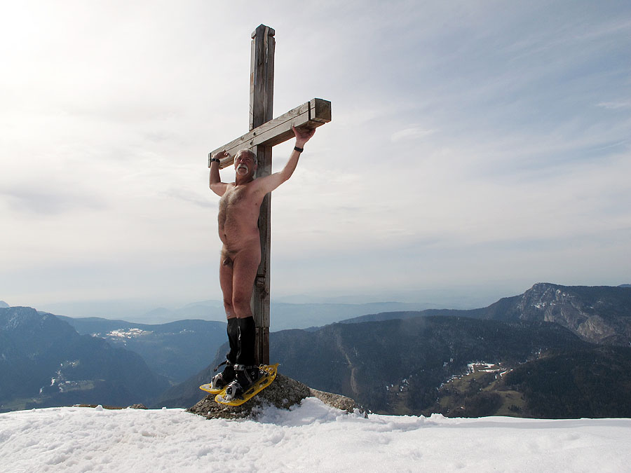
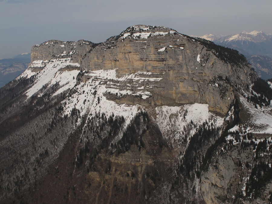
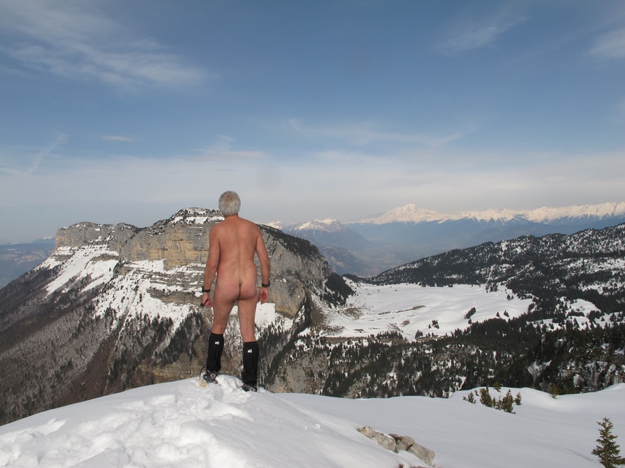
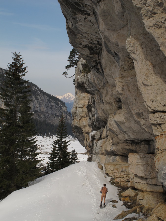
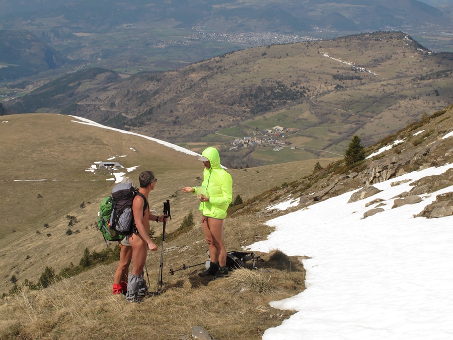
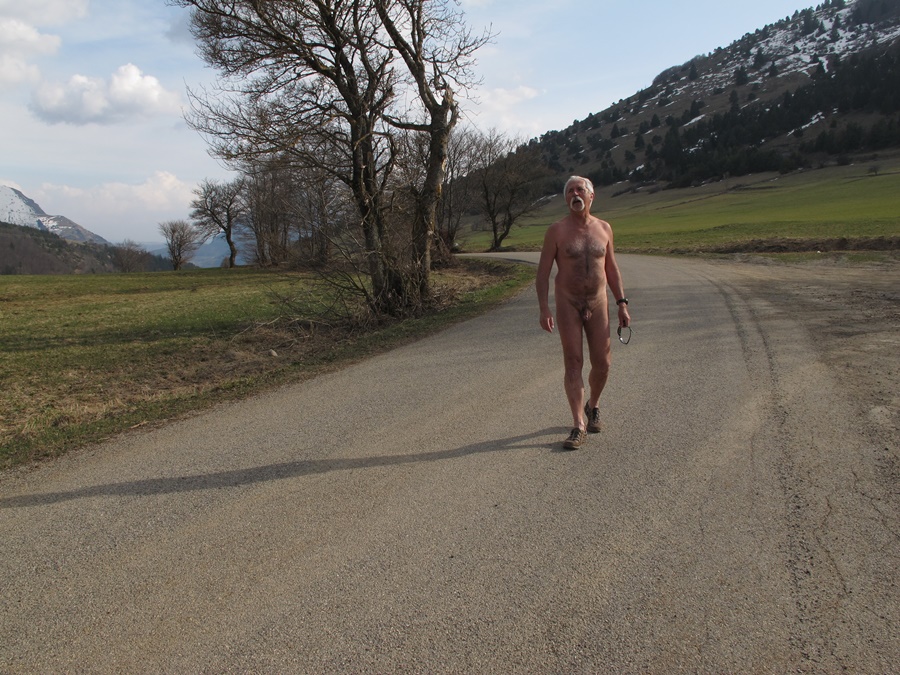
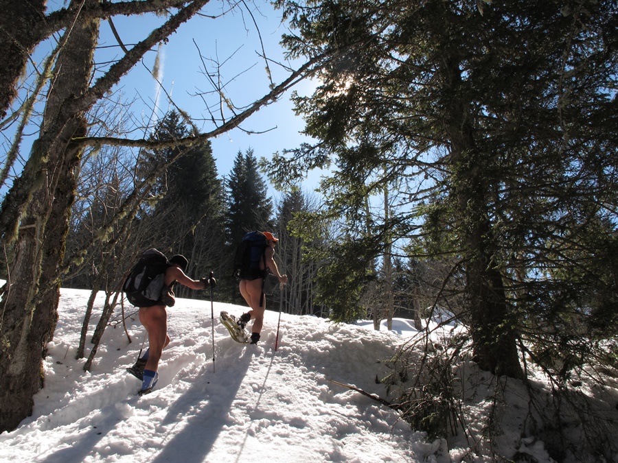
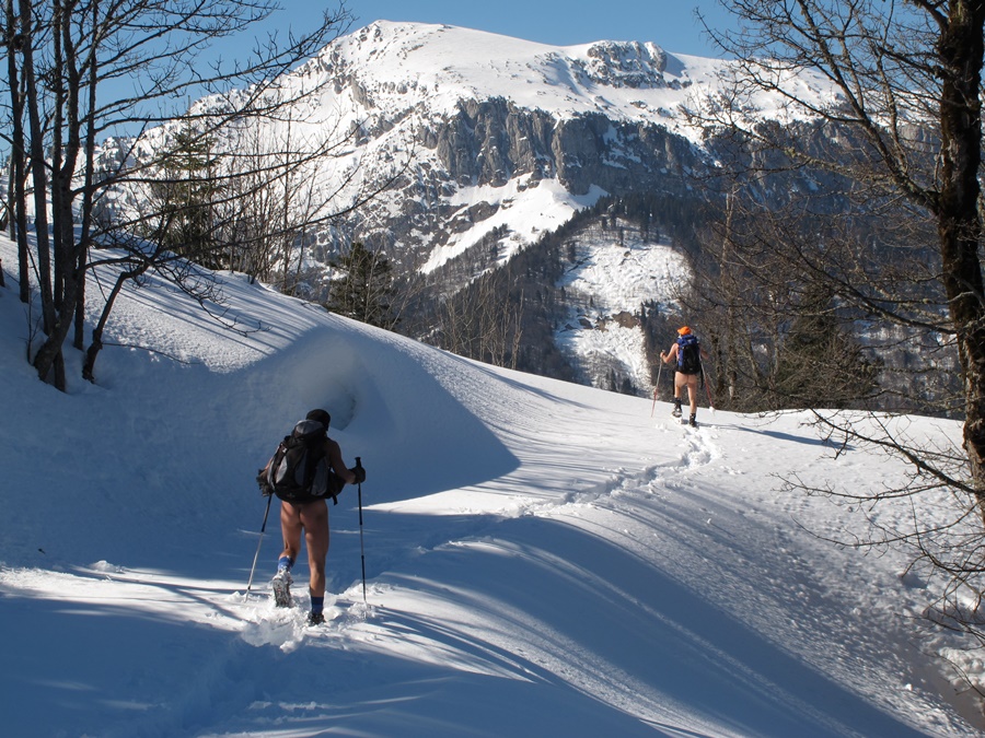
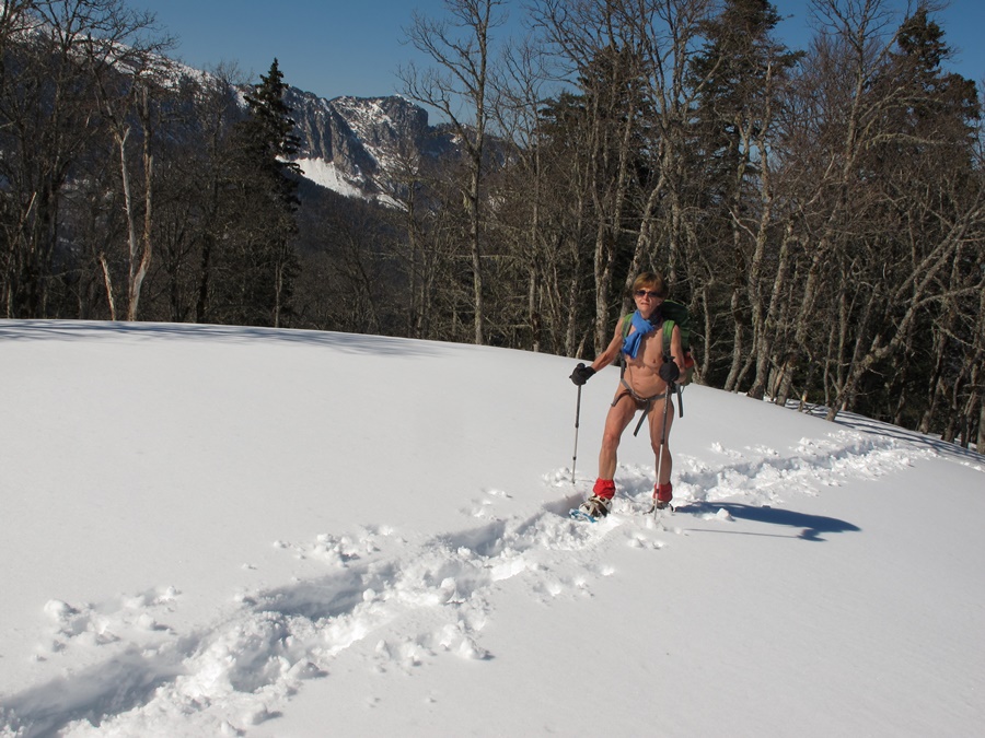
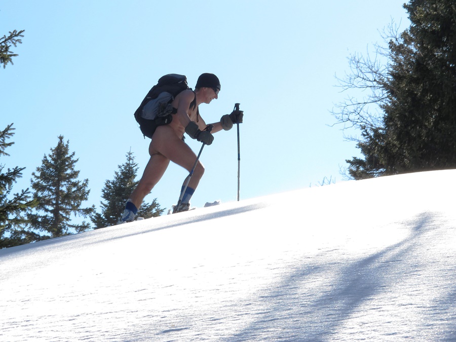
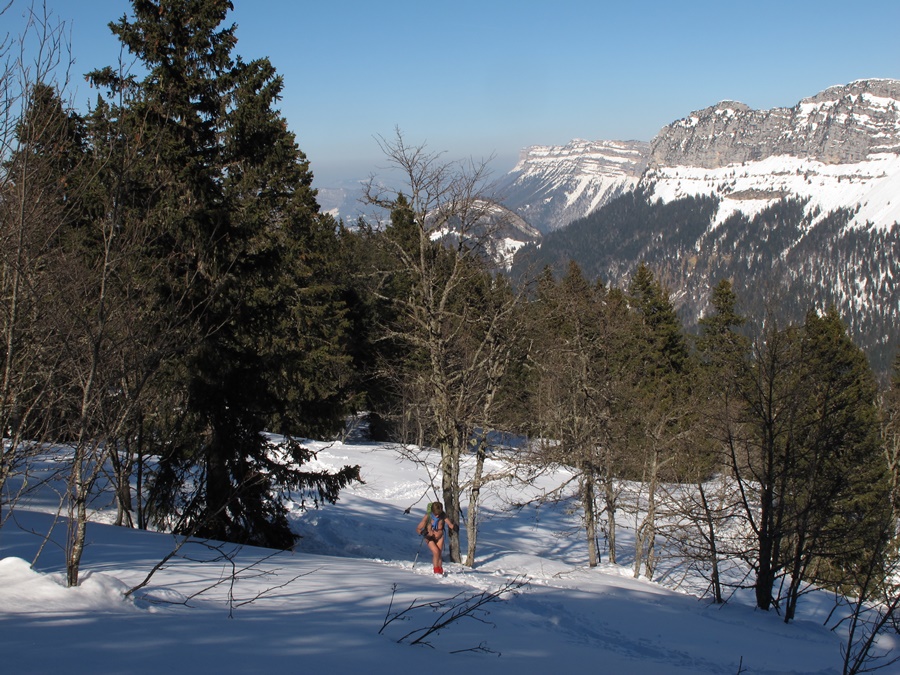
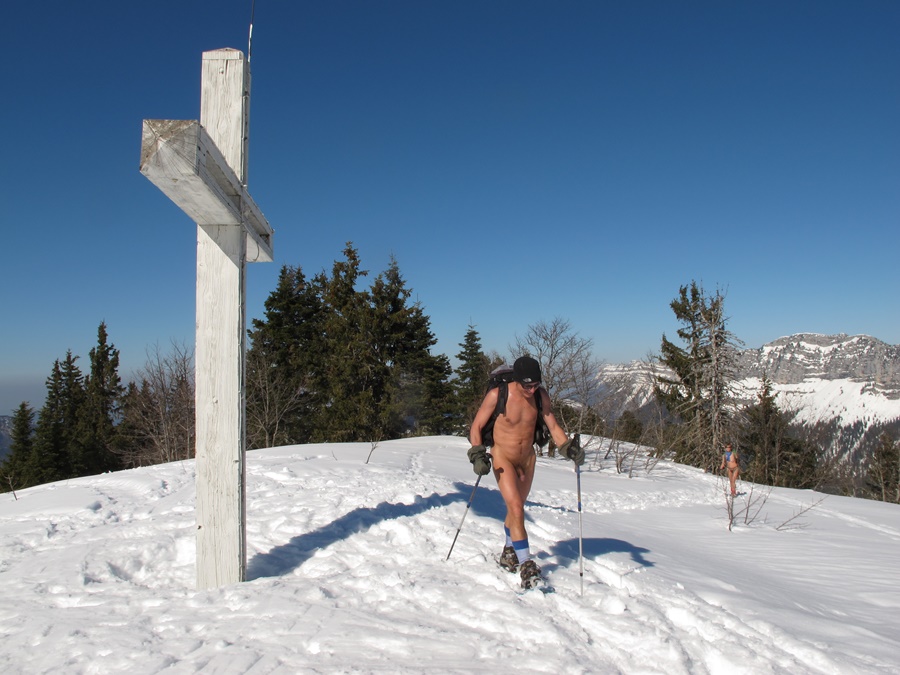
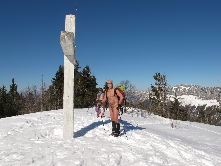
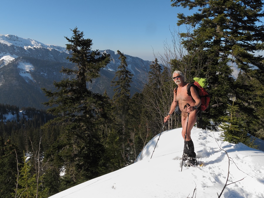
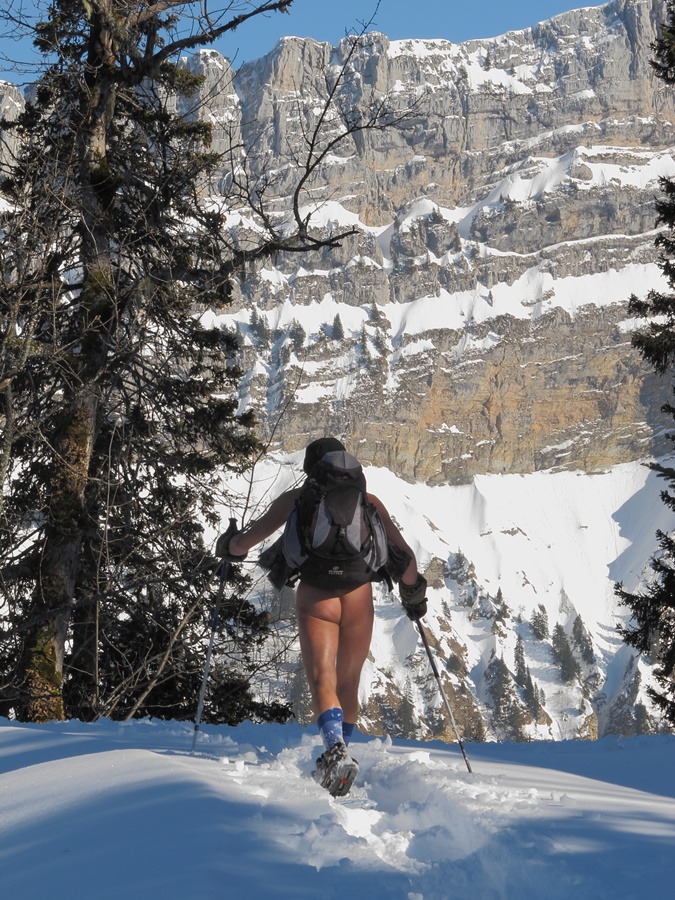
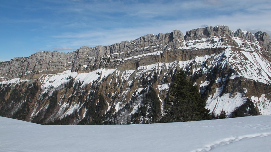
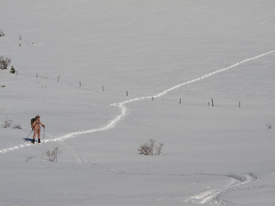
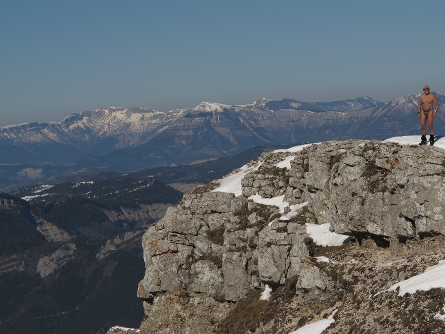
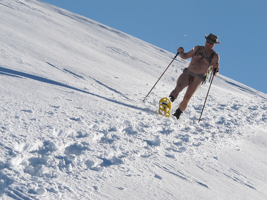
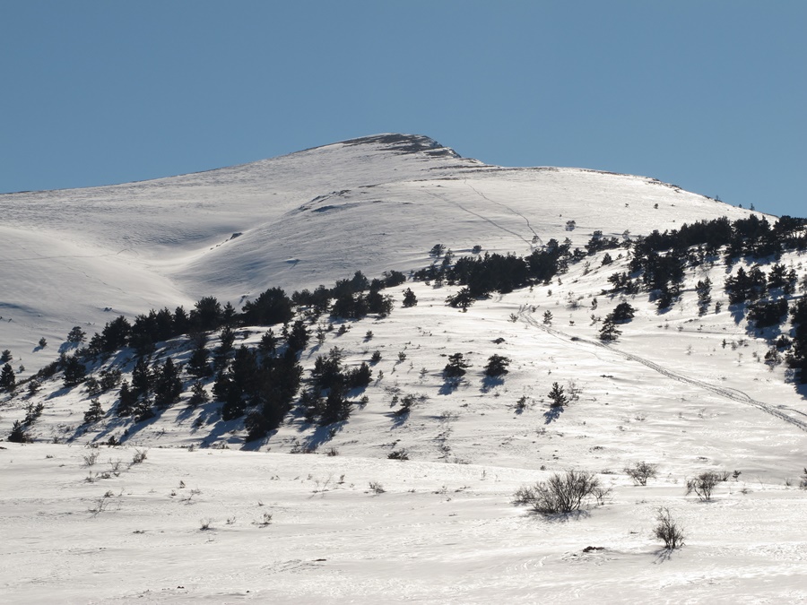
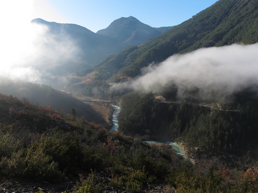
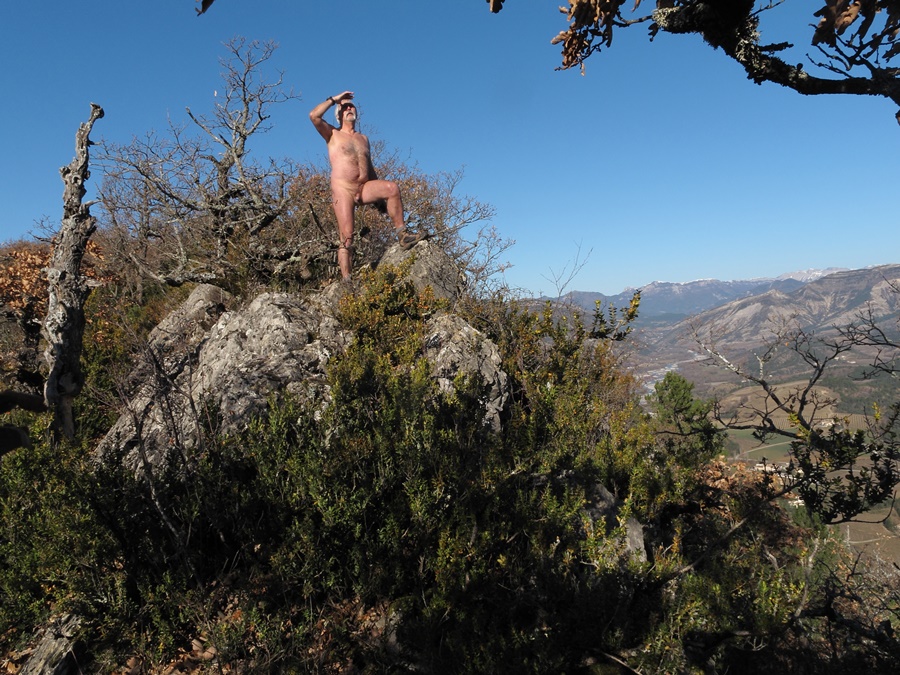
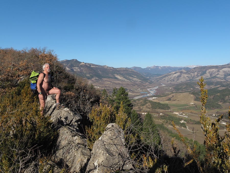
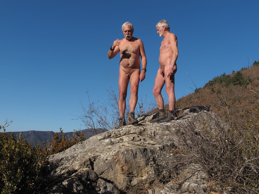
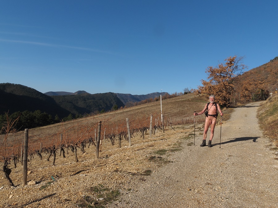
Je me gare au col du Prayer à 5h15. Il fait encore bien nuit, seule une petite lueur blanche derrière l’horizon annonce le jour. Une centaine de mètres sur la route en short et tee shirt. Une voiture passe et m’illumine de ses phares. Dès les premiers mètres du chemin, je me déshabille. La piste forestière est défoncée par les engins de débardage forestiers, boueuse et glissante. J’espère seulement suivre le bon parcours, ne voyant pas dans l’obscurité les balises sur les arbres. la deuxième partie est plus agréable, moins humide. Je sors de la forêt au pied de la butte herbeuse dans le jour qui se fait. J’ai mis une quarantaine de minutes pour arriver au sommet. Je suis la bordure de la crête. J’attrape les premiers rayons du soleil qui se lève derrière les lointains sommets des Écrins et qui illuminent d’un côté les falaises du Vercors: Tête Chevalière, rochers du Parquet, Mont Aiguille, Veymont et toute la barrière est. Sur l’autre versant, je domine le Trièves encore dans l’ombre, parsemé d’écharpes de brumes dans les creux. J’atteins une curiosité géologique: un trou comme une lucarne dans la paroi rocheuse. Séance photo. Puis retour tranquille sur mes pas en profitant du soleil matinal. Un peu en contrebas de moi dans la pente, un troupeau de mouton se déplace lentement. Heureusement, il ne semble y avoir ni berger, ni patou.


I park at the Prayer Pass at 5:15. It is still dark, only a small white glow behind the horizon announces the day. A hundred meters on the road in shorts and tee shirt. A car passes by and illuminates me with its headlights. From the first meters of the path, I undress. The forest track is smashed by the forest logging machines, muddy and slippery. I only hope to follow the right route, not seeing in the dark the marks on the trees. The second part is more pleasant, less wet. I leave the forest at the foot of the grassy knoll in the daytime. It took me about forty minutes to get to the top. I am the edge of the ridge. I catch the first rays of the sun that rises behind the distant summits of the Ecrins and illuminates the cliffs of the Vercors on one side: Tête Chevalière, rocks of the Parquet, Mont Aiguille, Veymont and the whole eastern barrier. On the other side, I dominate the Trièves still in the shade, scattered with mist scarves in the hollows. I reach a geological curiosity: a hole like a window in the rock face. Photo session. Then a quiet return on my steps while enjoying the morning sun. A little below me on the slope, a herd of sheep moves slowly. Fortunately, there seems to be no shepherd or patou.

Fête de la randonnée Paca

Moment historique. Pour la première fois, un comité régional de la Fédération Française de la Randonnée a ouvert un parcours naturiste lors de sa fête de la randonnée, une grande manifestation populaire. C’était en PACA (Provence, Alpes, Côte d’Azur) dans les collines de la montagne de Brignolle, près d’Aix en Provence.
Le lieu de rendez vous était dans le parc du domaine de la Tour d’Arbois, domaine du département des Bouches du Rhône. Un millier de participants y était attendu. Vu les conditions climatiques: froid et humidité , il y a peut être eu quelques défections, mais le parking bien rempli et la noria de car venant des quatre coins de la région ont prouvé que les randonneurs ne craignent pas les éléments.

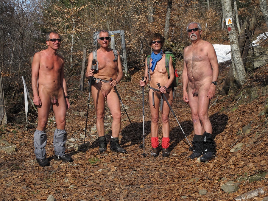
Et les randonneurs naturistes? Ils étaient trente neuf, y compris deux enfants, dont huit femmes. Départ emmitouflés dans les parkas ou ponchos, mais assez vite, les plus téméraires se sont mis nus, malgré une petite pluie fine intermittente. Ensuite, au gré des arrêts, d’autres les ont rejoins. Après la traversée, habillée, si l’on peut dire, d’un short ou paréos vaguement enfilé, du village de La Mérindolle, le parcours s’engageait dans la colline. Là, finalement, tout le monde ou presque s’est retrouvé nu. Après le passage sous le viaduc du TGV, la grimpette sur la piste dans la garrigue a bien réchauffé les corps. Chemin faisant, les discussions allaient bon train. Les adhérents de l’Association Naturiste Phocéenne de Marseille se mêlant aux membres des Randonneurs Nus de Provence de la région de Nice. On est venu aussi de Sisteron, Montpellier, Béziers et Grenoble. C’était l’occasion de mettre un visage sur un nom ou pseudo connu par internet.
Un cabanon de chasseurs offrait un abri pour le repas de midi, mais l’immobilité a ramené fraîcheur et couches de vêtements. Le retour sur la lande du plateau, puis à travers une forêt de chênes et de pins a été celui d’une troupe bigarrée mêlant nudité et semi-nudité, ponchos et parapluies, entrain et un peu de fatigue.
Malgré les conditions climatique, ce fut une belle randonnue de près de 14 kilomètres, qui a certes ravis les participants, mais qui a aussi démontré aux autres randonneurs -textiles- que la rando naturiste avait bien toute sa place dans le monde de la randonnée pédestre. Un grand merci à Jean Paul Guido, a l’origine de cette initiative.


Historic moment. For the first time, a regional committee of the Fédération Française de la Randonnée opened a naturist trail during its « fête de la randonnée », a large popular event. It was in PACA (Provence, Alpes, Côte d’Azur) in the hills of the Brignolle mountain, near Aix en Provence.
The meeting place was in the park of the Tour d’Arbois domain, a domain of the Bouches du Rhône department. A thousand participants were expected. Considering the weather conditions: cold and humidity, there may have been some defections, but the well-filled parking lot and the noria of buses coming from all over the region proved that hikers are not afraid of the elements.
What about naturist hikers? There were thirty-nine of them, including two children, eight of whom were women. They left bundled up in parkas or ponchos, but soon enough, the most daring of them got naked, in spite of an intermittent light rain. Then, as the stops went by, others joined them. After the crossing, dressed, so to speak, in shorts or pareos vaguely put on, of the village of La Mérindolle, the route went into the hill. There, in the end, almost everyone found themselves naked. After passing under the TGV viaduct, the climb on the track in the garrigue warmed up the bodies well. Along the way, discussions were going well. Members of the Association Naturiste Phocéenne de Marseille mingled with members of the Randonneurs Nus de Provence from the Nice area. We also came from Sisteron, Montpellier, Béziers and Grenoble. It was an opportunity to put a face on a name or nickname known by internet.
A hunters’ hut offered shelter for lunch, but the immobility brought back freshness and layers of clothes. The return on the moor of the plateau, then through a forest of oaks and pines was that of a colourful troop mixing nudity and semi-nudity, ponchos and umbrellas, enthusiasm and a little tiredness.
In spite of the climatic conditions, it was a beautiful hike of almost 14 kilometres, which certainly delighted the participants, but which also demonstrated to the other hikers – clothed – that the naturist hike had indeed all its place in the world of hiking. A big thank you to Jean Paul Guido, the initiator of this initiative.

Grandchamp

Un jour de juillet 2008, je suis descendu des Bannettes vers Pomarey en empruntant un chemin qu’un vététiste rencontré un peu plus tôt m’avais indiqué. C’est un tout petit sentier qu’il faut deviner parfois, qui descend assez raide dans la forêt.
A un moment, il passe juste à coté d’une ancienne galerie, trou sombre et mystérieux. Sans lumière, je n’ai pas osé m’y aventuré, mais j’ai eu envie d’en savoir plus sur cet endroit. Des recherches sur internet et deux contacts avec des passionnés des vestiges souterrains m’ont appris qu’il pouvait s’agir soit d’une mine du temps où les chartreux exploitaient le fer, soit d’une entrée de carrière de pierre, comme il y en avait quelques autres dans le coin. Finalement, j’ai décidé de retourner y jeter un coup d’œil. Tout seul. Pas très prudent, mais tellement tentant. Cette fois je me suis équipé d’une corde, d’un casque et d’une lampe frontale. Une fois passée la grande flaque d’eau qui stagne à l’entrée, la galerie s’enfonce sur environ vingt cinq mètres puis est fermée par un éboulis.
Bien courte exploration, mais qui m’a permit d’en apprendre un peu plus sur l’histoire de ma région.

Avril 2013. Premier week-end véritablement printanier avec de la chaleur et du soleil. Las, je travaille une bonne partie de samedi et le dimanche matin. Il ne me reste plus que les quelques heures du dimanche après midi pour en profiter.
Je décide d’aller revisiter la galerie de Grandchamp, au dessus de Pomarey. D’abord, il devrait y avoir une nouvelle geocache, ensuite, c’est plutôt à l’écart des chemins fréquentés par les promeneurs dominicaux. J’atteins l’entrée de l’ancienne galerie de mine. Le sol en est très humide, entre flaques d’eau, ruissellement et boue de glaise. A la lumière de la frontale, j’atteins l’extrémité du boyau, obstrué de roches. Je trouve rapidement la cache en déplaçant quelques cailloux glissants. Attention de ne pas se cogner la tête, le plafond est bas. Demi tour vers l’air libre.


One day in July 2008, I came down from Les Bannettes towards Pomarey by taking a road that a mountain biker I had met earlier had indicated to me. It’s a very small path that you have to guess sometimes, which goes down quite steeply in the forest.
At one point, it passes right next to an old gallery, a dark and mysterious hole. Without light, I didn’t dare to venture there, but I wanted to know more about this place. Research on the internet and two contacts with people who were passionate about the underground remains taught me that it could be either a mine from the time when the Carthusian monks exploited iron, or an entrance to a stone quarry, as there were a few others in the area. Finally, I decided to go back and have a look. Alone. Not very careful, but so tempting. This time I equipped myself with a rope, a helmet and a headlamp. Once I got past the large puddle of water stagnating at the entrance, the gallery sank for about twenty-five metres and was closed by a scree.
It was a very short exploration, but one that allowed me to learn a little more about the history of my region.

April 2013. First truly springtime weekend with warmth and sunshine. Alas, I work a good part of Saturday and Sunday morning. I only have the few hours left on Sunday afternoon to enjoy it.
I decide to revisit the gallery in Grandchamp, above Pomarey. First, there should be a new geocache, then it’s rather off the paths frequented by Sunday walkers. I reach the entrance of the old mine gallery. The ground is very wet, between puddles, runoff and clay mud. In the light of the headlamp, I reach the end of the gut, blocked with rocks. I quickly find the cache by moving a few slippery rocks. Be careful not to hit my head, the ceiling is low. I turn back towards the open air.

Le Chatelleret

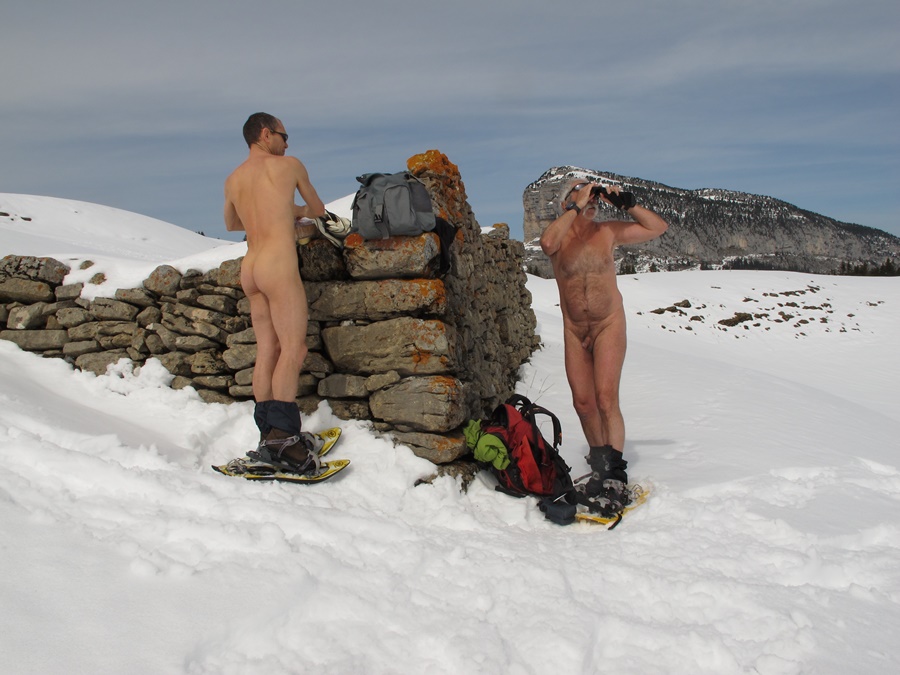
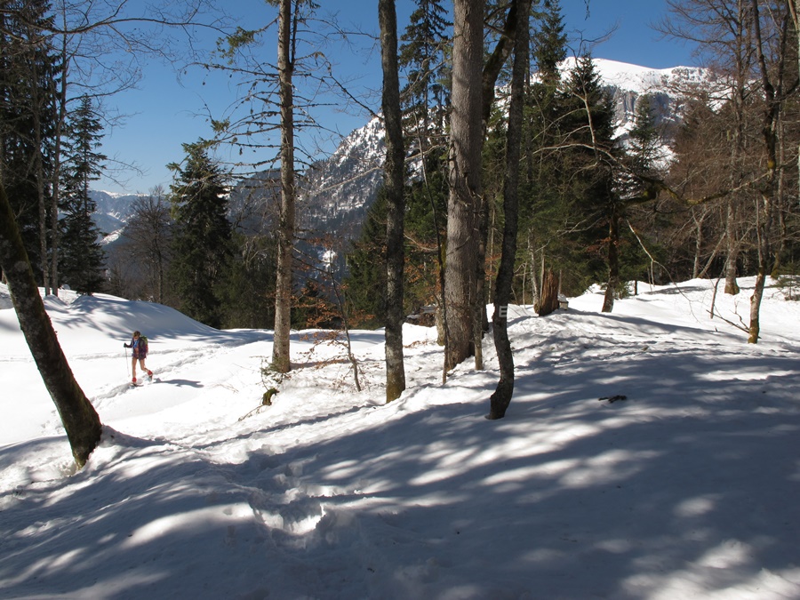
Bruno avait proposé une rando dans le vallon des Etançons à la Berarde. Évidement, je suis partant, même si c’était une destination qui ne me serait pas venu à l’idée en cette saison. Pourtant, la route n’est pas encore coupée et la neige de début de saison qui a pu effrayer les randonneurs a bien fondue et n’est pas encore suffisante pour les skieurs. Les raquettes sont inutiles et resteront dans le coffre de la voiture.
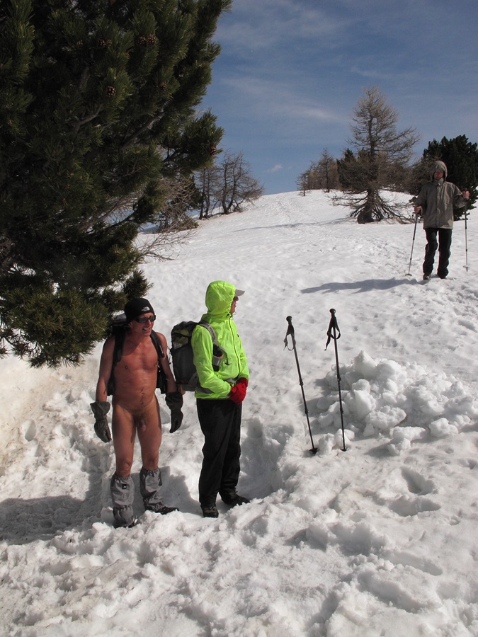
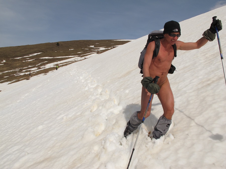
Le ciel est radieux, le vent absent. Départ habillé, pantalon et polaires, mais au bout de dix minutes, encore en vue du hameau, la chaleur se fait sentir. Arrêt pour enlever une polaire…allez, autant tout quitter.
On grimpe au dessus de la Berarde, on laisse de côté le chemin de la Tête de la Maye, puis on s’engage sur le versant droit dans le vallon. Légère descente pour traverser le torrent sur une passerelle et court moment à l’ombre et à la fraîcheur. On débouche en vue de la face sud de la Meije, majestueuse qui bouche l’axe du vallon. La montée est douce et régulière. La neige peu épaisse et dure crisse sous les pas. Quelques grandes enjambées au dessus de petits torrents. On se sent vraiment seul dans ce décor de neige et de rocher. Ah, non. Un randonneur descend. Comme il nous a vu, inutile de se changer. Il nous conseille en souriant de ne pas oublier la crème solaire. On arrive au refuge du Chatelleret. Un autre randonneur passe et s’éloigne. Il nous suivra tout à l’heure à la descente en restant à distance respectueuse!
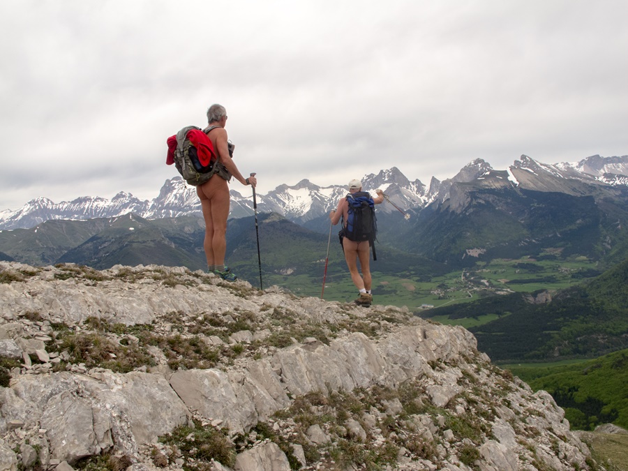
Longue pose déjeuner et photos sur la terrasse devant le refuge. On resterait bien là des heures à lézarder et à admirer le panorama des montagnes environnantes mais il vaut mieux redescendre avant que le soleil ne baisse trop derrière les sommets et que l’ombre n’envahisse la vallée.
C’était vraiment la journée idéale pour une randonnue en cette saison. Qu’il ne fallait pas rater!


Bruno had proposed a hike in the Etançons valley at La Berarde. Obviously, I’m in, even if it was a destination that would not have occurred to me at this time of year. However, the road is not yet cut and the snow from the beginning of the season, which may have scared the hikers, has melted and is still not enough for the skiers. Snowshoes are useless and will stay in the trunk of the car.
The sky is radiant, the wind is absent. Departure dressed, trousers and fleeces, but after ten minutes, still in sight of the hamlet, the heat is felt. Stop to take off a fleece…come on, we might as well drop everything.
We climb over the Berarde, let aside the path of the Tête de la Maye, then we go on the right side of the valley. Slight descent to cross the torrent on a footbridge and short moment in the shade and coolness. We come out in view of the south face of the Meije, which majestically blocks the axis of the valley. The ascent is gentle and regular. The thin and hard snow crunches under the footsteps. Some big strides above small torrents. One feels really alone in this scenery of snow and rock. Ah, no. A hiker comes down. Since he saw us, there’s no need to change. With a smile, he advises us not to forget the sunscreen. We arrive at the Chatelleret refuge. Another hiker passes by and walks away. He will follow us down the hill, but keep a respectful distance!
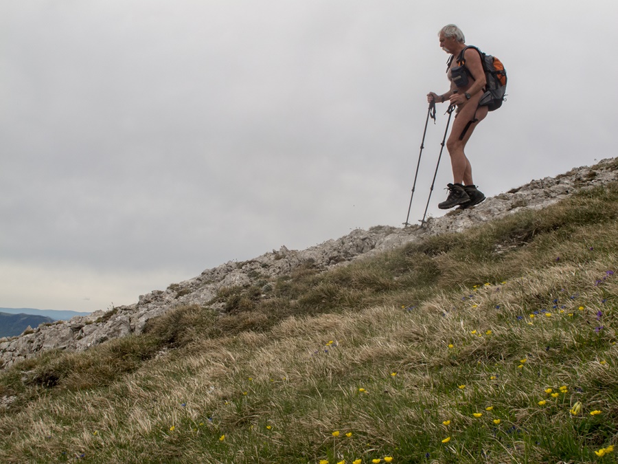
Long lunch break and photos on the terrace in front of the refuge. We would have liked to stay there for hours to laze around and admire the panorama of the surrounding mountains, but it is better to go back down before the sun goes down too much behind the peaks and the shade invades the valley.
It was really the ideal day for a naked hike in this season. A day not to be missed!
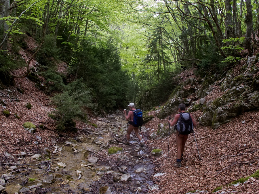
Calanques de Cassis

Rendez-vous raté avec les calanques.
Je me suis inscrit à Marseille – Cassis, une course à pieds mythique de vingt kilomètres avec les trois cent et quelques mètres de dénivelé du passage au col de la Gineste. La course se déroulant le dimanche 28 octobre, je me suis programmé quelques jours de séjour à Cassis, à l’entrée des calanques. Las, la météo n’a pas été vraiment au rendez-vous.
A mon arrivée le vendredi, un déluge de pluie m’a accueilli. Les rues de la ville inondées et l’eau du port d’une couleur marron inhabituelle. Dans la nuit de vendredi à samedi, la pluie a laissé la place au vent. Un mistral violent qui a dégagé le ciel. Samedi, le soleil inondait le paysage, le blanc des rochers, le bleu ou le vert de la mer, mais le vent toujours présent était bien sensible. Malgré tout, en short et tee shirt, j’ai suivi ce début de chemin des calanques par Port Miou, Port Pin et la direction d’En Vau. Mais en week end il y a du monde sur ce chemin très classique. Alors pas de randonnue, mais j’ai réussi à m’isoler pour une bonne heure et demi de bain de soleil, à l’abri du vent, d’abord sur la pointe d’En Vau puis sur les dalles de rocher de la pointe de Cacau.
Dimanche, la course a commencé par une longue attente glaciale près du stade vélodrome, mais dés le départ donné, s’est ensuite déroulé de façon parfaite pour moi. Je me suis senti à l’aise tout au long du parcours et ai effectué un meilleur chrono que prévu.
Le lundi, sur les conseils de Bruno, j’avais prévu une randonnue vers le mont Puget, mais vue la température toujours très froide, j’ai laissé tomber et repris la route pour Grenoble…et la neige!
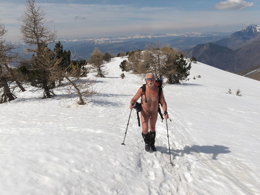

Missed rendezvous with the creeks.
I signed up for Marseille – Cassis, a mythical twenty-kilometre foot race with the three hundred or so metres of difference in altitude of the passage at the Col de la Gineste. The race takes place on Sunday, October 28th, and I planned to spend a few days in Cassis, at the entrance to the calanques. Unfortunately, the weather was not really good.
When I arrived on Friday, a deluge of rain greeted me. The streets of the city were flooded and the water in the port was an unusual brown color. During the night from Friday to Saturday, the rain gave way to the wind. A violent mistral wind that cleared the sky. On Saturday, the sun flooded the landscape, the white of the rocks, the blue or green of the sea, but the ever-present wind was very noticeable. Despite everything, in shorts and tee shirt, I followed this beginning of the path of the calanques by Port Miou, Port Pin and the direction of En Vau. But during the week end there are people on this very classic path. So no naked hiking, but I managed to isolate myself for a good hour and a half of sunbathing, sheltered from the wind, first on the pointe d’En Vau and then on the rock slabs of the pointe de Cacau.
On Sunday, the race started with a long icy wait near the velodrome stadium, but as soon as the start was given, it went perfectly for me. I felt comfortable all along the course and set a better time than expected.
On Monday, on Bruno’s advice, I had planned a naked hike to Mount Puget, but due to the still very cold temperature, I gave up and headed back to Grenoble…and the snow!
La Plane

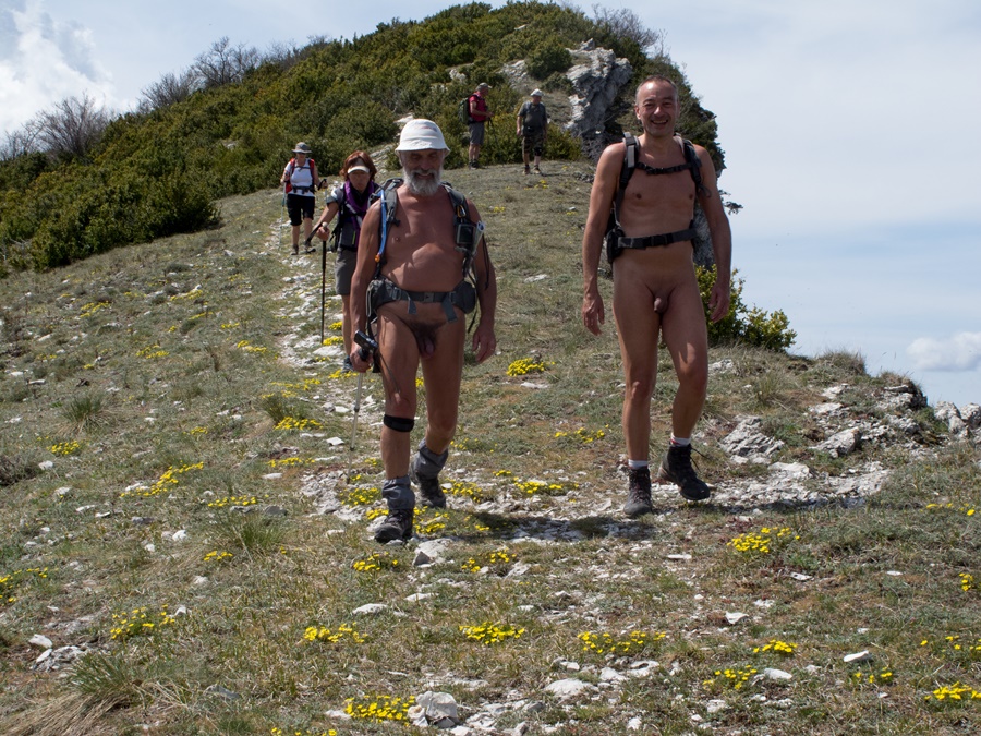
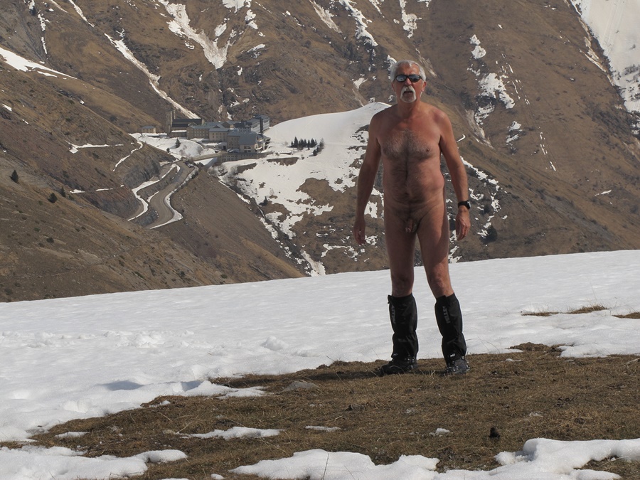
Pour cette sortie dans le Dévoluy, Franck de Gap, avait donné rendez-vous à la cabane de l’Avalanche, un parking au bout d’une piste au dessus de Saint Etienne en Dévoluy. Arrivé la veille au soir en camping car, je pensais être tranquillement seul mais les passagers de cinq ou six voitures ont débarqué dans la soirée pour bivouaquer. Devant une telle affluence, j’ai crains un moment pour notre randonnue. Mais, randonneurs ou grimpeurs, tout le monde était déjà parti quand à 9 heures nous nous sommes retrouvés à cinq, trois hommes, Franck, Philippe et moi même, et deux femmes , Sylvie et Patricia.
Nous avons donc pu entamer la balade en tenue de nudité. Elle le sera à 99,99%.
La mise en jambe est douce par une large piste qui débouche au sortir de la forêt dans un vallon inondé de lumière, resplendissant du jaune des herbages en fin d’été. La piste mène à une bergerie, puis se transforme en sentier qui monte paisiblement vers le col de Rabou. Du col, on domine la vallée du petit Buech, dont le versant est beaucoup plus abrupt et raide. Alors que l’on admire le paysage, deux vététistes apparaissent : « Alors, vous faites une randonnue ? Comme dans le film ?» Comme quoi, les reportages à la télévision banalisent finalement plutôt bien notre activité !
Du col, on rejoint trois gros pylônes, puis c’est droit dans la pente. Il n’y a plus de chemin. Il suffit de suivre la ligne de crêtes et le bord supérieur des falaises. Le rythme se fait plus lent et le groupe s’éparpille le long de la pente, mais finalement tout le monde se retrouve au sommet de la Plane, à 2340 mètres d’altitude, juste en face du pic de Bure. Le paysage est ouvert sur 360°. Dommage qu’il soit quelque peu brumeux dans les lointains.
Pique nique et sieste, sous la surveillance d’une marmotte. Pour le retour, on décide de couper droit en direction de la bergerie. En passant on inspecte une petite grotte, en fait un trou sans profondeur dans la falaise. Une autre grotte beaucoup plus importante est visible en contrebas, mais malheureusement inaccessible pour nous.
En rejoignant la piste, et pour éviter le chien patou du berger, on doit passer à proximité de deux promeneurs et vaguement se rhabiller durant trois minutes. Retour au parking après huit heures de balade. Je n’ai vraiment pas envie de me rhabiller. Je vais conduire nu jusqu’à rejoindre une route fréquentée à Corps.


For this outing in the Dévoluy, Franck of Gap, had given appointment at the Avalanche hut, a car park at the end of a track above Saint Etienne en Dévoluy. Arriving the evening before in a camper, I thought I was quietly alone but the passengers of five or six cars disembarked in the evening to bivouac. In front of such a rush, I feared for a moment for our naked hike. But, hikers or climbers, everyone had already left when at 9 o’clock we found ourselves at five, three men, Franck, Philippe and myself, and two women, Sylvie and Patricia.
So we could start the walk in naked clothes. It will be 99.99%.
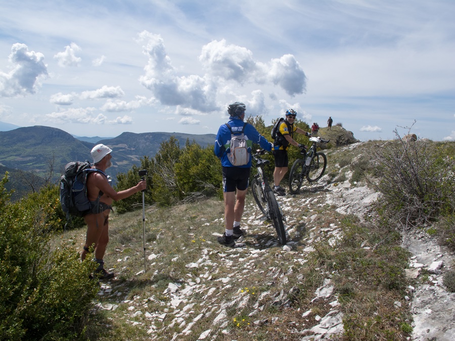
The start is soft by a wide track that leads out of the forest in a valley flooded with light, resplendent with the yellow of the grasslands in late summer. The track leads to a sheepfold, then turns into a path that climbs peacefully up to the Rabou Pass. From the pass, one dominates the valley of the Petit Buech, whose slope is much steeper and more rugged. While admiring the landscape, two mountain bikers appear: « So, are you hiking naked? Like in the movie? » So the television reports finally trivialize our activity rather well!
From the pass, we reach three big pylons, then it’s straight down the slope. There’s no more path. You just have to follow the ridge line and the top edge of the cliffs. The rhythm becomes slower and the group disperses along the slope, but finally everyone ends up at the top of the Plane, at 2340 meters of altitude, just in front of the peak of Bure. The landscape is open on 360°. It’s a pity that it’s a bit foggy in the distance.
Picnic and siesta under the surveillance of a marmot. For the return trip, we decide to cut right towards the sheepfold. On the way back, we inspect a small cave, in fact a shallow hole in the cliff. Another much larger cave is visible below, but unfortunately inaccessible to us.
On the way back to the track, and to avoid the shepherd’s pawdog, we have to pass close to two walkers and vaguely dress for three minutes. Return to the parking lot after eight hours of walking. I really don’t feel like getting dressed. I’m going to drive naked until I reach a busy road in Corps.

Petit Renaud

Je suis parti tôt de Chantelouve pour éviter les grosses chaleurs et la fréquentation, d’où la possibilité de me déshabiller très rapidement en attaquant la piste forestière au dessus du village.
La piste se transforme en chemin, puis en sentier qui traverse foret et champs d’herbe encore humide de rosée. Je dois quitter cet itinéraire et prendre un chemin qui s’engage en sous bois sur la droite. Évidemment, je le rate et dois faire demi-tour un peu plus haut en constatant mon erreur. La vieille piste est plutôt raide. Les nuages qui étaient au dessus de moi au départ sont maintenant en dessous et forment une rivière de nuages qui coule dans la vallée, qui vient lécher les pentes du relief. Au dessus, c’est grand ciel bleu!
J’arrive à la cabane de la Montagne, un petit chalet d’alpage en bois. Il semble vide à cet heure là et je passe devant tranquillement. Je continue vers l’alpage du Vallon et quitte le versant à l’ombre pour me retrouver face au soleil. Dans le contrejour, j’aperçois soudain, dans un virage, la silhouette d’un berger qui me précède d’une vingtaine de mètres. Je remet un short pour le rejoindre. C’est une jeune bergère qui me demande aussitôt si je viens pour la «boite». Eh oui, il y a bien une geocache planquée plus haut.
Le chemin s’arrête là dans l’alpage. Ensuite, il faut tirer tout droit dans la pente. Ce vallon qui semblait débonnaire, se montre finalement épuisant. A mi hauteur, je repère le tas de pierre qui recouvre la boite. Cette cache est située à la confluence de degrés exacts de latitude et longitude: le 45° Nord et le 6° Est. J’ai découvert à l’occasion qu’il y avait dans le monde des chasseurs de confluences.
Le sommet du Petit Renaud est deux cent mètres au dessus, bien exposé au vent qui s’est levé. Je le rejoins et trouve un recoin à l’abri pour me restaurer et me reposer. Je domine le village de Villard Reymond. Les massifs de l’Oisans et la station de l’Alpe d’Huez sont en face de moi. Il n’y a pas la moindre présence humaine à perte de vue.


I left early from Chantelouve to avoid the heat and the crowds, hence the possibility to undress very quickly by attacking the forest track above the village.
The track turns into a path, then into a small path that crosses forest and fields of grass still wet with dew. I have to leave this route and take a path that goes into the undergrowth on the right. Of course, I miss it and have to turn back a little further up when I realize my mistake. The old track is rather steep. The clouds that were above me at the beginning are now below me and form a river of clouds that flows down the valley, licking the slopes of the relief. Above, it’s a big blue sky!
I arrive at the Cabane de la Montagne, a small wooden mountain pasture chalet. It seems empty at this hour and I pass by quietly. I continue towards the Vallon mountain pasture and leave the slope in the shade to find myself facing the sun. In the backlight, I suddenly see, in a bend, the silhouette of a shepherd who precedes me by about twenty meters. I put on my shorts to join him. It is a young shepherdess who asks me immediately if I come for the « box ». Yes, there is a geocache hidden higher up.
The path stops there in the mountain pasture. Then you have to pull straight up the slope. This valley, which seemed to be a bit debonair, finally proves to be exhausting. Halfway up, I spot the pile of stone covering the box. This cache is located at the confluence of exact degrees of latitude and longitude: 45° North and 6° East. I discovered on occasion that there were confluence hunters in the world.
The summit of the Petit Renaud is two hundred meters above, well exposed to the rising wind. I join him and find a sheltered spot to eat and rest. I dominate the village of Villard Reymond. The Oisans mountains and the Alpe d’Huez resort are in front of me. There’s no human presence as far as the eye can see.

La Sablière

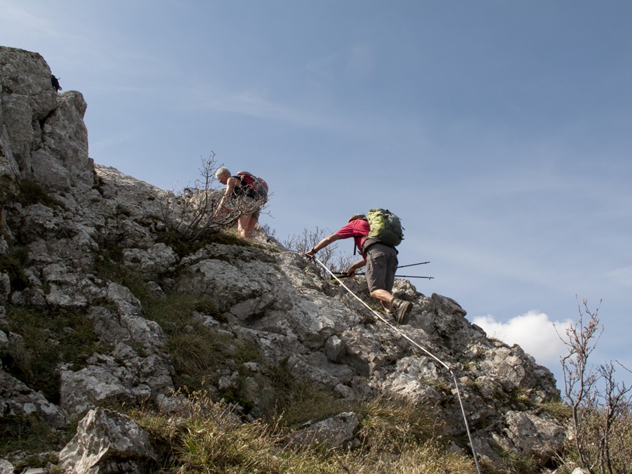
Nous sommes une quinzaine pour cette petite balade, plutôt que rando, dans la vallée de la Céze depuis le camping de la Sablière. Nous prenons le premier chemin à l’extérieur du camping, chemin large et à peu près plat, sur près d’un kilomètre et demi, puis un étroit sentier, qui descend dans la garrigue, entre chênes et buis odoriférants. Ce sentier évite de suivre la piste carrossable que nous rejoignons à proximité de l’ermitage de Saint Ferreol. Pendant que les autres membres du groupe visitent le bâtiment et la chapelle, j’en profite pour m’éloigner un peu et trouver une cache. Il était question de continuer sur l’autre rive de la Cèze en direction des 3 arches, mais, le niveau de l’eau rend la traversée hypothétique. C’est donc un retour vers le camping en suivant la rive. Il y a juste un passage légèrement acrobatique équipé d’un câble pour mettre un peu d’animation.


We are about fifteen of us for this little walk, rather than a hike, in the Céze valley from the Sablière campsite. We take the first path outside the campsite, which is wide and almost flat, for about a kilometer and a half, then a narrow path, which goes down into the garrigue, between fragrant oaks and box trees. This path avoids following the track that we reach near the hermitage of Saint Ferreol. While the other members of the group visit the building and the chapel, I take the opportunity to move away a little and find a cache. It was planned to continue on the other bank of the Cèze in the direction of the 3 arches, but the water level makes the crossing hypothetical. It is thus a return towards the campsite by following the bank. There is just a slightly acrobatic passage equipped with a cable to put some animation.

Sillé le Guillaume

Ce n’est plus la Normandie, mais les Pays de la Loire, administrativement parlant…mais les paysages se ressemblent. Plats…à peine légèrement vallonnés.
Arrêt dans cette belle forêt de Sillé le Guillaume. Repos près du lac et de la plage encore déserte en cette saison, puis je roule jusqu’à une extrémité de la forêt à la recherche d’une geocache. Je me gare le long de la route forestière qui traverse la forêt de part en part et marche en direction d’un oratoire. Comme je ne connais absolument pas la région, ni la fréquentation de la forêt, je reste habillé d’un short. Je trouve l’oratoire, mais m’aperçois que la cache est à quelque distance. Hors du chemin, je peux me déshabiller pour continuer la recherche.
Finalement je trouve la cache dans le creux d’un rocher. Mais puisque je suis là, en pleine forêt, je décide de continuer et d’explorer les environs. Je traverse une sorte de clairière où je me pose. A proximité, un tapis d’herbe verdoyant resplendit sous le soleil. Je quitte les chaussures pour fouler cette herbe tendre. Mal m’en prend. Cachés sous l’herbe fraîche, quelques vieux bogues de châtaignes s’attaquent à mes pieds nus. Aïe! Mieux vaut faire attention où l’on pose les pieds! Voilà ce qui arrive à celui qui ne sait pas reconnaître les arbres!


This is no longer Normandy, but the Pays de la Loire, administratively speaking…but the landscapes are similar. Flat…barely hilly.
Stop in this beautiful forest of Sillé le Guillaume. Rest near the lake and the beach still deserted in this season, then I drive to one end of the forest in search of a geocache. I park along the forest road that crosses the forest from one end to the other and walk towards an oratory. As I know absolutely nothing about the area and the forest, I stay dressed in shorts. I find the oratory, but realize that the cache is some distance away. Out of the path, I can undress to continue the search.
Finally I find the cache in the hollow of a rock. But since I am there, in the middle of the forest, I decide to continue and explore the surroundings. I cross a sort of clearing where I rest. Nearby, a carpet of green grass shines under the sun. I leave my shoes to walk on this soft grass. Badly takes me. Hidden under the fresh grass, some old chestnut bugs attack my bare feet. Ouch! It’s better to be careful where you put your feet! This is what happens to those who don’t know how to recognize trees!

Forêt d’Ecouves

Voyage pour raison familiale en Normandie. J’en profite pour faire du geocaching. Et par chance, des caches se trouvent dans la foret d’Ecouves.
Je me gare sur une route forestière et trouve aussitôt la première cache. Habillé, car au bord de la route et à proximité de personnes qui chargent une voiture avec du matériel. Puis je m’éloigne vers une deuxième. Assez vite, je quitte la route, prends un chemin puis tire directement tout droit dans la direction de la cache. Je me déshabille malgré le temps humide et frais. Je trouve la cache près d’une stèle perdue en pleine forêt.
Je continue à me promener un peu au hasard. Je traverse une petite route goudronnée, plusieurs traces de débardage boueuses et récentes. Par endroits, les troncs sont encore couchés là, prêts à être emportés. D’ailleurs, non loin, j’entends le bruit de moteurs de tronçonneuses. Partout, aussi bien dans l’organisation des parcelles que dans les traces des coupes, se sent l’exploitation méthodique du bois. Je me promène entre des alignements d’arbres rectilignes ou un coin de forêt recouvert de mousse verdâtre qui rend le paysage assez fantasmagorique.
Finalement, en m’orientant au gps, je retrouve le carrefour où je suis garé et me rhabille juste avant de déboucher du bois.


Family trip to Normandy. I take the opportunity to do some geocaching. And by chance, there are caches in the forest of Ecouves.
I park on a forest road and immediately find the first cache. Dressed, because on the side of the road and close to people loading a car with material. Then I move away to a second one. Quite quickly, I quit the road, take a path and pull straight ahead in the direction of the cache. I undress in spite of the wet and cool weather. I find the cache near a stele lost in the middle of the forest.
I continue walking a bit randomly. I cross a small asphalt road, several muddy and recent skidding tracks. In some places, the trunks are still lying there, ready to be taken away. Besides, not far away, I hear the sound of chainsaw engines. Everywhere, both in the organization of the plots and in the traces of the felling, one can feel the methodical exploitation of the wood. I wander between rows of straight trees or a corner of forest covered with greenish moss that makes the landscape quite phantasmagorical.
Finally, by orienting myself to the gps, I find the crossroads where I parked and get dressed just before coming out of the wood.