Ruisseau d’Aurel

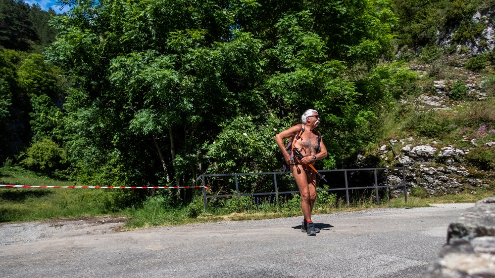
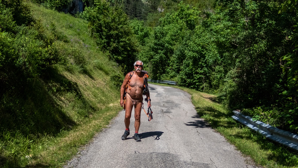
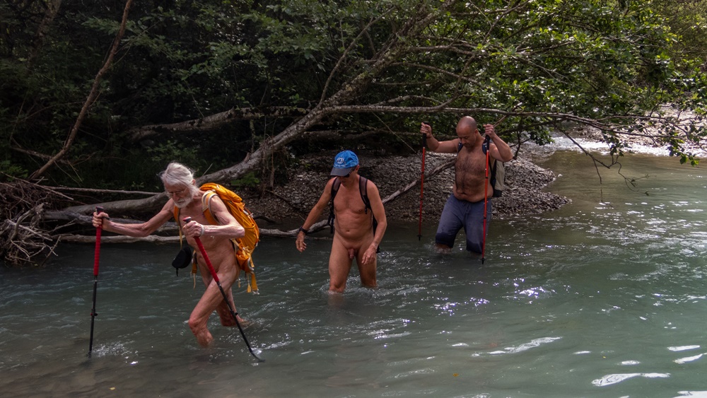
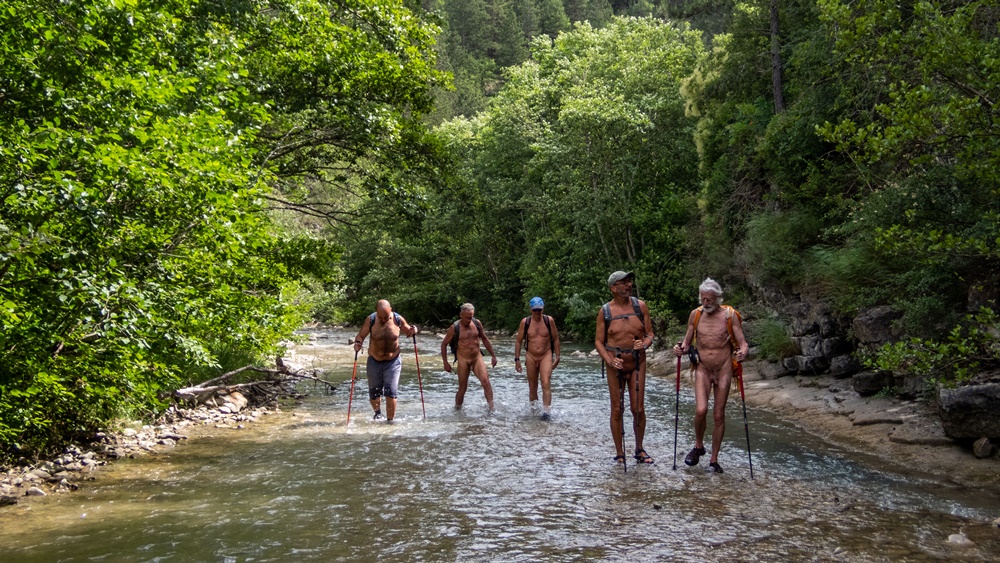
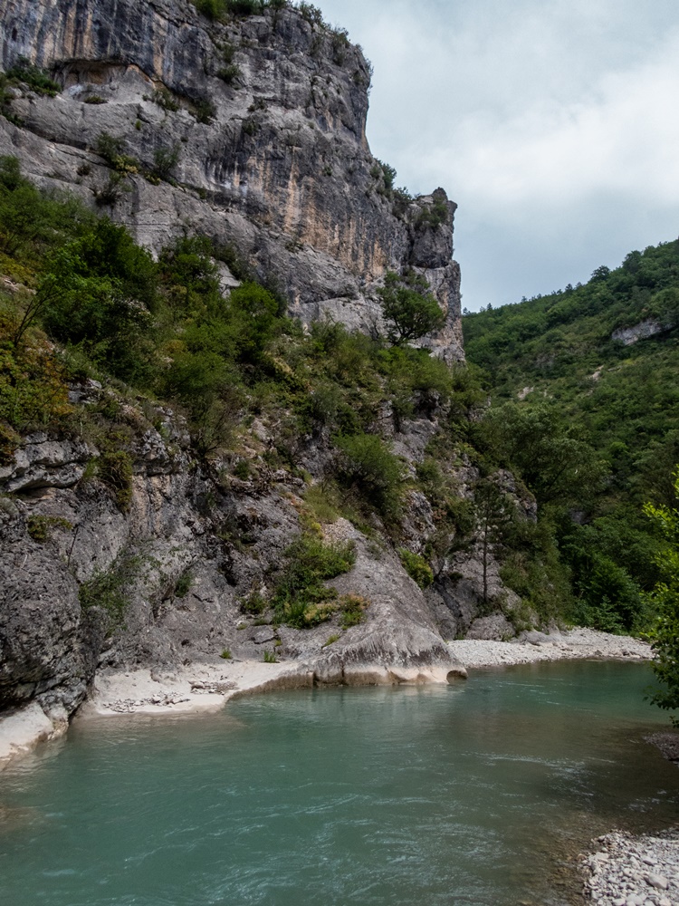
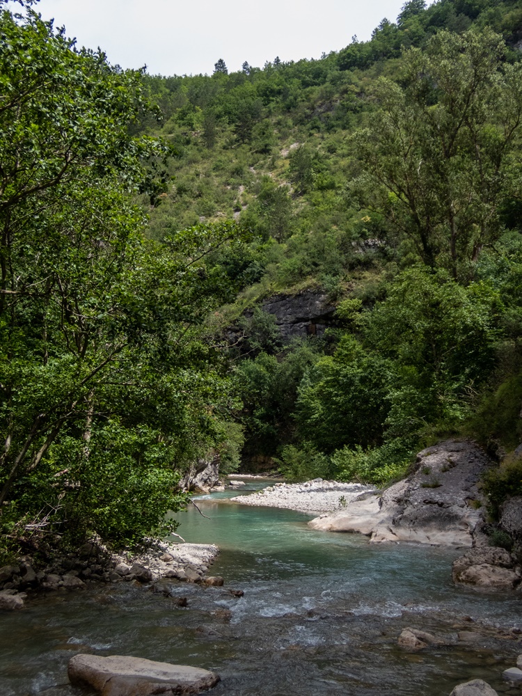
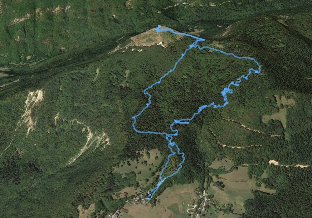
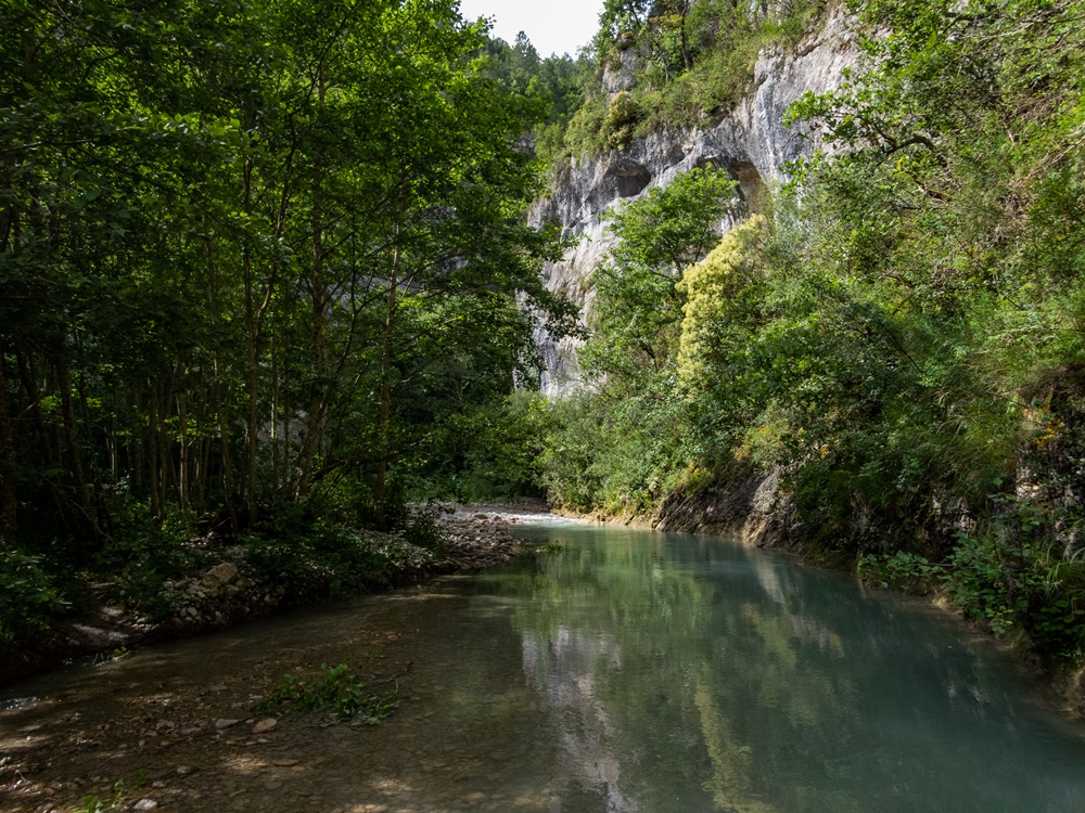
Si les balades les pieds dans l’eau en été le long des ruisseaux sont une spécialité de l’association des Marcheurs Nus du Val de Roanne, il est agréable et utile de trouver parfois de nouveaux itinéraires. La proposition de Loïc d’aller explorer et nettoyer le ruisseau de la Colombe à Aurel remplissait parfaitement cet objectif.

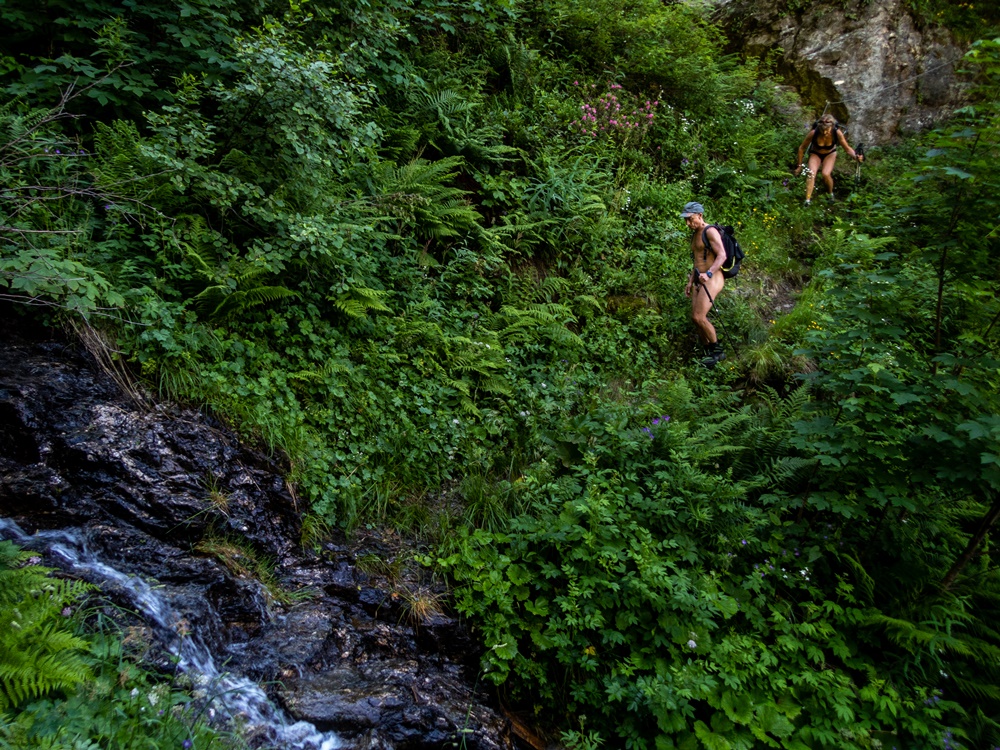
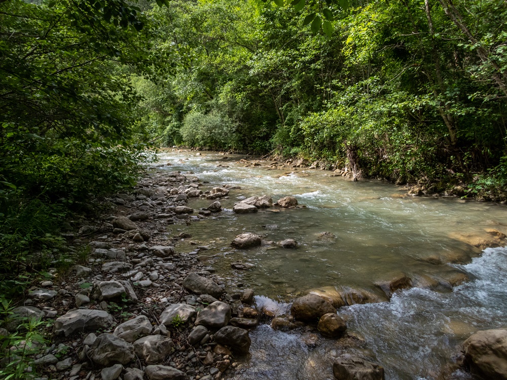
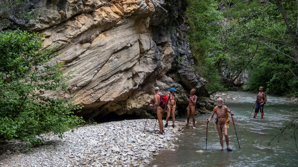
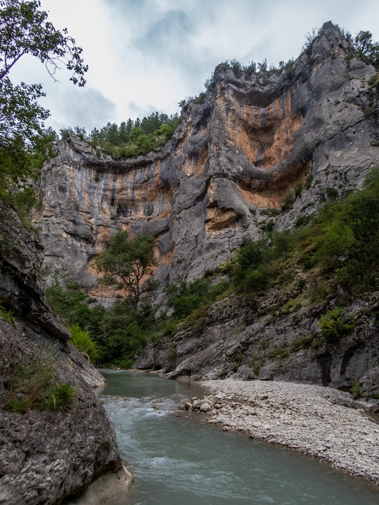
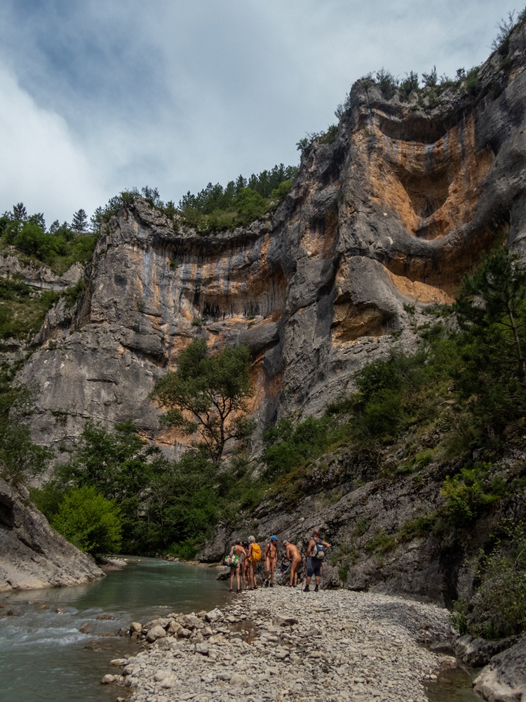
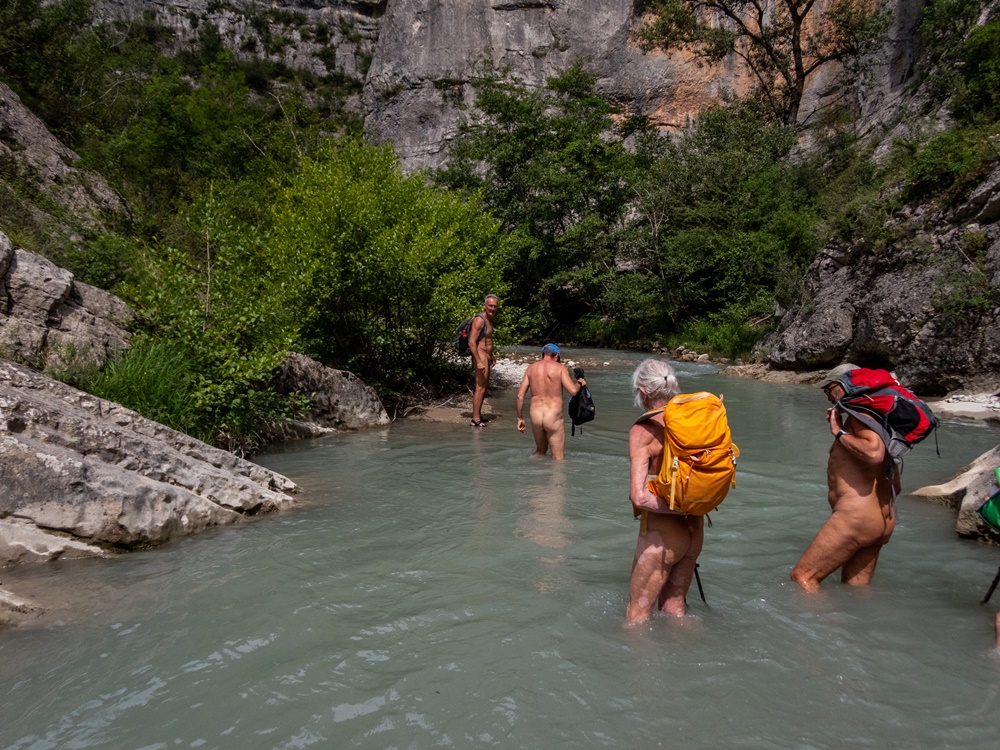
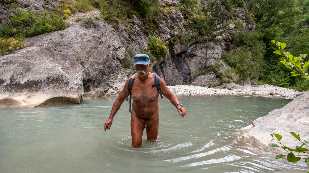
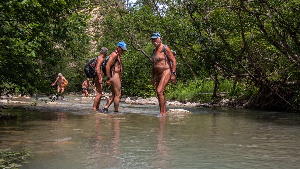
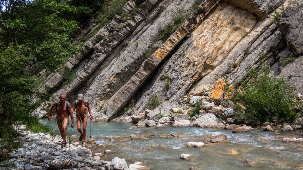
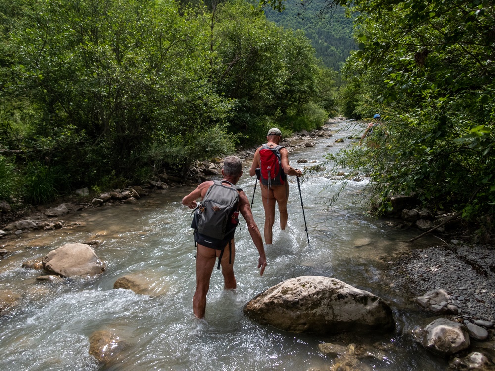
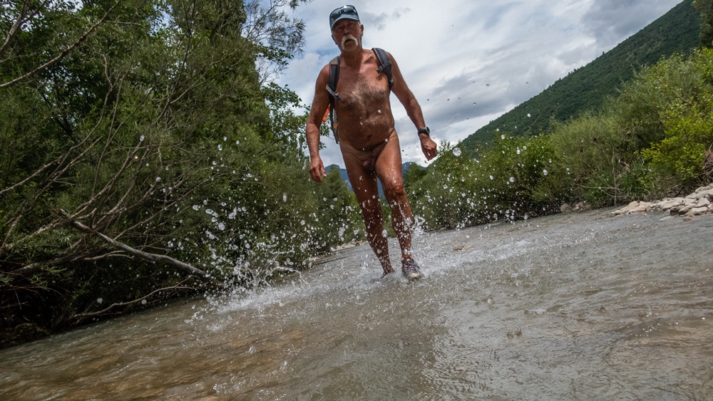
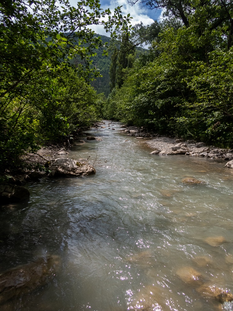
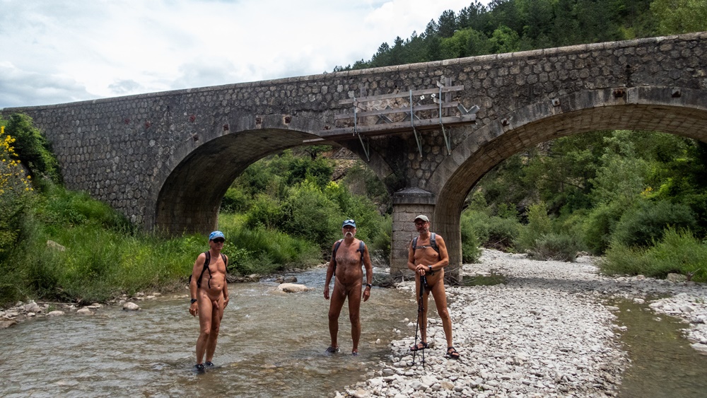
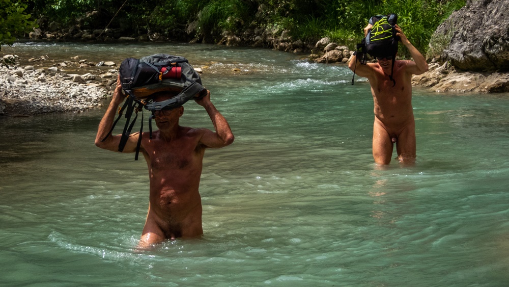
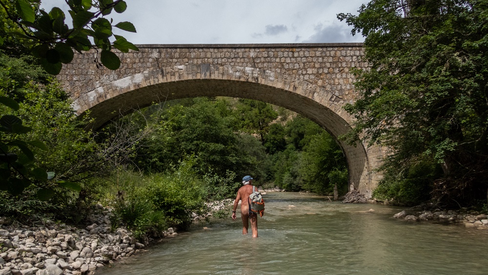
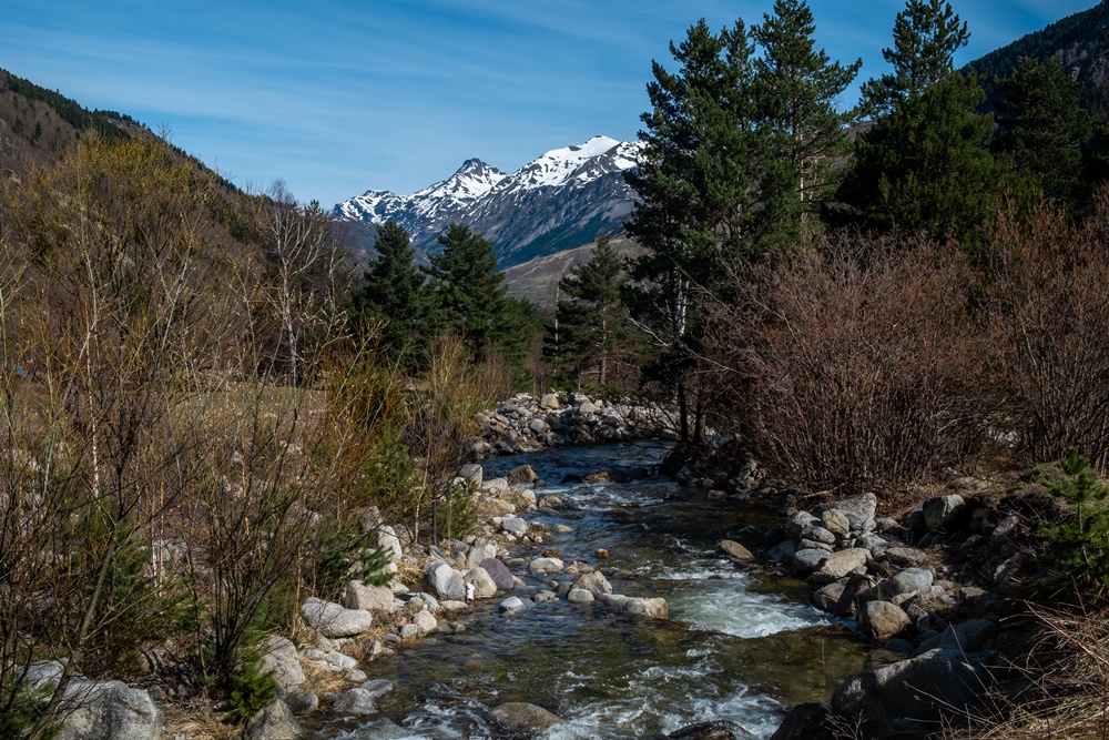
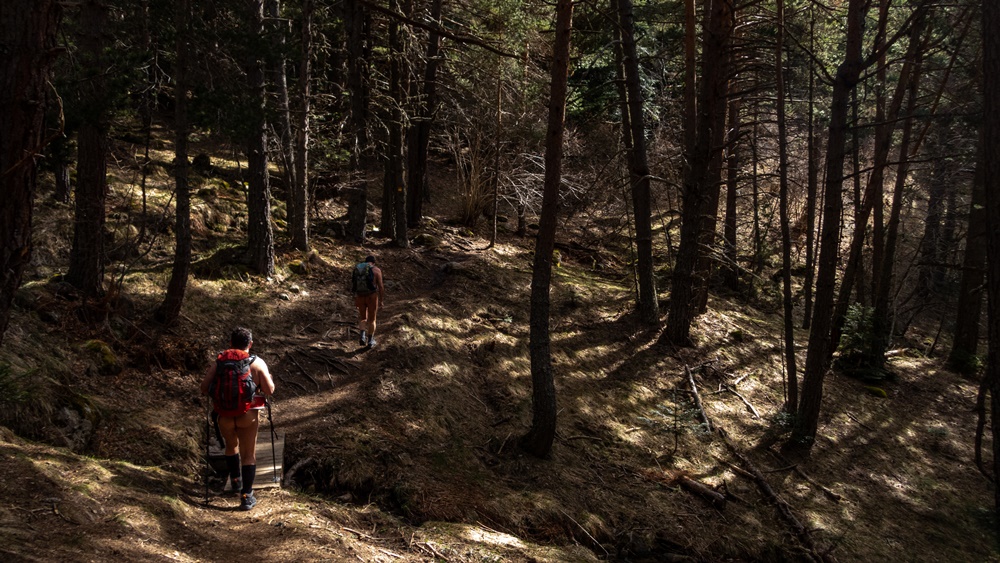
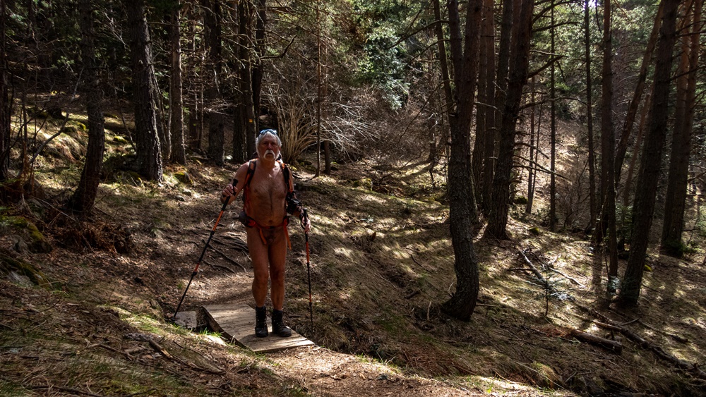
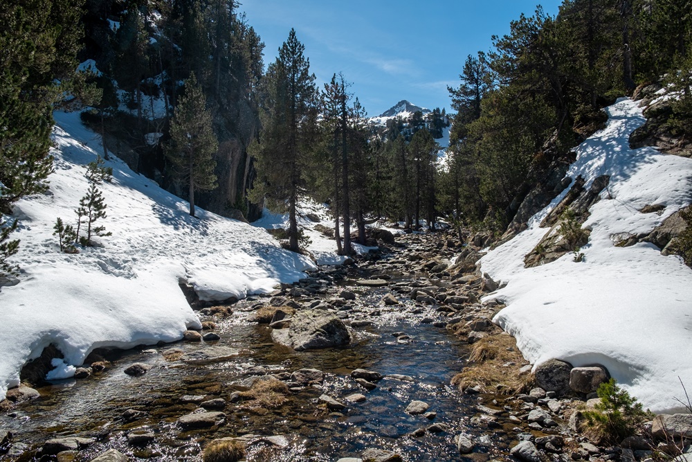
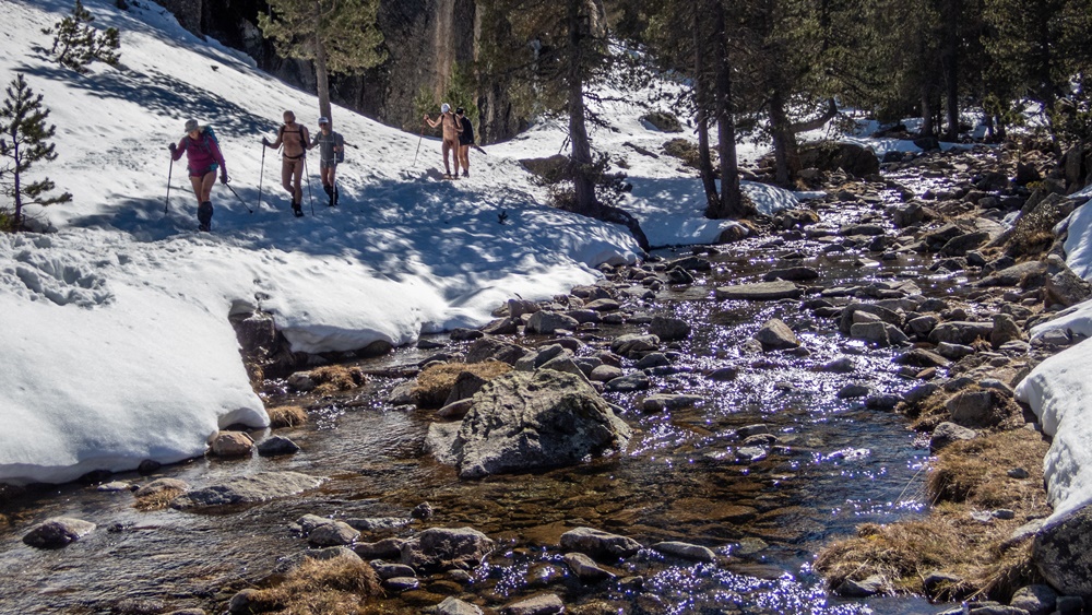
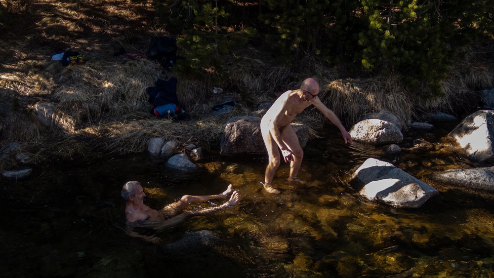
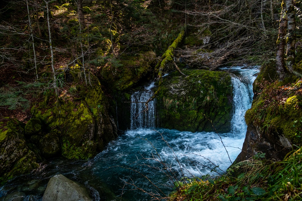
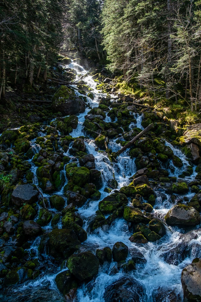
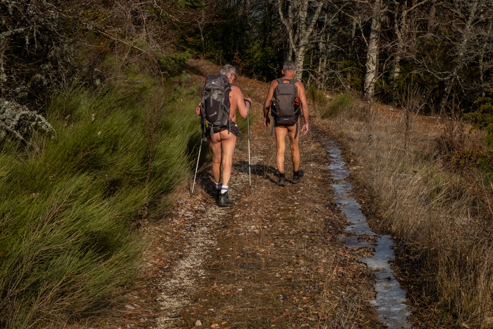
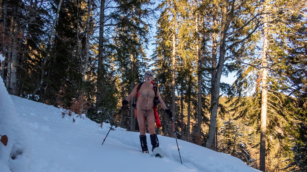
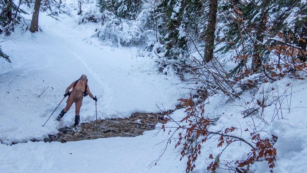
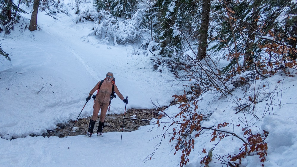
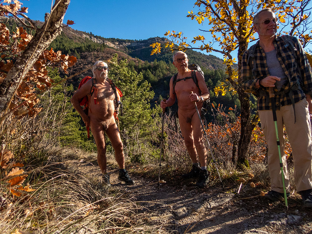
On s’est retrouvé à cinq sur le parking en face du camping d’Aurel. Bernard nous a tout d’abord accompagné puis a fait demi tour pour épargner ses genoux. A quatre avec Loïc, Christian et Robert on a attaqué la première difficulté : un tronc d’arbre couvert de lierre couché en travers du lit du ruisseau, entremêlé à des branches échouées sur lui. Sécateurs, coupe-branches et scies en action. Le barrage a sauté. Une fois passé l’obstacle on découvre le torrent qui saute de roches en roches, de ressauts en petites cascades de tuffières, de vasques en vasques où il fait bon se rafraîchir, l’eau est à 12° qui surprend au premier bain mais que l’on apprécie ensuite. Tout au long il faut couper, cisailler, pousser branches et ronces, chercher parfois un passage sur le côté, enjamber les rochers, s’enfoncer jusqu’à mi corps dans l’eau. Le temps passe sans que l’on s’en aperçoive ! Tout d’un coup le courant disparaît derrière un chaos de blocs. Au dessus on ne voit ni n’entend l’eau couler. Étrange ! On rejoint un chemin qui monte parallèlement au ruisseau puis une piste qui mène à la ferme du Chambon. Pique nique au bord du chemin, à l’ombre bien sûr puis demi tour. On retrouve notre ruisseau que l’on descend maintenant. Un homme en maillot de bain n’est pas surpris de notre tenue « Je connais l’existence de votre association » Il est par contre surpris par la somme de notre travail du matin. Il propose de nous prendre en photo tous les quatre ensemble avec mon appareil. Il nous indique aussi qu’en dessous de notre point de départ il est possible de continuer jusqu’au camping. On y va donc, mais là encore la végétation a envahi le cours du torrent et l’outillage se remet en service. Mais le résultat en vaut la peine et cette balade pourra se mettre au programme en toute sécurité.


Although summer walks along streams with feet in the water are a speciality of the Val de Roanne Naked Walkers Association, it’s nice and useful to occasionally find new itineraries. Loïc’s proposal to explore and clean up the Colombe stream in Aurel fulfilled this objective perfectly.
The group of five met in the parking lot opposite the Aurel campsite. Bernard first accompanied us, then turned back to spare his knees. The four of us, along with Loïc, Christian and Robert, tackled the first difficulty: an ivy-covered tree trunk lying across the bed of the stream, intermingled with branches washed up on top of it. Pruning shears, branch cutters and saws in action. The dam has burst. Once past the obstacle, the torrent jumps from rock to rock, from overhang to little tuff waterfalls, from basin to basin, where it’s good to cool off. The water is 12°, which is surprising at first, but much appreciated afterwards. All along the way, we have to cut, shear, push branches and brambles, sometimes looking for a passage to the side, step over rocks and sink halfway into the water. Time passes unnoticed! Suddenly, the current disappears behind a chaos of boulders. You can’t see or hear the water flowing above. How strange! We join a path that runs parallel to the stream, then a track that leads to the Chambon farm. Picnic by the roadside, in the shade of course, then turn around. We return to our creek, which we are now descending. A man in a swimsuit isn’t surprised by our outfit: « I know about your association ». He is, however, surprised by the amount of work we’ve done this morning. He offers to take a photo of the four of us together with my camera. He also tells us that below our starting point it’s possible to continue on to the campsite. So off we go, but here again the vegetation has invaded the torrent and the tools are back in use. But the result is well worth the effort, and we’ll be able to put this walk on the agenda in complete safety.

Bivouac au Sautet

Retour pour un nouveau bivouac au lac du Sautet. Comme l’année dernière je commence par une navigation jusqu’au bout du lac, à l’embouchure du torrent de la Souloise. Je suis parti plus tôt, je me pose donc pour un pique nique puis rejoint la crique visitée l’année précédente. Mais cette année le niveau de l’eau est plus haut. L’endroit où je m’étais posé est inaccessible, je me glisse donc à travers une végétation à moitié noyée vers une plage de galet. J’établis mon campement un peu plus haut, hors de vue du lac. Une fois installé, je pars en exploration des environs…pour occuper mon temps. Repas. Je me remets à l’eau pour une petite navigation aux alentours dans l’obscurité qui tombe petit à petit. Juste pour le plaisir d’être là nu sur l’eau hors du monde ! Nuit tranquille dans le hamac, mais sans beaucoup de sommeil, il faut le dire. Petit déjeuner et démontage du camp. A 8 heures je suis sur l’eau. Mais je traîne encore, traversant ce bout du lac, longeant les rives. L’eau est comme un miroir, parfaitement calme. J’arrive à la jonction avec le bras principal du Drac. Là le vent souffle, le lac est agité de vagues. Je m’arrête pour enfiler mon gilet de secours avant la dernière traversée et rejoindre la rive et le parking.


Back for another bivouac at Lac du Sautet. Like last year, I start by paddling to the end of the lake, at the confluence of the Souloise torrent. I’d left early, so I stop for a picnic and then head back to the creek I’d visited the previous year. But this year the water level is higher. The spot where I had landed is inaccessible, so I slip through half-drowned vegetation to a pebble beach. I set up camp a little higher up, out of sight of the lake. Once set up, I set off to explore the surrounding area…to occupy my time. Lunch. I get back in the water for a little navigation in the darkness that is gradually falling. Just for the pleasure of being there, naked on the water, out of this world! Quiet night in the hammock, but not much sleep, it has to be said. Breakfast and dismantling of the camp. By 8 a.m. I’m on the water. But I’m still lingering, crossing this end of the lake, skirting its shores. The water is like a mirror, perfectly calm. I reach the junction with the main branch of the Drac. Here the wind blows and the lake is churned by waves. I stop to put on my lifejacket before the final crossing, and make my way back to the shore and the parking lot.


J’aime bien ce lac du Sautet, pas très grand mais si beau dans sa branche de la Souloise, un ruisseau qui l’arrose, avec un défilé de roches sculptées par l’eau et le vent. J’y suis déjà venu trois fois cette année et pour la quatrième j’innove avec un bivouac sur ses rives.

Départ tardif à treize heures passées. Je ne suis pas pressé. Un bon petit vent souffle. Je remonte tranquillement jusqu’à rejoindre le bout du lac, là où la Souloise se déverse. Demi tour. Je longe la rive cherchant le coin qui va m’accueillir pour la nuit. Il faut côte à côte une plage pour poser le kayak et des arbres pour accrocher mon hamac. Une large crique fait l’affaire. Je débarque le matériel et m’installe. L’après midi se passe, repos, lecture, exploration des environs proches. Un bateau à moteur vient mouiller à proximité pour la baignade d’enfants, mais il ne reste guère. La lumière baisse. Je regarde les couleurs changer sur le lac. Je fais chauffer mon repas puis je me glisse dans le hamac et mon duvet. L’obscurité est complète, aucune pollution lumineuse ni sonore, à part les cloches de l’église du village perché au dessus du lac qui sonnent toutes les heures. Mais qui ne m’empêchent pas de m’endormir d’un sommeil un peu haché, c’est que je n’ai plus tellement l’habitude de dormir en hamac. Au milieu de la nuit je me lève pour aller admirer la voie lactée. Au matin, le ciel si dégagé et brillant d’étoiles la nuit est obstrué de lourds nuages. J’espère qu’il ne va pas pleuvoir ! Mais le vent d’hier est complètement tombé. Je ne tarde pas à démonter le camp et à recharger le bateau. Sur l’eau je croise un autre pagayeur matinal en Sup. A huit heures et quelques, en ayant renfiler un maillot juste avant, je suis à terre.


I like this lake of Sautet, not very big but so beautiful in its branch of the Souloise, a stream which waters it, with a succession of rocks sculpted by the water and the wind. I already came there three times this year and for the fourth time I innovate with a bivouac on its banks.
Late departure at 1 pm. I am not in a hurry. A good little wind blows. I go up quietly until I reach the end of the lake, where the Souloise river flows. Half turn. I go along the bank looking for the corner which will welcome me for the night. I need a beach to put the kayak and trees to hang my hammock. A wide creek does the trick. I unload the equipment and settle down. The afternoon is spent resting, reading, exploring the nearby surroundings. A motorboat comes to anchor nearby for the children to swim, but it does not stay much. The light is getting dimmer. I watch the colors change on the lake. I heat up my meal then I slip into the hammock and my sleeping bag. The darkness is complete, no light or sound pollution, except for the church bells of the village perched above the lake which ring every hour. But that doesn’t prevent me from falling asleep with a bit of a choppy sleep, because I’m not used to sleeping in a hammock anymore. In the middle of the night I get up to admire the Milky Way. In the morning, the sky so clear and shining with stars at night is obstructed by heavy clouds. I hope that it will not rain! But the wind of yesterday has completely fallen. I quickly dismantled the camp and reloaded the boat. On the water I cross another morning paddler in Sup. At eight o’clock and a few hours, having put on a swimsuit just before, I arrived on land.

La Bâtie des Fonds

L’association des Marcheurs Nus du Val de Roanne organisait le samedi 10 juin une journée festive ouverte à tous dans le petit village de la Bâtie des Fonds. Pour cela Bernard avait contacté la commune de la Bâtie, tout petit village qui ne comptait au dernier recensement, en 2020, que deux habitants permanents. Le lieu est surtout connu pour être la source de la rivière Drôme et pour avoir été en partie détruit dans les années 1930 par une coulée de boue qui a emporté une quinzaine de maisons. La maire avait donné son accord pour l’occupation de l’espace publique aménagé en passerelles de bois sur le site du village disparu, mettant même à disposition la salle de réunion de la mairie. L’objectif de cette journée était de s’ouvrir à de nouveaux pratiquants, hors des membres adhérents déjà à l’association, et en même temps d’accueillir des activités diverses parallèlement à la randonnue proprement dite : expo photo, body painting, musique et chansons et un repas collectif.

Tôt le matin sur le trajet depuis Grenoble j’ai de la pluie et du brouillard. Mais la météo annonce une amélioration. J’ai choisi de rejoindre la Bâtie par une petite route passant par le col de Carabes. Au col et à proximité je sais que sont cachées deux geocaches. Je m’arrête. La route est déserte à cet heure là. Je quitte short et tee shirt et trouve rapidement la première cache au pied d’un arbre juste en bordure de la chaussée. Je repars et me gare un kilomètre plus loin pour la deuxième. Je peux bien continuer et arriver ainsi nu au village puisque c’est le thème du jour !

Là les premiers membres de l’association arrivent les uns après les autres pour installer le matériel ; tables pour l’accueil, expo et le stand de la Fédération Française de Randonnée avec sa documentation amené par Philippe du comité de la Drôme. A proximité, tout caparaçonné de vêtements de protection un homme fauche l’herbe haute à la débroussailleuse. Contraste entre nos tenues ! Il devait couper l’herbe la veille pour nous laisser l’espace libre, mais la météo l’en a empêché et il se hâte de le faire ce matin. On lui explique notre action.

Après un café et quelques brioches de bienvenue nous sommes onze à partir en rando en deux groupes, dont six non (encore) adhérents attirés par la communication que nous avons faites sur l’évènement.

Le parcours suit le ruisseau de la Drôme depuis sa naissance au creux du village, serpentant entre bords de prairies, bois de résineux ou de feuillus, buissons de genets en fleurs. On traverse plusieurs fois son cours par des petits ponts de bois ou directement les pieds dans l’eau. Le terrain est parfois bien boueux, des filets d’eau descendant les champs pour rejoindre le ruisseau qui grossit peu à peu. On s’arrête pour des poses photo auprès de troncs remarquables. Passage sur une centaine de mètre le long de la route. On ne se recouvre pas, il ne devrait pas y avoir de circulation ! Tiens voici justement trois voitures ! Tant pis !

Arrivé au pont du Cheylard, après cinq kilomètres, demi tour. Je laisse le groupe repartir devant et traîne seul en arrière pour chercher quelques autres geocaches.

A la Bâtie, la journée se continue par un repas partagé, la visite de l’expo d’un photographe drômois, un atelier body painting et un de kinésiologie ainsi qu’un mini concert d’instruments rares. Même un court orage n’interrompt pas l’après midi et le plaisir d’être ensemble nus en toute liberté.

Il me parait trop difficile d’avoir à me rhabiller pour rentrer. C’est nu que je conduis sur près de cent kilomètres jusqu’à l’arrivée dans l’agglomération grenobloise.


On Saturday June 10, the Val de Roanne Bare Walkers Association organized a day of festivities open to all in the small village of La Bâtie des Fonds. Bernard had contacted the commune of La Bâtie, a tiny village with just two permanent inhabitants at the last census in 2020. The village is best known for being the source of the River Drôme, and for having been partly destroyed in the 1930s by a mudslide that swept away some fifteen houses. The mayor had agreed to the occupation of the public space laid out with wooden footbridges on the site of the vanished village, even making the town hall meeting room available. The aim of the day’s activities was to open up the event to new hikers, outside the association’s existing members, and at the same time to host a variety of activities alongside the hike itself: photo exhibition, body painting, music and song, and a collective meal.
Early in the morning, on my way from Grenoble, I was hit by rain and fog. But the weather forecast said it would improve. I chose to reach La Bâtie via a small road over the pass of Carabes. At the pass and nearby, I know that two geocaches are hidden. I stop. The road is deserted at this hour. I take off my shorts and T-shirt and quickly find the first cache at the foot of a tree just off the road. I drive on and park a kilometer further on for the second. I can carry on and arrive naked in the village, since that’s the theme of the day!
Here, the first members of the association arrive one after the other to set up their equipment: tables for welcoming visitors, an exhibition and the Fédération Française de Randonnée stand with its documentation, brought by Philippe from the Drôme committee. Nearby, wearing protective clothing, a man mows the tall grass with a brushcutter. Contrast between our outfits! He was supposed to cut the grass the day before to clear the way for us, but the weather prevented him from doing so, and he’s hastening to do so this morning. We explain to him what we’re doing.
After a coffee and a few welcome buns, eleven of us set off on the hike in two groups, six of whom were not (yet) members, attracted by the publicity we’d given the event.
The route follows the Drôme stream from its source in the village, winding its way through meadows, coniferous and deciduous woods and flowering broom bushes. We cross its course several times by small wooden bridges or directly with our feet in the water. The terrain is muddy at times, with trickles of water running down the fields to join the gradually growing stream. We stop to pose for photos next to some remarkable trunks.

A hundred meters along the road. No covering. There shouldn’t be any traffic! Here come three cars! Too bad!

After five kilometers to the Cheylard bridge, half turn. I let the group go on ahead and hang back alone to look for a few more geocaches.

At La Bâtie, the day continues with a shared meal, a visit to the exhibition of a Drôme photographer, a body painting and kinesiology workshop, and a mini concert of rare instruments. Even a short rainstorm didn’t interrupt the afternoon and the pleasure of being together naked in total freedom.

It seems too difficult to have to get dressed to go home. So I drive naked for almost a hundred kilometers until I arrive in the Grenoble area.

Croisière en Croatie

Notre ami Fred nous a proposé une navigation en voilier catamaran en Croatie. Proposition vite acceptée, naturellement. Ce n’est pas la première fois que nous partons avec lui. Il y a déjà eu les Seychelles et les Antilles avec notre équipe de trois couples qui se connaissement bien. Cette fois, se rajoutent deux nouveaux. Auront ils la même acceptation de mon envie de vivre nu le plus possible à bord ?

Le trajet est prévu de Troggir, dans les environs de Split, jusqu’à Dubrovnik en passant par les îles de Brač, Hvar, Korčula, Mljet et lopud, le sud de la Dalmatie croate.

Les trois premiers jours la pluie et les avis de tempête nous empêchent d’appareiller. C’est par la terre que nous allons visiter Split. Puis le temps se calme et nous pouvons enfin partir. On se relaie à la barre, pour les manœuvres : hisser les voiles, jeter l’ancre… toujours sous l’œil attentif de Fred, le skipper. Le vie à bord s’organise entre les repas, la lecture, les siestes et les bains de soleil sur le pont avant. On préfère chaque fois que possible les mouillages dans de petites criques plutôt que les ports. En général, la première action du matin au lever est le bain dans la mer, encore quelque peu fraîche en cette saison mais tellement vivifiante. Le skipper se baigne nu et peut rester un moment ainsi, trois autres peuvent se baigner nus également mais se rhabillent rapidement, trois gardent leurs maillots. Quant à moi je reste nu autant que possible puisqu’il n’y a pas de remarques négatives. C’est la vie rêvée ! Lors des escales pour visiter je marque aussi mon indépendance, préférant louer un kayak pour pagayer sur le lac Veliko sur l’île Mljet pendant qu’ils louent eux des vélos électriques pour en faire le tour.. On se croisera sur une rive. De même à Dubrovnik, ils visiteront les remparts à pied tandis que je les longerai là encore en kayak. Mais on se retrouve tous pour quelques repas aux restaurants, à apprécier des plats de poissons, poulpes et calamars. Finalement deux semaines qui sont passées bien vite !


Our friend Fred suggested a sailing trip on a catamaran in Croatia. Naturally, we quickly accepted. It’s not the first time we’ve sailed with him. We’ve already been to the Seychelles and the West Indies with our team of three couples who know each other well. This time, we’re adding two new ones. Will they have the same acceptance of my desire to live as naked as possible on board?

The route is planned from Troggir, just outside Split, to Dubrovnik via the islands of Brač, Hvar, Korčula, Mljet and lopud, in the south of Croatian Dalmatia.

Rain and storm warnings prevented us from setting sail for the first three days. We visit Split by land. Then the weather calmed and we were finally able to set sail. We take it in turns at the steering wheel to maneuver the boat: hoisting the sails, dropping the anchor… always under the watchful eye of Fred, the skipper. Life on board is organized around meals, reading, naps and sunbathing on the foredeck. Whenever possible, we prefer to anchor in small coves rather than in harbours. Generally speaking, the first thing we do when we wake up in the morning is to take a dip in the sea, which is still a little cool at this time of year, but so invigorating. The skipper bathes naked and can stay that way for a while, three others can also bathe naked but quickly get dressed, and three keep their swimsuits on. As for me, I stay naked as much as possible, since there are no negative comments. It’s the dream life! During stopovers to visit, I also show my independence, preferring to rent a kayak to paddle on Lake Veliko on Mljet Island, while they rent electric bikes to tour the lake. We’ll bump into each other on one shore. Similarly in Dubrovnik, they’ll visit the ramparts on foot, while I’ll kayak along them. But we all meet up for a few meals in restaurants, enjoying fish, octopus and squid dishes. All in all, two weeks that went by so quickly!

Beaumes de Soubreroche

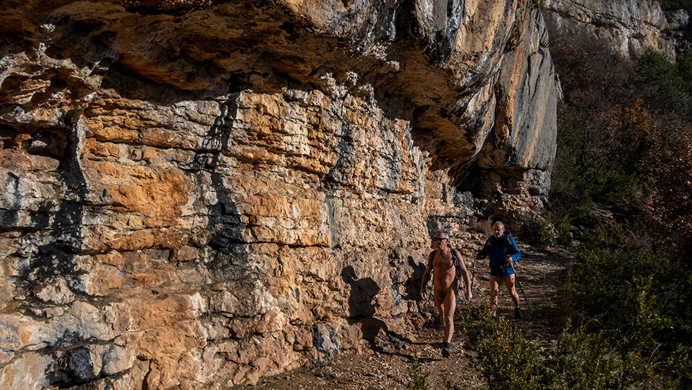
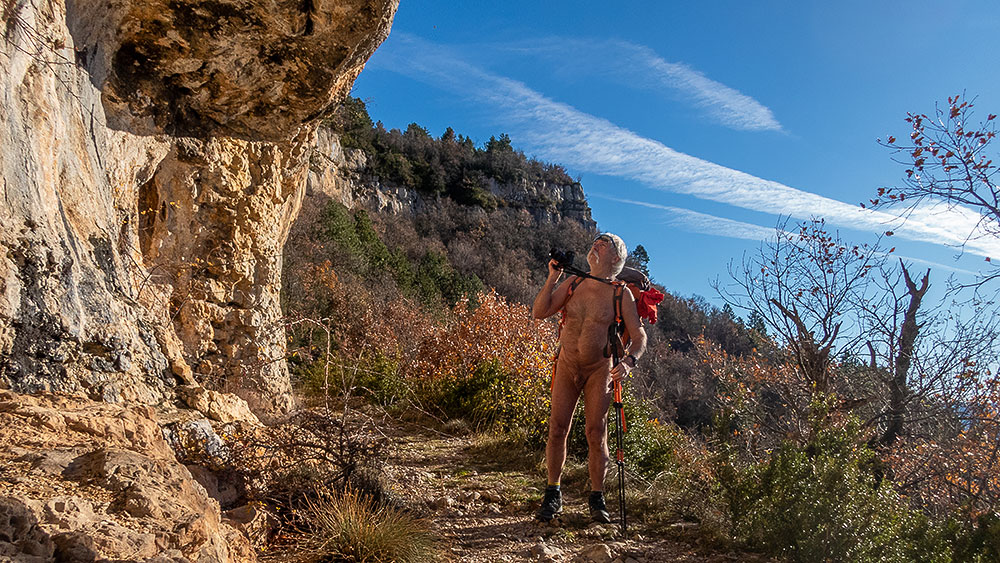
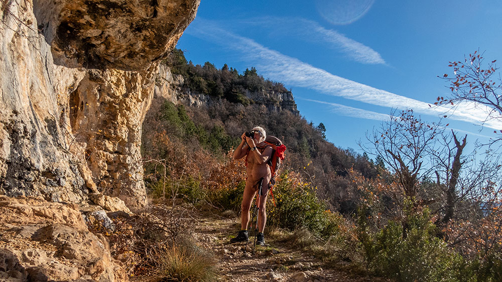
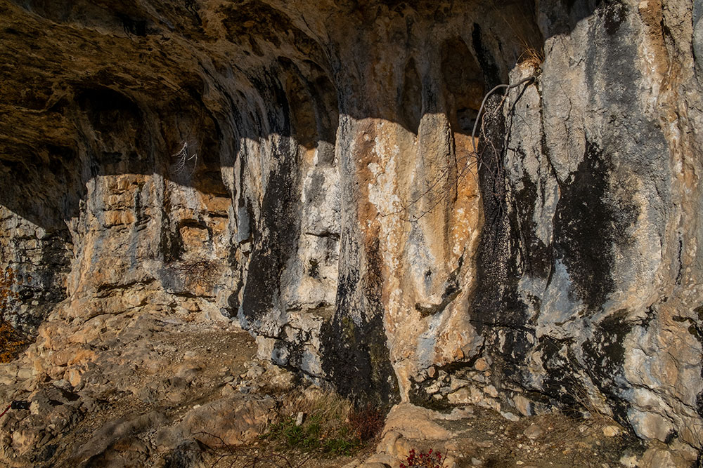
Il y a déjà près d’une dizaine d’années, Bernard m’avait emmené sur un parcours qui passait à proximité de rochers de grès sculptés par l’érosion. J’ai eu envie d’y retourner ce printemps et j’ai organisé une sortie de l’association des Marcheurs Nus du Val de Roanne à cet effet. Nous avons donc emprunté le même circuit avec montée et traversée en forêt, passage dans le hameau de Soubreroche et retour en passant par ce chaos rocheux…que j’ai eu un peu de mal à retrouver, mais finalement il était tout près du chemin. On s’est arrêter un bon moment sur place pour une séance photo dans cet environnement creusé et découpé artistiquement par la nature.


About ten years ago, Bernard had taken me on a hike that passed near sandstone rocks sculpted by erosion. I wanted to go back there this spring and I organized an outing for the association of Barefoot Walkers of the Roanne Valley for this purpose. So we took the same circuit with an ascent and a crossing in the forest, passing through the hamlet of Soubreroche and coming back through this rocky chaos…that I had a little bit of trouble to find, but finally it was very close to the path. We stopped a good moment on the spot for a photo session in this environment dug and cut artistically by the nature.

Grand Rocher

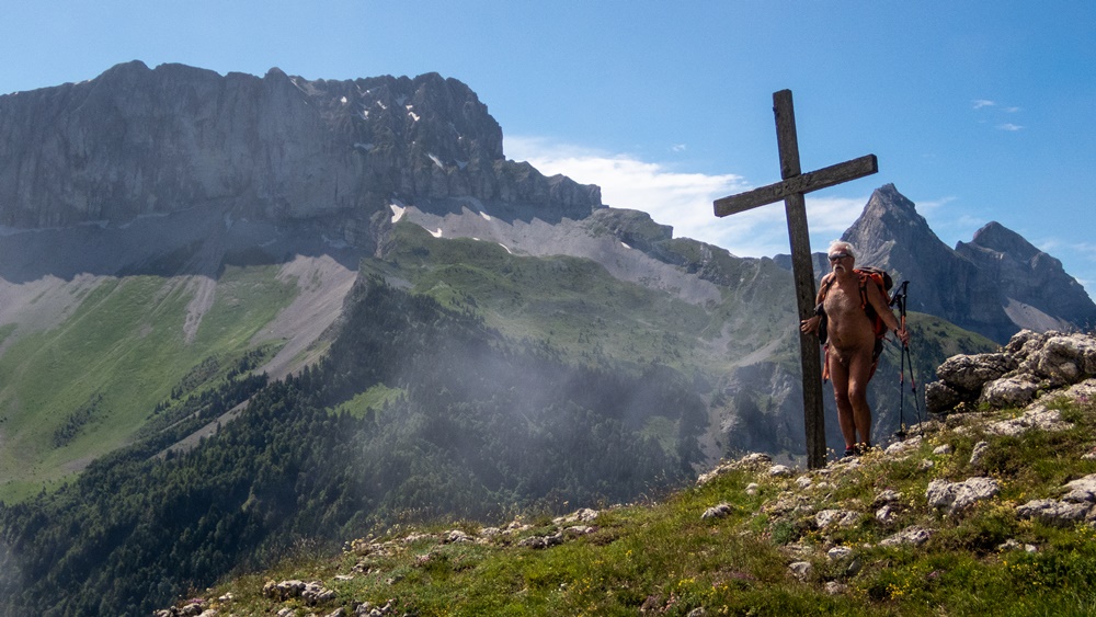
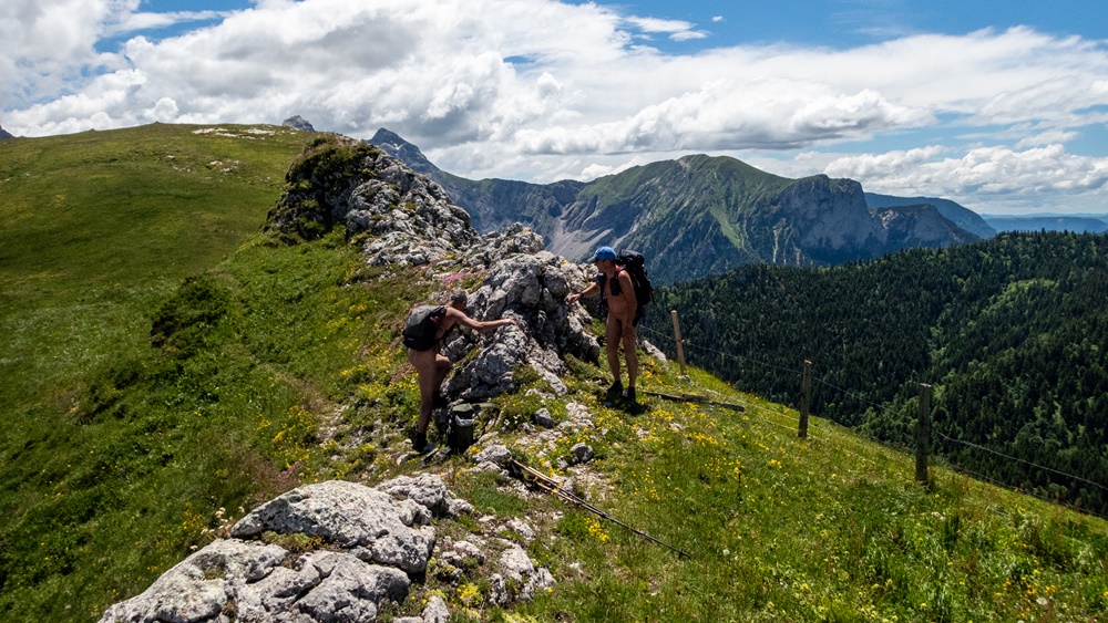
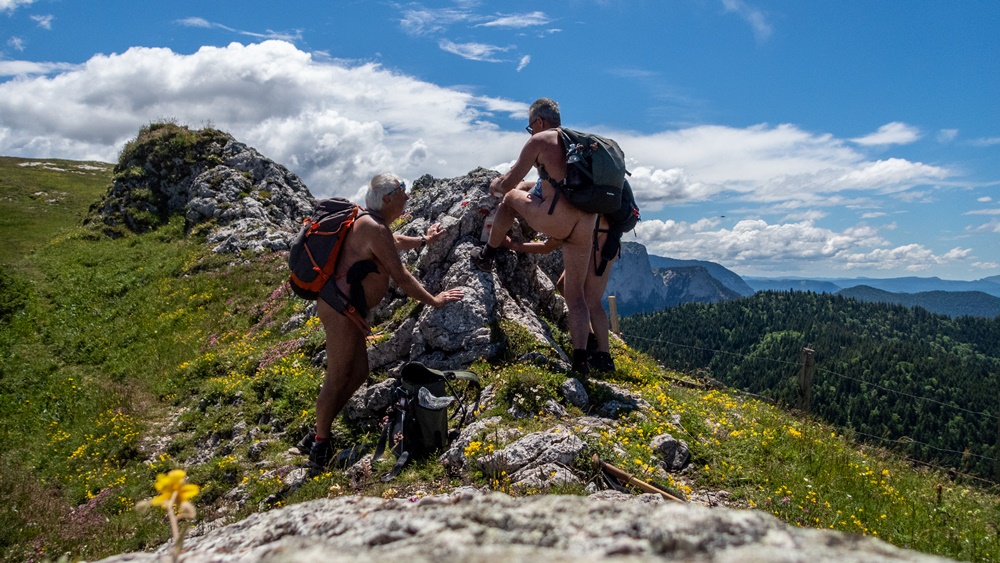
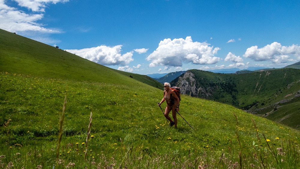
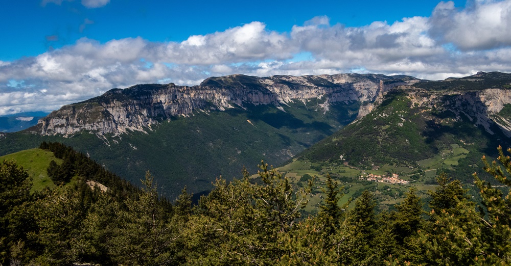
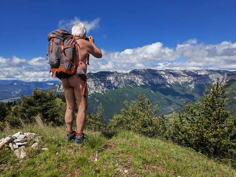
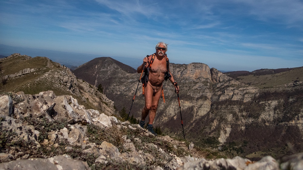
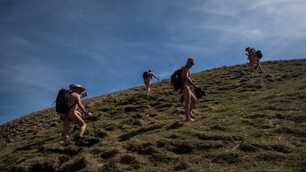
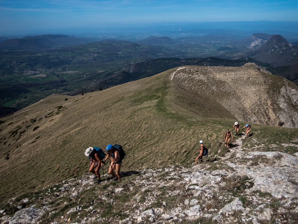
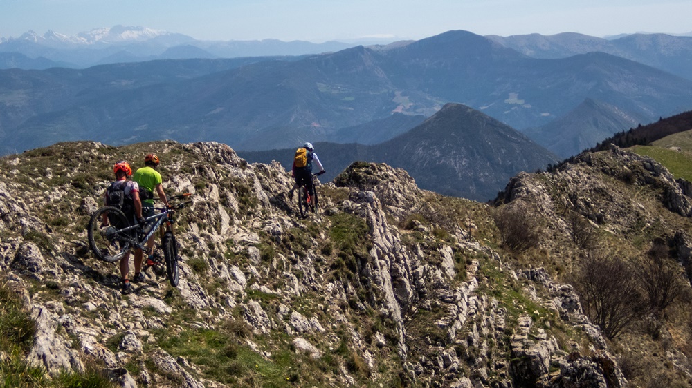
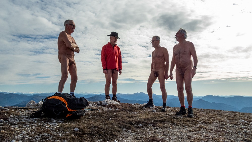
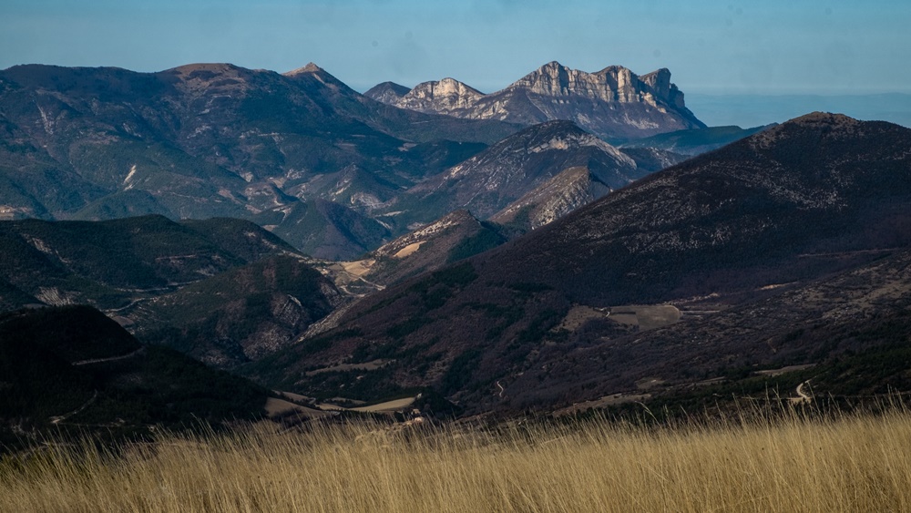
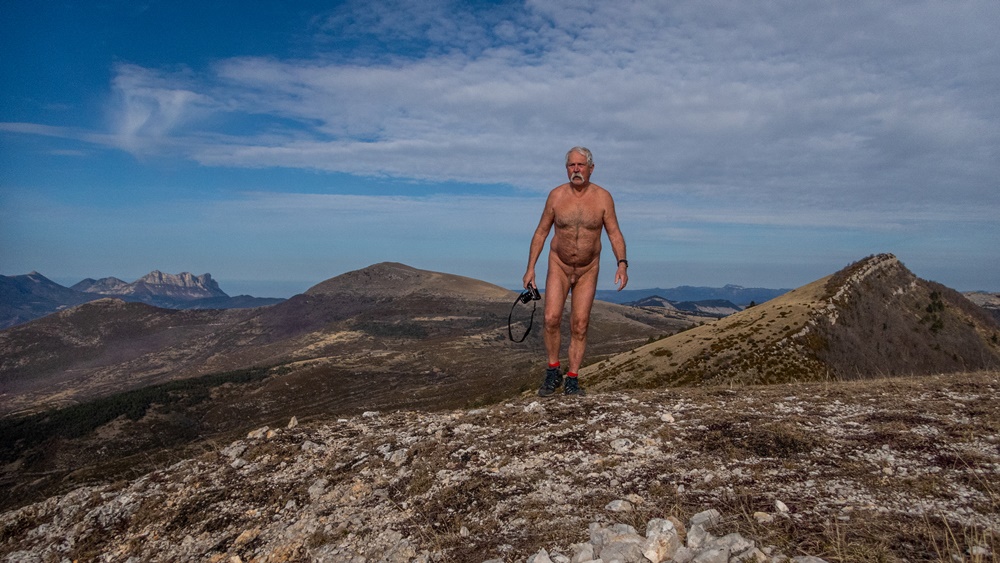
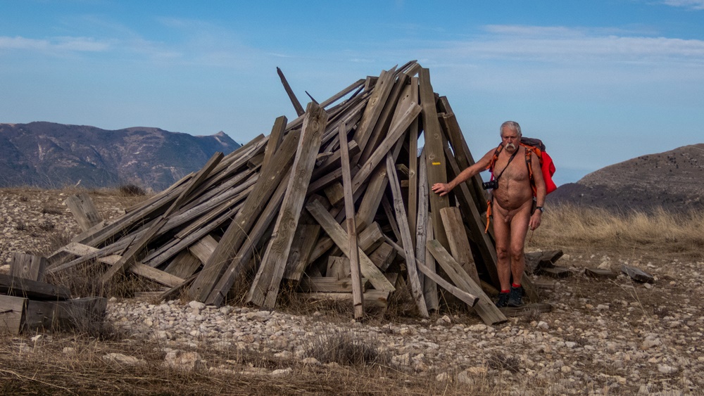
On se retrouve à sept au col du Barrioz venant de Grenoble, Chambéry, la Chartreuse et Lyon. Dans deux voitures par une piste forestière on rejoint le point de départ de la balade. Un bout de piste puis un petit chemin en forêt avec parfois dans des troués des arbres de jolies vues sur la vallée du Grésivaudan et les falaises de la Chartreuse. On a vite été tous nus. On sort dans les prairies d’alpage au col du Merdaret d’où on grimpe sur la crête que l’on va suivre tout du long jusqu’au Grand Rocher puis Crêt Luisard avant de plonger par des petits chemins, parfois pataugeant dans quelque restes de neige, vers des étang marécageux puis le chalet de Pierre Rubet et enfin rejoindre une piste que l’on va suivre sur un kilomètre et demi pour retrouver les voitures. Balade sous un soleil bien présent, qui a laissé quelques traces rouge sur certains, en face des sommets enneigés de la chaîne de Belledonne, en dominant la vallée du Haut Bréda. Peu de rencontres : un groupe occupant le sommet du Grand Rocher, on a préféré pique niquer à l’écart. Un randonneur passant sur le sentier nous a forcément vus alors qu’on était assis pour le repas en contrebas ; on l’a retrouvé au sommet. Comme il nous avait déjà aperçu nus, on a pas tous jugé utile de se recouvrir. Même chose pour croiser un couple alors qu’on descendait et deux vététistes ahanant en montée sur la piste forestière.


We meet at seven at the pass of Barrioz coming from Grenoble, Chambéry, Chartreuse and Lyon. In two cars by a forest track we join the starting point of the walk. A bit of track then a small path in forest with sometimes in openings of the trees of pretty views on the valley of Grésivaudan and the cliffs of Chartreuse. We were quickly all naked. We go out in the meadows of mountain pasture at the pass of Merdaret from where we climb on the crest that we are going to follow all the way to the Grand Rocher then Crêt Luisard before plunging by small paths, sometimes wading in some remains of snow, towards marshy pond then the chalet of Pierre Rubet and finally join a track that we are going to follow on a kilometer and half to find the cars. Walk under a very present sun, which has left some red traces on some, in front of the snowy summits of the chain of Belledonne, by dominating the valley of the High Bréda. Few meetings: a group occupying the summit of the Big Rock, we preferred to picnic apart. A hiker passing on the path saw us necessarily while we were sitting for the meal below; we found him at the top. As he had already seen us naked, we didn’t all consider useful to cover ourselves. Same thing to cross a couple while we went down and two mountain bikers exhaling in rise on the forest track.

Reychas

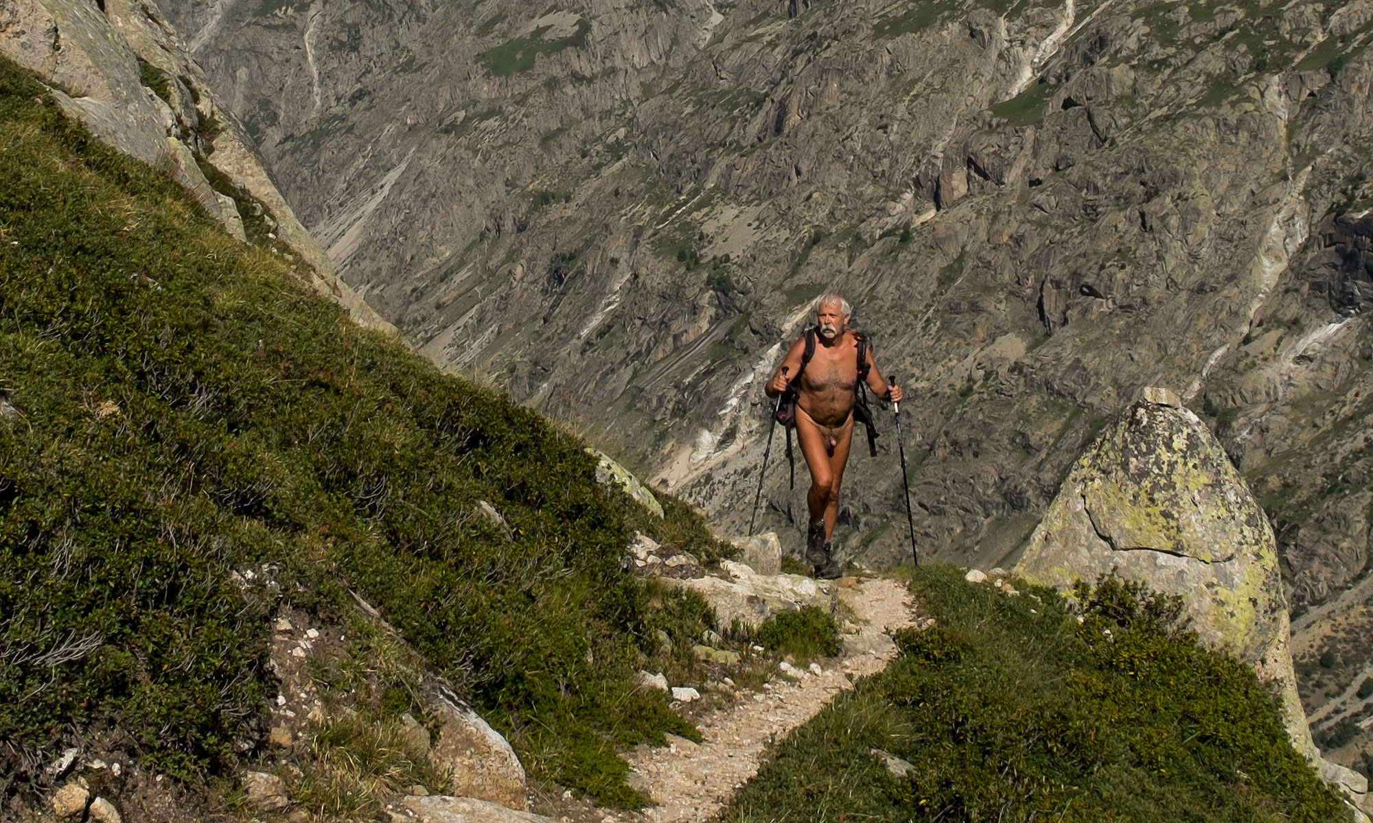
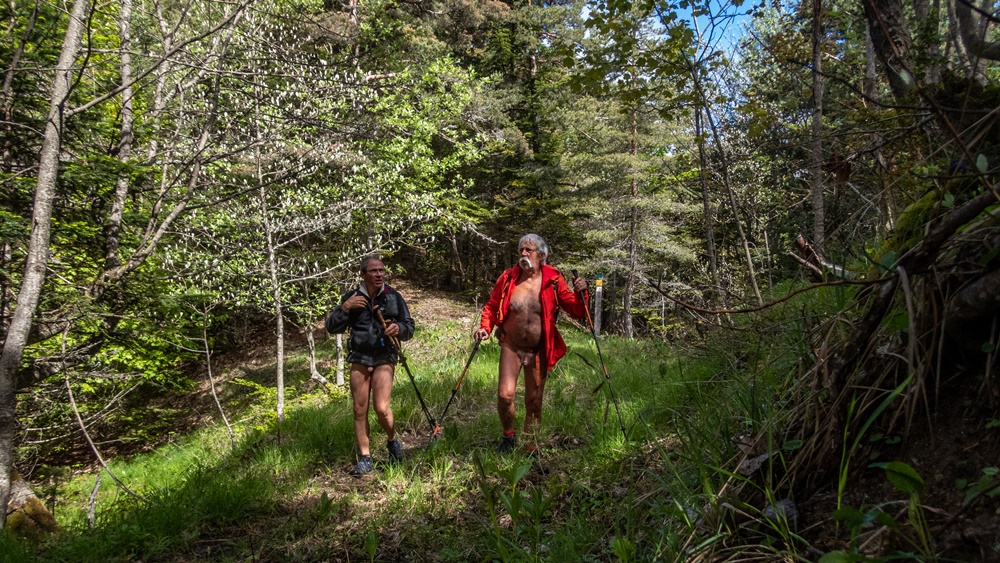
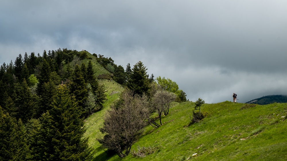
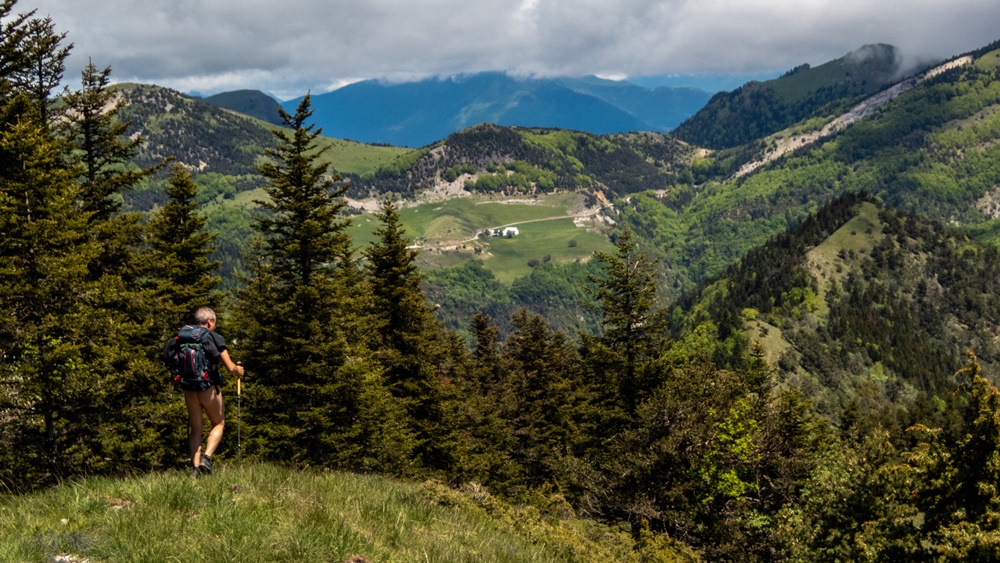
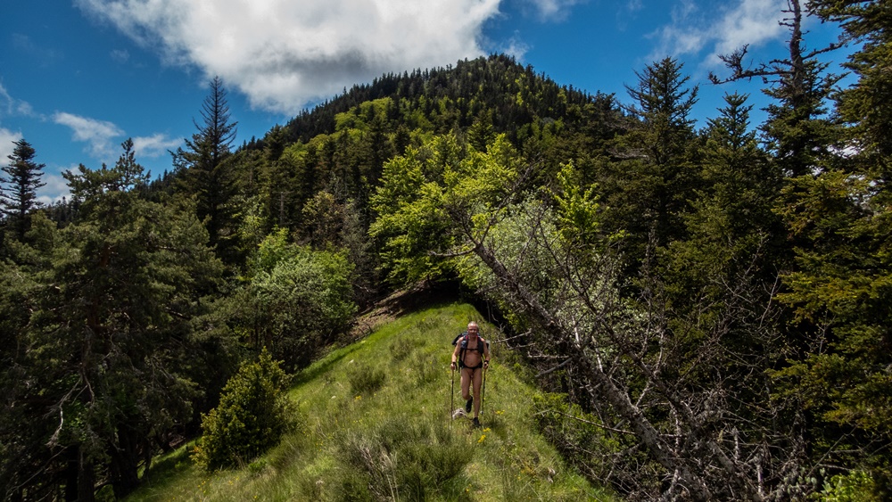
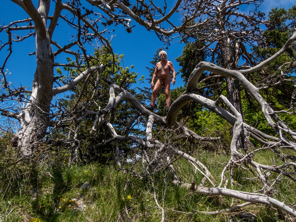
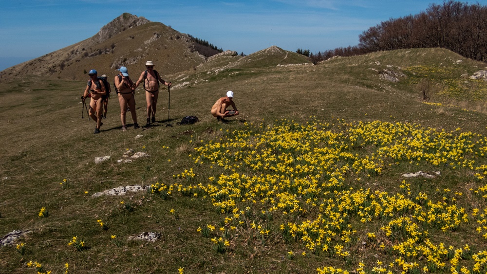
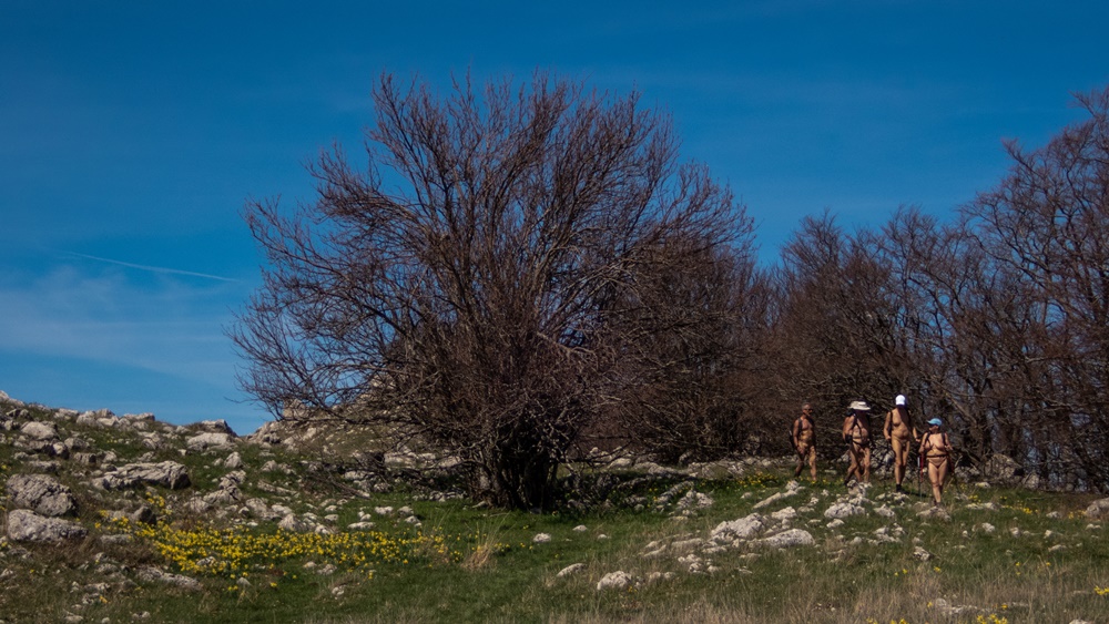
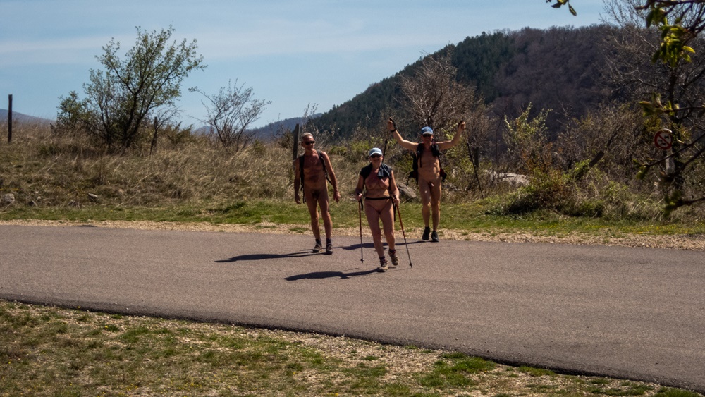
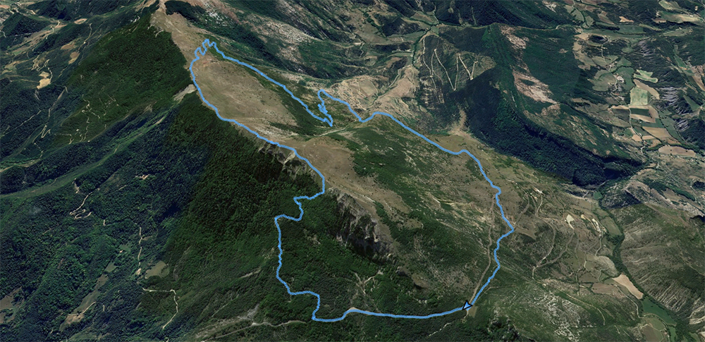
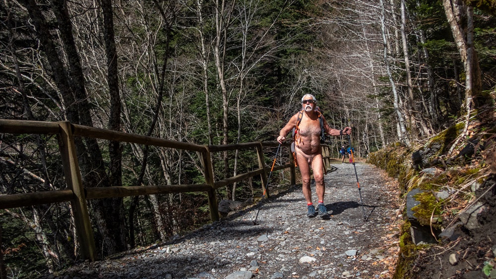
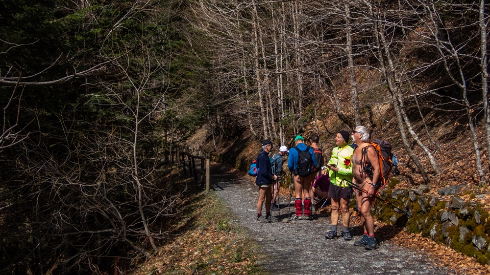
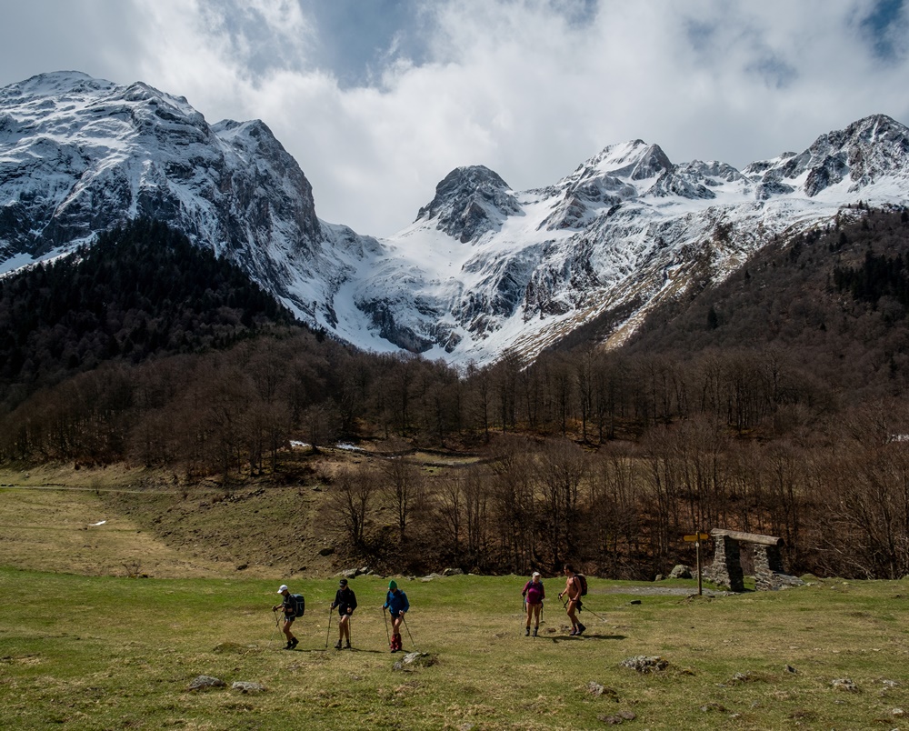
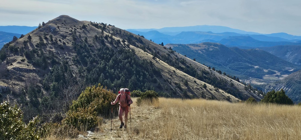
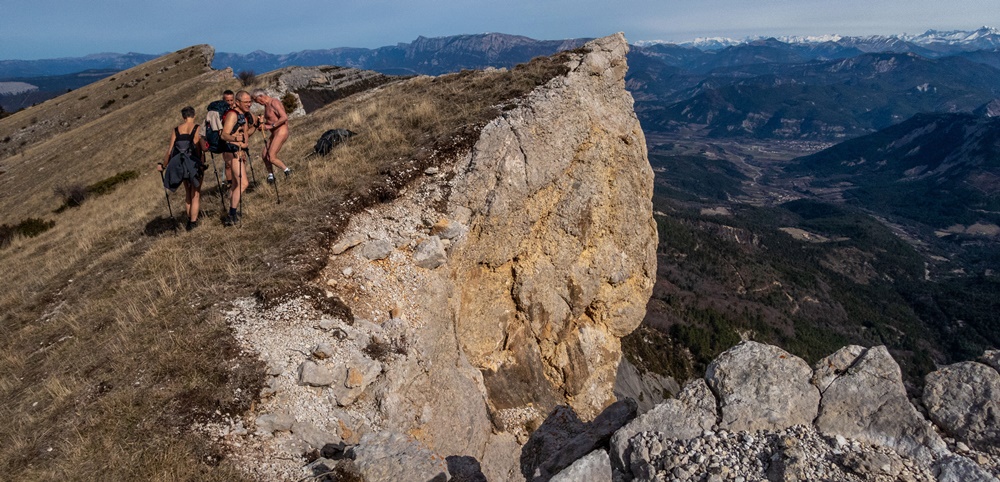
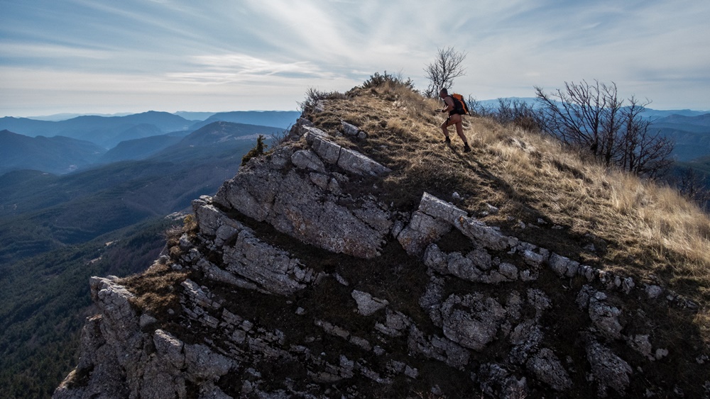
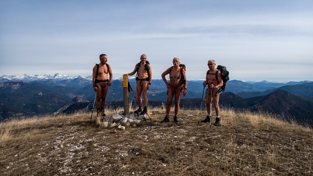
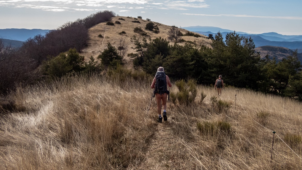
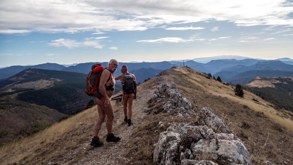
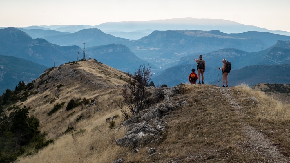
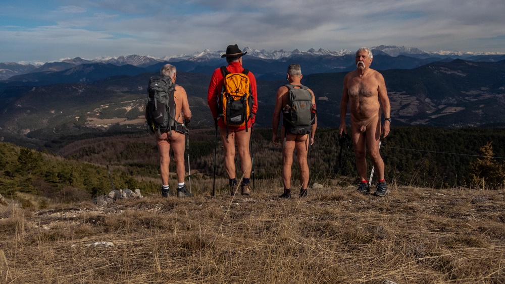
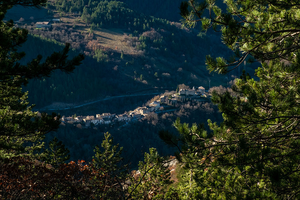
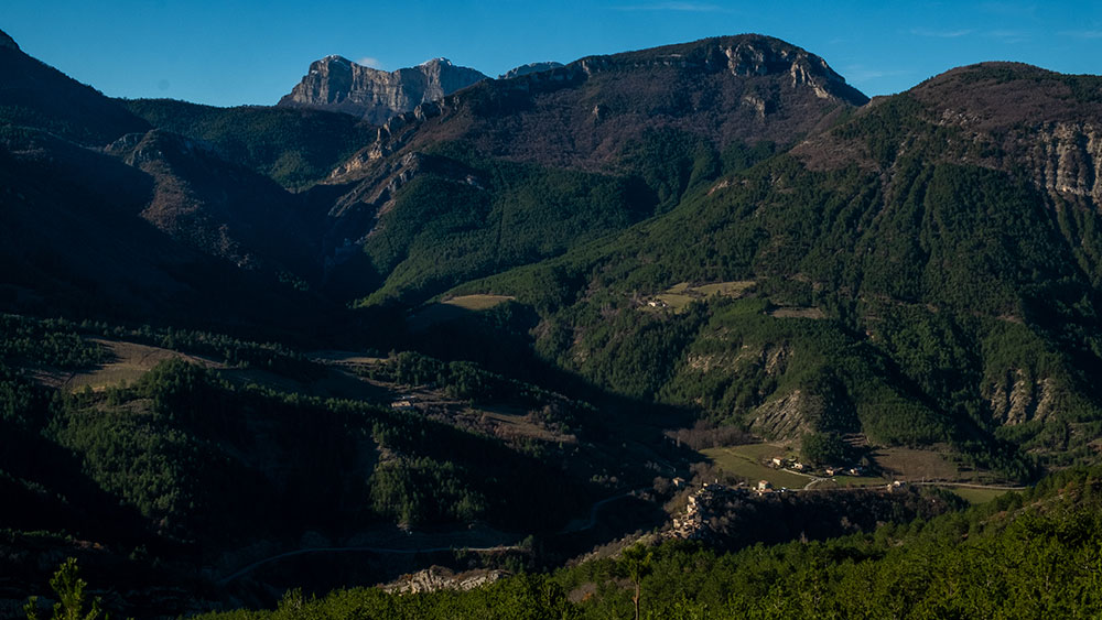
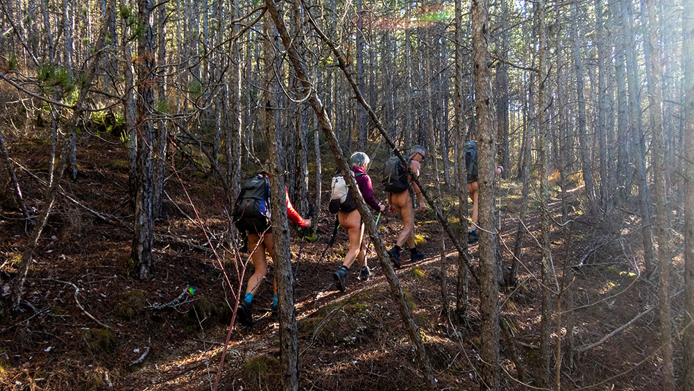
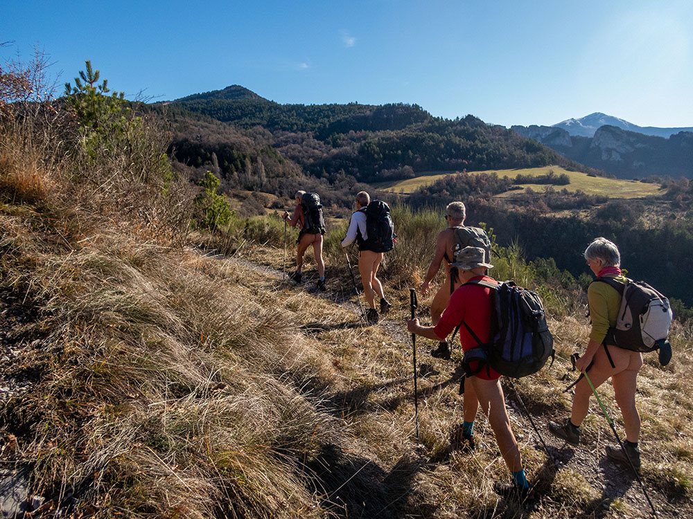
Dimanche matin, à 10 h, nous retrouvons à huit au bord de la route des Gorges des Gâts, dont deux nouveaux pour l’association des Marcheurs Nus du Val de Roanne. La route à traverser et le sentier est là qui commence à grimper en lacets dans la forêt. On a vite chaud malgré la fraîcheur ambiante. Les premiers commencent à se déshabiller, les autres suivront plus tard, chacun selon son ressenti. On rejoint le chemin des Baumes. Celui ci longe des murs de roche creusés de renfoncements, des lignes de falaises incurvées, s’étire sur des passages étroits à flanc de pentes. De l’autre côté, on domine les gorges des Gâts et les rochers de Soubreroche. A un moment on croise au détour du chemin une femme qui sourie de nous voir aussi peu vêtus, puis on rencontre une autre femme et un jeune homme arrêtés au bord de la piste en train de réchauffer un plat sur un petit feu. Discussion. Elle connaît l’association et a même participé à une sortie il y quelques années, mais aujourd’hui « trop froid ! ». Repas dans une clairière bien abritée du vent qui souffle un peu plus haut. Au soleil, il fait si bon que même les plus frileux se mettent nus pour une sieste allongés dans l’herbe. On poursuit en suivant le cours du petit ruisseau du Rio Sourd jusqu’à retrouver la piste de Reychas et retrouver les deux randonneurs de tout à l’heure qui ont tourné en sens inverse de nous. On arrive au hameau de Reychas, abandonné en cette saison. L’été, la bergerie et une maison sont occupées. La petite chapelle est cependant ouverte à la visite. On repart et redescend entre piste et sentiers jusqu’au parking. La route est si peu fréquentée que je me permet d’arriver à la voiture sans me couvrir.


Sunday morning, at 10 am, we meet at eight at the edge of the road of the Gorges des Gâts, including two new ones for the association of the Naked Walkers of the Valley of Roanne. The road to cross and the path is there which begins to climb in laces in the forest. We are quickly warm in spite of the ambient freshness. The first ones begin to undress, the others will follow later, each one according to its feeling. We join the path of Baumes. This one goes along walls of rock dug of recesses, lines of curved cliffs, stretches on narrow passages in the side of slopes. On the other side, one dominates the gorges of Gâts and the rocks of Soubreroche. At a moment we cross at the bend of the way a woman who smiles to see us so unclothed, then we meet another woman and a young man stopped at the edge of the track heating a dish on a small fire. Discussion. She knows the association and even participated in an outing there are some years, but today « too cold! Meal in a clearing well sheltered from the wind which blows a little higher. In the sun, it is so good that even the most sensitive to cold put themselves naked for a nap lying in the grass. We continue by following the course of the small brook of Rio Sourd until we find the track of Reychas and find the two hikers of earlier who turned in opposite direction of us. We arrive at the hamlet of Reychas, abandoned in this season. In summer, the sheepfold and a house are occupied. The small chapel is however opened to the visit. We leave and go down again between track and paths until the parking. The road is so little frequented that I allow myself to arrive at the car without covering me.

Séjour dans le Dévoluy

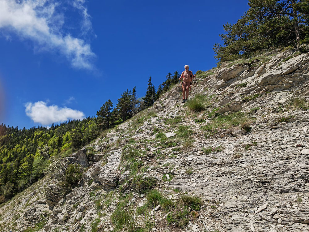
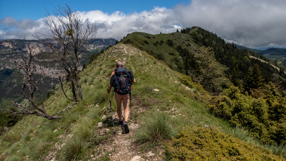
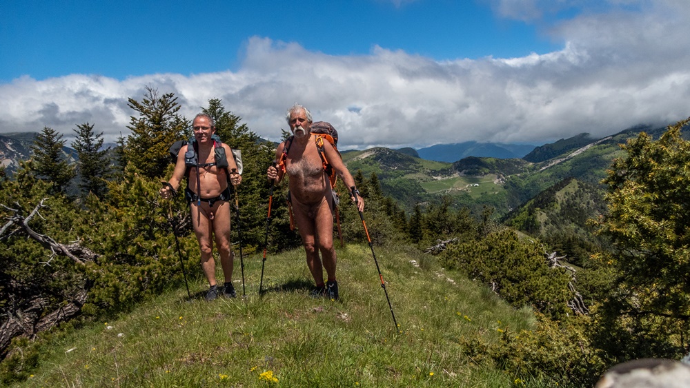
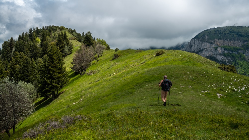
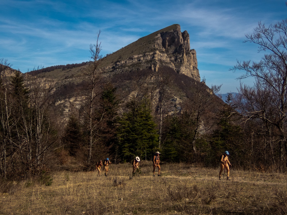
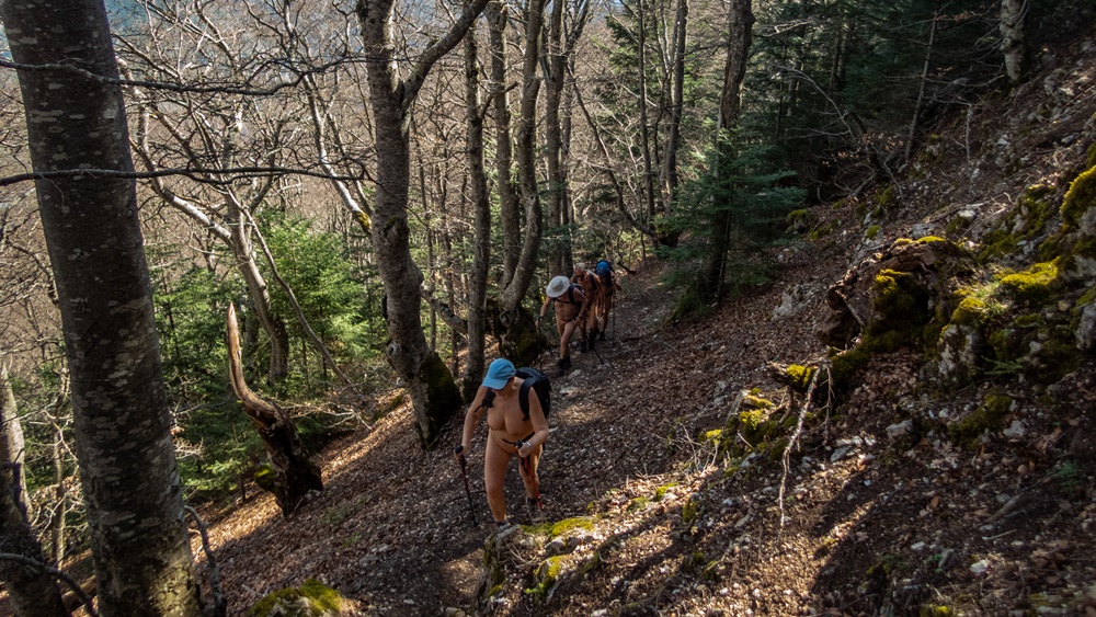
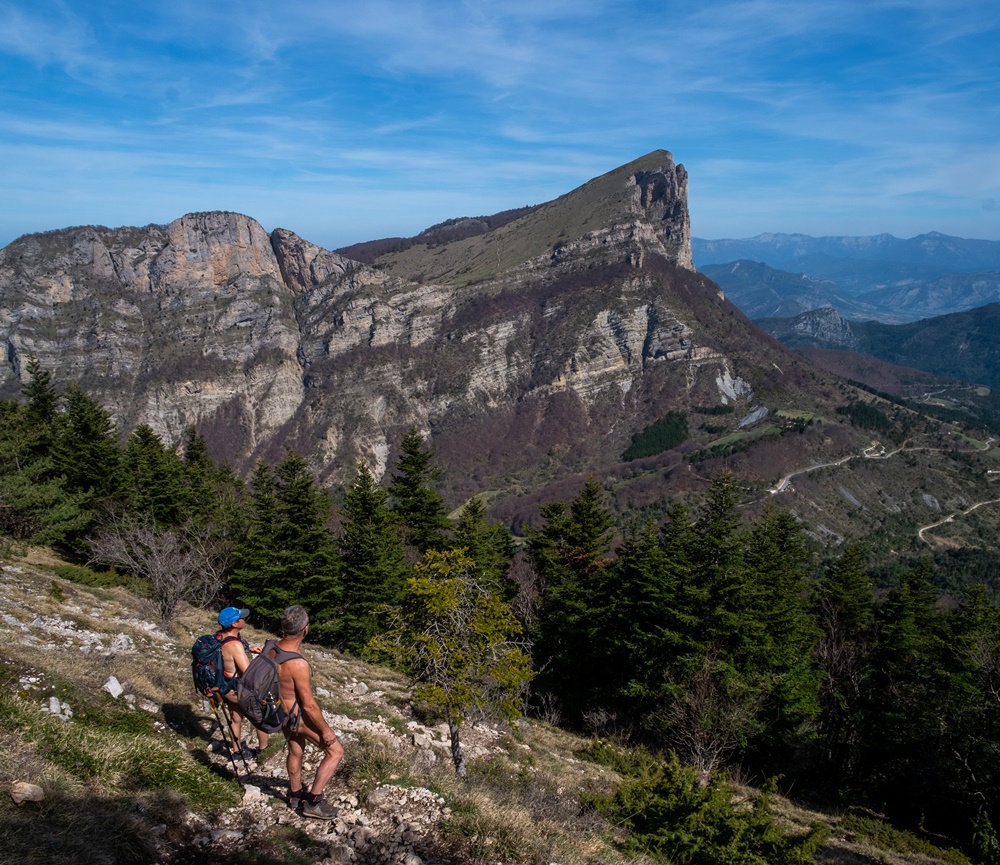
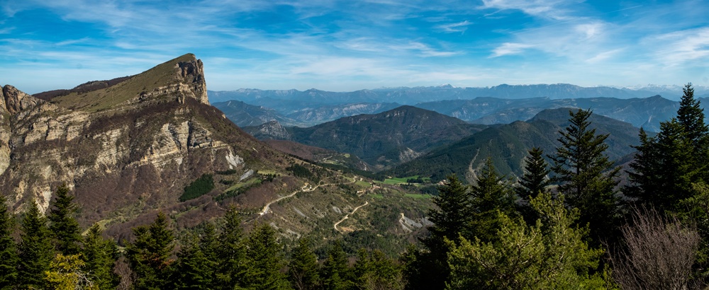
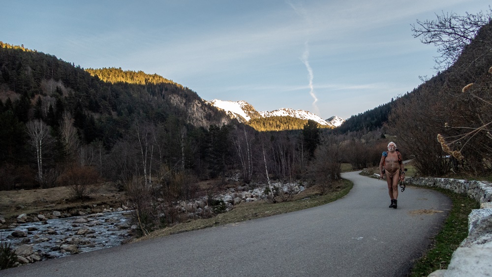
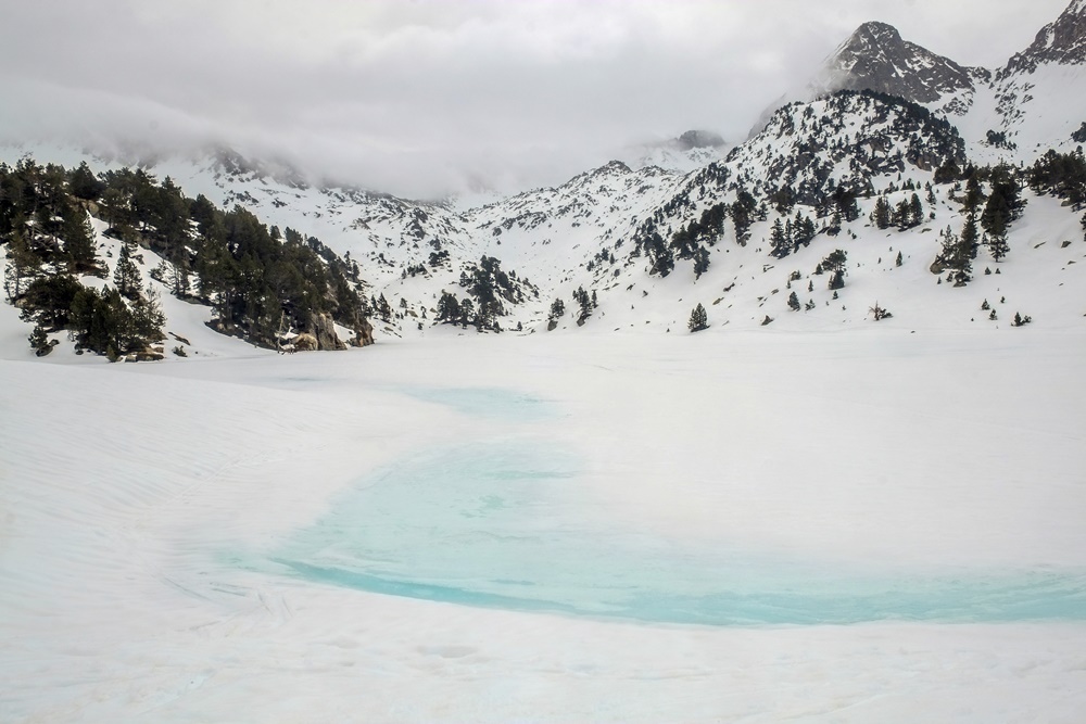
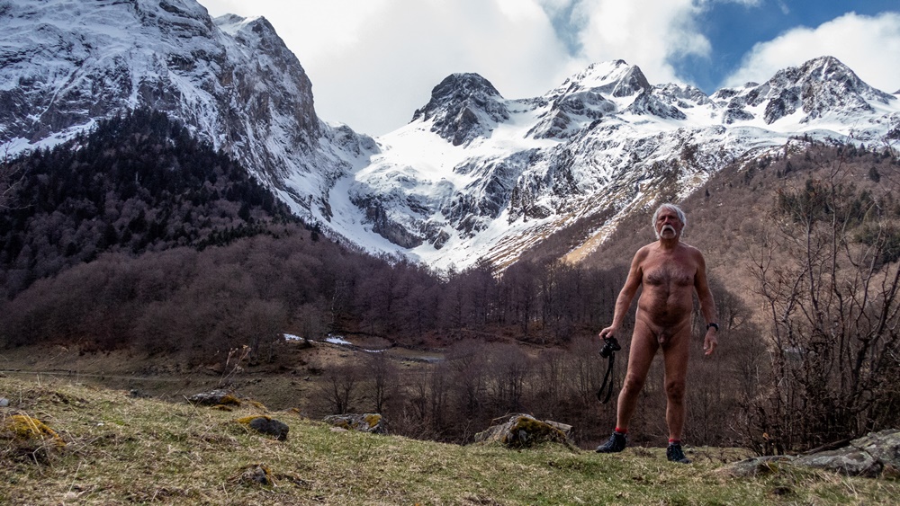
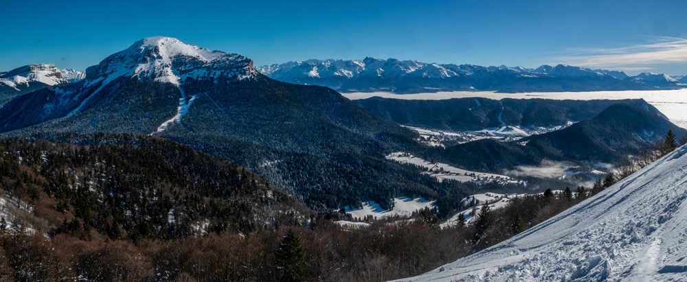
Nouveau séjour organisé par Bruno et l’association RSVN ; la destination en est ce printemps le massif du Dévoluy avec comme base de vie un gîte dans le hameau du Collet au dessus de Saint Étienne en Dévoluy. Les prévisions météo sont plutôt pessimistes pour la semaine et annoncent de la pluie ; il faudra faire avec !

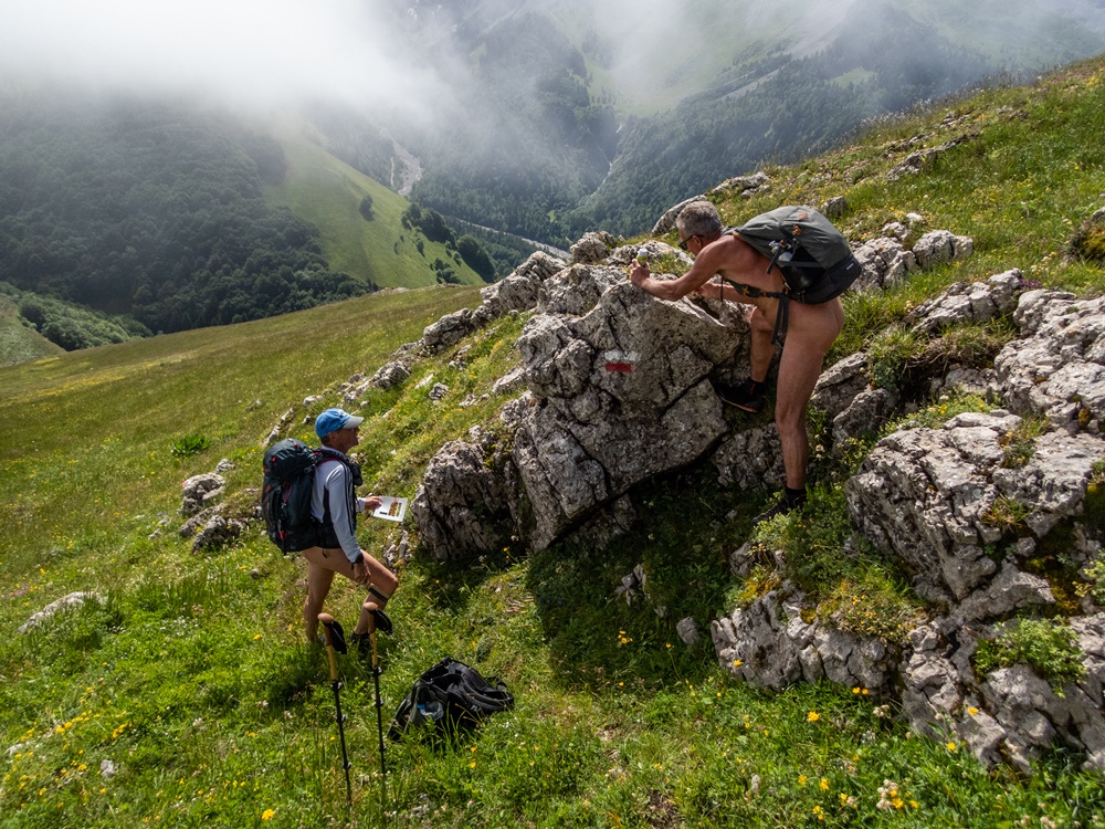
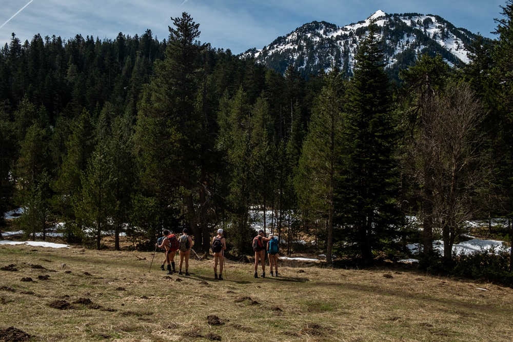
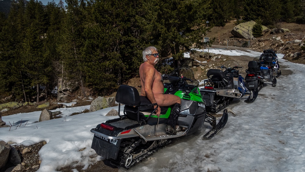
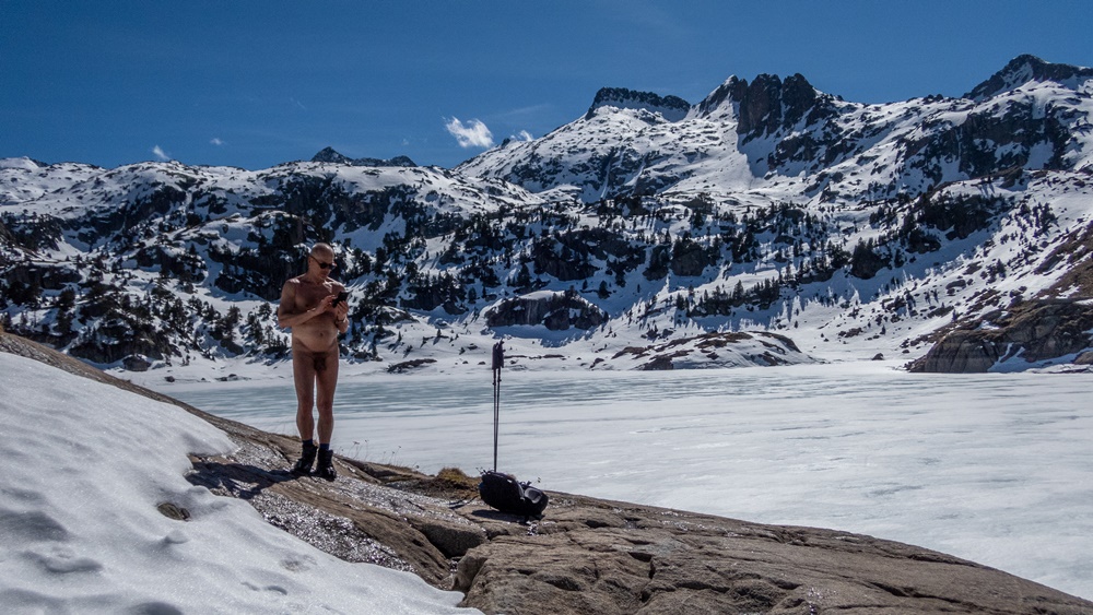
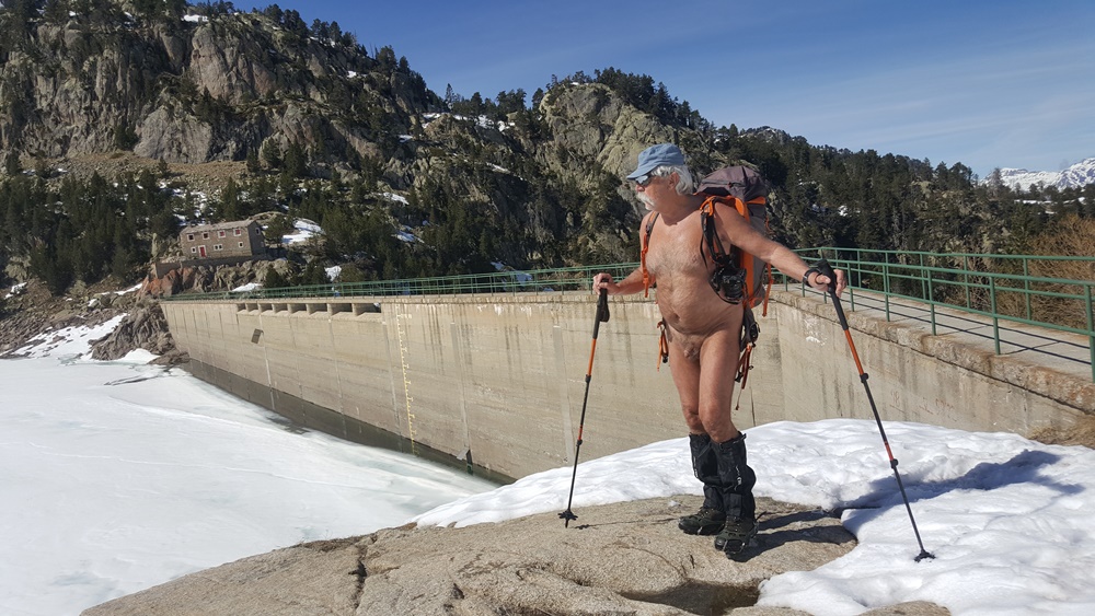
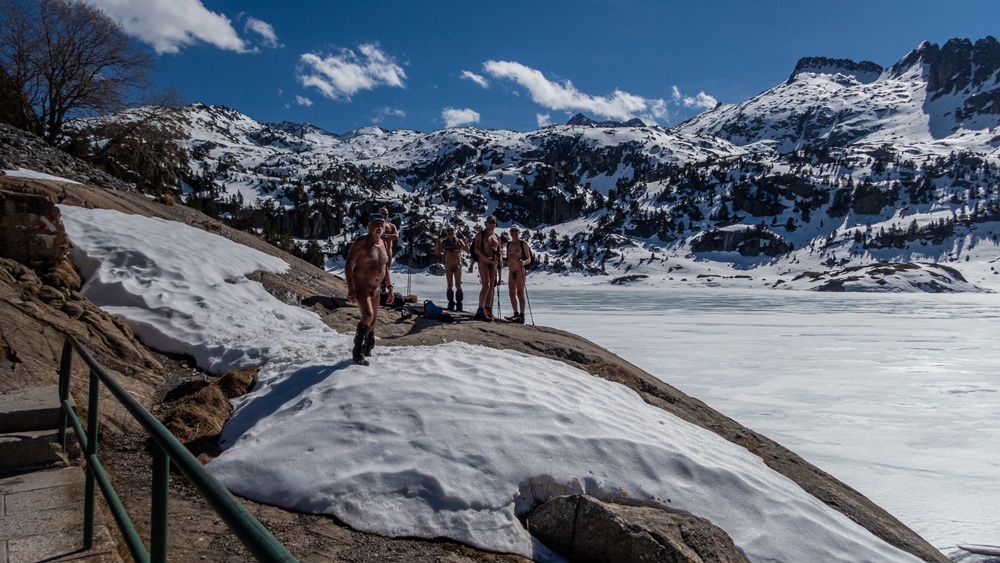
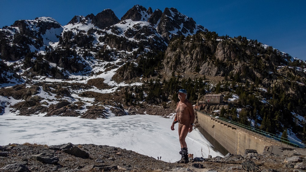
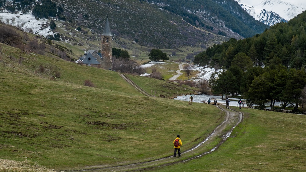
Première balade le dimanche en partant directement à pied du gîte. Une légère bruine ne nous décourage pas, qui cesse rapidement et laisse un ciel chargé et gris. Un kilomètre de route sur laquelle nous restons bien couverts jusqu’à dépasser une grosse bergerie gardée par des patous qui s’approchent en aboyant mais laissent le passage. Une descente sur une piste de terre mène au départ du sentier. Déshabillage. Le chemin monte le long d’un vallon jusqu’à atteindre la cabane de l’Aup puis le col de l’Aup où un vent froid nous attend, avec une vue un peu terne sur le lac du Sautet au loin. Retour à la cabane pour le pique nique avant d’entamer la descente.

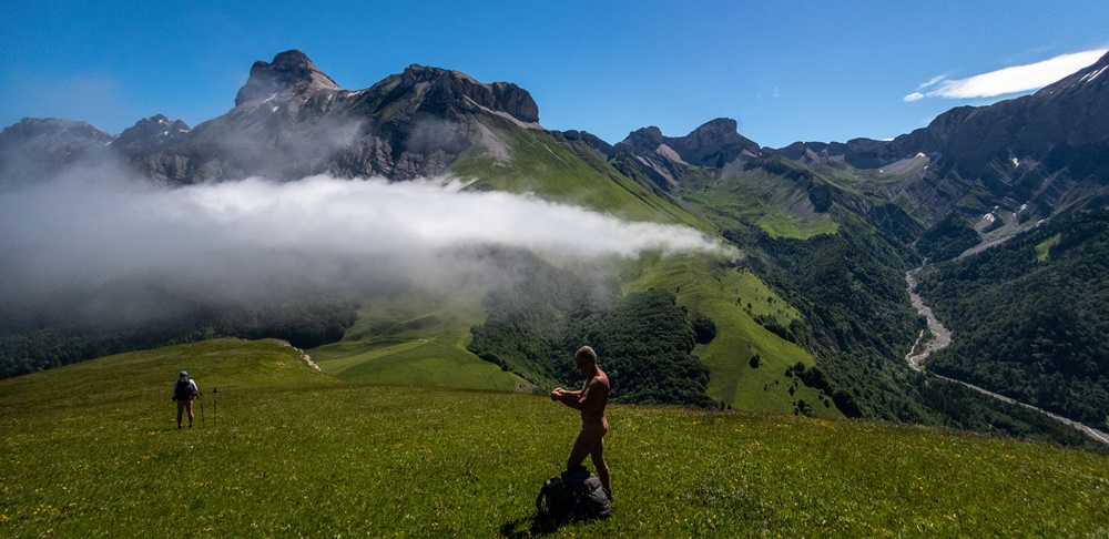
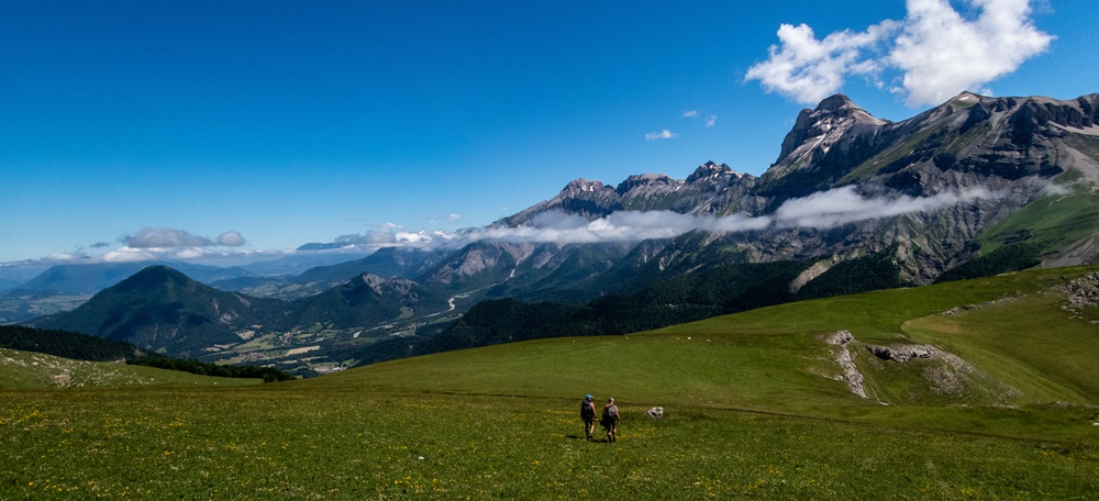
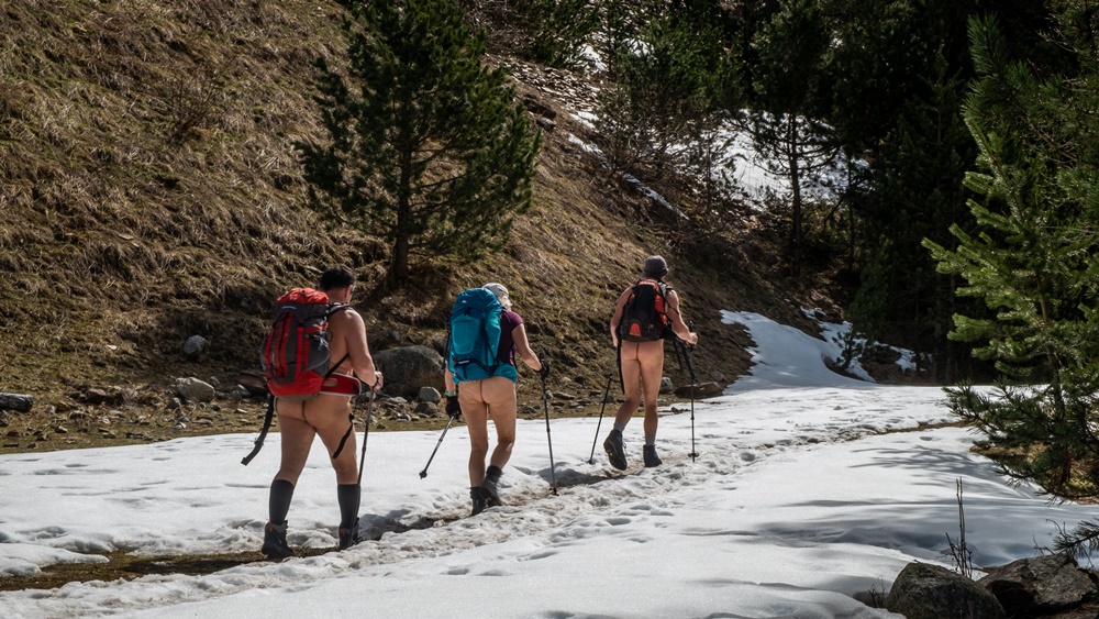
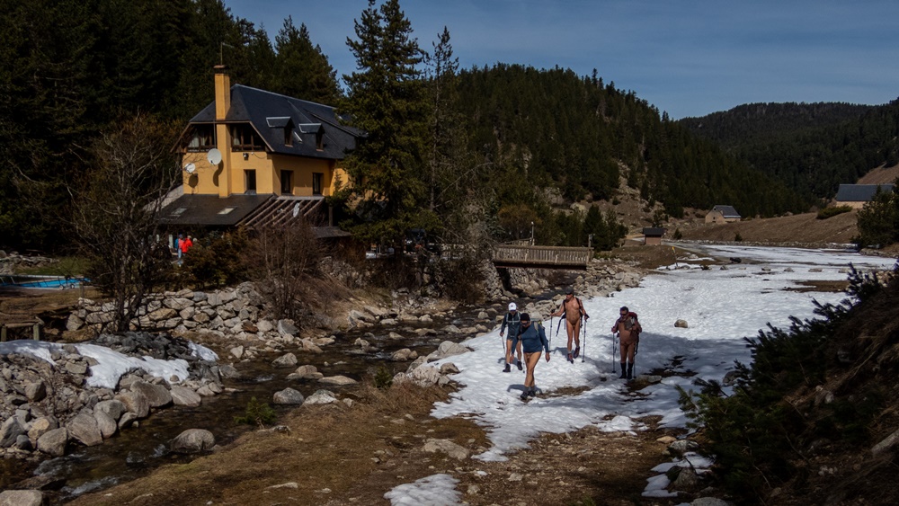
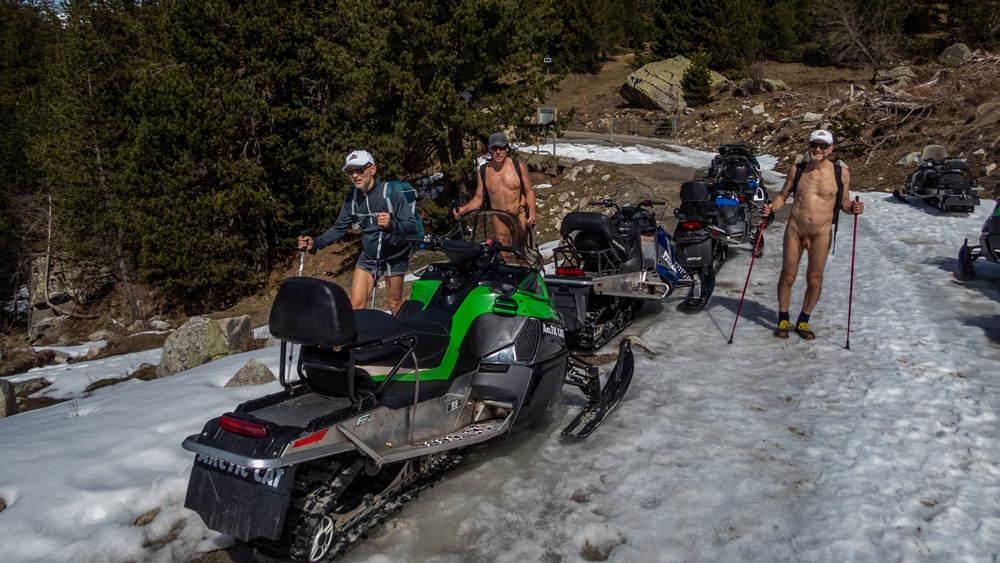
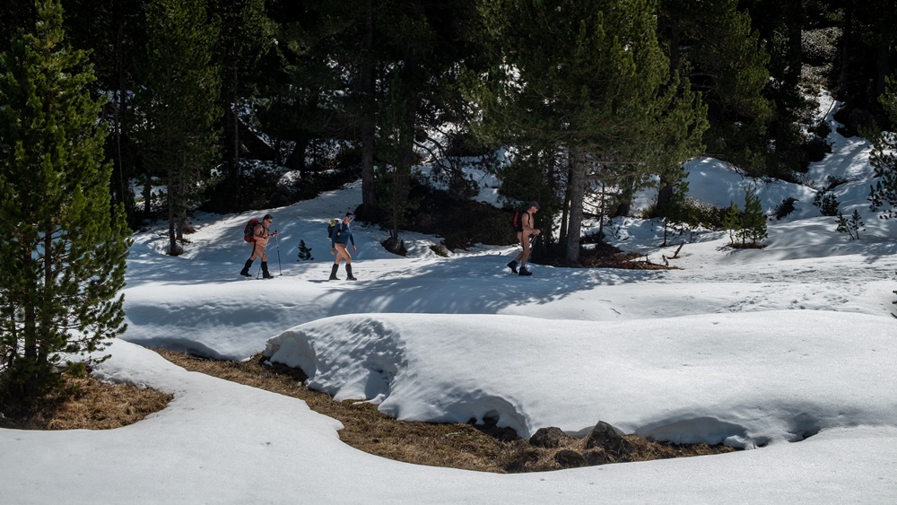
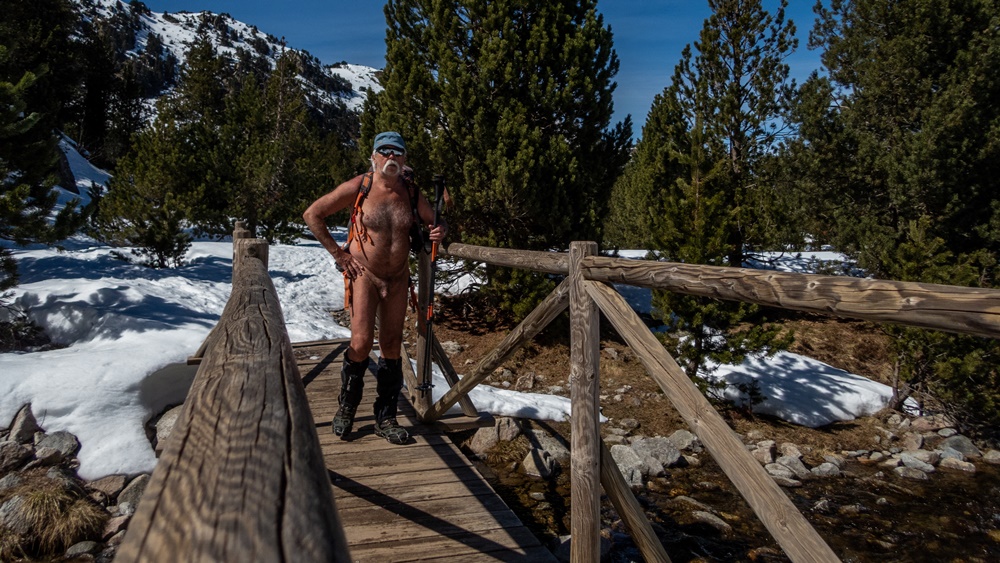
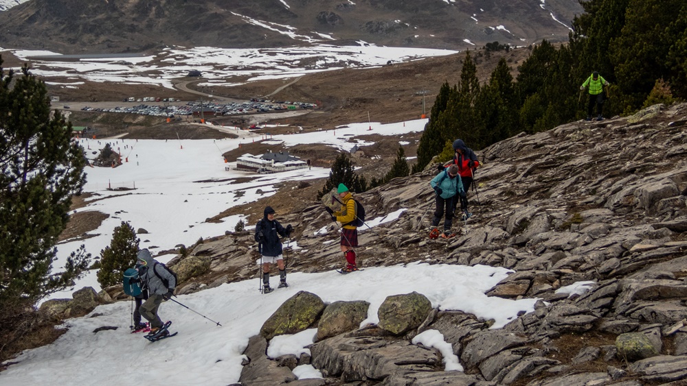
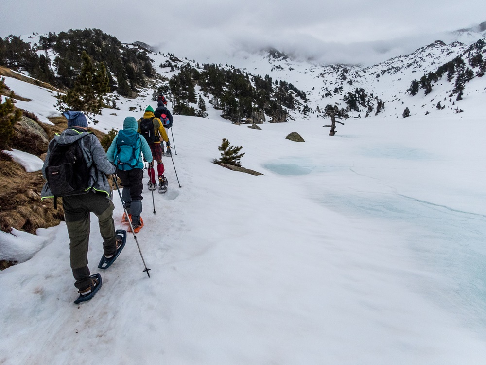
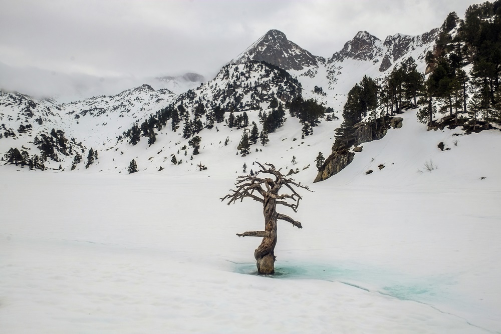
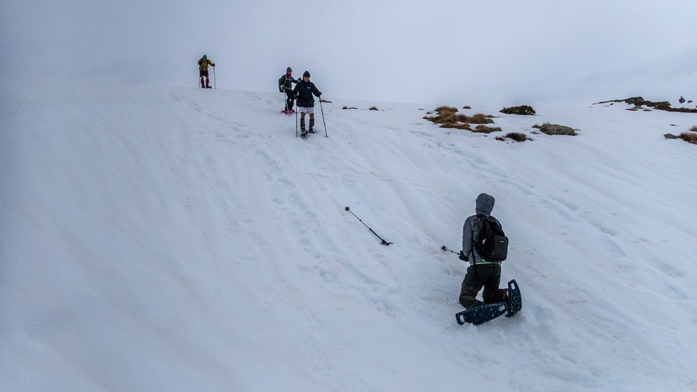
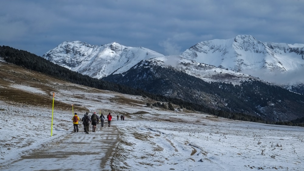
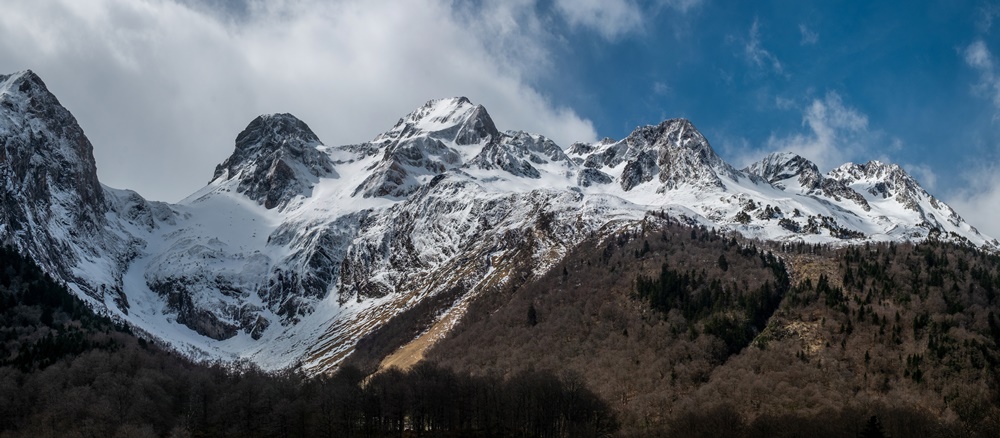
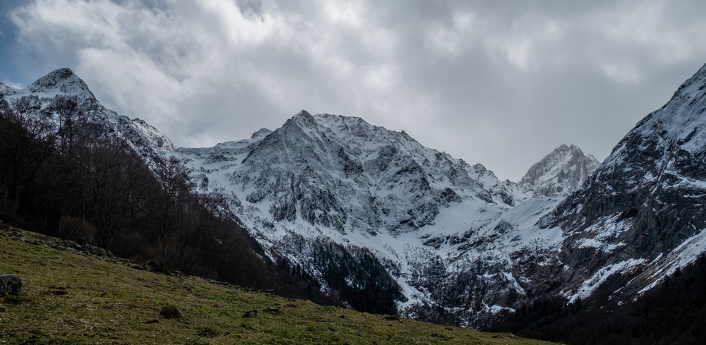
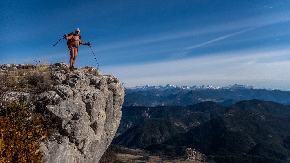
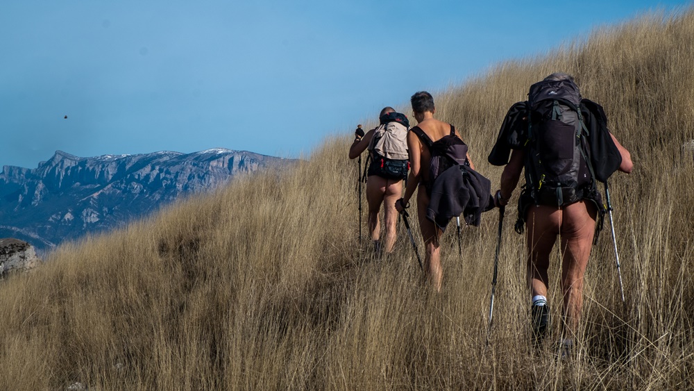
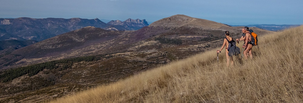
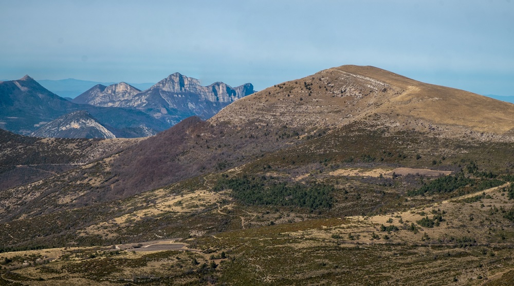
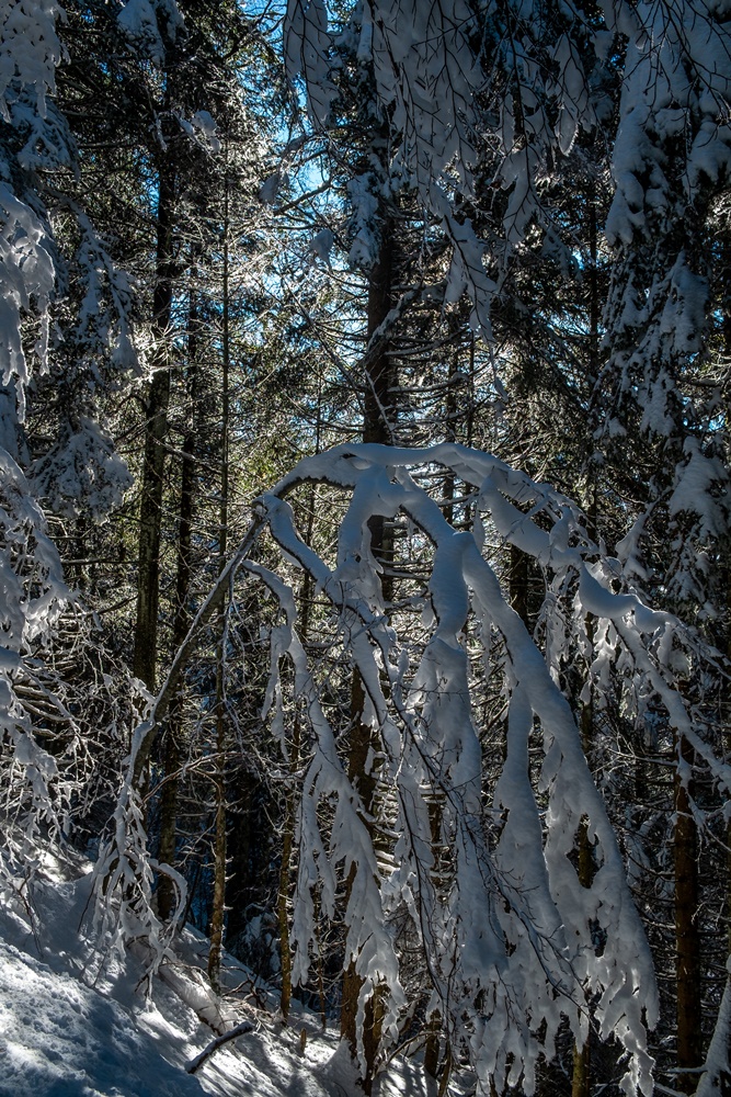
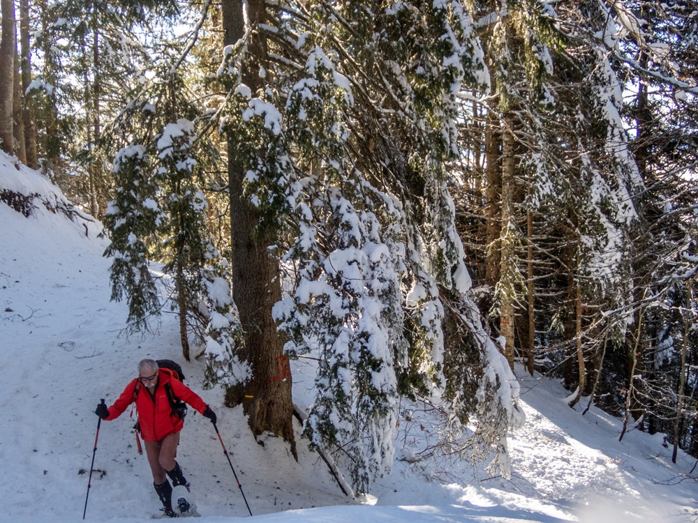
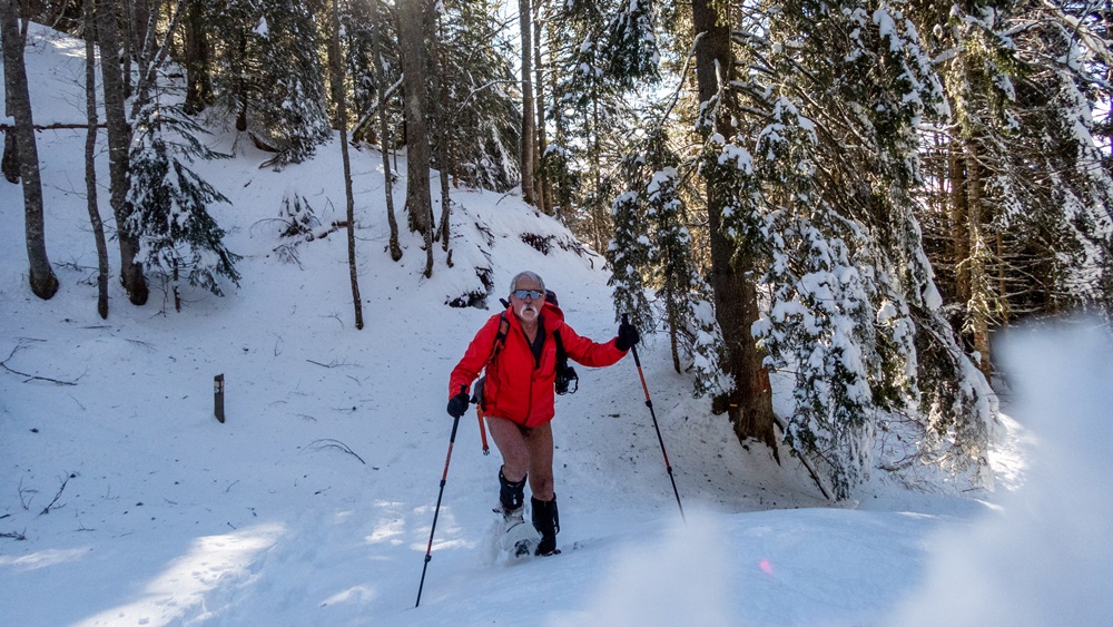
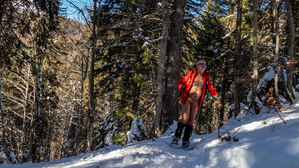
Lundi. Départ d’un petit pont sur la Souloise. Piste en forêt avec les premières plaques de neige. Puis la neige se faisant plus présente, on chausse les raquettes. On sort de la forêt. Le paysage s’ouvre, les nuages se déchirent et laissent entrevoir les sommets environnants. On monte en file indienne jusqu’à notre but du jour : le col de Rabou. Là aussi le vent nous surprend, un brouillard aussi. Il nous faut vite trouver un coin abrité pour le repas. La descente par l’autre côté du vallon sur une large piste dégagée et sous un soleil revenu et même chaud nous ramène par quelques détours à notre point de départ, avec une vue panoramique sur la montagne d’Aurouze et son plateau de Bure juste en face de nous, et la barrière qui s’étend de l’Obiou au Ferrand et à la Tête de Lauzon sur le côté.

Mardi l’objectif était le col du Charnier en partant du hameau de la Chaud. Au niveau du chourum Clot, on chausse les raquettes (un chourum est le terme signifiant gouffre dans le Dévoluy). Mais arrivé sur un petit plateau tranquille et devant la difficulté envisagée d’une descente en dévers suivi d’une section encore longue à boucler avant d’atteindre le col, le groupe décide de stopper là, de manger et même de faire la sieste !

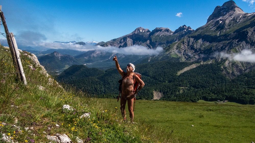
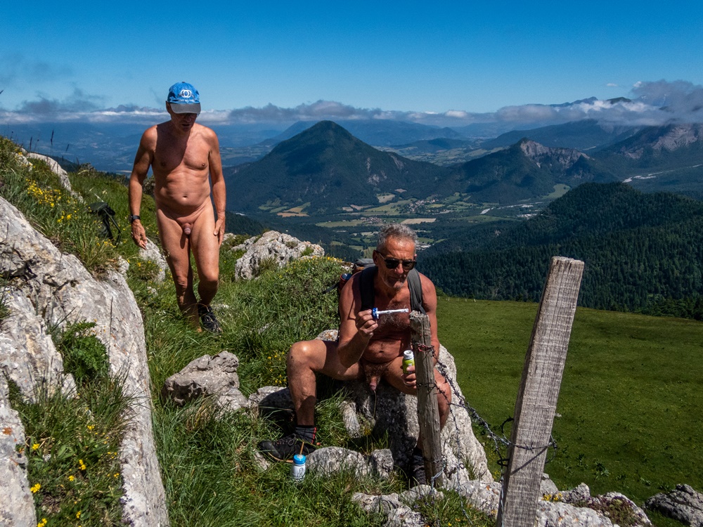
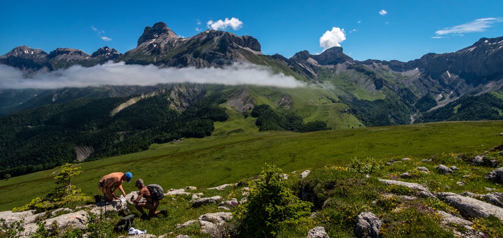
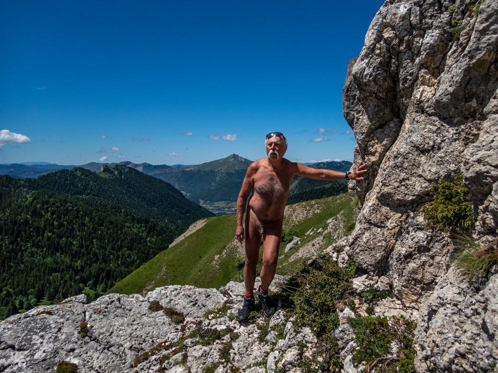
Mercredi, départ du col du Festre. On atteint une cabane à la limite de la neige. Trois randonneurs nous précèdent. On doublera le dernier dans un raidillon qui mène au Collet. C’est l’itinéraire d’hiver qui évite un cheminement trop en dévers par le GR. Au Collet, Bruno, Franck, Stéphane, Guillaume et Patrick puis Yannick entament la descente et l’aller-retour vers le vallon des Aiguilles. Je préfère avec Yves, Chantal et Jean Paul, puis Patricia et Dominique rester aux alentours, en montant sur la Tête du Jas des Arres puis la Tête de Merlant, deux petits sommets qui permettent une vision à 360° du panorama idéale pour la photographie.

Jeudi. Ce sera une balade sans neige. Départ du hameau du Mas, au dessus de Saint Disdier. Sur un sol de dalles rocheuses, puis en forêt on atteint la cabane de Pierre Baudinard, accrochée au bord d’un chaos de gros blocs de roche. On continue jusqu’à une deuxième cabane en moins bon état. Détour pour admirer le chourum de la Parza, impressionnant avec son glacier souterrain qui effleure au fond du trou. Un peu au jugé, sans qu’il y ait vraiment de sentier, on rejoint la cabane Martin et un autre chourum à proximité. Retour à travers de belles prairies d’altitude et des forêts de hêtres au sol couverts de feuilles mortes jusqu’à retrouver la civilisation au hameau de Villard Joli.

Vendredi enfin pour la dernière balade de la semaine, on quitte quelque peu le massif pour rejoindre la station de ski fermée de Céüze. Le temps est bien gris et frais. On part sous les pylônes des remontées mécaniques. Un sentier nous mène en bordure de cette montagne à la forme circulaire, un synclinal perché dont on fait un quasi tour avant de traverser en retour vers la station sous une petite pluie qui commence à poindre. Juste à temps !

Finalement la météo n’aura pas été si mauvaise que cela nous permettant de se balader nus tous les jours.


New trip organized by Bruno and the RSVN association; the destination this spring is the Dévoluy massif with a gîte in the hamlet of Collet above Saint Étienne en Dévoluy as a base. The weather forecast is rather pessimistic for the week and announces rain; we will have to deal with it!
First walk on sunday, starting directly from the gîte. A light drizzle doesn’t discourage us, but it stops quickly and leaves a heavy and grey sky. One kilometer of road on which we remain well covered until we pass a large sheepfold guarded by patous who approach barking but let us pass. A descent on a dirt track leads to the trailhead. Undressing. The path climbs along a valley until we reach the Aup hut and then the Aup pass where a cold wind awaits us, with a somewhat dull view of the Sautet lake in the distance. Back to the hut for a picnic before starting the descent.
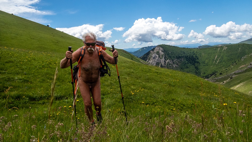

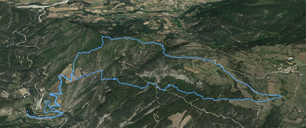
Monday. Departure from a small bridge on the Souloise. Trail in the forest with the first patches of snow. Then the snow becoming more present, we put on the snowshoes. We leave the forest. The landscape opens, the clouds tear and let glimpse the surrounding summits. We go up in single file until our goal of the day: the pass of Rabou. There also the wind surprises us, a fog also. We must quickly find a sheltered place for the meal. The descent by the other side of the valley on a wide open track and under a returned and even warm sun brings us back by some detours to our starting point, with a panoramic view on the Aurouze mountain and its plateau of Bure just in front of us, and the barrier which extends from the Obiou to the Ferrand and the Tête de Lauzon on the side.
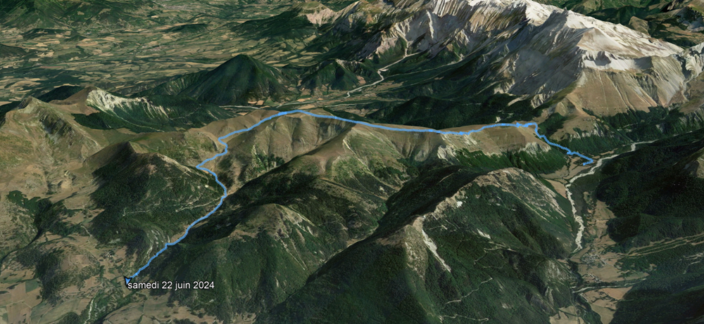
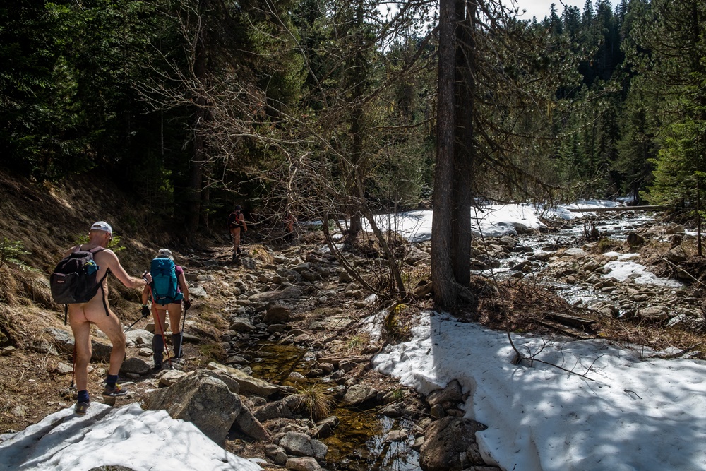

Tuesday the objective was the Col du Charnier starting from the hamlet of La Chaud. At the level of the chourum Clot, we put on the snowshoes (a chourum is the term meaning chasm in the Dévoluy). But arrived on a small quiet plateau and in front of the envisaged difficulty of a descent in overhang followed by a section still long to be completed before reaching the pass, the group decides to stop there, to eat and even to make the nap!
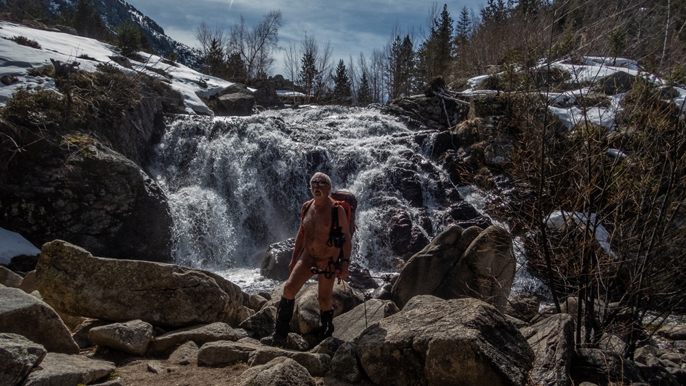

Wednesday, departure of the pass of Festre. We reach a hut at the limit of the snow. Three hikers precede us. We will double the last one in a steep path which leads to the Collet. It is the winter itinerary which avoids a path too much in slope by the GR. At the Collet, Bruno, Franck, Stéphane, Guillaume and Patrick then Yannick begin the descent and the round trip towards the Aiguilles valley. I prefer with Yves, Chantal and Jean Paul, then Patricia and Dominique to stay around, climbing to the Tête du Jas des Arres then the Tête de Merlant, two small summits which allow a 360° view of the panorama ideal for photography.

Thursday. It will be a walk without snow. Departure from the hamlet of Mas, above Saint Disdier. On a ground of rocky slabs, then in forest we reach the hut of Pierre Baudinard, hung on the edge of a chaos of big blocks of rock. We continue until a second hut in less good state. Detour to admire the chourum of the Parza, impressive with its underground glacier that skims the bottom of the hole. A little bit on the judge, without really having a path, we reach the Martin hut and another chourum nearby. Back through beautiful meadows of altitude and forests of beech trees with the ground covered with dead leaves until finding civilization at the hamlet of Villard Joli.


Friday finally for the last walk of the week, we leave the massif to join the closed ski resort of Céüze. The weather is quite gray and fresh. We leave under the pylons of the ski lifts. A path leads us in edge of this mountain in the circular shape, a perched syncline of which we make a quasi turn before crossing in return towards the station under a small rain which begins to appear. Just in time!
Finally the weather will not have been so bad as that allowing us to walk naked every day.


Corde

En ce mois de février, il n’y a pratiquement pas de neige en Chartreuse, c’est donc à une balade à pieds que nous invite Bruno. Nous sommes quatre. Le petit parking du Pont des Allemands est déjà bien rempli, mais pas d’inquiétude, c’est aussi le départ d’un chemin qui mène au monastère de la Grande Chartreuse. Nous nous partons en sens opposé. Nous doublons seulement trois personnes chargées de matériel de prise de vue, mais nous sommes encore habillés à ce moment là. Au bout d’une vingtaine de minutes, réchauffés et au soleil nous pouvons quitter les vêtements. Un petit sentier en forêt, la traversée d’une piste, puis un second chemin, nous arrivons au habert des Rochers. Arrêt devant la bâtiment. Un vieux cadran solaire en orne le mur. On repart pour atteindre notre point culminant au dessus du habert de Corde, que l’on évite. Arrêt pique nique et courte sieste dans la prairie juste devant une chapelle en rondins de bois édifiée il y a une vingtaine d’années par les scouts. A l’intérieur, je trouve même une geocache bien mal dissimulée. Retour par un chemin défoncée par le débardage et la fonte des dernières plaques de neige. On enfonce les chaussures dans la boue. Puis on retrouve un cheminement plus pratique, avec la barrière rocheuse du Grand Som en panorama juste en face de nous.


In this month of February, there is almost no snow in Chartreuse, so Bruno invites us to go for a walk. We are four. The small parking lot of the Pont des Allemands is already quite full, but don’t worry, it’s also the start of a path that leads to the Grande Chartreuse monastery. We leave in the opposite direction. We only pass three people loaded with camera equipment, but we are still dressed at this time. After about twenty minutes, warmed up and in the sun, we can remove our clothes. A small path in the forest, the crossing of a track, then a second path, we arrive at the habert des Rochers. Stop in front of the building. An old sundial decorates the wall. One sets out again to reach our culminating point over the habert of Rope, that one avoids. Stop picnic and short nap in the meadow just in front of a chapel in logs of wood built there is about twenty years by the scouts. Inside, I even find a geocache badly hidden. Return by a path damaged by the logging and the melting of the last patches of snow. One pushes the shoes in the mud. Then we find a more practical way, with the rocky barrier of the Big Som in panorama just in front of us.

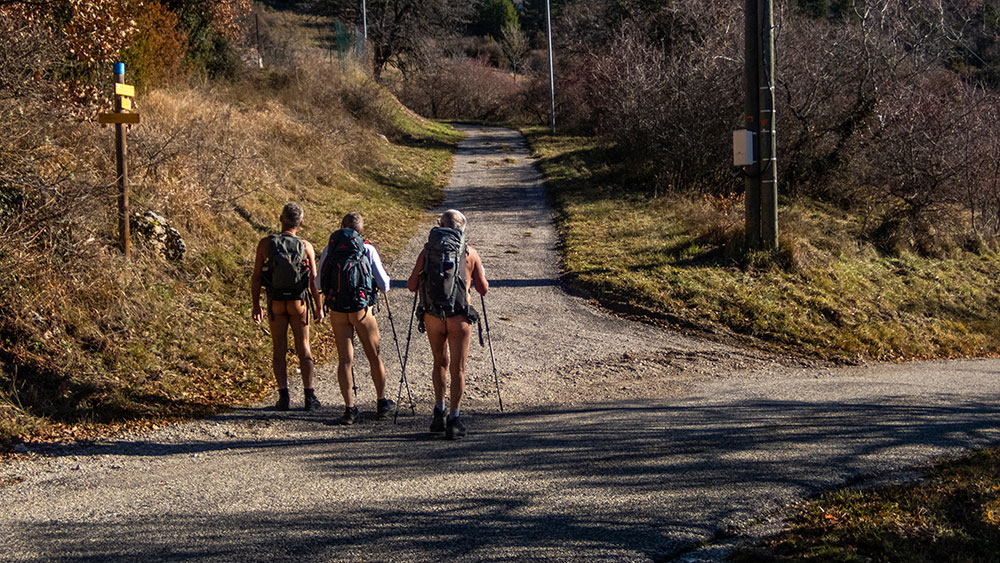
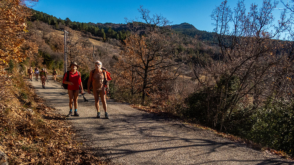
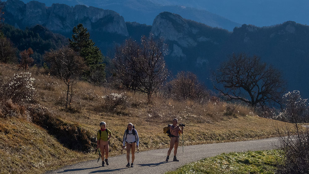
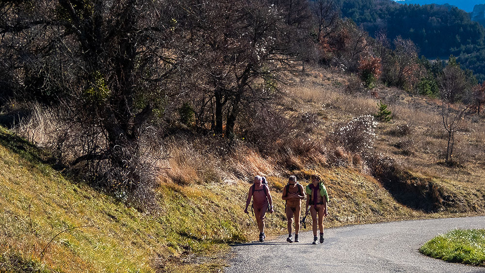
Les hameaux de Creyers

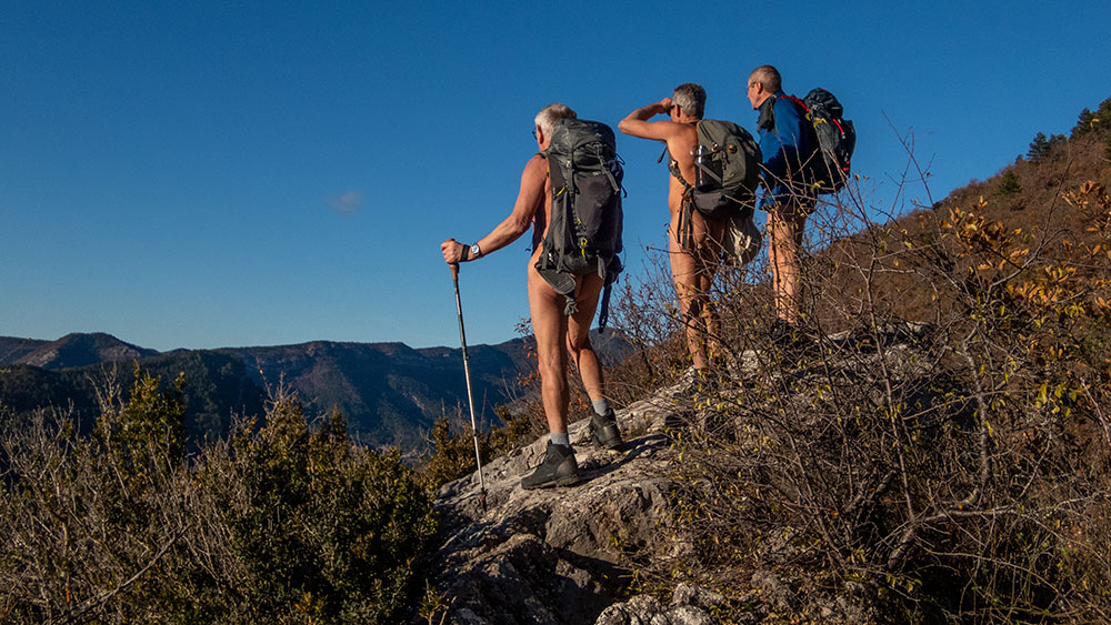
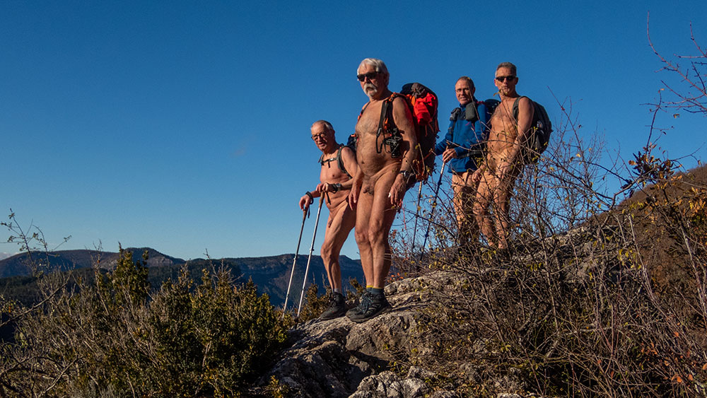
Nous sommes cinq pour cette sortie de l’association des Marcheurs Nus du Val de Roanne. On est mi février et pourtant le soleil brille dans un ciel bleu, on se croirait presque déjà au printemps. Au bout d’un quart d’heure de marche, on est réchauffé, on peut se déshabiller. Le sentier monte régulièrement entre barres rocheuses et massifs de buis. On rattrape deux personnes, déjà âgées. « J’espère que l’on ne vous choque pas ! On est une association de randonneurs naturistes. – Ah oui, on a vu ça dans le journal ! » On arrive au hameau du Serre, en ruine. Il ne reste que des fragments de murs envahis par la végétation. Un puits, grillagé pour éviter un accident. Un peu plus loin, je sais qu’il existe l’entrée d’un aqueduc souterrain, creusé pour amener l’eau vers le village. Je l’ai déjà exploré, il y a quelques années. L’entrée est protégée par une plaque de tôle et quelques morceaux de bois. On la dégage pour une rapide visite puis on referme soigneusement. On retrouve le couple rencontré en chemin. On prend le temps de discuter. Un de leur grand-père a été le dernier habitant d’un hameau voisin. Ils nous expliquent que chaque maison avait alors une réserve d’eau à la place de la cave. Que les différents hameaux ont été désertés dans les années 1920. Rencontre intéressante ! On continue en montant vers la crête de Courtinasse, quelque peu en mode sangliers, car il n’y a pas vraiment de chemin. Sur la crête on domine la vallée du village de Menée et le cirque d’Archiane, les sommets du Glandasse et des Rochers de Combau. Il existe une grotte dans le coin. Pascal nous assure qu’elle est traversante sous les rochers de l’arête et que l’on peut ressortir sur l’autre versant. Vérification faites. Le passage n’est pas bien long, mais il faut quelque peu ramper sur les cailloux pour passer une étroiture. Pique nique au soleil au milieu des massifs de buis. On descend jusqu’à une large piste que l’on va suivre jusqu’au deuxième hameau en ruine, celui de l’Église. Puis c’est par un petit sentier qui serpente dans la forêt que l’on rejoint notre point de départ. Rhabillage forcé à une dizaine de mètres de la route.


We are five for this outing of the association of the Naked Walkers of Roanne Valley. We are in the middle of February and yet the sun shines in a blue sky, we would almost believe to be already in spring. At the end of a quarter of an hour of walk, we are warmed up, we can undress. The path goes up regularly between rocky bars and massifs of boxwood. We catch up with two persons, already old. « I hope that we do not shock you! We are an association of naturist hikers. – Ah yes, we saw that in the newspaper! » We arrive at the hamlet of Serre, in ruin. It remains only fragments of walls invaded by the vegetation. A well, fenced to avoid an accident. A little further on, I know that there is the entrance of an underground aqueduct, dug to bring water to the village. I have already explored it, a few years ago. The entrance is protected by a plate of sheet metal and some pieces of wood. We clear it for a quick visit then we close it carefully. We find the couple met on the way. We take time to discuss. One of their grandfather was the last inhabitant of a nearby hamlet. They explain us that every house had then a reserve of water in the place of the cellar. That the different hamlets were deserted in the 1920s. Interesting encounter! We continue by going up towards the crest of Courtinasse, somewhat in wild boar mode, because there is not really a way. On the crest we dominate the valley of the village of Menée and the circus of Archiane, the summits of Glandasse and the Rocks of Combau. There is a cave in the area. Pascal assures us that it goes through the rocks of the ridge and that we can go out on the other side. We check it out. The passage is not very long, but we have to crawl a bit on the rocks to pass a narrow gap. Picnic in the sun in the middle of the massifs of boxwood. We go down to a wide track that we are going to follow until the second ruined hamlet, that of the Church. Then it is by a small path which winds in the forest that we join our starting point. Forced re-clothing in about ten meters of the road.