Durant l’été, je me suis raccroché à une invitation lancée sur la liste du groupe yahoo rando-nue pour une rando près de Bourg d’Oisans. Je n’avais pas prévenu que je participais et n’ayant que quelques heures de libre avant des rendez vous professionnels, j’ai dû faire demi tour avant la fin de la balade. J’ai néanmoins été très bien accueilli.
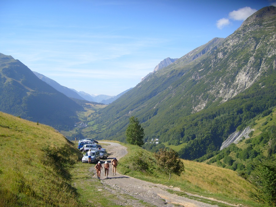
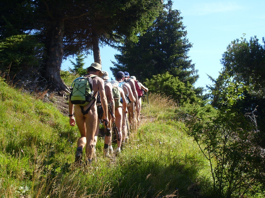
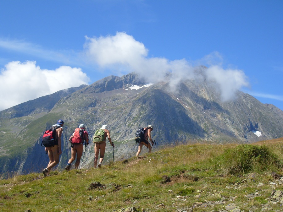
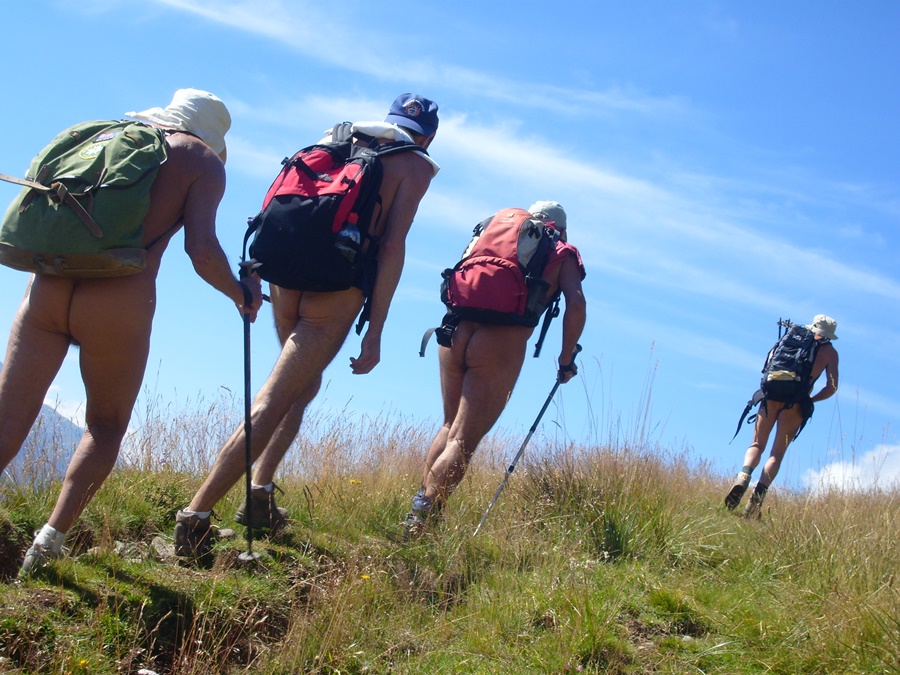
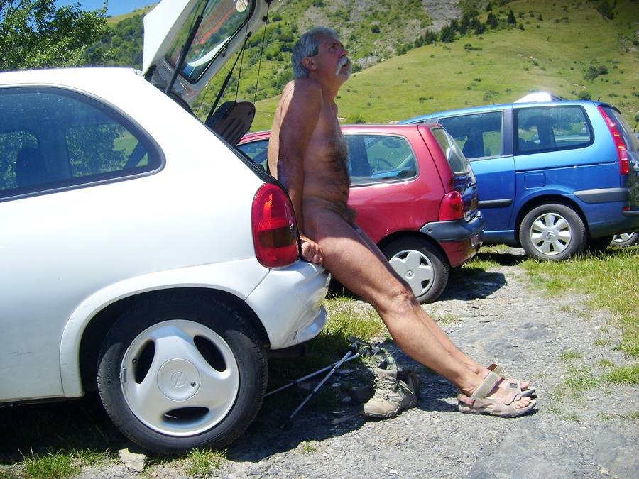
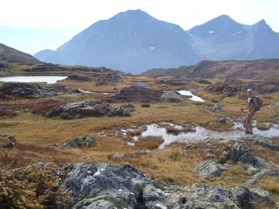
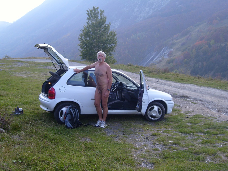
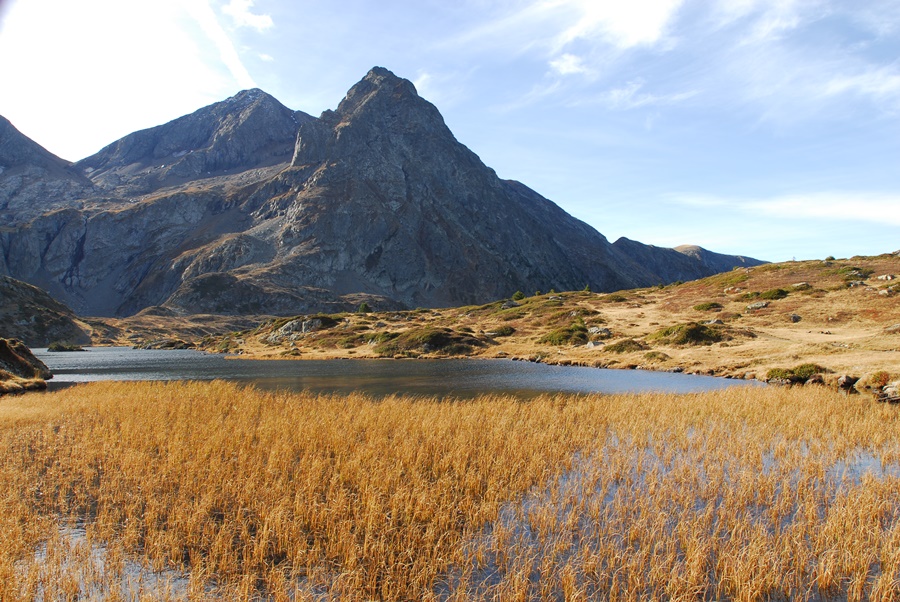
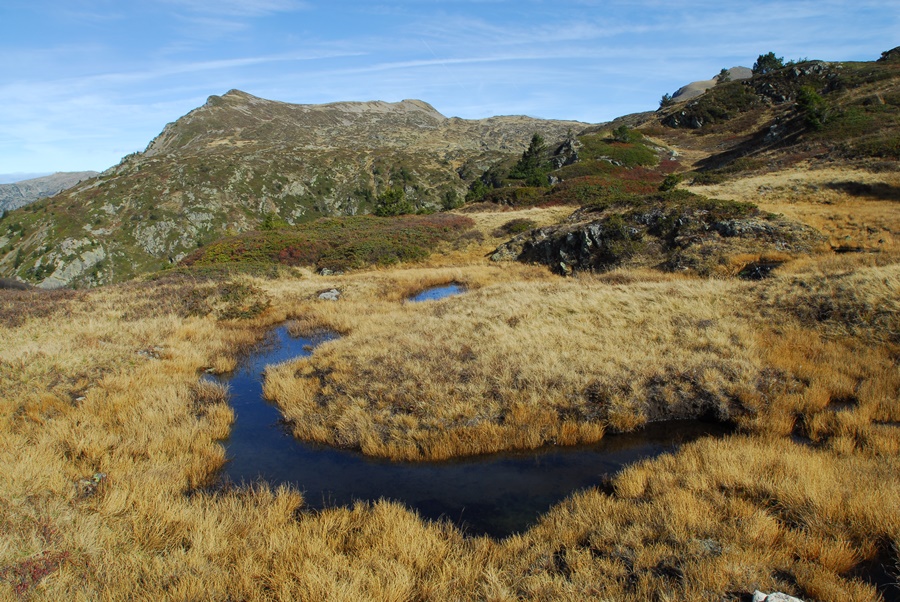
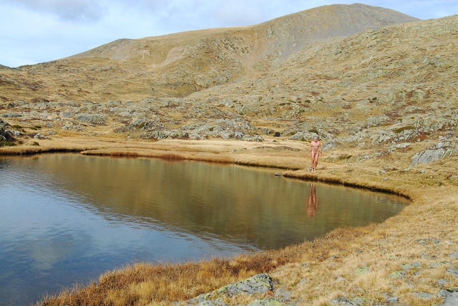
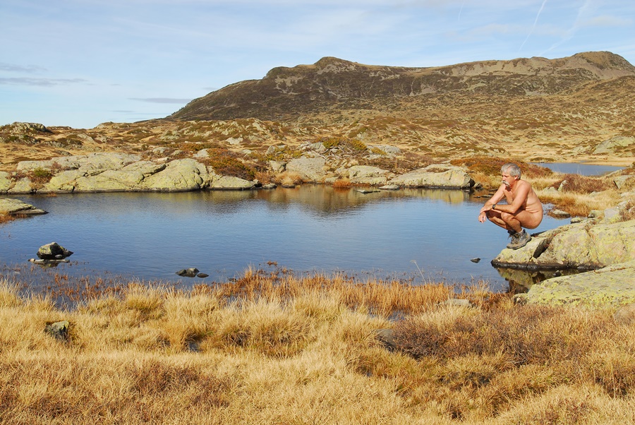
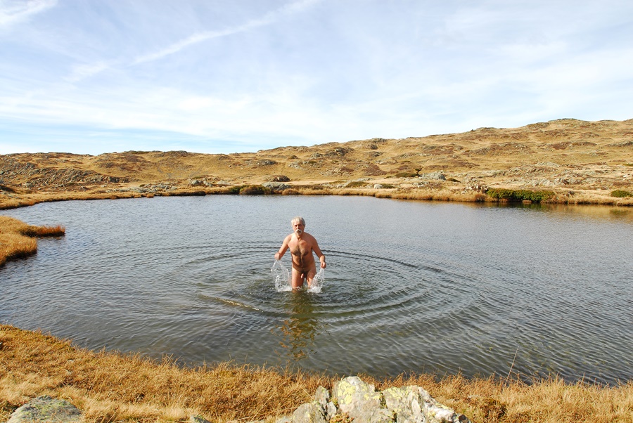
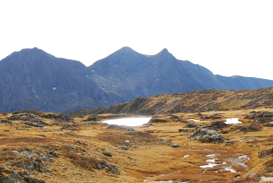
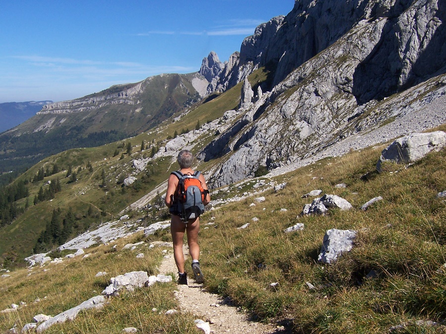
D’un parking au dessus du village d’Ornon, tout de suite nus, nous avons évité le chemin quelque peu fréquenté qui mène au lac Fourchu et nous avons attaqué la montée par un sentier en zigzag vers une bergerie puis le refuge, fermé, du Taillefer avant de continuer sur cette zone de petits lacs située entre le pied du Taillefer et le sommet du Grand Galbert, objectif avoué de certains.
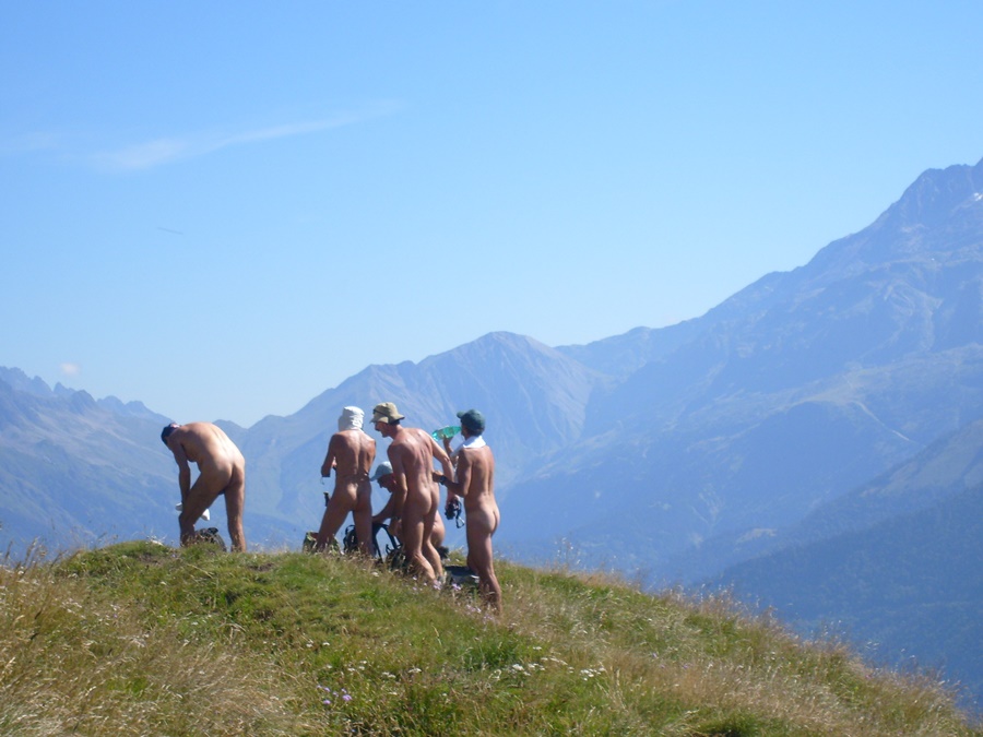
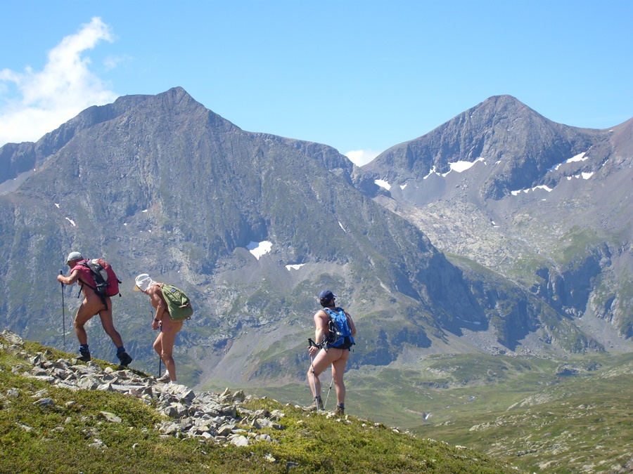
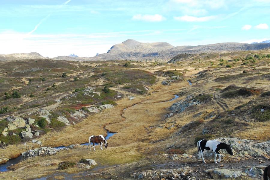
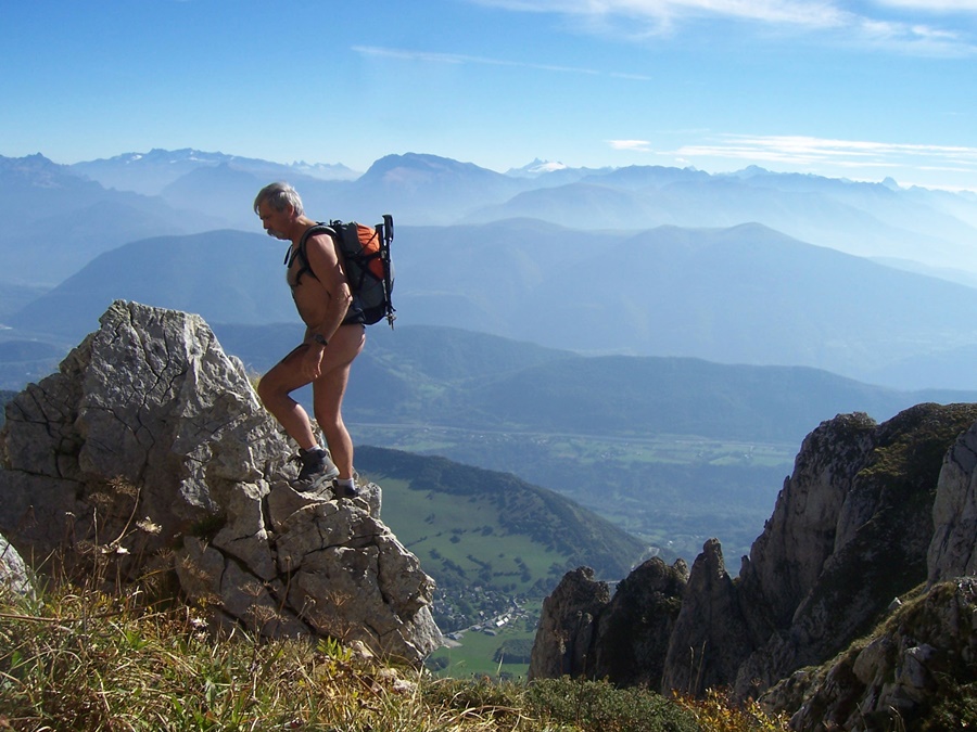
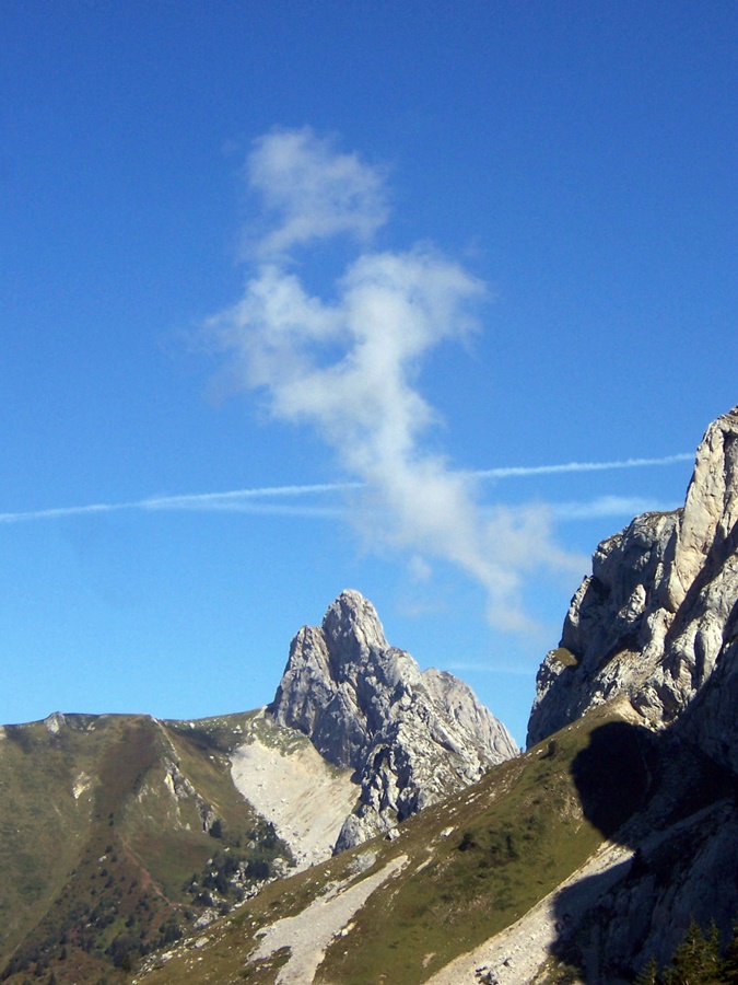
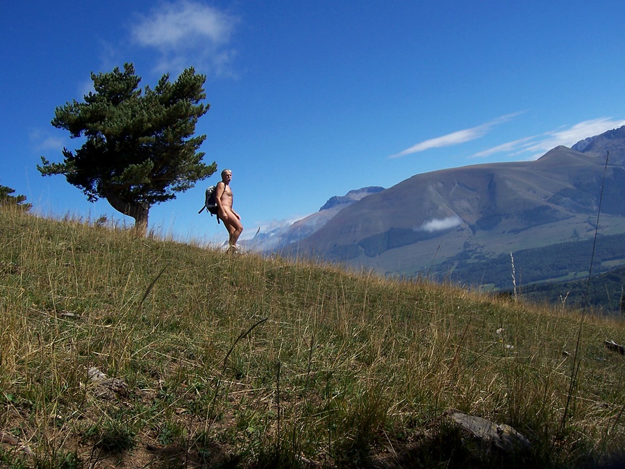
Vue panoramique tout au long du parcours depuis le massif des Rousses et l’Alpe d’Huez jusqu’à la Meije et le glacier de la Girose, le haut des Deux Alpes d’un coté, sur le col d’Ornon et le Taillefer de l’autre, et depuis le plateau un aperçu sur la station de Chamrousse à l’extrémité de Belledonne.
Dans ce petit groupe, j’avais déjà marché avec Michel à l’occasion d’une sortie dans les Bauges et croisé Franck. Mais j’ai surtout été heureux de rencontrer Doug, un néo zélandais dont je connaissais le site internet. Il est l’un des premiers à avoir mis en ligne récits et images de randonnues. Son site est parmi ceux qui m’ont motivé et servi d’exemple. Cela a été un réel plaisir de le trouver là en chair et en os! Je regrette seulement de n’avoir pas eu plus de temps disponible. J’ai quitté le groupe en vitesse et suis redescendu droit dans la pente pour rejoindre le parking et retourner au travail.
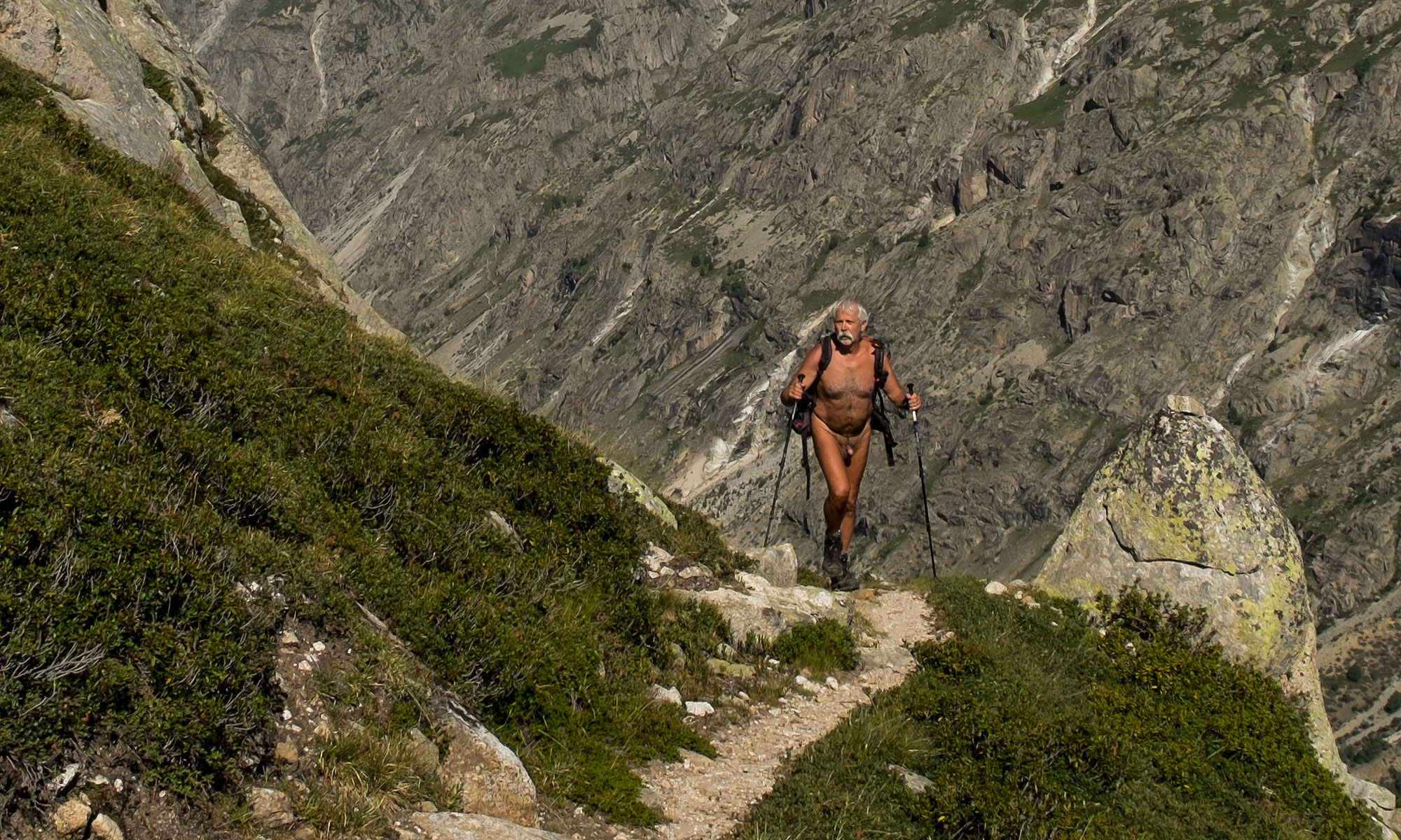
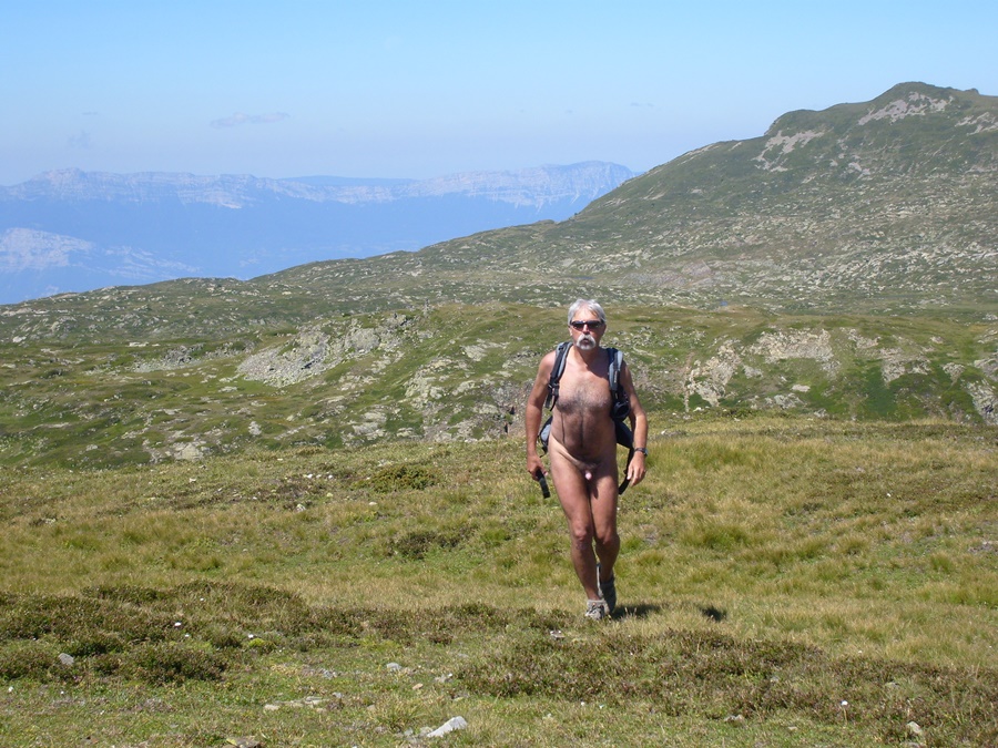
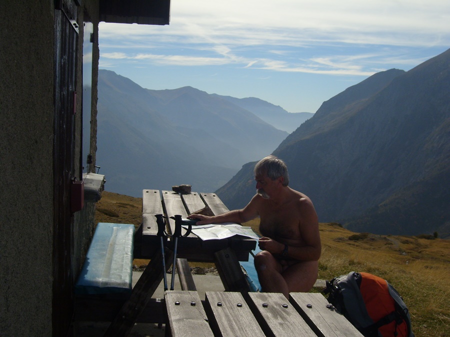
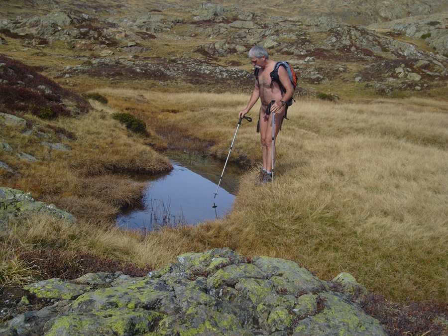
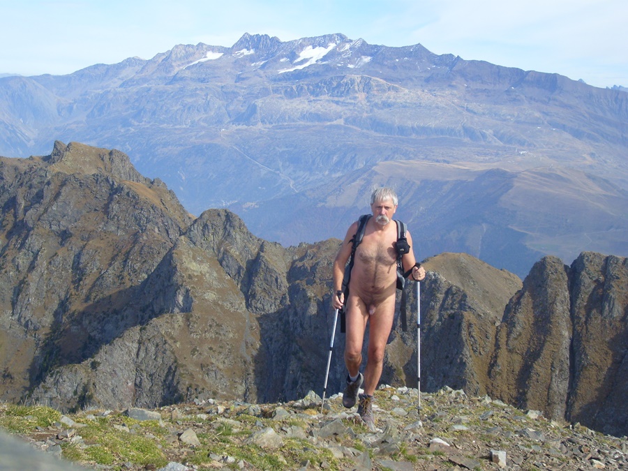
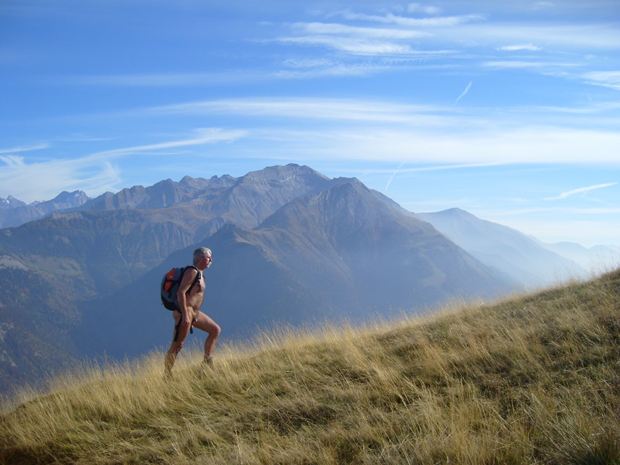
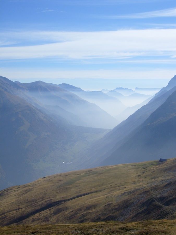
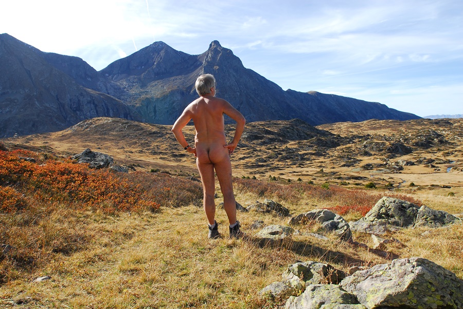
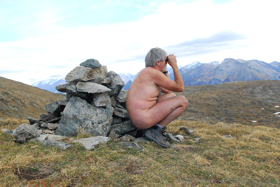
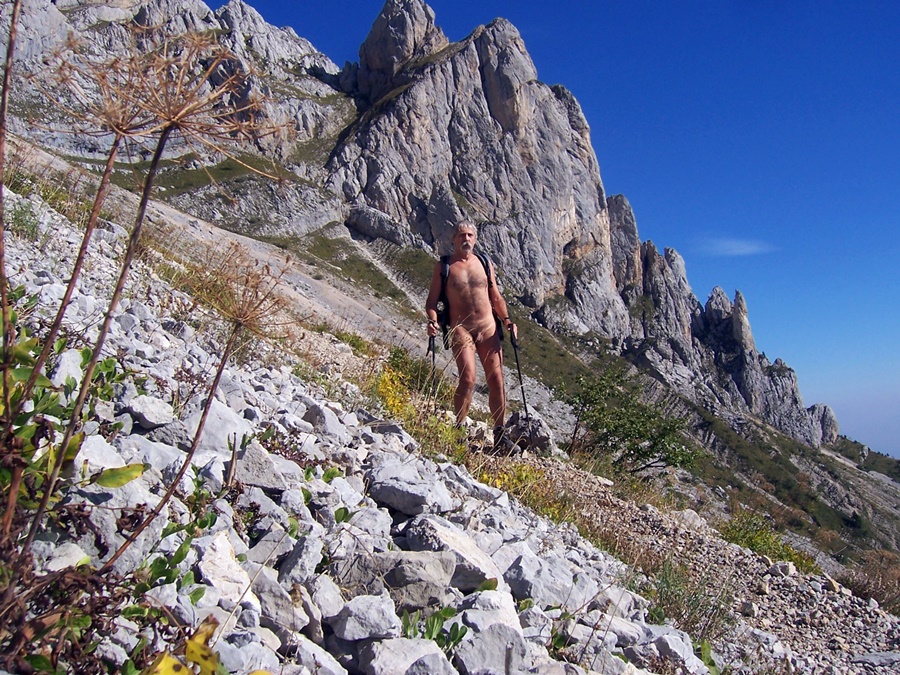
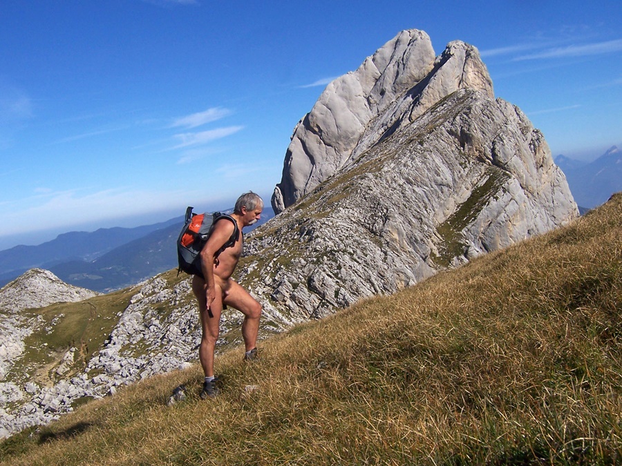
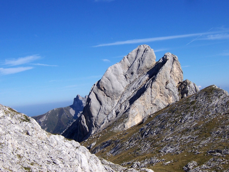
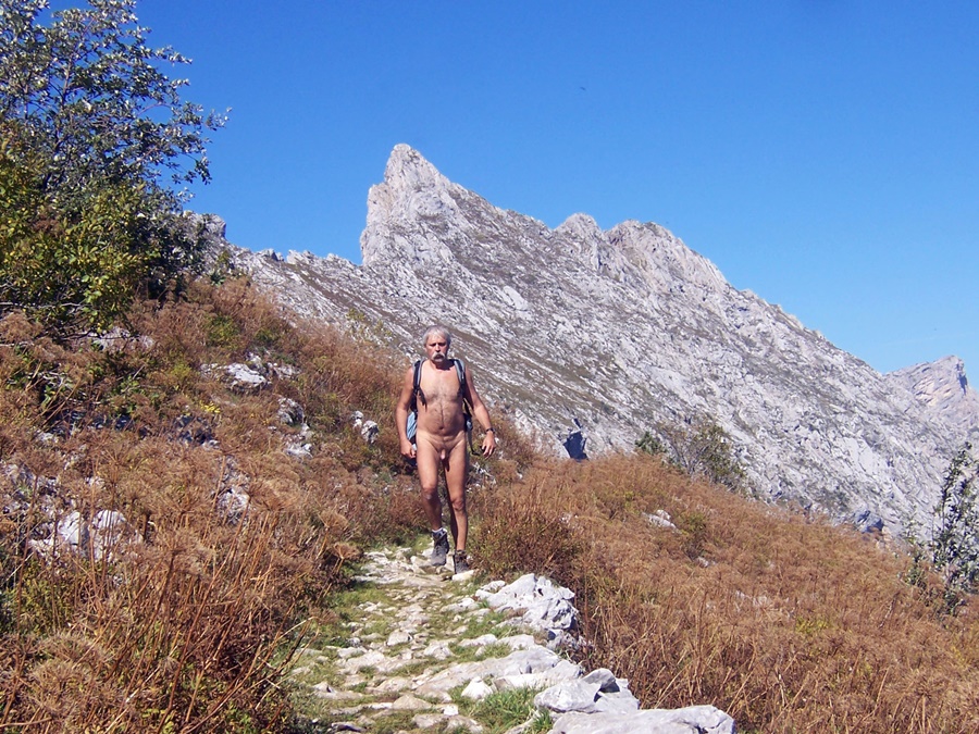
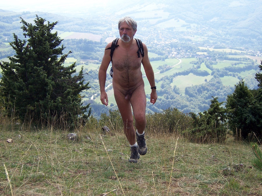
J’ai refait cette même balade au mois d’octobre, tout seul, mais dans son intégralité. En grimpant jusqu’aux sommets du Grand Galbert, marqués par trois gros cairns. En fait, c’est plutôt une grosse bosse caillouteuse. Mais de la-haut, on a une belle vue sur la vallée de Bourg d’Oisans. Pour éviter un berger et son troupeaux qui se sont engagés sur l’itinéraire que je voulais prendre, j’ai choisi de revenir en faisant un détour en suivant une vague trace dans la pente. Ce sera la seule présence humaine aperçue durant les cinq heures et quelques de la balade, faites nu du début à la fin.
During the summer, I grabbed an invitation from the yahoo rando-nu list for a hike near Bourg d’Oisans. I hadn’t warned that I was taking part and having only a few hours free before professional appointments, I had to turn back before the end of the hike. Nevertheless, I was very well received.
From a car park above the village of Ornon, immediately naked, we avoided the somewhat busy path leading to Lake Fourchu and we attacked the ascent by a zigzag path towards a sheepfold and then the closed Taillefer hut before continuing on this area of small lakes located between the foot of Taillefer and the summit of Grand Galbert, an avowed objective of some.
Panoramic view all along the route from the Rousses massif and the Alpe d’Huez to the Meije and the Girose glacier, the top of the Deux Alpes on one side, on the Col d’Ornon and the Taillefer on the other, and from the plateau a glimpse of the resort of Chamrousse at the end of Belledonne.
In this small group, I had already walked with Michel during an outing in the Bauges and crossed Franck. But I was especially happy to meet Doug, a New Zealander whose website I already knew. He is one of the first to have put online stories and pictures of naked hikes. His site is among those that motivated me and served as an example. It was a real pleasure to find him there in the flesh! I only regret not having had more time available. I left the group in a hurry and went straight down the slope to the parking lot and back to work.
I did the same walk again in October, alone, but in its totality. Climbing to the top of the Grand Galbert, marked by three big cairns. In fact, it’s more like a big rocky bump. But from up there, we have a beautiful view of the valley of Bourg d’Oisans. To avoid a shepherd and his flock who took the route I wanted to take, I chose to come back by making a detour following a vague trace in the slope. This will be the only human presence seen during the five hours or so of the walk, made naked from start to finish.
