Séjour dans le Dévoluy

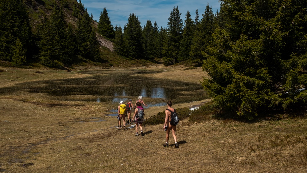
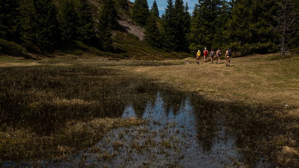
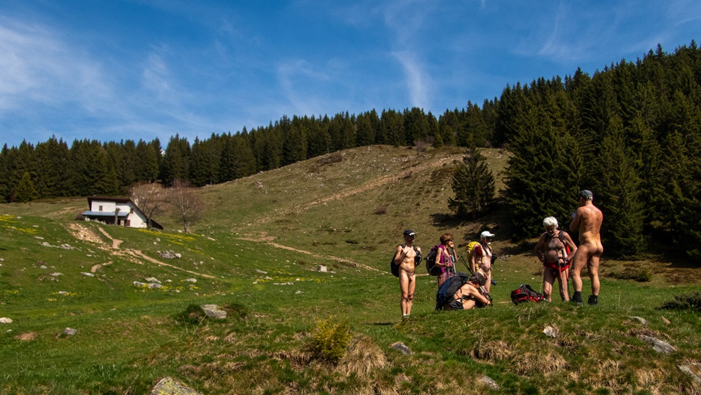
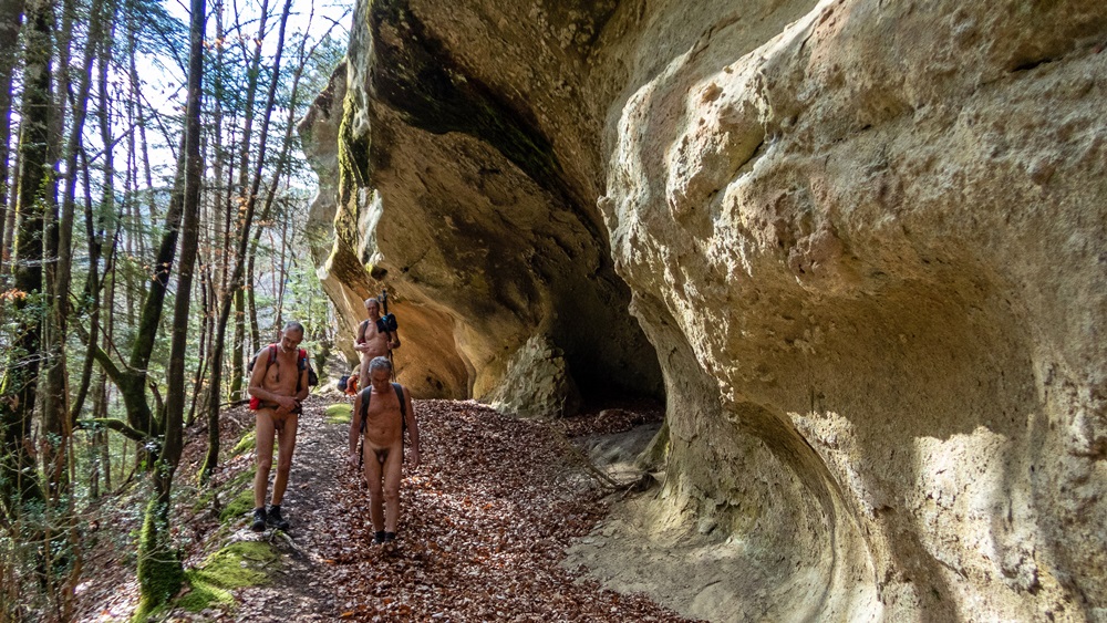
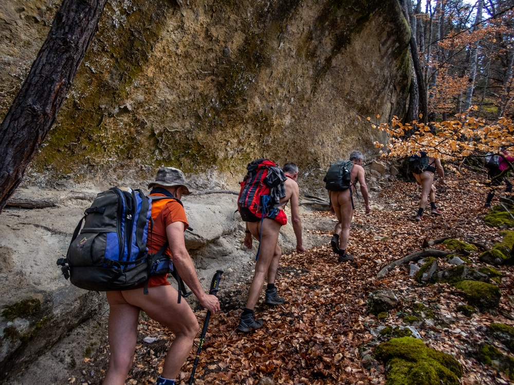
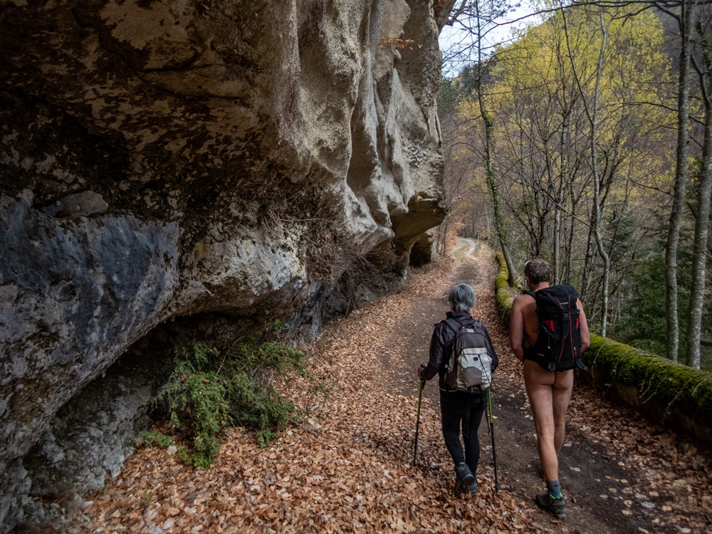
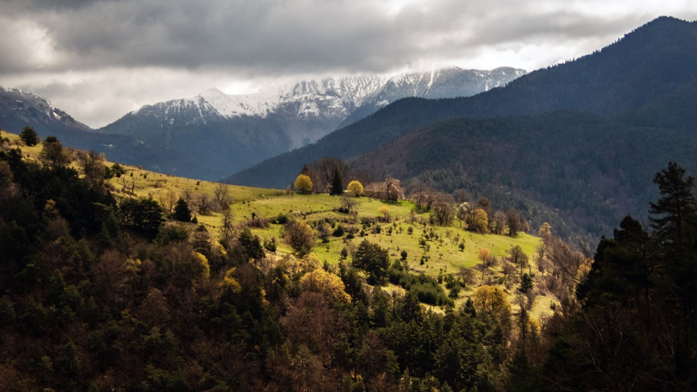
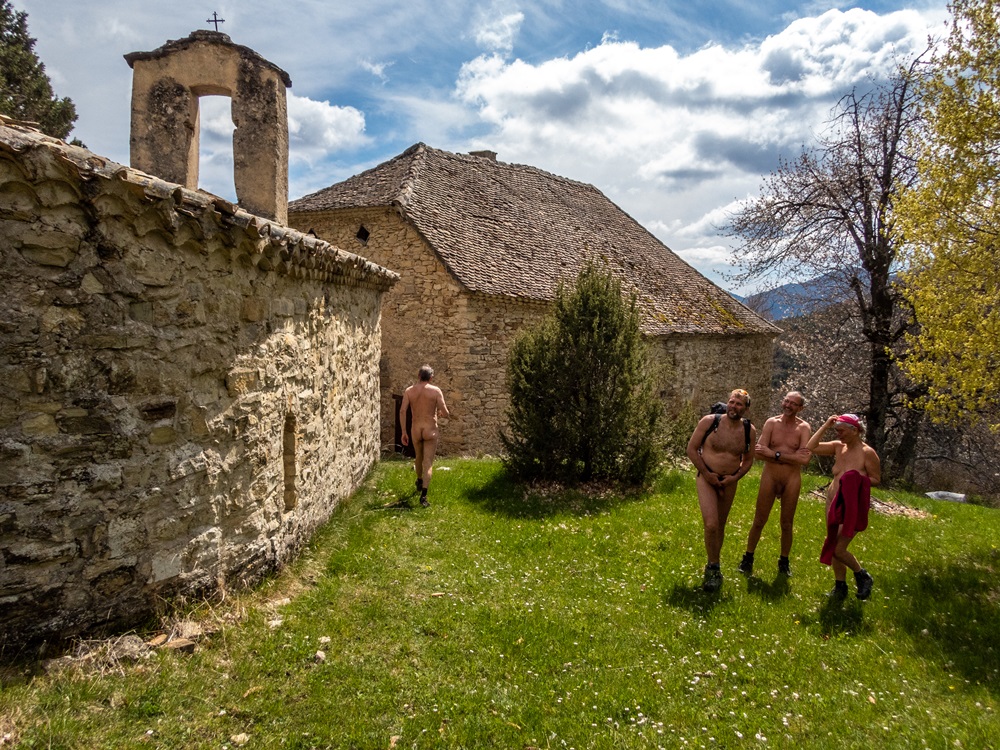
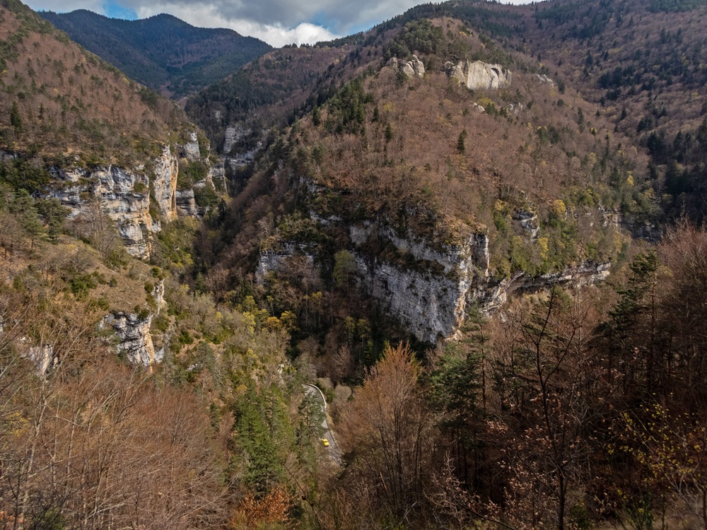
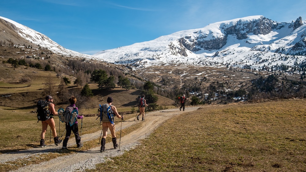
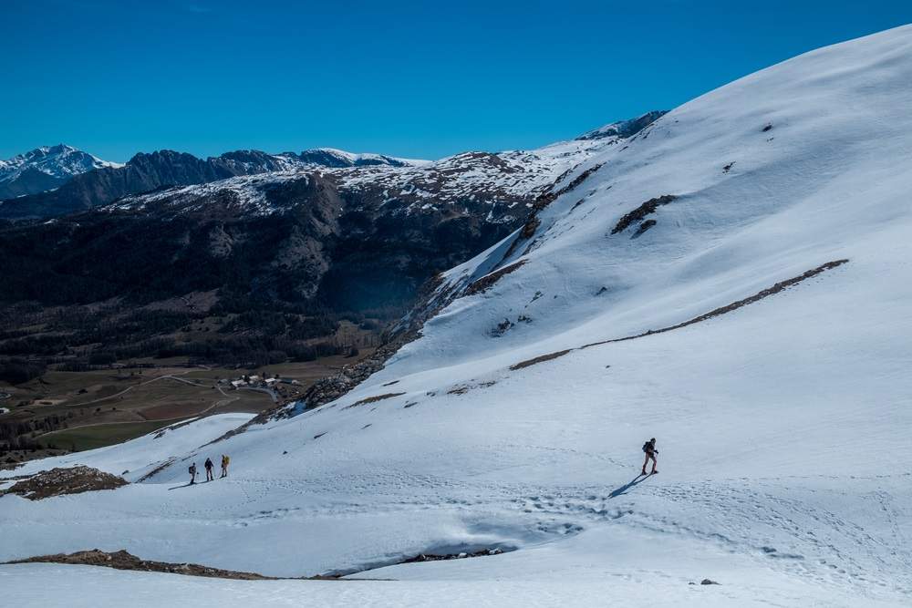
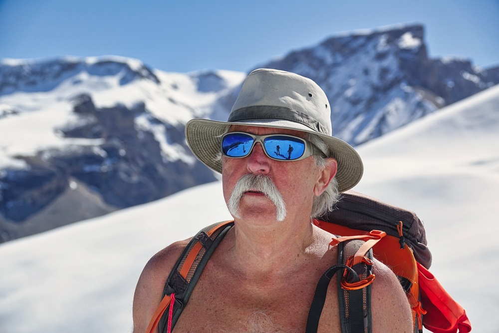
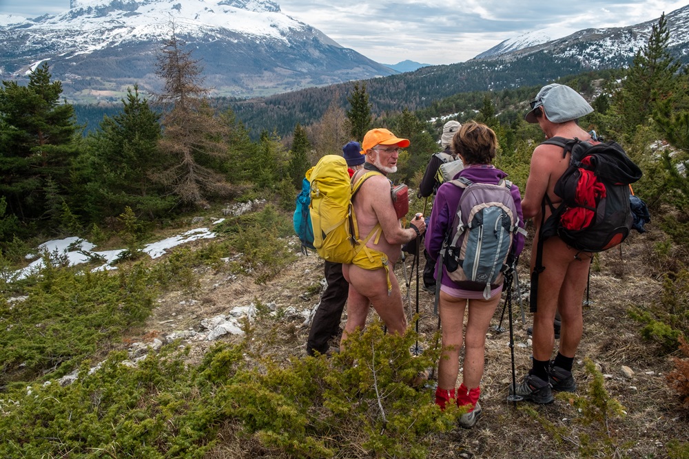
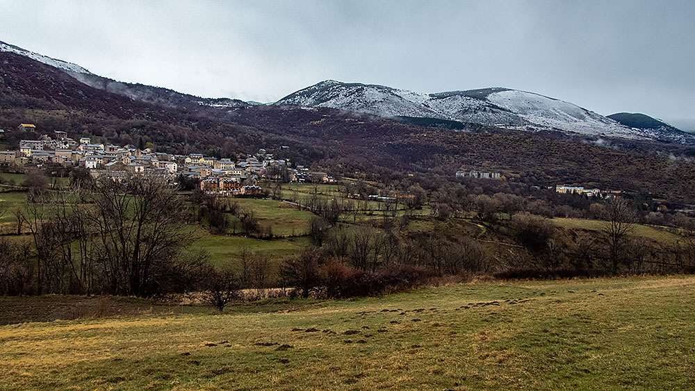
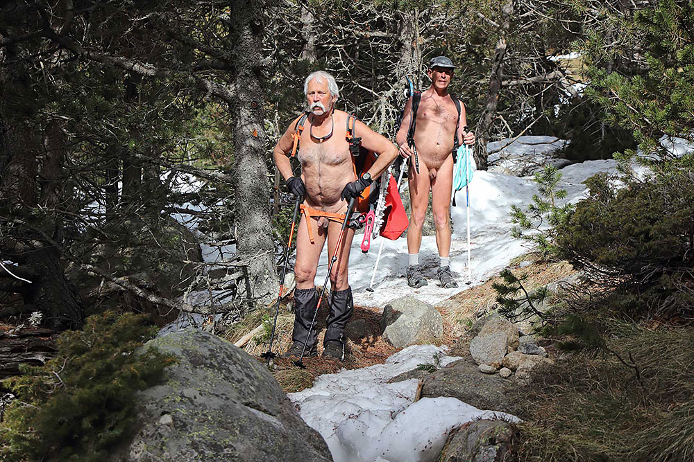
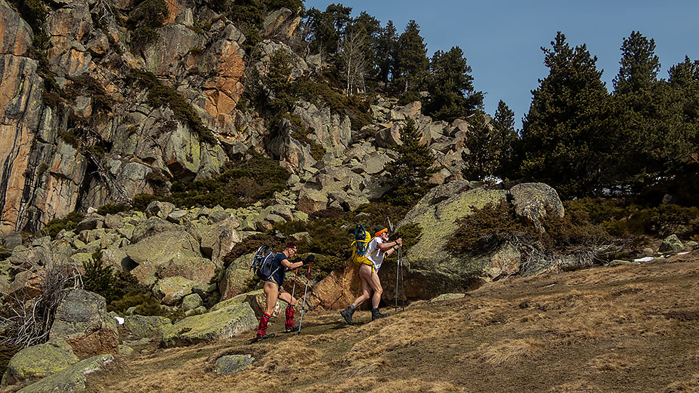
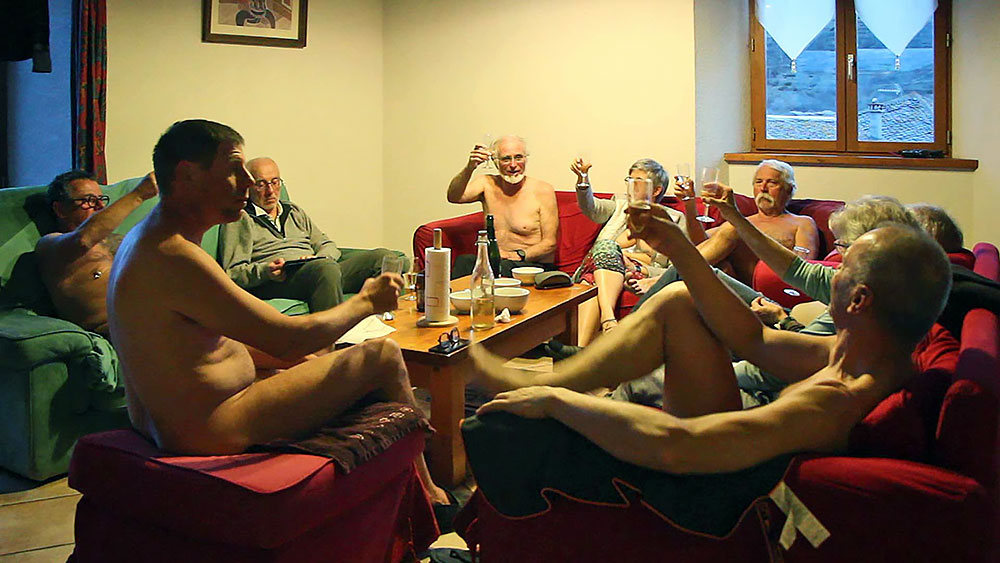
Nouveau séjour organisé par Bruno et l’association RSVN ; la destination en est ce printemps le massif du Dévoluy avec comme base de vie un gîte dans le hameau du Collet au dessus de Saint Étienne en Dévoluy. Les prévisions météo sont plutôt pessimistes pour la semaine et annoncent de la pluie ; il faudra faire avec !

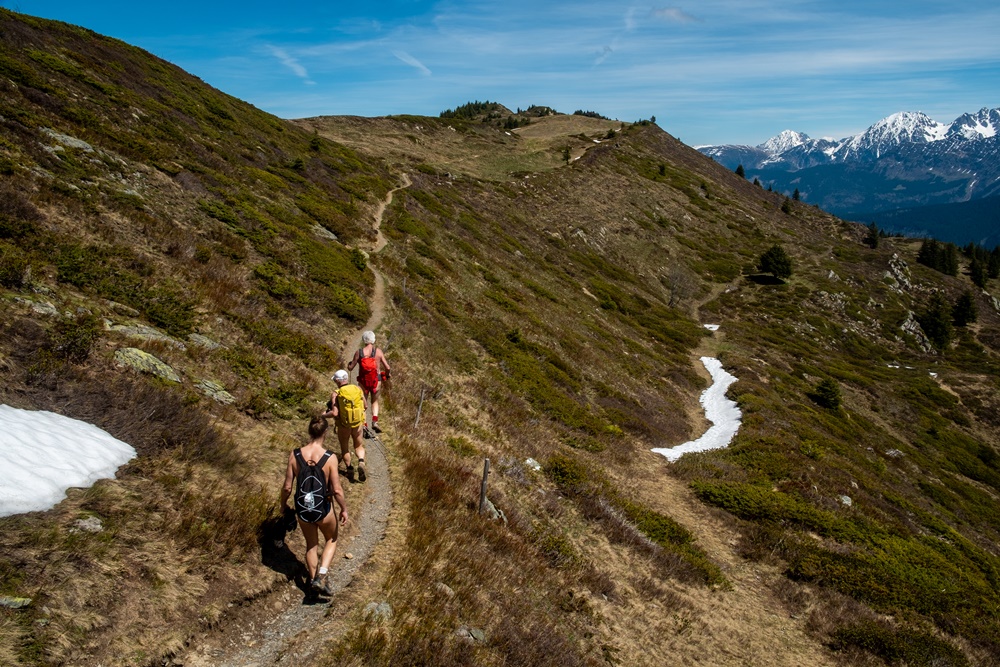
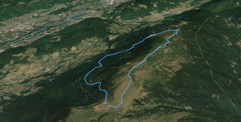
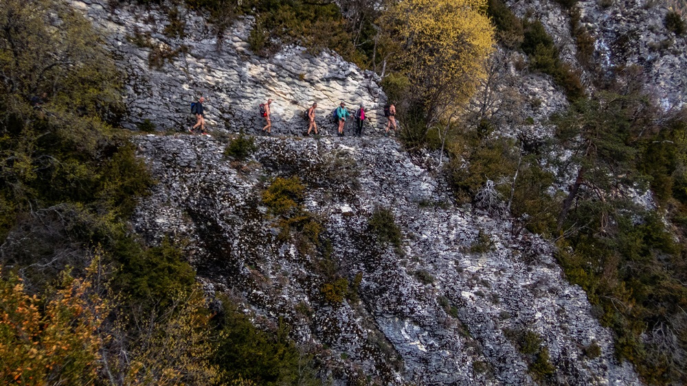
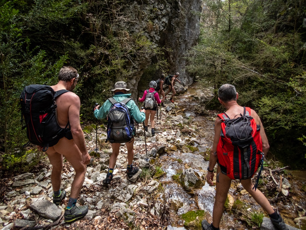
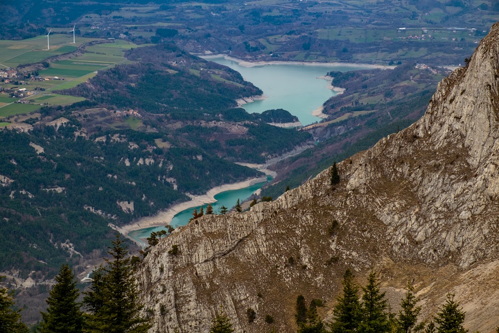
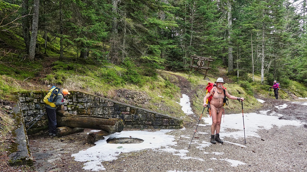
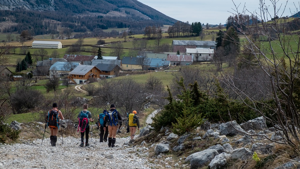
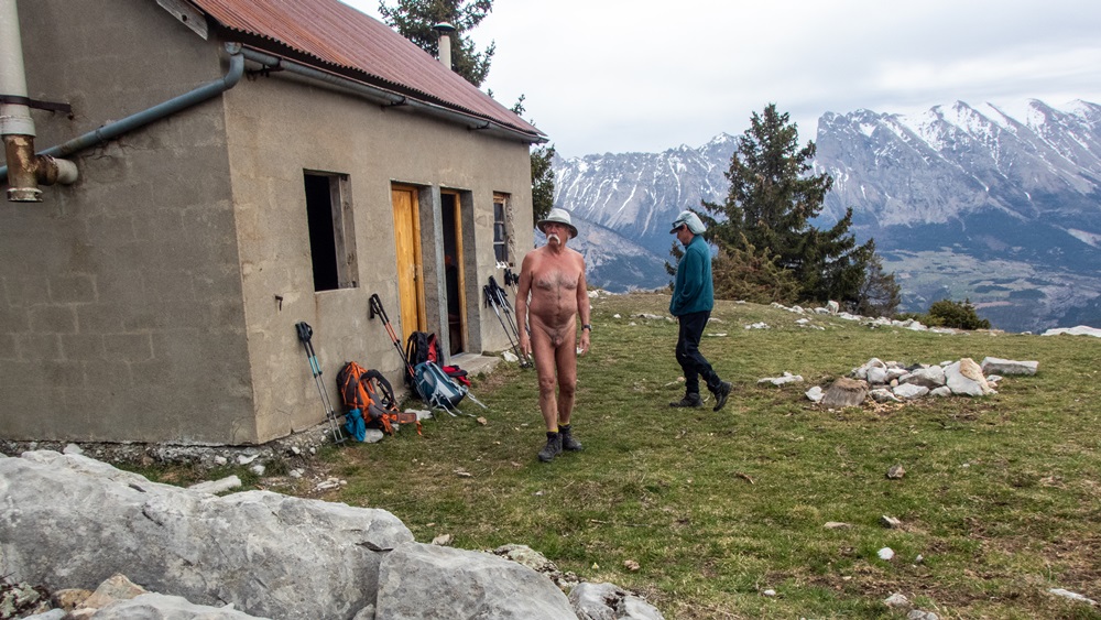
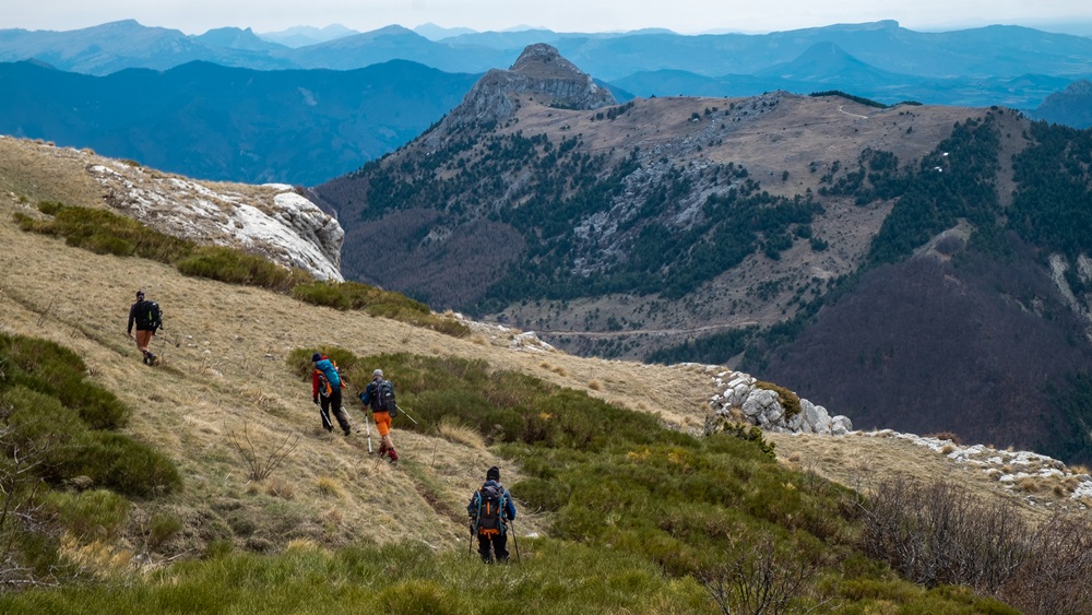
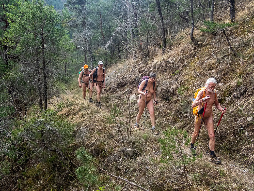
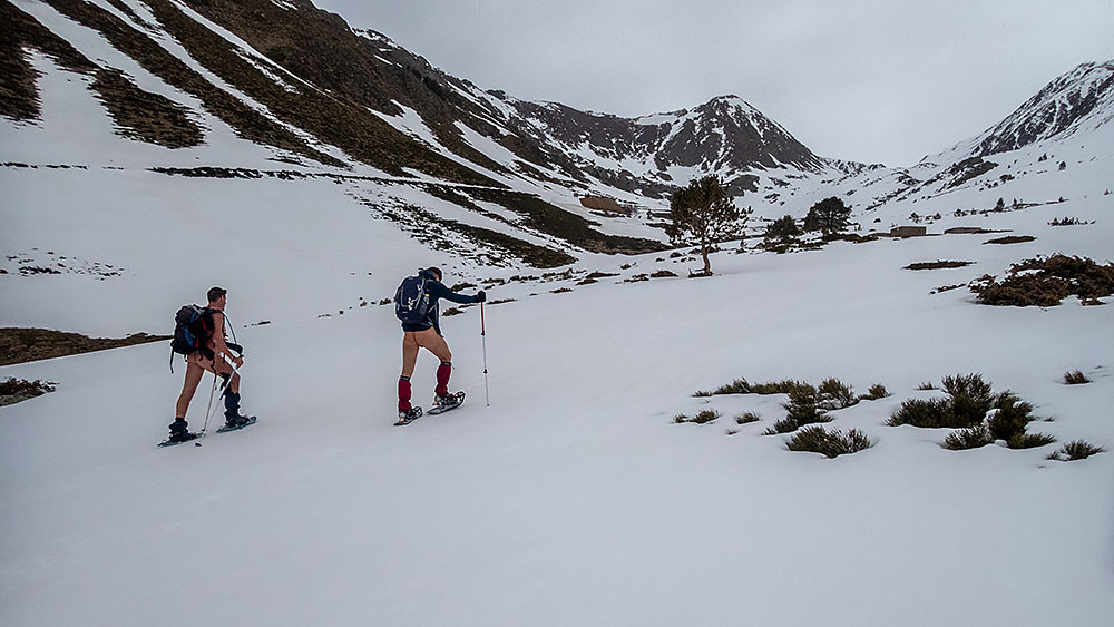
Première balade le dimanche en partant directement à pied du gîte. Une légère bruine ne nous décourage pas, qui cesse rapidement et laisse un ciel chargé et gris. Un kilomètre de route sur laquelle nous restons bien couverts jusqu’à dépasser une grosse bergerie gardée par des patous qui s’approchent en aboyant mais laissent le passage. Une descente sur une piste de terre mène au départ du sentier. Déshabillage. Le chemin monte le long d’un vallon jusqu’à atteindre la cabane de l’Aup puis le col de l’Aup où un vent froid nous attend, avec une vue un peu terne sur le lac du Sautet au loin. Retour à la cabane pour le pique nique avant d’entamer la descente.

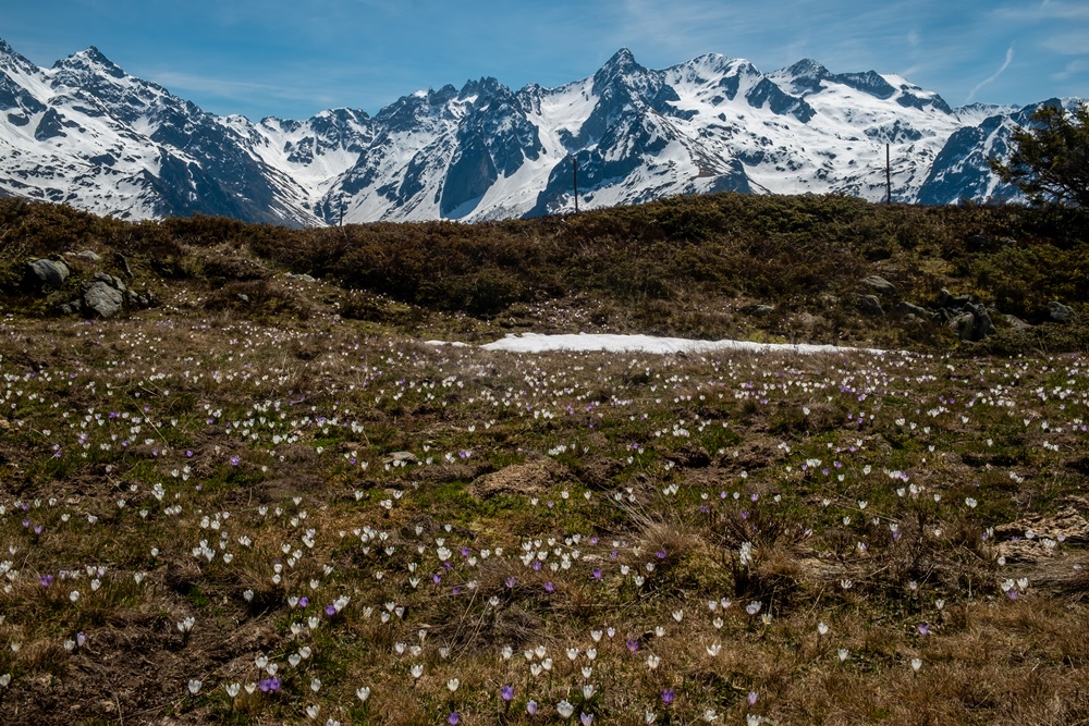
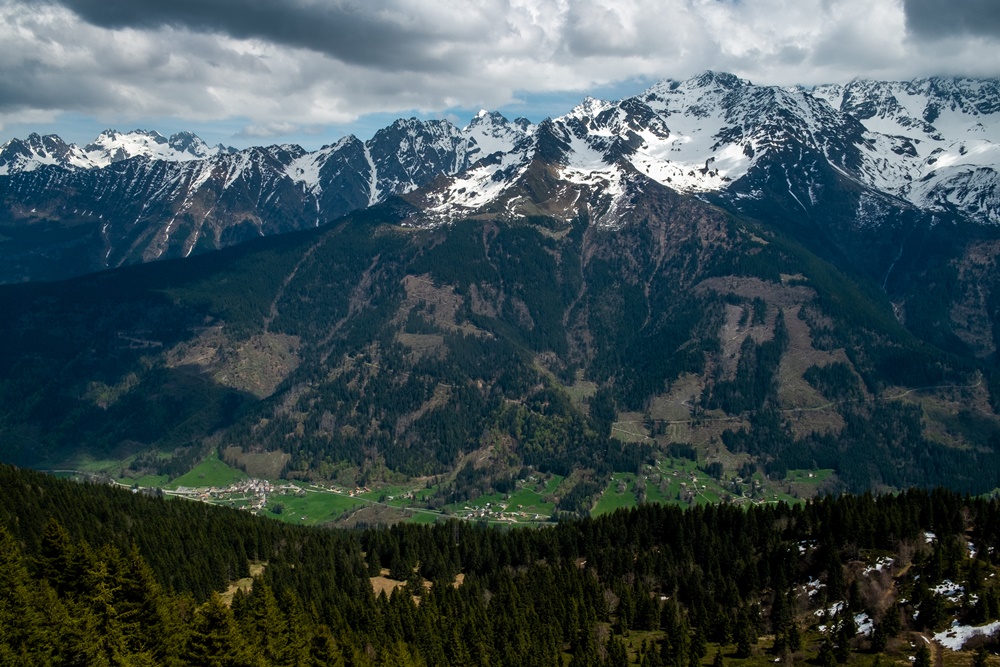
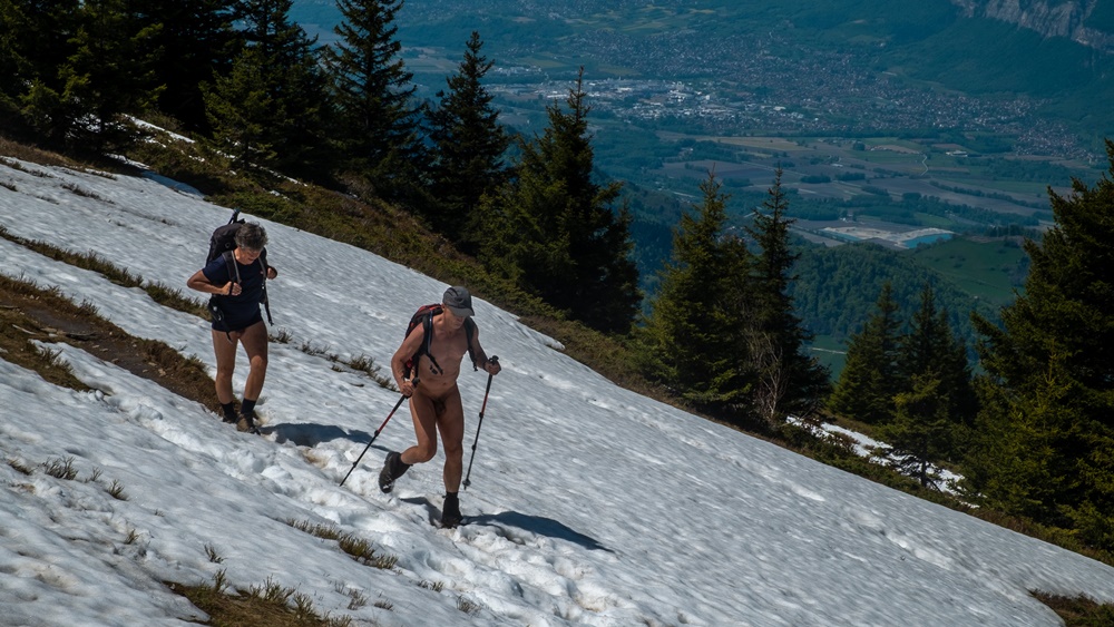
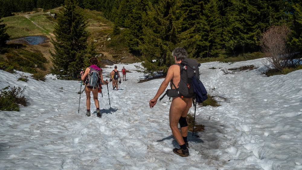
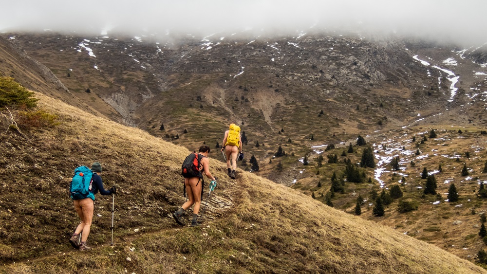
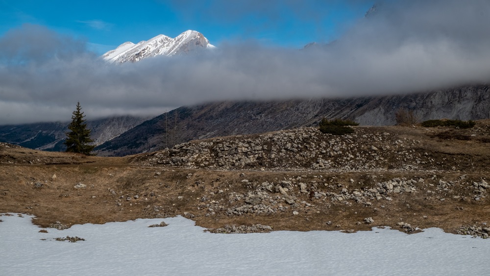
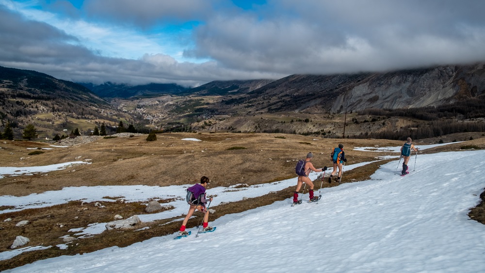
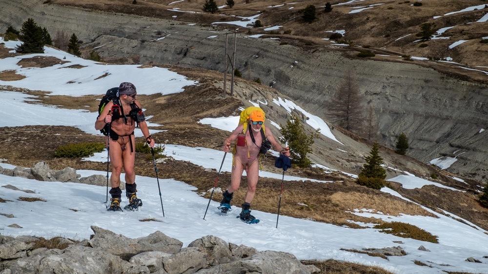
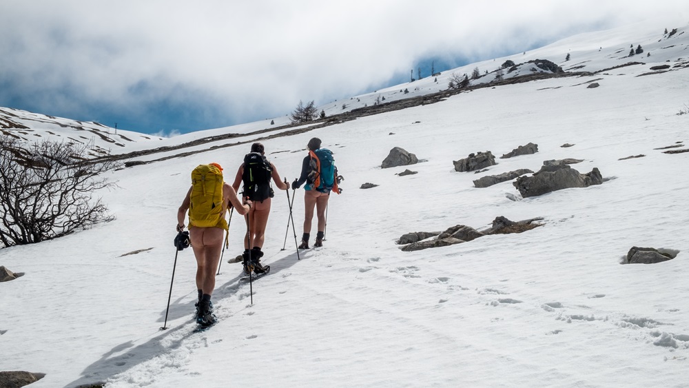
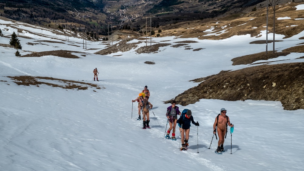
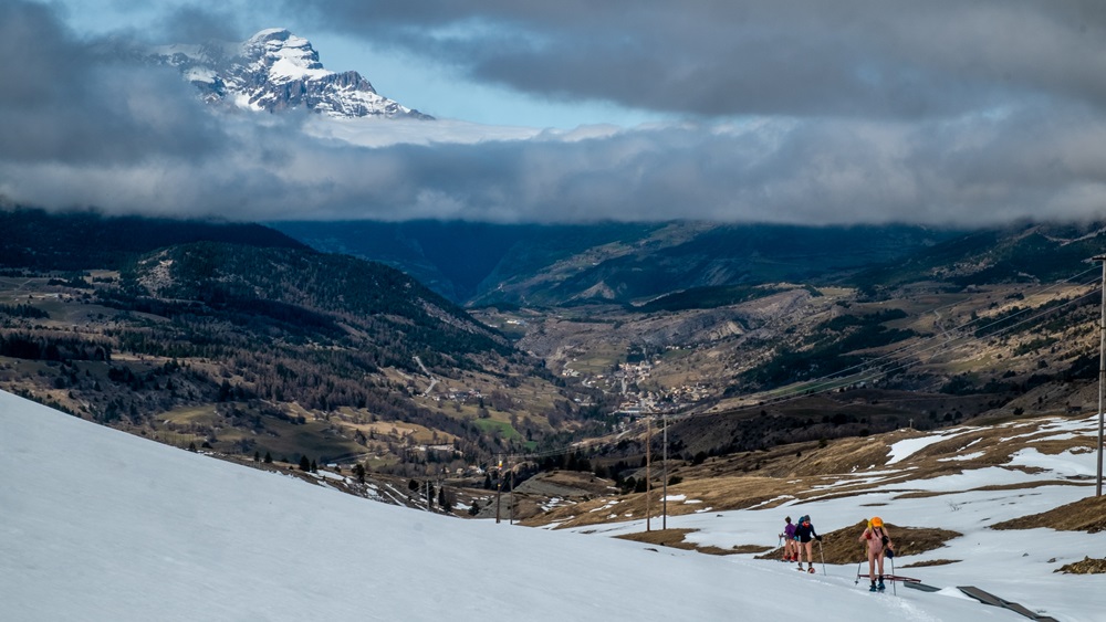
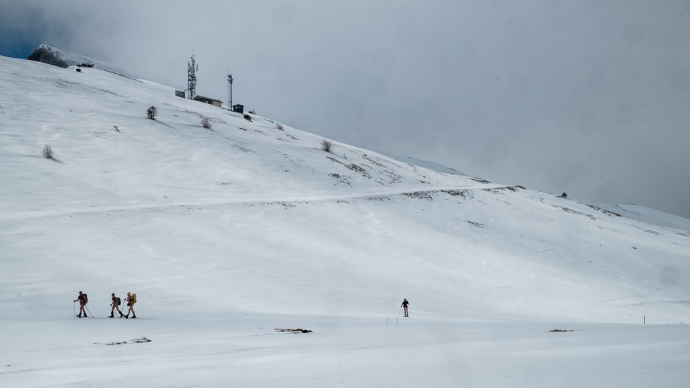
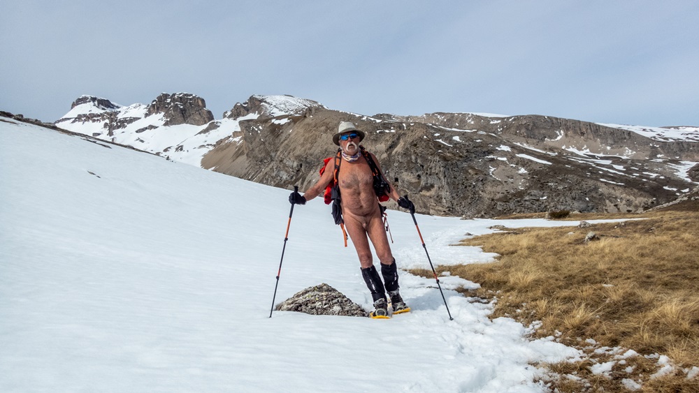
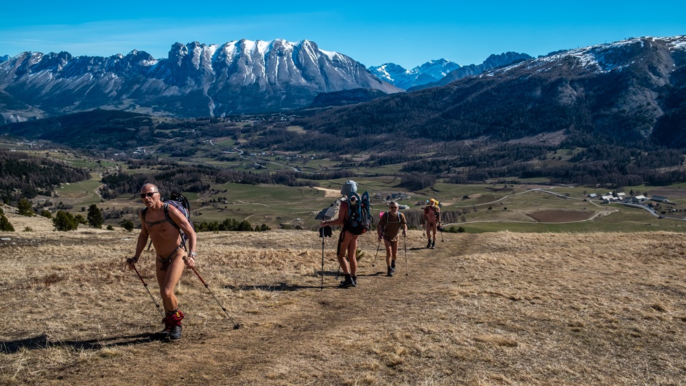
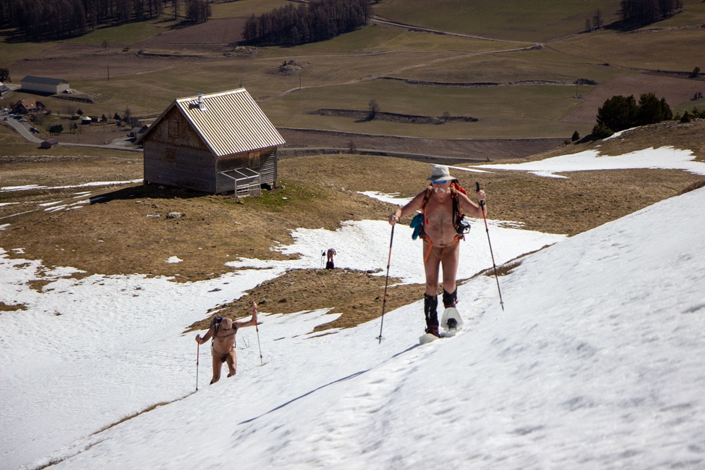
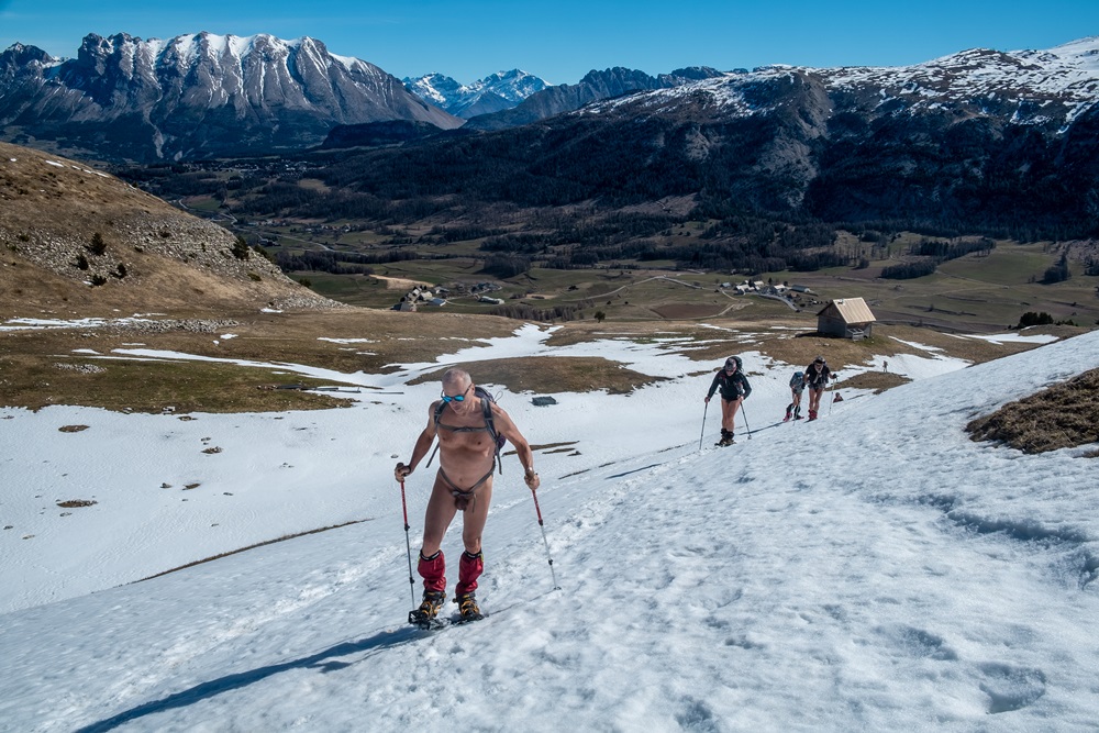
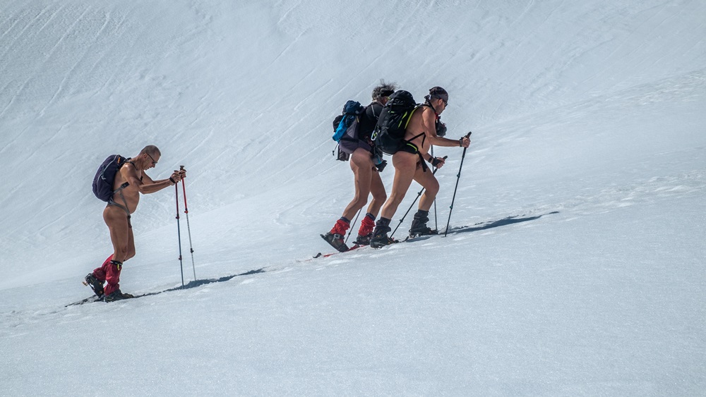
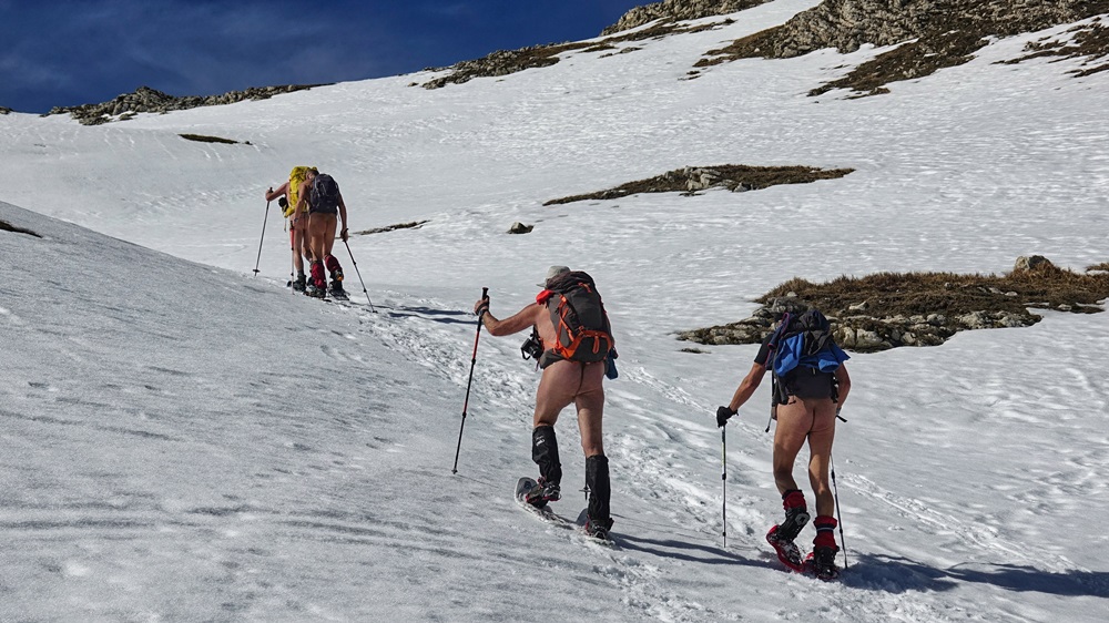
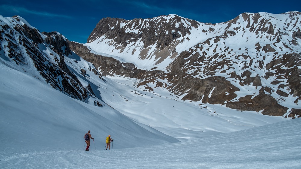
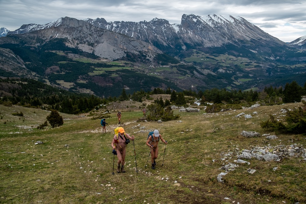
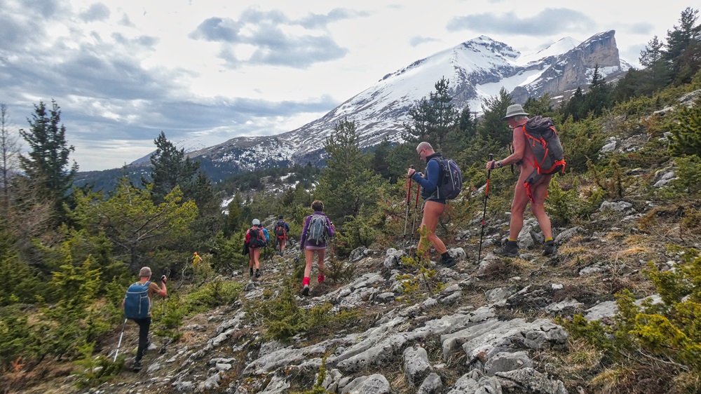
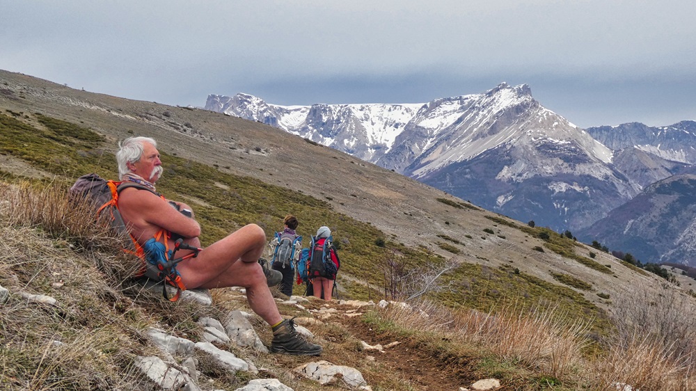
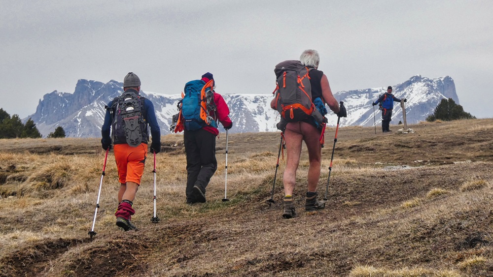
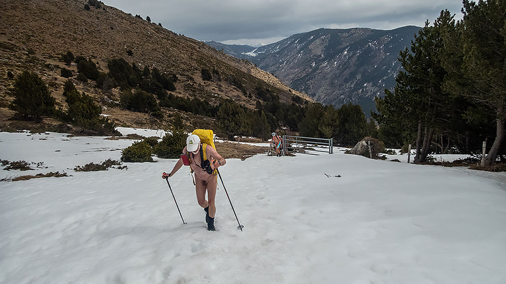
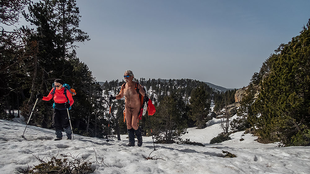
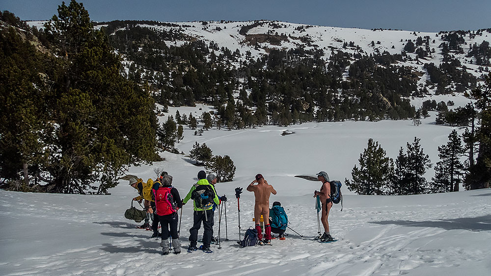
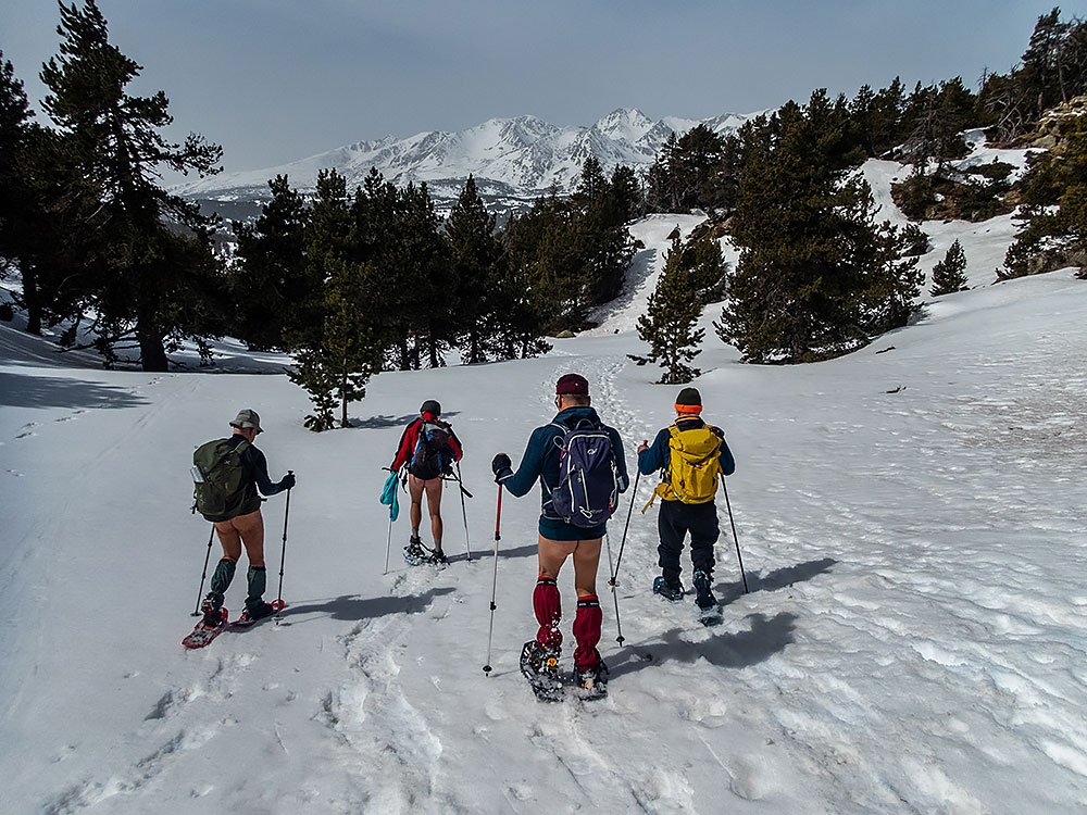
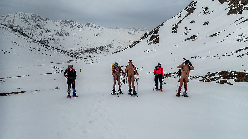
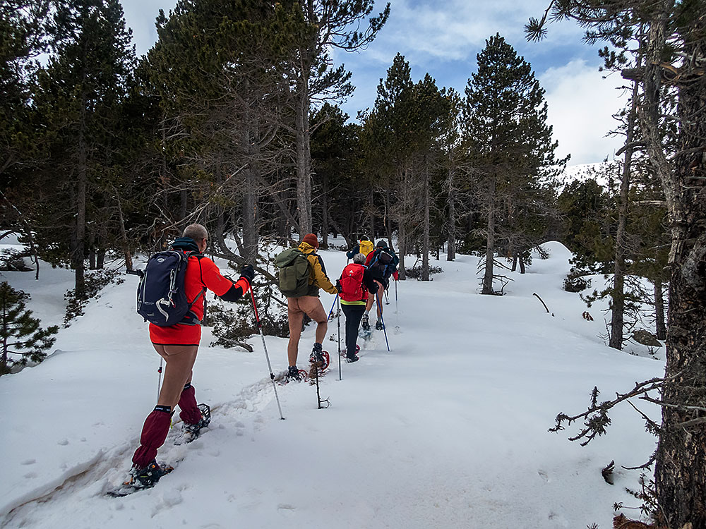
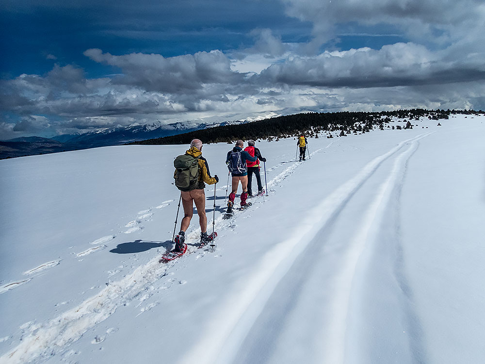
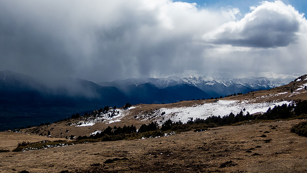
Lundi. Départ d’un petit pont sur la Souloise. Piste en forêt avec les premières plaques de neige. Puis la neige se faisant plus présente, on chausse les raquettes. On sort de la forêt. Le paysage s’ouvre, les nuages se déchirent et laissent entrevoir les sommets environnants. On monte en file indienne jusqu’à notre but du jour : le col de Rabou. Là aussi le vent nous surprend, un brouillard aussi. Il nous faut vite trouver un coin abrité pour le repas. La descente par l’autre côté du vallon sur une large piste dégagée et sous un soleil revenu et même chaud nous ramène par quelques détours à notre point de départ, avec une vue panoramique sur la montagne d’Aurouze et son plateau de Bure juste en face de nous, et la barrière qui s’étend de l’Obiou au Ferrand et à la Tête de Lauzon sur le côté.

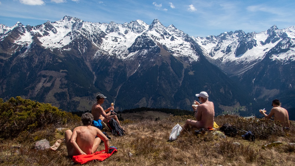
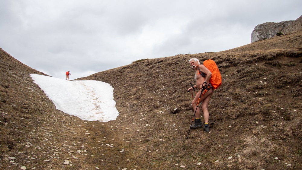
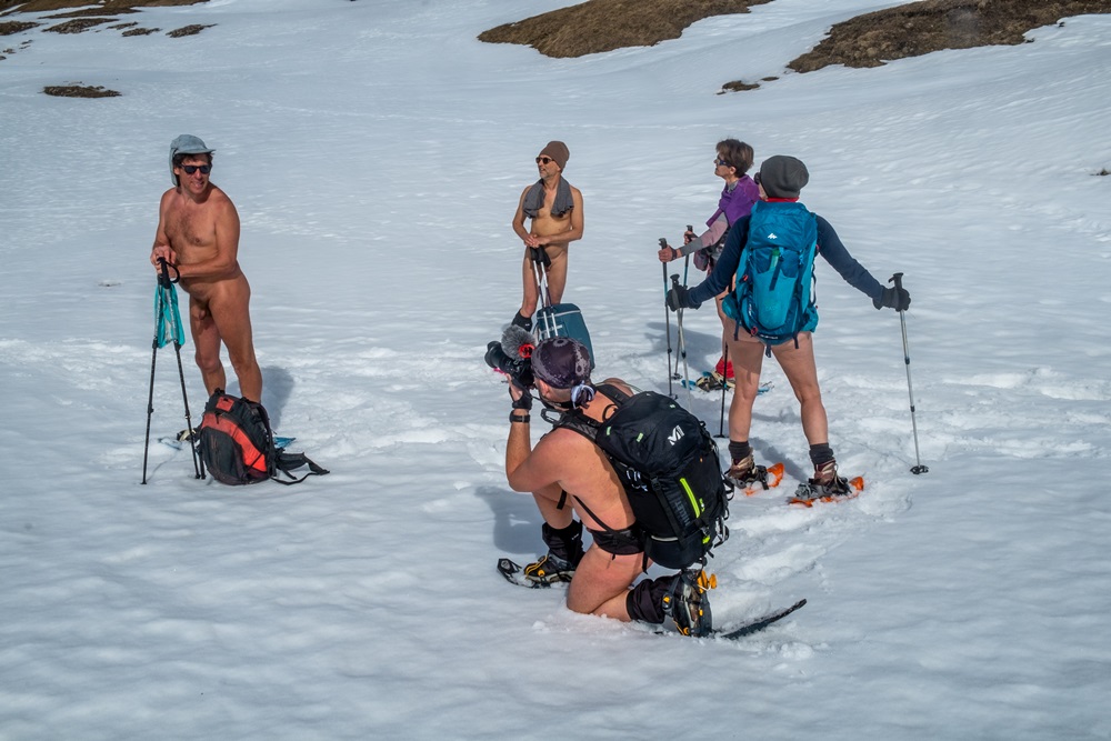
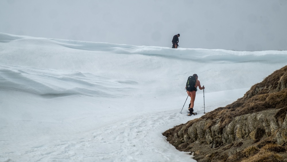
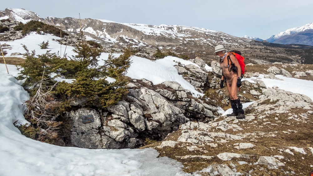
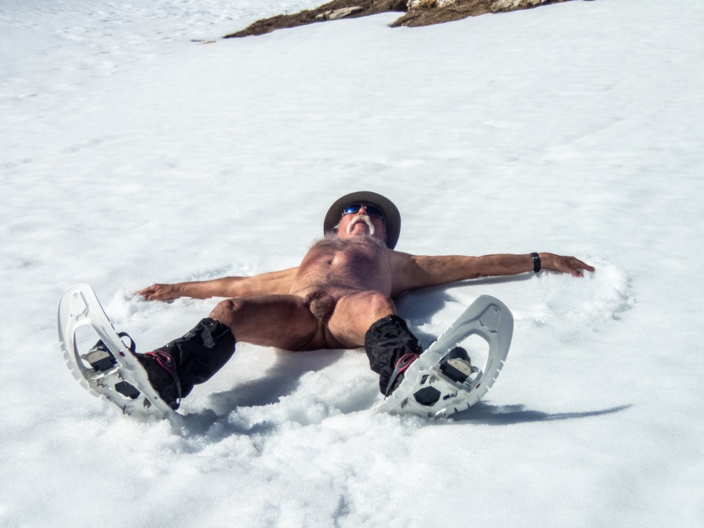
Mardi l’objectif était le col du Charnier en partant du hameau de la Chaud. Au niveau du chourum Clot, on chausse les raquettes (un chourum est le terme signifiant gouffre dans le Dévoluy). Mais arrivé sur un petit plateau tranquille et devant la difficulté envisagée d’une descente en dévers suivi d’une section encore longue à boucler avant d’atteindre le col, le groupe décide de stopper là, de manger et même de faire la sieste !

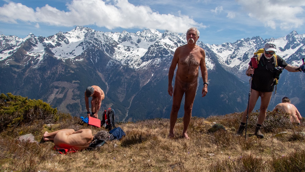
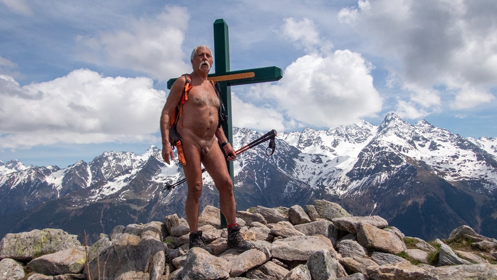
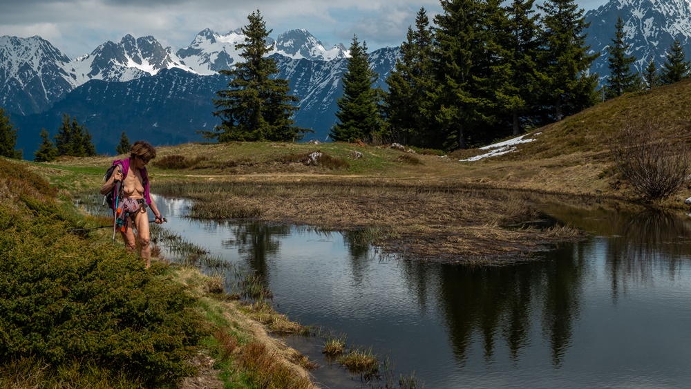
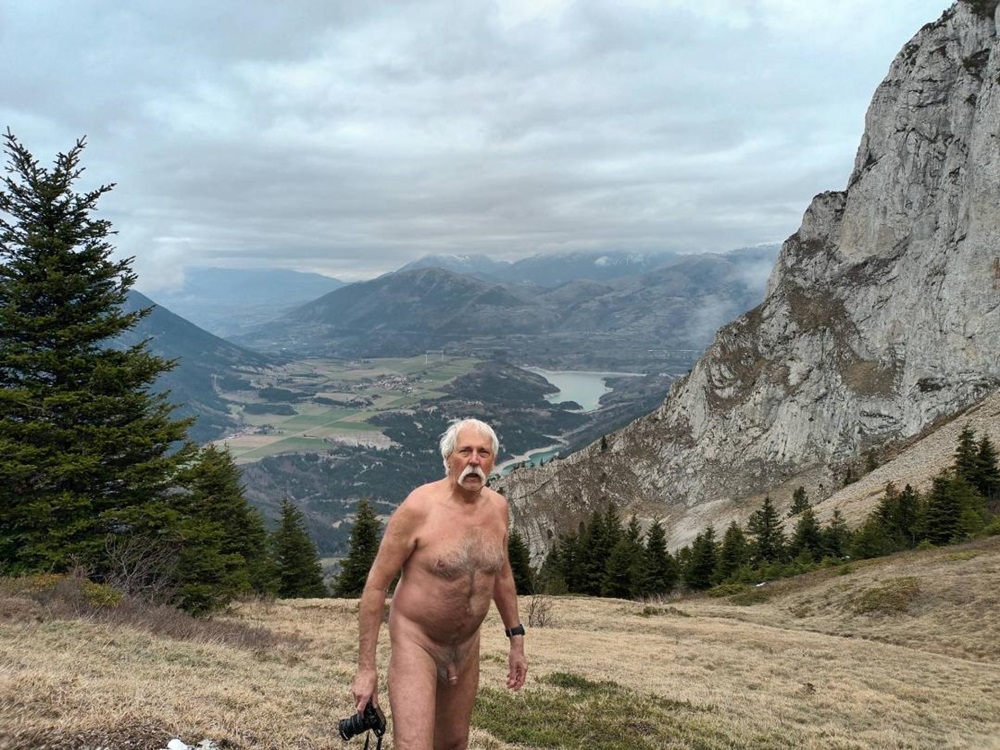
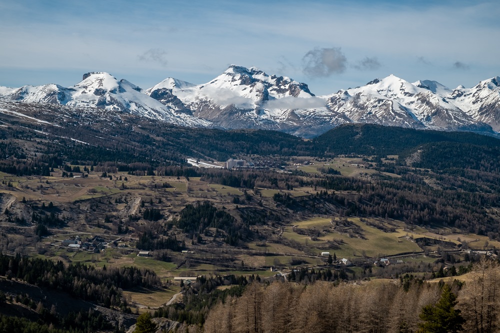
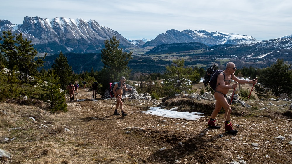
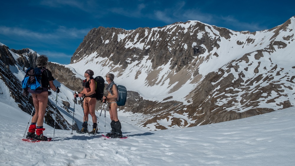
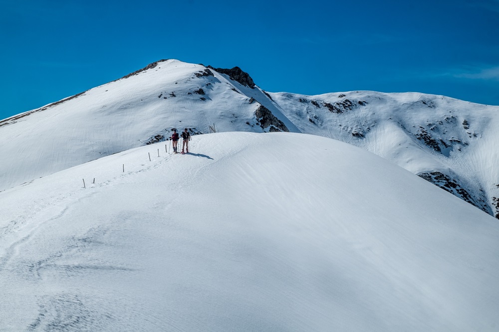
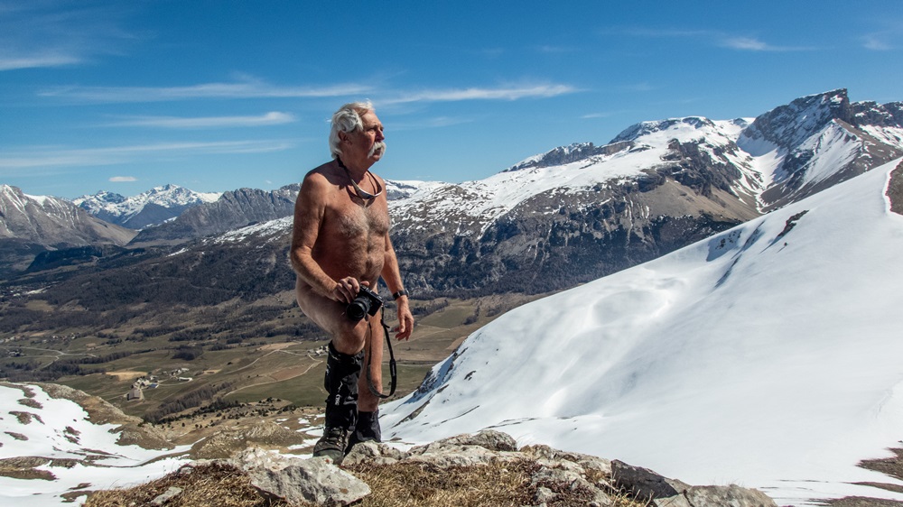
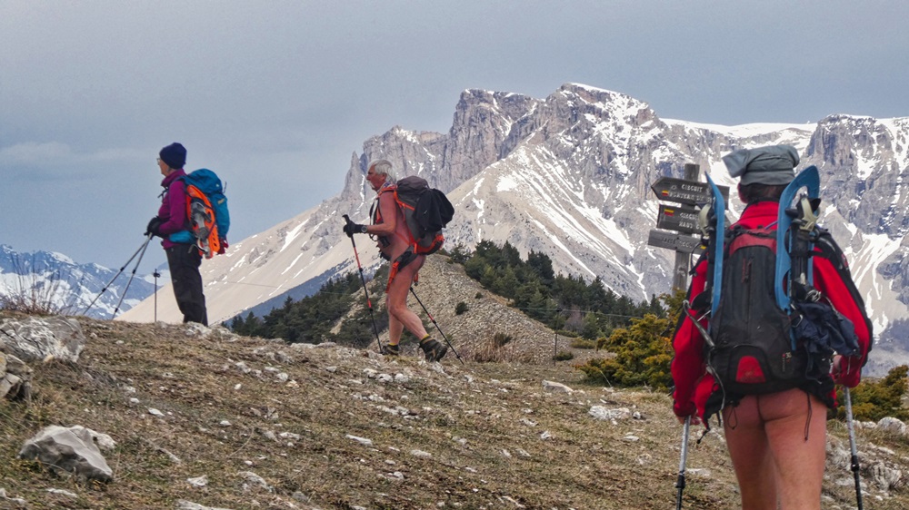
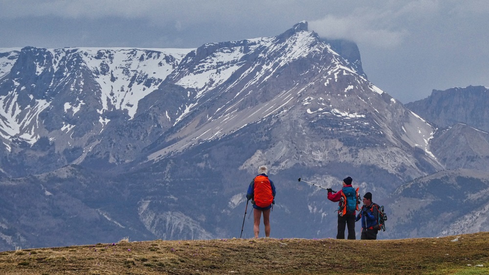
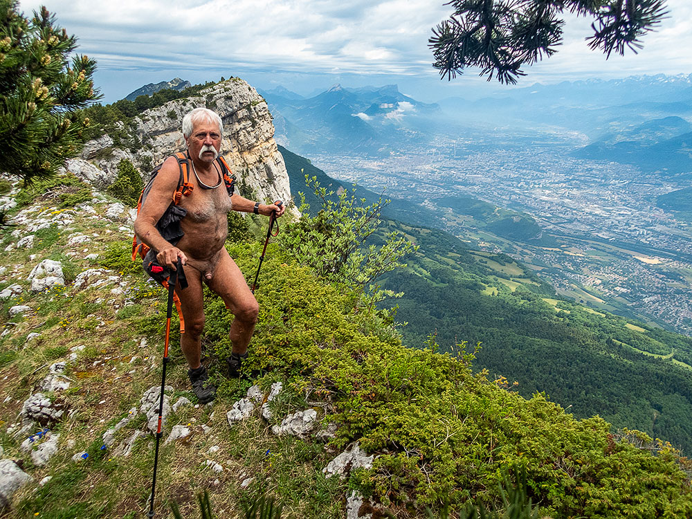
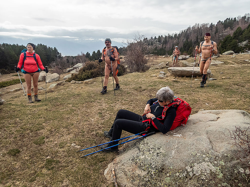
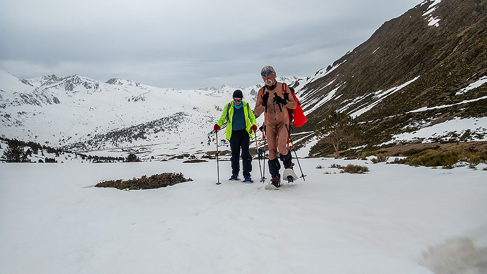
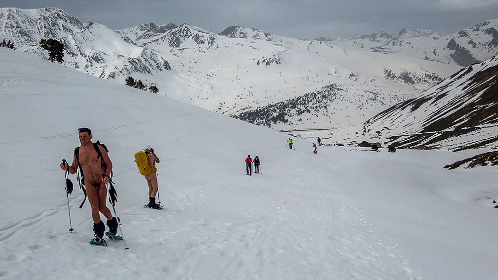
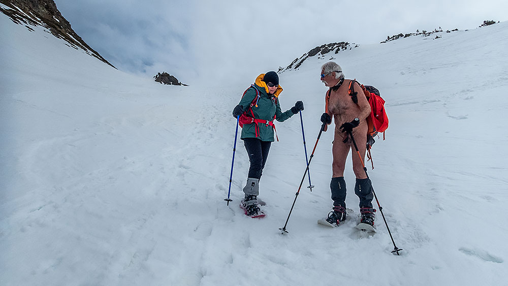
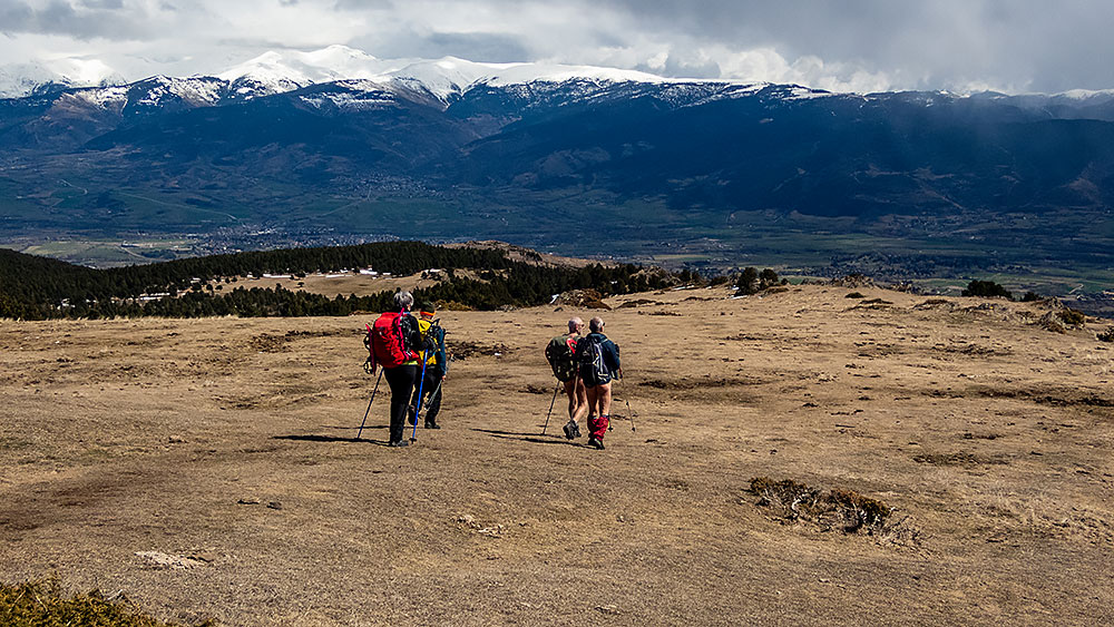
Mercredi, départ du col du Festre. On atteint une cabane à la limite de la neige. Trois randonneurs nous précèdent. On doublera le dernier dans un raidillon qui mène au Collet. C’est l’itinéraire d’hiver qui évite un cheminement trop en dévers par le GR. Au Collet, Bruno, Franck, Stéphane, Guillaume et Patrick puis Yannick entament la descente et l’aller-retour vers le vallon des Aiguilles. Je préfère avec Yves, Chantal et Jean Paul, puis Patricia et Dominique rester aux alentours, en montant sur la Tête du Jas des Arres puis la Tête de Merlant, deux petits sommets qui permettent une vision à 360° du panorama idéale pour la photographie.

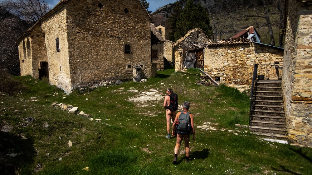
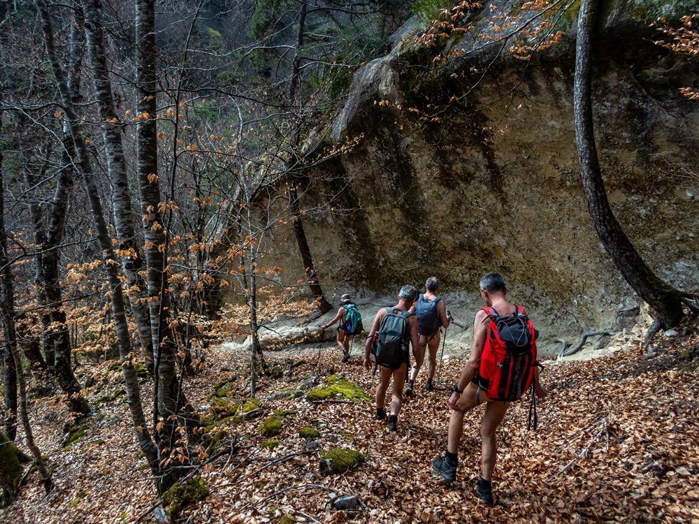
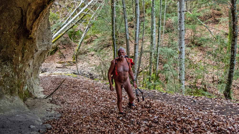
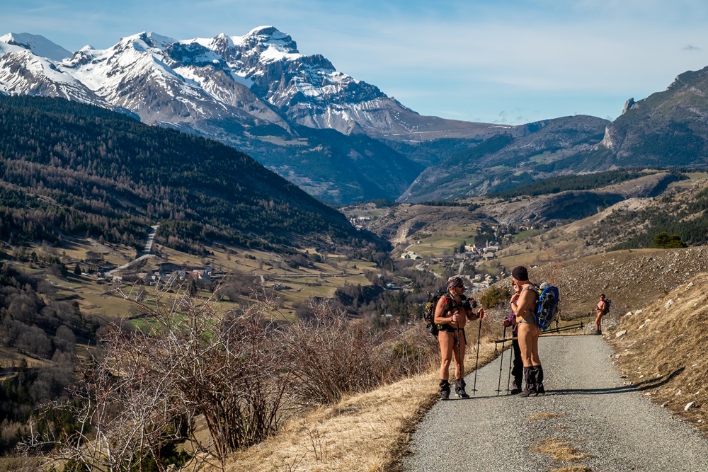
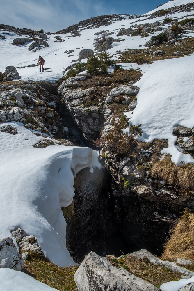
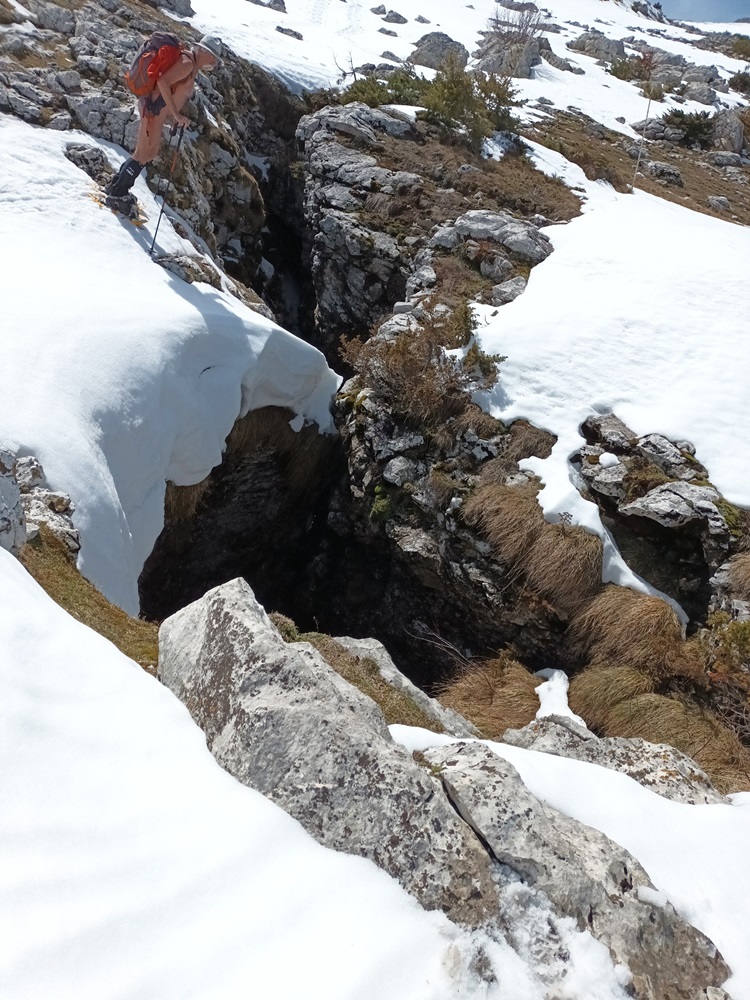
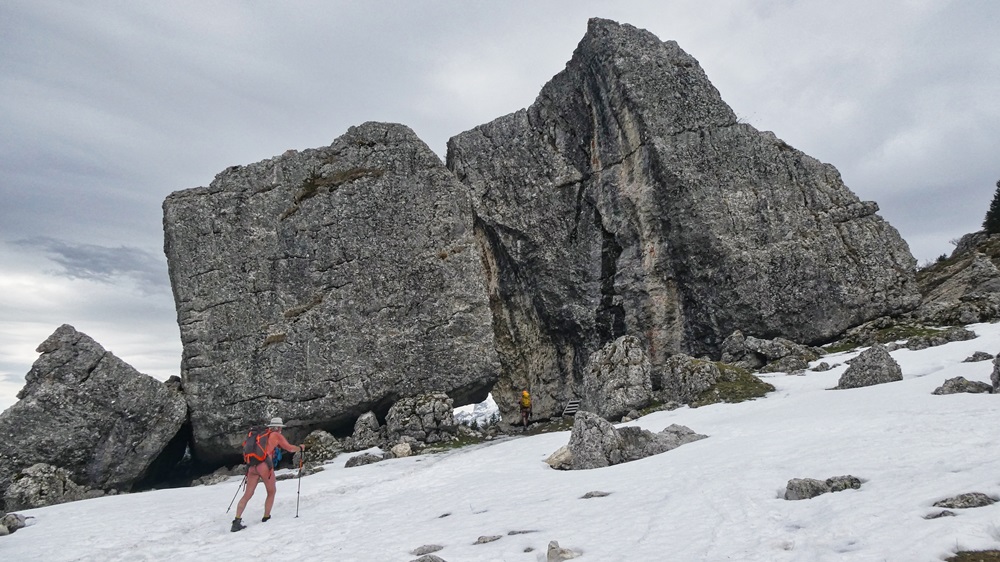
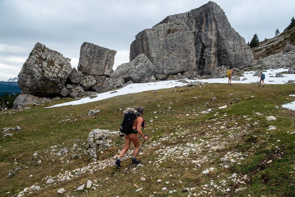
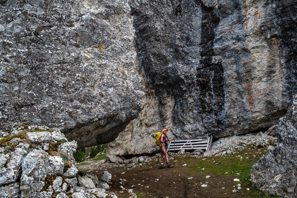
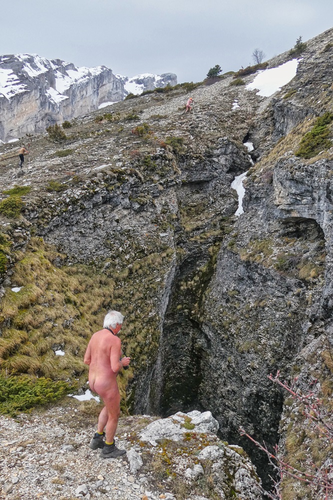
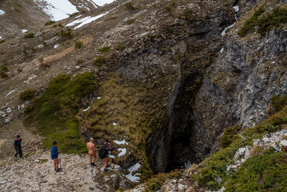
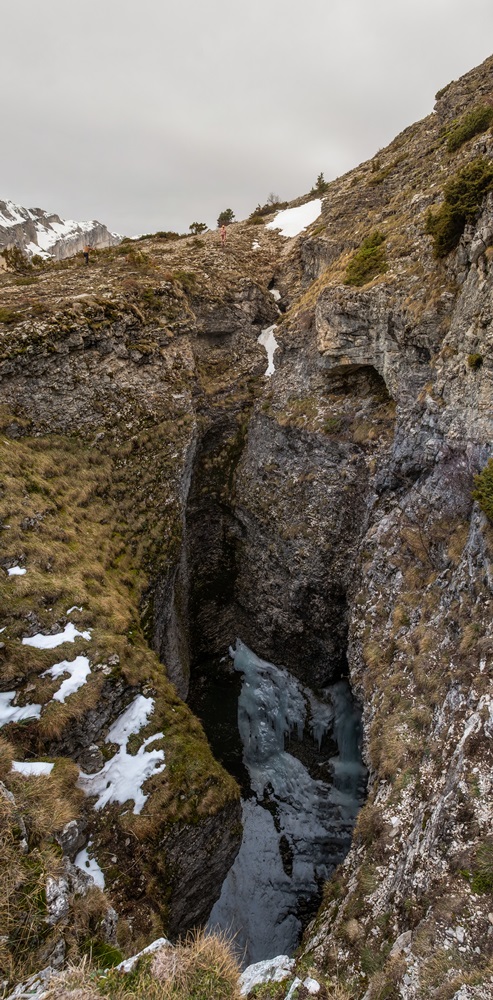
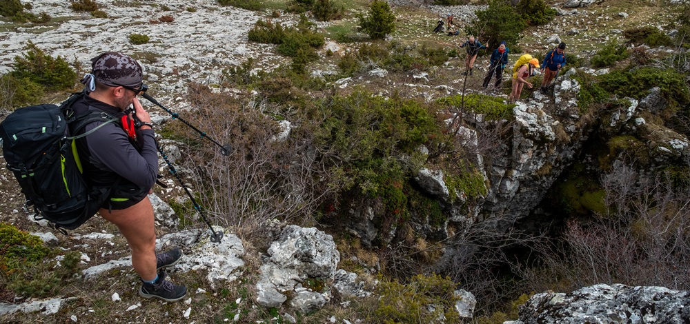
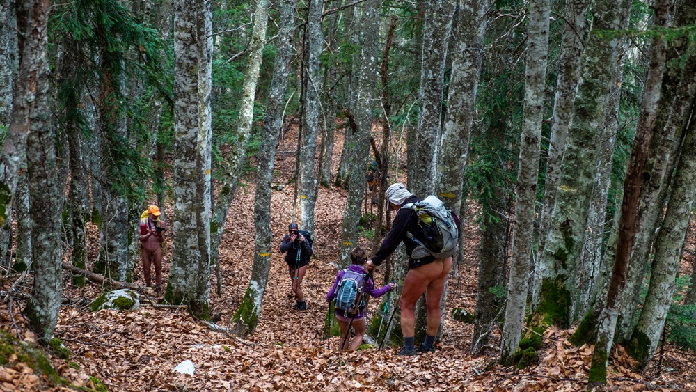
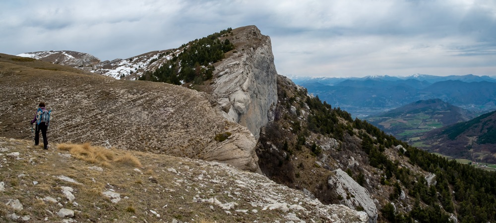
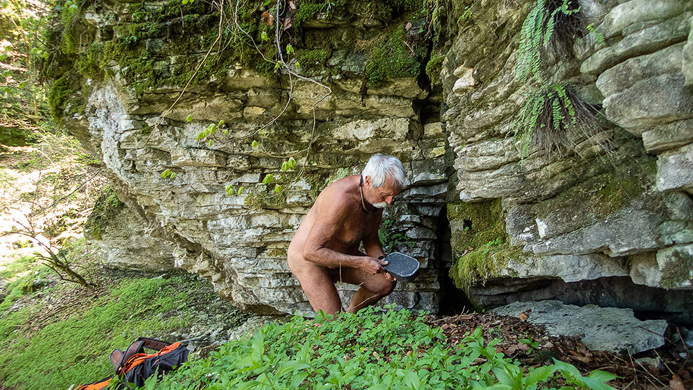
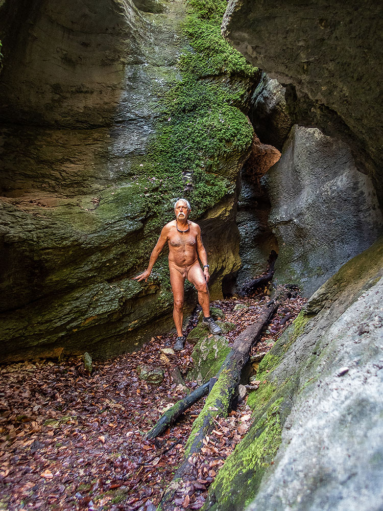
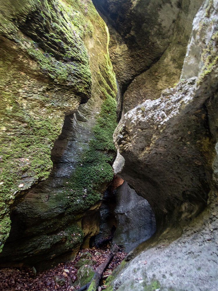
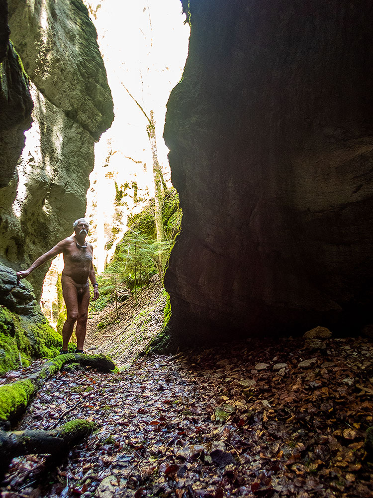
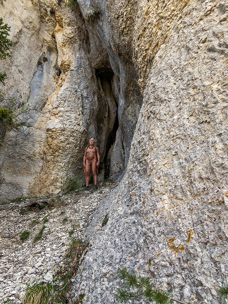
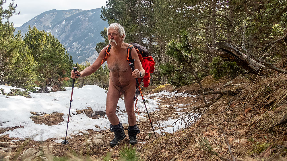
Jeudi. Ce sera une balade sans neige. Départ du hameau du Mas, au dessus de Saint Disdier. Sur un sol de dalles rocheuses, puis en forêt on atteint la cabane de Pierre Baudinard, accrochée au bord d’un chaos de gros blocs de roche. On continue jusqu’à une deuxième cabane en moins bon état. Détour pour admirer le chourum de la Parza, impressionnant avec son glacier souterrain qui effleure au fond du trou. Un peu au jugé, sans qu’il y ait vraiment de sentier, on rejoint la cabane Martin et un autre chourum à proximité. Retour à travers de belles prairies d’altitude et des forêts de hêtres au sol couverts de feuilles mortes jusqu’à retrouver la civilisation au hameau de Villard Joli.

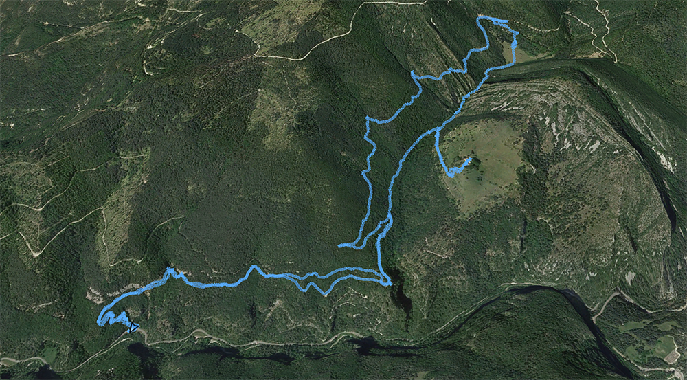
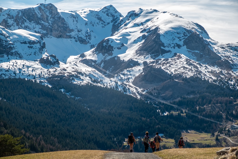
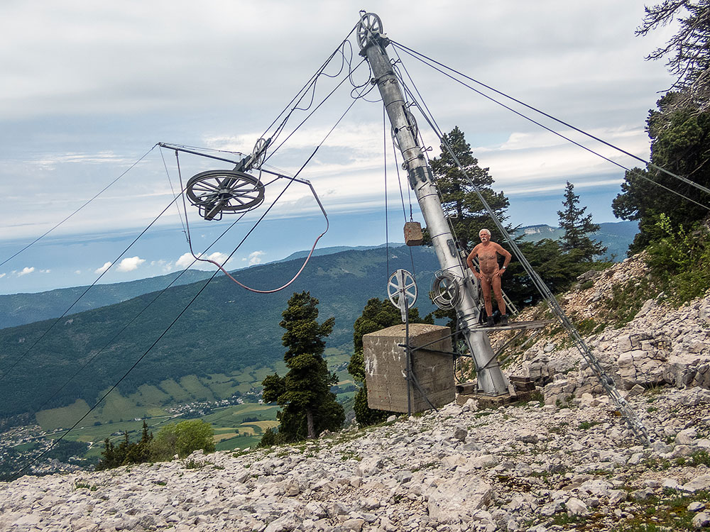
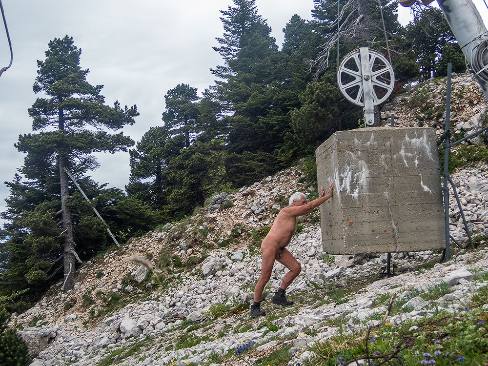
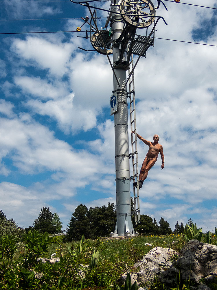
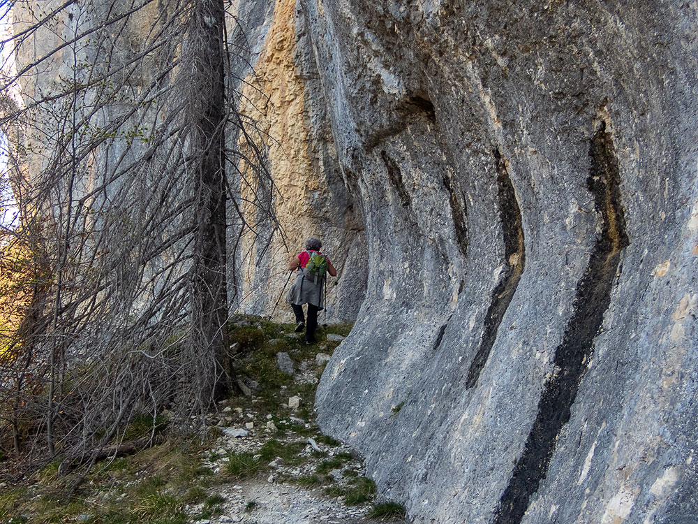
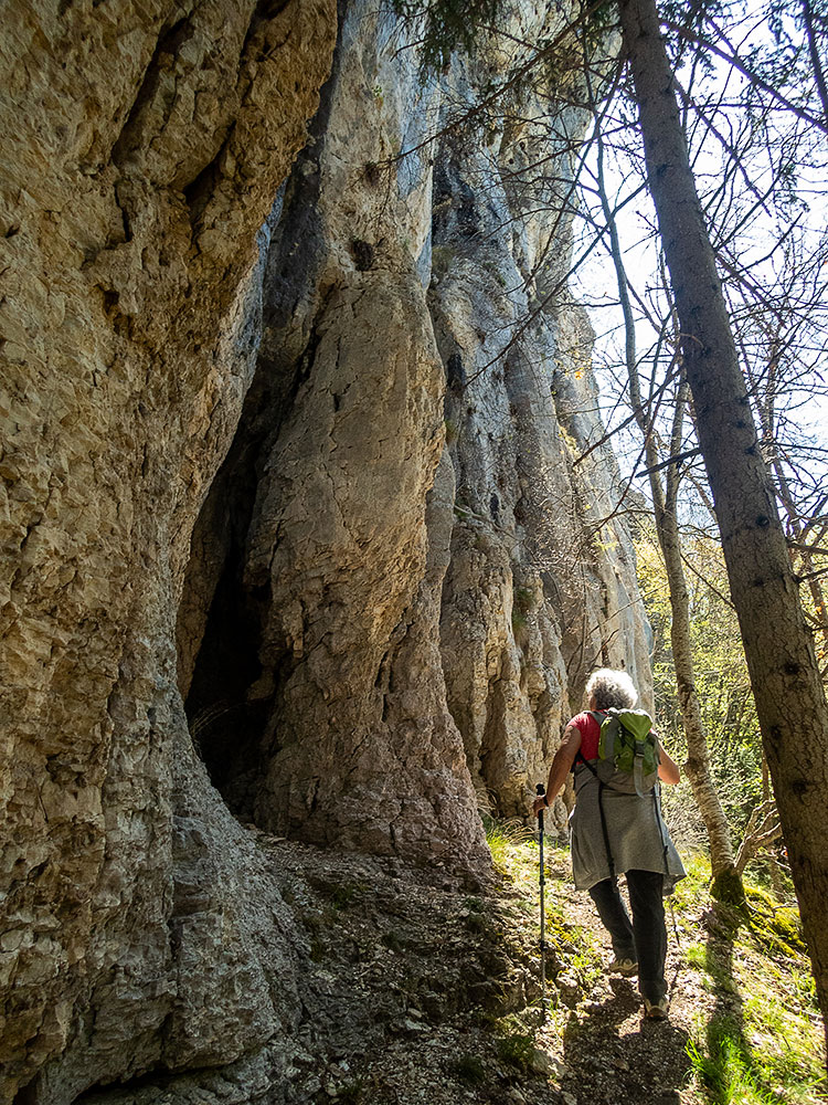
Vendredi enfin pour la dernière balade de la semaine, on quitte quelque peu le massif pour rejoindre la station de ski fermée de Céüze. Le temps est bien gris et frais. On part sous les pylônes des remontées mécaniques. Un sentier nous mène en bordure de cette montagne à la forme circulaire, un synclinal perché dont on fait un quasi tour avant de traverser en retour vers la station sous une petite pluie qui commence à poindre. Juste à temps !

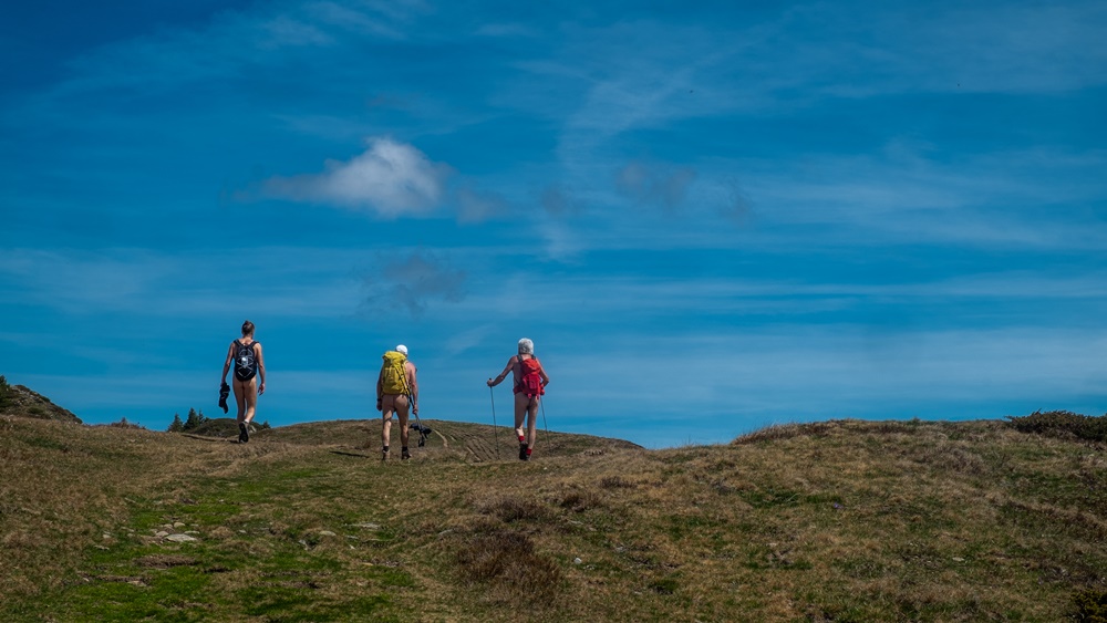
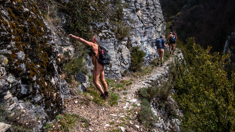
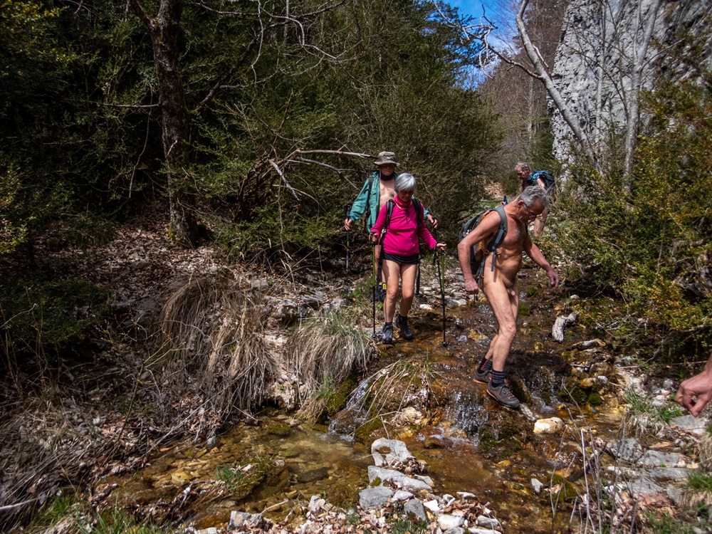
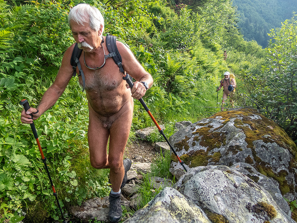
Finalement la météo n’aura pas été si mauvaise que cela nous permettant de se balader nus tous les jours.


New trip organized by Bruno and the RSVN association; the destination this spring is the Dévoluy massif with a gîte in the hamlet of Collet above Saint Étienne en Dévoluy as a base. The weather forecast is rather pessimistic for the week and announces rain; we will have to deal with it!
First walk on sunday, starting directly from the gîte. A light drizzle doesn’t discourage us, but it stops quickly and leaves a heavy and grey sky. One kilometer of road on which we remain well covered until we pass a large sheepfold guarded by patous who approach barking but let us pass. A descent on a dirt track leads to the trailhead. Undressing. The path climbs along a valley until we reach the Aup hut and then the Aup pass where a cold wind awaits us, with a somewhat dull view of the Sautet lake in the distance. Back to the hut for a picnic before starting the descent.


Monday. Departure from a small bridge on the Souloise. Trail in the forest with the first patches of snow. Then the snow becoming more present, we put on the snowshoes. We leave the forest. The landscape opens, the clouds tear and let glimpse the surrounding summits. We go up in single file until our goal of the day: the pass of Rabou. There also the wind surprises us, a fog also. We must quickly find a sheltered place for the meal. The descent by the other side of the valley on a wide open track and under a returned and even warm sun brings us back by some detours to our starting point, with a panoramic view on the Aurouze mountain and its plateau of Bure just in front of us, and the barrier which extends from the Obiou to the Ferrand and the Tête de Lauzon on the side.


Tuesday the objective was the Col du Charnier starting from the hamlet of La Chaud. At the level of the chourum Clot, we put on the snowshoes (a chourum is the term meaning chasm in the Dévoluy). But arrived on a small quiet plateau and in front of the envisaged difficulty of a descent in overhang followed by a section still long to be completed before reaching the pass, the group decides to stop there, to eat and even to make the nap!


Wednesday, departure of the pass of Festre. We reach a hut at the limit of the snow. Three hikers precede us. We will double the last one in a steep path which leads to the Collet. It is the winter itinerary which avoids a path too much in slope by the GR. At the Collet, Bruno, Franck, Stéphane, Guillaume and Patrick then Yannick begin the descent and the round trip towards the Aiguilles valley. I prefer with Yves, Chantal and Jean Paul, then Patricia and Dominique to stay around, climbing to the Tête du Jas des Arres then the Tête de Merlant, two small summits which allow a 360° view of the panorama ideal for photography.

Thursday. It will be a walk without snow. Departure from the hamlet of Mas, above Saint Disdier. On a ground of rocky slabs, then in forest we reach the hut of Pierre Baudinard, hung on the edge of a chaos of big blocks of rock. We continue until a second hut in less good state. Detour to admire the chourum of the Parza, impressive with its underground glacier that skims the bottom of the hole. A little bit on the judge, without really having a path, we reach the Martin hut and another chourum nearby. Back through beautiful meadows of altitude and forests of beech trees with the ground covered with dead leaves until finding civilization at the hamlet of Villard Joli.


Friday finally for the last walk of the week, we leave the massif to join the closed ski resort of Céüze. The weather is quite gray and fresh. We leave under the pylons of the ski lifts. A path leads us in edge of this mountain in the circular shape, a perched syncline of which we make a quasi turn before crossing in return towards the station under a small rain which begins to appear. Just in time!
Finally the weather will not have been so bad as that allowing us to walk naked every day.
Source du Gargoton

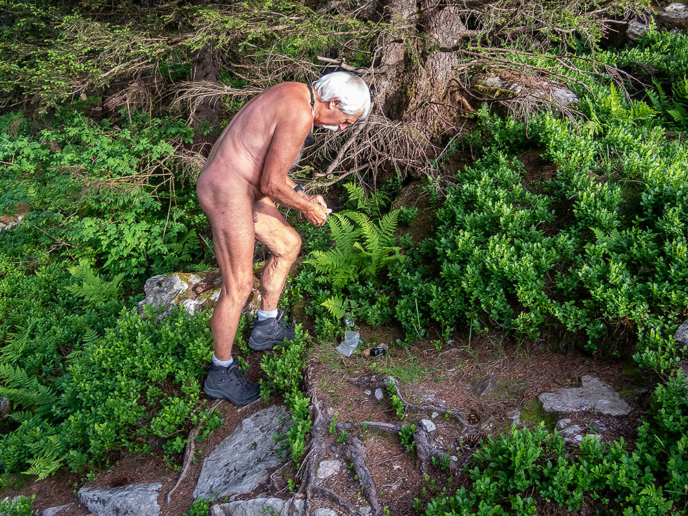
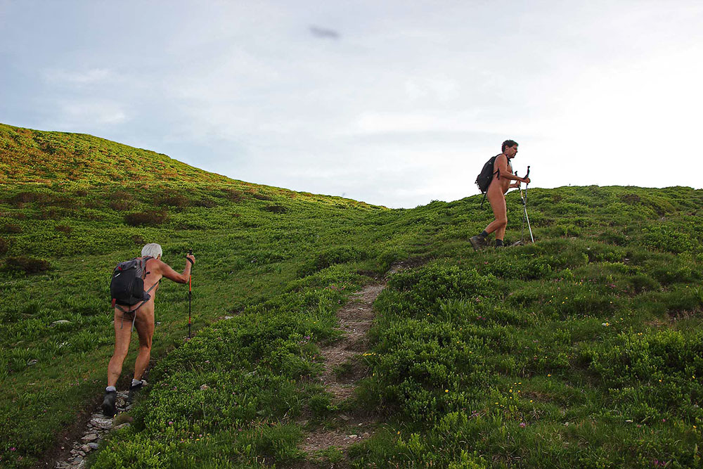
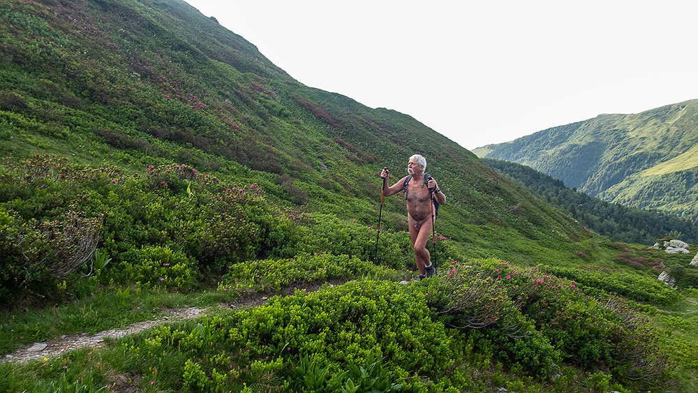
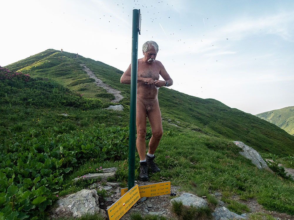
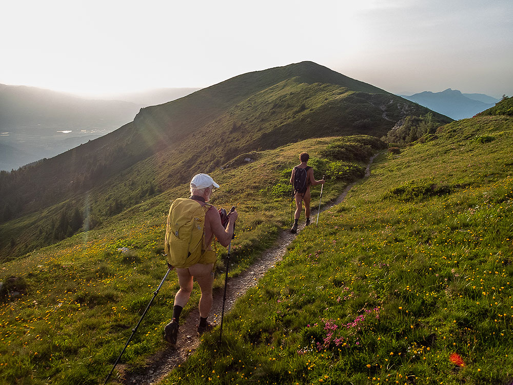
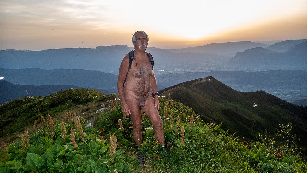
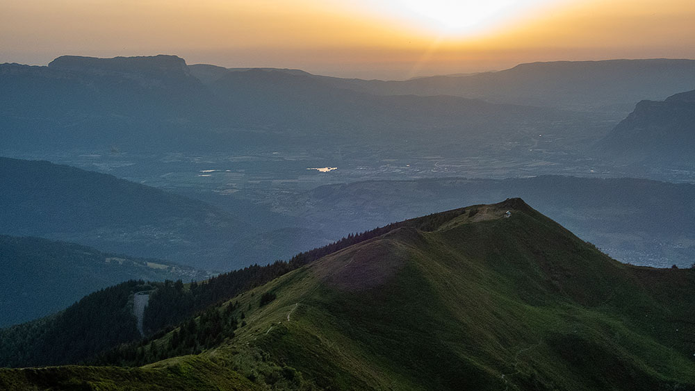
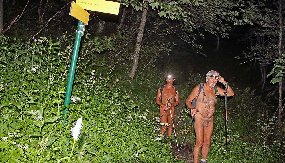
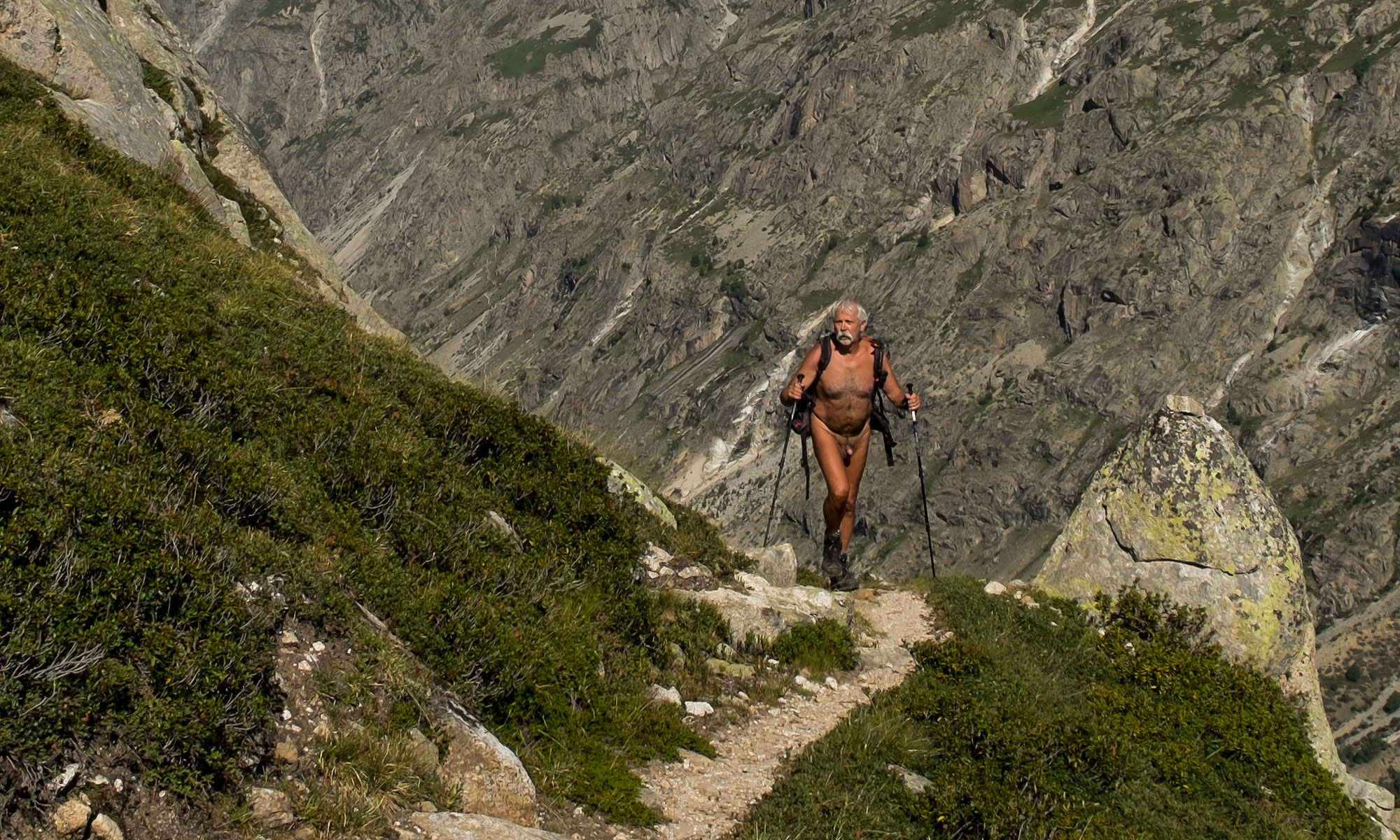
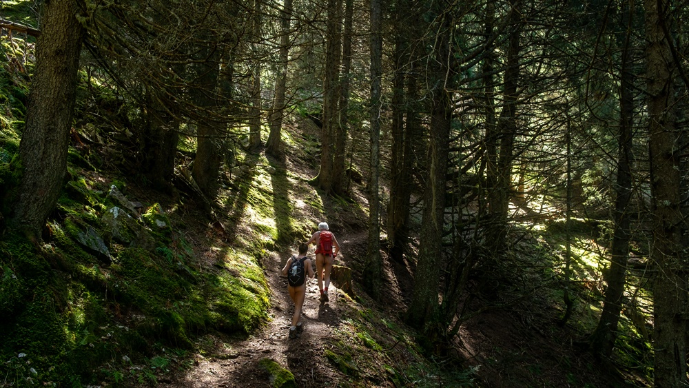
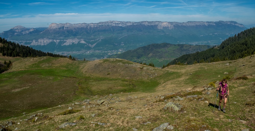
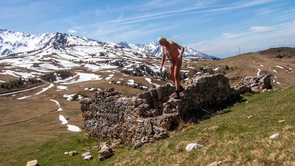
Période caniculaire. Pour échapper à ces hautes températures, Bruno propose une randonnue crépusculaire. Je suis bien évidemment partant. On se retrouve à trois sur un parking de la Rochette pour embarquer dans sa voiture. Quelques kilomètres de route et une bonne distance de piste forestière plus tard on arrive au départ du sentier. Il est 18h45, il fait bon dans ce versant nord de la chaîne de Belledonne! Pas d’autre véhicules dans ce coin retiré, donc départ nus. Ce sera une rando 100 % naturiste ! Ça commence à monter tout de suite en forêt. On atteint la source du Gargoton où je trouve une geocache, mais les copains ont continué directement, je dois donc les rattraper. Le sentier monte entre blocs rocheux et massif de rhododendrons jusqu’à atteindre le col de la Perrière. Seconde geocache. Encore un effort jusqu’à un petit sommet qui nous permet de contempler le temps d’un sandwich au soleil couchant l’ancienne station de Valpelouse, la vallée de l’Isère au loin et la chaîne de Chartreuse. Puis c’est la descente dans la semi obscurité dans une combe couverte de myrtillier, puis en forêt. Là l’obscurité est complète et le descente se continue et finit à la frontale.4 heures de rando, près de 10 km et 800 m de dénivelé…officiellement pas un effort à faire en période de canicule…mais on était si bien la haut seuls et au frais !


Hot period. To escape these high temperatures, Bruno proposes a twilight naked hike. I am obviously part of it. We find ourselves to three on a parking lot of the Rochette to embark in his car. Some kilometers of road and a good distance of forest track later we arrive at the departure of the path. It is 18h45, it is pleasant in this northern slope of the chain of Belledonne! No other vehicles in this secluded area, so we start naked. It will be a 100% naturist hike! That starts to go up immediately in forest. We reach the source of Gargoton where I find a geocache, but the buddies continued directly, I must thus catch up them. The path goes up between boulders and massif of rhododendrons until reaching the pass of the Perrière. Second geocache. Another effort to reach a small summit which allows us to contemplate the time of a sandwich at sunset the old resort of Valpelouse, the valley of Isère in the distance and the mountain range of Chartreuse. Then it’s the descent in the semi-darkness in a valley covered with bilberry trees, then in the forest. There the darkness is complete and the descent continues and finishes with the headlamp.4 hours of hike, nearly 10 km and 800 m of difference in height…officially not an effort to make in period of heat wave…but we were so well up there alone and in the cool!

Dent de Moirans

L’un des attraits du geocaching est de faire découvrir des endroits que l’on n’aurait pas idée de visiter sans cette incitation. C’est exactement le cas pour cette Dent de Moirans qui depuis quarante ans est visible depuis ma fenêtre, mais paraît bien anodine, sur un mamelon boisé au pied des falaises du Vercors. Je vais tout de même aller jeter un coup d’œil sur deux caches.

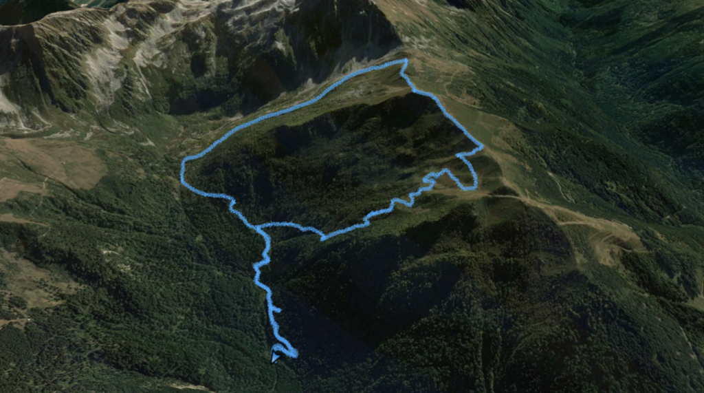
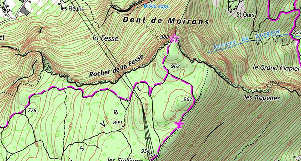
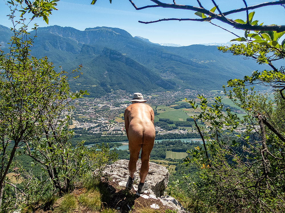
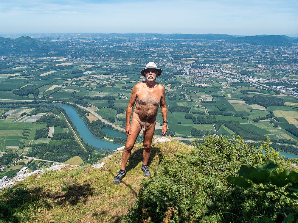
Depuis un parking au bout d’une petite route, le cheminement rejoint vite une très large piste qui a sans doute été élargie et aplanie récemment. Parcours sans charme sur lequel je reste habillé. Jusqu’à rejoindre un vieux chemin en forêt qui est nettement plus agréable. Là, je me déshabille. Comme je n’ai qu’un petit sac à dos sans poche extérieures, je garde mon short à la main, au cas où !

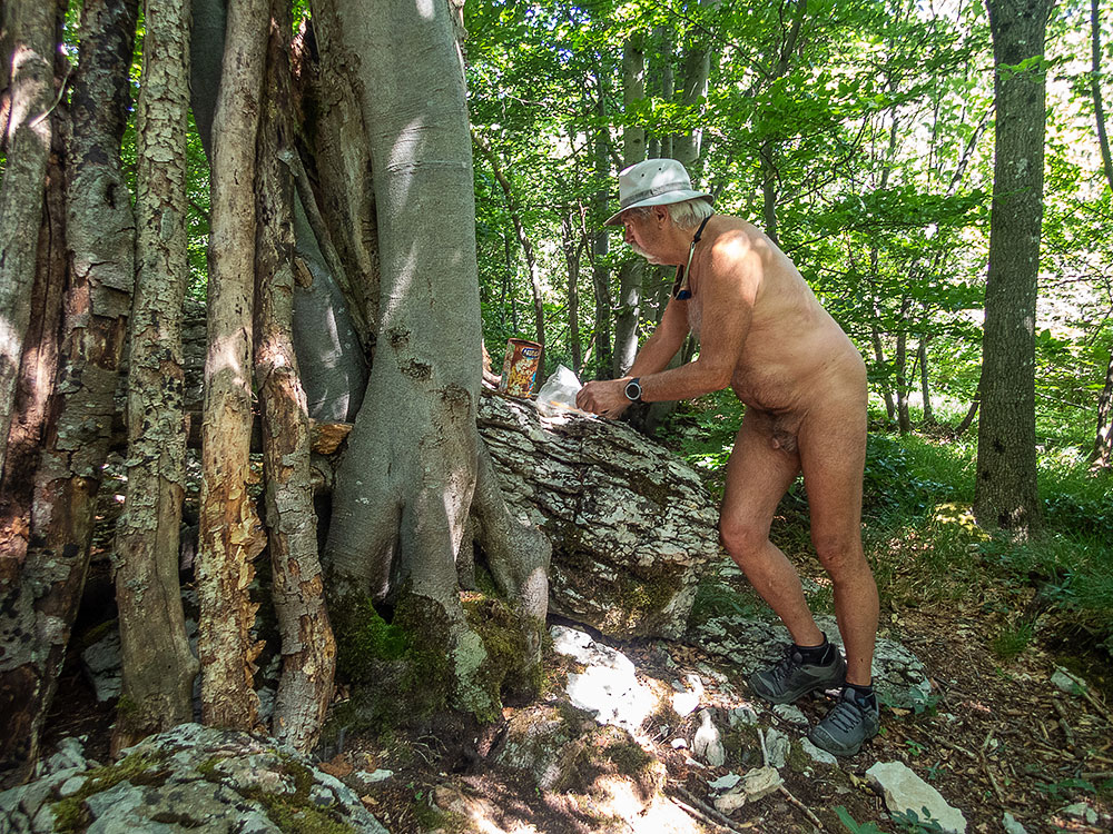
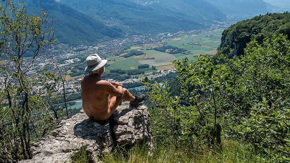
Détour par une table d’orientation, lieu d’une earth cache sur la géologie de la région. Je rejoins le chemin qui monte vers la Dent. Dans un virage, une randonneuse descend en face de moi. Je met juste mon short devant moi et salue. J’ai un sourire en réponse. J’arrive à la seconde geocache. La boite est vite trouvée, mais pas de logbook à l’intérieur, juste un sachet vide et quelques objets. Quelques centaines de mètres plus loin, j’arrive à la Dent. J’aperçois une personne assise me tournant le dos, observant le panorama. J’enfile le short et m’avance. Salutations. La personne me laisse la place sur l’étroit belvédère. La vue est superbe sur la vallée de l’Isère, malgré une brume de chaleur qui amoindri les lointains. Puis un trailer arrive tout essoufflé. Au bout de quelques minutes les deux repartent. Seul, je tente une photo autoportrait, mais nulle part pour accrocher vraiment mon appareil. Je repère une étroite sente et découvre plusieurs autres belvédères bien plus pratiques pour les photos…et bien plus isolés et tranquilles. La ligne de falaises qui s’étend depuis là porte le nom, bien évidemment séduisant pour moi, de Rocher de la Fesse. Je l’illustre en photo. Dans la descente je croise un vététiste qui monde. Le short tenu à la main devant moi encore et quelques mots : « Pas trop dur en vélo ? – Non, ça va, bonne rando ». Je bifurque ensuite par une vieille piste défoncée par le débardage, creusée d’ornière et de troncs en travers qui me ramène à quelques dizaine de mètres du parking. J’espère arriver à mon véhicule sans avoir à me changer, mais las ! Un grand bruit derrière moi et le vététiste déboule. J’enfile mon short. Sa voiture est là aussi. Arrêté, il s’excuse auprès de moi avec le sourire : « Je vous ai dérangé. On ne peut jamais être tranquille » Puis nous échangeons sur les différents parcours et les travaux forestiers qui les compliquent.


One of the attractions of geocaching is that it allows you to discover places that you wouldn’t have thought of visiting without this incentive. This is exactly the case for this Dent de Moirans which has been visible from my window for forty years, but seems quite insignificant, on a wooded hillside at the foot of the Vercors cliffs. I’m going to have a look at two caches anyway.

From a parking lot at the end of a small road, the path quickly joins a very wide track that has probably been widened and leveled recently. A path without charm on which I remain dressed. Until I reach an old path in the forest which is much more pleasant. There, I take off my clothes. As I only have a small backpack with no outside pocket, I keep my shorts in my hand, just in case!

Detour by an orientation table, place of an earth cache on the geology of the region. I join the path that goes up to the Dent. In a bend, a woman hiker comes down in front of me. I just put my shorts in front of me and wave. I have a smile in response. I arrive at the second geocache. The box is quickly found, but no logbook inside, just an empty bag and a few items. A few hundred meters further, I arrive at the Dent. I see a person sitting with his back to me, observing the panorama. I put on the shorts and walk forward. Greetings. The person leaves me the place on the narrow belvedere. The view is superb on the Isère valley, in spite of a heat haze which reduces the distance. Then a trailer arrives all out of breath. After a few minutes, both of them leave. Alone, I try a self-portrait, but nowhere to really hang my camera. I find a narrow path and discover several other viewpoints much more convenient for pictures…and much more isolated and quiet. The line of cliffs that stretches from there bears the name, obviously attractive to me, of Rocher de la Fesse. I illustrate it with a picture. On the way down I meet a mountain biker who is riding. The shorts held in the hand in front of me again and some words: « Not too hard on the bike? – No, I’m fine, have a good hike ». I fork then by an old track broken by the logging, dug of rut and of trunks across which brings me back to some ten meters of the carpark. I hope to get to my vehicle without having to change, but I’m out of luck! A big noise behind me and the mountain biker is riding. I put on my shorts. His car is there too. He stopped and apologized to me with a smile: « I disturbed you. One can never be quiet  » Then we exchange on the various paths and the forest works which complicate them.

Geocaching à Lans en Vercors

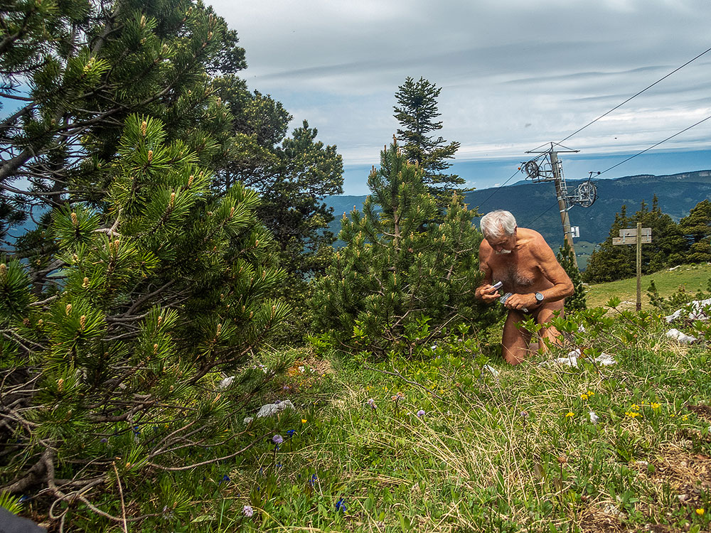
Début juin. La météo est correcte. J’ai repéré quelques geocaches à chercher au sommet des pistes de ski de la station de Lans en Vercors. Il faut y aller maintenant avant que la saison estival ne commence. Il risque d’y avoir plus de monde en train de faire du vtt, par exemple, les prochains mois. Départ du parking en short et tee shirt le long du chemin qui mène aussi vers le Moucherotte. Mais à la première traversée de piste de ski, en herbe, je bifurque pour monter droit dans la pente. Ça monte raide, sans virages. Je quitte vite les vêtements. J’arrive au sommet d’un téléski. Première cache trouvée. Les deux suivantes, elles aussi proches de remontées mécaniques aussi. Elles ont été prévues pour être recherchées en hiver, ski au pied. Un coup d’œil sur la crête pour admirer le panorama. Il ne me reste plus qu’à descendre. Tout droit également en suivant une piste rouge.


Beginning of June. The weather is fine. I spotted some geocaches to look for at the top of the ski slopes of the resort of Lans en Vercors. It is necessary to go there now before the summer season starts. There might be more people riding mountain bikes, for example, in the next few months. Departure from the parking lot in shorts and tee shirt along the path that also leads to the Moucherotte. But at the first crossing of the ski slope, in grass, I fork to go straight up the slope. It goes up steeply, without turns. I quickly leave the clothes. I arrive at the top of a ski lift. First cache found. The next two, also close to ski lifts. They have been made to be searched in winter, ski at the foot. A look on the ridge to admire the panorama. I just have to go down. Straight on too, following a red ski run.

Pas du Curé

Petite balade improvisée avec ma compagne : le temps est meilleur que prévu, autant en profiter. On se décide pour une boucle au départ d’Engins par le pas du Curé. Elle ne connaît pas et pour ma part je n’y suis pas retourné depuis une dizaine d ‘années. Après une petite distance sur la route, le départ du chemin est en cours de modification, une bonne marche pour l’atteindre et un terrain bien glissant. Il ne doit pas passer grand monde par là !

On s’éloigne des maisons du hameau et on arrive dans la gorge du pas du Curé. Je sais qu’il y a une geocache par là, mais la réception du gps est bien pauvre dans ce trou encaissé. Je cherche d’un côté, elle de l’autre…et c’est elle qui repère la boite, puis continue car elle marche plus lentement. A l’écart du chemin, je peux bien me déshabiller ! Puis finalement je reste comme ça pour continuer. Elle ne me fais pas de remarque, on est vraiment seuls tous les deux dans ce coin isolé un jour de semaine.

On rejoint une piste plus large que l’on quitte pour un étroit sentier qui s’étire au bas de falaises de roches blanchâtres décorées de trous, de fissures, presque de colonnades de pierre. On hésite entre deux chemins et on choisit le plus petit qui nous amène au bord du plateau de Saint Nizier. Une boucle imprévue mais qui nous permet de rallonger un peu la balade. On retrouve le chemin de descente par le pas de la Corne, équipé de vieilles rambardes de fer. En bas, en lisière de forêt et à proximité des maisons, je consens à regret à me rhabiller.


Small improvised walk with my companion: the weather is better than expected, so we might as well enjoy it. We decide for a loop at the beginning of Engins by the step of the Curé. She does not know and for my part I did not return there since about ten years. After a small distance on the road, the departure of the way is being modified, a good step to reach it and a quite slippery ground. It should not pass many people by there!

One moves away from the houses of the hamlet and one arrives in the gorge of the Pas du Curé. I know that there is a geocache by there, but the reception of the gps is very poor in this steep gorge. I look for a side, she for the other… and it is her who locates the box, then continues because she walks more slowly. Away from the path, I can undress well ! Then finally I stay like that to continue. She does not make me any remark, we are really alone both in this isolated corner on a day of week.

We join a wider track that we leave for a narrow path which stretches at the bottom of cliffs of whitish rocks decorated with holes, cracks, almost of stone colonnades. We hesitate between two ways and we choose the smallest which brings us to the edge of the plateau of Saint Nizier. An unforeseen loop but which allows us to lengthen a little the stroll. We find the way of descent by the step of the Horn, equipped with old iron railings. In the valley, in edge of forest and near the houses, I agree with regret to put on my clothes.

La Belle Justine

Pascal et Clarisse, venant d’Alsace pour les vacances de Pâques, sont partant pour une semaine de randonnues avec l’association des Marcheurs Nus du Val de Roanne. Je ne peux les accompagner que deux jours.

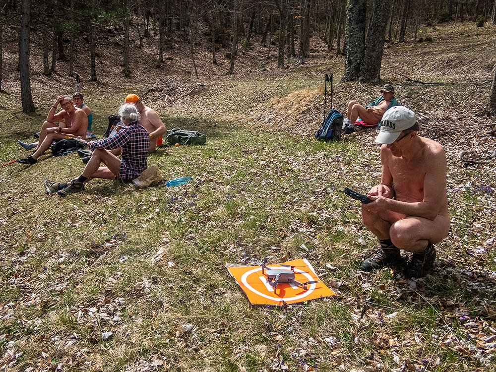
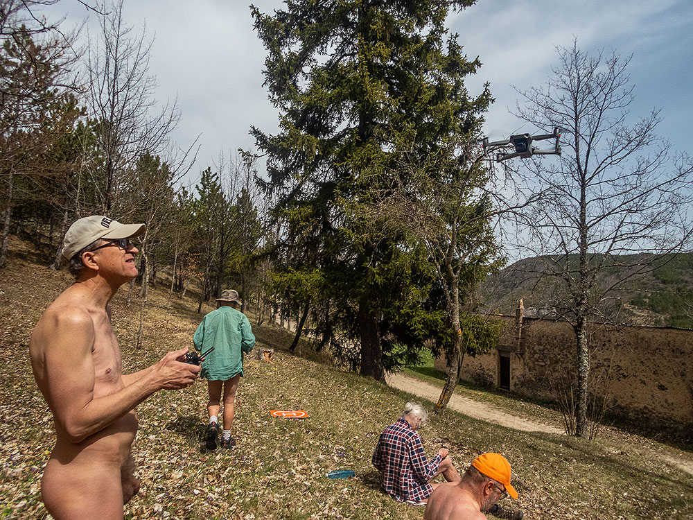
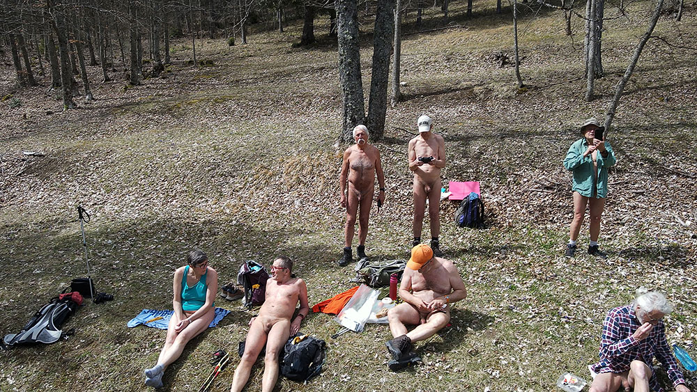
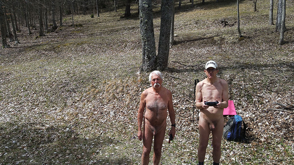
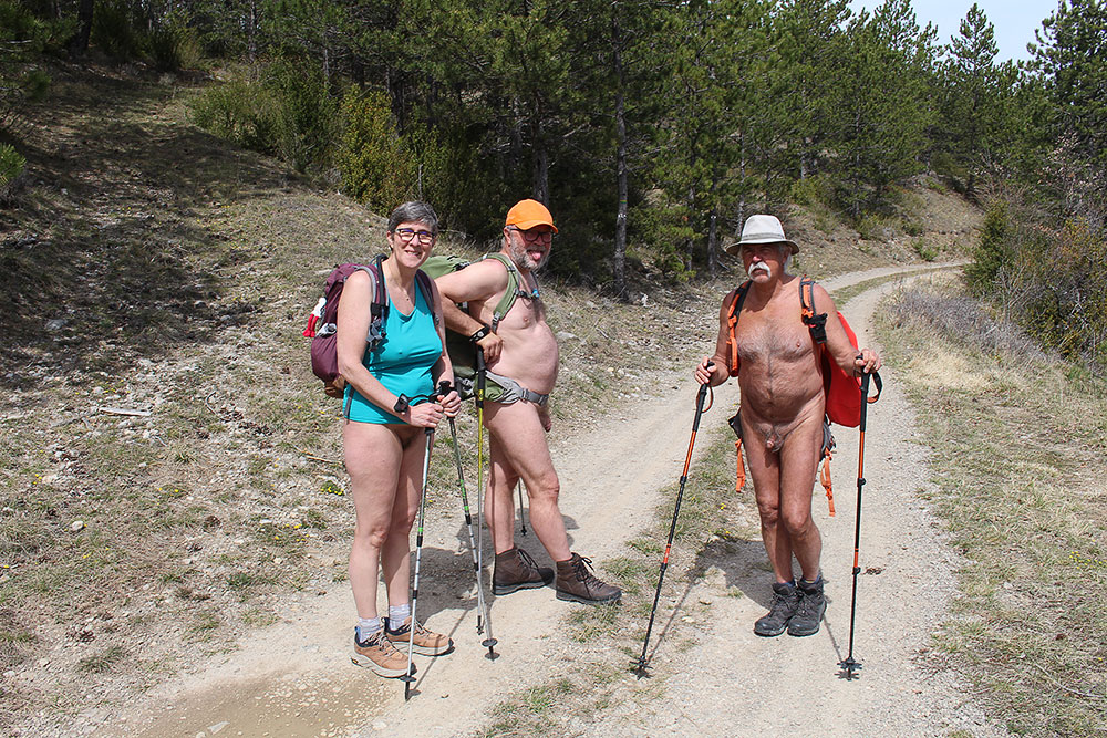
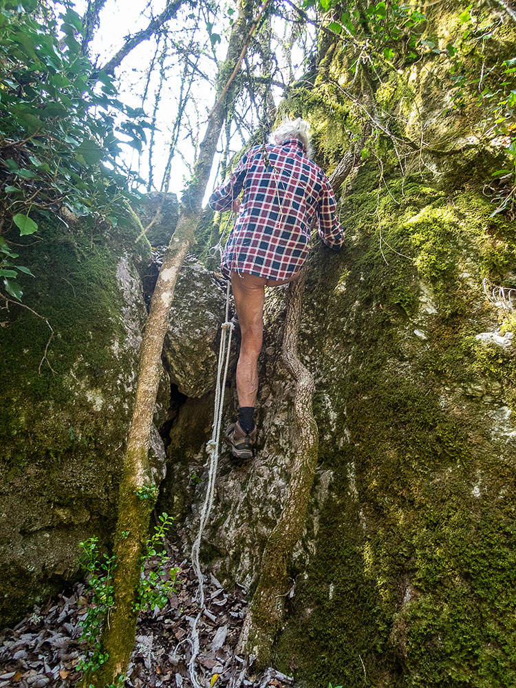
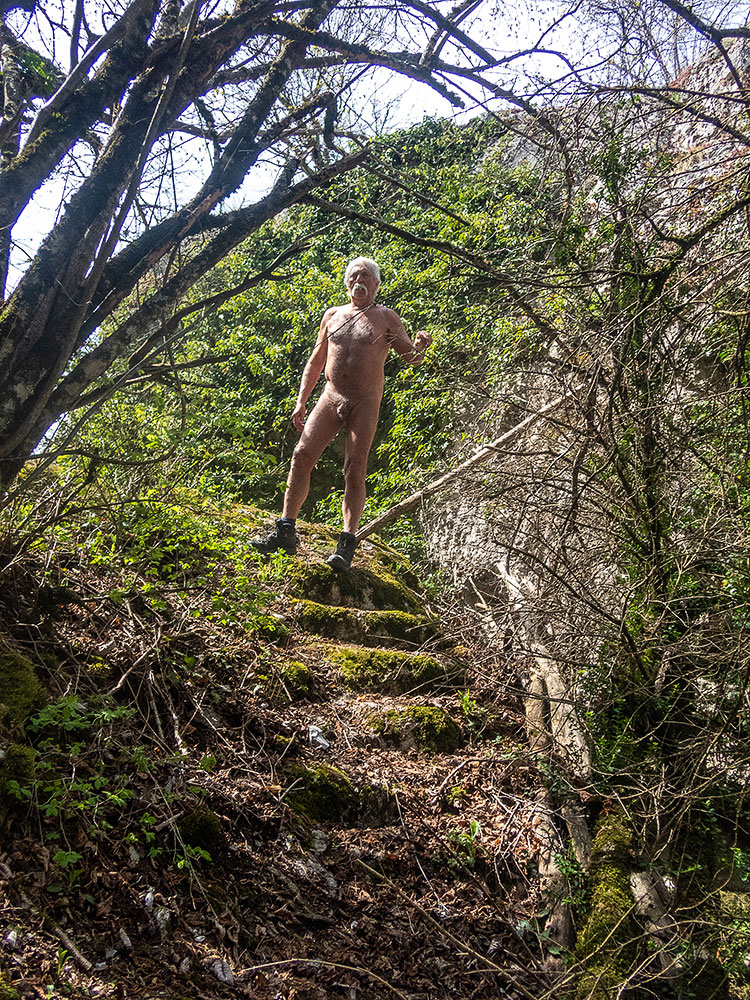
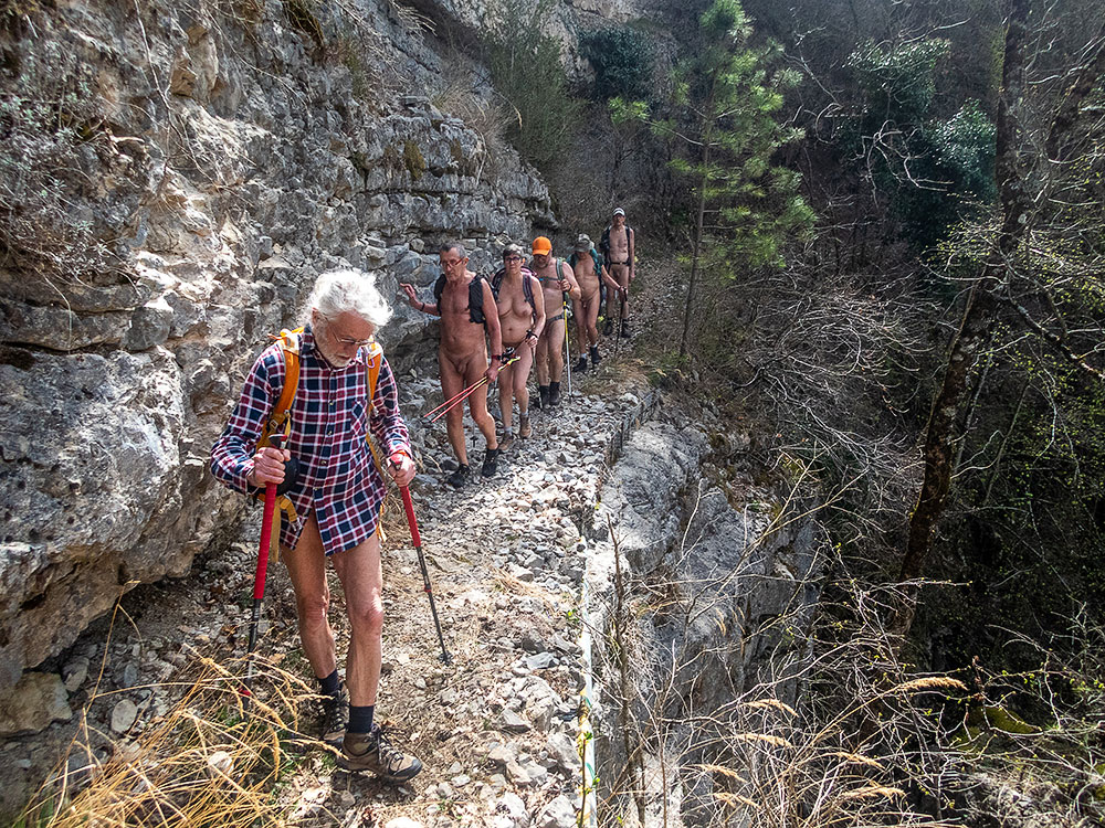
Le mercredi, Bernard nous a prévu la découverte des ruines du château de la Belle Justine. On est parti sur les traces d’une légende dioise qui raconte l’existence dans des temps très anciens de la fille d’un seigneur local, qui possédait une voix d’or mais un visage horrible et qui fut cachée dans un endroit isolé, dans un château construit au sommet d’un rocher loin de la ville. La légende se poursuit par l’existence d’un souterrain qui aurait mené de cette retraite jusqu’au chœur de la cathédrale de Die. Mais tout cela n’est que légendes. Pour l’instant nous sommes sept serpentant sur le chemin, agréable mais étroit, qui monte dans la forêt. Au bout d’un peu plus de deux heures de marche nous atteignons un gîte forestier. Pique nique dans la clairière. Pascal en profite pour mettre en action son drone et faire quelques vues aériennes. Puis il ne nous reste plus qu’à redescendre en passant à côté de ce fameux château, dont il ne reste plus que quelques pierres au sommet d’un bloc rocheux inatteignable. Avec Bernard, on a bien tenté de monté à l’aide d’une corde fixée dans une fissure, mais il a fallu se rendre à l’évidence, les ruines étaient hors d’atteinte. On s’est contenté de grimper quelques marches creusées dans le rocher, preuves d’une occupation historique bien réelle dans ce lieu isolé et non seulement d’une légende.


Pascal and Clarisse, coming from Alsace for the Easter vacations, are going for a week of naked hiking with the association of the Naked Walkers of the Valley of Roanne. I can only accompany them for two days.

On Wednesday, Bernard planned for us the discovery of the ruins of the castle of the Beautiful Justine. We go on the tracks of a Diois legend which tells the existence in very ancient times of the daughter of a local lord, who possessed a golden voice but a horrible face and who was hidden in an isolated place, in a castle built on the top of a rock far from the city. The legend continues with the existence of an underground passage that would have led from this retreat to the choir of the cathedral of Die. But all this is only a legend. For the moment we are seven meandering on the pleasant but narrow path that goes up in the forest. After a little more than two hours of walking we reach a forest lodge. Picnic in the clearing. Pascal takes the opportunity to put his drone in action and to make some aerial views. Then we just have to go back down, passing by this famous castle, of which there are only a few stones left at the top of an unreachable boulder. With Bernard, we tried to go up with the help of a rope fixed in a fissure, but it was necessary to go to the evidence, the ruins were out of reach. We were satisfied to climb some steps dug in the rock, proof of a real historical occupation in this isolated place and not only of a legend.

Séjour en Cerdagne

Grace à Bruno et à l’association RSVNat une nouvelle semaine de randonnue et de raquettes nu, si la neige est au rendez vous, a été programmée pour cette fin du mois de mars en Cerdagne dans le département des Pyrénées Orientales, en fait pas très loin d’où on était en septembre dernier. Pas de camping cette fois mais un gîte au cœur du village de Dorres. Impossible de se mettre nu dans le jardin mais l’intérieur chauffé par un bon feu de bois est confortable. Nous sommes neuf dont deux femmes, tous des habitué(e)s de ces séjours en groupes.

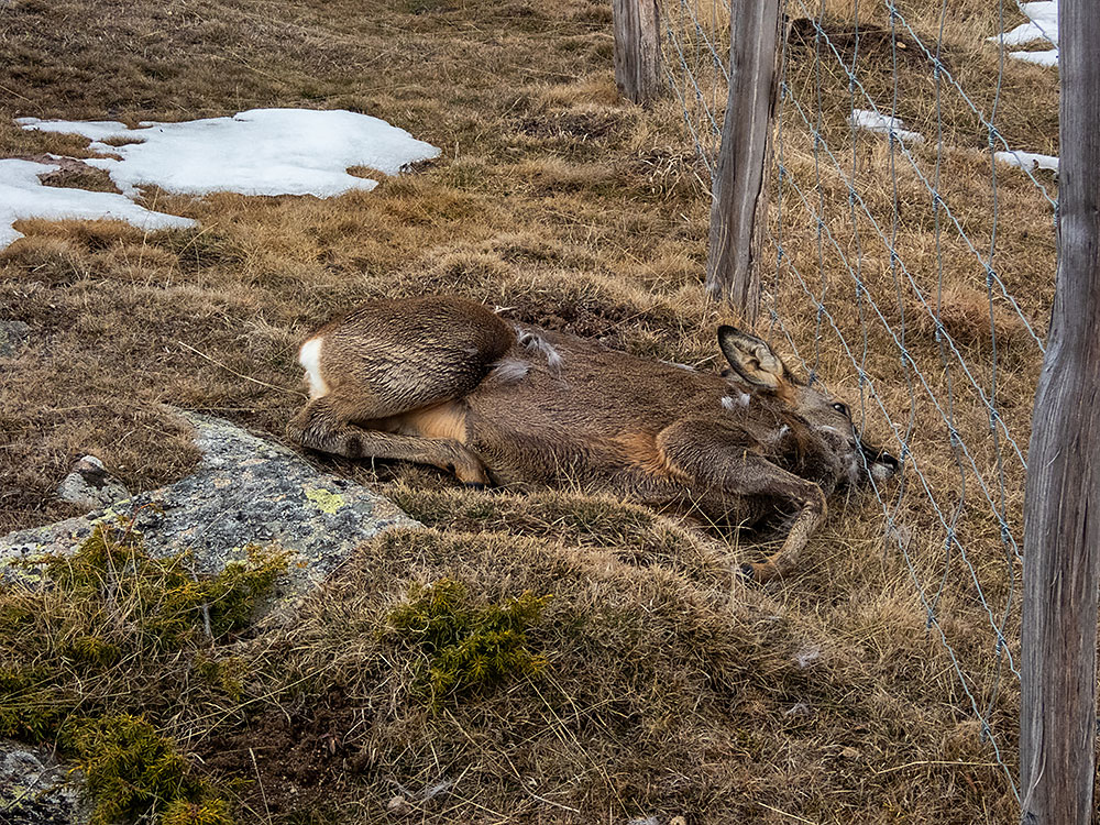
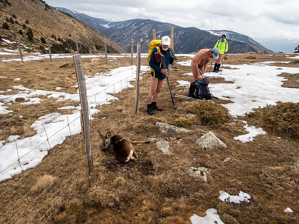
Installation le samedi après midi. Dimanche matin, première balade en partant à pied du gîte. Objectif : le Roc del Castellar. Un kilomètre de route pour atteindre les bâtiments désertés d’un ancien sanatorium, le sentier débute là derrière les immeubles vides et dégradés. La majorité du groupe se dénude dans la montée. Un couple de trailers nous croisent en courant. On atteint les premières plaques de neige. La montée devient plus raide jusqu’à un col bien enneigé et froid. Un isard qui semble blessé aux pattes est coincé sous un grillage. Bruno le délivre mais on ne peut guère faire autre chose pour lui malheureusement. Au cours de la descente on va croiser trois vététistes et deux randonneurs, surpris que l’on puisse être nus par cette température mais souriants. Je retrouverai plus bas ce couple espagnol qui me paraît remettre une geocache en place. Je m’arrête pour tenter d’échanger malgré les différences de langage sur les caches des alentours, eux bien habillés, moi nu, partageant un intérêt en commun.

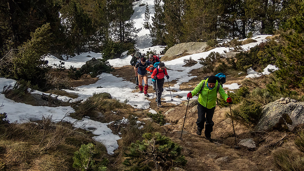
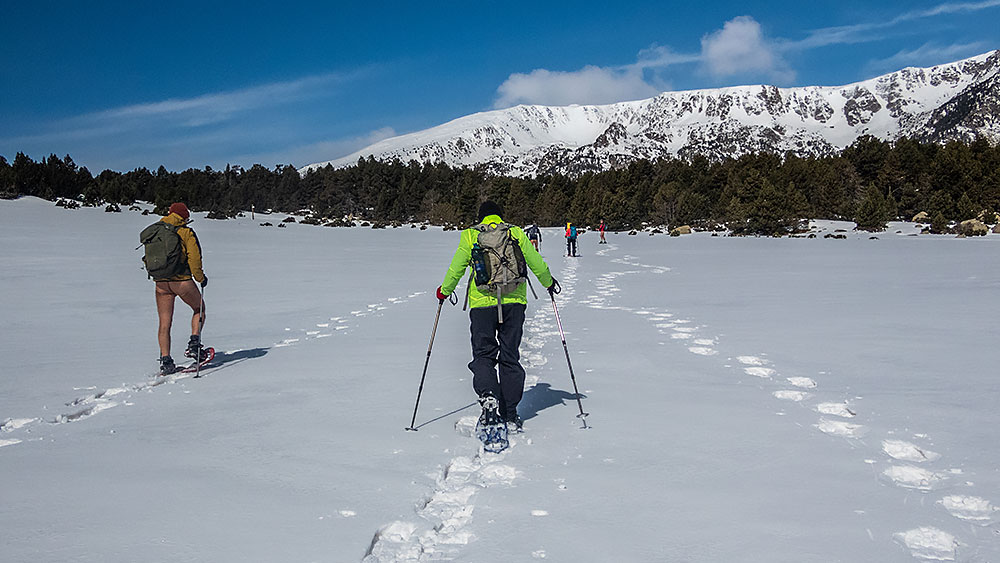
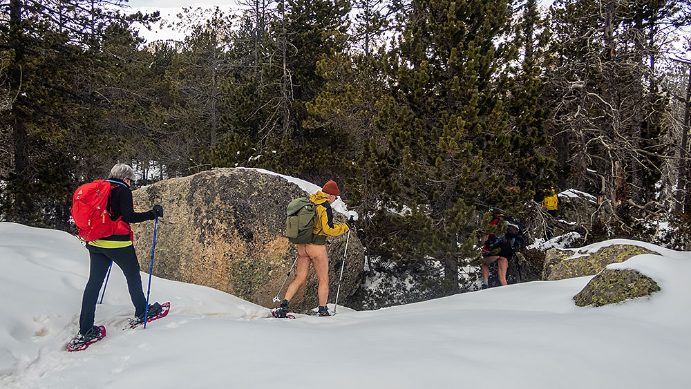
Lundi, parcours dans les environs du lac des Bouillouses. La route qui mène au lac est fermée à mi distance. Quelques voitures sont déjà garées là. On part habillés sur la route qui en fait est bien dégagée, puis on la quitte pour un tout petit sentier qui grimpe raide dans la forêt. Les premiers se déshabillent déjà. Il faut trouver le bon cheminement sur un terrain en partie recouvert de plaques de neige qui cachent le balisage. Un peu plus haut, une femme s’approche de nous. « J’ai perdu la trace. Vous allez au lac d’Aude ? Je peux venir avec vous ? » – « Mais bien sûr ! » Plus loin, ayant trouvé un panneau indicateur, elle nous distancera. Maintenant en raquettes, on passe au dessus de ce lac d’Aude, la source du fleuve, encore enseveli sous la neige. Pique nique à l’abri du vent si possible. Puis descente au creux d’un étroit vallon jusqu’à se retrouver sur la route. Habillage. Un groupe rentre tranquillement aux voitures, le deuxième suit la route jusqu’au barrage des Bouillouses puis revient par un itinéraire en forêt moins bitumé.

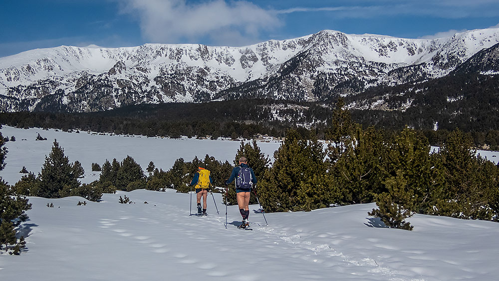
Mardi, on monte en voitures au col de Puymorens. De là on s’engage, raquettes aux pieds, dans le Cama d’en Garcia, long vallon de plusieurs kilomètres d’abord en pente douce et régulière puis coupé de raidillons, qui mène les plus courageux jusqu’à un col. Demi tour pour revenir par le même chemin. Le ciel est bas, la lumière triste. Les lointains, depuis le début de la semaine, sont noyés dans une sorte de brume due au vent de sable.

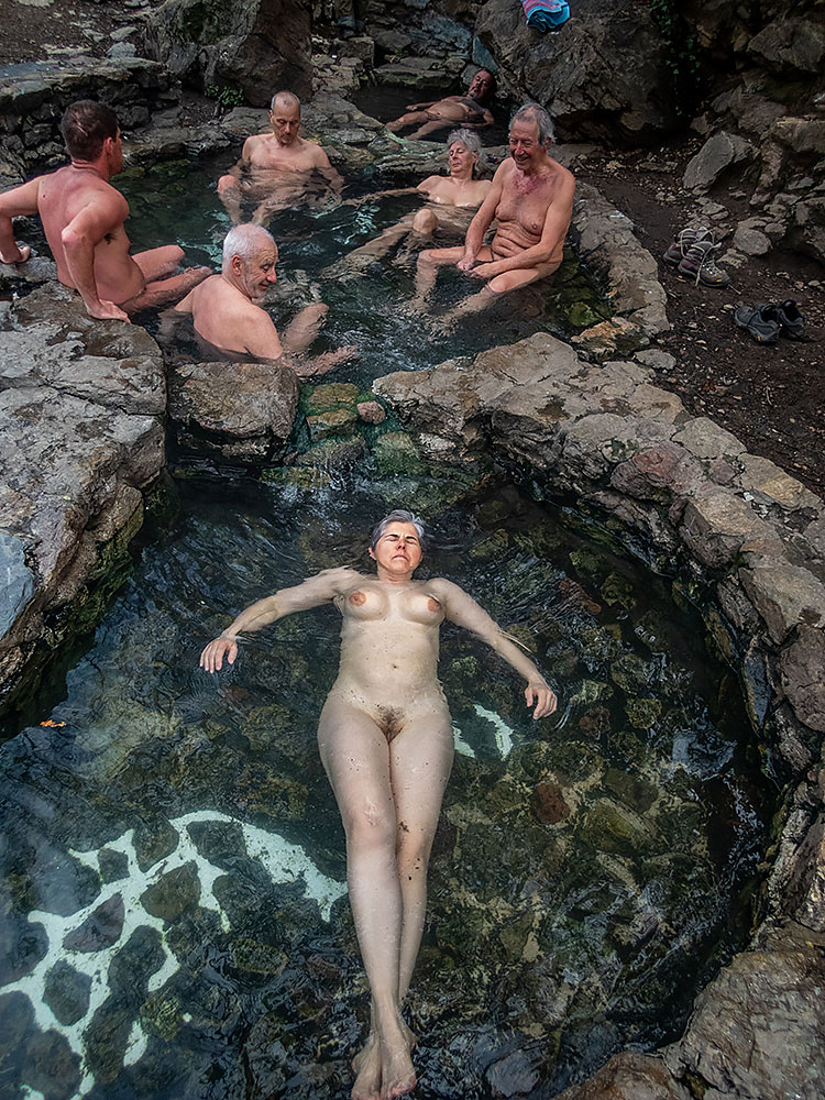
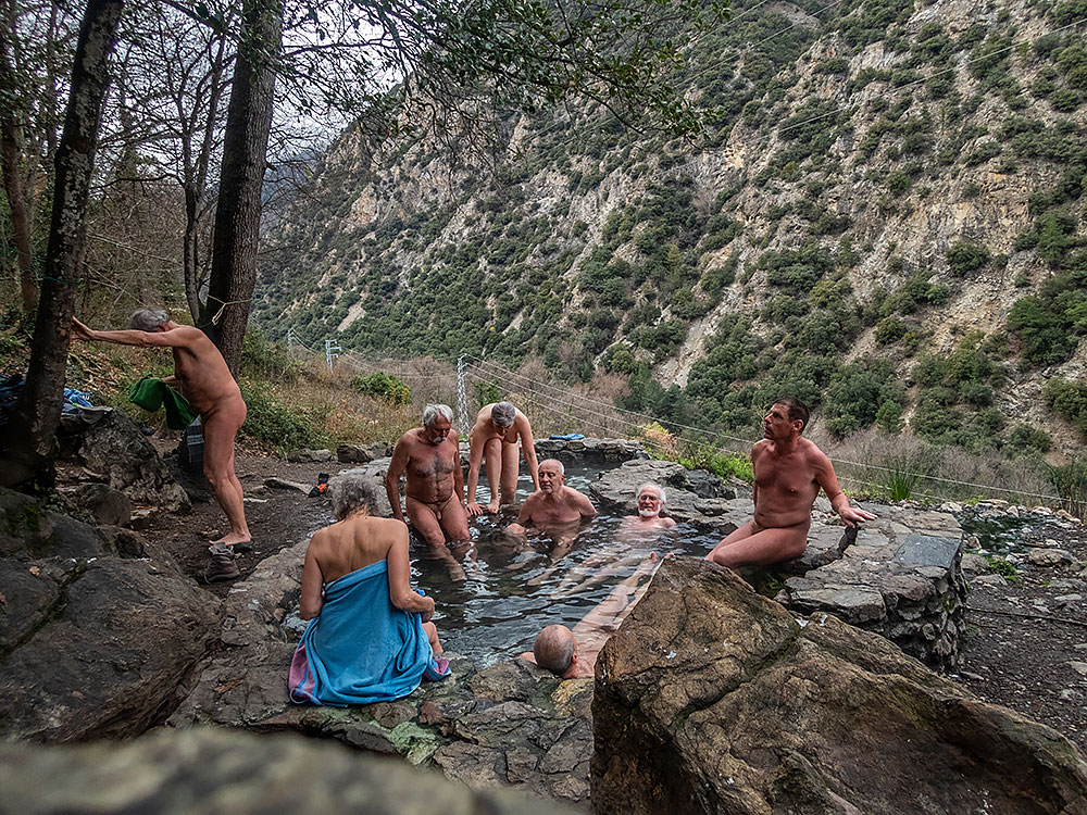
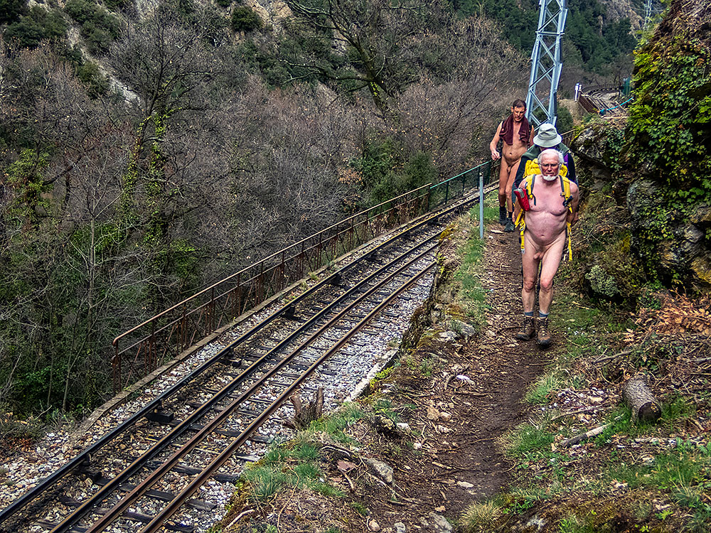
Mercredi matin, on découvre les environs saupoudrés d’une légère couche de neige tombée durant la nuit. La météo n’est pas optimiste. Balade le matin, habillés, jusqu’à la chapelle de Santa Maria de Belloc qui domine le village. L’après midi, on décide de trouver une source d’eau chaude près de Thues, décrite dans un topo. L’accès en est assez secret mais finalement on la trouve après avoir erré quelque peu. Détente bien appréciée mais trop courte car la pluie est annoncée. Le retour se fait en suivant la ligne de chemin de fer du Train Jaune.

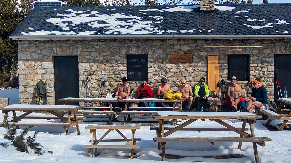
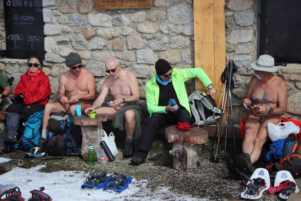
Jeudi, le ciel est plus dégagé. Direction l’Espagne toute proche. On monte par la route privée jusqu’à la station de ski nordique de Guils-Fontanera. Là, malgré le manque de neige et le parking vide, pas moyen d’échapper au péage pour passer les clôtures qui entourent le domaine. Une fois cette formalité effectuée, on a tout l’espace pour nous. On monte d’abord en suivant les panneaux des pistes puis en rejoignant le GR. Plus haut, il faut mettre les raquettes. On atteint le refuge de la Feixa. Arrêt à l’abri du vent pour le repas. Ceux qui préfèrent faire la sieste restent là au soleil. Les autres continuent sur un large chemin puis un peu au hasard en zigzagant dans les bois jusqu’à l’étang de Malniu.

Vendredi, je dois reprendre la route pour rentrer dans les Alpes alors que le groupe se prépare pour une nouvelle balade côté espagnol.


Thanks to Bruno and the RSVNat association a new week of naked hiking and snowshoeing, if the snow is there, has been scheduled for the end of March in Cerdagne in the Pyrénées Orientales department, in fact not far from where we were last September. No camping this time but a gîte in the heart of the village of Dorres. Impossible to get naked in the garden but the interior heated by a good wood fire is comfortable. We are nine including two women, all used to these stays in groups.
Installation on Saturday afternoon. Sunday morning, first walk from the gite. Objective: the Roc del Castellar. One kilometer of road to reach the deserted buildings of a former sanatorium, the path starts there behind the empty and degraded buildings. The majority of the group is getting naked on the way up. A couple of trailers cross us while running. We reach the first patches of snow. The rise becomes steeper until a very snowy and cold pass. An isard which seems wounded in the legs is stuck under a fence. Bruno frees him but unfortunately we can’t do anything else for it. During the descent we are going to cross three bikers and two hikers, surprised that we can be naked by this temperature but smiling. I will find again further down this Spanish couple who seems to me to put back a geocache in place. I stop to try to exchange in spite of the differences of language on the caches of the surroundings, them well dressed, me naked, sharing a common interest.
Monday, journey in the surroundings of the lake of Bouillouses. The road which leads to the lake is closed at half distance. Some cars are already parked there. We leave dressed on the road which in fact is well cleared, then we leave it for a very small path which climbs steeply in the forest. The first ones undress already. It is necessary to find the good way on a ground partly covered with patches of snow which hide the beaconing. A little higher up, a woman approaches us. « I lost the trail. Are you going to Lake Aude? Can I come with you? » – « But of course! » Further on, having found a signpost, she will outrun us. Now in snowshoes, we pass above this lake of Aude, the source of the river, still buried under the snow. Picnic in the shelter of the wind if possible. Then descent in the hollow of a narrow valley until we find ourselves on the road. Dressing. A group returns quietly to the cars, the second follows the road until the dam of Bouillouses then returns by a less bituminous route in forest.
Tuesday, we go up in cars to the pass of Puymorens. From there one engages, snowshoes on feet, in the Cama d’en Garcia, long valley of several kilometers at first in soft and regular slope then cut by steepnesses, which leads the most courageous until a pass. We turn around and come back by the same way. The sky is low, the light sad. The distant, since the beginning of the week, are drowned in a kind of mist due to the sand wind.
Wednesday morning, we discover the surroundings sprinkled with a light layer of snow fallen during the night. The weather forecast is not optimistic. Walk in the morning, dressed, until the chapel of Santa Maria de Belloc which dominates the village. In the afternoon, we decide to find a hot spring near Thues, described in a topo. The access is rather secret but finally we find it after having wandered a little. Relaxation well appreciated but too short because the rain is announced. The return is done by following the railway line of the Yellow Train.
Thursday, the sky is clearer. Direction Spain very close. We go up by the private road to the Nordic ski resort of Guils-Fontanera. There, in spite of the lack of snow and the empty parking, no way to escape the toll to pass the fences which surround the domain. Once this formality made, we have all the space for us. We go up first by following the signs of tracks then by joining the GR. Higher, it is necessary to put snowshoes. We reach the refuge of Feixa. Stop in the shelter of the wind for the meal. Those who prefer to have a nap stay there in the sun. The others continue on a wide path then a little at random by zigzagging in wood until the pond of Malniu.
On Friday, I have to go back to the Alps while the group is preparing for a new ride on the Spanish side.


Miscon

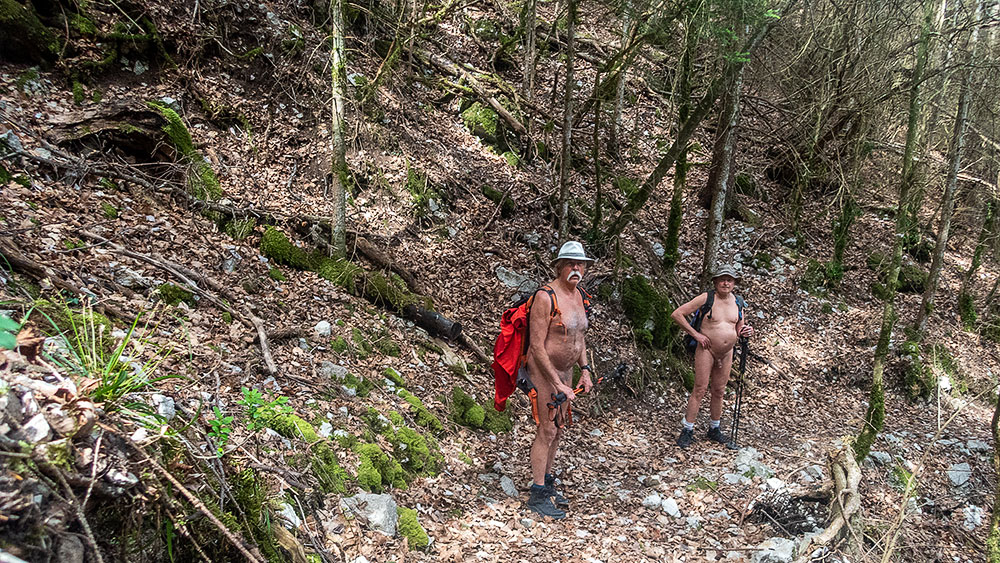
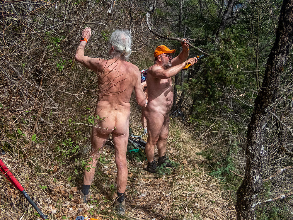
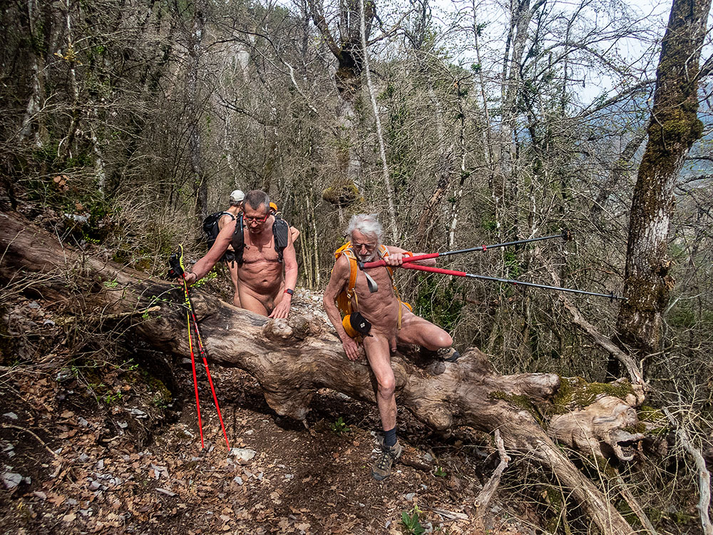
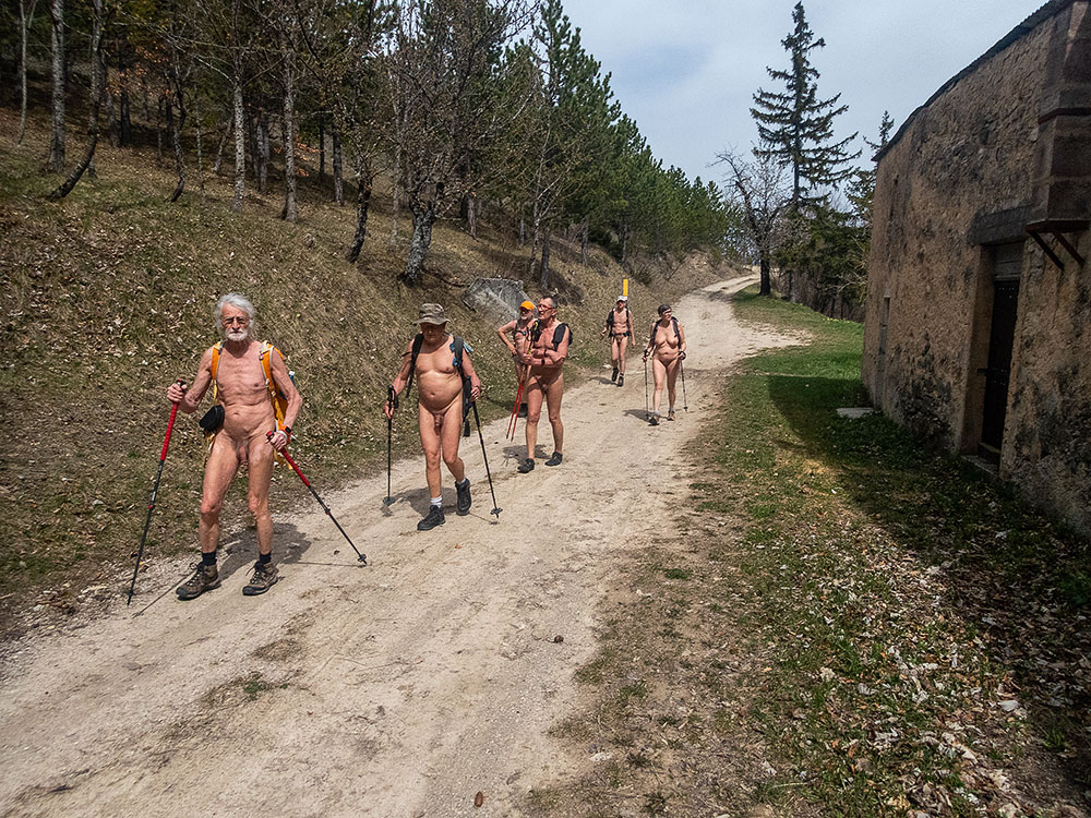
Bernard a exploré seul un parcours au dessus du village de Miscon et a proposé de retourner en groupe continuer le cheminement qui nécessite du débroussaillage. Étant à Valence la veille, je me pose pour la nuit en bordure de forêt pour être à l’heure au rendez vous. Nous sommes quatre avec Francis et Benoît. Le ciel est assez voilé, le soleil attendu ne fera que de brèves apparitions, mais le fond de l’air est plutôt doux. On est vite nus dans la montée sur la piste forestière. Piste que l’on coupe par des sentiers raccourcis – ou pas – car on se retrouve sur un petit chemin qui nous fait faire une boucle supplémentaire, mais il est si agréable que c’est un plaisir de le suivre, d’autant qu’il permet de gagner de l’altitude tout en douceur. On retrouve finalement le GR91 pour arriver à proximité des Granges. De là on s’engage le long du ruisseau, pratiquement à sec, dans le ravin de Gardon, où il semble qu’existait un ancien chemin. Bernard dans son exploration était venu jusqu’à là. Pour continuer, il faut déblayer le bois mort entassé à terre, couper les branches qui envahissent le cheminement, se frayer un passage dans la végétation. Un sécateur, deux coupe-branches et une scie entrent en action. Mais à ce rythme là, on n’avance pas vite et l’heure du casse croûte arrive. On se pose sur des troncs moussus. Puis en explorant un peu en amont on se rends compte que le ravin devient de plus en plus étroit et sauvage. Il faut se résigner à faire demi tour. On tente au jugé un passage dans la forêt qui nous ramène sur nos traces au début du ravin. On redescend tranquillement en suivant cette fois le parcours du GR jusqu’à proximité de la première maison de Miscon et de la route, où il nous faudra bien se rhabiller.


Bernard explored alone a route above the village of Miscon and proposed to return in group to continue the path which requires clearing of brush. As I was in Valence the day before, I settled down for the night at the edge of the forest to be on time for the rendezvous. We are four with Francis and Benoît. The sky is rather veiled, the expected sun will make only brief appearances, but the air is rather soft. We are quickly naked in the rise on the forest track. Track that we cut by shortened paths – or not – because we find ourselves on a small path which makes us make an additional loop, but it is so pleasant that it is a pleasure to follow it, more especially as it allows to gain altitude all gently. We finally rejoin the GR91 to arrive near the Granges. From there we go along the stream, practically dry, in the Gardon ravine, where it seems that an old path existed. Bernard in his exploration had come to this point. To continue, we had to clear the dead wood piled up on the ground, cut the branches that were invading the path, and make a way through the vegetation. A pruning shears, two branch cutters and a saw come into action. But at this rate there, one does not advance quickly and the hour of the snack arrives. We settle on mossy trunks. Then by exploring a little upstream we realize that the ravine becomes more and more narrow and wild. It is necessary to resign itself to make half turn. We try at first sight a passage in the forest which brings us back on our tracks at the beginning of the ravine. We go back down quietly by following this time the course of the GR until the proximity of the first house of Miscon and the road, where it will be necessary for us to get dressed.

Pic de Luc

Ce qui ne devait être qu’une petite balade (500 m de dénivelé seulement) s’est mué en une exploration archéologique! Petite balade de l’association des Marcheurs Nus du Val de Roanne au départ du village de Luc en Diois avec comme objectif le Pic de Luc qui domine la ville. Aujourd’hui nous sommes six. Passé la voie ferrée, on se retrouve tout de suite dans la nature. Encore quelques centaines de mètres habillés, le temps de croiser un paysan sur son tracteur et les enfants de la maternelle qui reviennent de promenade avec leurs accompagnants, et l’on quitte les vêtements. On ne les remettra qu’à la vue des premières maison au retour. Le chemin monte en zigzag dans le ravin de la Rochette avec un premier coup d’œil vu de haut sur Luc, il rejoint une piste forestière qui s’étire à flanc de colline sur trois kilomètres et demi. On fait de la distance, certes sur un terrain facile, mais on ne monte guère. Enfin on quitte la piste pour un petit sentier qui serpente encore dans la forêt avant de se décider à grimper quand même. Passage en balcon au dessus des pentes ravinées abruptes. Nouvelle vue panoramique sur le village et ses environs. Encore un petit effort et l’on débouche au sommet. Vue, un peu brumeuse dans les lointains, à 360° sur la vallée de la Drôme en amont et en aval, sur le Glandasse à l’extrémité du Vercors, sur la montagne d’Aucelon et la Servelle de Bret. Juste en dessous de nous le site du Claps et son éboulement historique de 1442 dont les traces sont encore si visibles. Le lac formé à l’époque est maintenant une plaine agricole. Le bloc rocheux sur lequel on s’appuie pour regarder le paysage n’est en fait pas une pierre, mais le reste d’un mur de l’époque romaine. Il y avait là, sur ce sommet, un poste de garde qui surveillait les environs. Ne restent plus que quelques morceaux de murs éparpillés sur la crête. Après le casse croûte, on partira à la recherche d’autres vestiges, dont celui de cette petite arche qui faisait communiquer les bassins d’un réservoir d’eaux pluviales. Quelle sensation de se retrouver ainsi, nus, à explorer les traces de cette histoire aussi ancienne.


What was supposed to be a short walk (only 500 m difference in altitude) turned into an archaeological exploration! Small walk of the association of the Naked Walkers of the Valley of Roanne at the beginning of the village of Luc en Diois with as objective the Peak of Luc which dominates the city. Today we are six. Passed the railroad, we find ourselves immediately in the nature. Still a few hundred meters dressed, the time to cross a farmer on his tractor and the children of the nursery school which return from walk with their accompanying persons, and we leave the clothes. We shall put them back only at the sight of the first houses in the return. The way goes up in zigzag in the ravine of the Rochette with a first glance seen of top on Luc, it joins a forest track which stretches in side of hill on three and a half kilometers. One makes distance, certainly on an easy ground, but one hardly goes up. Finally we leave the track for a small path which still winds in the forest before deciding to climb anyway. Passage in balcony above the steep gullied slopes. New panoramic view on the village and its surroundings. Still a small effort and we reach the top. View, a little foggy in the distance, 360° on the valley of the Drôme upstream and downstream, on the Glandasse at the end of the Vercors, on the mountain of Aucelon and the Servelle de Bret. Just below us the site of Claps and its historical landslide of 1442 whose traces are still so visible. The lake formed at that time is now an agricultural plain. The boulder on which we lean to look at the landscape is not in fact a stone, but the remainder of a wall from the Roman period. There was there, on this summit, a guard post which supervised the surroundings. Only remain some pieces of walls scattered on the crest. After the snack, we will go in search of other vestiges, of which that of this small arch which made communicate the basins of a rainwater tank. What a sensation to find ourselves naked, exploring the traces of this ancient history.


Pluie à Rochefourchat

Pour cette sortie des Marcheurs Nus du Val de Roanne, on a rendez vous à Rochefourchat, une des plus petite commune de France avec, au dernier recensement, UN habitant. C’est vrai que le village est tout petit: une église, un cimetière, une maison (l’ancienne mairie?) transformée en gîte, deux autres maisons à proximité…et une cabine téléphonique désaffectée. Autour, les champs et la montagne. Sur la route, en arrivant, quelques gouttes de pluie commencent à tomber. On est six, Christian, Patrick, Alex, un nouveau, Pascal, Bernard et moi. Le temps de démarrer, la pluie s’est installée…et cela semble parti pour durer toute la journée. Tant pis, on y va! Entre parapluies et parkas avec capuchons, on va se protéger. Le chemin grimpe tout de suite, très humide par moments. On s’élève au dessus du village. Le sentier est très étroit , on est en file indienne, sans vraiment possibilité d’être côte à côte pour discuter. On passe devant une grande bergerie à proximité de ruines de maisons. Puis on continue à monter. On sort de la forêt sur cette crête de Serre Delegue, sur la montagne de Couspeau. Là un vent froid nous cueille. On est aussi plus ou moins dans la brume qui nous cache le paysage. Il n’y a rien à voir. Demi tour pour retrouver la bergerie et se mettre au sec pour le casse-croûte. Une fois rassasiés, on retrouve la pluie pour la descente jusqu’au village. Cela a été une randonnue particulièrement humide, mais la découverte d’un coin qui nous incitera à revenir sous de meilleurs auspices.


For this outing of the Naked Walkers of the Roanne Valley, we have an appointment in Rochefourchat, one of the smallest municipalities in France with, at the last census, ONE inhabitant. It’s true that the village is very small: a church, a cemetery, a house (the old town hall?) transformed into a gîte, two other houses nearby and a disused telephone booth Around, the fields and the mountain. On the road, as we arrive, a few drops of rain start to fall. We are six, Christian, Patrick, Alex, a new one, Pascal, Bernard and me. The time to start, the rain settled…and that seems to last all day. Too bad, we go! Between umbrellas and parkas with hoods, we will protect ourselves. The way climbs right away, very wet by moments. We rise above the village. The path is very narrow, we are in single file, without really possibility to be side by side to discuss. We pass in front of a big sheepfold near ruins of houses. Then we continue to go up. We emerge from the forest on this crest of Serre Delegue, on the mountain of Couspeau. There a cold wind picks us up. We are also more or less in the mist which hides us the landscape. There is nothing to see. Half turn to find the sheepfold and to put ourselves in the dry for the snack. Once satisfied, we return to the rain for the descent to the village. It was a particularly wet hike, but the discovery of a place which will incite us to return under better auspices.