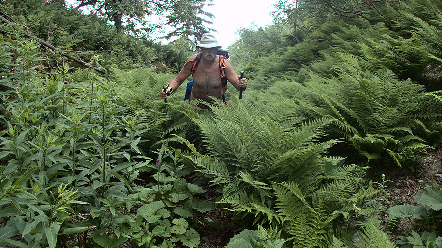
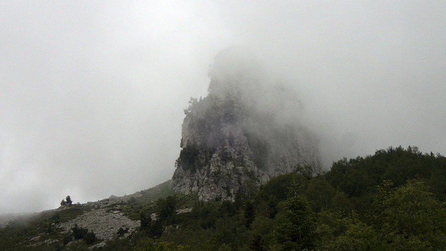
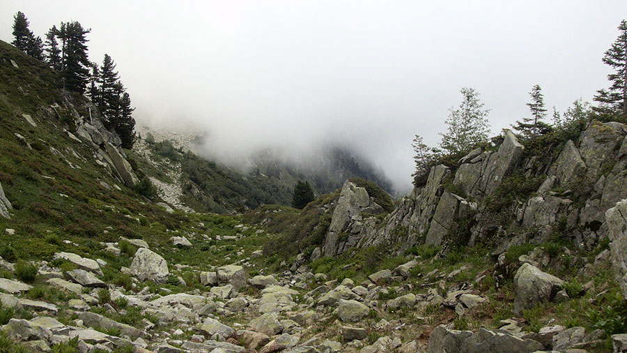
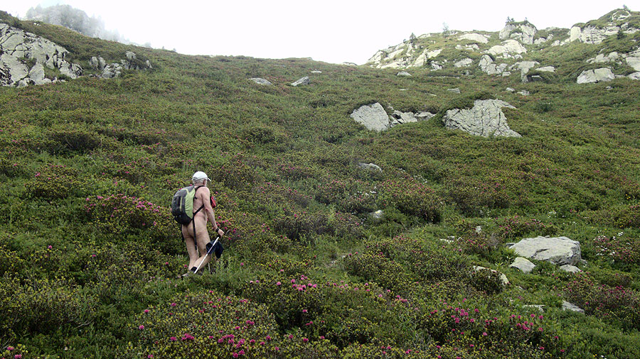
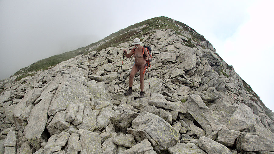
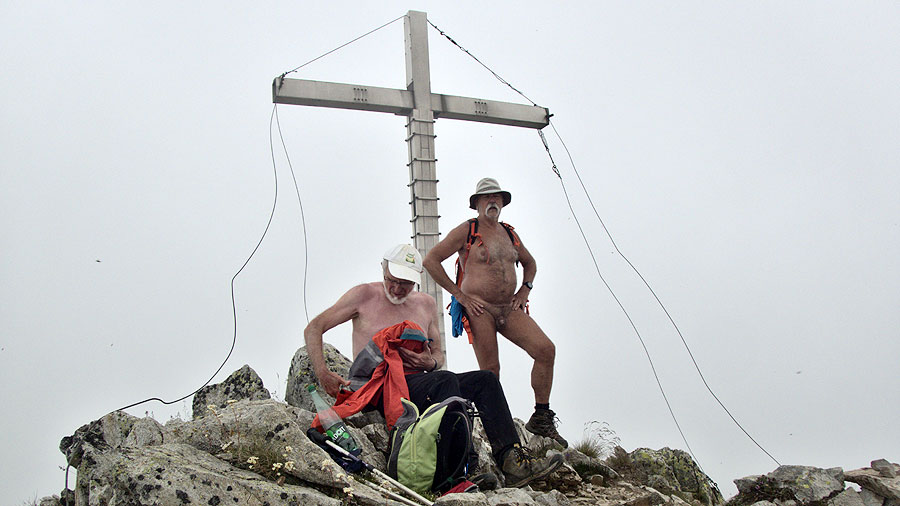
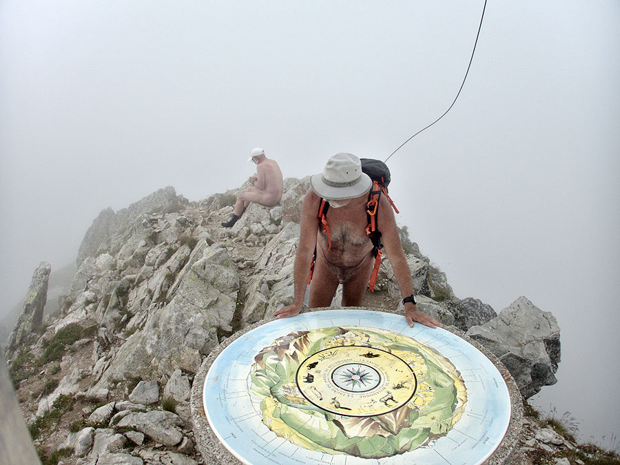
Bruno a proposé une sortie à la Pointe de Rognier, tout au bout du massif de Belledonne, en Savoie. Ne connaissant pas ce sommet, je suis naturellement partant. Il faut rejoindre la vallée de la Maurienne, puis monter par une petite route et une interminable piste caillouteuse pour rejoindre notre point de départ à 1400 m d’altitude. Bruno en profite pour tester sa nouvelle voiture hors goudron. Sur la carte, un cheminement devrait nous permettre de faire une boucle, mais sur le terrain ce chemin n’existe plus. Demi tour. A un moment, un cairn au bord de la piste et une trace qui part dans la forêt. On tente l’exploration! Ça grimpe tout droit et raide. Quelques marques d’un balisage ancien subsistent sur des troncs d’arbres, ça doit donc mener quelque part. Parfois la trace disparaît recouverte par la végétation ou par les éboulis rocheux, il faut chercher en gardant l’orientation du terrain jusqu’à revoir un marquage. C’est quelque peu fatiguant, on avance lentement mais on avance et on rejoint finalement un itinéraire plus « classique » au Plan du Lai. De là de bons raidillons grimpent en lacets vers la crête qui nous mènera tout en haut au Rognier. Le paysage disparaît de temps à autre dans les nuages qui montent et se déchirent, nous enveloppent. Il fait presque frais. L’œil de géologue de Bruno lui montre les traces de failles anciennes alors que je n’y vois que des blocs de rochers. Enfin après quatre heures d’efforts nous sommes au sommet, sous la croix géante, devant la table d’orientation, mais il n’y a rien à voir, que le gris des nuages tout autour. Mais, peut être à cause de cette météo, nous sommes seuls et tranquilles. On ne traîne guère sur cette pointe étroite. Il faut d’abord trouver le chemin de descente dans cet environnement minéral pour ne pas reprendre notre parcours de montée et faire une boucle. On hésite un peu, mais on trouve. En plein brouillard, il me semble entendre des voix, j’enfile mon short, mais deux minutes plus tard je le quitte, je n’entends ni ne vois rien. Peu après deux silhouettes apparaissent juste devant moi dans la brume. Pas le temps de mettre le short. « A cause du brouillard, je ne vous ai pas vu et n’ai pas pu m’habiller! » Il sourient. On discute un moment sur notre itinéraire. Ils connaissent l’ancien chemin que l’on a pris à la montée. Des gens du coin! Le parcours de descente rejoint le passage de Vachevieille puis s’engage dans une forêt fantasmagorique dans les bancs de nuages. Là les bords du chemin ont été passés à la débroussailleuse tout récemment, quelques troncs d’arbres ont été tronçonnés. Un si beau chemin que l’on loupe l’embranchement du sentier qui doit nous ramener à la voiture. Un coup d’œil au gps, il nous faut faire demi tour et remonter un peu. Les deux hommes croisés précédemment déboulent. Ils m’ont déjà vu nu, inutile de se rhabiller! Ils nous indiquent l’endroit où il faut tourner. Heureusement, car sans leurs indications précises , on l’aurait manqué une seconde fois, car il faut se glisser sous les branchages pour apercevoir un semblant de sente presque invisible qui part sur le côté. Le sentier s’étire à flanc avant de descendre. Il parait interminable. Un dernier arrêt devant un ruisseau pour se rafraîchir et voilà la voiture. Une bonne journée, même si la météo n’a pas été de la partie, avec 7 heures de balade, sans beaucoup d’arrêts, 13 km de distance et 1200 m de dénivelé!
Bruno proposed an outing to the Pointe de Rognier, at the very end of the Belledonne massif in Savoie. As I don’t know this summit, I’m naturally up for it. We have to join the Maurienne valley, then climb up a small road and an endless stony track to reach our starting point at 1400 m altitude. Bruno takes the opportunity to test his new car off the tarmac. On the map, a path should allow us to make a loop, but on the ground this path no longer exists. Half turn. At one point, a cairn at the edge of the track and a trace that goes into the forest. We try to explore! It climbs straight and steep. Some marks of an ancient beaconing remain on tree trunks, so it must lead somewhere. Sometimes the trace disappears, covered by vegetation or rocky scree. We have to search while keeping the orientation of the terrain until we see a marker again. It’s a bit tiring, we move slowly but we advance and finally reach a more « classic » route at the Plan du Lai. From there good steep climbs up in laces towards the ridge that will take us to the top of Rognier. The landscape disappears from time to time in the clouds that rise and tear, enveloping us. It is almost cool. Bruno’s geologist’s eye shows him the traces of ancient faults, whereas all I see are boulders. Finally after four hours of effort we are at the top, under the giant cross, in front of the orientation table, but there is nothing to see, only the grey of the clouds all around. But, maybe because of this weather, we are alone and quiet. We hardly hang around on this narrow peak. We first have to find the way down in this mineral environment so that we don’t have to take our way up again and make a loop. We hesitate a little, but we find it. In the middle of the fog, I seem to hear voices, I put on my shorts, but two minutes later I leave it, I neither hear nor see anything. Shortly afterwards two silhouettes appear just in front of me in the fog. No time to put the shorts on. « Because of the fog, I didn’t see you and couldn’t get dressed! » They smile. We talk for a while on our way. They know the old path we took on the way up. Local people! The downhill route joins the passage of Vachevieille then enters a phantasmagorical forest in the cloud banks. Here the edges of the path have been recently cleared with a brushcutter, some tree trunks have been cut. Such a beautiful path that we miss the junction of the path that should take us back to the car. A glance at the gps, we have to turn around and go back up a bit. The two men we had met before come out. They have already seen me naked, no need to get dressed! They tell us where to turn. Fortunately, because without their precise indications, we would have missed it a second time, because we have to slip under the branches to see a semblance of an almost invisible trace that goes to the side. The path stretches out on the side before going down. It seems interminable. One last stop in front of a stream to cool off and there is the car. A good day, even if the weather did not help, with 7 hours of walking, without many stops, 13 km of distance and 1200 m of difference in altitude!
